Elevation of Dorfstraße 44, Altmärkische Höhe, Germany
Location: Germany > Saxony-anhalt > Altmärkische Höhe > Gagel >
Longitude: 11.57744
Latitude: 52.8453
Elevation: 34m / 112feet
Barometric Pressure: 101KPa
Elevation Map:
Satellite Map:
Related Photos:

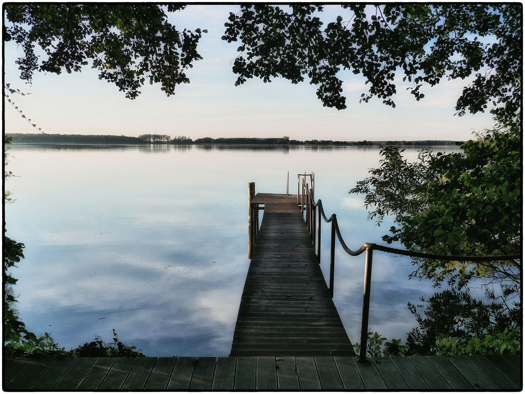
Altmark 1

Tour zum Arendsee
Tour zum Arendsee

Tour zum Arendsee

Tour zum Arendsee

Sonnenstrahl im Wald

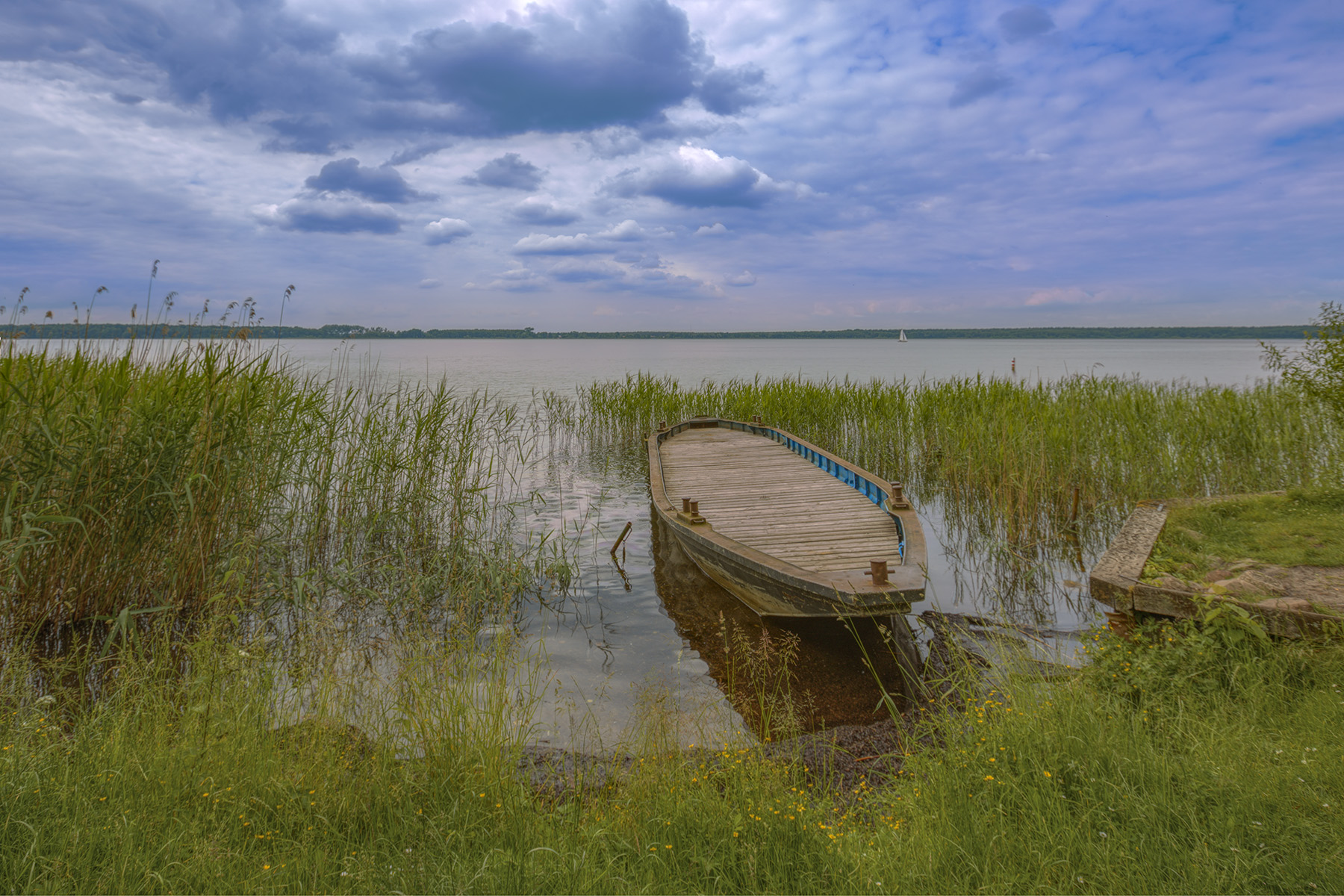
Karpfenteich in Krumke

20110228_748.jpg

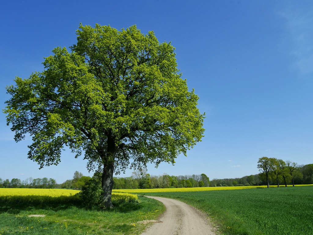
Schräger Baum
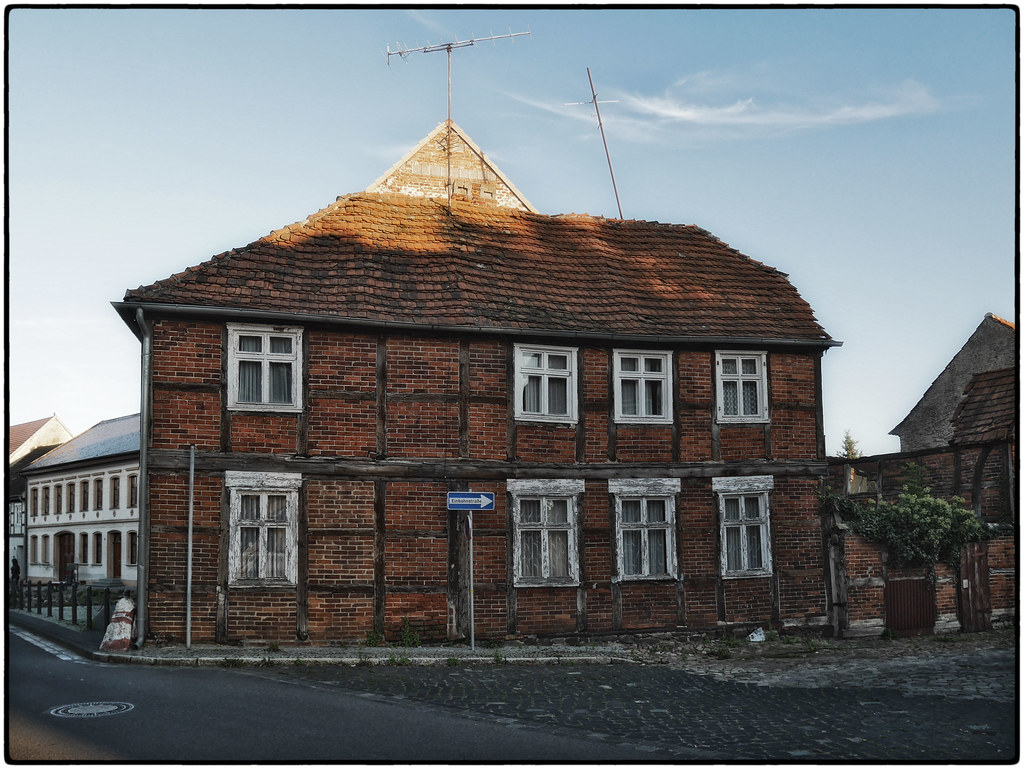
Altmark 2
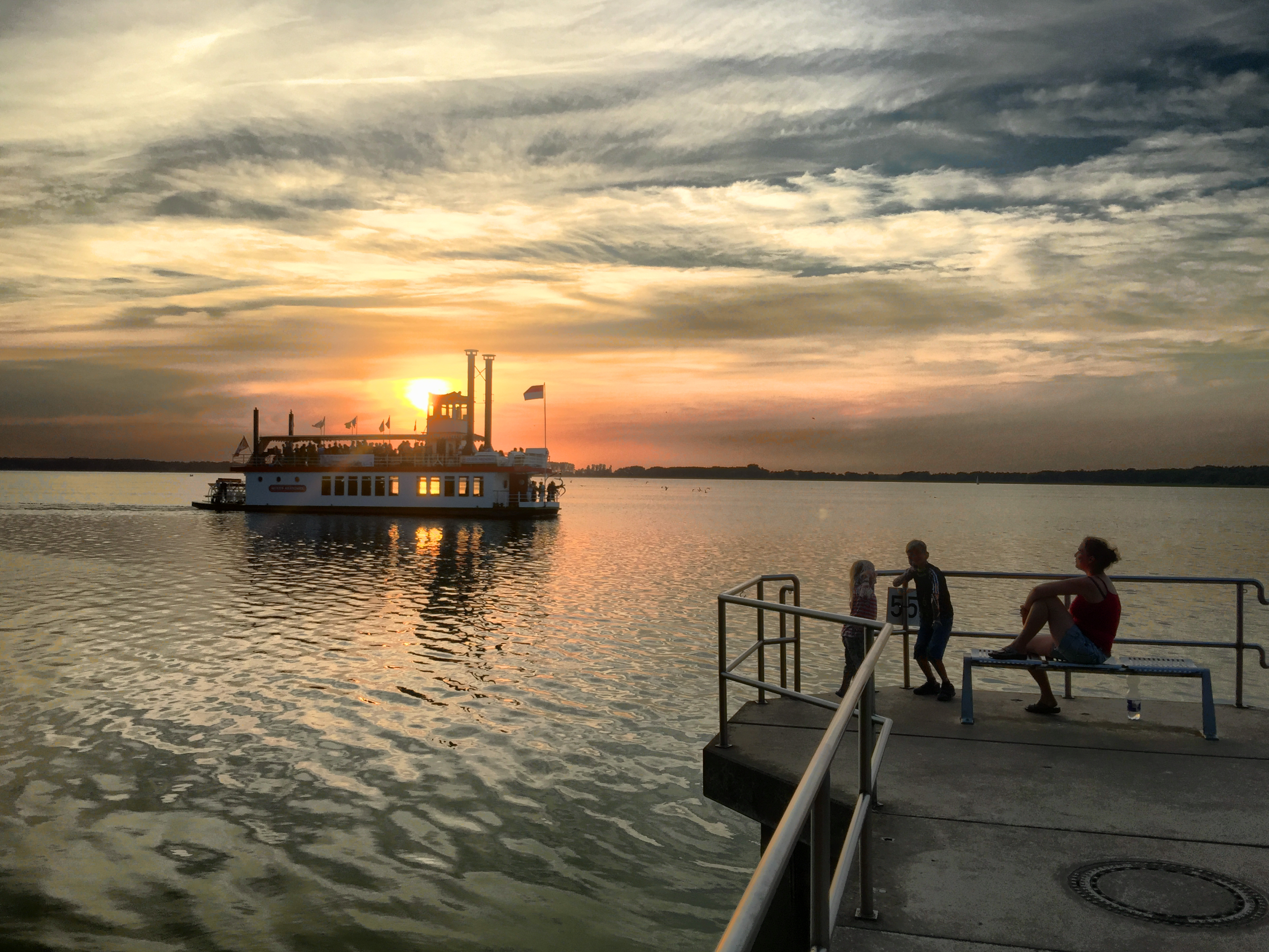
Arendsee - 21.6.2015
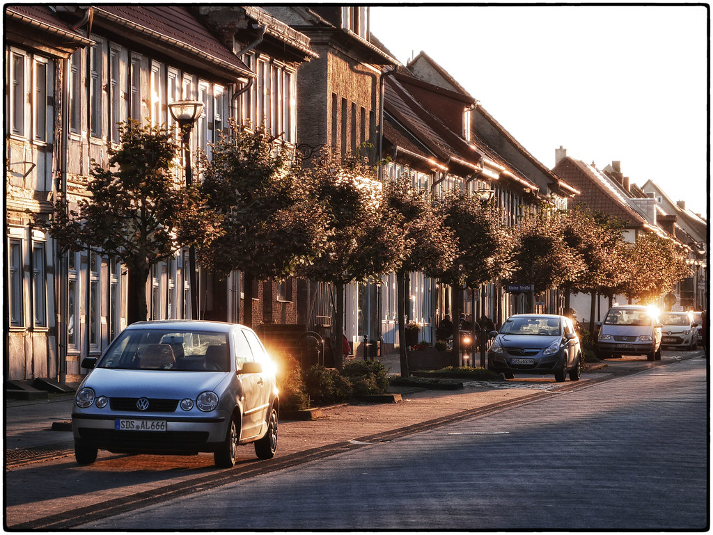
Sunny Eastside Of Mainstreet, Arendsee
Our Hotel's Pool, Arendsee
1A-Lage, Arendsee
Topographic Map of Dorfstraße 44, Altmärkische Höhe, Germany
Find elevation by address:

Places near Dorfstraße 44, Altmärkische Höhe, Germany:
Gagel
Arendsee
Rettungswache Arendsee
Ferienland Arendsee
Späningen
10b
Sanner Dorfstraße 29, Sanne-Kerkuhn, Germany
Kerkuhn
Sanne-kerkuhn
Schrampe
26a
Brunau
Große Dorfstraße 12, Kalbe (Milde), Germany
Schernikau 21, Vissum, Germany
Schernikau
Vissum
Mechau
Dorfstraße 5, Mechau, Germany
Bockleben 2, Lemgow, Germany
Bockleben
Recent Searches:
- Elevation of 15th Ave SE, St. Petersburg, FL, USA
- Elevation of Beall Road, Beall Rd, Florida, USA
- Elevation of Leguwa, Nepal
- Elevation of County Rd, Enterprise, AL, USA
- Elevation of Kolchuginsky District, Vladimir Oblast, Russia
- Elevation of Shustino, Vladimir Oblast, Russia
- Elevation of Lampiasi St, Sarasota, FL, USA
- Elevation of Elwyn Dr, Roanoke Rapids, NC, USA
- Elevation of Congressional Dr, Stevensville, MD, USA
- Elevation of Bellview Rd, McLean, VA, USA