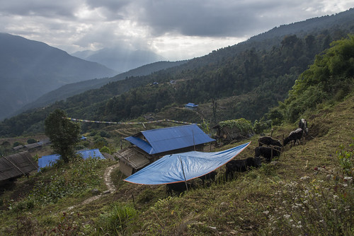
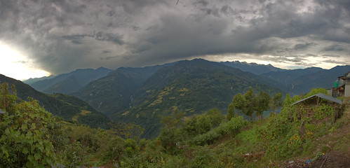
Elevation map of Sankhuwasabha, Nepal
Location: Nepal > Eastern Region > Koshi >
Longitude: 87.1422895
Latitude: 27.6141916
Elevation: 2586m / 8484feet
Barometric Pressure: 74KPa
Related Photos:
Topographic Map of Sankhuwasabha, Nepal
Find elevation by address:

Places in Sankhuwasabha, Nepal:
Places near Sankhuwasabha, Nepal:
Makalu
Chamlang
Salpa Pokhari
Makalu
Mera Peak
Eastern Region
Baruntse
Chomo Lonzo
Num Ri
Thangnag
Cho Polu
Phedi
Kusum Kanguru
Imja Tse
Ama Dablam
Kangtega
Chaurikharka
Chukhung
Lhotse
Jubing
Recent Searches:
- Elevation of Corso Fratelli Cairoli, 35, Macerata MC, Italy
- Elevation of Tallevast Rd, Sarasota, FL, USA
- Elevation of 4th St E, Sonoma, CA, USA
- Elevation of Black Hollow Rd, Pennsdale, PA, USA
- Elevation of Oakland Ave, Williamsport, PA, USA
- Elevation of Pedrógão Grande, Portugal
- Elevation of Klee Dr, Martinsburg, WV, USA
- Elevation of Via Roma, Pieranica CR, Italy
- Elevation of Tavkvetili Mountain, Georgia
- Elevation of Hartfords Bluff Cir, Mt Pleasant, SC, USA


