Elevation of Makalu
Longitude: 87.0911891
Latitude: 27.8860217
Elevation: 7901m / 25922feet
Barometric Pressure: 36KPa
Elevation Map:
Satellite Map:
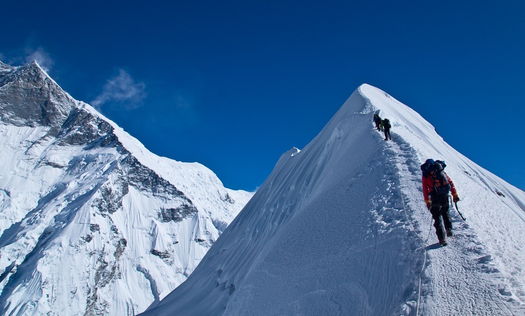
Related Photos:
Nepal - Himalayan Shangri-La (Nghe, Barun Valley)

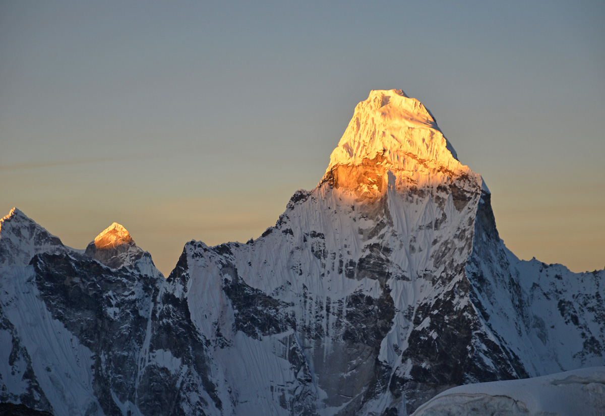
Nepal - Island Peak - 020 - Ama Dablam
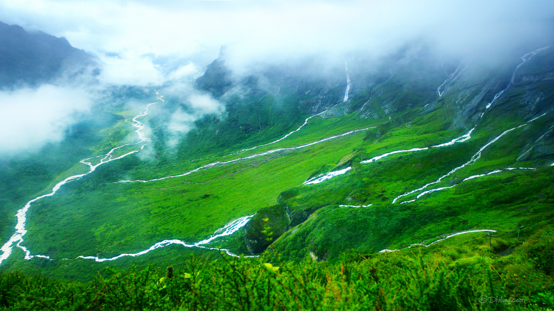
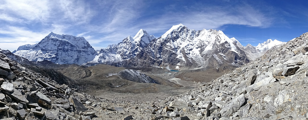
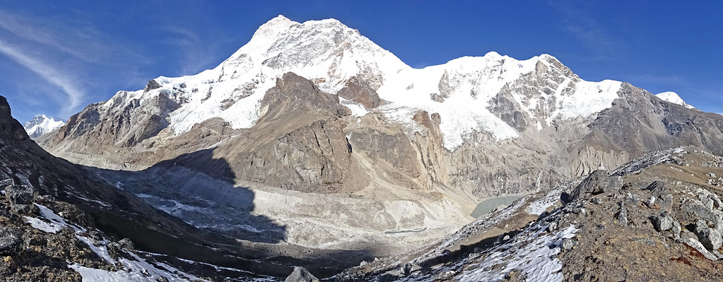
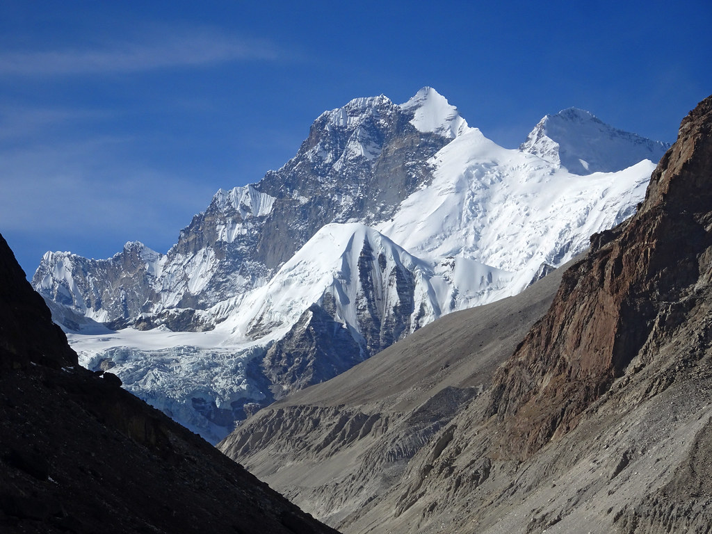
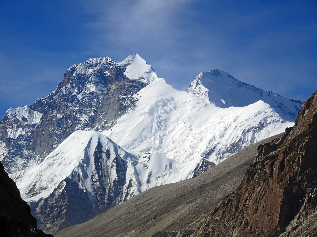
East Nepal 21481-91 Upper Barun Valley
Nepal - Island Peak - 012 - Looking out over SW Ridge
Nepal - Island Peak - 027 - 2nd group still on the peak
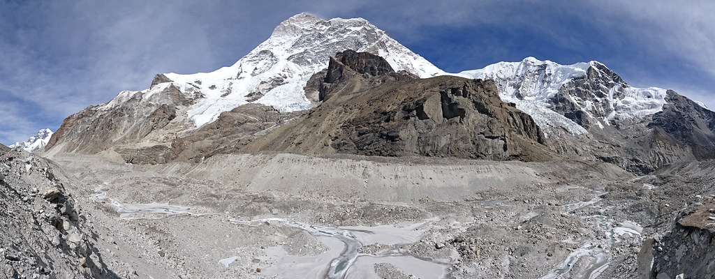
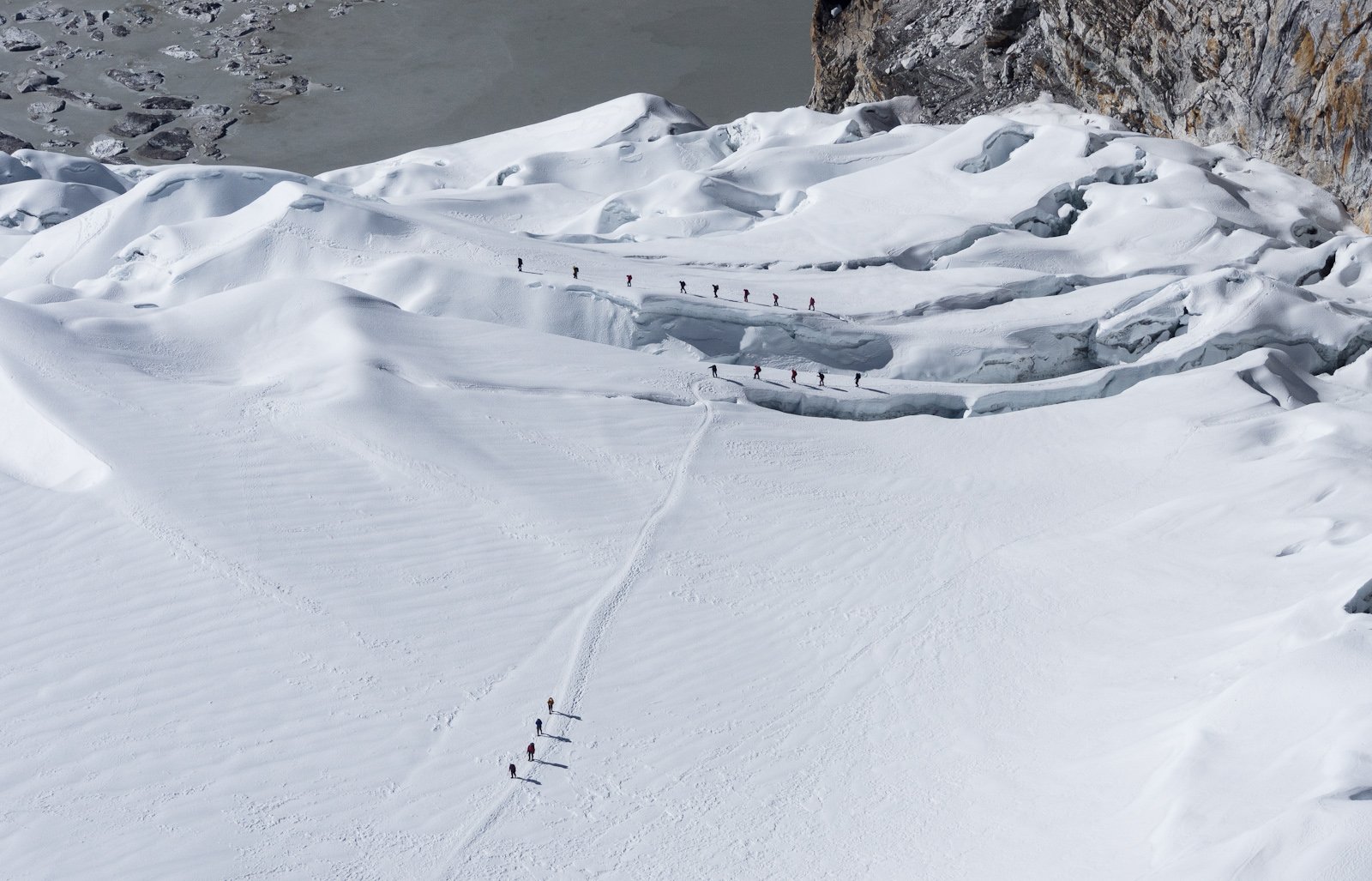
East Nepal 12150 Barun Glacier
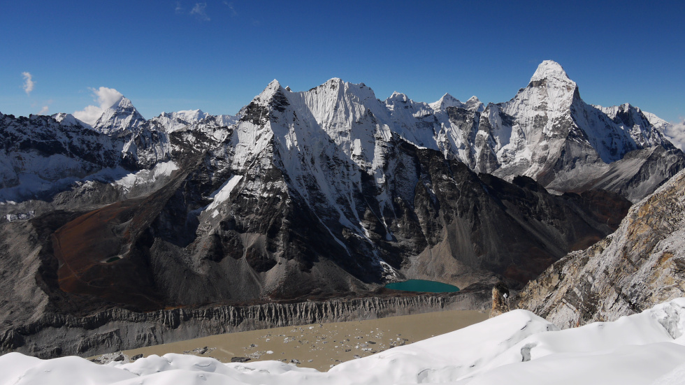
View from 6000 m.
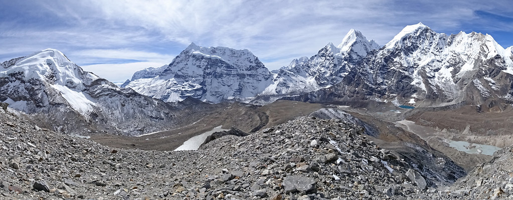
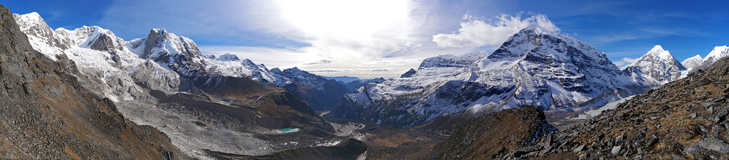
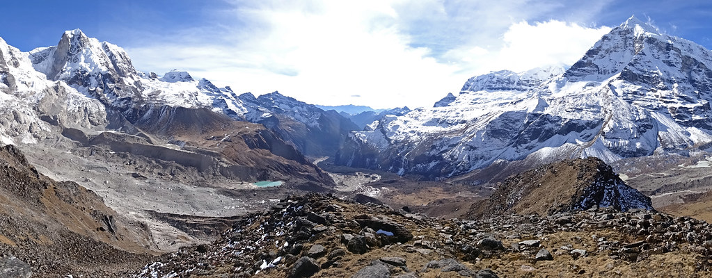
East Nepal 12100 Peaks of Upper Barun Valley
East Nepal 12097 Upper Barun Valley
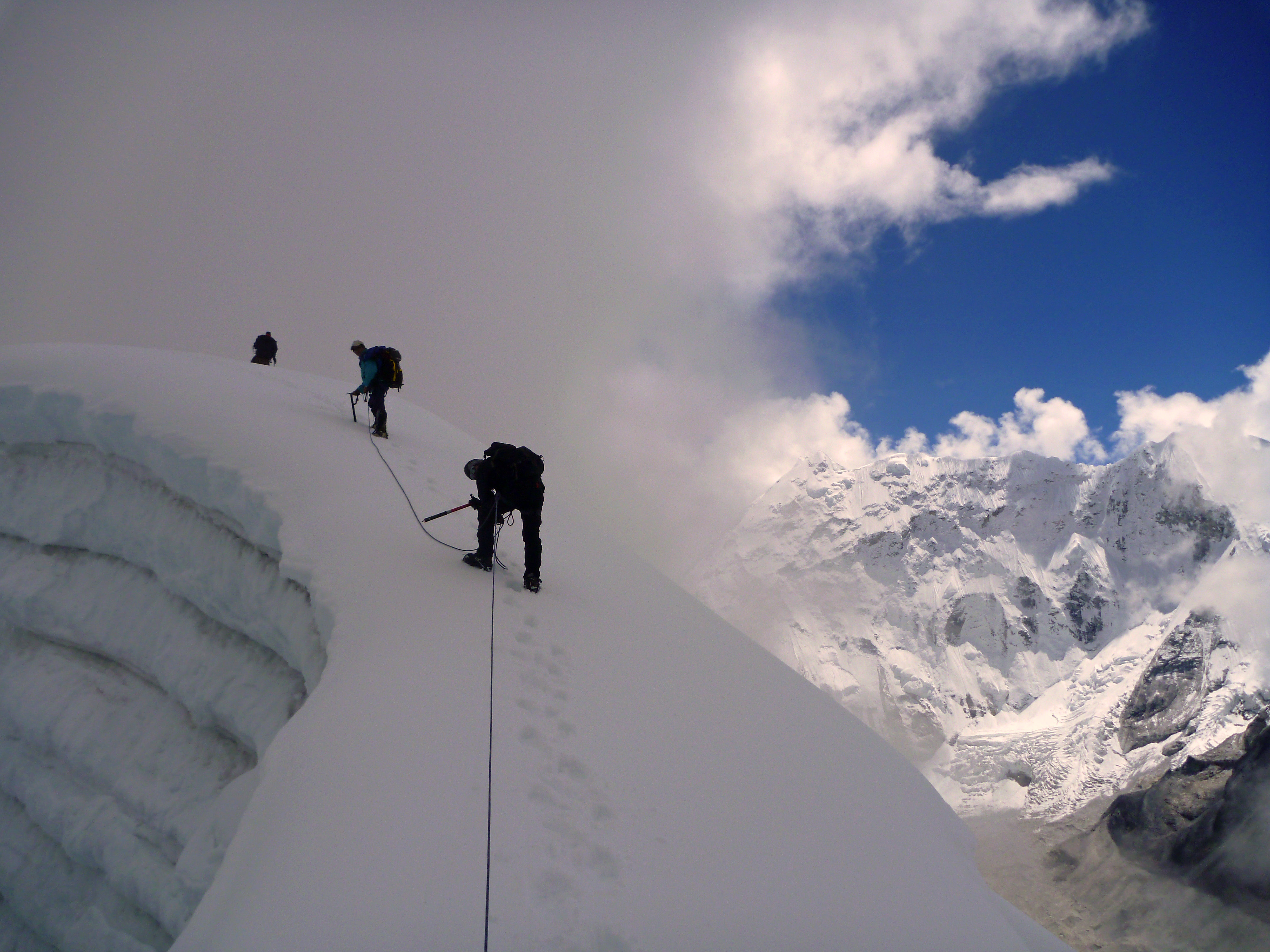
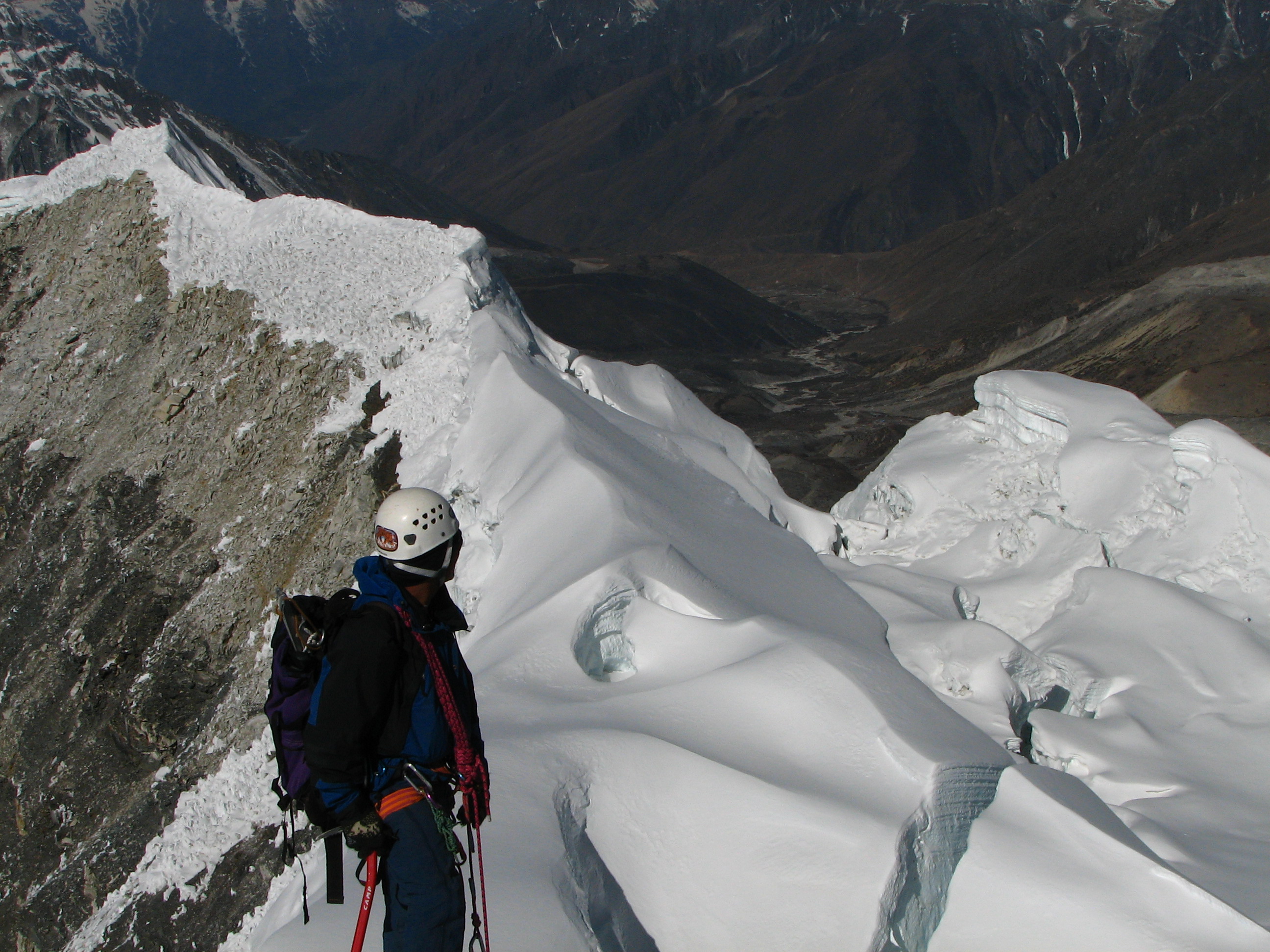
Climbing the glacier - Island Peak
Glacier view.
East Nepal 12170 Upper Barun Valley
Nepal - Aama Bhujung (Pregnant Mother), Barun Valley

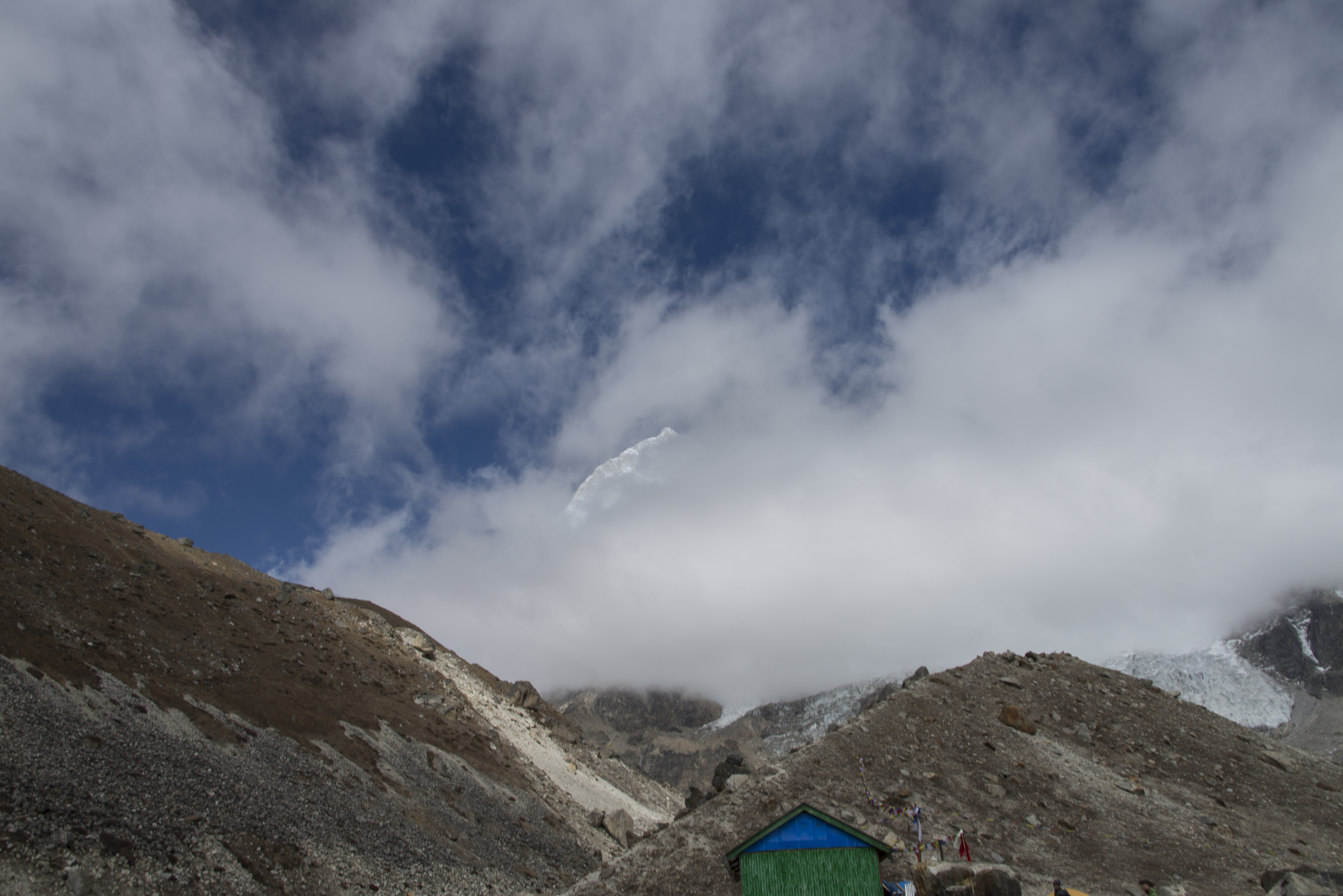
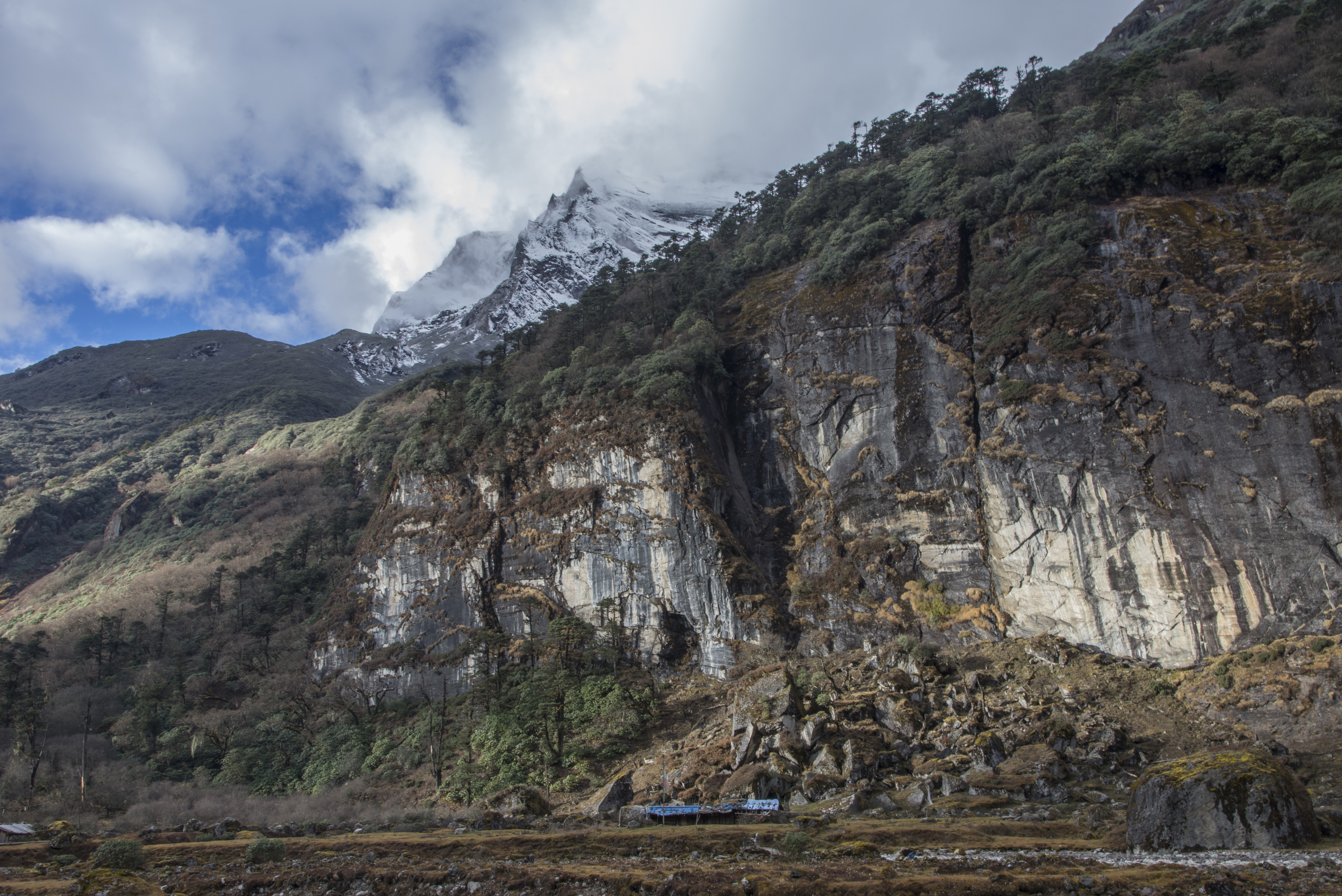
Yangla Kharka
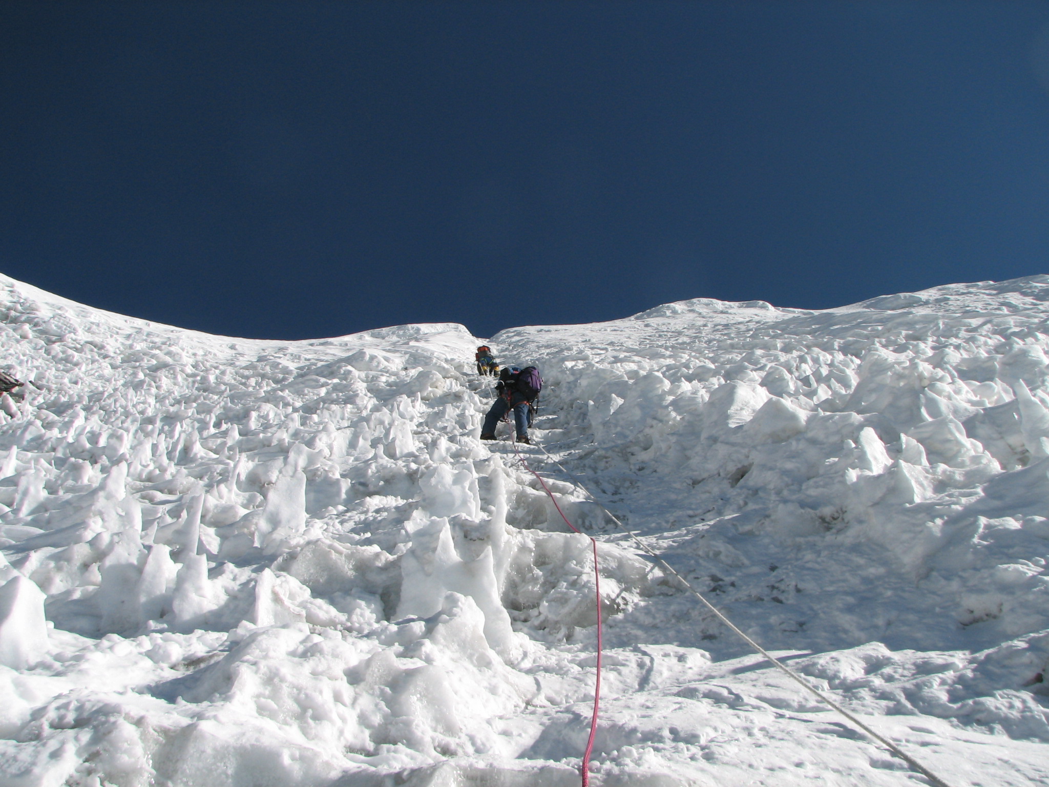
Nepal - Island Peak - 009 - Climbing the sumnmit headwall
Icy white
East Nepal 12126 Barun Glacier
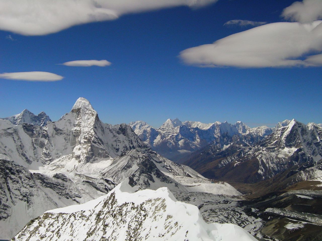
Ama Dablam seen from Island Peak
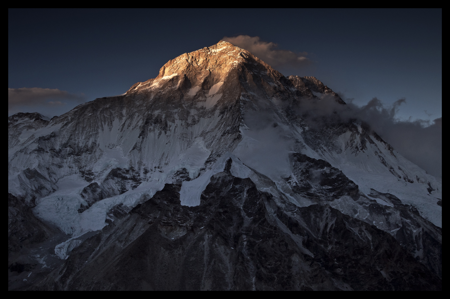
East Nepal 12121 Lhotse and Everest
East Nepal 12124 Lhotse and Everest
First Light
makalu मकालु (8481m)

Trekking 3 collados. Makalu. Nepal
Makalu Base Camp
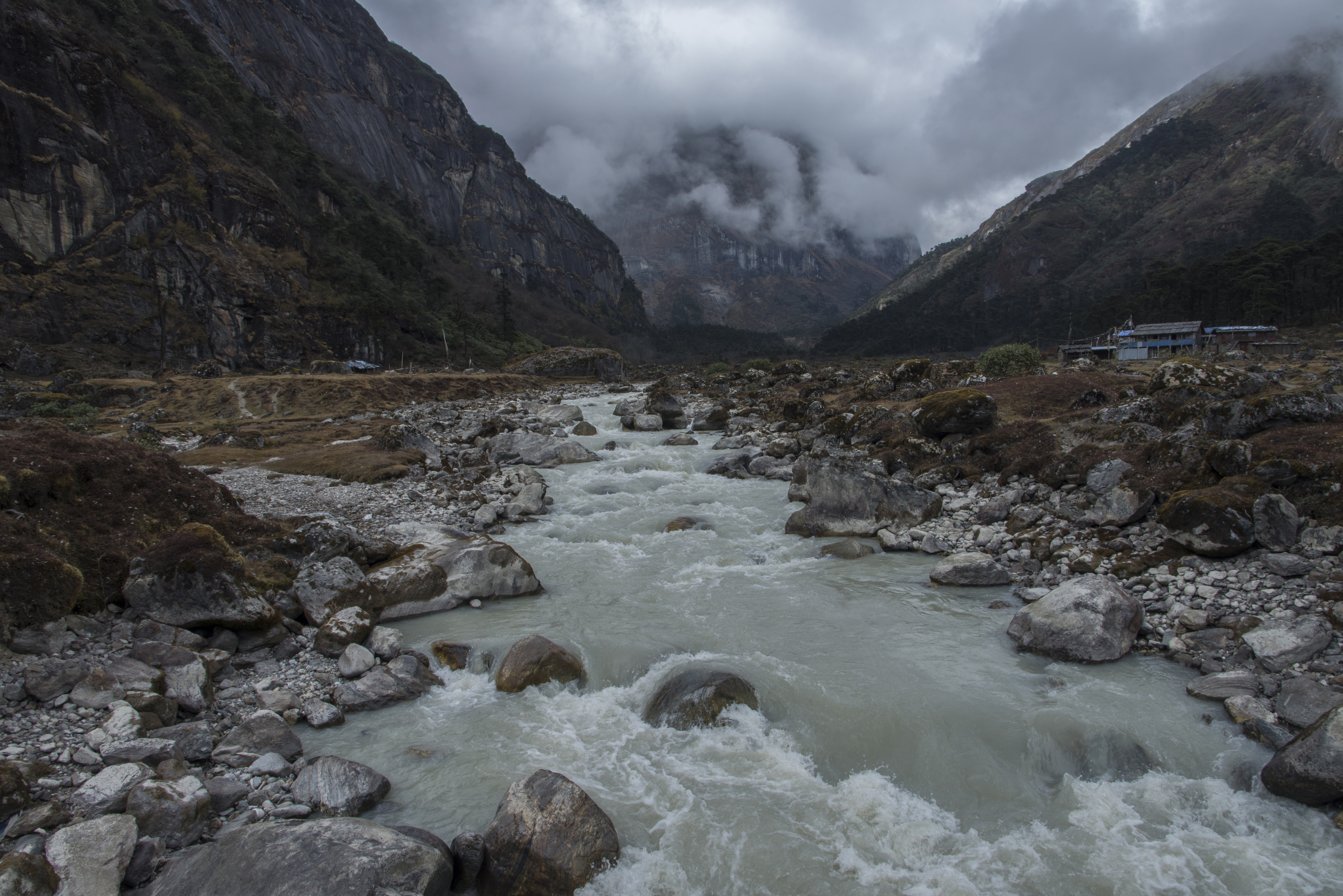
Yangla Kharka

Trekking 3 collados. Makalu. Nepal
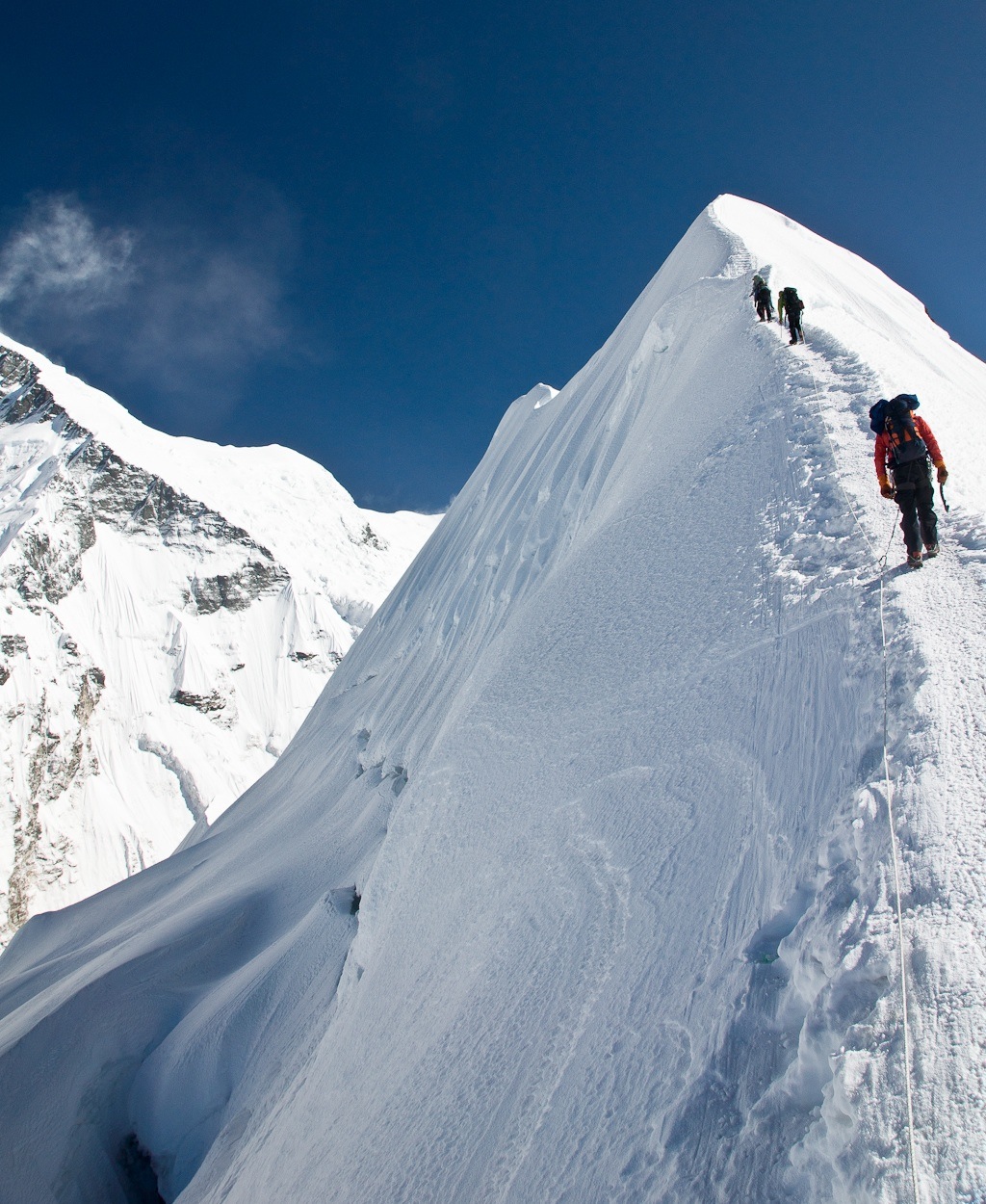
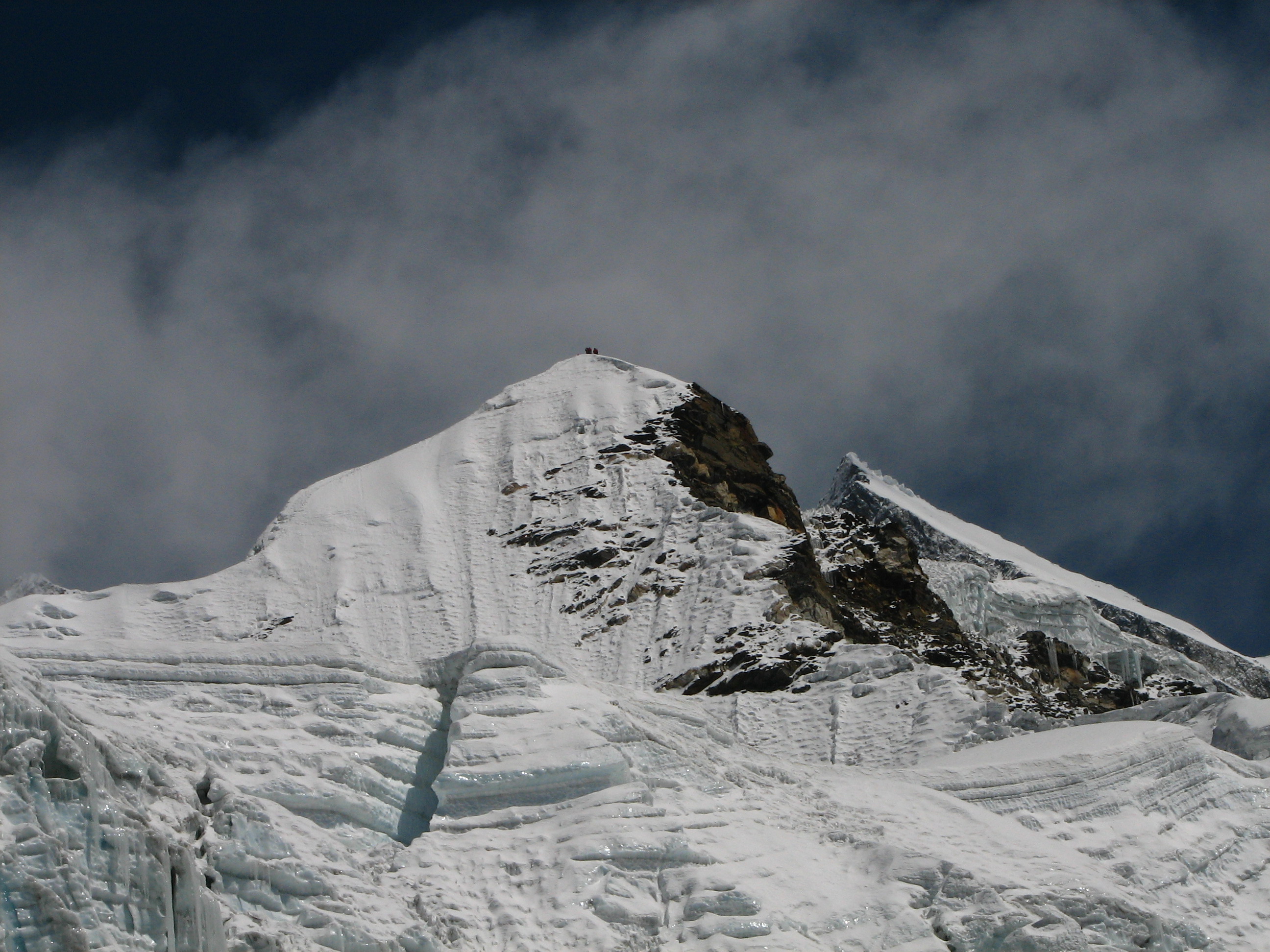
Island peak summit
Yangla Kharka

Trekking 3 collados. Makalu. Nepal

Worldcitizen 2010. Makalu summit 8.450m. Westface from Chukung valley. #Sagarmata NP #Khumbu_himal #himalaya #nepal #trekking #Hikking #trip #traveler #mountain #wanderlust #astonishment #igerszgz #igerspain #igersaragon #igers #igworldclub #igdaily#
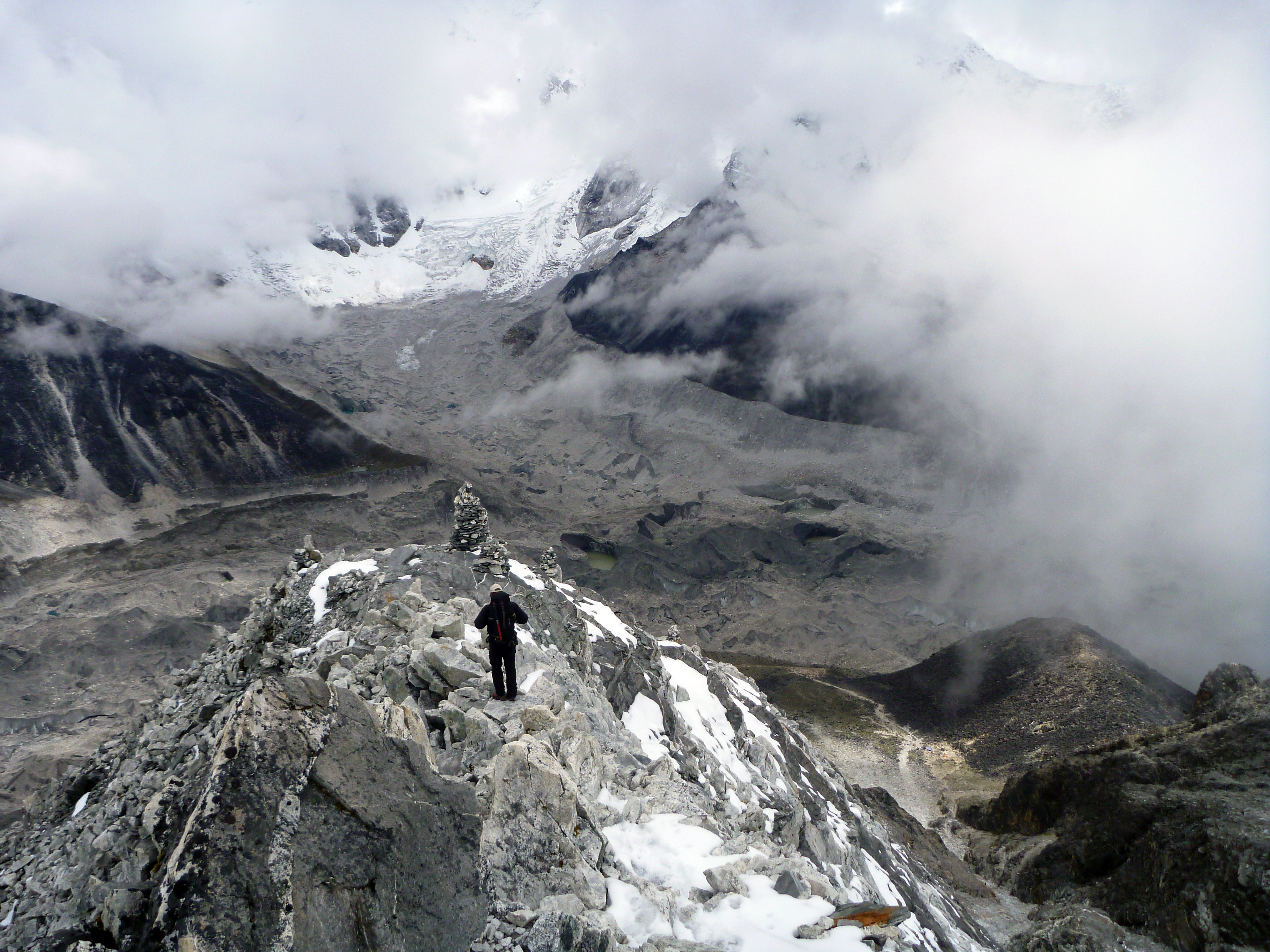
Island peak ridge
Topographic Map of Makalu
Find elevation by address:

Places near Makalu:
Chomo Lonzo
Baruntse
Cho Polu
Num Ri
Makalu
Chamlang
Imja Tse
Lhotse
Everest Base Camp Iv
Mount Everest
Mount Everest
Arkhale
Kaizuh Records
Hillary Peak
Kharta Phu
Chukhung
Nuptse
Changtse
Ama Dablam
Khumbu Icefall
Recent Searches:
- Elevation of Elwyn Dr, Roanoke Rapids, NC, USA
- Elevation of Congressional Dr, Stevensville, MD, USA
- Elevation of Bellview Rd, McLean, VA, USA
- Elevation of Stage Island Rd, Chatham, MA, USA
- Elevation of Shibuya Scramble Crossing, 21 Udagawacho, Shibuya City, Tokyo -, Japan
- Elevation of Jadagoniai, Kaunas District Municipality, Lithuania
- Elevation of Pagonija rock, Kranto 7-oji g. 8"N, Kaunas, Lithuania
- Elevation of Co Rd 87, Jamestown, CO, USA
- Elevation of Tenjo, Cundinamarca, Colombia
- Elevation of Côte-des-Neiges, Montreal, QC H4A 3J6, Canada