Elevation of Sandy Creek, NC, USA
Location: United States > North Carolina > Brunswick County > Northwest >
Longitude: -78.150829
Latitude: 34.2871132
Elevation: 12m / 39feet
Barometric Pressure: 101KPa
Elevation Map:
Satellite Map:
Related Photos:
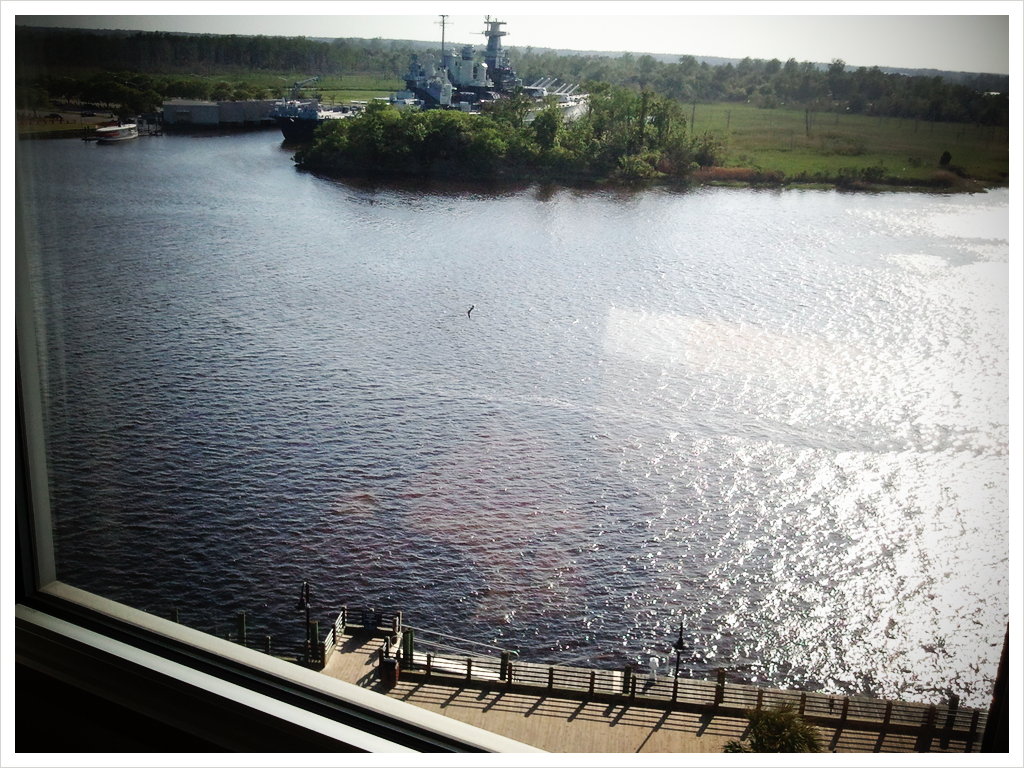
cape fear river view

Serenity at Rock Creek Barn

Small dock

Sturgeon Creek
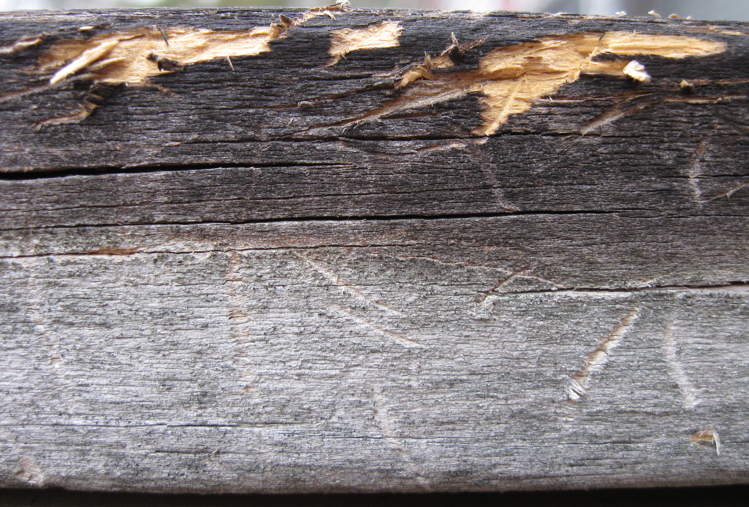
Weathered & Scratched Rail

Town Creek Yacht Club
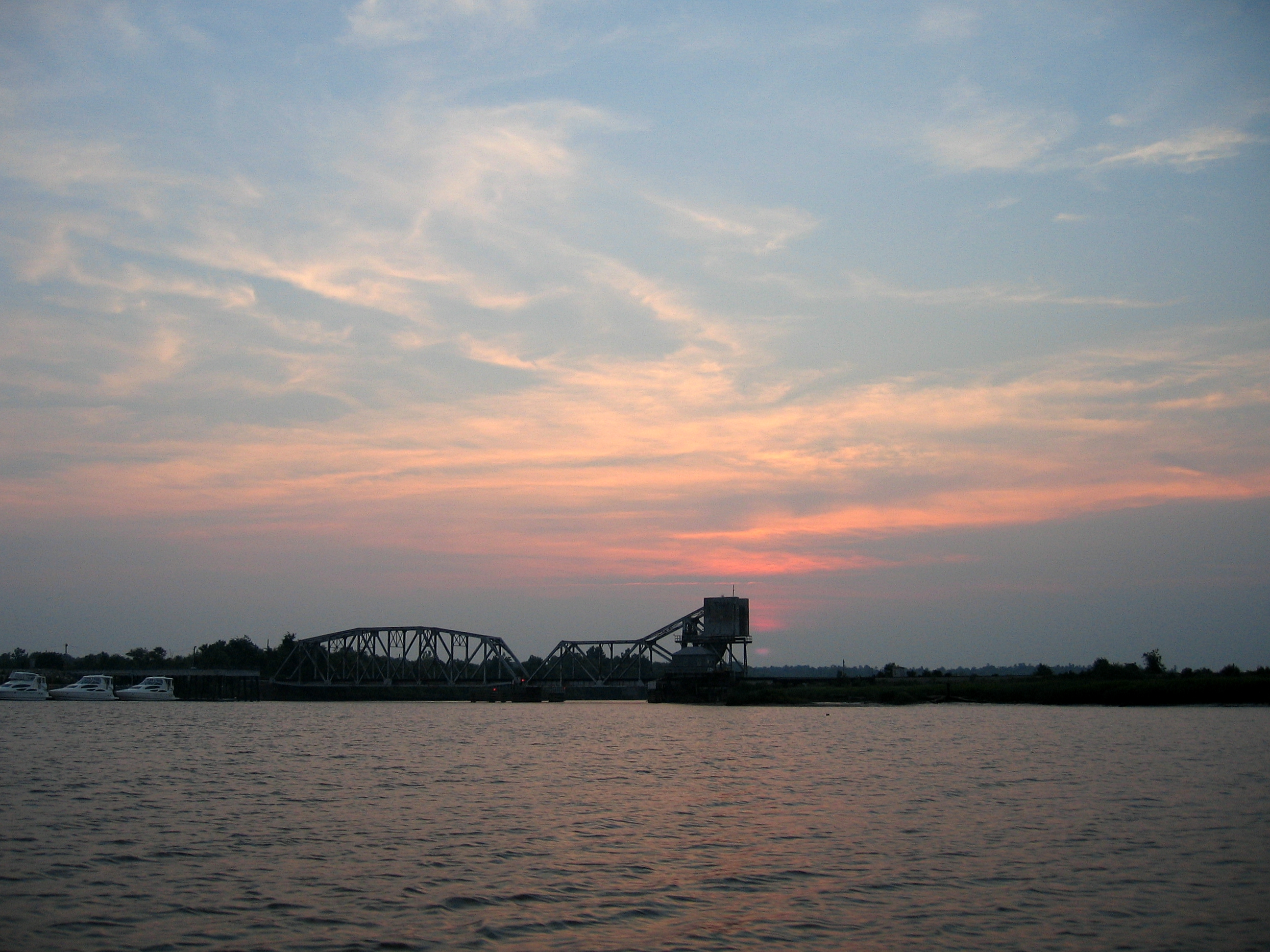
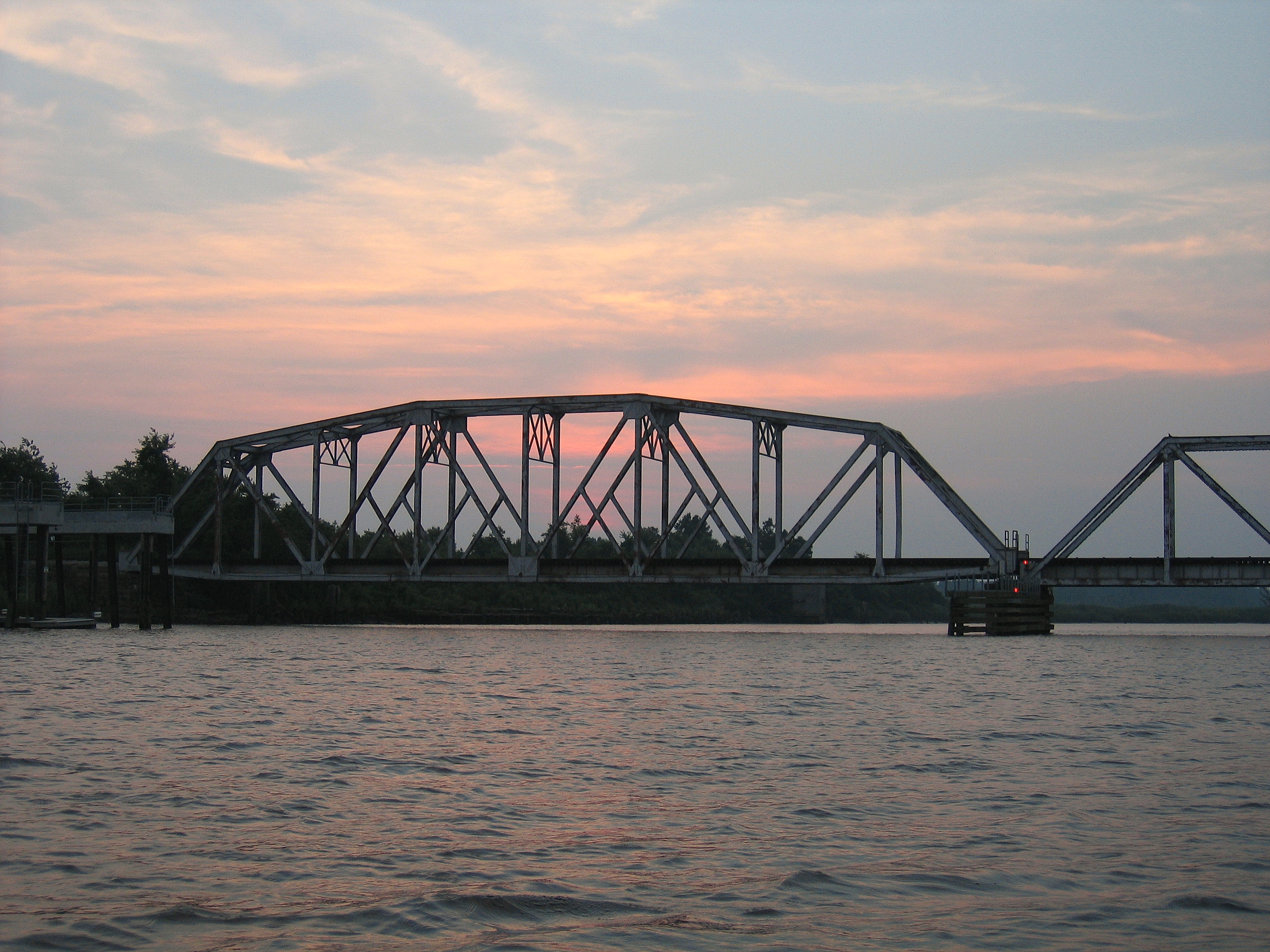
Cape Fear CSX RR Bridge
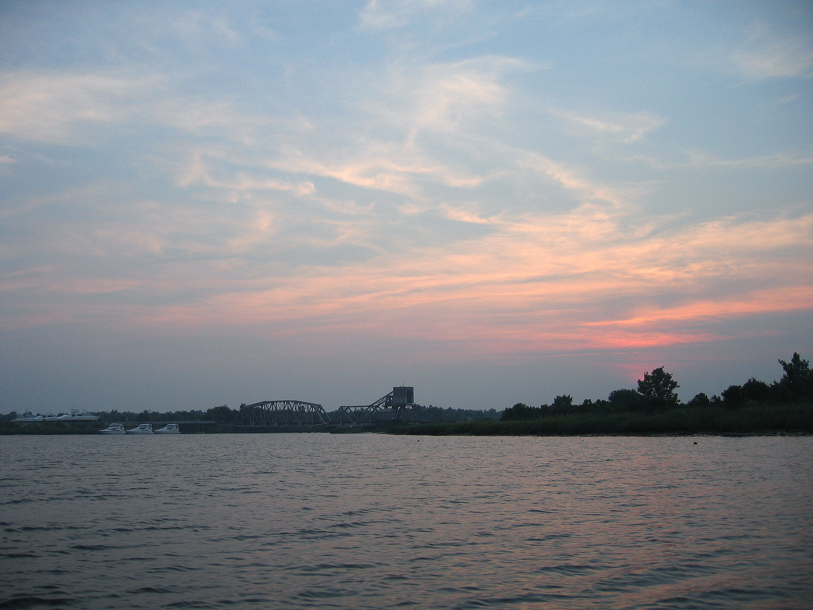
Cape Fear CSX RR Bridge
Fixed Truss Section

returning to the launch

The final bend of the creek

Town Creek, Brunswick County, NC
Topographic Map of Sandy Creek, NC, USA
Find elevation by address:

Places in Sandy Creek, NC, USA:
Places near Sandy Creek, NC, USA:
Hickory Dr, Leland, NC, USA
119 Dogwood Cir
4623 Northwest Rd Ne
Northwest
Pointe Bend Northeast
2418 Compass Pointe South Wynd
Compass Pointe South Wynd
Compass Pointe South Wynd
Hammocks Cove Trail
2104 Compass Pointe South Wynd Northeast
Northwest
8528 N Shoreside Way Ne
State Rd, Delco, NC, USA
35 Evergreen Church Rd, Delco, NC, USA
8601 Wanets Landing Rd Ne
25923 Andrew Jackson Hwy E
Delco
9139 Green Loop Rd Ne
8399 Cassadine Court
Hooper Rd NE, Leland, NC, USA
Recent Searches:
- Elevation of Corso Fratelli Cairoli, 35, Macerata MC, Italy
- Elevation of Tallevast Rd, Sarasota, FL, USA
- Elevation of 4th St E, Sonoma, CA, USA
- Elevation of Black Hollow Rd, Pennsdale, PA, USA
- Elevation of Oakland Ave, Williamsport, PA, USA
- Elevation of Pedrógão Grande, Portugal
- Elevation of Klee Dr, Martinsburg, WV, USA
- Elevation of Via Roma, Pieranica CR, Italy
- Elevation of Tavkvetili Mountain, Georgia
- Elevation of Hartfords Bluff Cir, Mt Pleasant, SC, USA