Elevation of Northwest Rd NE, Leland, NC, USA
Location: United States > North Carolina > Brunswick County > Northwest > Leland >
Longitude: -78.150809
Latitude: 34.3057986
Elevation: 17m / 56feet
Barometric Pressure: 101KPa
Elevation Map:
Satellite Map:
Related Photos:

Swallow-tailed Kite 20130718002178

Swallow-tailed Kite 20130718002067

Wrightsville Beach, NC.

Serenity at Rock Creek Barn
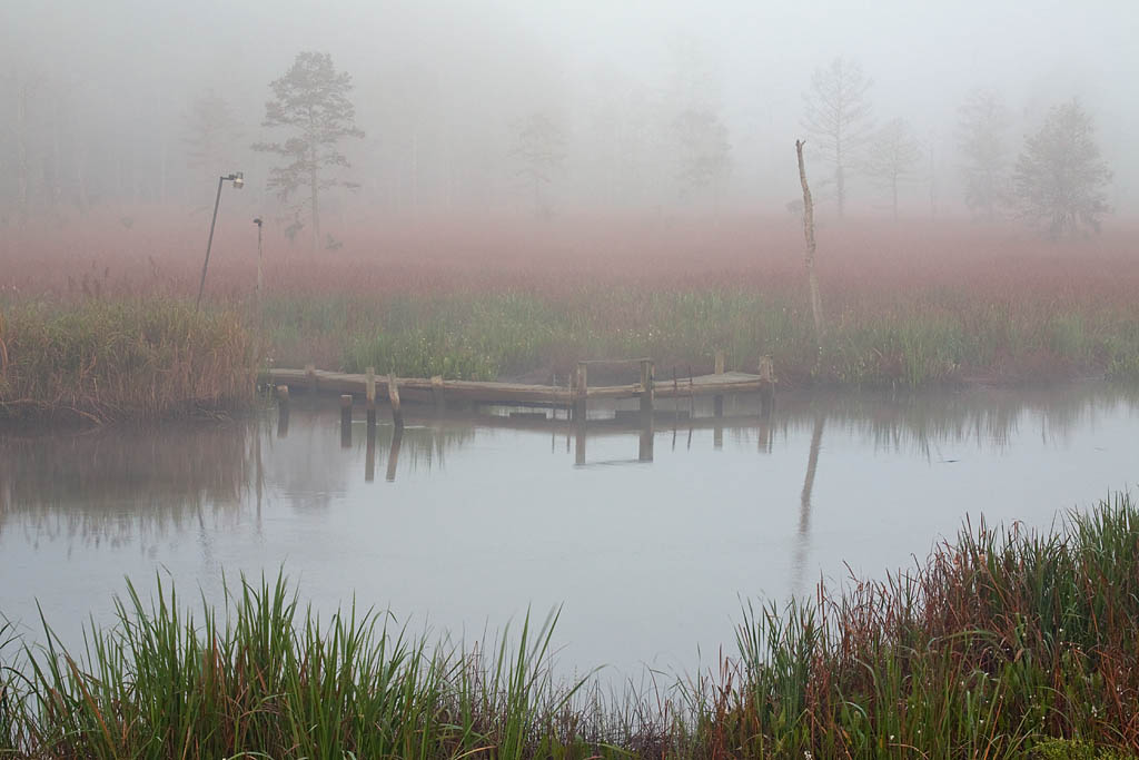
Small dock

Weathered & Scratched Rail

Sturgeon Creek

Fixed Truss Section

Cape Fear CSX RR Bridge

Cape Fear CSX RR Bridge
Topographic Map of Northwest Rd NE, Leland, NC, USA
Find elevation by address:

Places near Northwest Rd NE, Leland, NC, USA:
Northwest
Sandy Creek
Hickory Dr, Leland, NC, USA
119 Dogwood Cir
8601 Wanets Landing Rd Ne
State Rd, Delco, NC, USA
Pointe Bend Northeast
Northwest
2418 Compass Pointe South Wynd
Compass Pointe South Wynd
Compass Pointe South Wynd
Hammocks Cove Trail
2104 Compass Pointe South Wynd Northeast
35 Evergreen Church Rd, Delco, NC, USA
25923 Andrew Jackson Hwy E
8528 N Shoreside Way Ne
Delco
Hooper Rd NE, Leland, NC, USA
8399 Cassadine Court
9139 Green Loop Rd Ne
Recent Searches:
- Elevation of Leguwa, Nepal
- Elevation of County Rd, Enterprise, AL, USA
- Elevation of Kolchuginsky District, Vladimir Oblast, Russia
- Elevation of Shustino, Vladimir Oblast, Russia
- Elevation of Lampiasi St, Sarasota, FL, USA
- Elevation of Elwyn Dr, Roanoke Rapids, NC, USA
- Elevation of Congressional Dr, Stevensville, MD, USA
- Elevation of Bellview Rd, McLean, VA, USA
- Elevation of Stage Island Rd, Chatham, MA, USA
- Elevation of Shibuya Scramble Crossing, 21 Udagawacho, Shibuya City, Tokyo -, Japan