Elevation of SANDVIK, 92 Gyttorp, Sweden
Location: Sweden > Örebro County > Nora Sv >
Longitude: 14.7129026
Latitude: 59.4351378
Elevation: 181m / 594feet
Barometric Pressure: 99KPa
Elevation Map:
Satellite Map:
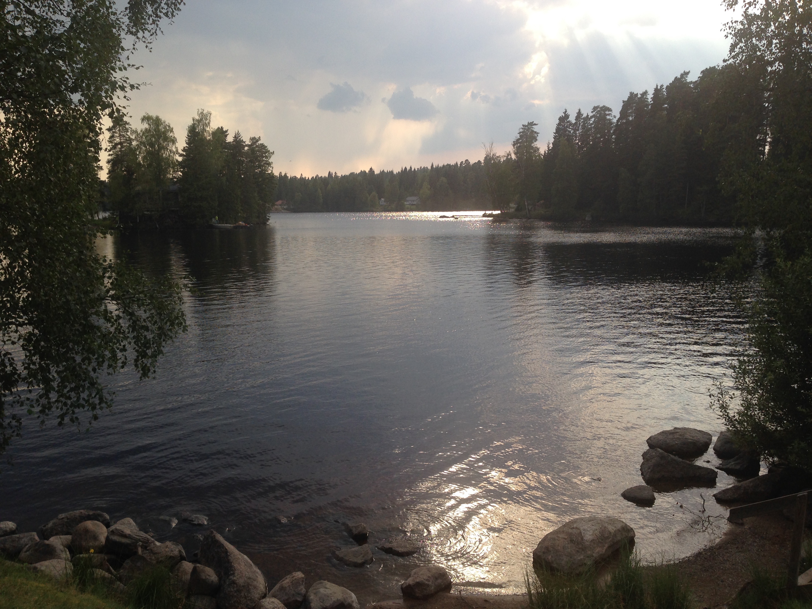
Related Photos:

Wait for the moment

the old path
Scan 15
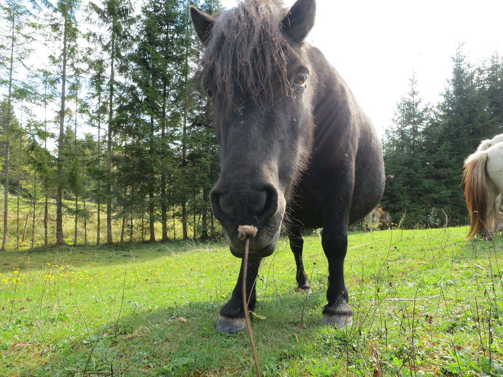
2014_09_07 Hästar i Vikersvik
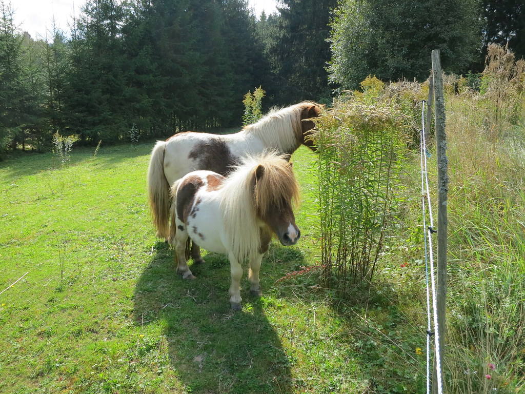
2014_09_07 Hästar i Vikersvik
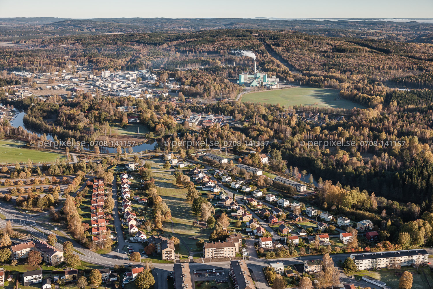
Karlskoga_151014-5972.jpg

Scan 15
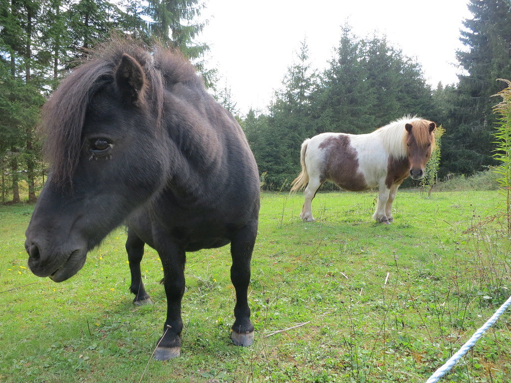
2014_09_07 Hästar i Vikersvik

Dalkarsberg (Kristi Himmelfärd 2010)_0082

On the peak of Tomasbodahöjden, in Närke. One more landscape accomplished In #rain and #hail #Peakofsweden #25topparisverige #Närke #norrona #peakofsweden

Bmw cup
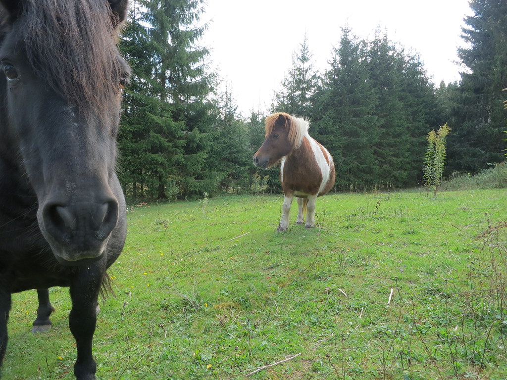
2014_09_07 Hästar i Vikersvik

Gamla Bofors. Numera Saab Dynamics. #karlskoga #hometown #sweden

Forgotten Images
Topographic Map of SANDVIK, 92 Gyttorp, Sweden
Find elevation by address:

Places near SANDVIK, 92 Gyttorp, Sweden:
BÄCKETORP, 92 Gyttorp, Sweden
Karlskoga Ö
Älvhyttan, 92 Gyttorp, Sweden
Rockesholm 19, 95 Grythyttan, Sweden
Älvhyttan
Granbergsdal, 92 Granbergsdal, Sweden
Rockesholm
Villingsberg Berget, 94 Karlskoga, Sweden
Karlskoga N
Villingsberg Östra Björntjärn, 94 Karlskoga, Sweden
Granbergsdal
Nora Sv
Kärvingeborn 39, 95 Grythyttan, Sweden
Kärvingeborn 49, 95 Grythyttan, Sweden
Valåsens Herrgärd, 94 Karlskoga, Sweden
Evavägen 8, 54 Karlskoga, Sweden
Backeberga Älgåsen, 92 Granbergsdal, Sweden
Valåsen
Hållsjöhyttan Bäcken, 91 Karlskoga, Sweden
Bråten-bofors
Recent Searches:
- Elevation of Shibuya Scramble Crossing, 21 Udagawacho, Shibuya City, Tokyo -, Japan
- Elevation of Jadagoniai, Kaunas District Municipality, Lithuania
- Elevation of Pagonija rock, Kranto 7-oji g. 8"N, Kaunas, Lithuania
- Elevation of Co Rd 87, Jamestown, CO, USA
- Elevation of Tenjo, Cundinamarca, Colombia
- Elevation of Côte-des-Neiges, Montreal, QC H4A 3J6, Canada
- Elevation of Bobcat Dr, Helena, MT, USA
- Elevation of Zu den Ihlowbergen, Althüttendorf, Germany
- Elevation of Badaber, Peshawar, Khyber Pakhtunkhwa, Pakistan
- Elevation of SE Heron Loop, Lincoln City, OR, USA