Elevation of Kärvingeborn 49, 95 Grythyttan, Sweden
Location: Sweden > Örebro County > Kärvingeborn >
Longitude: 14.6318568
Latitude: 59.5768307
Elevation: 215m / 705feet
Barometric Pressure: 99KPa
Elevation Map:
Satellite Map:
Related Photos:

Very little vegetation on top of the Brandelii Mine tailing.
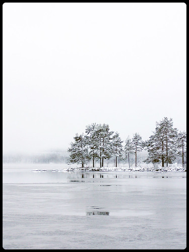
Winter in Sweden

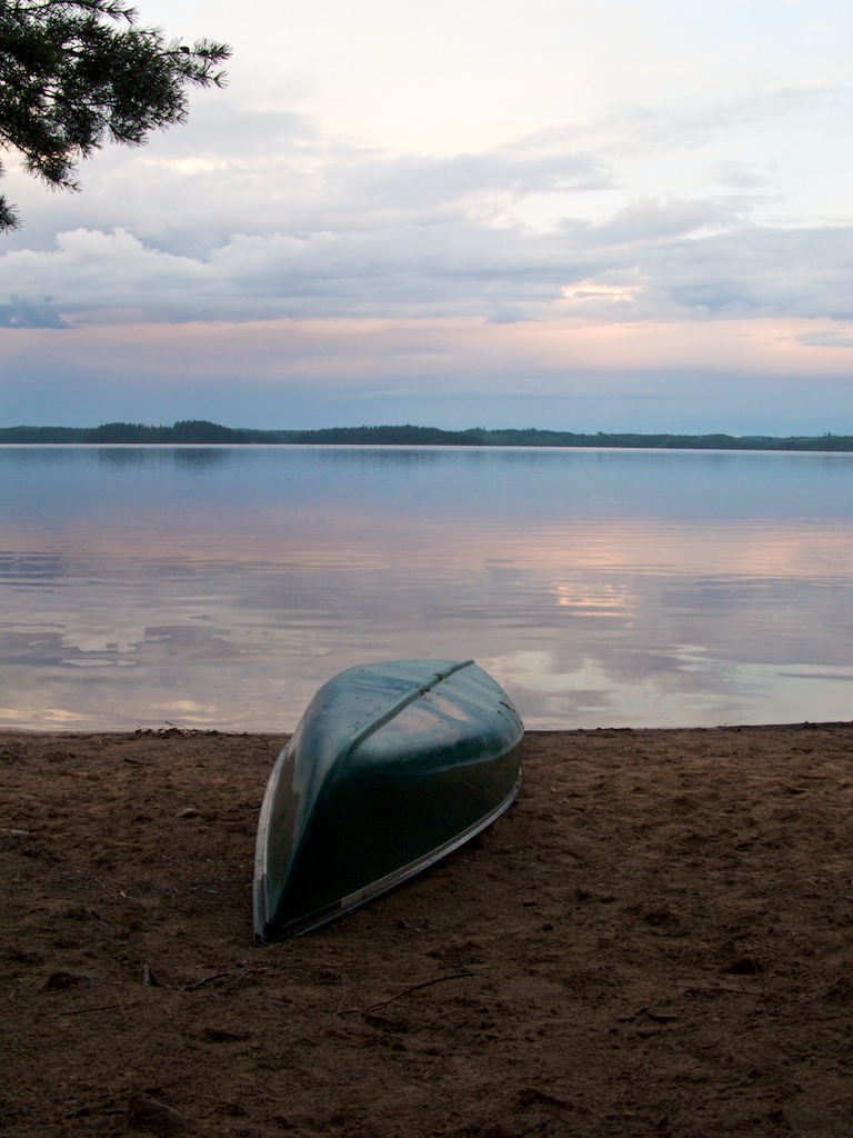
the old path

Forgotten Images

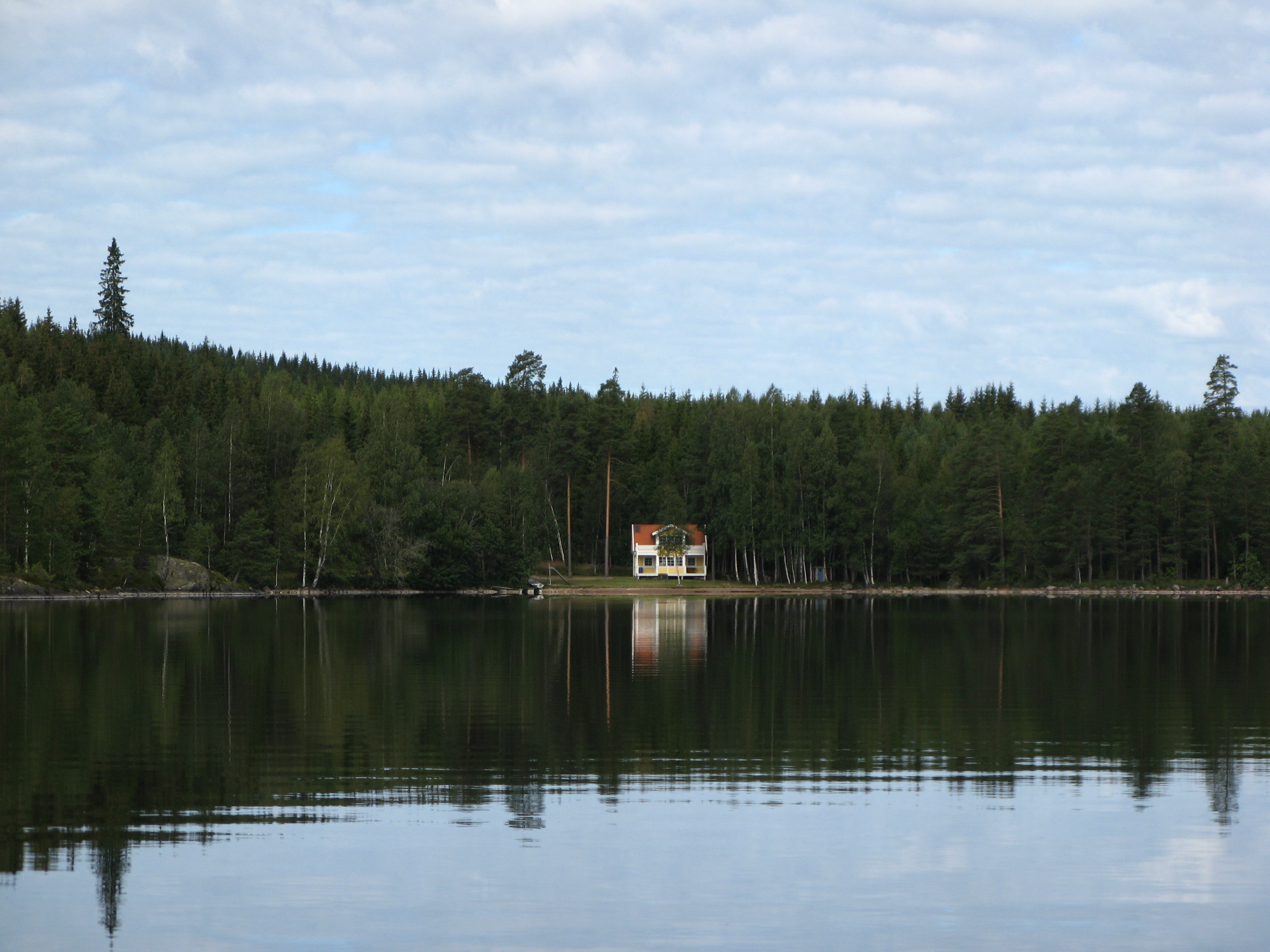
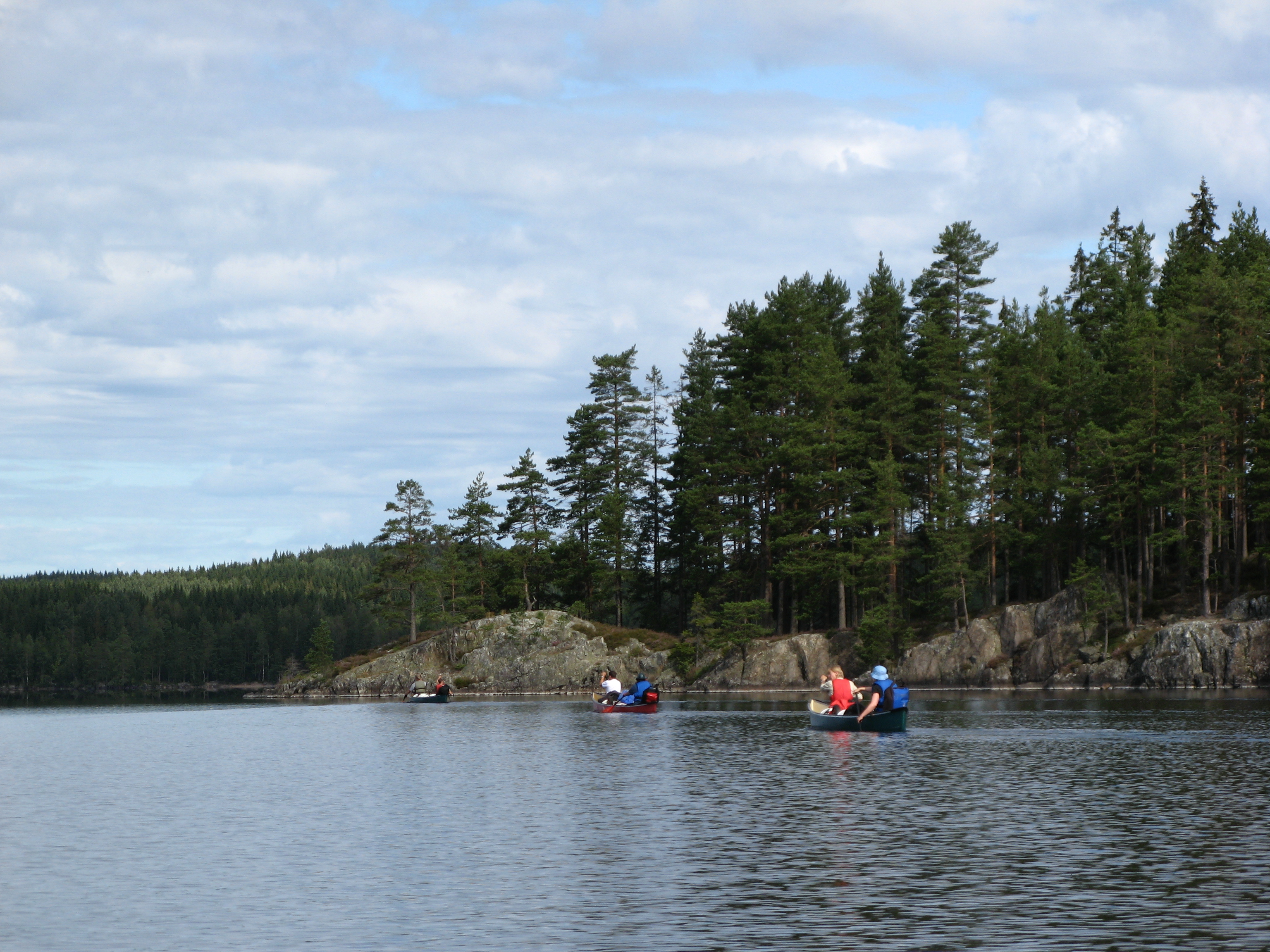
A "postcard" from sweden
IMG_9397.JPG
G9-IMG_0185
IMG_9377.JPG

IMG_9378.JPG

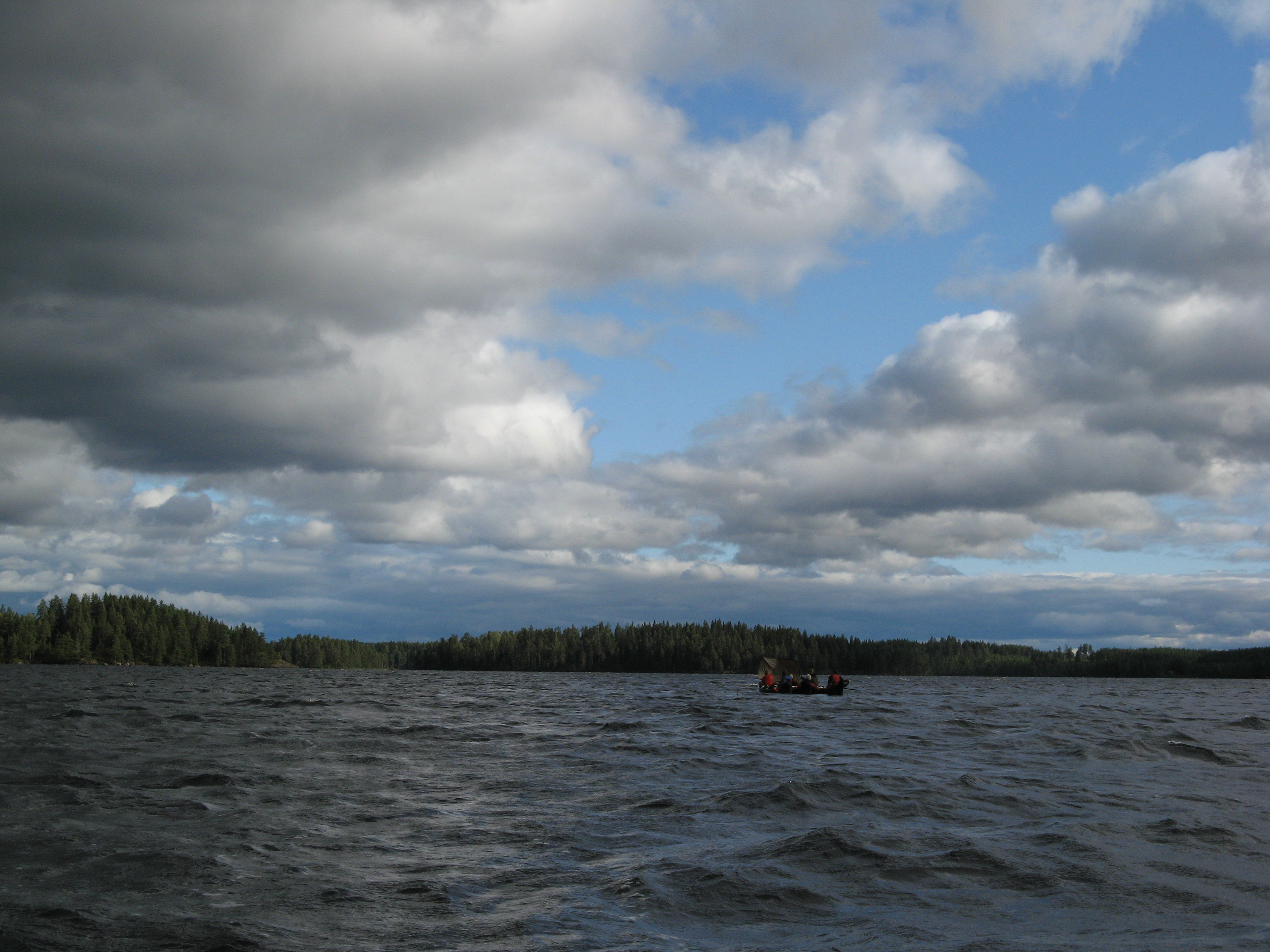
Forgotten Images
IMG_9391.JPG
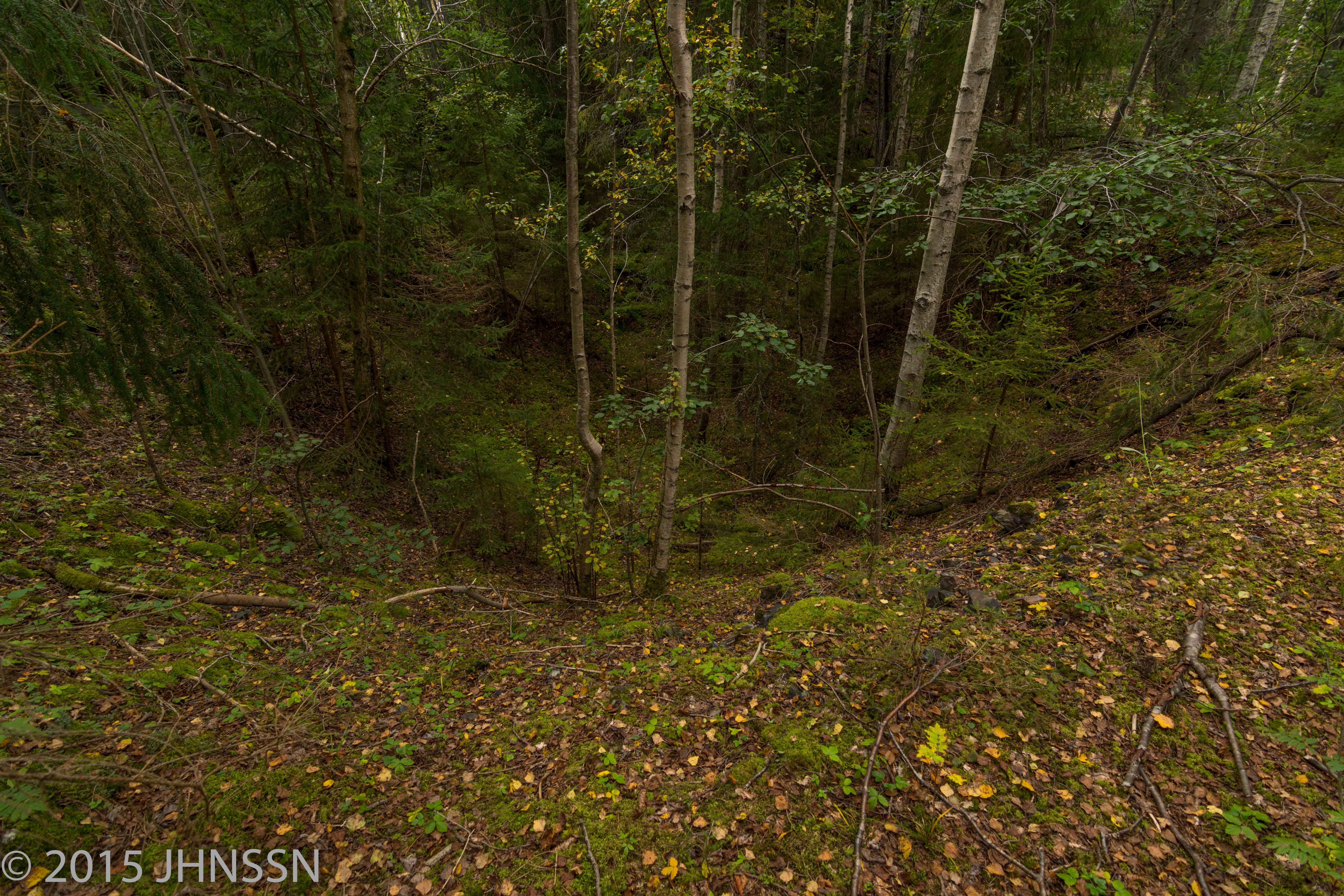
Brandelii Schakt, Timansberg
Topographic Map of Kärvingeborn 49, 95 Grythyttan, Sweden
Find elevation by address:

Places near Kärvingeborn 49, 95 Grythyttan, Sweden:
Rockesholm
Kärvingeborn 39, 95 Grythyttan, Sweden
Kärvingeborn
Rockesholm 19, 95 Grythyttan, Sweden
Limmingen
Hällefors V
Limmingen 27, 95 Grythyttan, Sweden
Hållsjöhyttan Bäcken, 91 Karlskoga, Sweden
Granbergsdal, 92 Granbergsdal, Sweden
Hällefors
SANDVIK, 92 Gyttorp, Sweden
SKATVIKEN 3, 94 Grythyttan, Sweden
Karlskoga N
BÄCKETORP, 92 Gyttorp, Sweden
Kedjeåsen Haga, 91 Karlskoga, Sweden
Granbergsdal
Källmo, 91 Karlskoga, Sweden
Älvhyttan, 92 Gyttorp, Sweden
Backeberga Älgåsen, 92 Granbergsdal, Sweden
Källmo
Recent Searches:
- Elevation of 6 Rue Jules Ferry, Beausoleil, France
- Elevation of Sattva Horizon, 4JC6+G9P, Vinayak Nagar, Kattigenahalli, Bengaluru, Karnataka, India
- Elevation of Great Brook Sports, Gold Star Hwy, Groton, CT, USA
- Elevation of 10 Mountain Laurels Dr, Nashua, NH, USA
- Elevation of 16 Gilboa Ln, Nashua, NH, USA
- Elevation of Laurel Rd, Townsend, TN, USA
- Elevation of 3 Nestling Wood Dr, Long Valley, NJ, USA
- Elevation of Ilungu, Tanzania
- Elevation of Yellow Springs Road, Yellow Springs Rd, Chester Springs, PA, USA
- Elevation of Rēzekne Municipality, Latvia