Elevation of Sandstone Dr, Camilla, GA, USA
Location: United States > Georgia > Mitchell County > Camilla >
Longitude: -84.340001
Latitude: 31.3035033
Elevation: 44m / 144feet
Barometric Pressure: 101KPa
Elevation Map:
Satellite Map:
Related Photos:

Blue hole, Walton Spring.

Black-bellied Whistling Duck

Black-bellied Whistling Duck

McRainey House, April 3, 2011

McRee Hall Bed & Breakfast
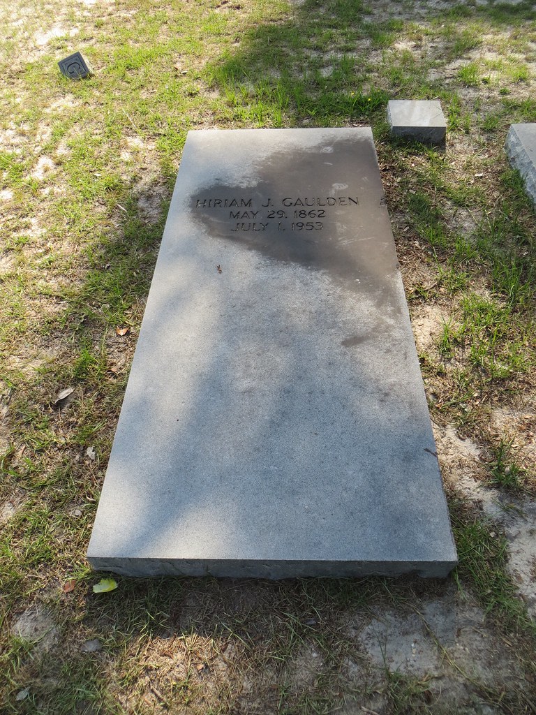
Hiriam J Gaulden Gravestone Camilla GA

Slash Pine Trees

Wet-Weather Pond

U.S. Route 19 roadside park, Mitchell County 5

Wet-Weather Pond

Wet-Weather Pond

Wet-Weather Pond
Topographic Map of Sandstone Dr, Camilla, GA, USA
Find elevation by address:

Places near Sandstone Dr, Camilla, GA, USA:
Newton
3711 Flats Rd
Camilla
Camilla
Camilla
Camilla
Camilla
Camilla
Camilla
Camilla
Camilla
Camilla
Camilla
Camilla
Camilla
Camilla
Camilla
Camilla
Camilla
Camilla
Recent Searches:
- Elevation of Bydgoszcz, Poland
- Elevation of Bydgoszcz, Poland
- Elevation of Calais Dr, Del Mar, CA, USA
- Elevation of Placer Mine Ln, West Jordan, UT, USA
- Elevation of E 63rd St, New York, NY, USA
- Elevation of Elk City, OK, USA
- Elevation of Erika Dr, Windsor, CA, USA
- Elevation of Village Ln, Finleyville, PA, USA
- Elevation of 24 Oakland Rd #, Scotland, ON N0E 1R0, Canada
- Elevation of Deep Gap Farm Rd E, Mill Spring, NC, USA