Elevation of San Jose de Torcoroma, Cúcuta, Norte de Santander, Colombia
Location: Colombia > North Santander > Cucuta > Cúcuta >
Longitude: -72.475371
Latitude: 7.8948938
Elevation: 362m / 1188feet
Barometric Pressure: 97KPa
Elevation Map:
Satellite Map:
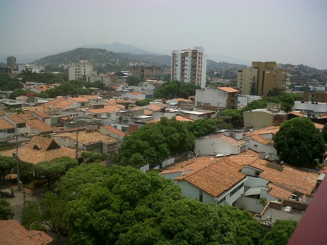
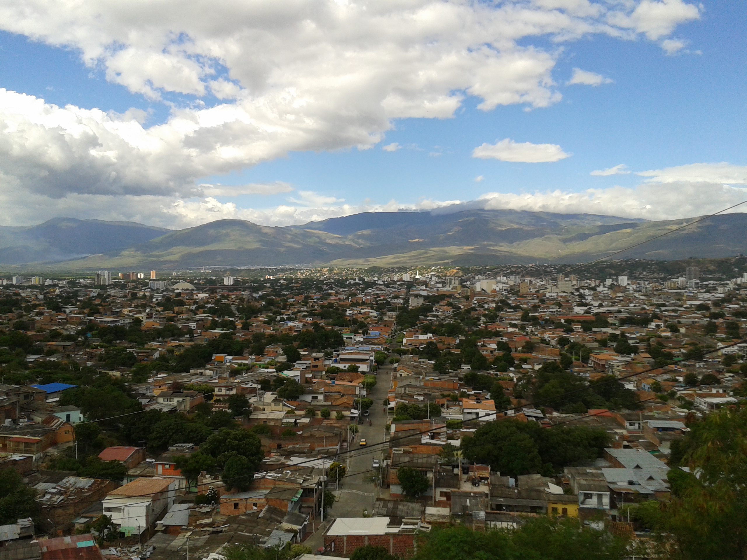
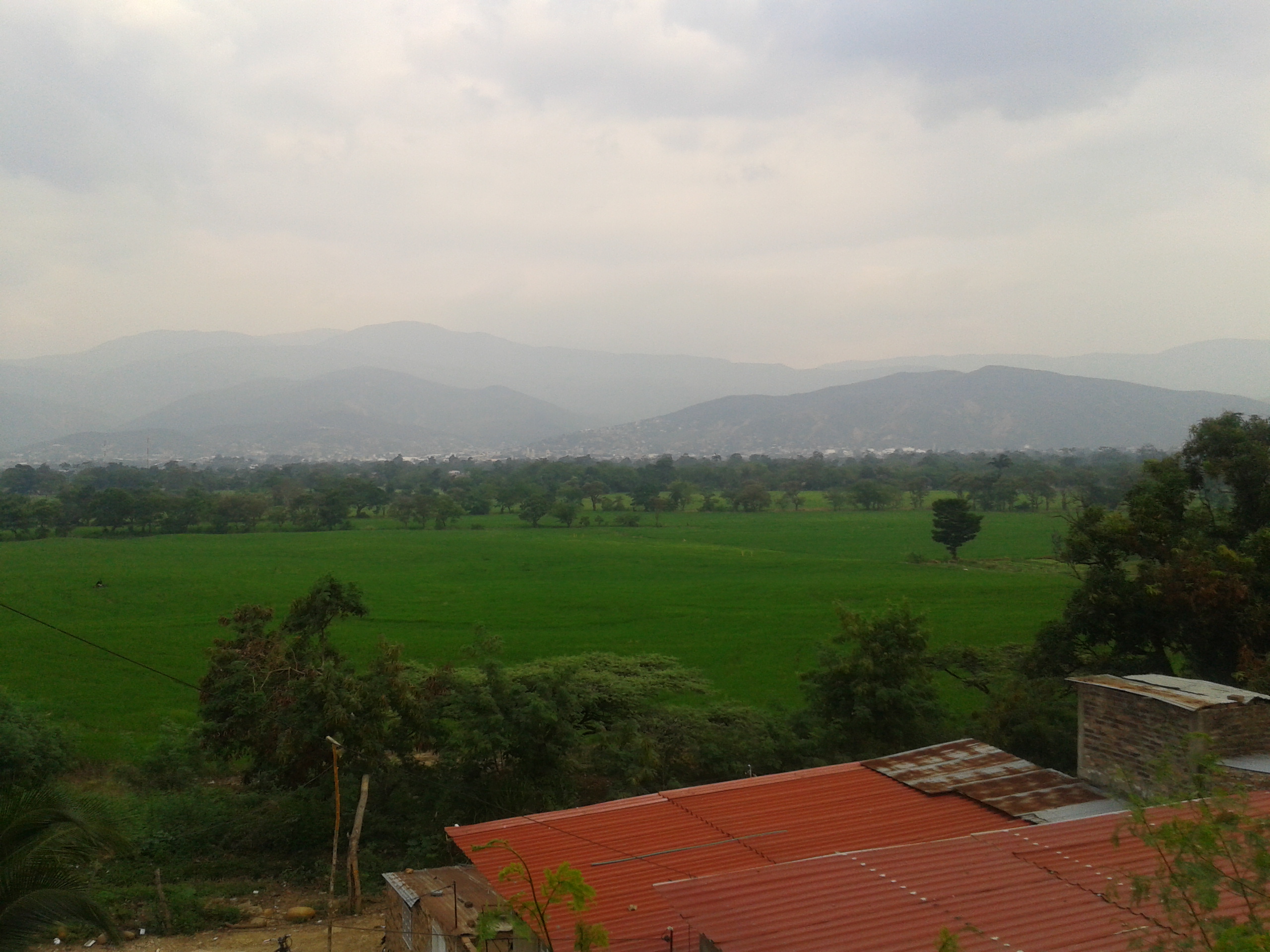
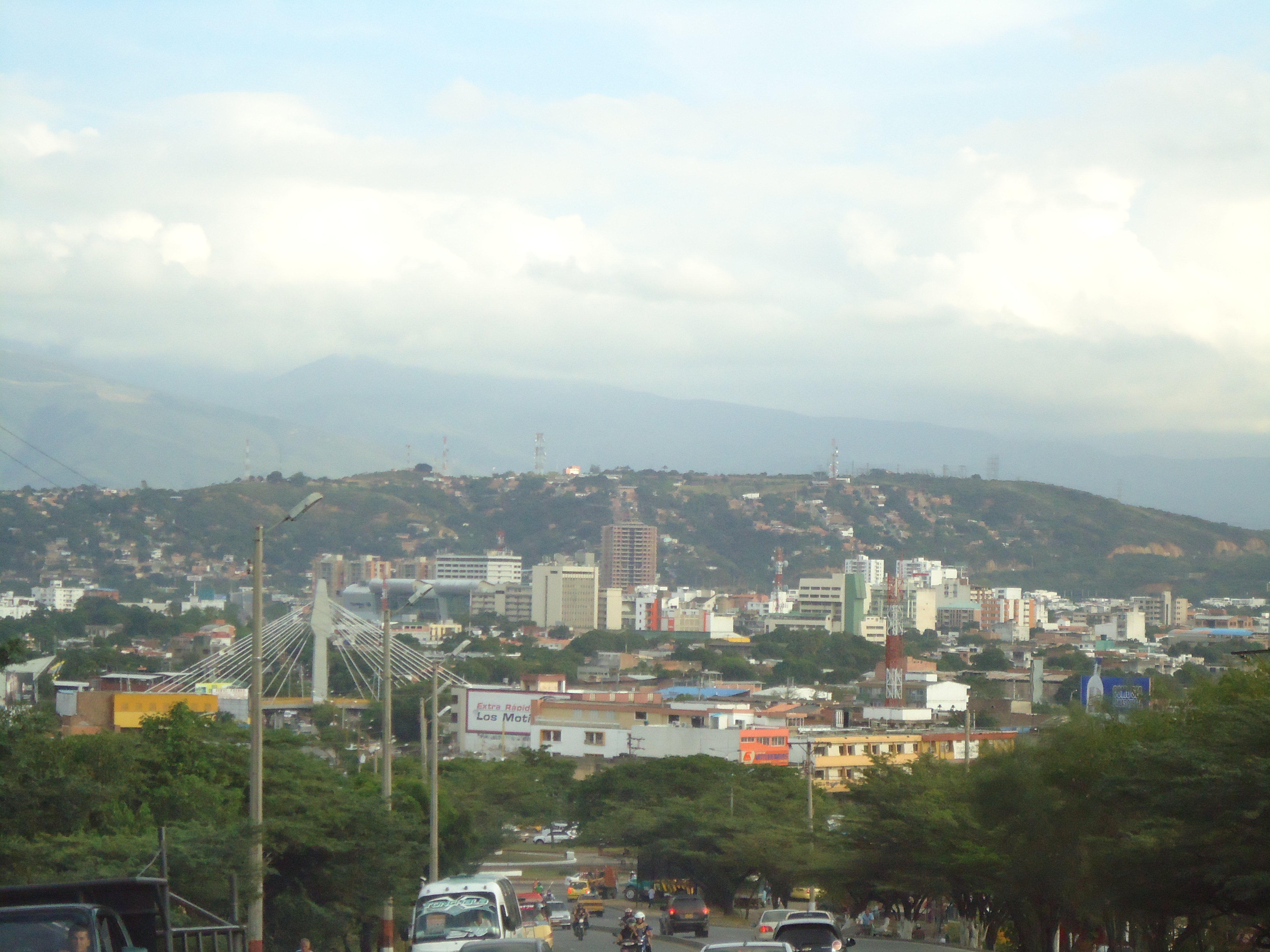
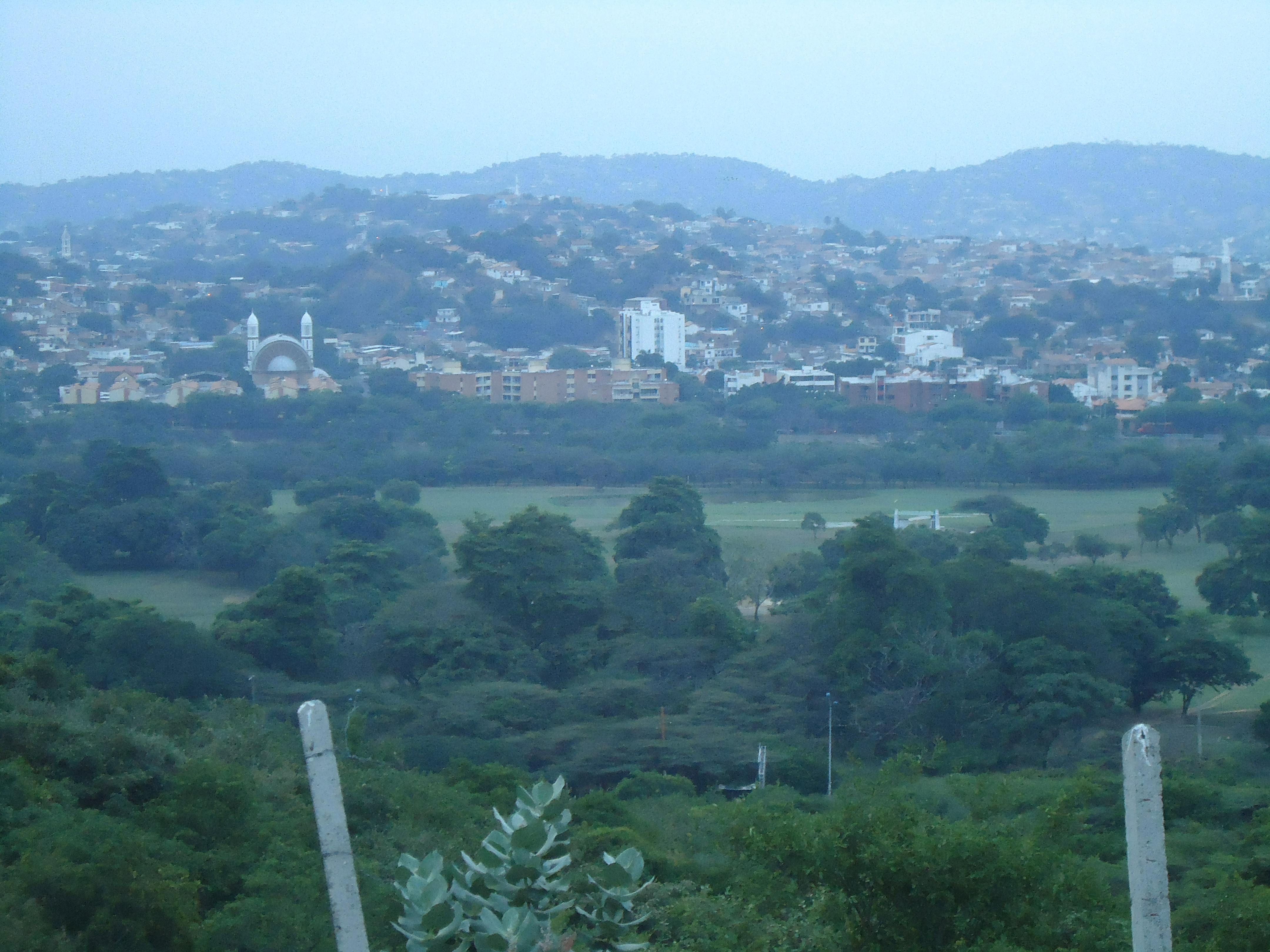
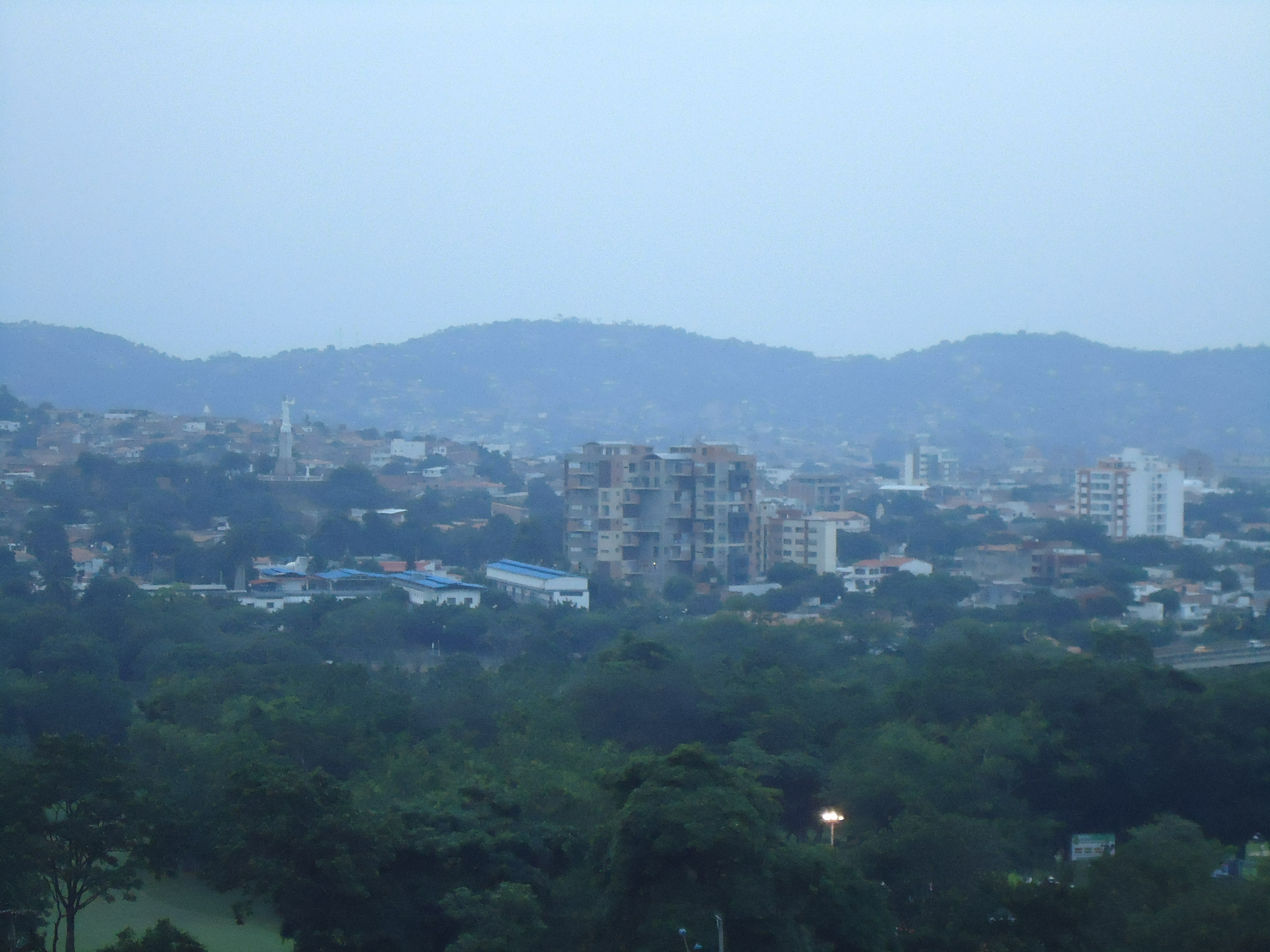
Related Photos:
Comedor Madre del Migrante_15

43 : mi vecino al despertar
Comedor Madre del Migrante_16

Firedancer in the sky
Frontera Venezuela - Colombia -#nanjing2014

SECTOR SENDEROS DE PAZ - VILLA DEL ROSARIO.
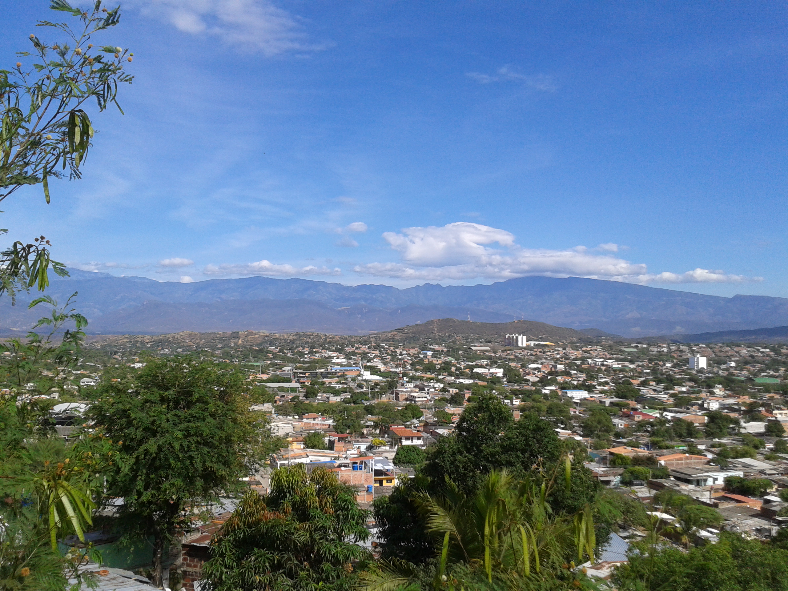
PANORAMICA TOMADA DESDE EL BARRIO LOS ALPES
PANORAMICA TOMADA DESDE EL BARRIO LOS ALPES
PANORAMICA TOMADA DESDE EL BARRIO LA VICTORIA PARTE ALTA (ATALAYA)
SECTOR SENDEROS DE PAZ - VILLA DEL ROSARIO.

VIA A JUAN ATALAYA - CUCUTA, COLOMBIA.
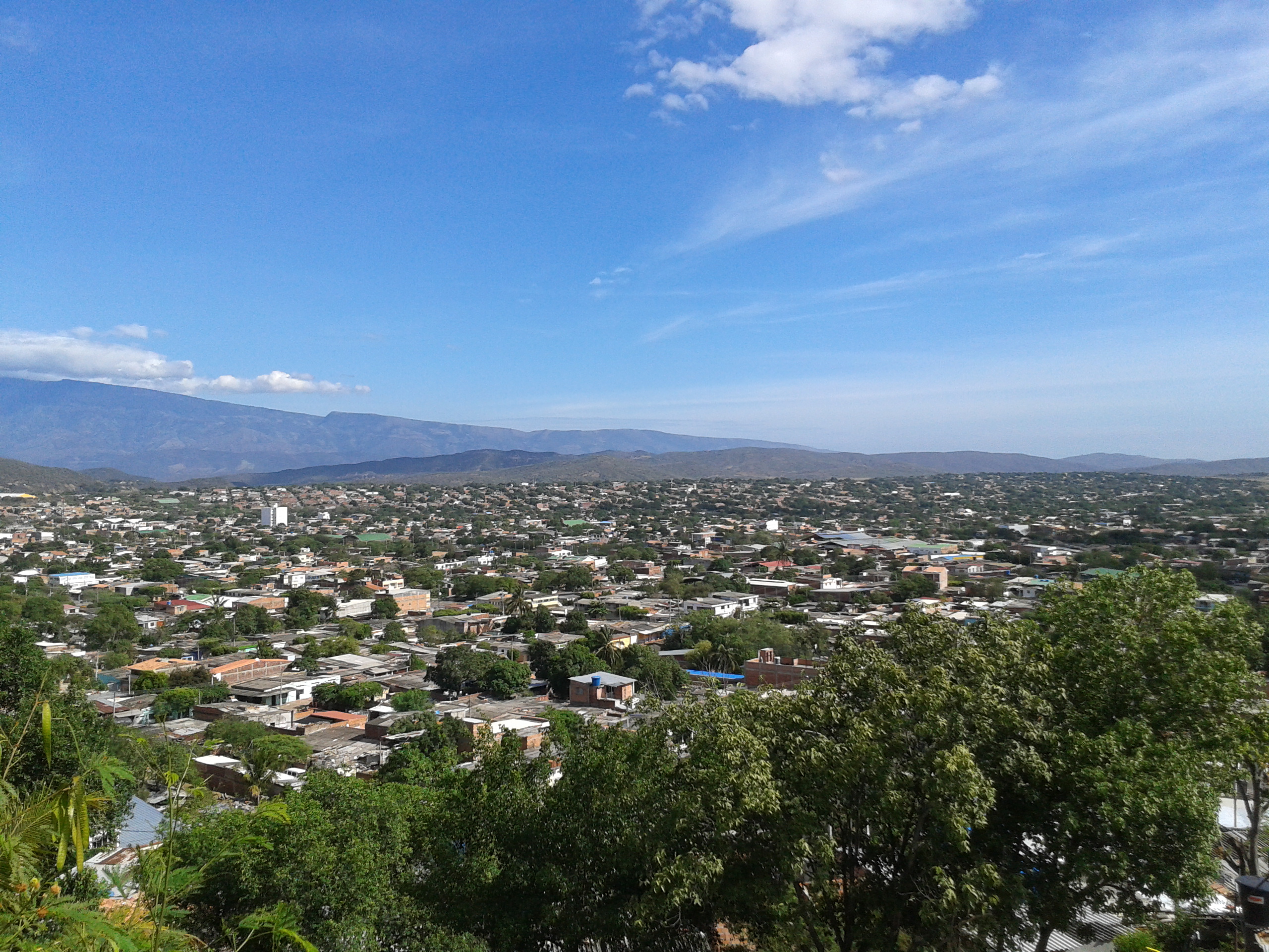
PANORAMICA TOMADA DESDE EL BARRIO LA VICTORIA PARTE ALTA (ATALAYA)
BARRIO LA RIVIERA - CUCUTA, COLOMBIA.
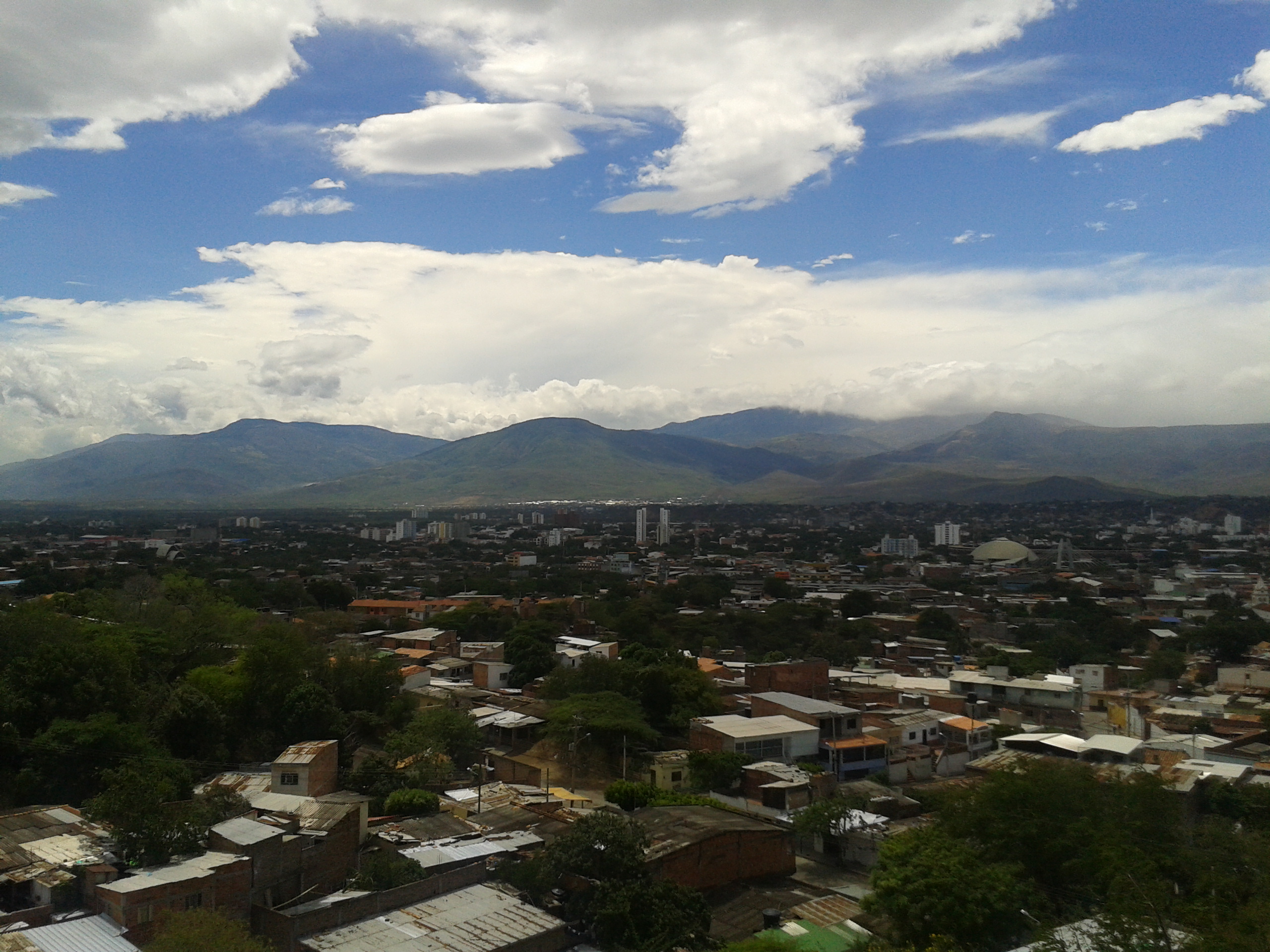
CUCUTA CITY - COLOMBIA
SECTOR SENDEROS DE PAZ - VILLA DEL ROSARIO.

2014-03-20 11.28.24
VIA A JUAN ATALAYA - CUCUTA, COLOMBIA.
CLUB TENIS - CUCUTA, COLOMBIA.

BARRIO SAN LUIS - CUCUTA, COLOMBIA.
SECTOR DEL CLUB TENIS - CUCUTA, COLOMBIA.

VIA AL CLUB TENIS - CUCUTA, COLOMBIA.
Topographic Map of San Jose de Torcoroma, Cúcuta, Norte de Santander, Colombia
Find elevation by address:

Places near San Jose de Torcoroma, Cúcuta, Norte de Santander, Colombia:
12-63
Barrio San Martin
Cúcuta
Cucuta
9-79
Barrio Sanmiguel
El Zulia
Michelena
San Cristobal
San Cristobal
Táchira
North Santander
Pamplona
Pamplona
Berlin
Refugio Piedra Parada
Tona
Bucaramanga
Recent Searches:
- Elevation of Congressional Dr, Stevensville, MD, USA
- Elevation of Bellview Rd, McLean, VA, USA
- Elevation of Stage Island Rd, Chatham, MA, USA
- Elevation of Shibuya Scramble Crossing, 21 Udagawacho, Shibuya City, Tokyo -, Japan
- Elevation of Jadagoniai, Kaunas District Municipality, Lithuania
- Elevation of Pagonija rock, Kranto 7-oji g. 8"N, Kaunas, Lithuania
- Elevation of Co Rd 87, Jamestown, CO, USA
- Elevation of Tenjo, Cundinamarca, Colombia
- Elevation of Côte-des-Neiges, Montreal, QC H4A 3J6, Canada
- Elevation of Bobcat Dr, Helena, MT, USA