Elevation of Av. 15 #9-79, Cúcuta, Norte de Santander, Colombia
Location: Colombia > North Santander > Cucuta > Barrio Sanmiguel >
Longitude: -72.514149
Latitude: 7.8852506
Elevation: 315m / 1033feet
Barometric Pressure: 98KPa
Elevation Map:
Satellite Map:
Related Photos:
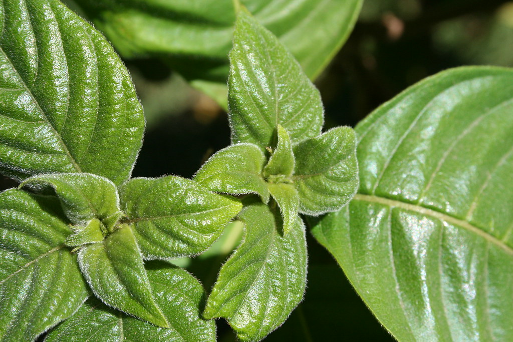
Solo hojas

43 : mi vecino al despertar
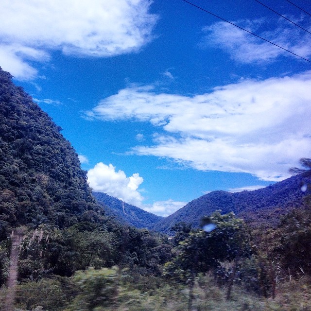
Frontera Venezuela - Colombia -#nanjing2014

Firedancer in the sky
2014-10-16 06.35.57

SECTOR SENDEROS DE PAZ - VILLA DEL ROSARIO.
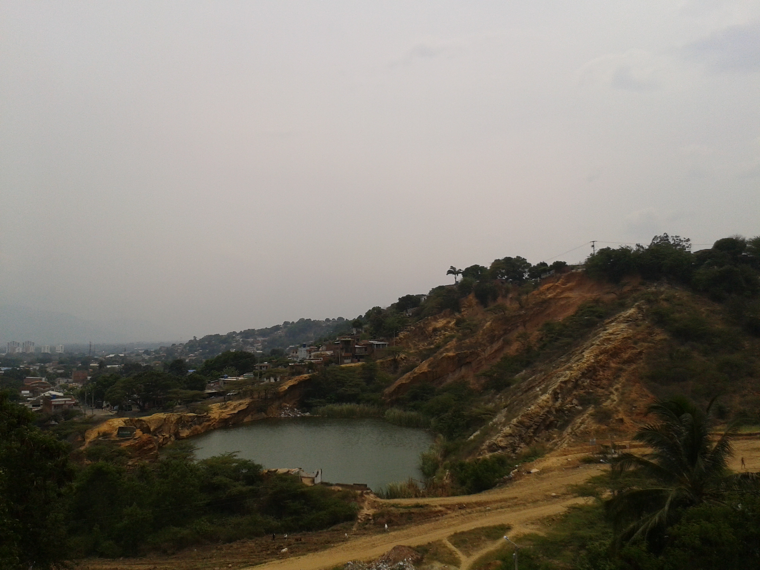
LAGUNA - SAN LUIS

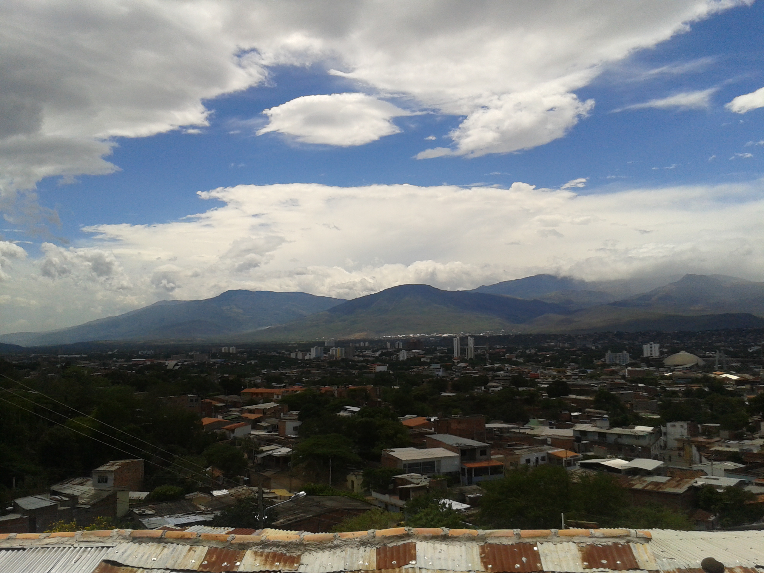
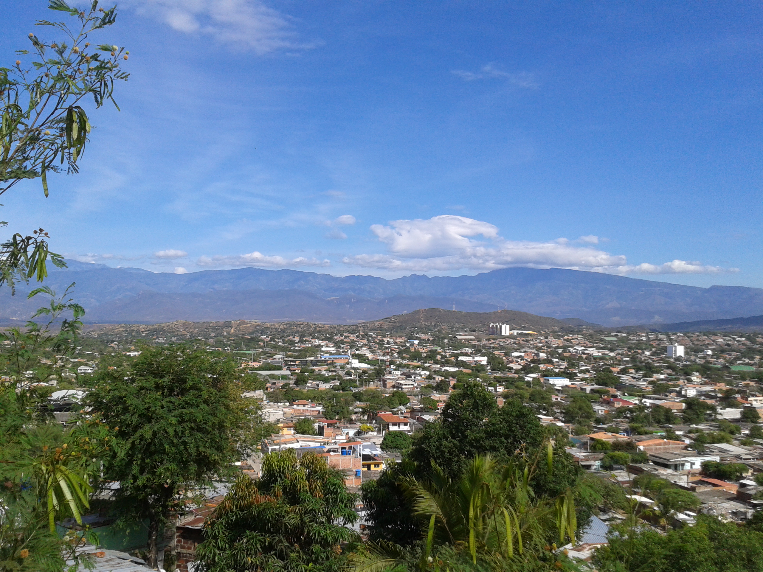
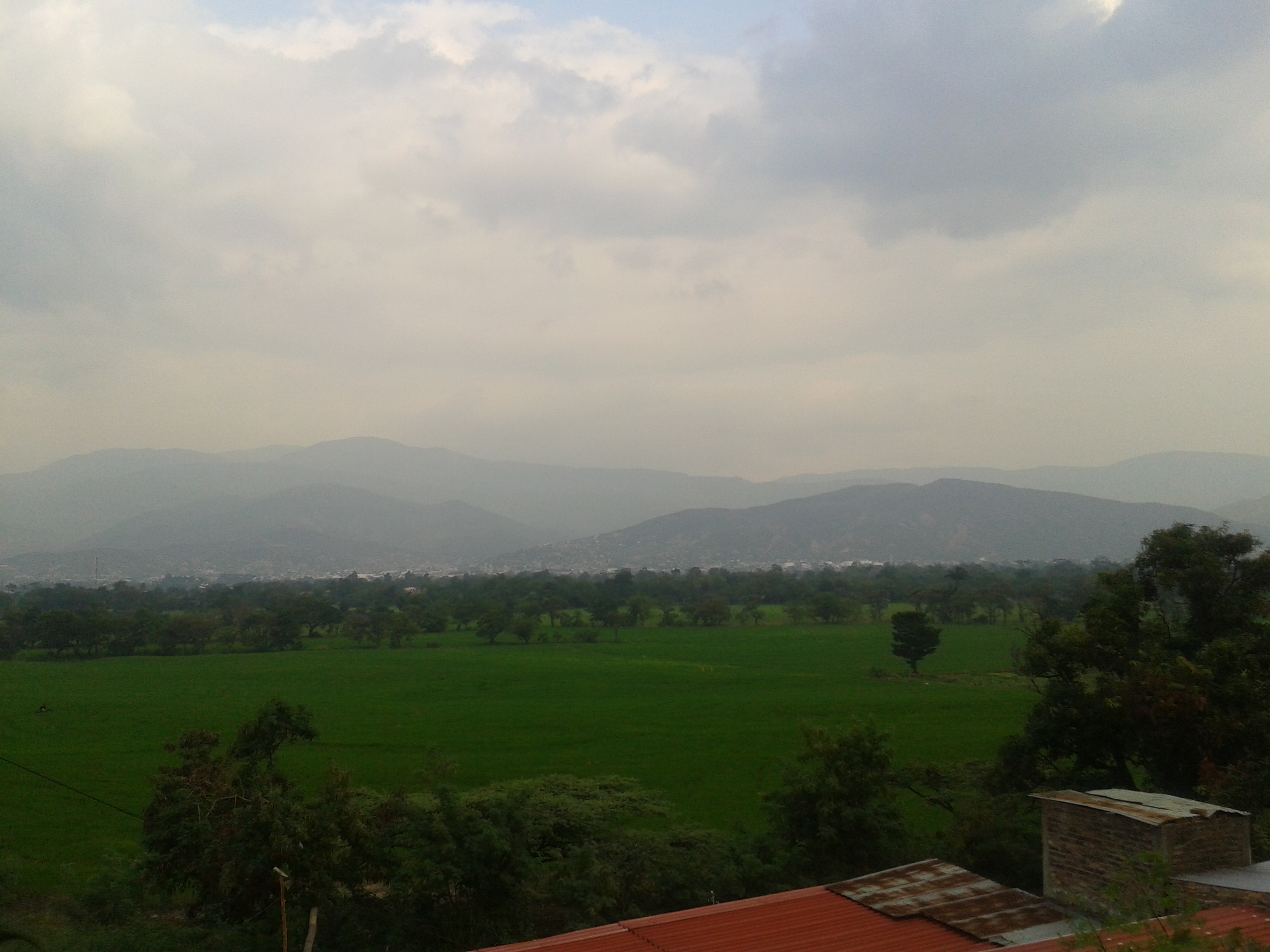
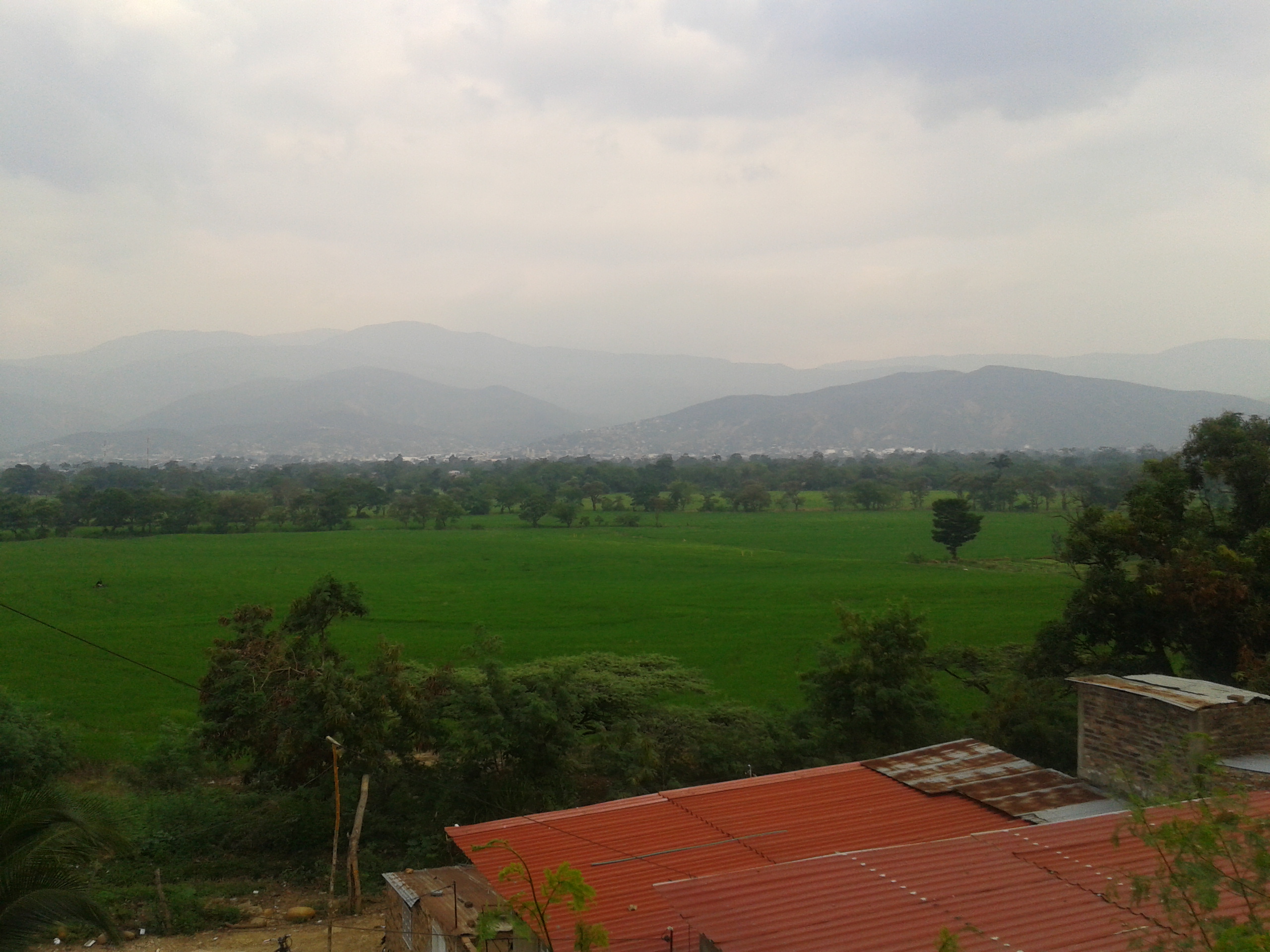
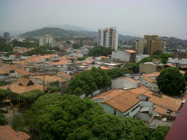
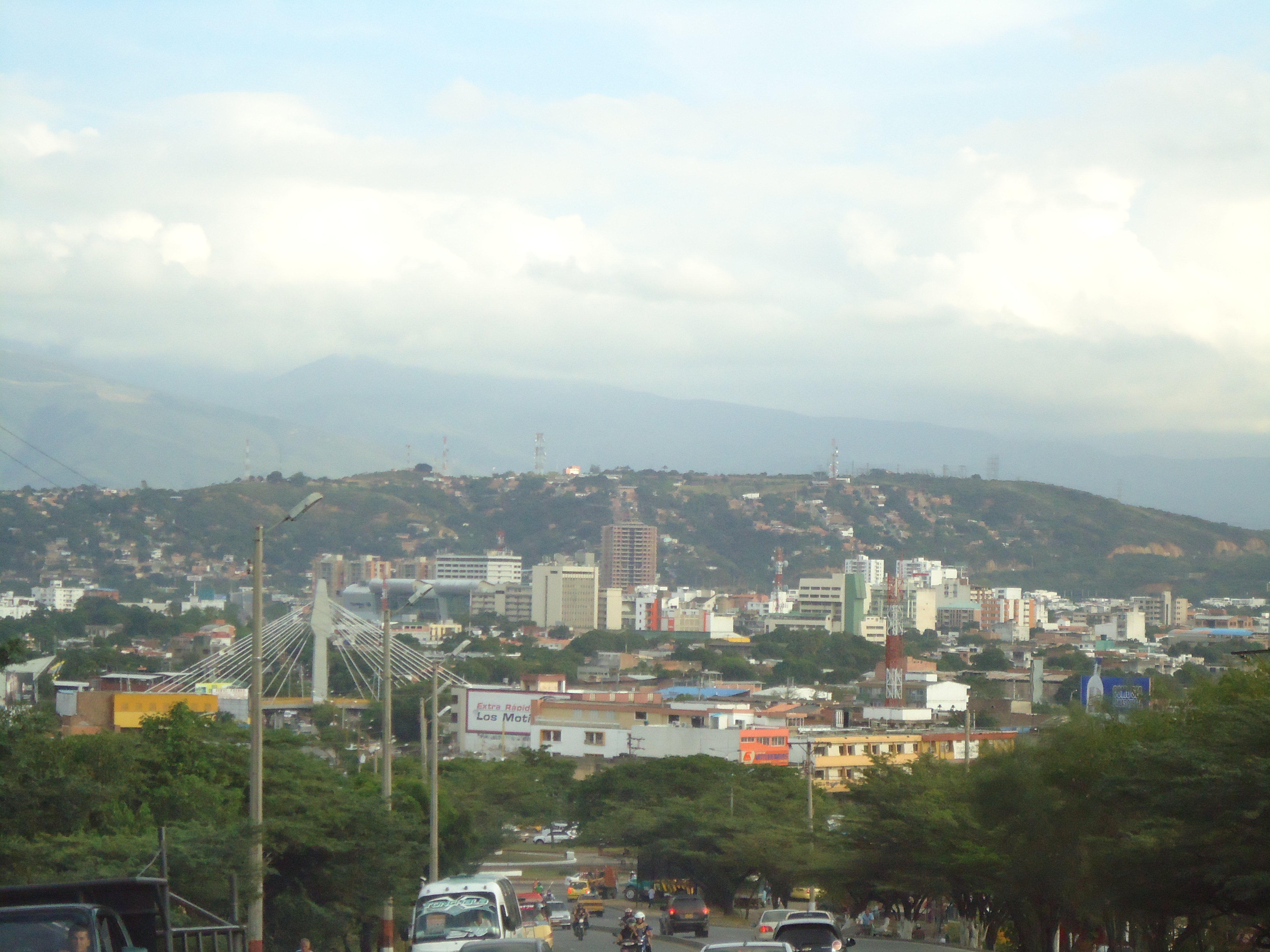
CUCUTA CITY - COLOMBIA.
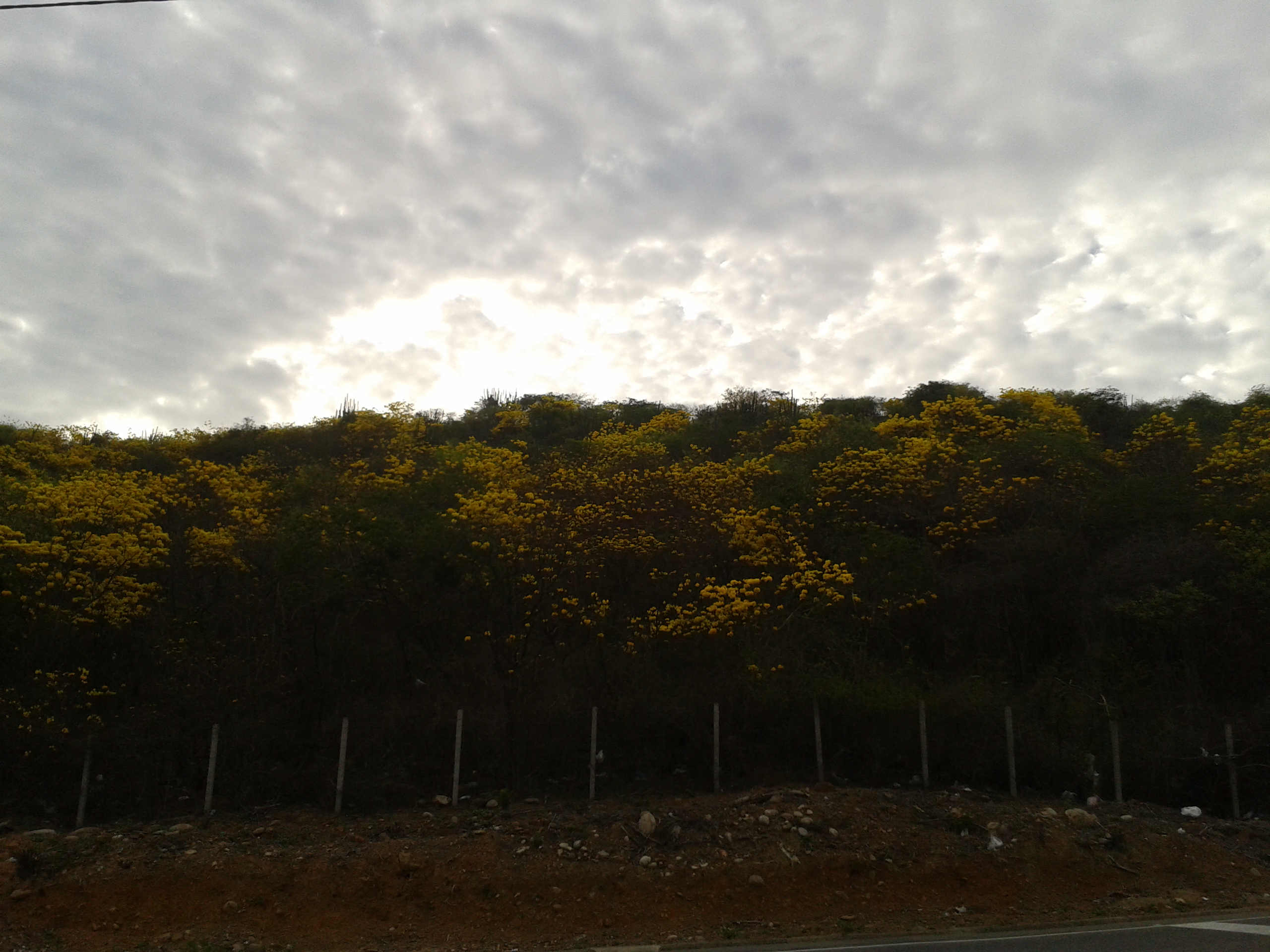
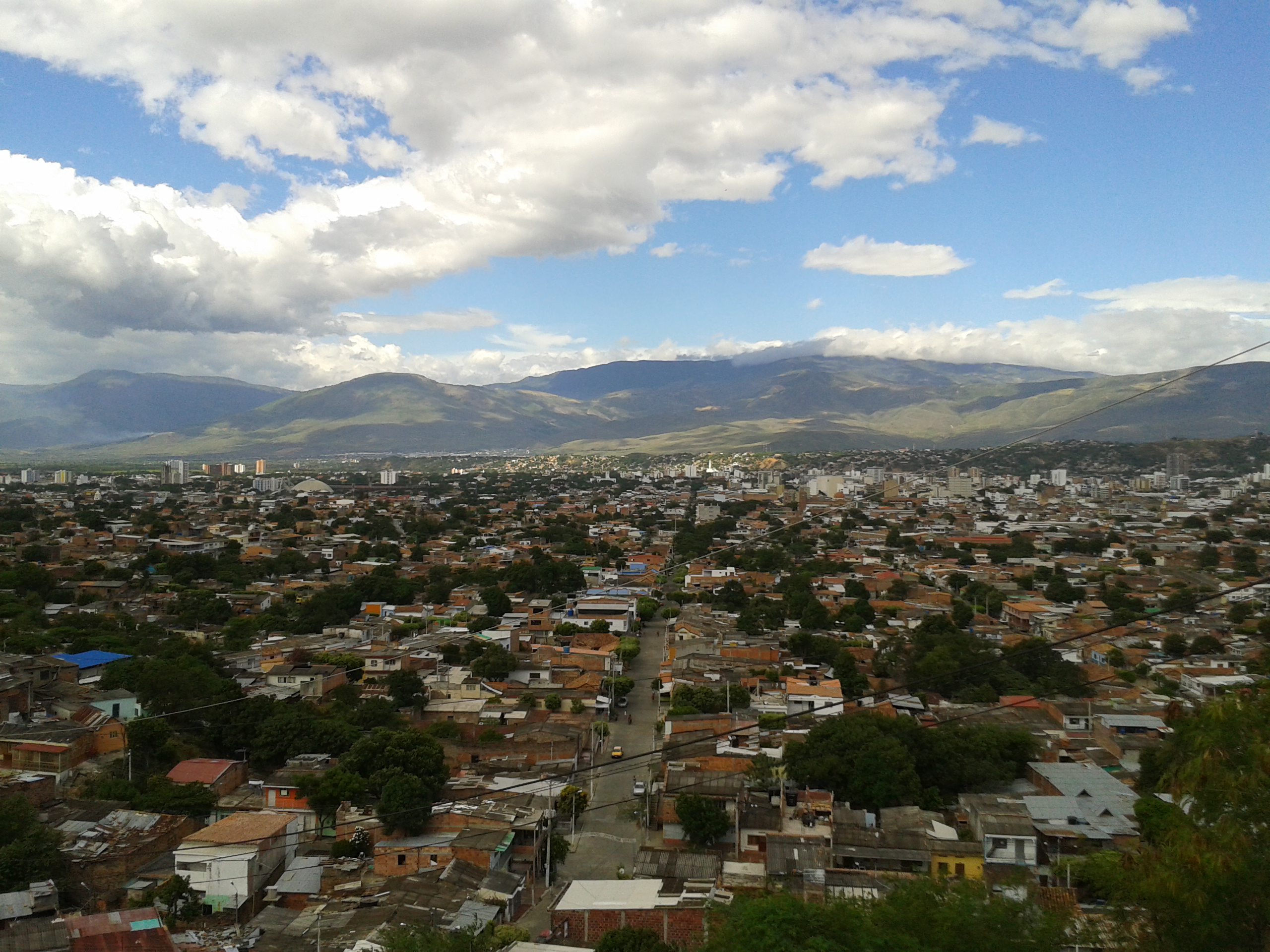
PANORAMICA TOMADA DESDE EL BARRIO LOS ALPES
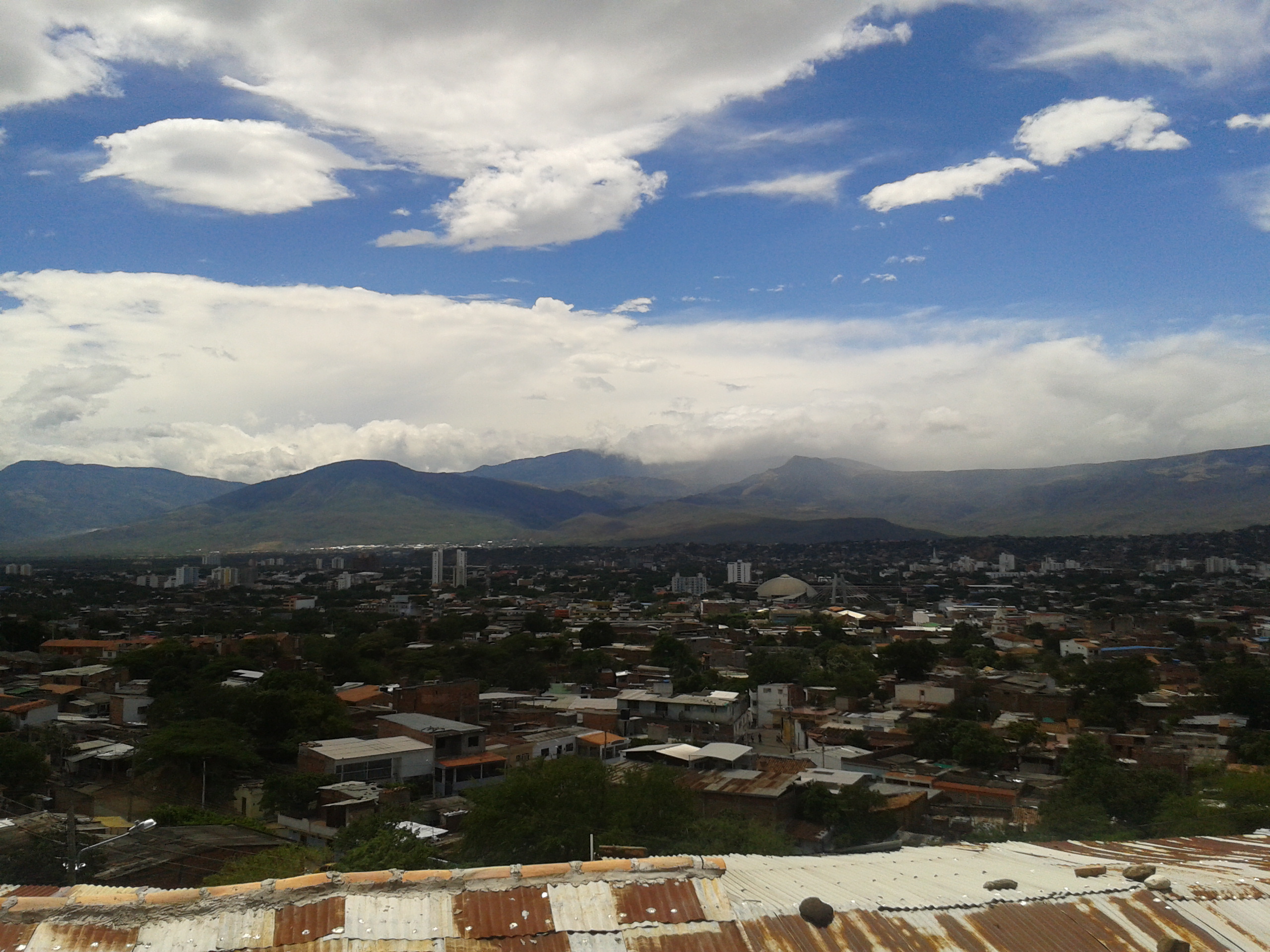
PANORAMICA TOMADA DESDE EL BARRIO LOS ALPES
PANORAMICA TOMADA DESDE EL BARRIO LOS ALPES
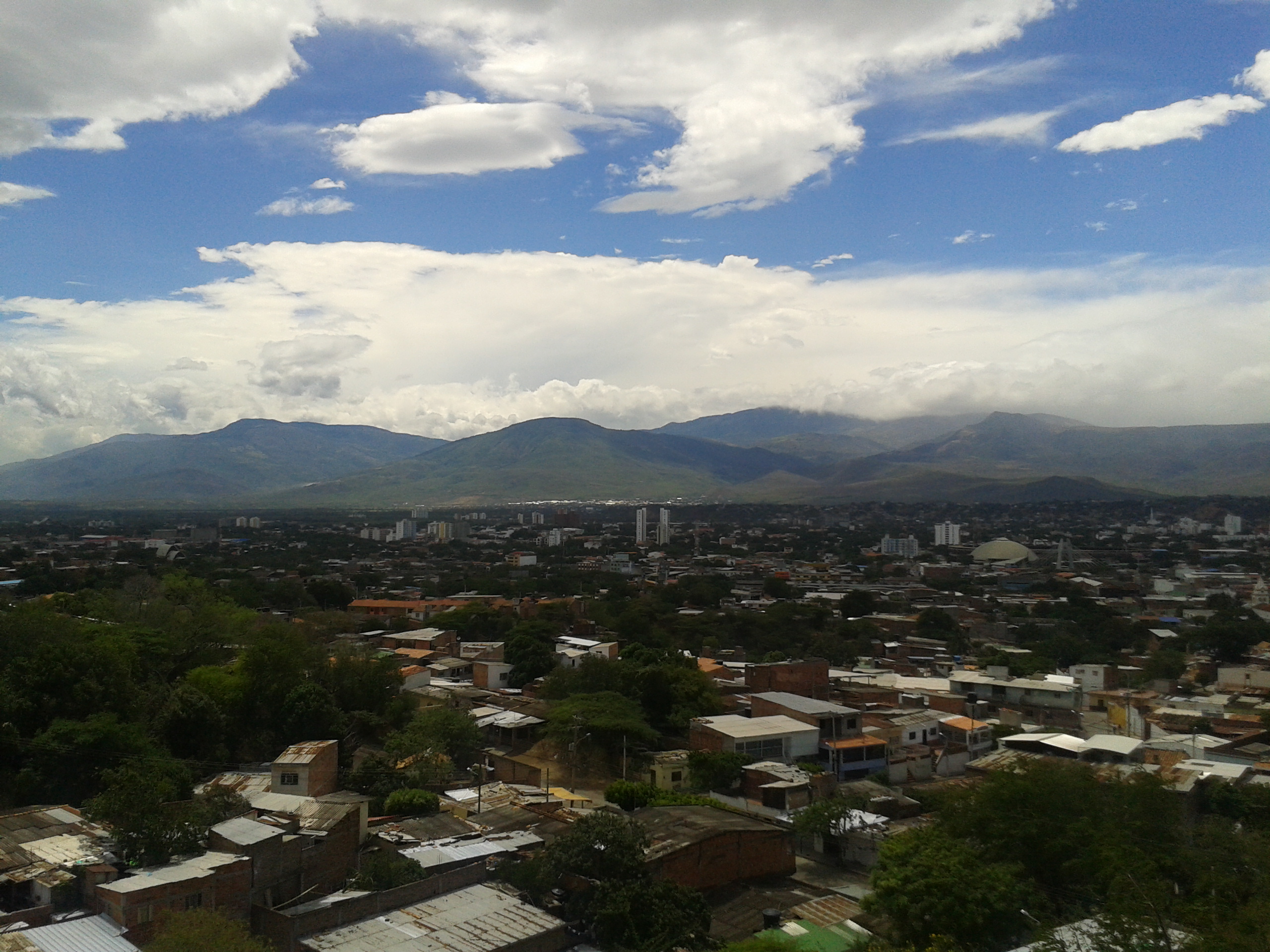
PANORAMICA TOMADA DESDE EL BARRIO LA VICTORIA PARTE ALTA (ATALAYA)
PANORAMICA TOMADA DESDE EL BARRIO LA VICTORIA PARTE ALTA (ATALAYA)
SECTOR SENDEROS DE PAZ - VILLA DEL ROSARIO.

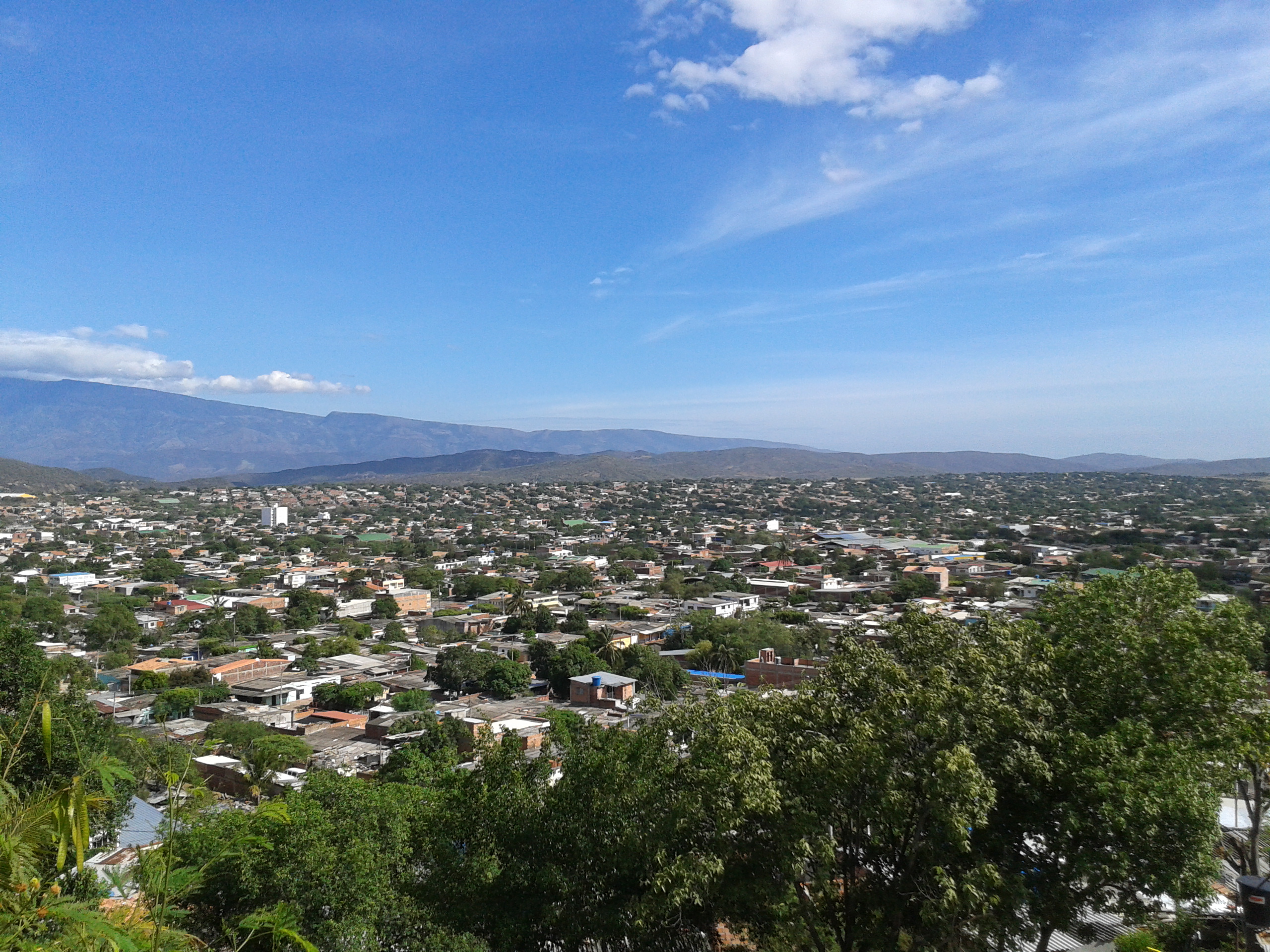
VIA A JUAN ATALAYA - CUCUTA, COLOMBIA.
CUCUTA CITY - COLOMBIA
SECTOR SENDEROS DE PAZ - VILLA DEL ROSARIO.
BARRIO LA RIVIERA - CUCUTA, COLOMBIA.

2014-03-20 11.28.24

SECTOR LAS CUMBRES (BARRIO DANIEL JORDAN)
VIA A JUAN ATALAYA - CUCUTA, COLOMBIA.
Topographic Map of Av. 15 #9-79, Cúcuta, Norte de Santander, Colombia
Find elevation by address:

Places near Av. 15 #9-79, Cúcuta, Norte de Santander, Colombia:
Barrio Sanmiguel
Cucuta
Cúcuta
San Jose De Torcoroma
Barrio San Martin
12-63
El Zulia
Michelena
San Cristobal
San Cristobal
Táchira
North Santander
Pamplona
Pamplona
Berlin
Refugio Piedra Parada
Tona
Bucaramanga
Recent Searches:
- Elevation of Unnamed Road, Respublika Severnaya Osetiya — Alaniya, Russia
- Elevation of Verkhny Fiagdon, North Ossetia–Alania Republic, Russia
- Elevation of F. Viola Hiway, San Rafael, Bulacan, Philippines
- Elevation of Herbage Dr, Gulfport, MS, USA
- Elevation of Lilac Cir, Haldimand, ON N3W 2G9, Canada
- Elevation of Harrod Branch Road, Harrod Branch Rd, Kentucky, USA
- Elevation of Wyndham Grand Barbados Sam Lords Castle All Inclusive Resort, End of Belair Road, Long Bay, Bridgetown Barbados
- Elevation of Iga Trl, Maggie Valley, NC, USA
- Elevation of N Co Rd 31D, Loveland, CO, USA
- Elevation of Lindever Ln, Palmetto, FL, USA