Elevation of San Cristóbal, Bolivia
Location: Bolivia > Potosi Department > Nor Lípez >
Longitude: -67.159657
Latitude: -21.158264
Elevation: 3757m / 12326feet
Barometric Pressure: 64KPa
Elevation Map:
Satellite Map:
Related Photos:
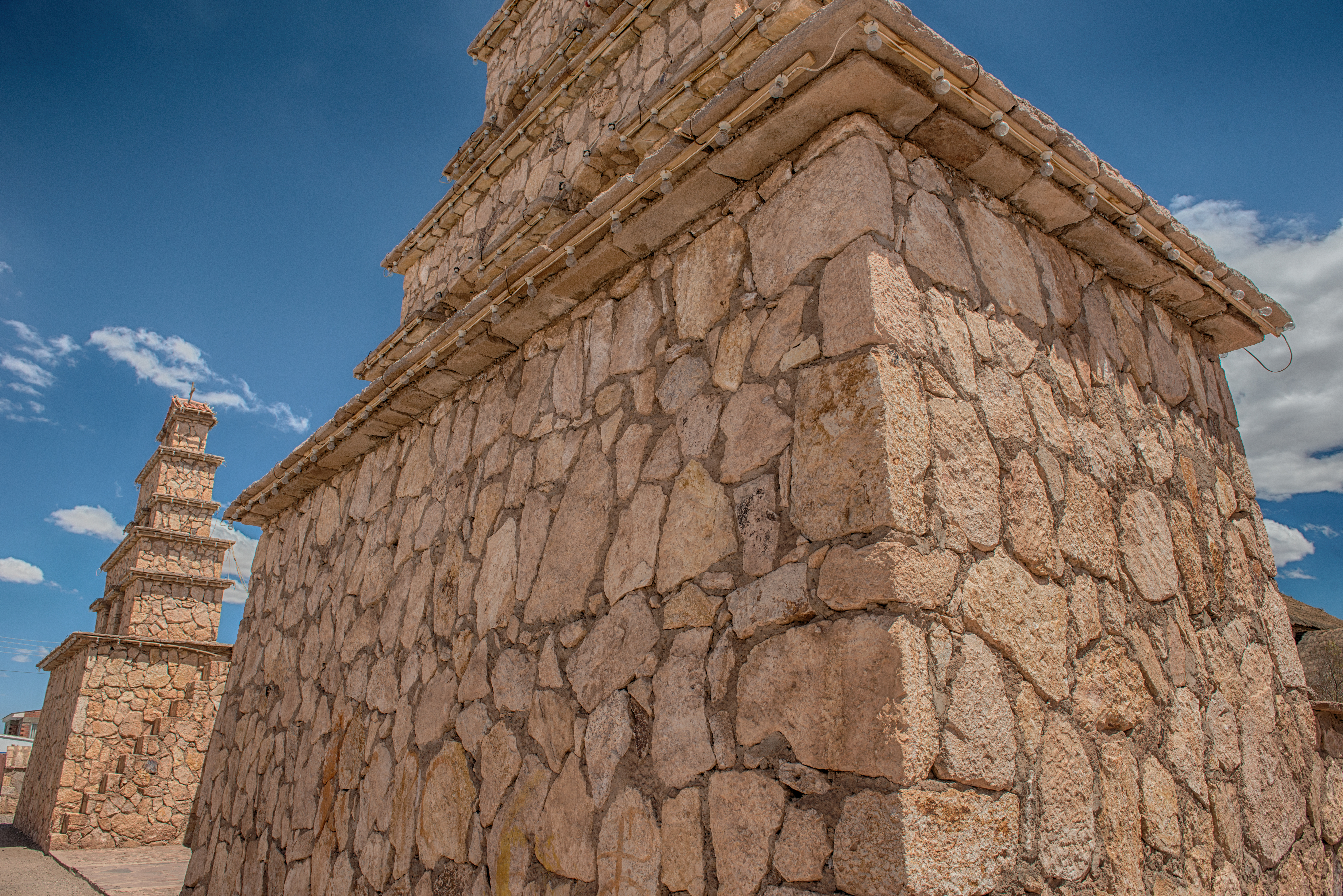
Church of San Cristobal
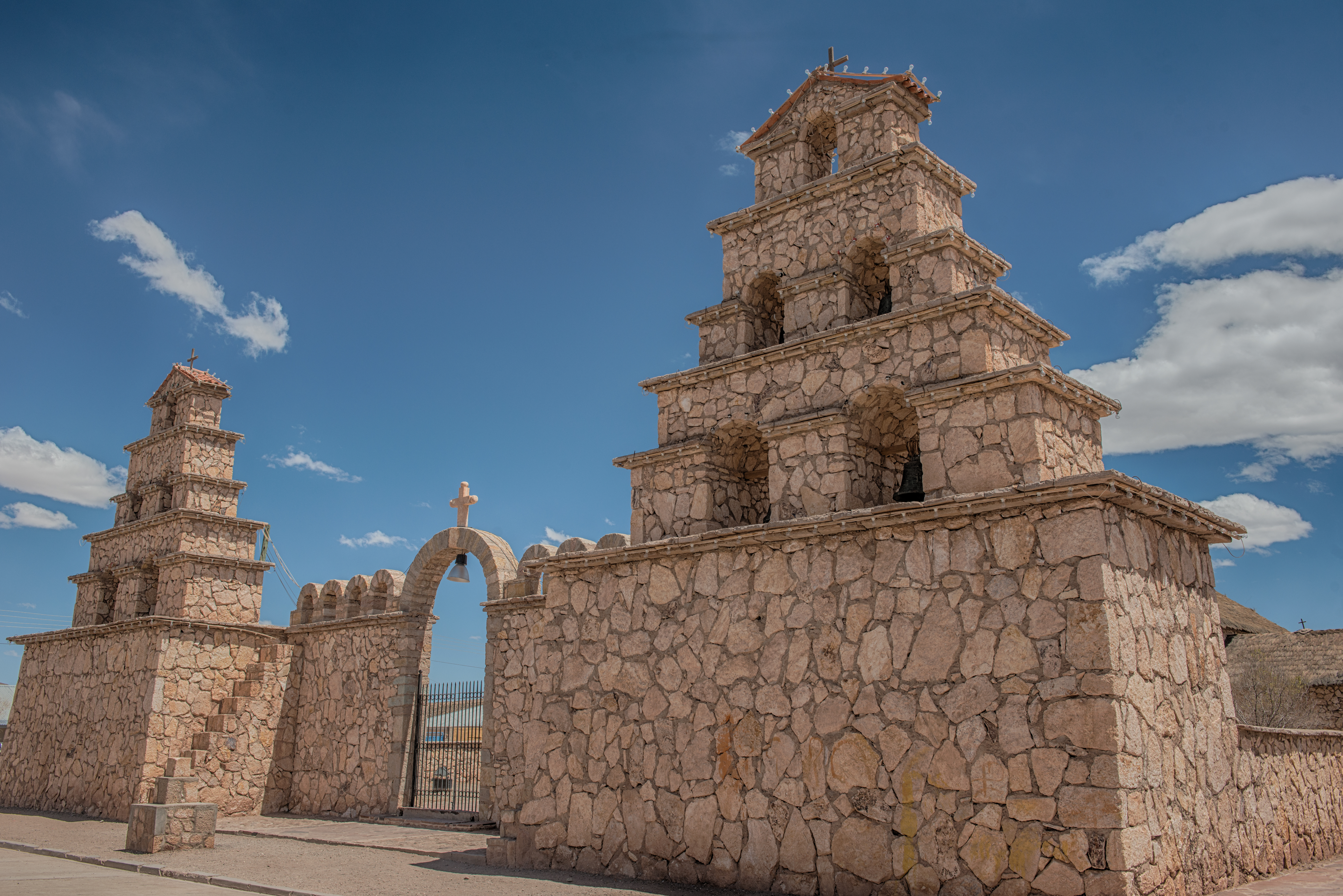
Church of San Cristobal
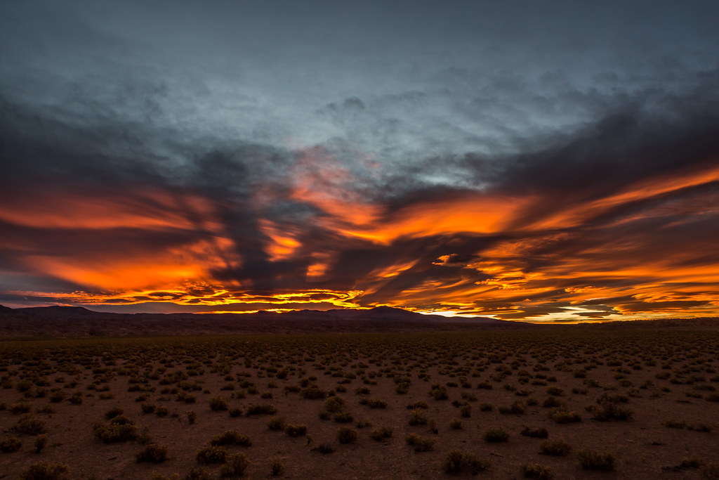
Bolivian sunset
Sunset in the desert

Sun glimps

To Salar de Uyuni

To Salar de Uyuni
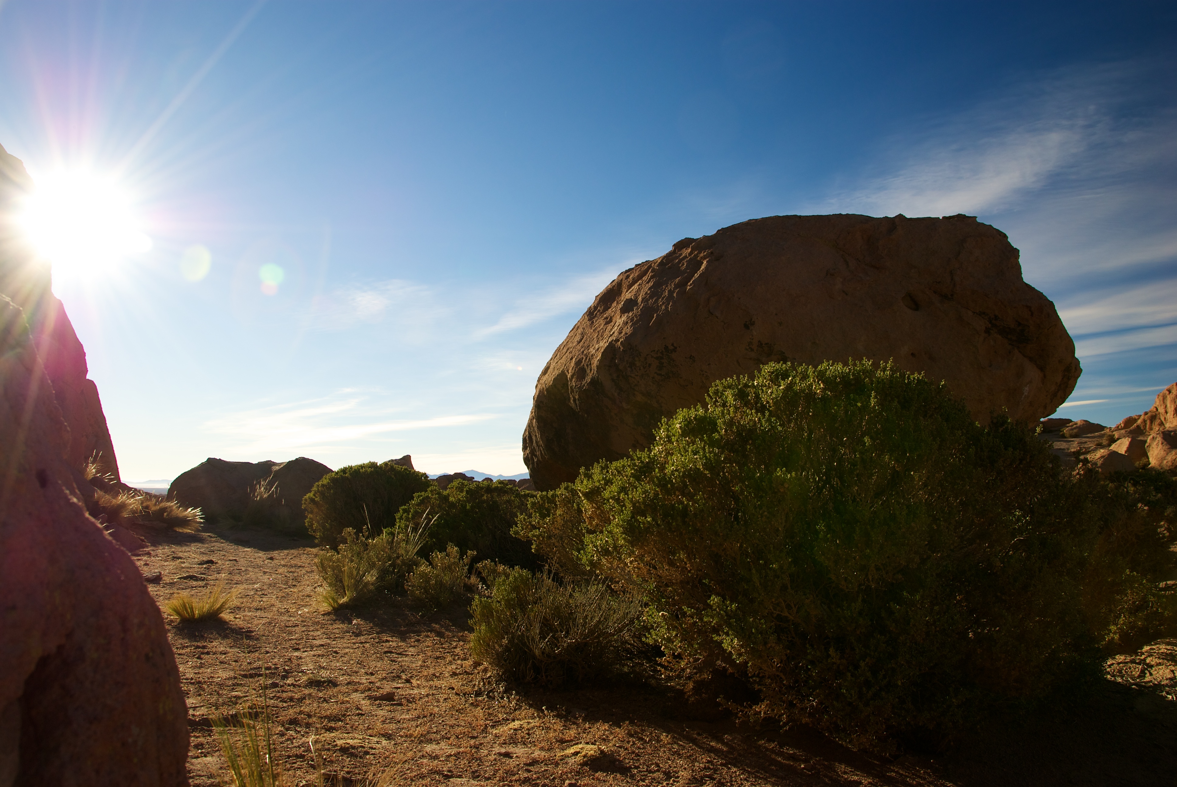
Desert landscape

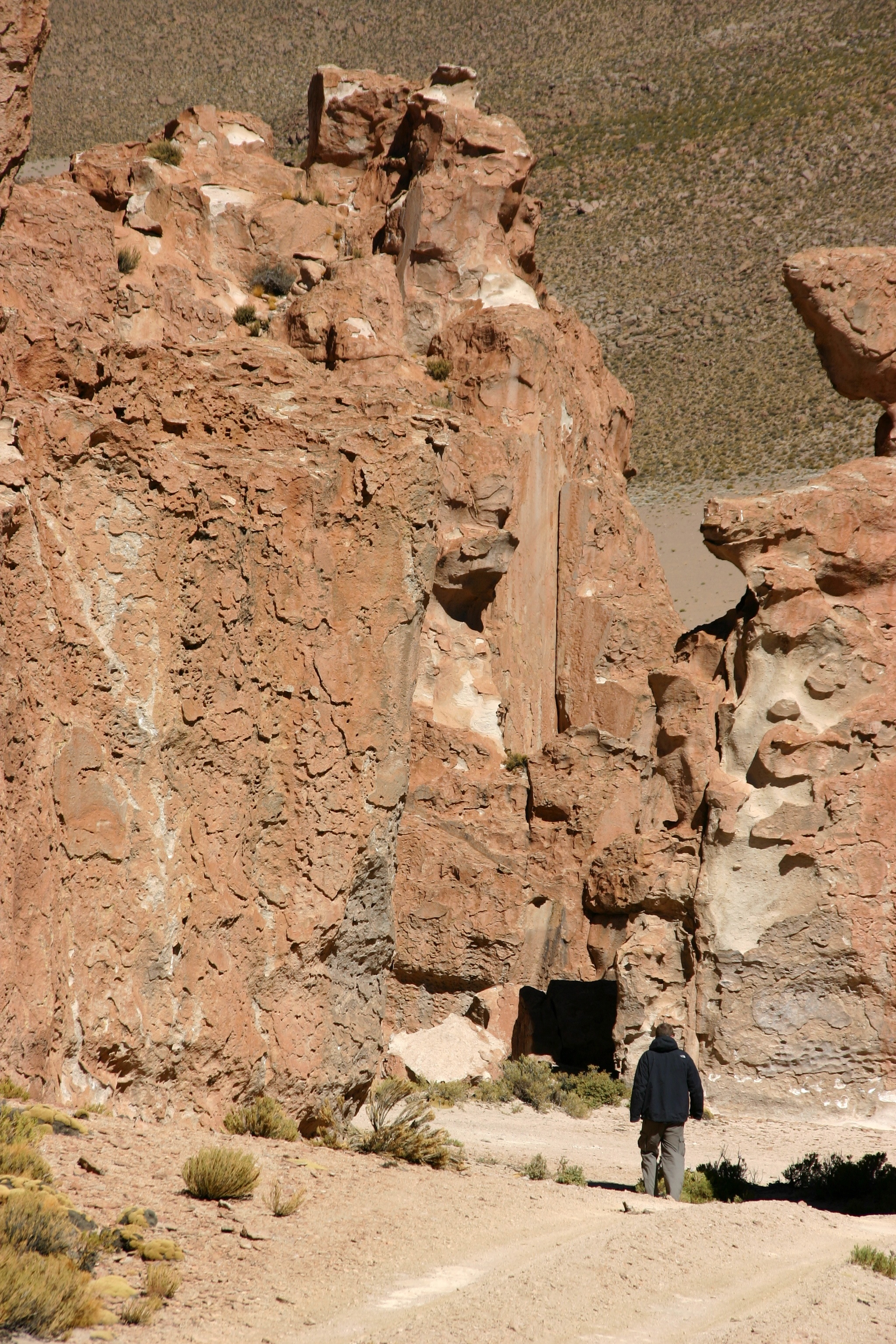
To Salar de Uyuni

Bolivian sunset
To Salar de Uyuni

To Salar de Uyuni
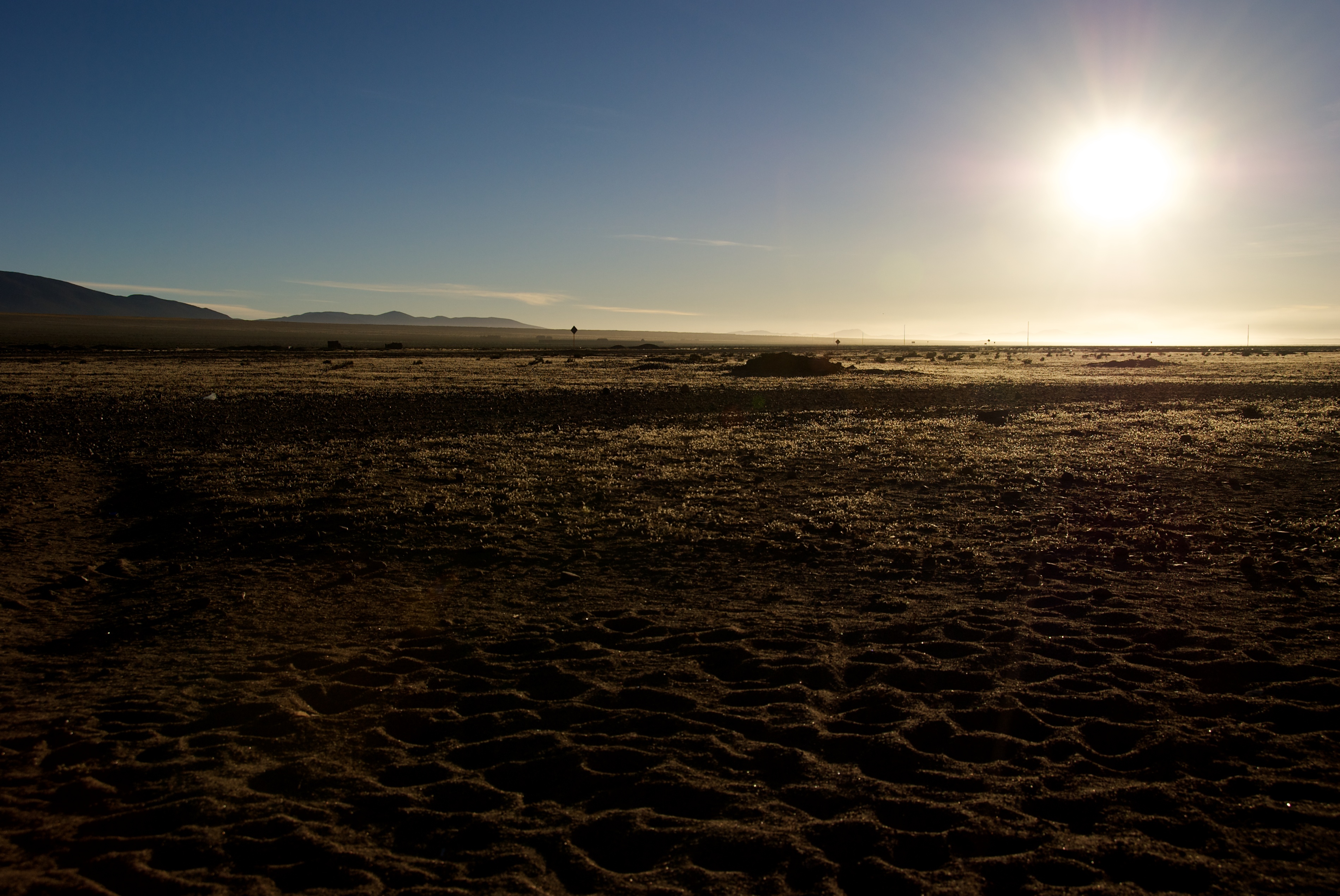
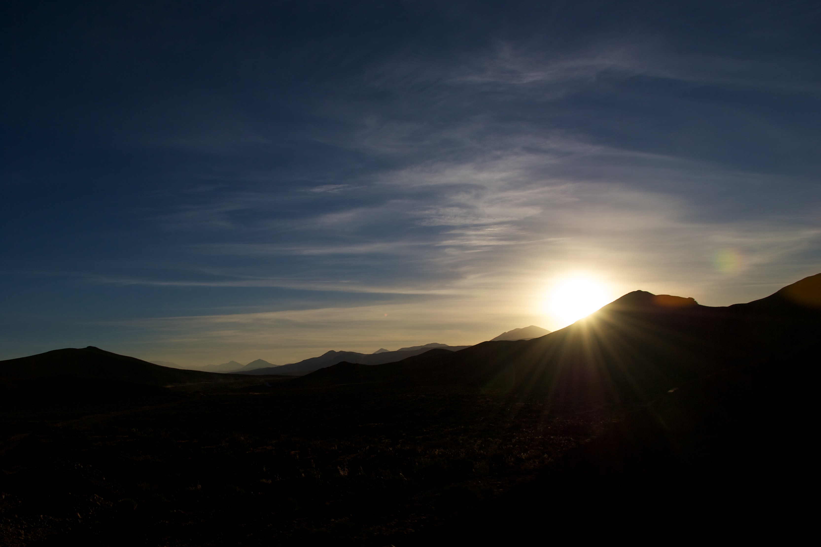
Sunrise in the desert
Topographic Map of San Cristóbal, Bolivia
Find elevation by address:

Places near San Cristóbal, Bolivia:
San Jerónimo
Culpina K
Andes
Enrique Baldivieso
Jardines De Mallku Cueva
Villamar Mallcu
Soniquera
P'aqu Urqu
San Vicente
Muruq'u
Sol De La Mañana
Sol De La Mañana
Sol De La Mañana Geyser
Quetena Chico
Chilcobija Campamento Minero
San Pablo
Sur Lípez
Recent Searches:
- Elevation of Congressional Dr, Stevensville, MD, USA
- Elevation of Bellview Rd, McLean, VA, USA
- Elevation of Stage Island Rd, Chatham, MA, USA
- Elevation of Shibuya Scramble Crossing, 21 Udagawacho, Shibuya City, Tokyo -, Japan
- Elevation of Jadagoniai, Kaunas District Municipality, Lithuania
- Elevation of Pagonija rock, Kranto 7-oji g. 8"N, Kaunas, Lithuania
- Elevation of Co Rd 87, Jamestown, CO, USA
- Elevation of Tenjo, Cundinamarca, Colombia
- Elevation of Côte-des-Neiges, Montreal, QC H4A 3J6, Canada
- Elevation of Bobcat Dr, Helena, MT, USA