Elevation map of Muruq'u, Bolivia
Location: Bolivia > Potosi Department > Sur Lípez >
Longitude: -66.606111
Latitude: -21.865278
Elevation: 5299m / 17385feet
Barometric Pressure: 52KPa
Elevation Map:
Satellite Map:
Related Photos:
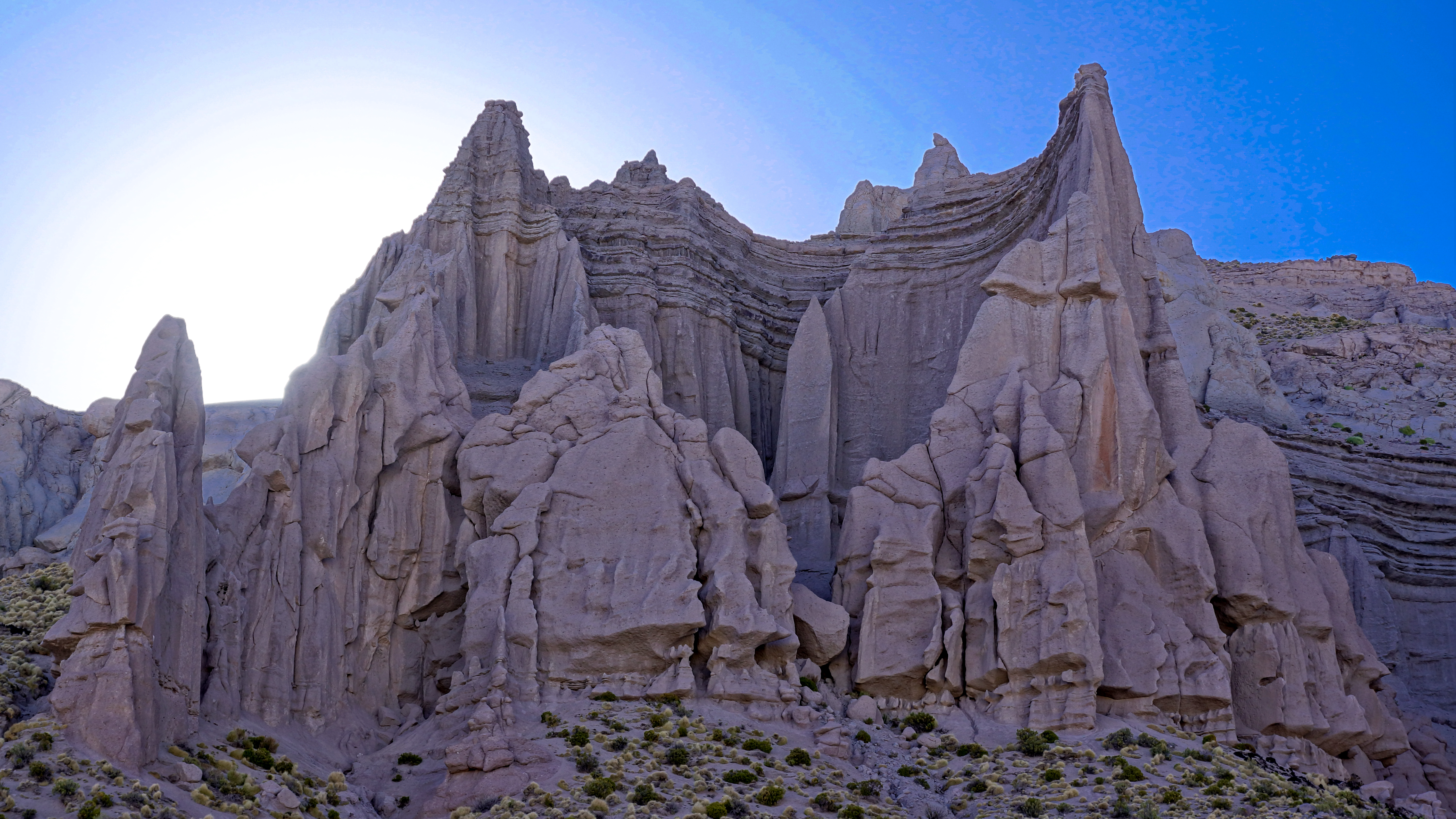
sunset at el castillo quemado/ the burn castle-DSC05347.jpg
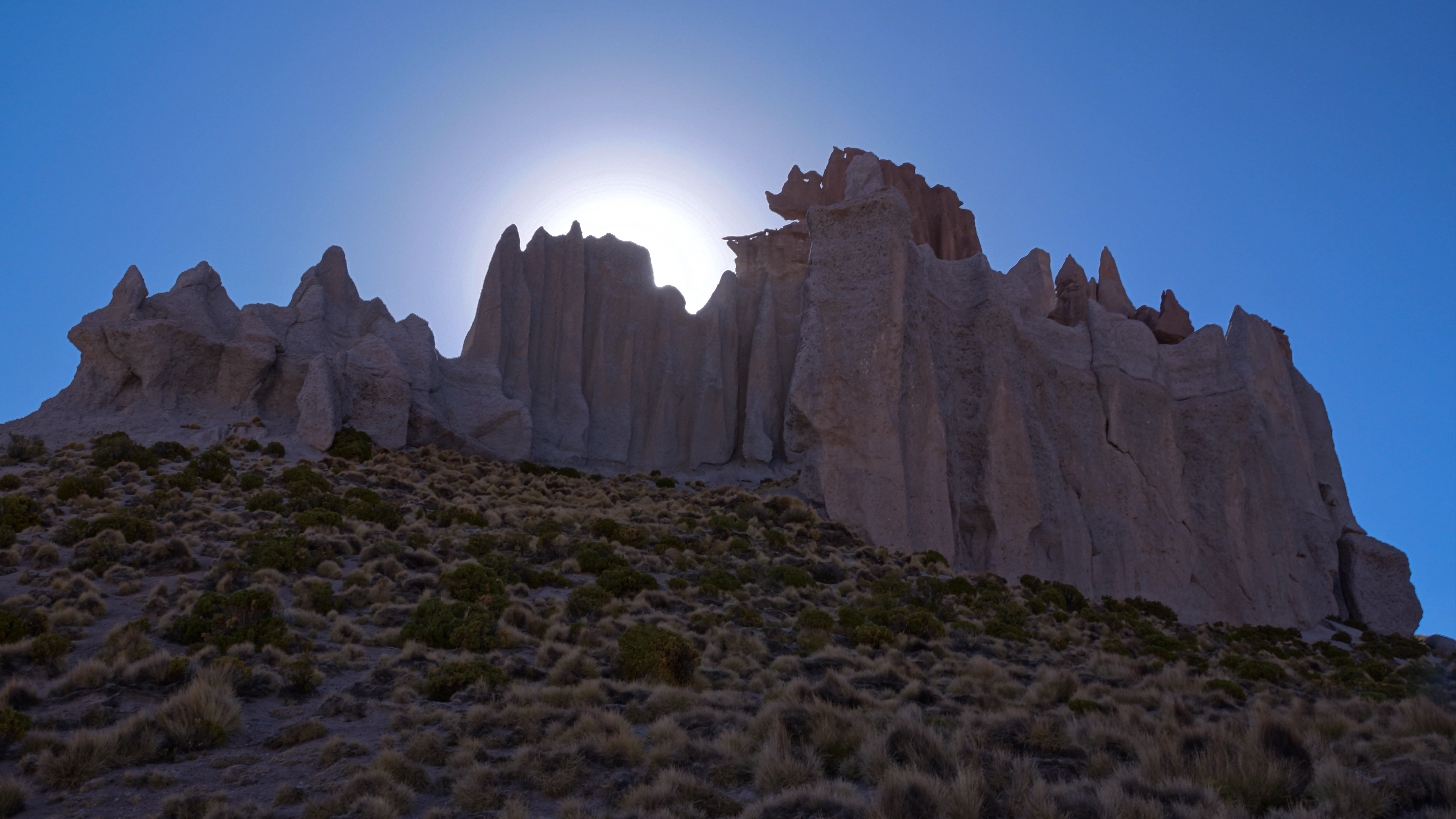
DSC05282 el castillo quemado/ the burn castle>MINAS TIRITH>south lipez<potosi
Topographic Map of Muruq'u, Bolivia
Find elevation by address:

Places near Muruq'u, Bolivia:
P'aqu Urqu
San Vicente
Chilcobija Campamento Minero
San Pablo
Sur Lípez
Andes
Soniquera
Sol De La Mañana
Sol De La Mañana
Sol De La Mañana Geyser
Quetena Chico
Culpina K
Villamar Mallcu
Jardines De Mallku Cueva
San Cristóbal
Enrique Baldivieso
San Jerónimo
Recent Searches:
- Elevation of Corso Fratelli Cairoli, 35, Macerata MC, Italy
- Elevation of Tallevast Rd, Sarasota, FL, USA
- Elevation of 4th St E, Sonoma, CA, USA
- Elevation of Black Hollow Rd, Pennsdale, PA, USA
- Elevation of Oakland Ave, Williamsport, PA, USA
- Elevation of Pedrógão Grande, Portugal
- Elevation of Klee Dr, Martinsburg, WV, USA
- Elevation of Via Roma, Pieranica CR, Italy
- Elevation of Tavkvetili Mountain, Georgia
- Elevation of Hartfords Bluff Cir, Mt Pleasant, SC, USA