Elevation of San Carlos Road, San Carlos Rd, Arizona, USA
Location: United States > Arizona > Navajo County > Snowflake >
Longitude: -109.91990
Latitude: 34.500321
Elevation: -10000m / -32808feet
Barometric Pressure: 295KPa
Elevation Map:
Satellite Map:
Related Photos:

Lake Powell

HWY. 191

IMG_0929-sm.jpg
The view 4

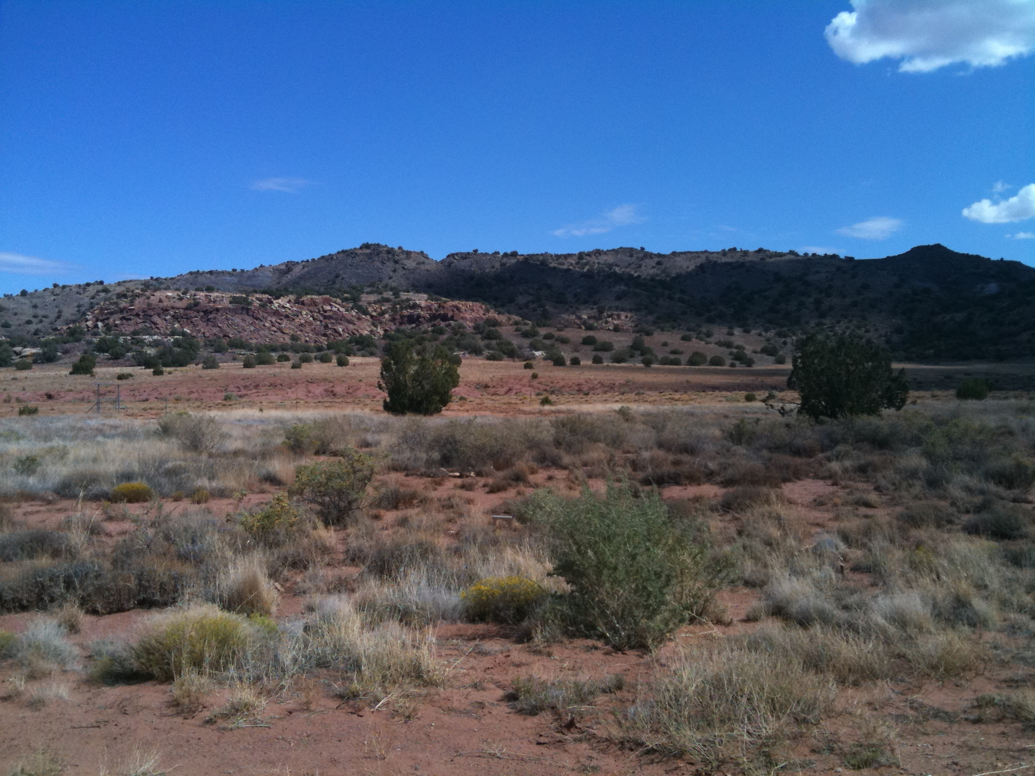
The view 2

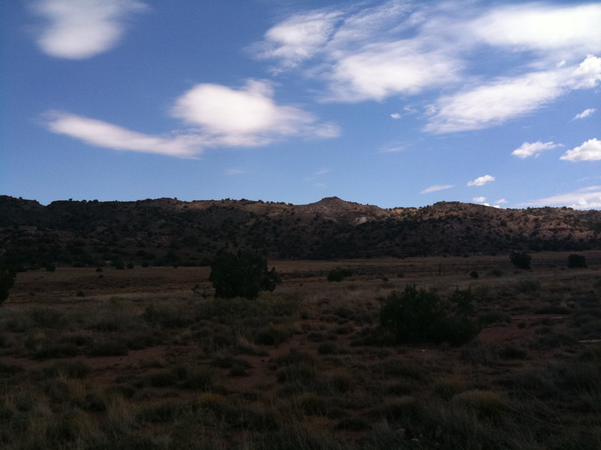
The view
The view 3

View from the ranch

Horse Shoe Bend, Arizona

IMG_7165-Recovered

20181207-FS-APACHE-SITGREAVES-LSC-0319

Steady....... #Silvercreek #Canyon #hiking #climbing #geocaching #snowflake #arizona #instagramaz #instaaz #cliff #southwest
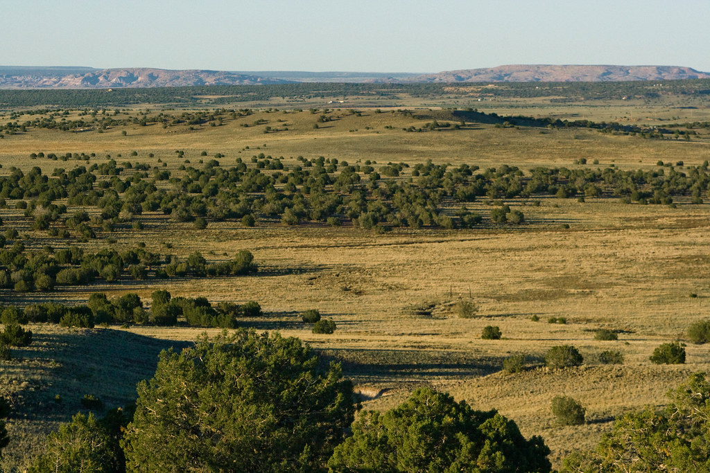
Long afternoon in the high desert

IMG_0933-sm.jpg

Silvercreek Canyon #instaaz #instagramaz #southwest #climbing #cliff #canyon #arizona #hiking

BettyJoon on the lookout

Comin' 'round the mountain
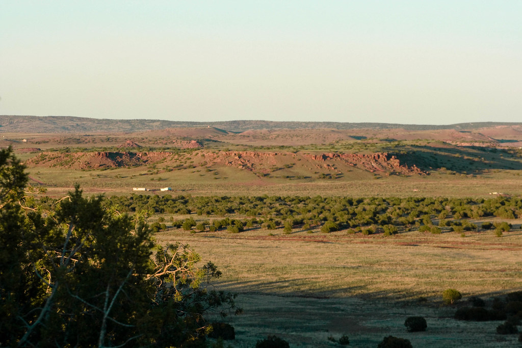
This is Arizona
Topographic Map of San Carlos Road, San Carlos Rd, Arizona, USA
Find elevation by address:

Places near San Carlos Road, San Carlos Rd, Arizona, USA:
3885 Dusty Rd
4241 Colt Rd
1937 Lone Star Rd
1937 Lone Star Rd
9700 Willis Hill Trail
8148 Buckskin Trail
2356 Laguna Rd
5137 Anasazi Rd
5468 Valley Rd
2035 Silver Lake Blvd
Hill Place
2051 Silver Lake Blvd
111 E 1/2 St N
Snowflake
Well Road
Lakeside Drive
Lakeside Dr, Show Low, AZ, USA
Juniper Ridge Resort
1863 Daggs Pl
19 Center St, Snowflake, AZ, USA
Recent Searches:
- Elevation of Côte-des-Neiges, Montreal, QC H4A 3J6, Canada
- Elevation of Bobcat Dr, Helena, MT, USA
- Elevation of Zu den Ihlowbergen, Althüttendorf, Germany
- Elevation of Badaber, Peshawar, Khyber Pakhtunkhwa, Pakistan
- Elevation of SE Heron Loop, Lincoln City, OR, USA
- Elevation of Slanický ostrov, 01 Námestovo, Slovakia
- Elevation of Spaceport America, Co Rd A, Truth or Consequences, NM, USA
- Elevation of Warwick, RI, USA
- Elevation of Fern Rd, Whitmore, CA, USA
- Elevation of 62 Abbey St, Marshfield, MA, USA