Elevation of Buckskin Trail, Snowflake, AZ, USA
Location: United States > Arizona > Navajo County > Snowflake >
Longitude: -110.01676
Latitude: 34.568226
Elevation: 1758m / 5768feet
Barometric Pressure: 82KPa
Elevation Map:
Satellite Map:
Related Photos:

This is how you tickle the underside of a Bull (not recommended) - 9897

HWY. 191
View from Snowflake Arizona L.D.S. Temple
View from Snowflake Arizona L.D.S. Temple
20181207-FS-APACHE-SITGREAVES-LSC-0319

Apache RY Local
Steady....... #Silvercreek #Canyon #hiking #climbing #geocaching #snowflake #arizona #instagramaz #instaaz #cliff #southwest

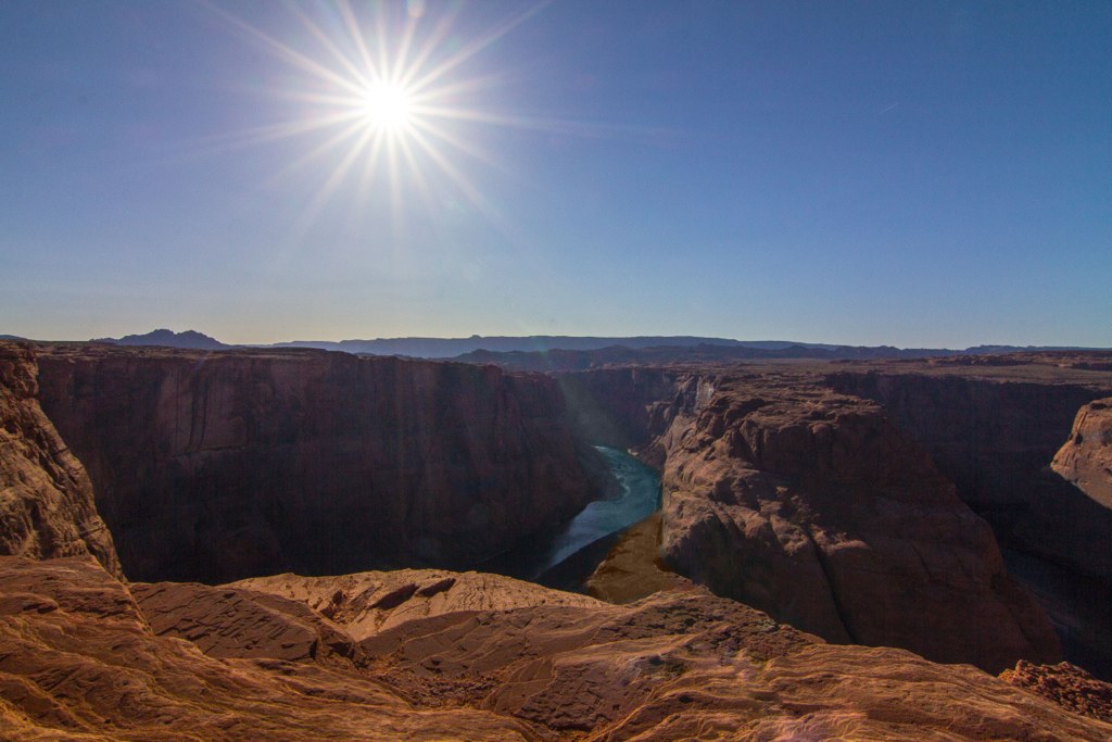
Horse Shoe Bend, Arizona
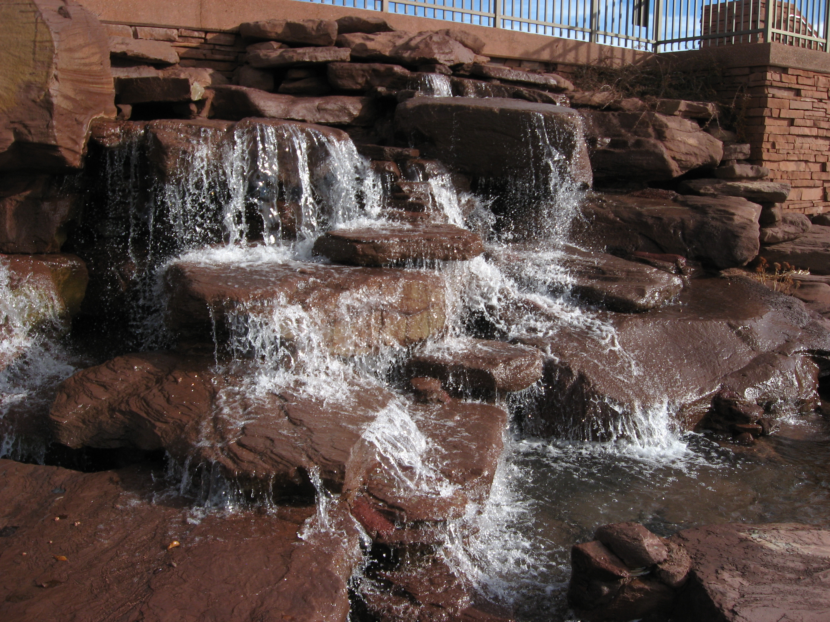
Snowflake Arizona L.D.S. Temple Waterfall
IMG_7165-Recovered
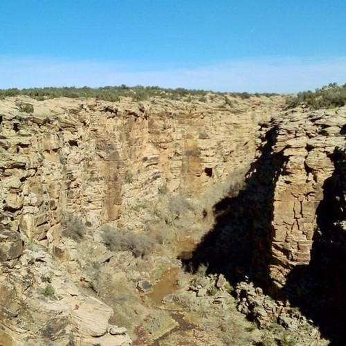
Silvercreek Canyon #instaaz #instagramaz #southwest #climbing #cliff #canyon #arizona #hiking
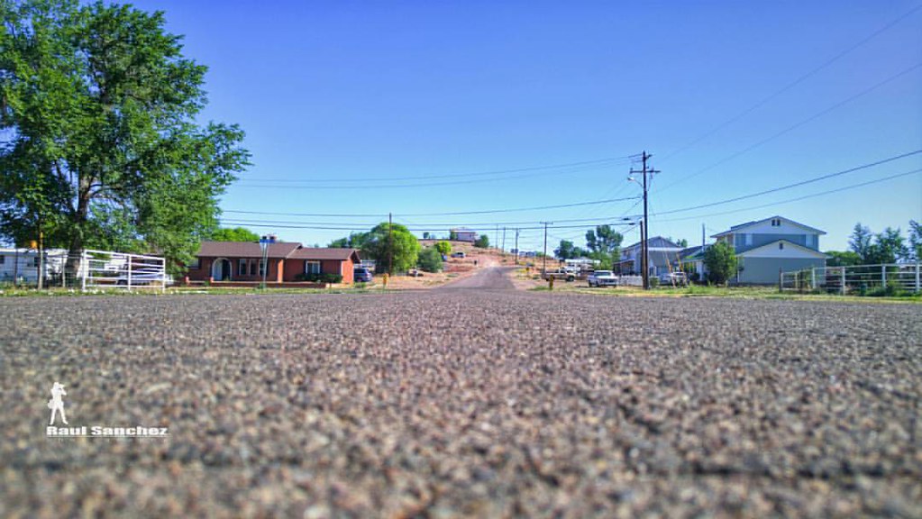
Out For A Walk. Taylor, Arizona USA. Went outside for a #walk and to do some #exploring Always have my #LG #G4 phone with me to #photograph things that catch my eye. This time it was just the #eyelevel that interest me. ➖:heavy_
Topographic Map of Buckskin Trail, Snowflake, AZ, USA
Find elevation by address:

Places near Buckskin Trail, Snowflake, AZ, USA:
5137 Anasazi Rd
Snowflake
111 E 1/2 St N
5468 Valley Rd
3885 Dusty Rd
North View Road
San Carlos Road
90 W Country Club Dr
19 Center St, Snowflake, AZ, USA
Taylor
9700 Willis Hill Trail
4241 Colt Rd
Shumway
Shumway Rd, Show Low, AZ, USA
2356 Laguna Rd
1937 Lone Star Rd
1937 Lone Star Rd
Well Road
White Mountain Lake Road
Sitgreaves Ranch Road
Recent Searches:
- Elevation of 30 Oak Lawn Dr, Barkhamsted, CT, USA
- Elevation of Luther Road, Luther Rd, Auburn, CA, USA
- Elevation of Unnamed Road, Respublika Severnaya Osetiya — Alaniya, Russia
- Elevation of Verkhny Fiagdon, North Ossetia–Alania Republic, Russia
- Elevation of F. Viola Hiway, San Rafael, Bulacan, Philippines
- Elevation of Herbage Dr, Gulfport, MS, USA
- Elevation of Lilac Cir, Haldimand, ON N3W 2G9, Canada
- Elevation of Harrod Branch Road, Harrod Branch Rd, Kentucky, USA
- Elevation of Wyndham Grand Barbados Sam Lords Castle All Inclusive Resort, End of Belair Road, Long Bay, Bridgetown Barbados
- Elevation of Iga Trl, Maggie Valley, NC, USA