Elevation of San Blas, Nayarit, Mexico
Location: Mexico > Nayarit >
Longitude: -105.28441
Latitude: 21.5409436
Elevation: 8m / 26feet
Barometric Pressure: 101KPa
Elevation Map:
Satellite Map:
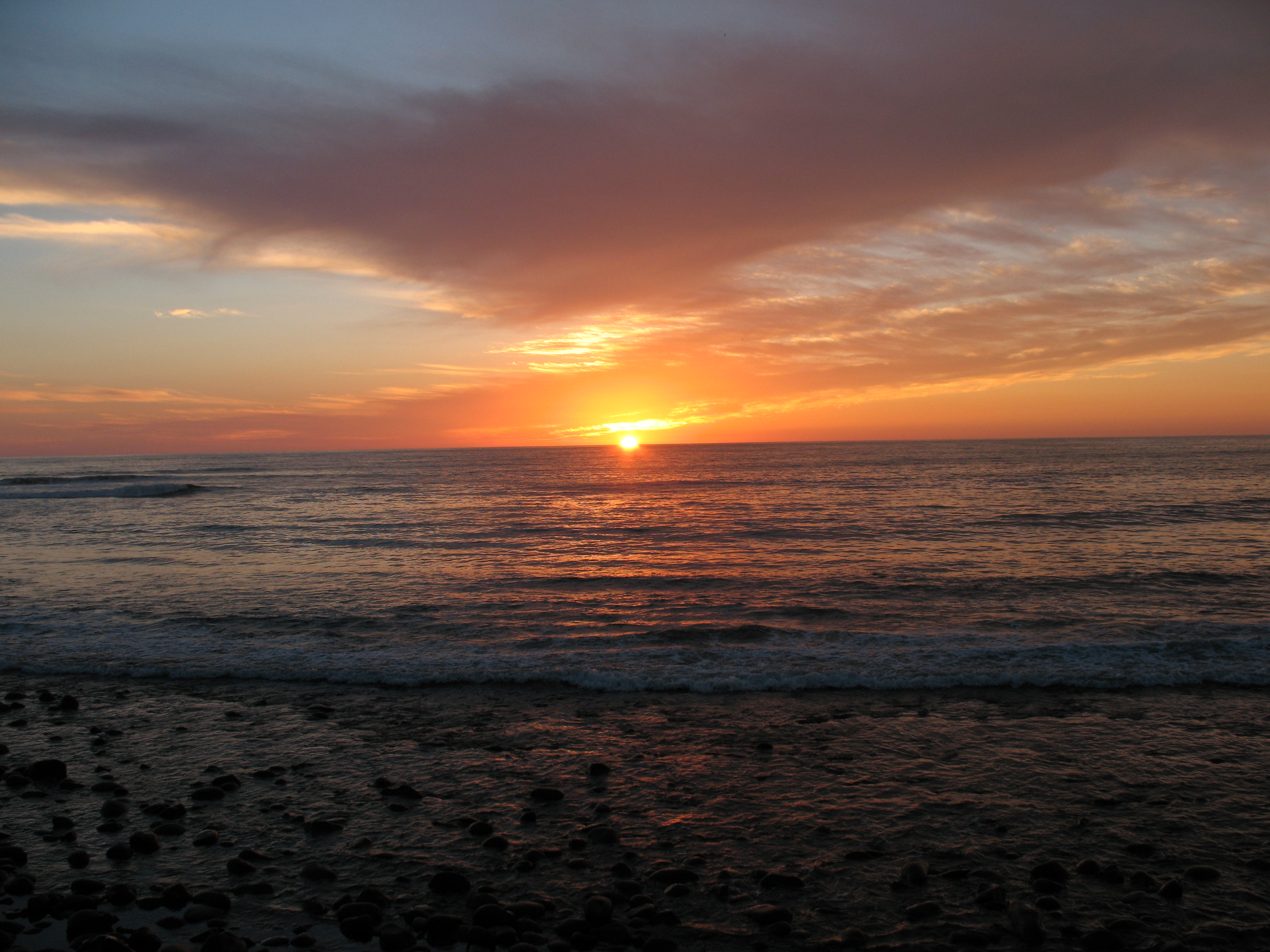
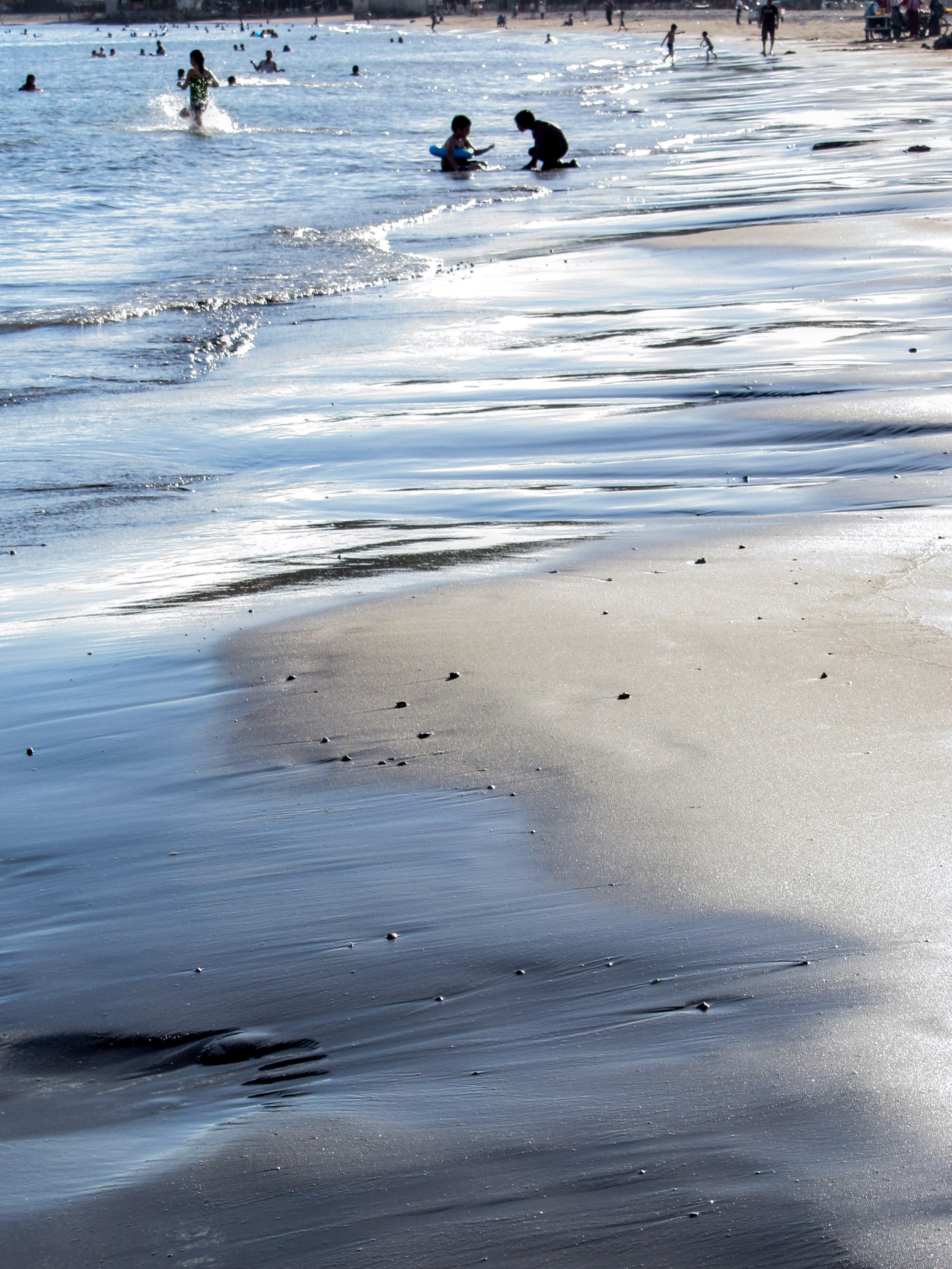
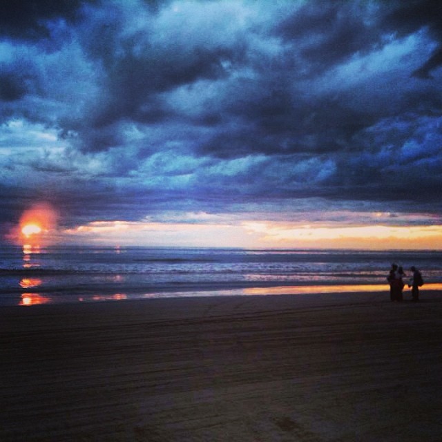
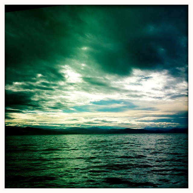
Related Photos:

Templo La Marinera, Patrona de los pescadores
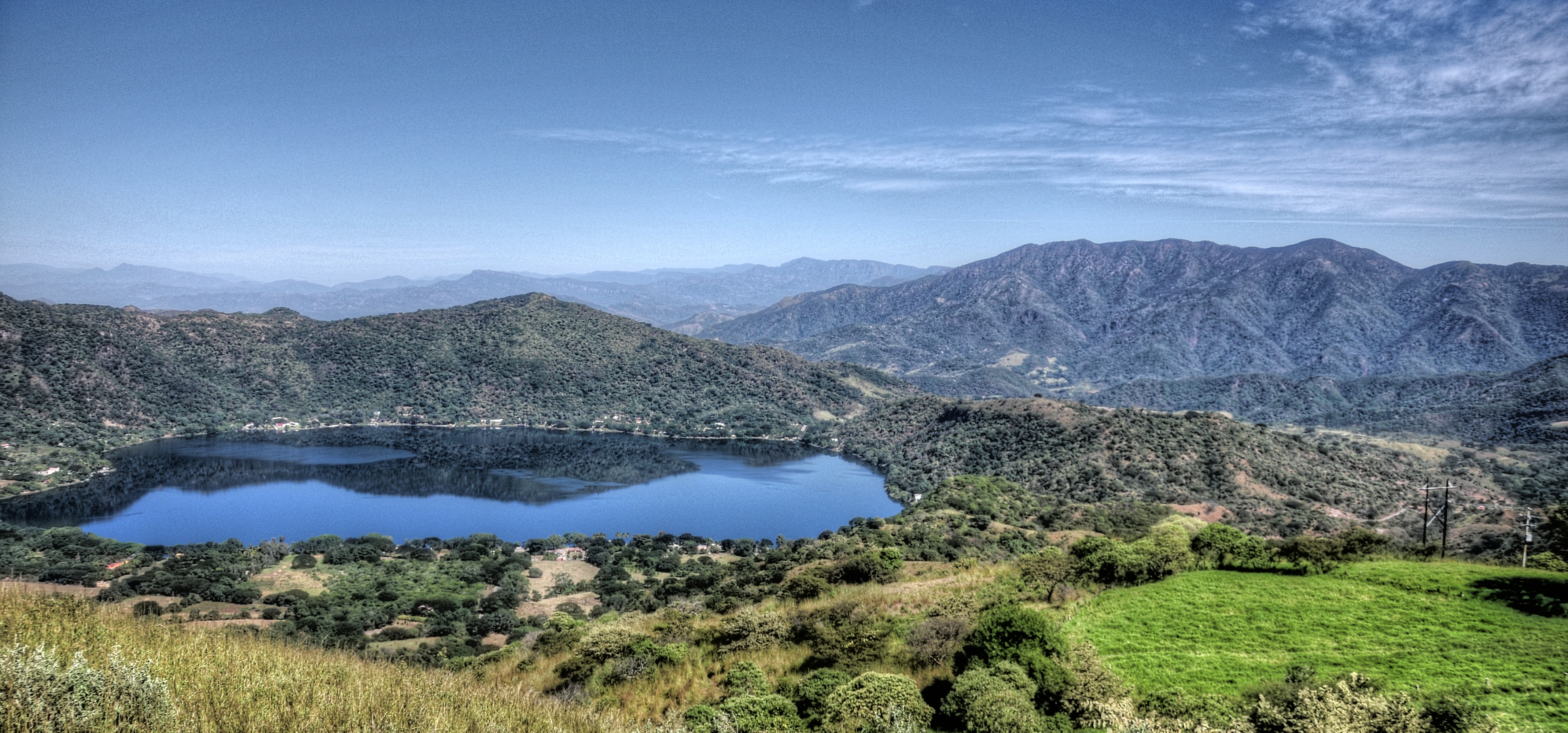
San Blas, Nayarit
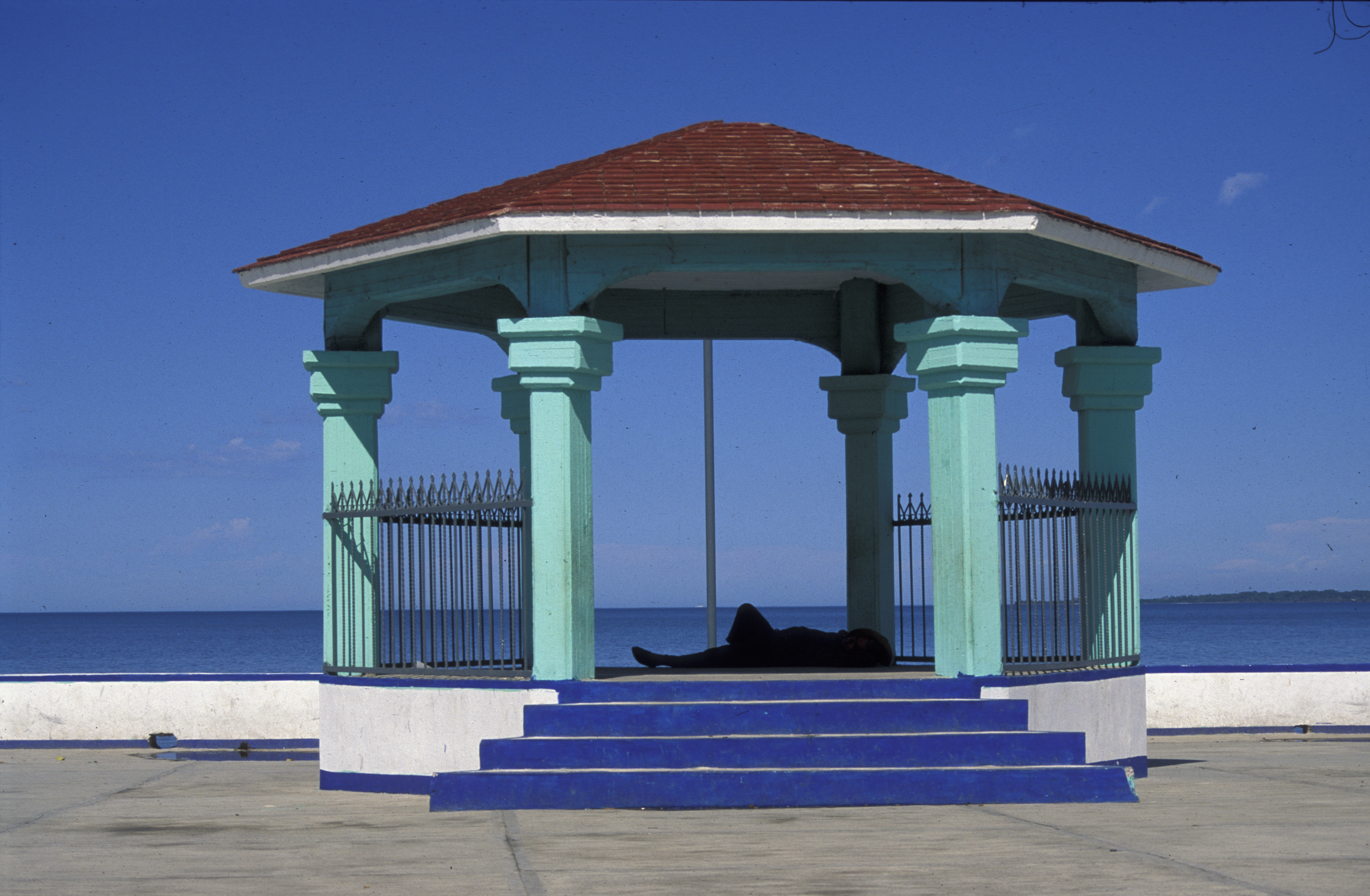
man lying in hut, sea front, Matanchen, MX, 1997_03_20 001.jpg

Ruinas del Templo La Marinera, San Blas
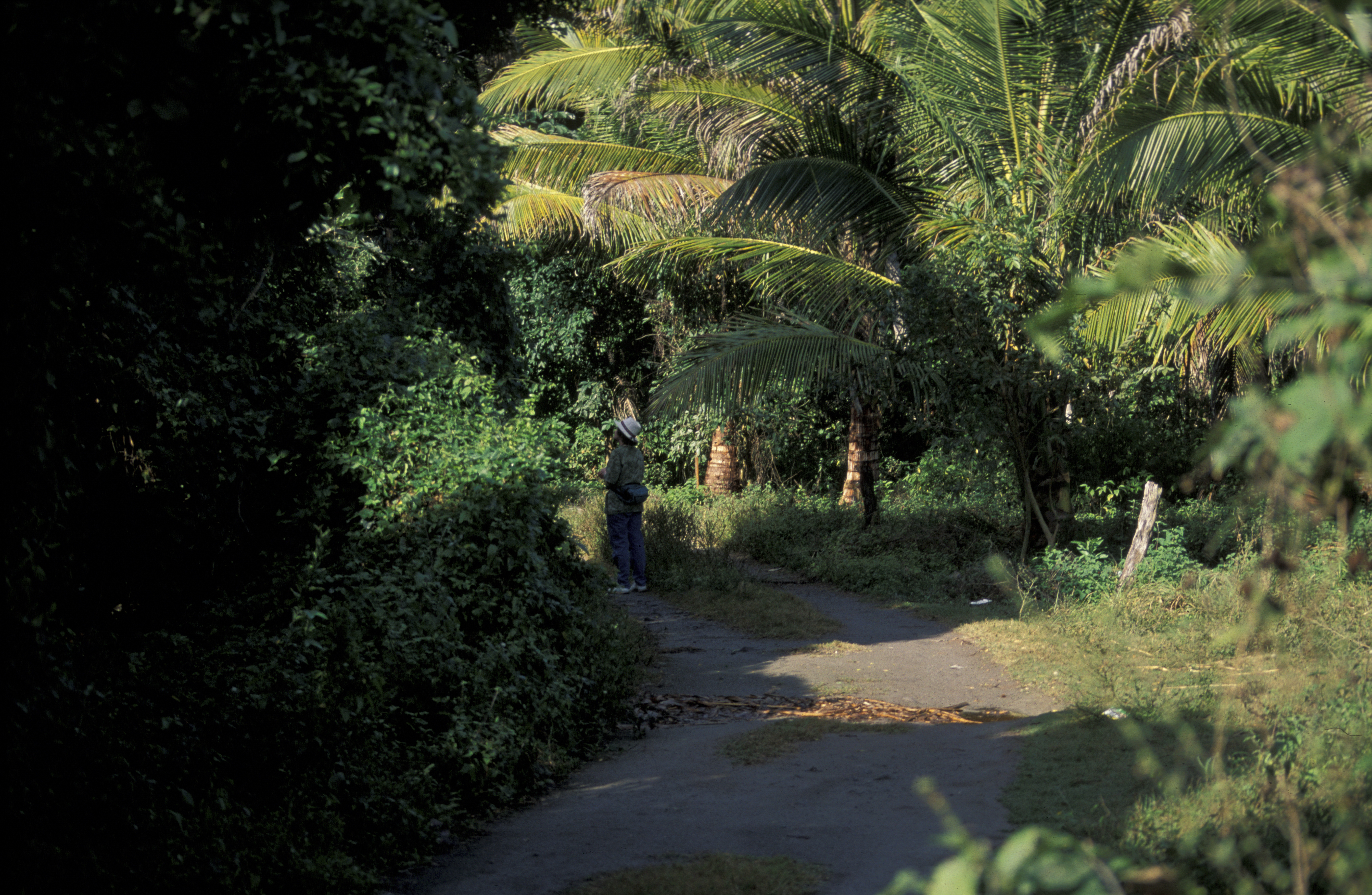
forest, Sharon Lawler, San Blas, MX 1997_03_20.jpg
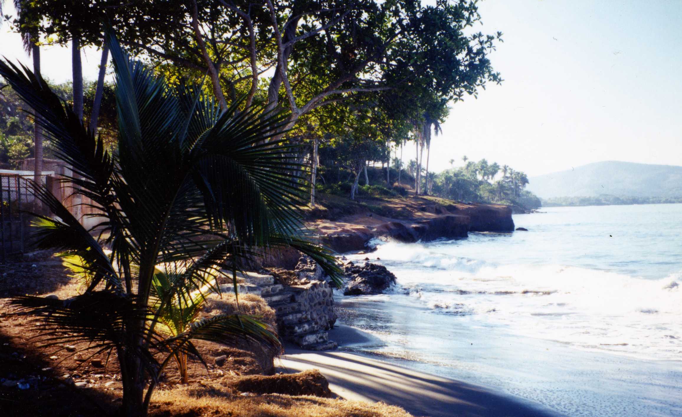
Playa Los Cocos - Nayarit, México

ocean view
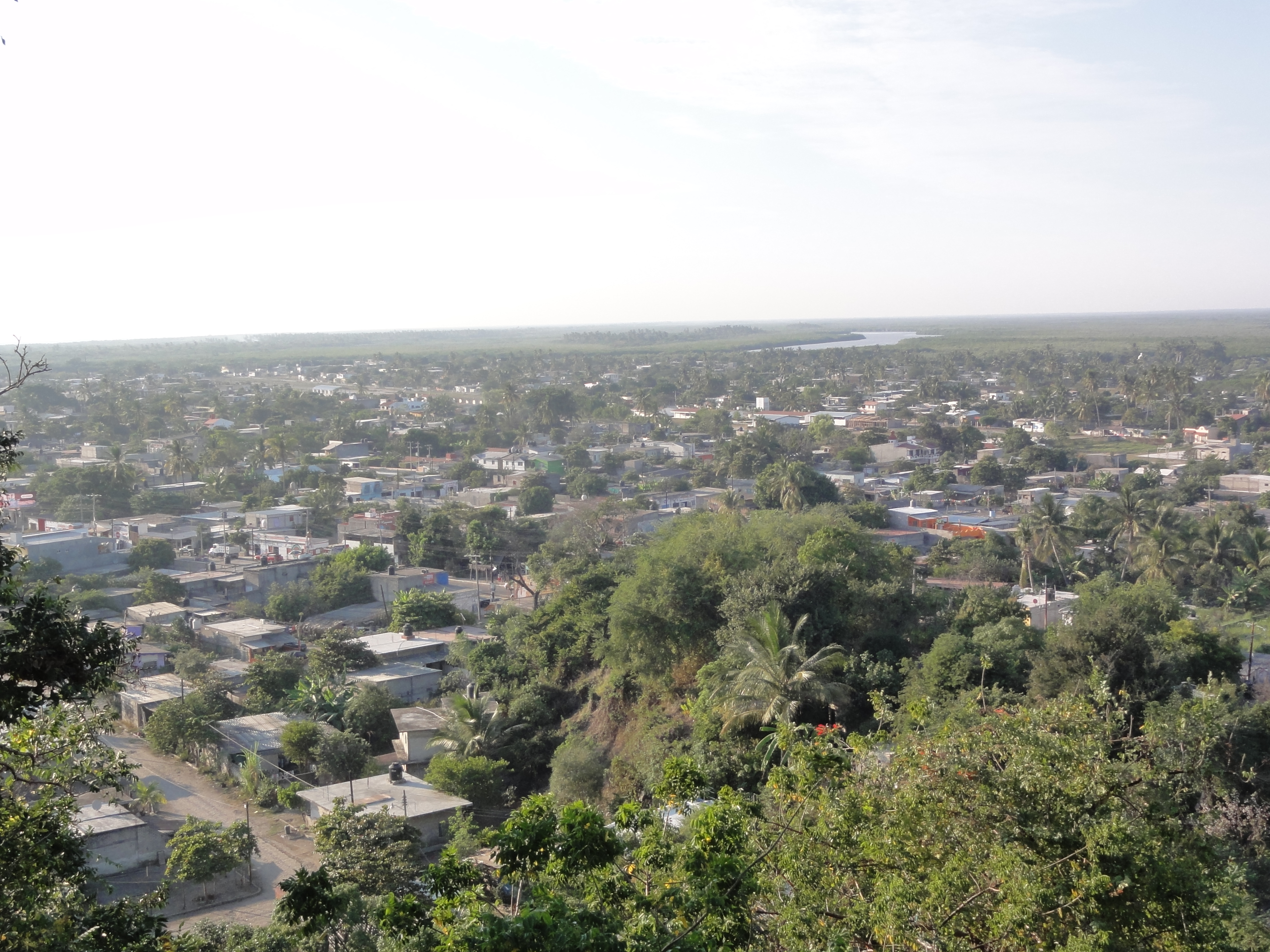
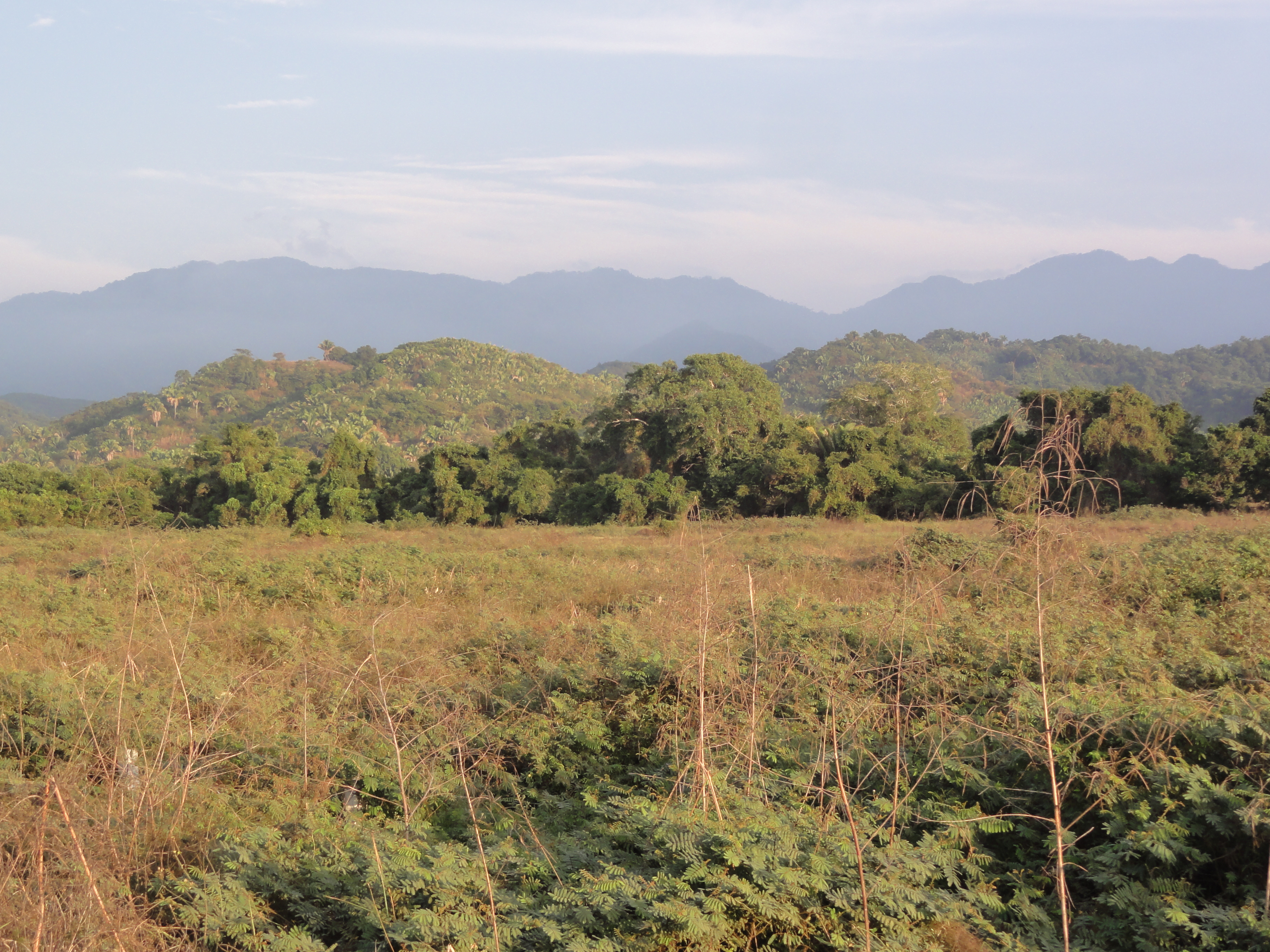
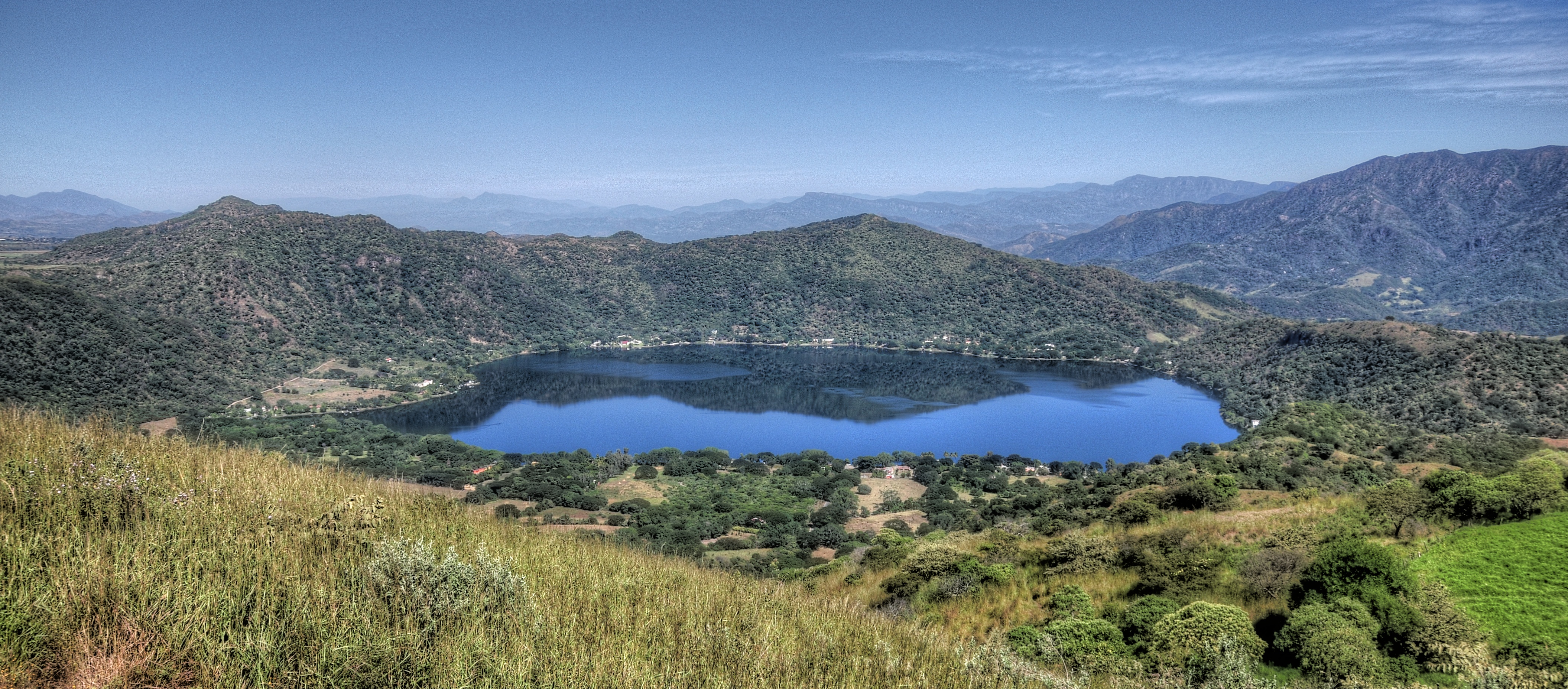
San Blas, Nayarit
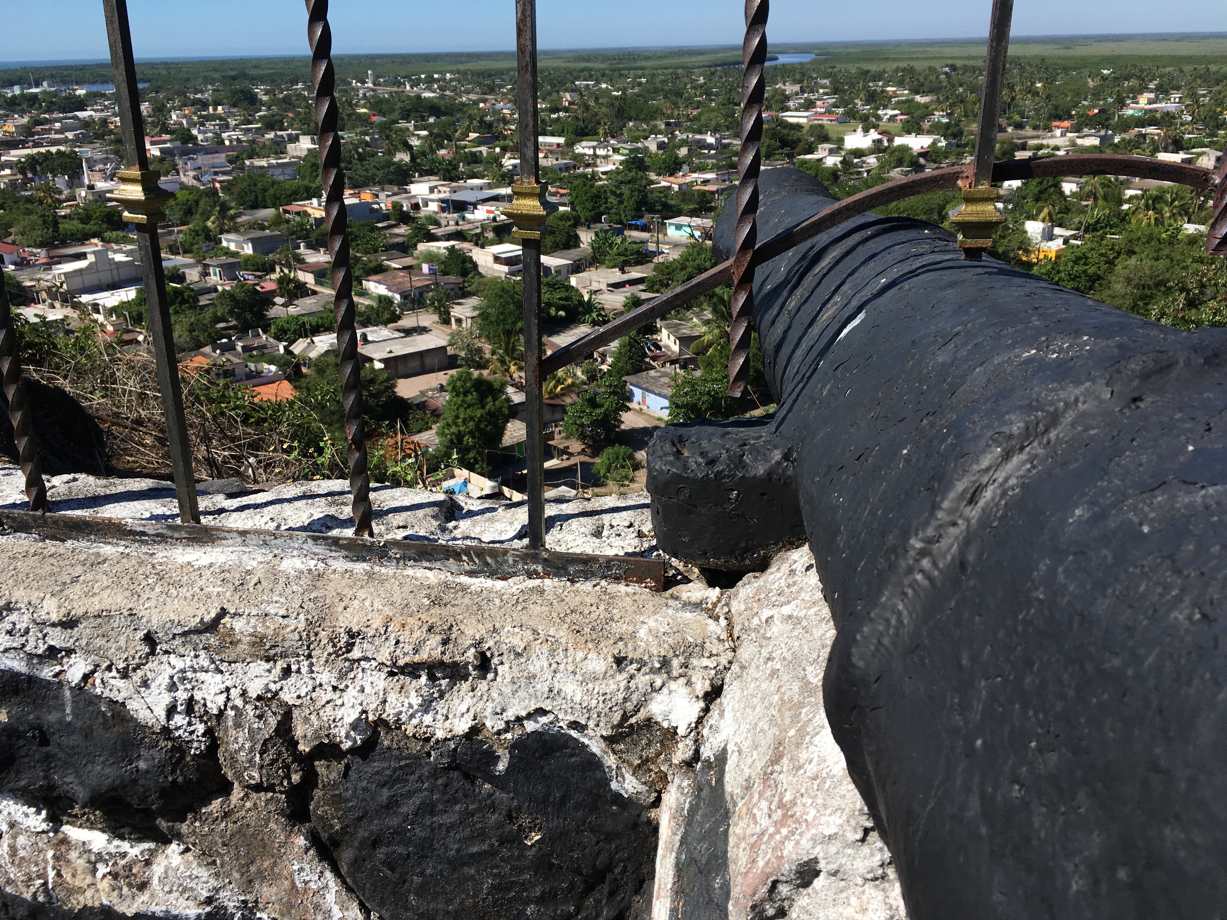
Canon Eye View
Buen fin

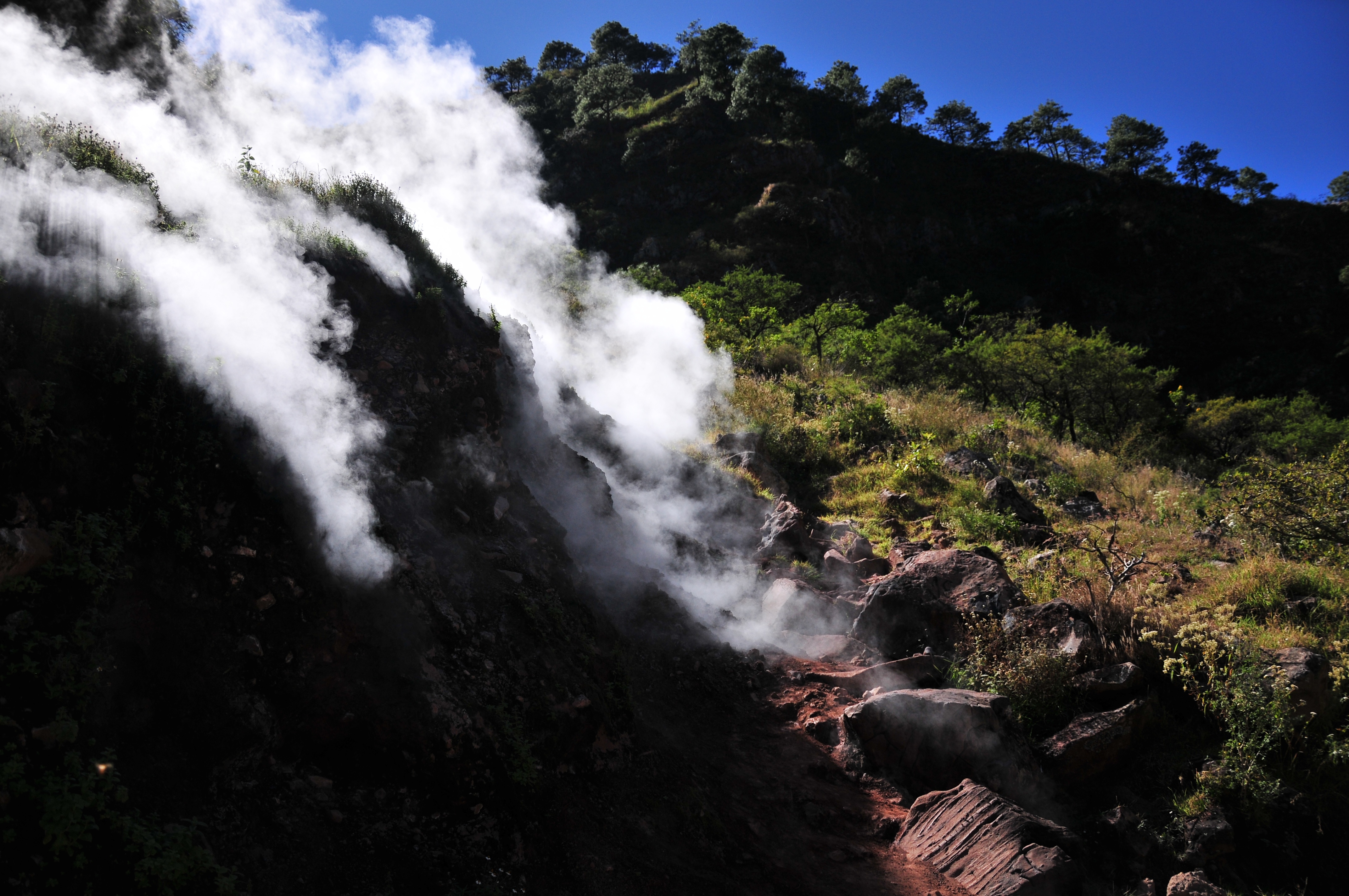
El Cora Falls #waterfall #nayarit #pondhunter
De regreso. San Blas

Bahia Matanchen
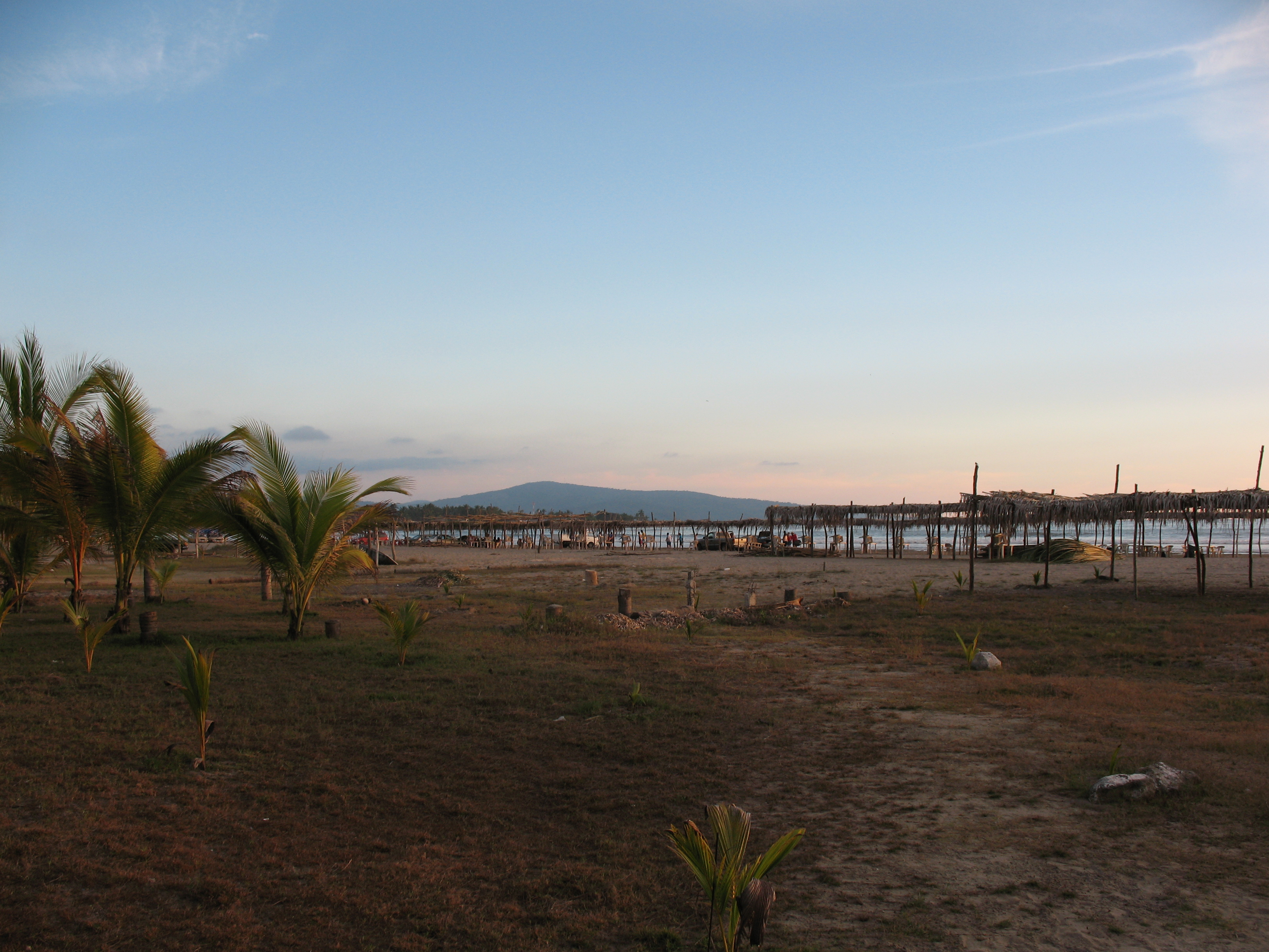
Playa Matanchen

Sayulita Diciembre 2012
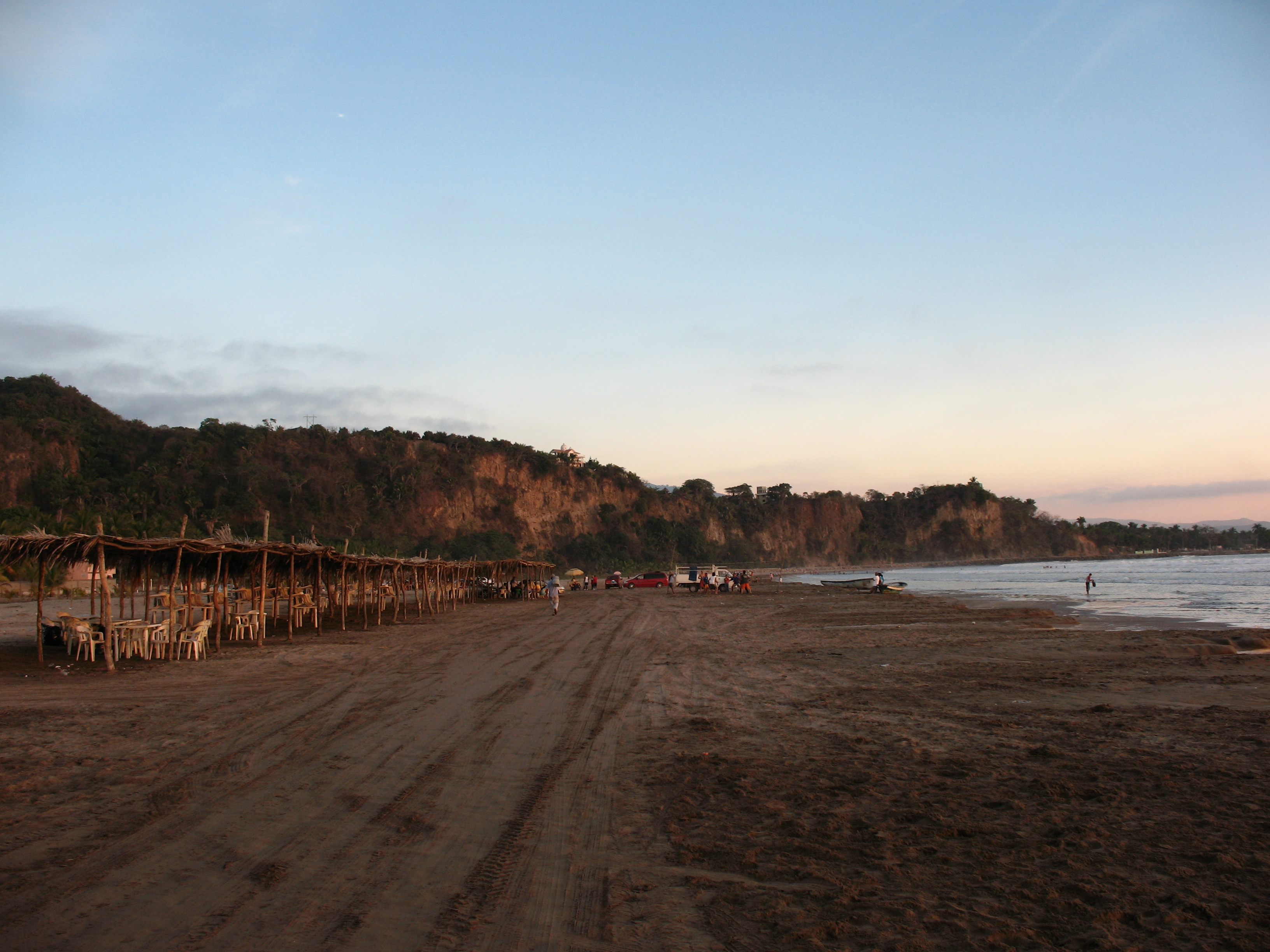
Playa Matanchen

Playa Matanchen

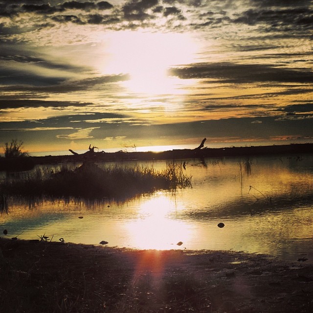
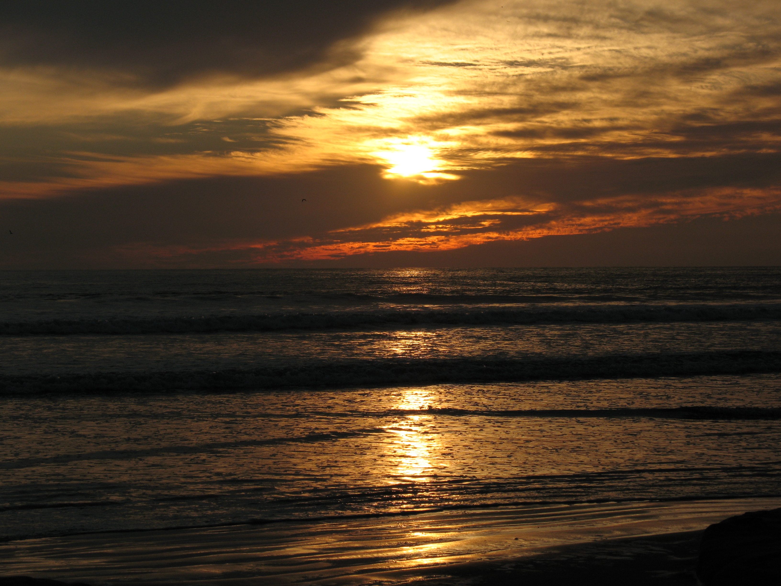
Atardecer en Aticama
Playa Matanchen
Playa Matanchen
Atardecer en Aticama
un dia en la playa
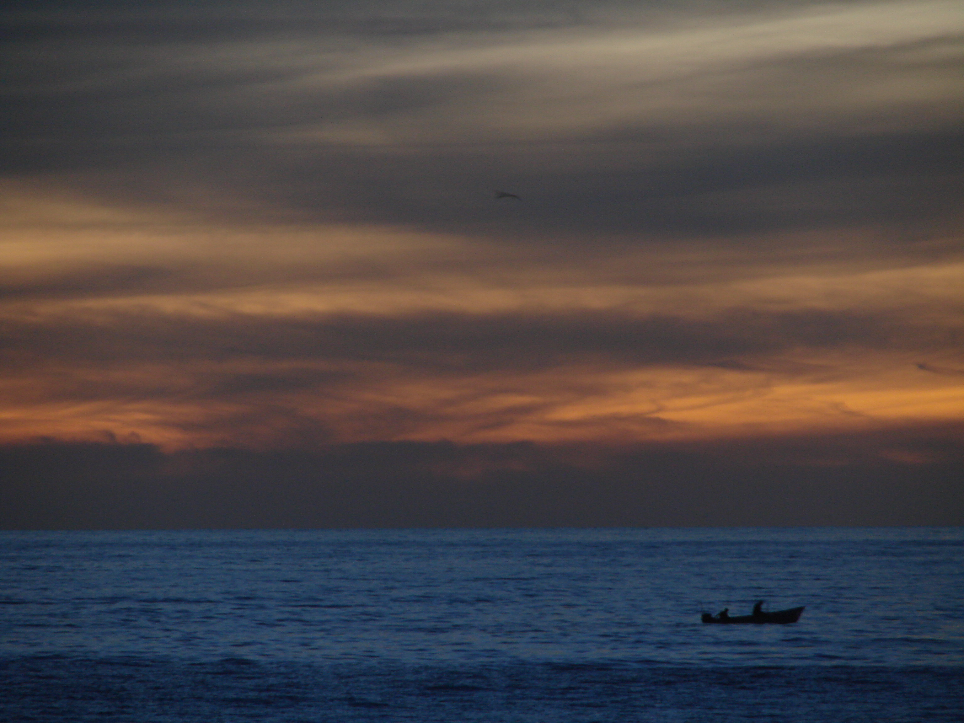
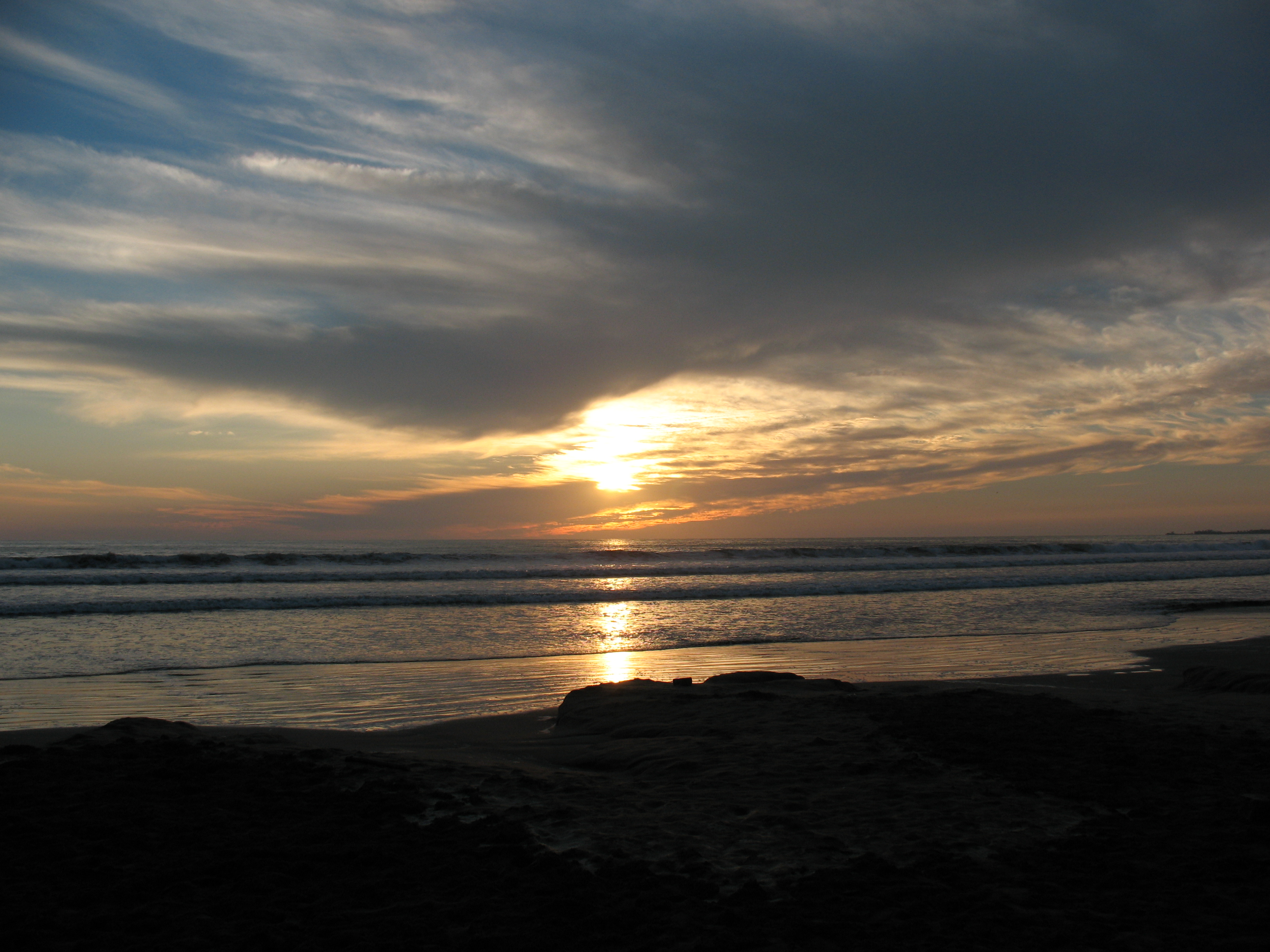
Es tarde ya
San Blas, Nayarit #sea #sky #mexico
KLR 650 Bike Trip Mexico 5
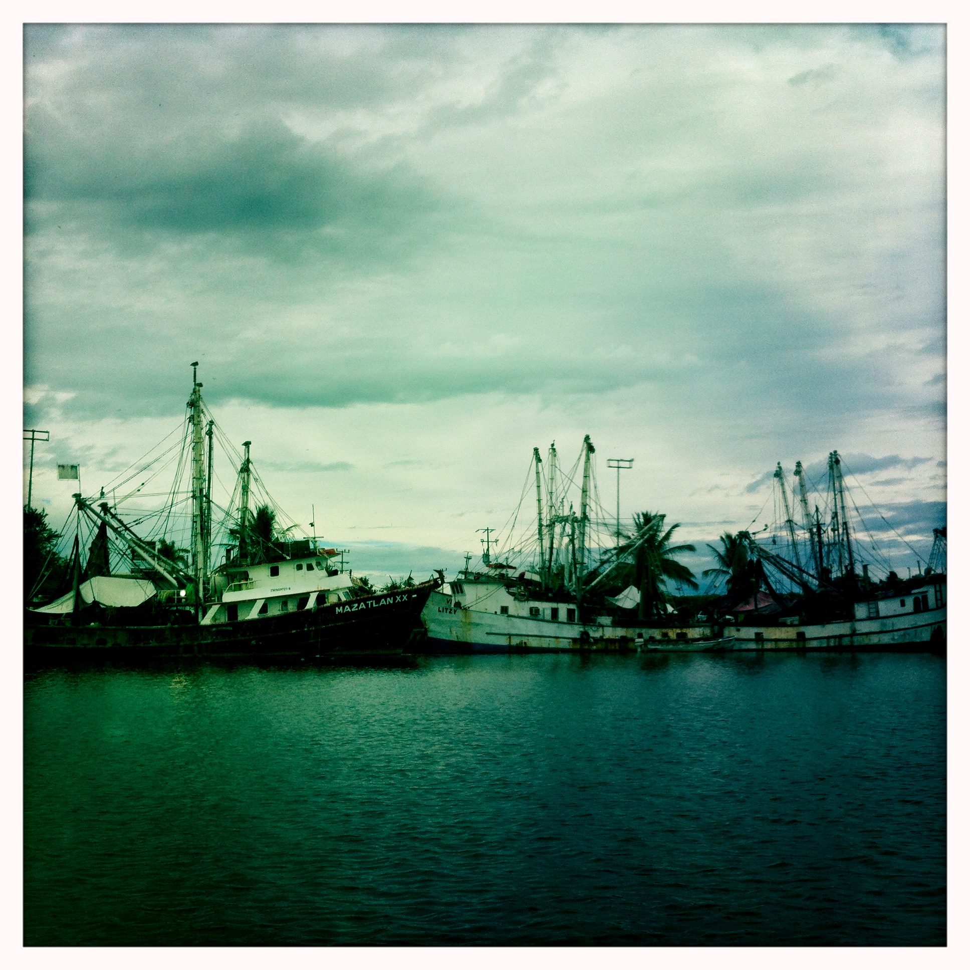
San Blas #mexico #port #sea
KLR 650 Bike Trip Mexico 8
KLR 650 Bike Trip Mexico 13
Topographic Map of San Blas, Nayarit, Mexico
Find elevation by address:

Places in San Blas, Nayarit, Mexico:
Places near San Blas, Nayarit, Mexico:
San Blas
Calle Michoacán 2
3 de Mayo 14, Nayarit, Mexico
Jalcocotán
Av. Juárez 5, Jalcocotán, Nay., Mexico
El Malinal
Playa Destiladeras
México 76, Tepic, Nay., Mexico
Israel
Valle De Nayarit
Puerto Vallarta - Tepic 63, Las Varas, Nay., Mexico
Tepic
Las Varas
Xalisco
Xalisco
Venustiano Carranza
Tepic
Nayarit
Compostela
Santa María Del Oro
Recent Searches:
- Elevation of Corso Fratelli Cairoli, 35, Macerata MC, Italy
- Elevation of Tallevast Rd, Sarasota, FL, USA
- Elevation of 4th St E, Sonoma, CA, USA
- Elevation of Black Hollow Rd, Pennsdale, PA, USA
- Elevation of Oakland Ave, Williamsport, PA, USA
- Elevation of Pedrógão Grande, Portugal
- Elevation of Klee Dr, Martinsburg, WV, USA
- Elevation of Via Roma, Pieranica CR, Italy
- Elevation of Tavkvetili Mountain, Georgia
- Elevation of Hartfords Bluff Cir, Mt Pleasant, SC, USA