Elevation of 3 de Mayo 14, Nayarit, Mexico
Location: Mexico > Nayarit >
Longitude: -105.19834
Latitude: 21.4328087
Elevation: 14m / 46feet
Barometric Pressure: 101KPa
Elevation Map:
Satellite Map:
Related Photos:

Templo La Marinera, Patrona de los pescadores

Ruinas del Templo La Marinera, San Blas
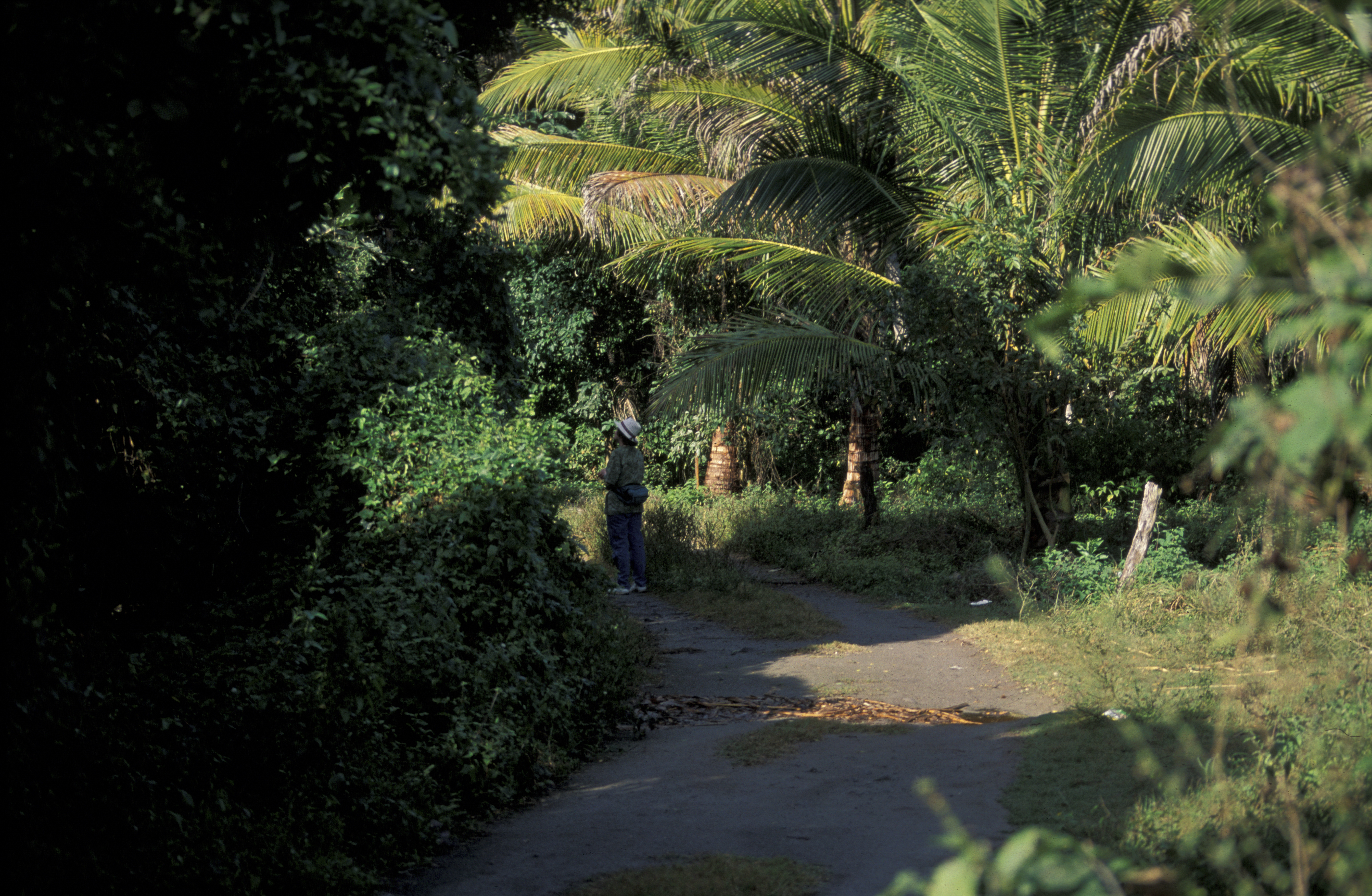
forest, Sharon Lawler, San Blas, MX 1997_03_20.jpg
Playa Los Cocos - Nayarit, México

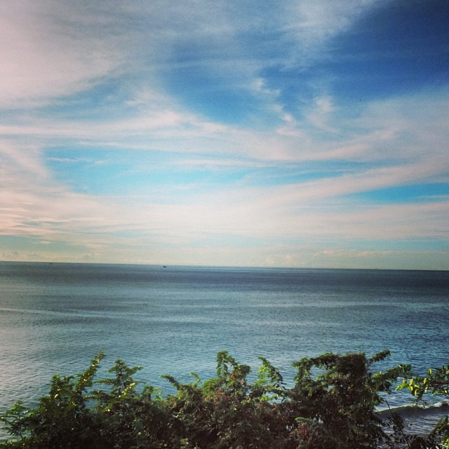
ocean view
San Blas, Nayarit
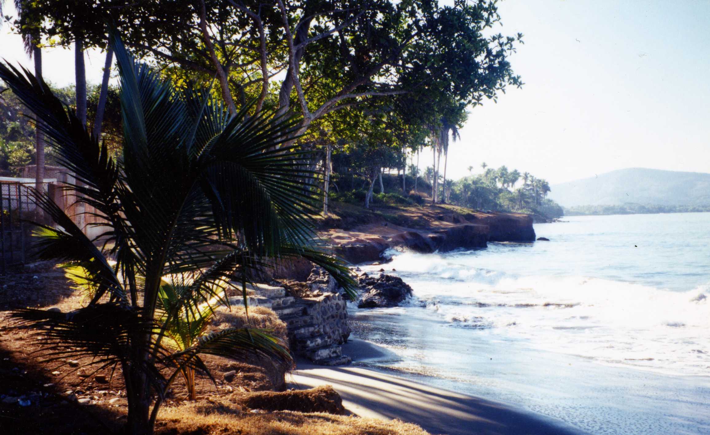
man lying in hut, sea front, Matanchen, MX, 1997_03_20 001.jpg
San Blas, Nayarit
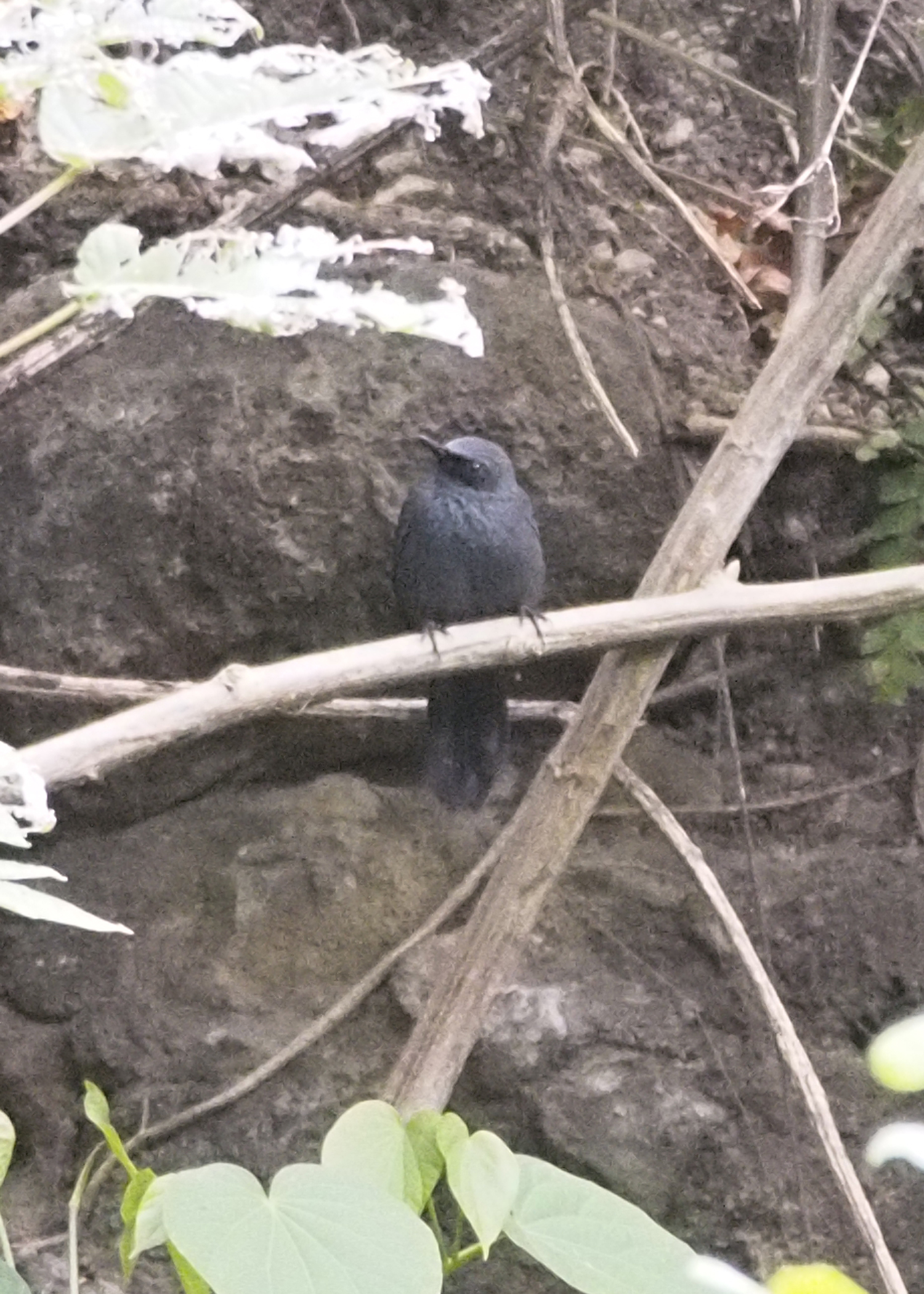
Blue Mockingbird 2216988pr
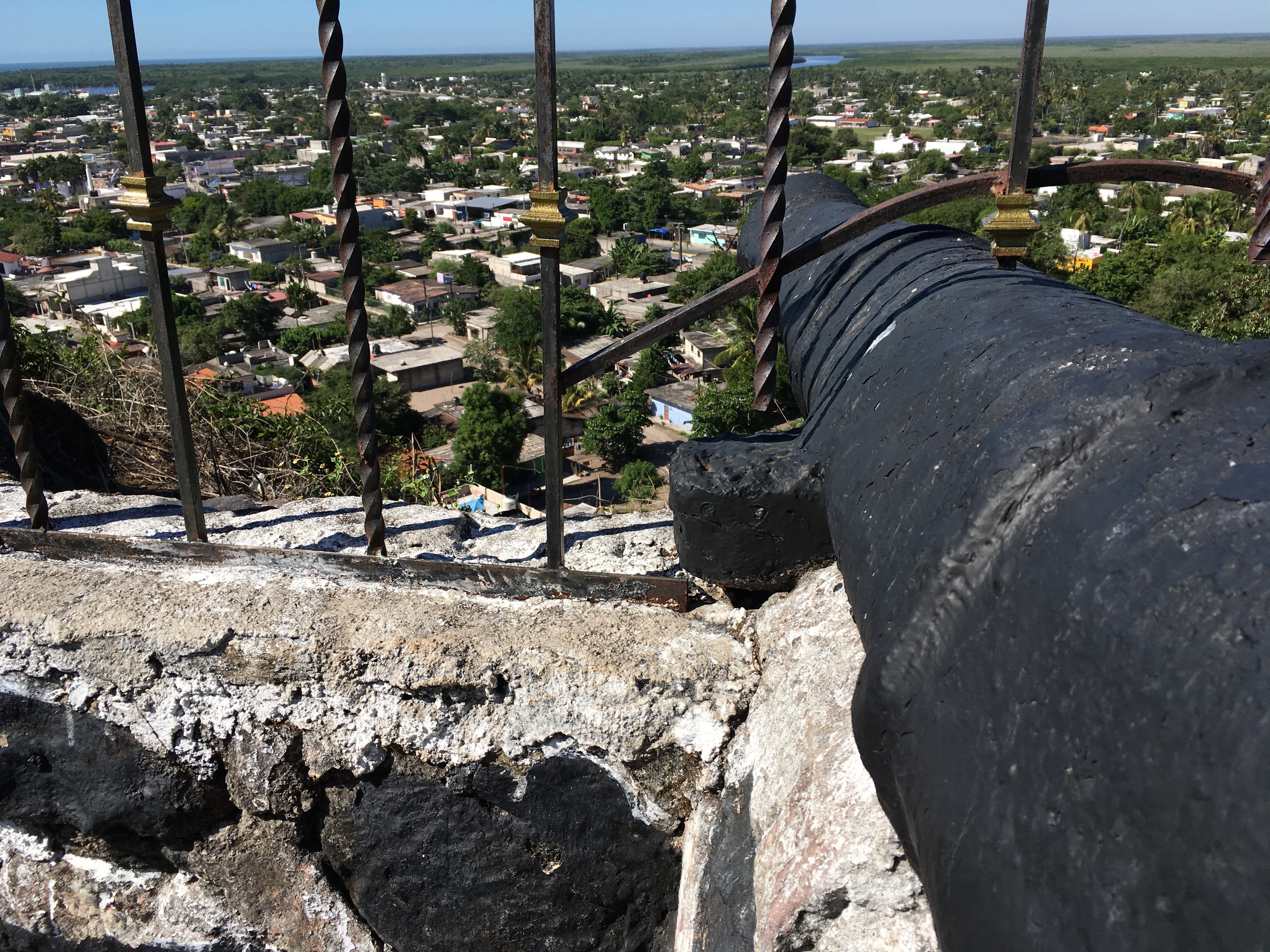
Canon Eye View
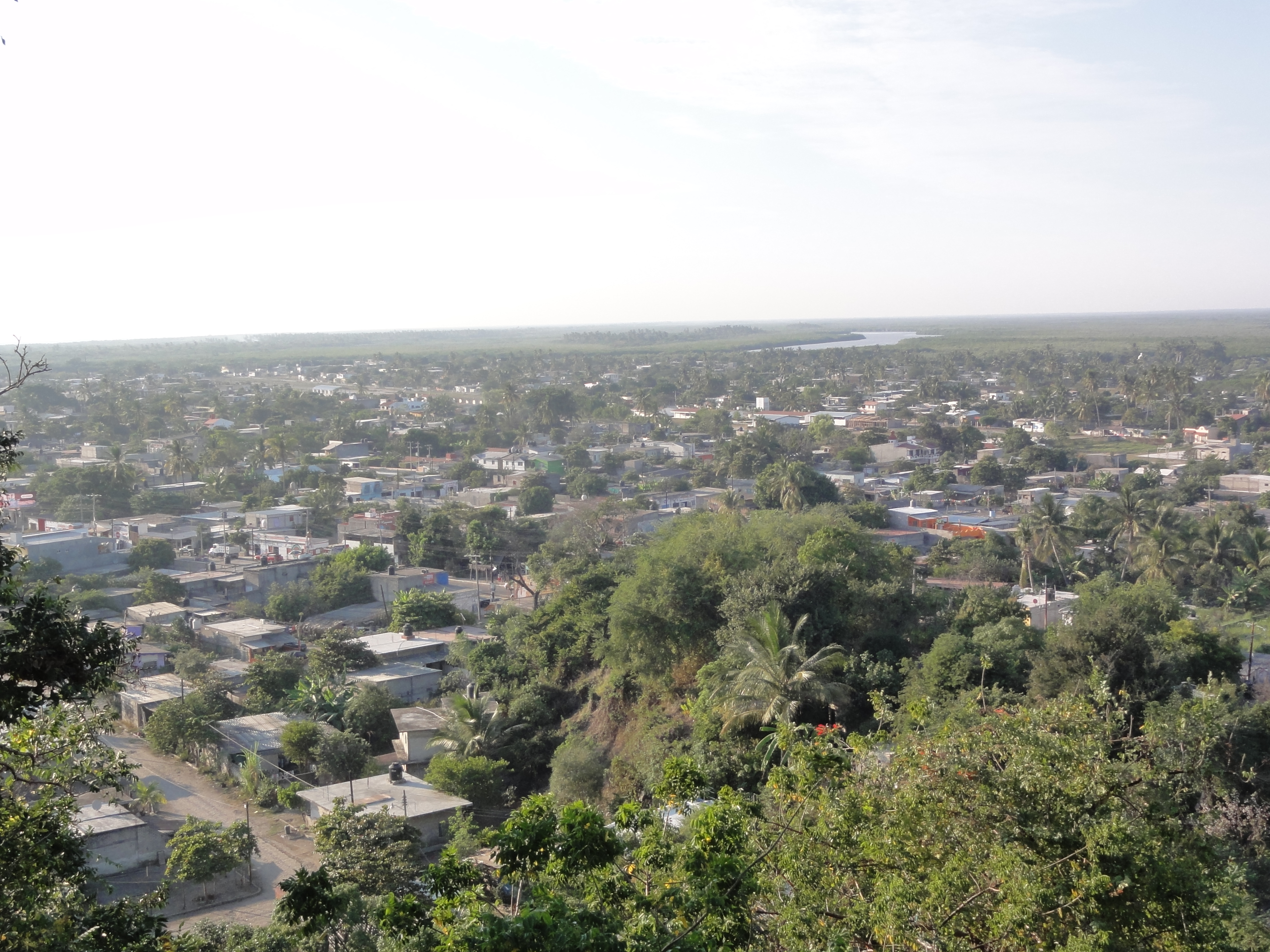
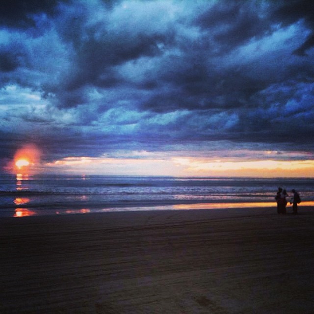
San Blas, Nayarit
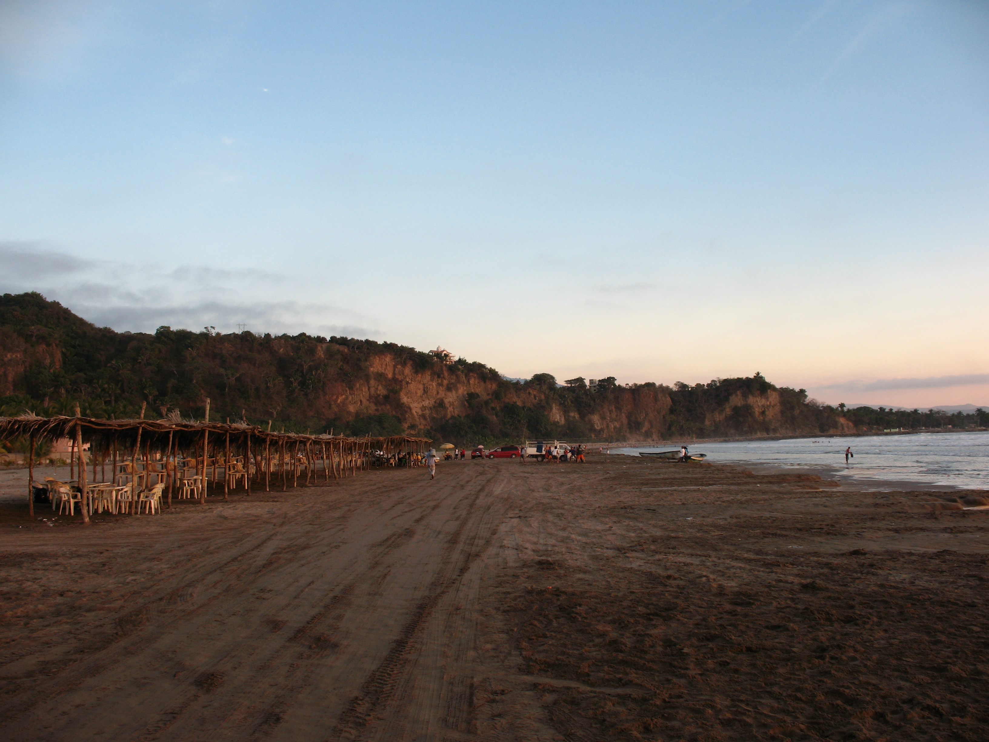
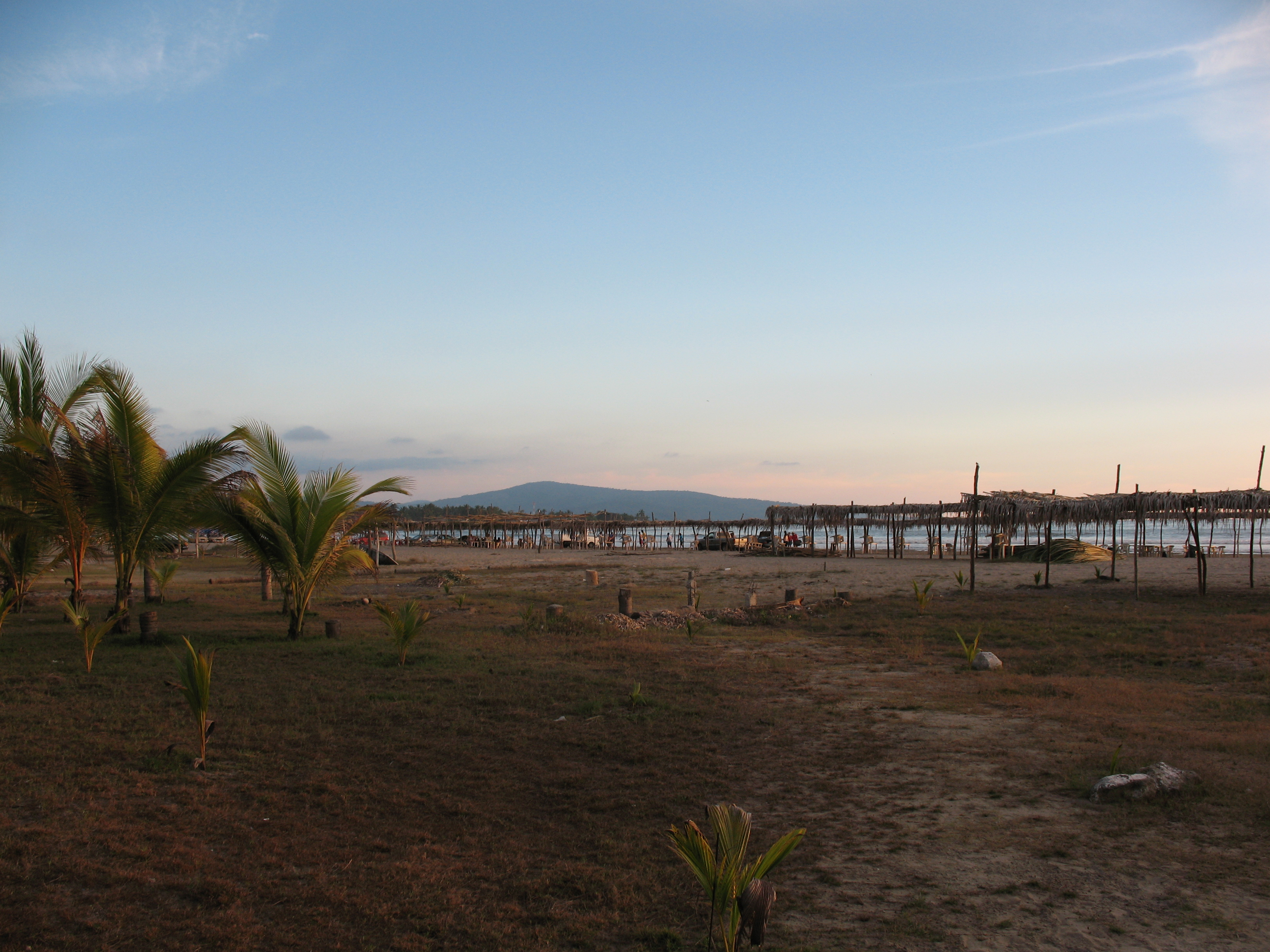
Playa Matanchen

Playa Matanchen

Ruta ciclismo de montaña Tepic - El Cuarenteño - Miramar

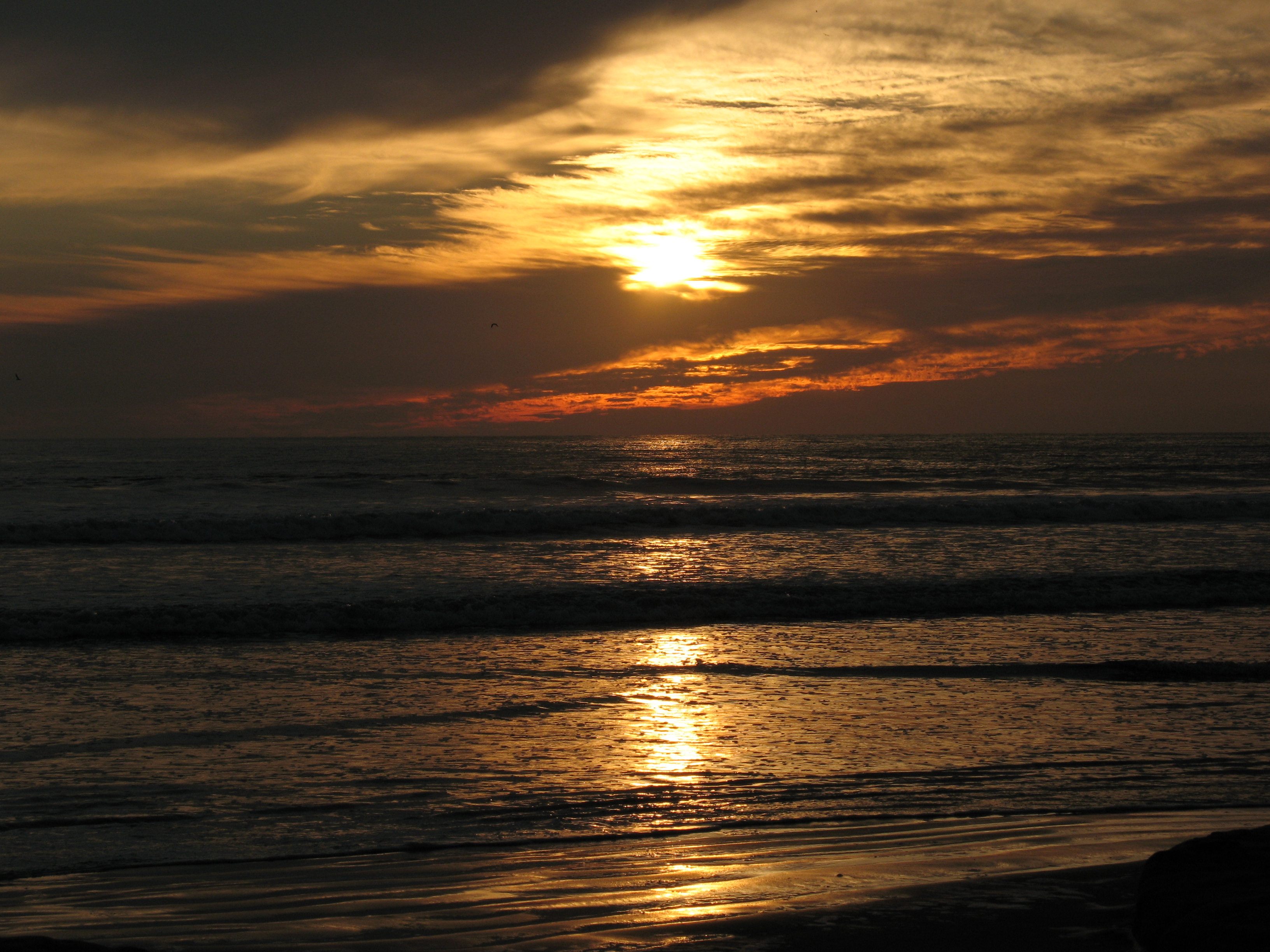
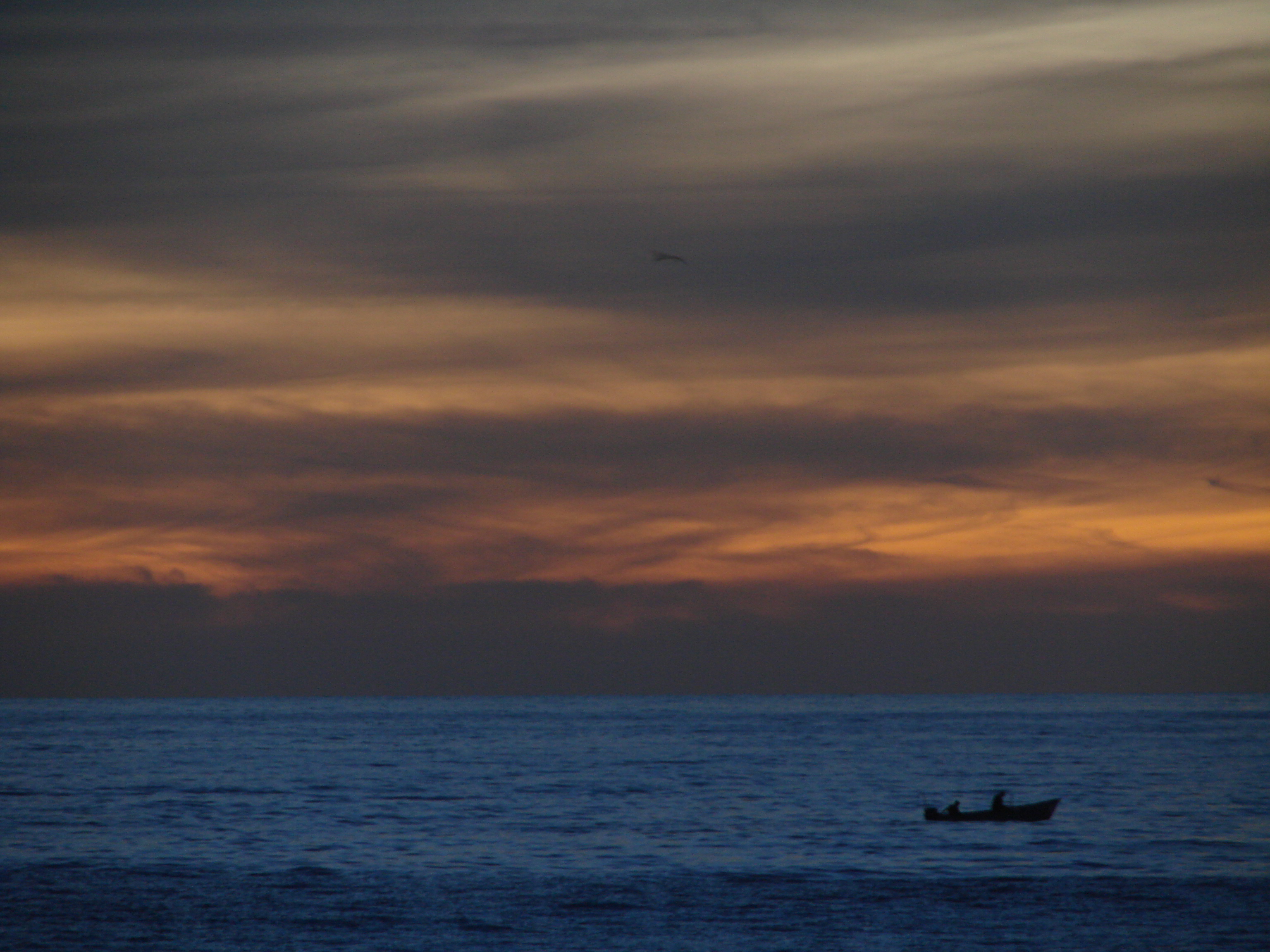
Atardecer en Aticama
Playa Matanchen
Playa Matanchen
Buen fin

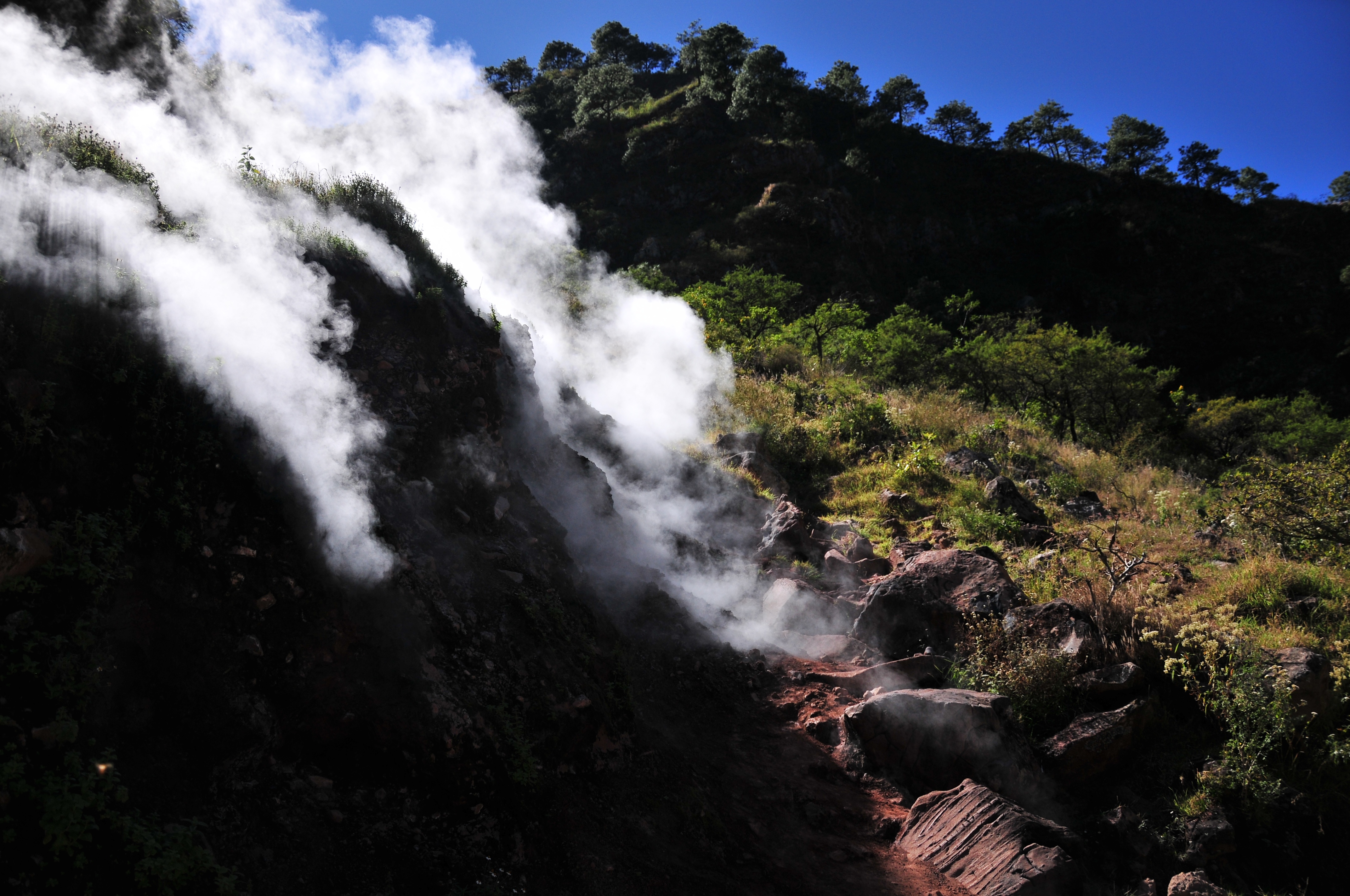
El Cora Falls #waterfall #nayarit #pondhunter
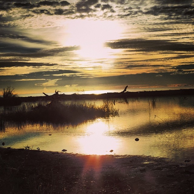
Es tarde ya
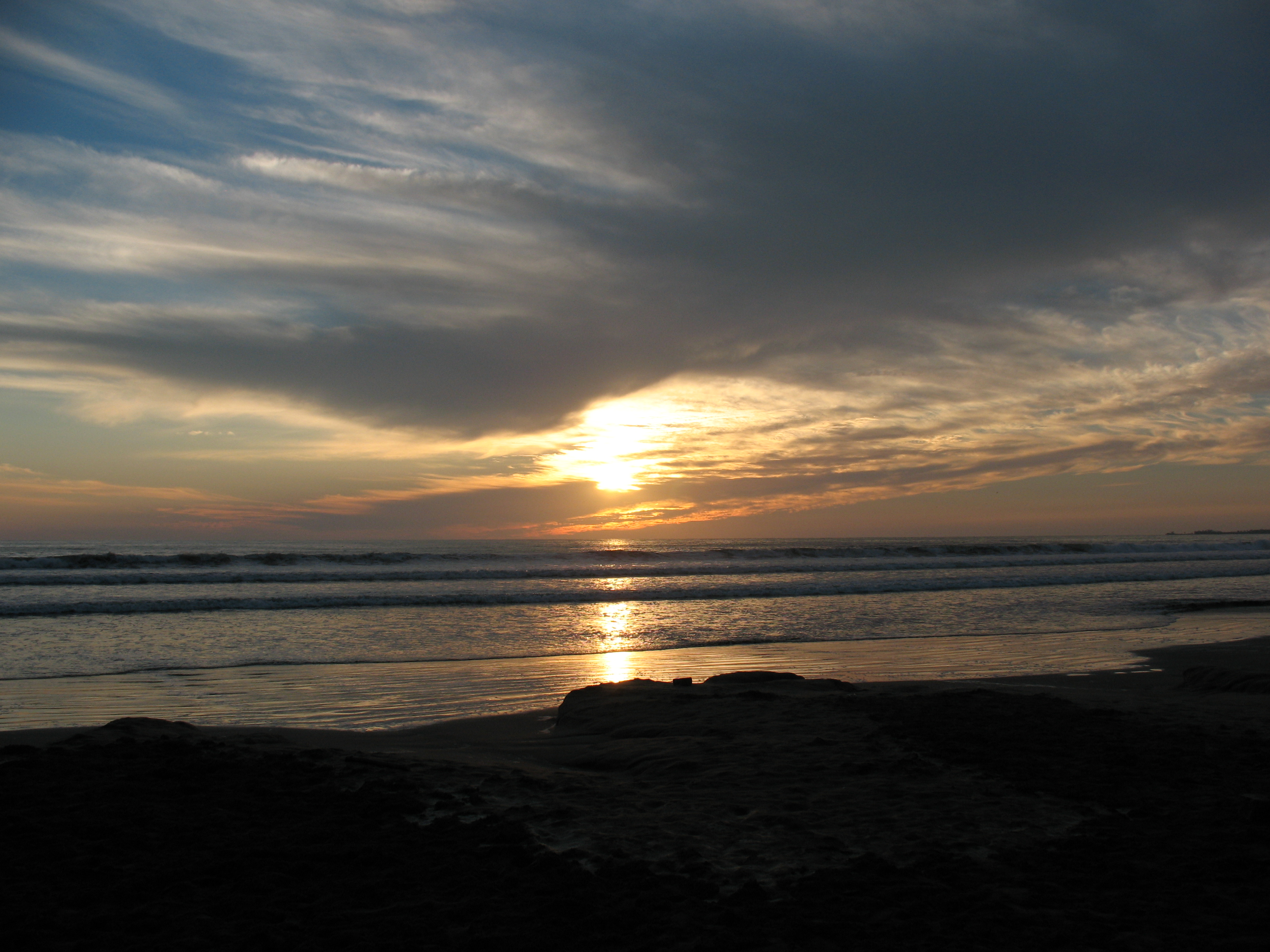
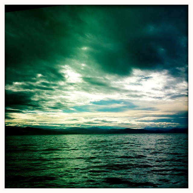
Green & blue
San Blas, Nayarit #sea #sky #mexico
KLR 650 Bike Trip Mexico 5
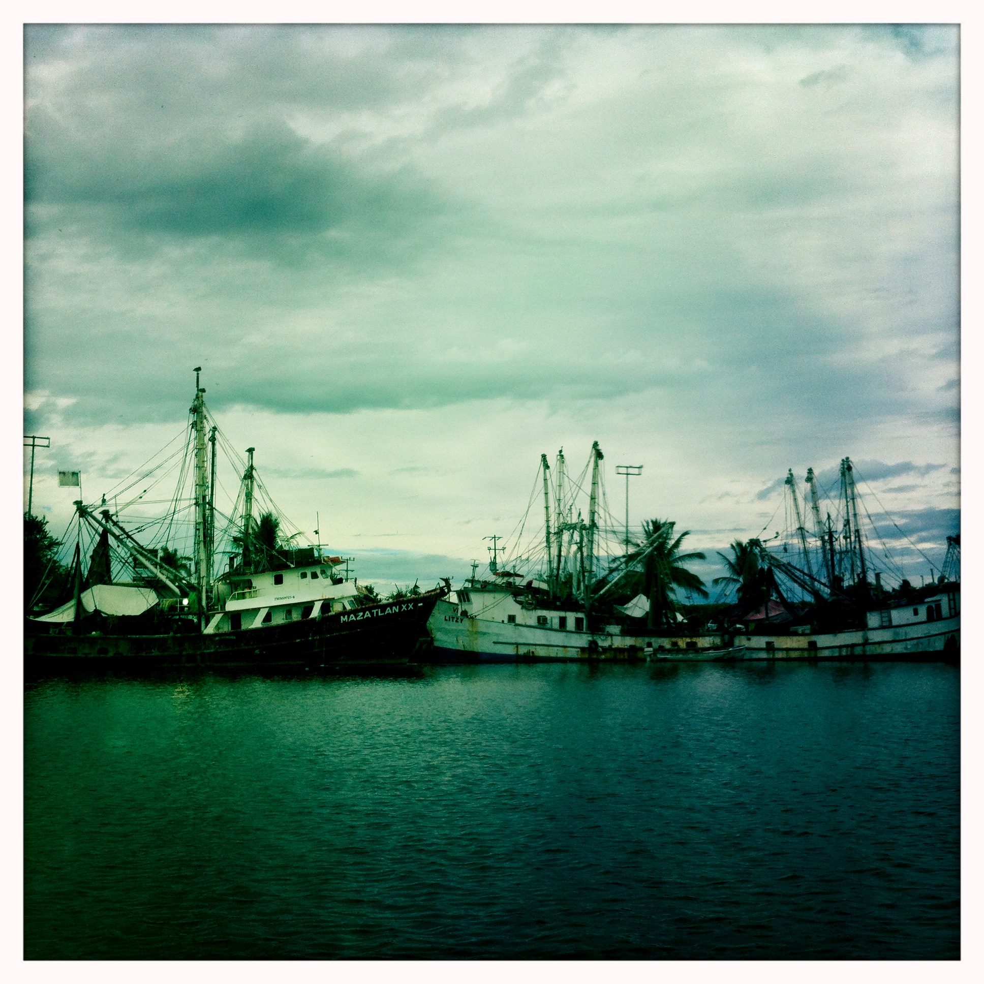
San Blas #mexico #port #sea
KLR 650 Bike Trip Mexico 8
De regreso. San Blas
Playa Matanchen
KLR 650 Bike Trip Mexico 13

Sayulita Diciembre 2012

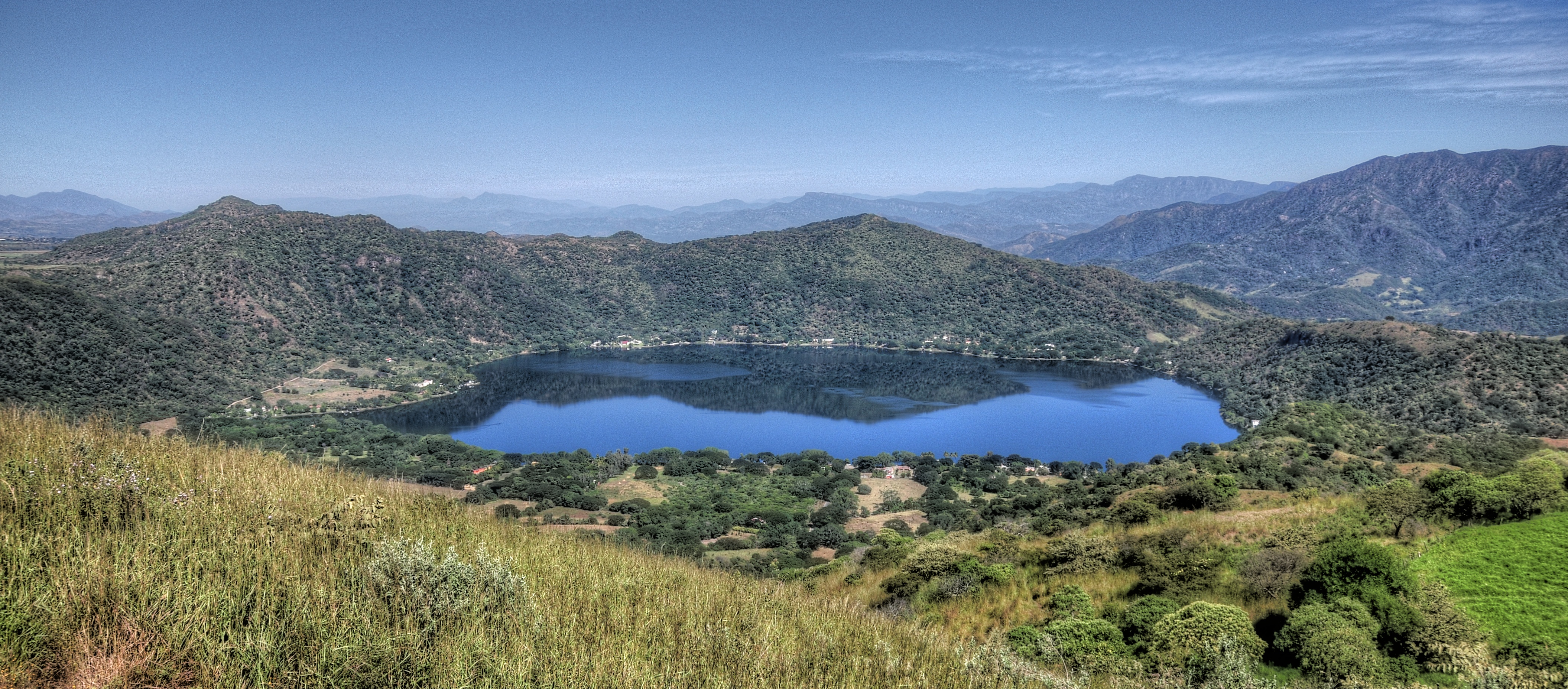
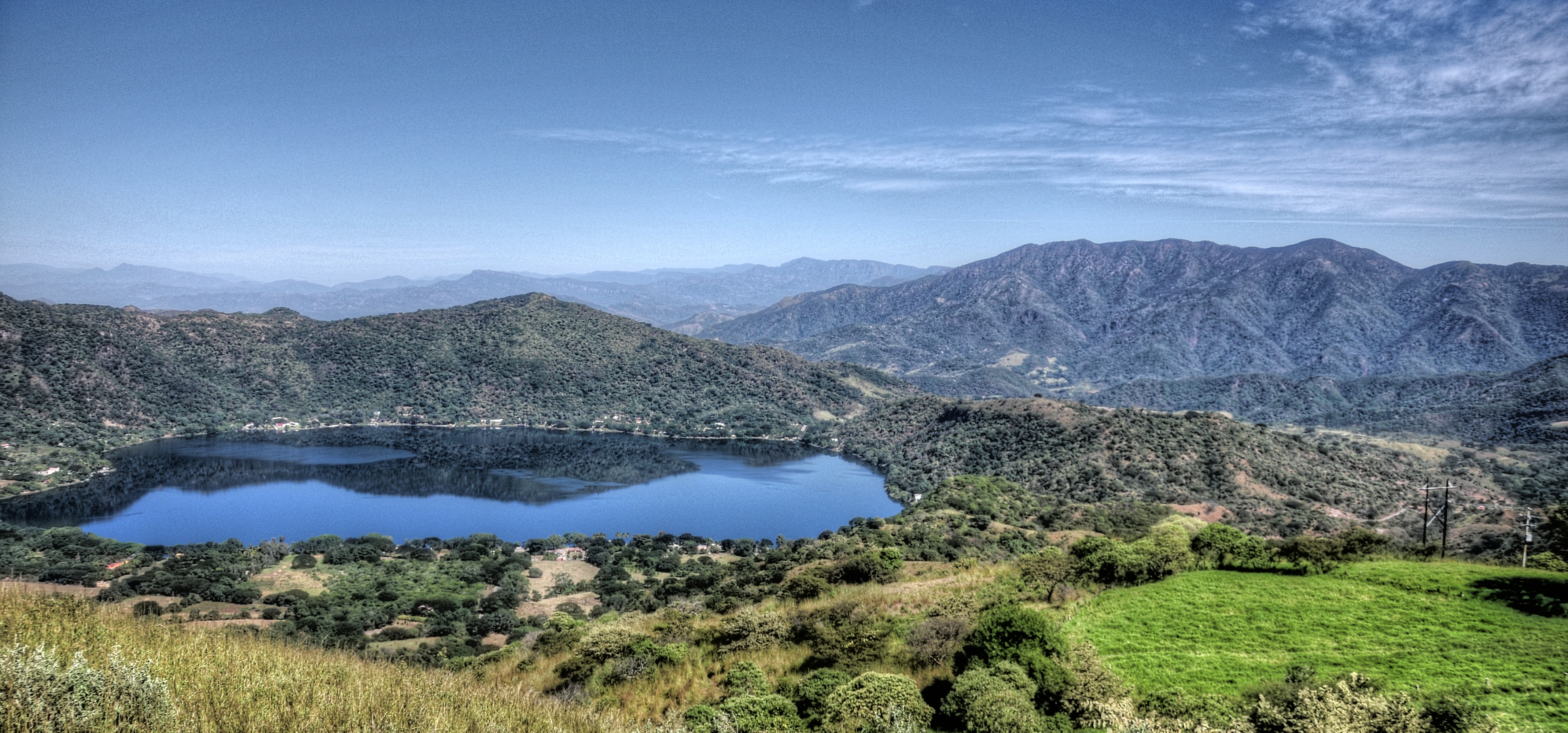
Bahia Matanchen
Topographic Map of 3 de Mayo 14, Nayarit, Mexico
Find elevation by address:

Places near 3 de Mayo 14, Nayarit, Mexico:
Jalcocotán
Av. Juárez 5, Jalcocotán, Nay., Mexico
Calle Michoacán 2
San Blas
San Blas
El Malinal
Playa Destiladeras
Puerto Vallarta - Tepic 63, Las Varas, Nay., Mexico
Las Varas
México 76, Tepic, Nay., Mexico
Valle De Nayarit
Israel
Xalisco
Xalisco
Tepic
Tepic
Venustiano Carranza
Compostela
Nayarit
Chapalilla
Recent Searches:
- Elevation of Tenjo, Cundinamarca, Colombia
- Elevation of Côte-des-Neiges, Montreal, QC H4A 3J6, Canada
- Elevation of Bobcat Dr, Helena, MT, USA
- Elevation of Zu den Ihlowbergen, Althüttendorf, Germany
- Elevation of Badaber, Peshawar, Khyber Pakhtunkhwa, Pakistan
- Elevation of SE Heron Loop, Lincoln City, OR, USA
- Elevation of Slanický ostrov, 01 Námestovo, Slovakia
- Elevation of Spaceport America, Co Rd A, Truth or Consequences, NM, USA
- Elevation of Warwick, RI, USA
- Elevation of Fern Rd, Whitmore, CA, USA