Elevation of San Blas Islands, Panama
Location: Panama >
Longitude: -78.787201
Latitude: 9.5703192
Elevation: -20m / -66feet
Barometric Pressure: 102KPa
Elevation Map:
Satellite Map:
Related Photos:

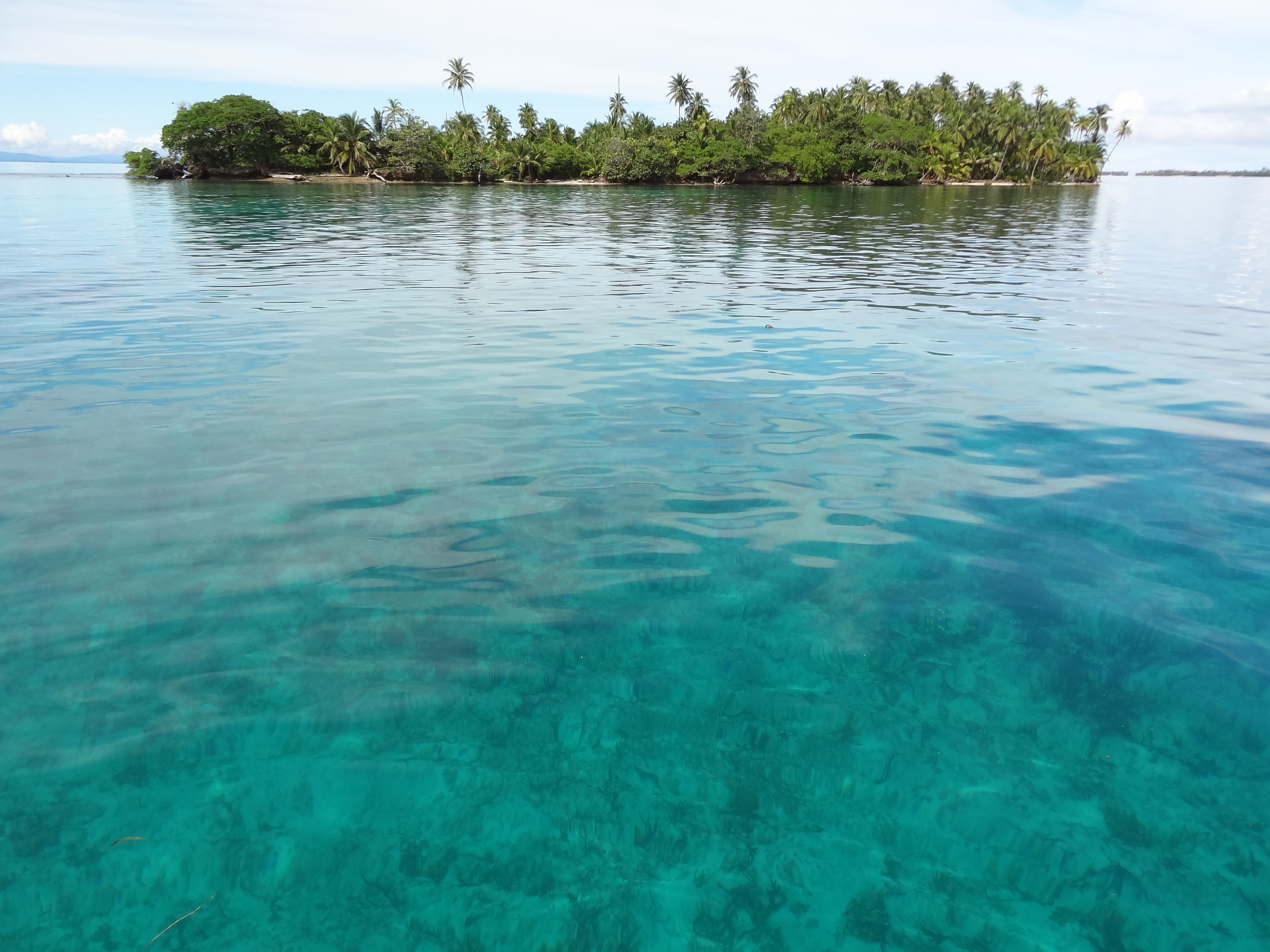
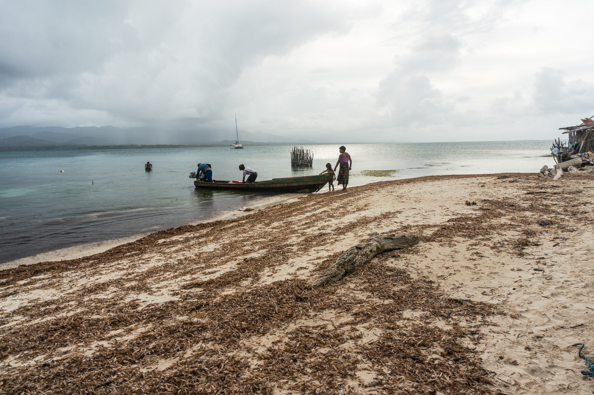
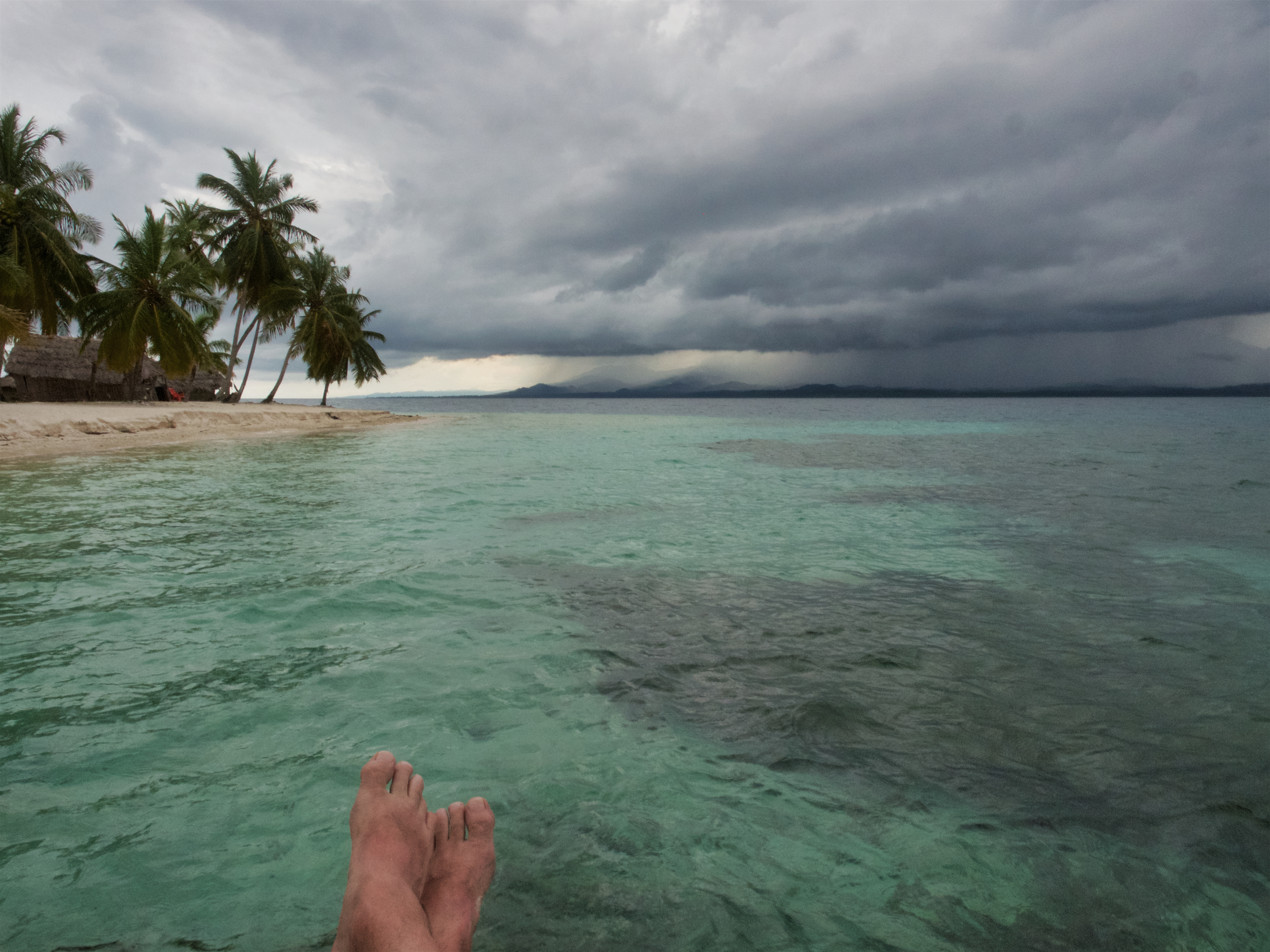
Island view from the first mooring
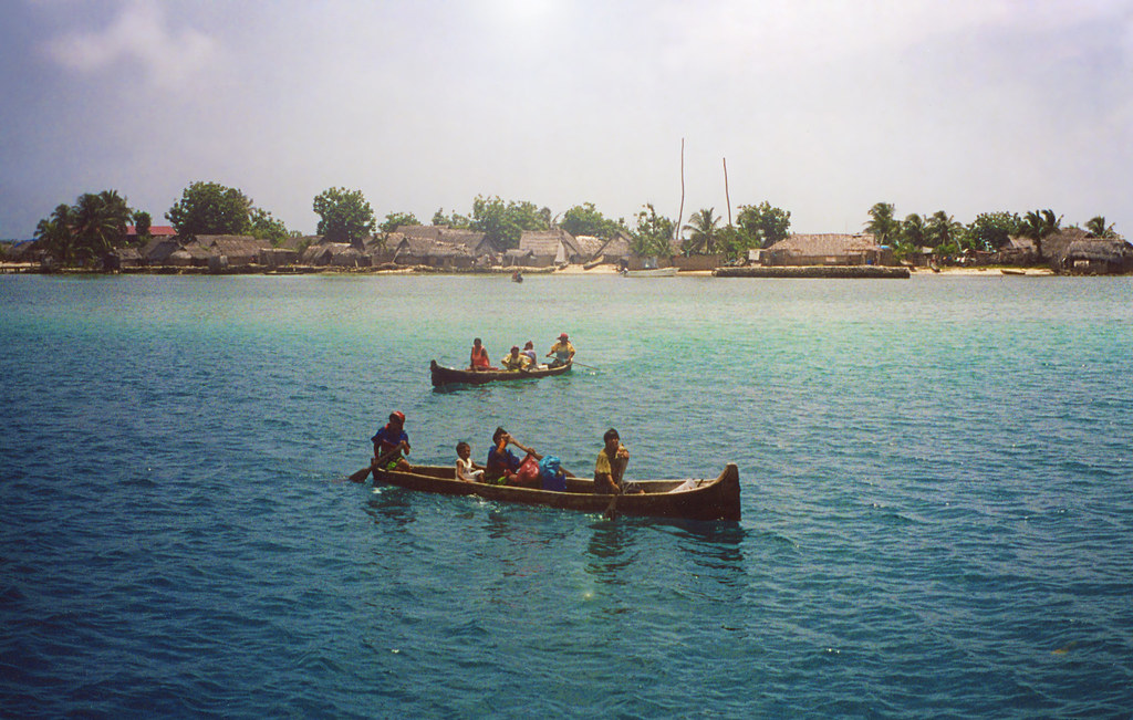
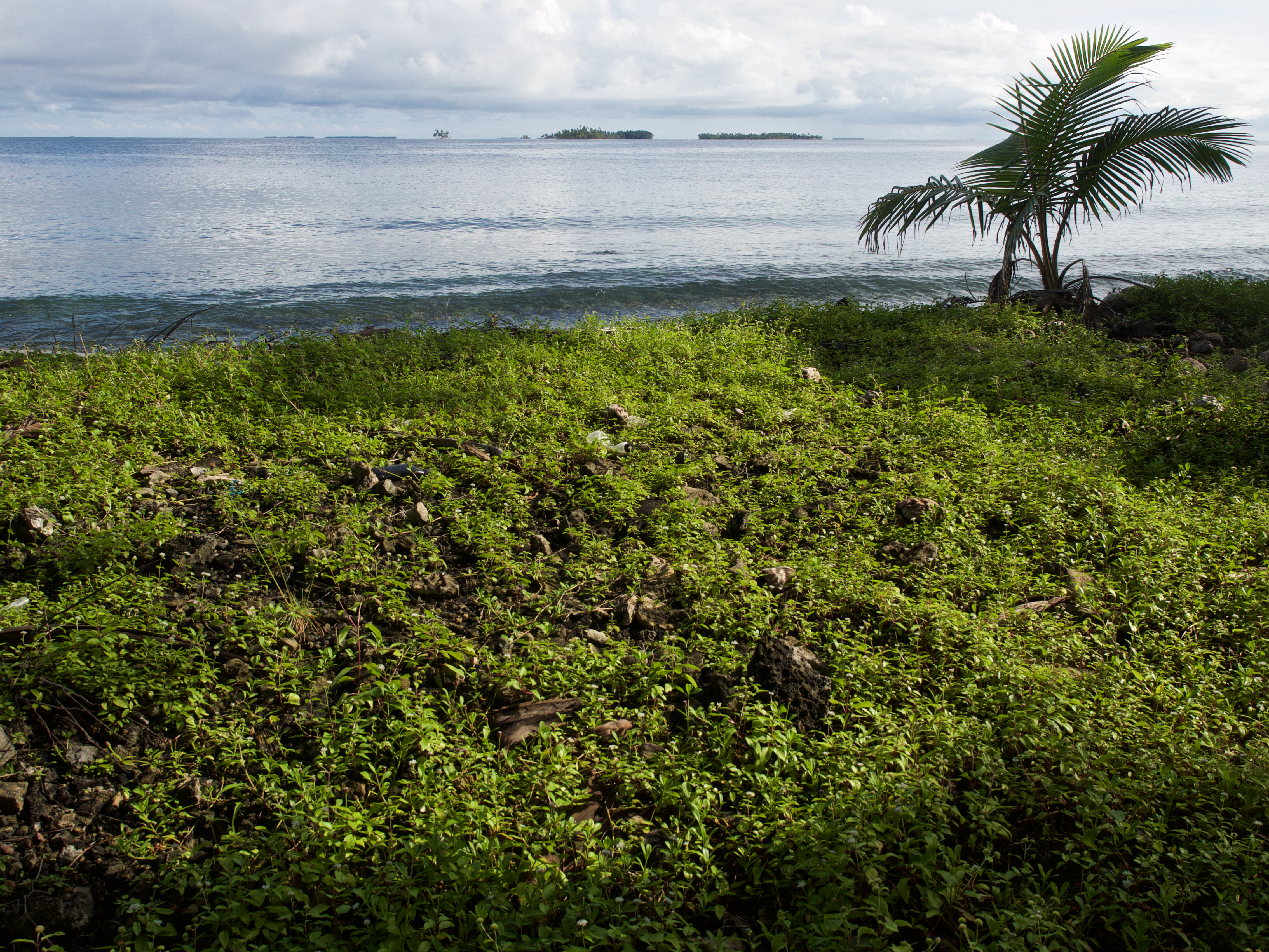
View from the boat
Welcoming Committee, Panama
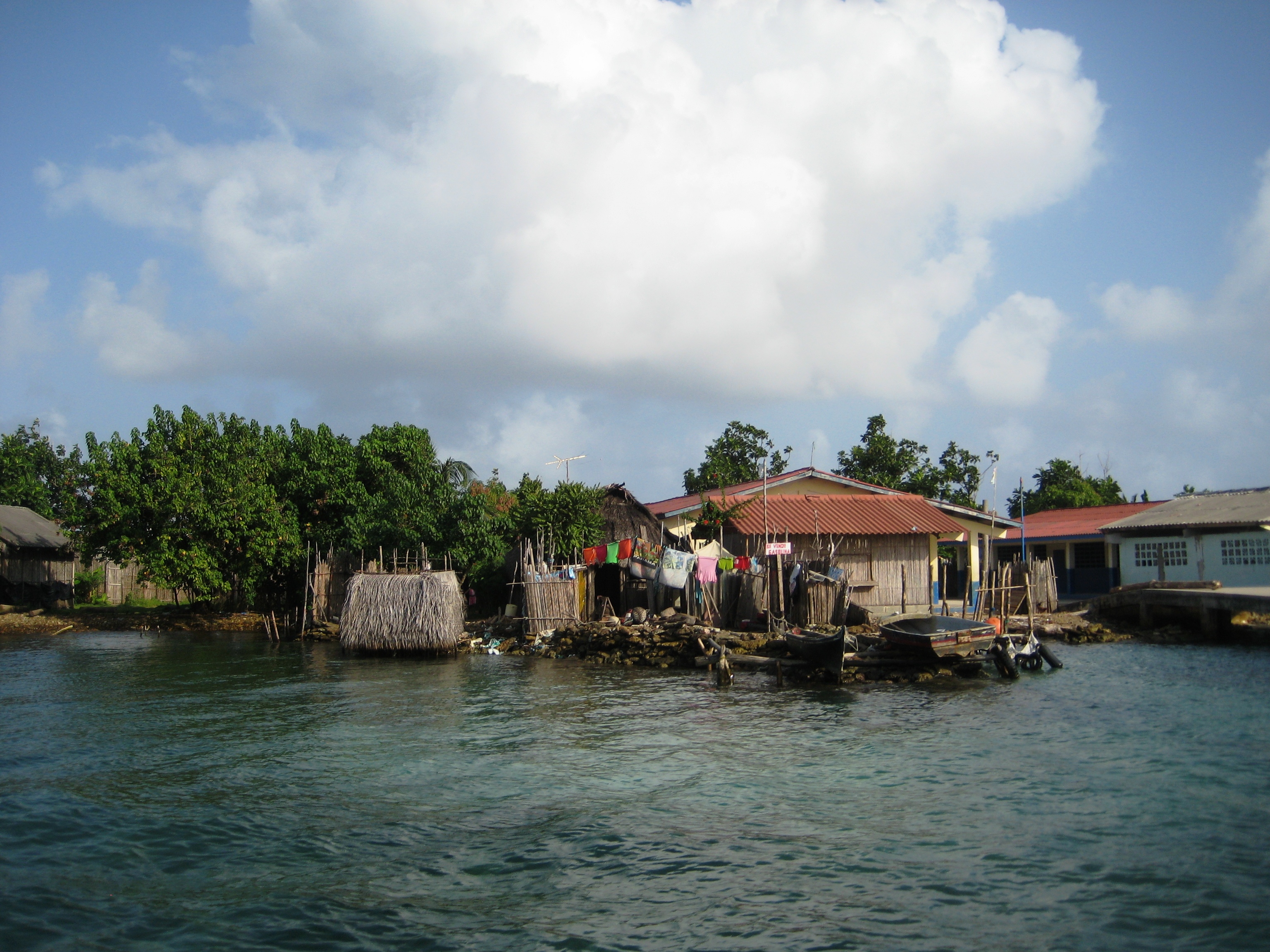
Kuna Indians
Naúfrago
4:41 PM

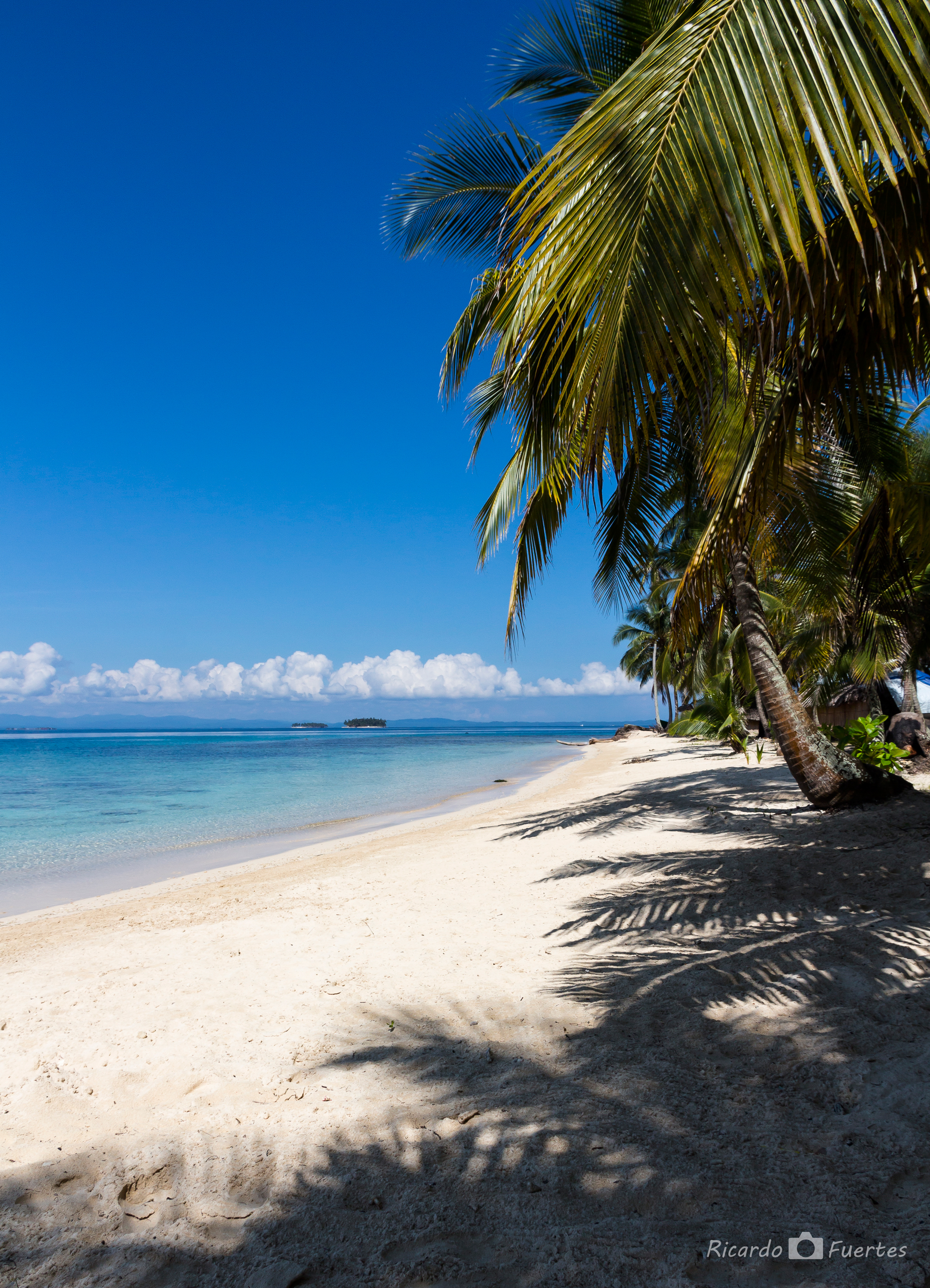
Paraíso
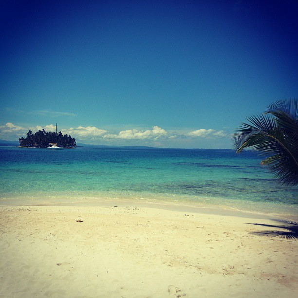
Paraíso!!

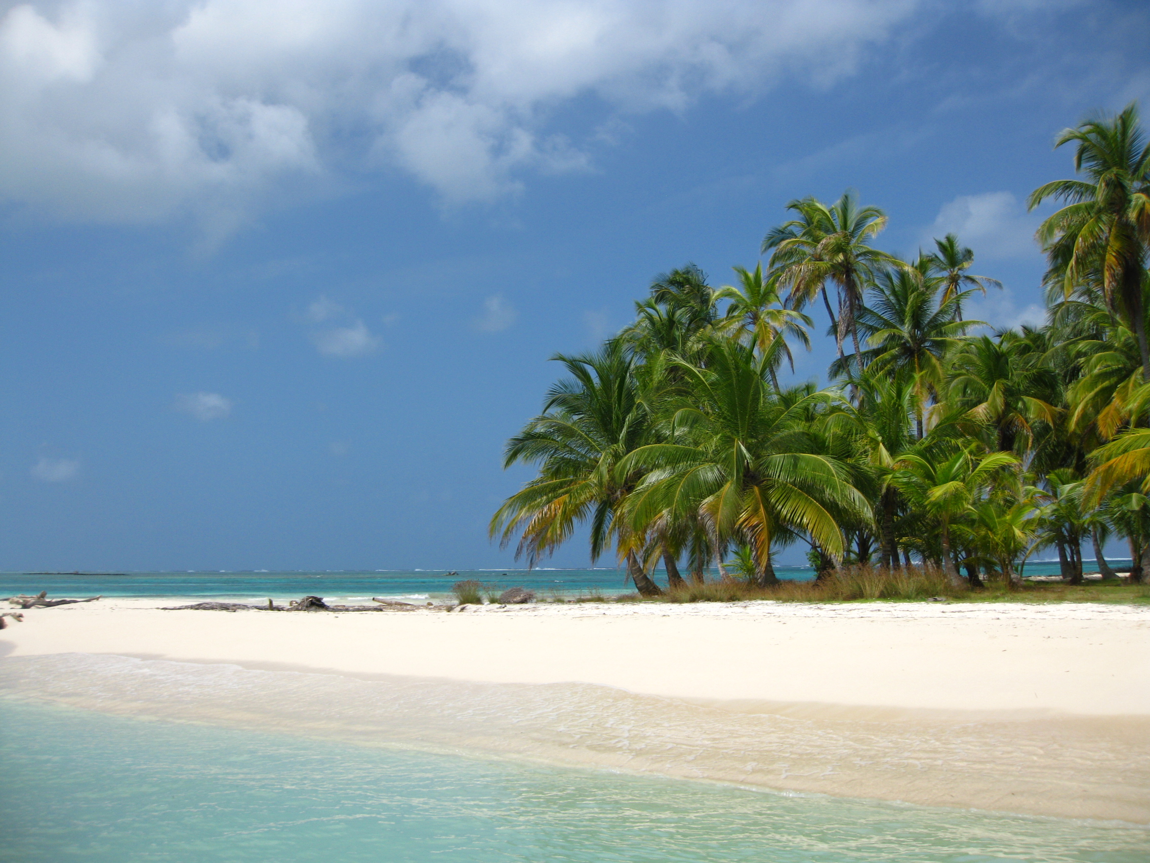
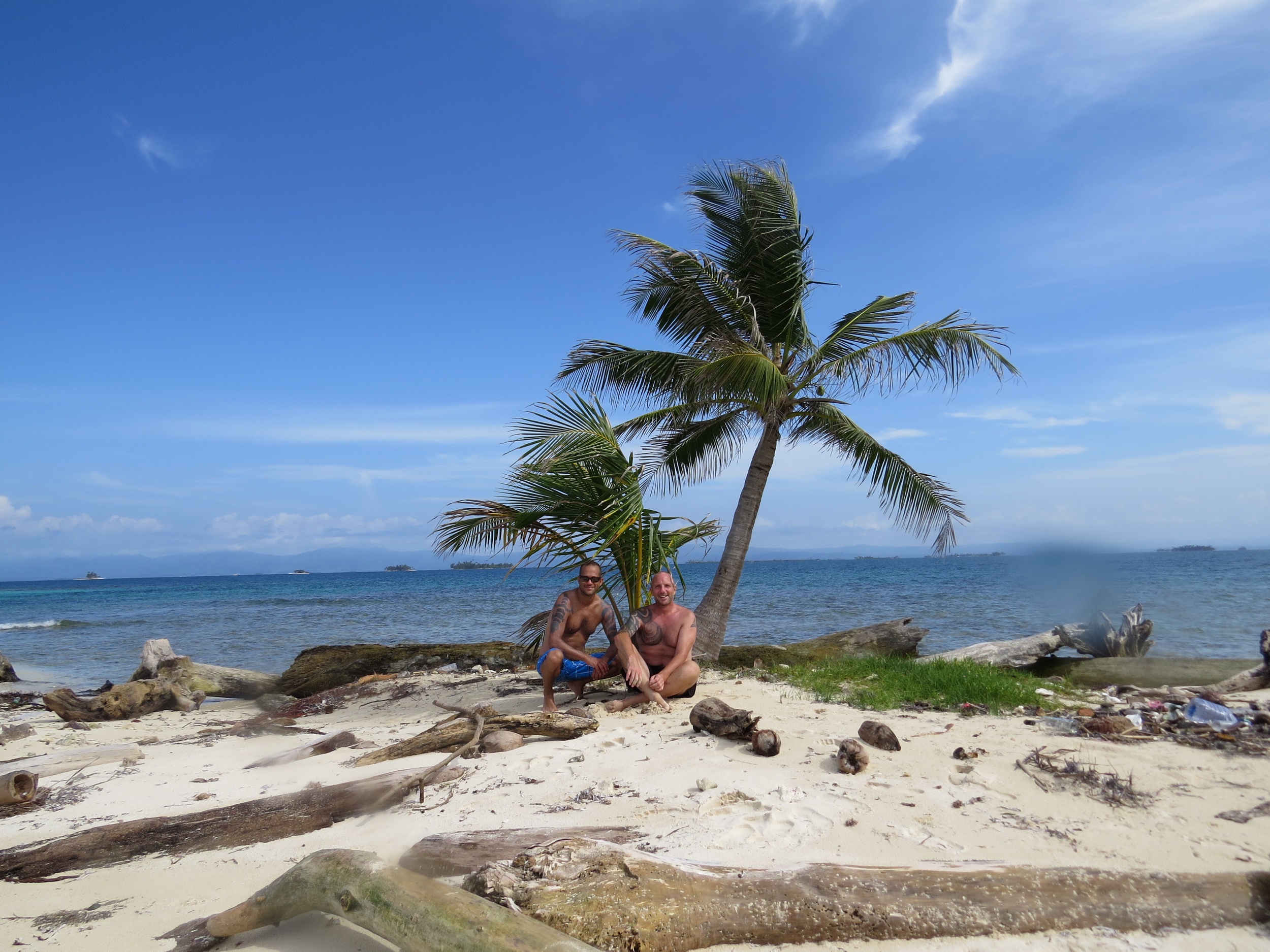
San Blas Islands Panama
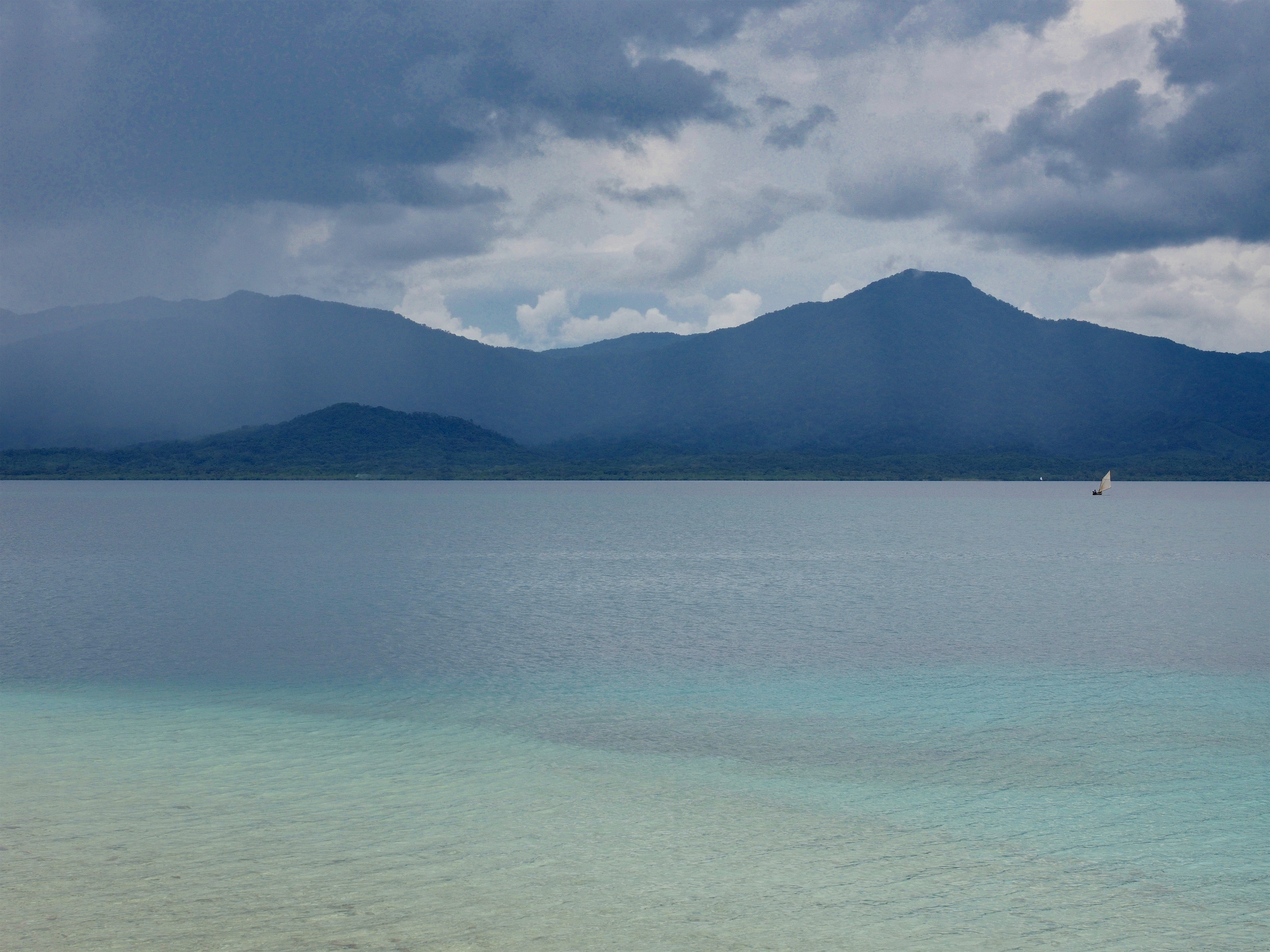
Panama 10/2018
Panama 10/2018
Panama 10/2018
Panama 10/2018

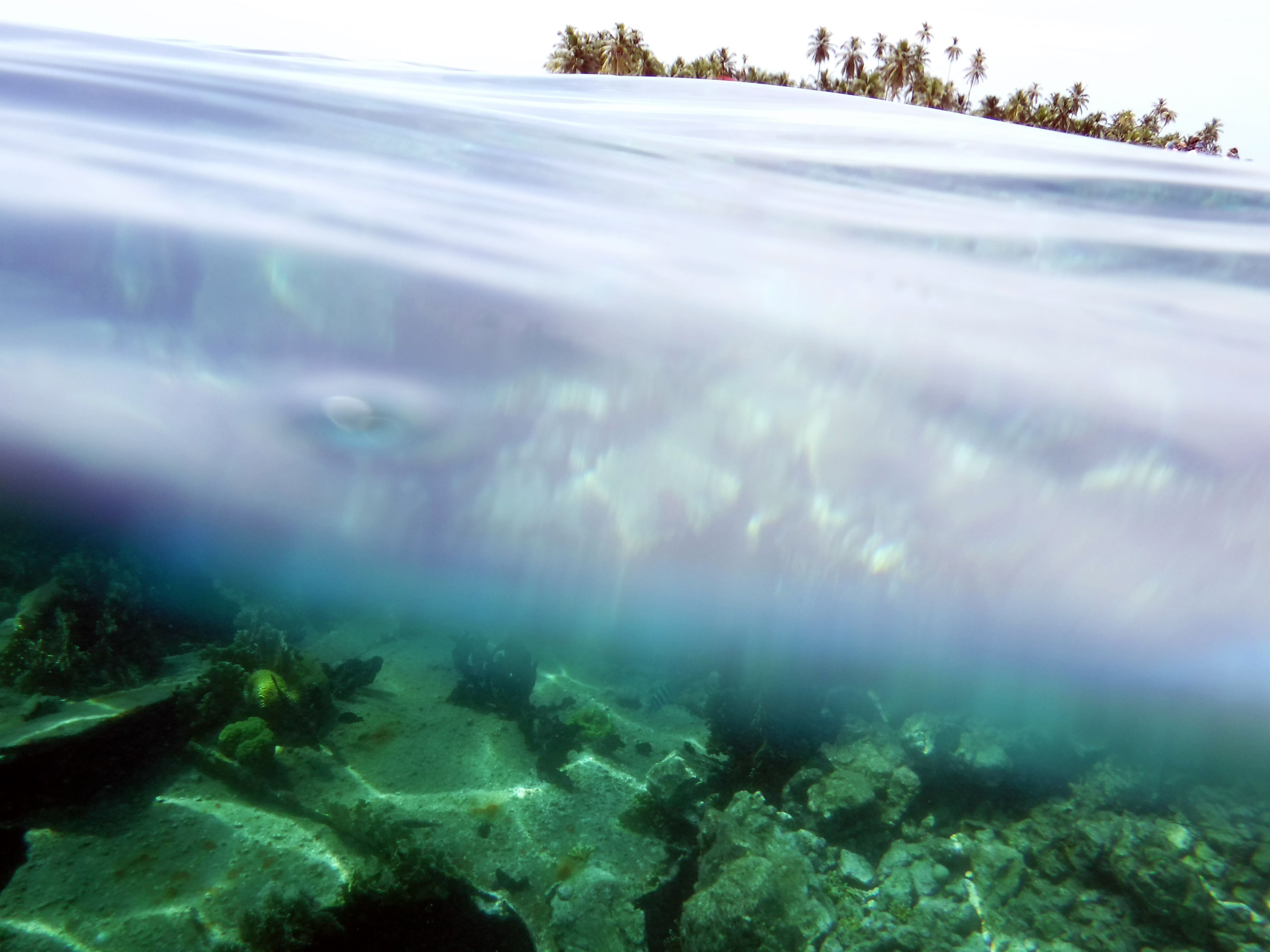
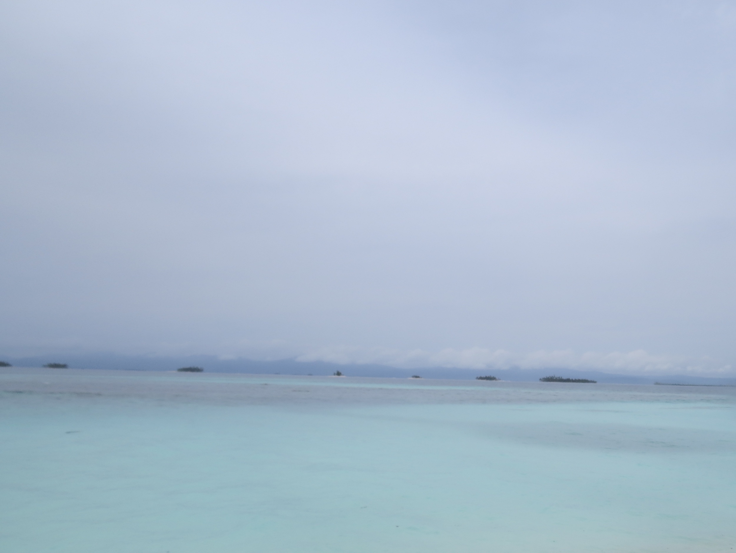
Guna Yala - San Blas
Trip to Barbeque Island

IMG_1004.JPG

San Blas (Kuana Yala)
IMG_0870.JPG
IMG_0903.JPG

IMG_0893.JPG

San Blas (Kuana Yala)

Kuna Indians
Topographic Map of San Blas Islands, Panama
Find elevation by address:

Places near San Blas Islands, Panama:
El Llano
Chepo
Paso Blanco
Unnamed Road
Cerro Jefe
Panama
Avenida Principal Altos De Tataré
Altos De Tatare
Pacora
Cerro Azul
Panama
Tocumen
Hospital De La 24 De Diciembre
Panama City
Las Mañanitas
Pedregal
Almirante
Baseball Park Brisas Del Golf
Escuela Nuevo Progreso
Lake Alajuela
Recent Searches:
- Elevation of Lytham Ln, Katy, TX, USA
- Elevation of Tater Hill, Oklahoma, USA
- Elevation of NY-, Friendship, NY, USA
- Elevation of 64 Danakas Dr, Winnipeg, MB R2C 5N7, Canada
- Elevation of 4 Vale Rd, Sheffield S3 9QX, UK
- Elevation of Keene Point Drive, Keene Point Dr, Grant, AL, USA
- Elevation of State St, Zanesville, OH, USA
- Elevation of Austin Stone Dr, Haslet, TX, USA
- Elevation of Bydgoszcz, Poland
- Elevation of Bydgoszcz, Poland