Elevation of Paso Blanco, Panama
Location: Panama > Panama > Panama > Pacora >
Longitude: -79.250753
Latitude: 9.1239567
Elevation: 32m / 105feet
Barometric Pressure: 101KPa
Elevation Map:
Satellite Map:
Related Photos:

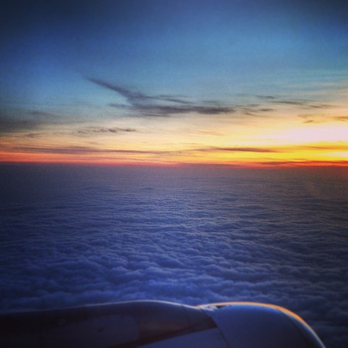
My only view of Panama

#panama #lameza #panamacity #countryside
D visita por la tierrita

*.*

Hello 2015! Llanera music, cachapas, carne en vara & more Venezuelan food!

Cerro Azul

Cerro Azul

Cerro Azul
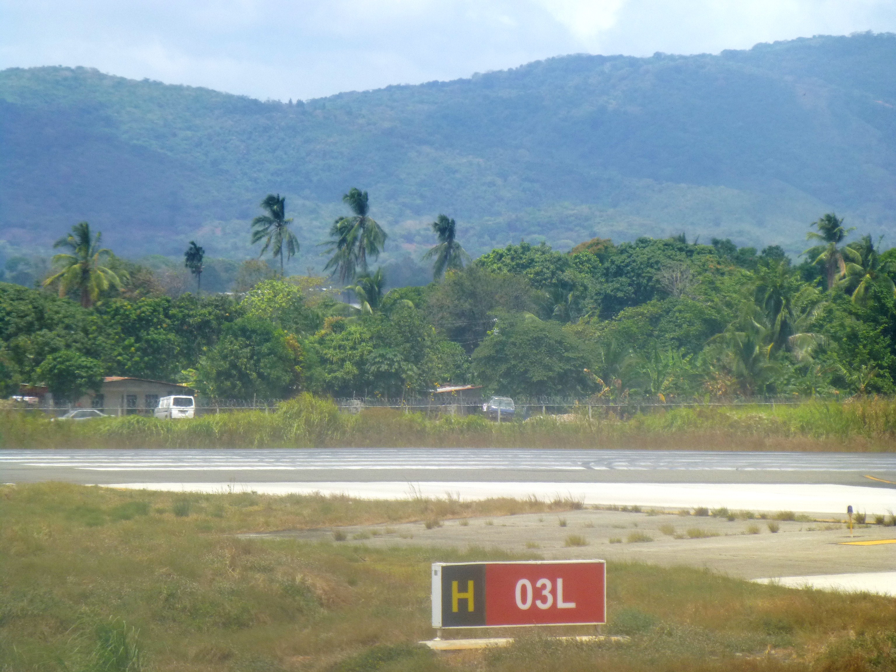
Tocumen International Airport
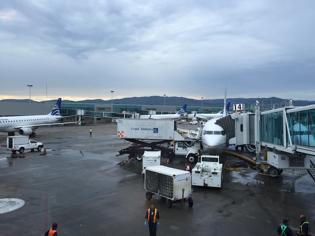
Panama Airport
Topographic Map of Paso Blanco, Panama
Find elevation by address:

Places in Paso Blanco, Panama:
Places near Paso Blanco, Panama:
Panama
Avenida Principal Altos De Tataré
Altos De Tatare
Pacora
Tocumen
Hospital De La 24 De Diciembre
Cerro Jefe
Chepo
Panama City
Unnamed Road
Las Mañanitas
Panama
Cerro Azul
Pedregal
Baseball Park Brisas Del Golf
Town Center Costa Del Este
Costa Del Este
Escuela Nuevo Progreso
Ph Deby #23
Amelia Denis De Icaza
Recent Searches:
- Elevation of Corcoran Ln, Suffolk, VA, USA
- Elevation of Mamala II, Sariaya, Quezon, Philippines
- Elevation of Sarangdanda, Nepal
- Elevation of 7 Waterfall Way, Tomball, TX, USA
- Elevation of SW 57th Ave, Portland, OR, USA
- Elevation of Crocker Dr, Vacaville, CA, USA
- Elevation of Pu Ngaol Community Meeting Hall, HWHM+3X7, Krong Saen Monourom, Cambodia
- Elevation of Royal Ontario Museum, Queens Park, Toronto, ON M5S 2C6, Canada
- Elevation of Groblershoop, South Africa
- Elevation of Power Generation Enterprises | Industrial Diesel Generators, Oak Ave, Canyon Country, CA, USA