Elevation of Sam Dye Rd, Blairsville, GA, USA
Location: United States > Georgia > Union County > Blairsville >
Longitude: -83.993573
Latitude: 34.9668822
Elevation: 631m / 2070feet
Barometric Pressure: 94KPa
Elevation Map:
Satellite Map:
Related Photos:
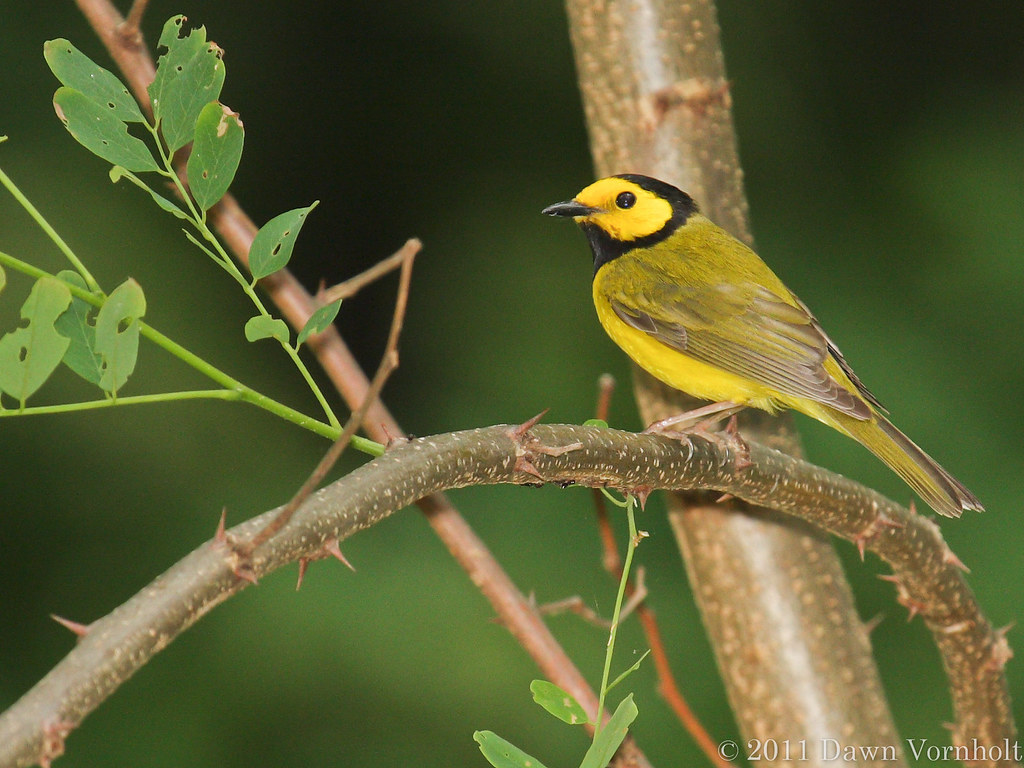
Hooded warbler
Anniversary View
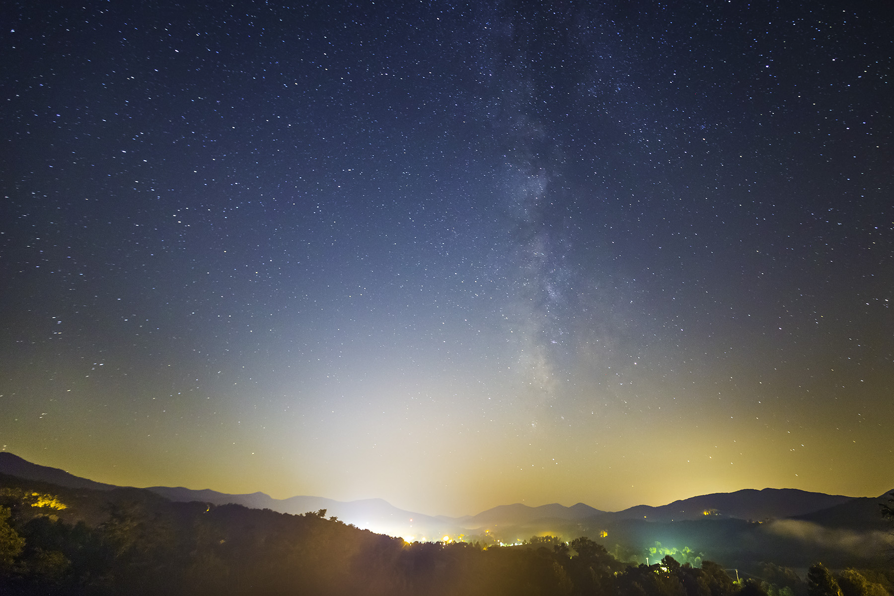
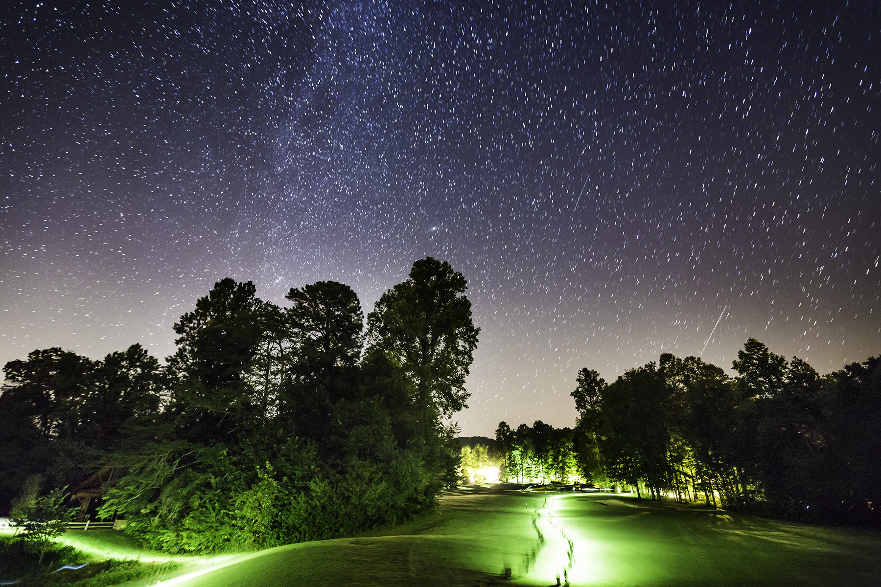
20170829_F0001: Misty Appalachians night
Someone Has an Excellent View
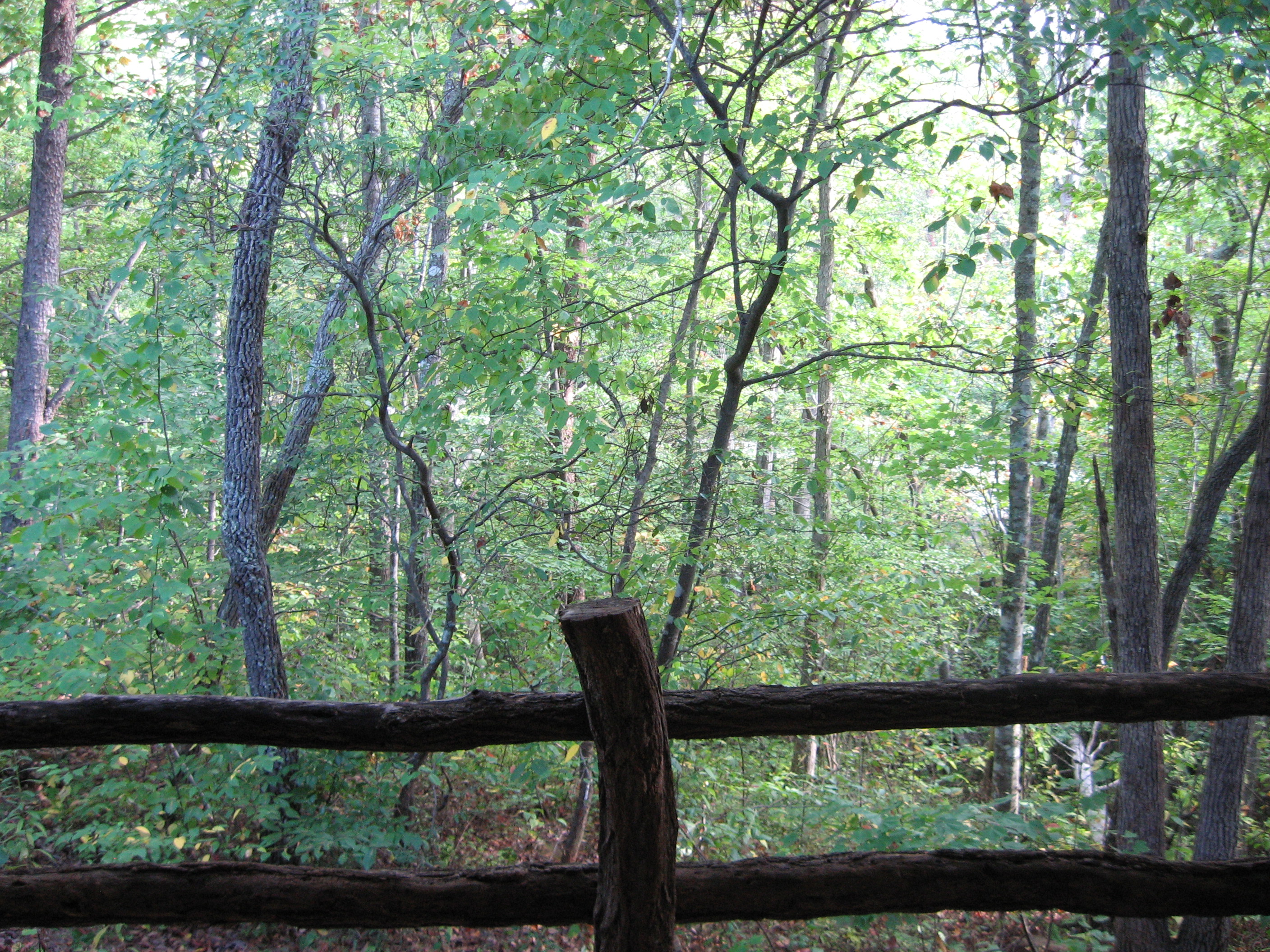
Creekside outside view

20171106_F0001: Opening a can of worms
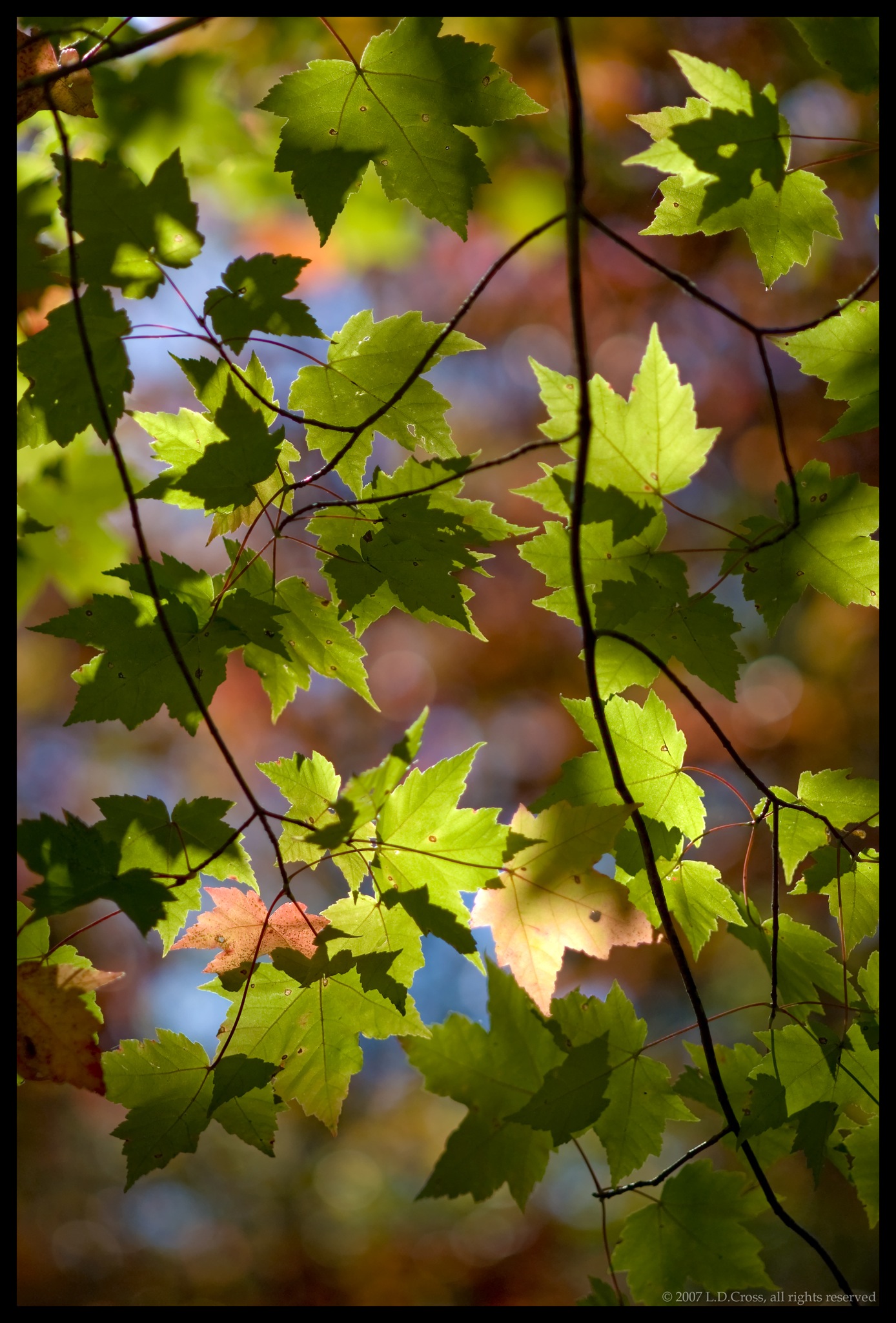
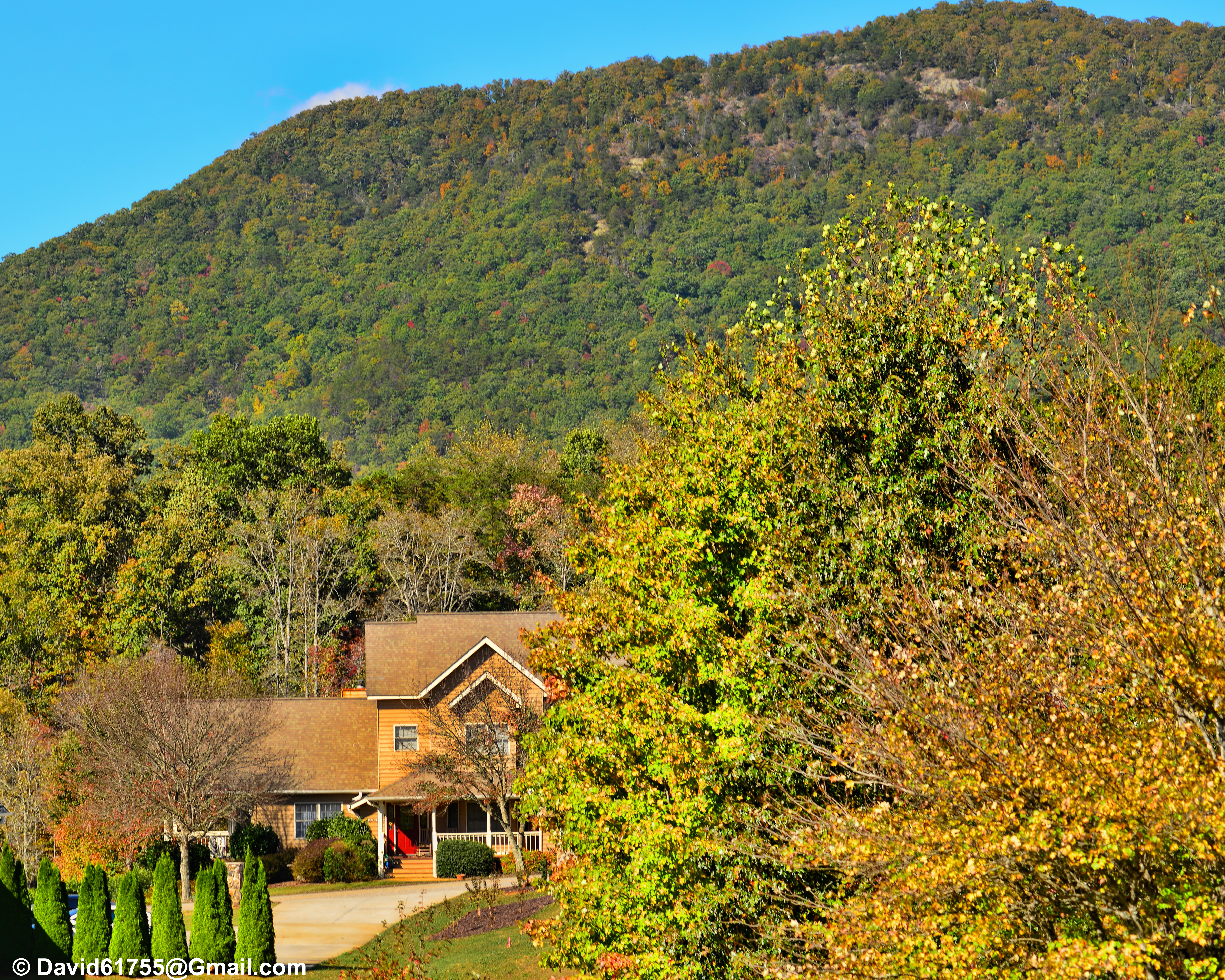
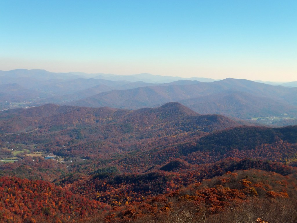
Changing Colors
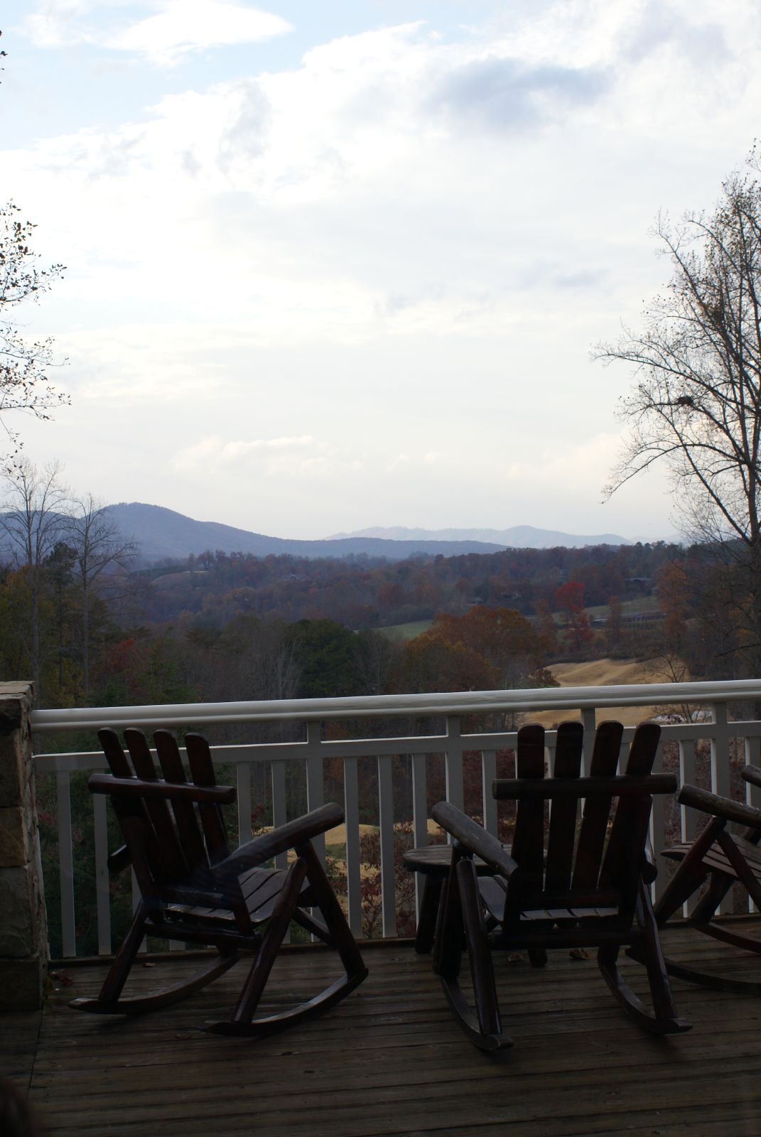
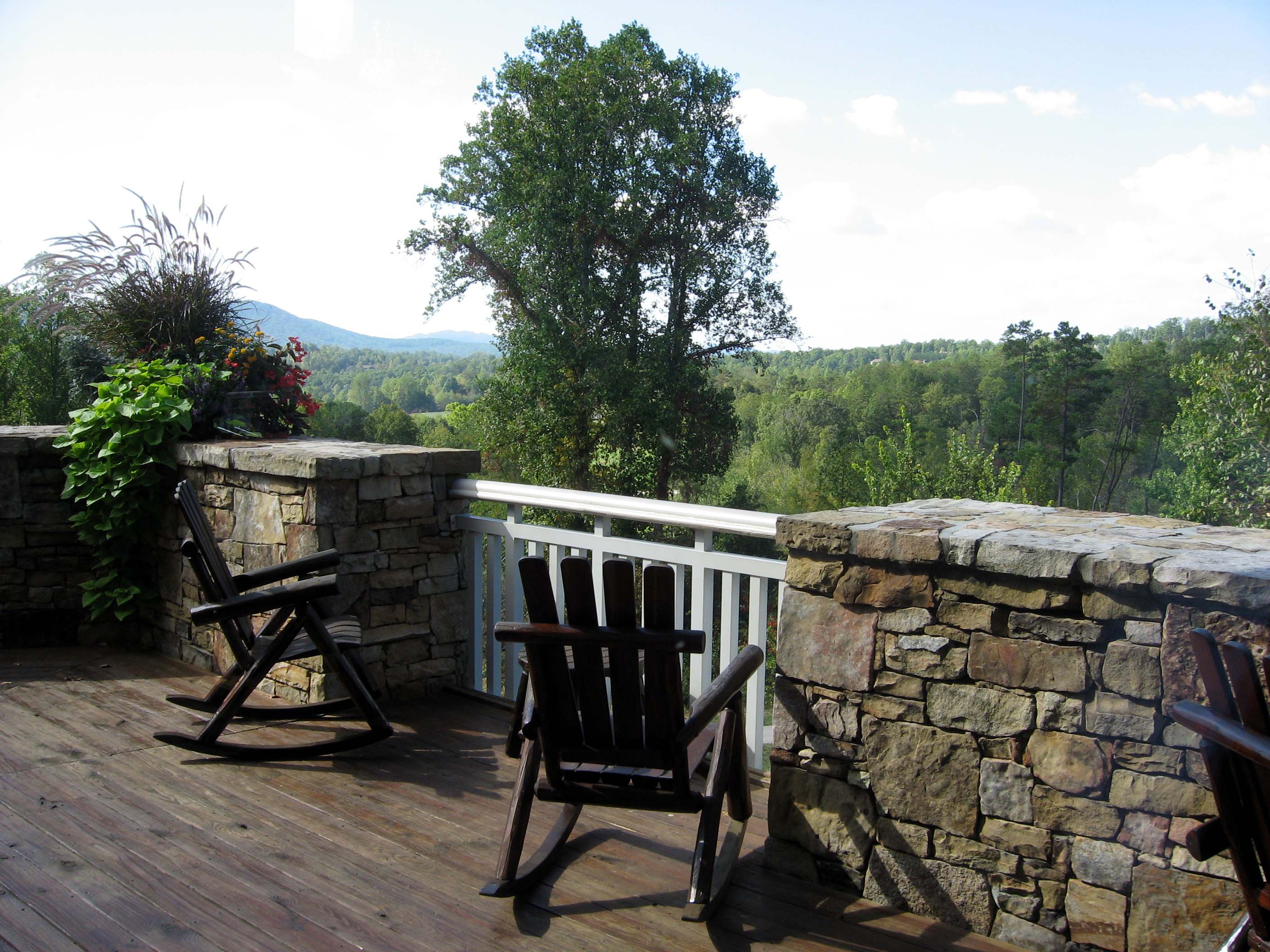
Rocking chairs overlooking the lovely mountain view.

Traill's Flycatcher

A view of the upper region of the fireplace.

Ford Model T
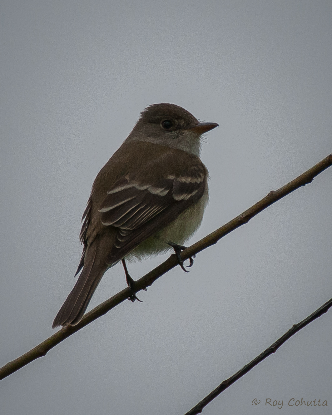
Willow Flycatcher

Traill's Flycatcher

View of W4G/NG-026 - Ravencliffs Knob
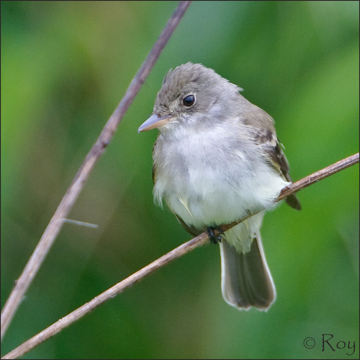
Willow Flycatcher

John C. Campbell Folk School, Brasstown, NC

Davidson Hall J. C. Campbell Folk School

Willow Flycatcher
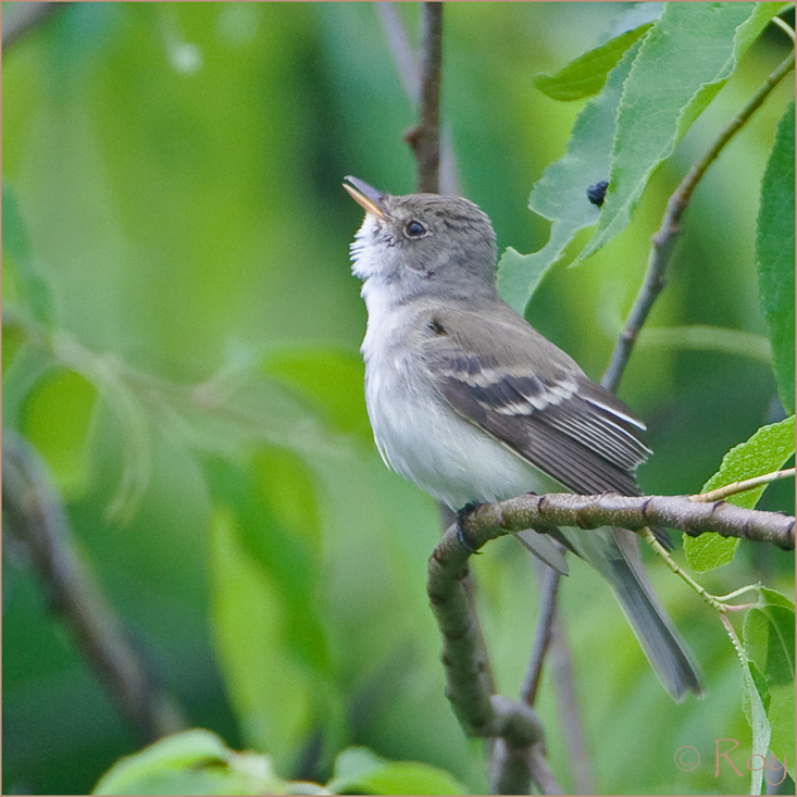
Willow Flycatcher
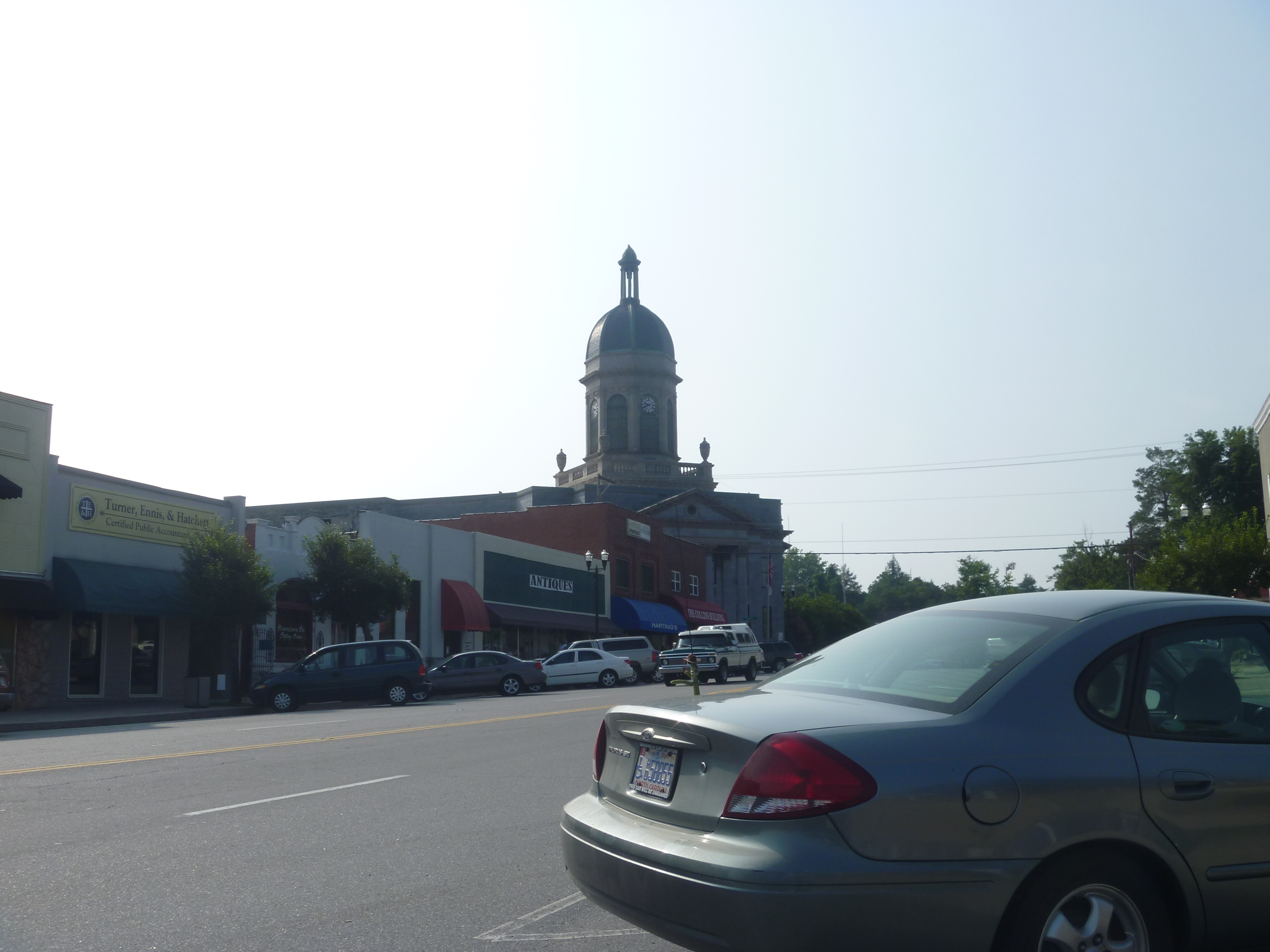
Downtown Murphy NC And The Cherokee County Courthouse
View from Lodge

Somewhere over Nottely Lake
20170826_F0001: The moving world

Folk School scene in the morning
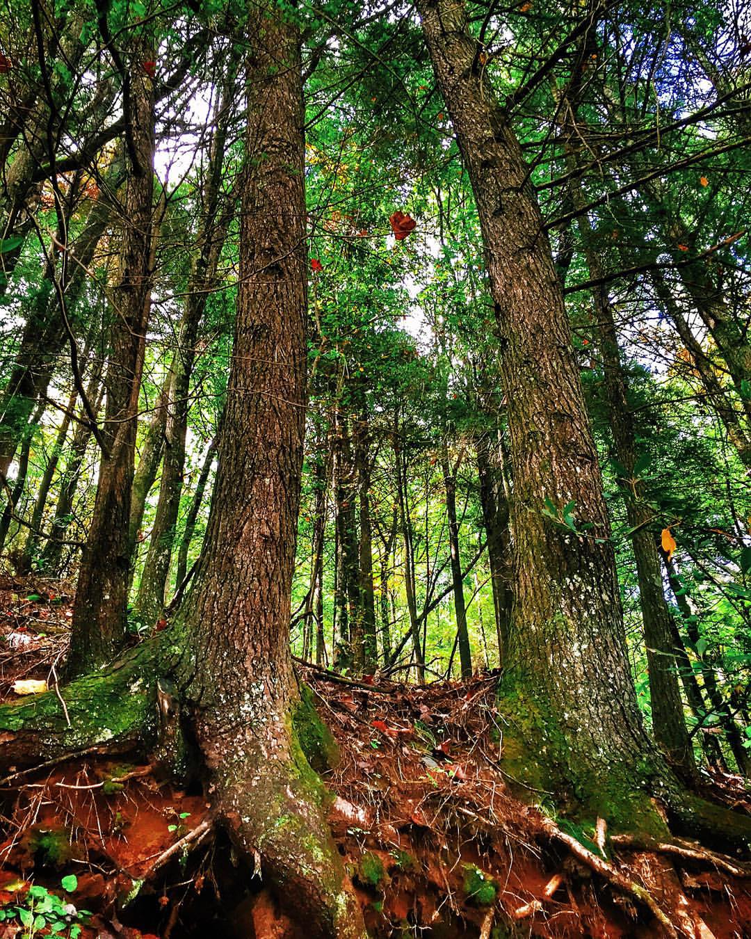
Helton Creek Road, Blairsville, Georgia #heltoncreek #road #forest #trees #roots #nature #foliage #green #leaves #autumn #exploregeorgia #blairsville #georgia #blairsvillega #unioncounty #georgiaonmymind #thisismyga #thesouthernfront #theamericancollectiv

The whole landscape will be one vast wasteland 1
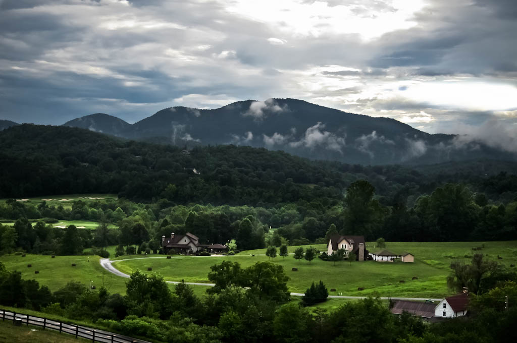
Brasstown Valley
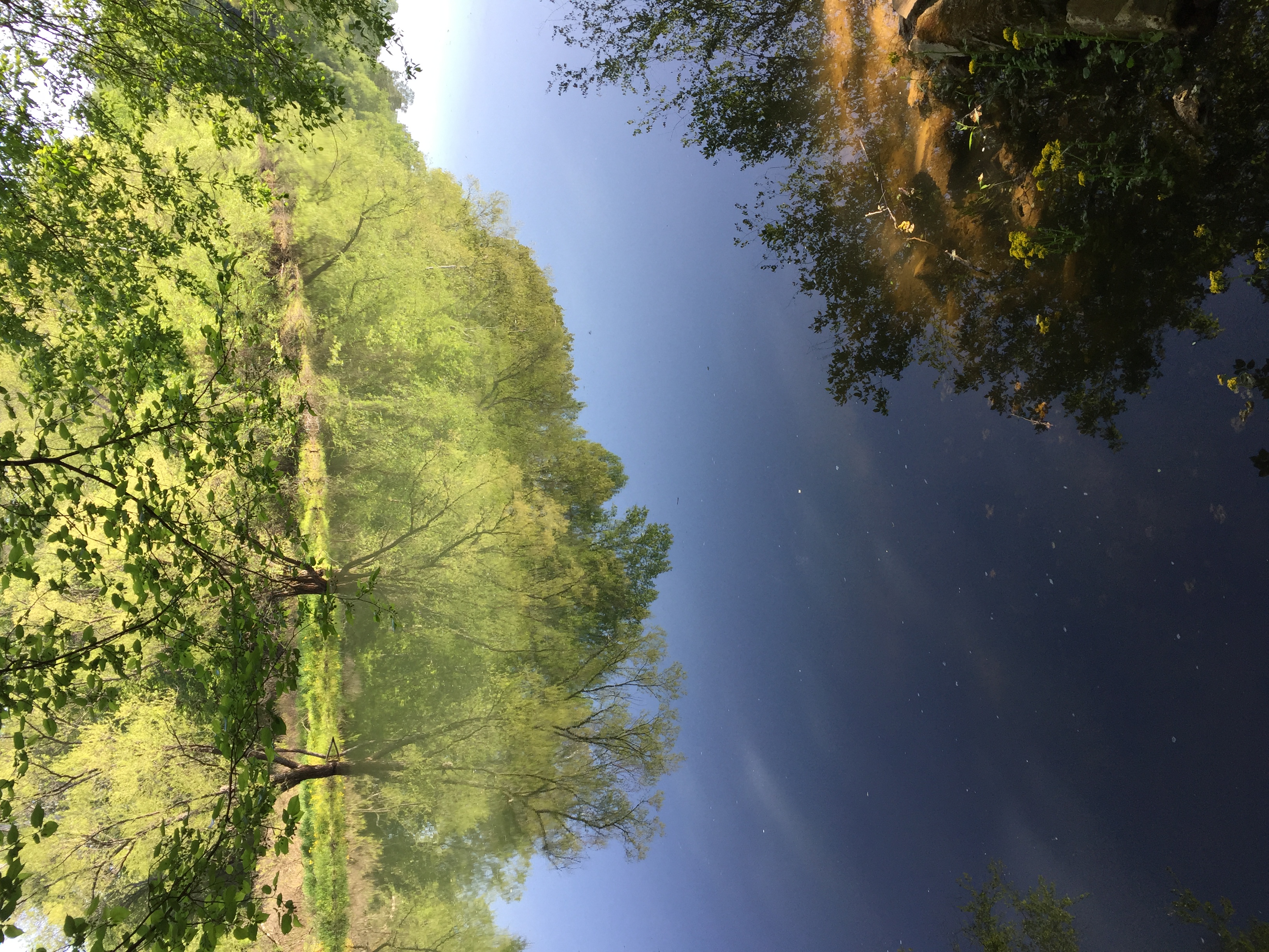
Spring Green
Towns, Georgia, USA
John Campbell Folk School

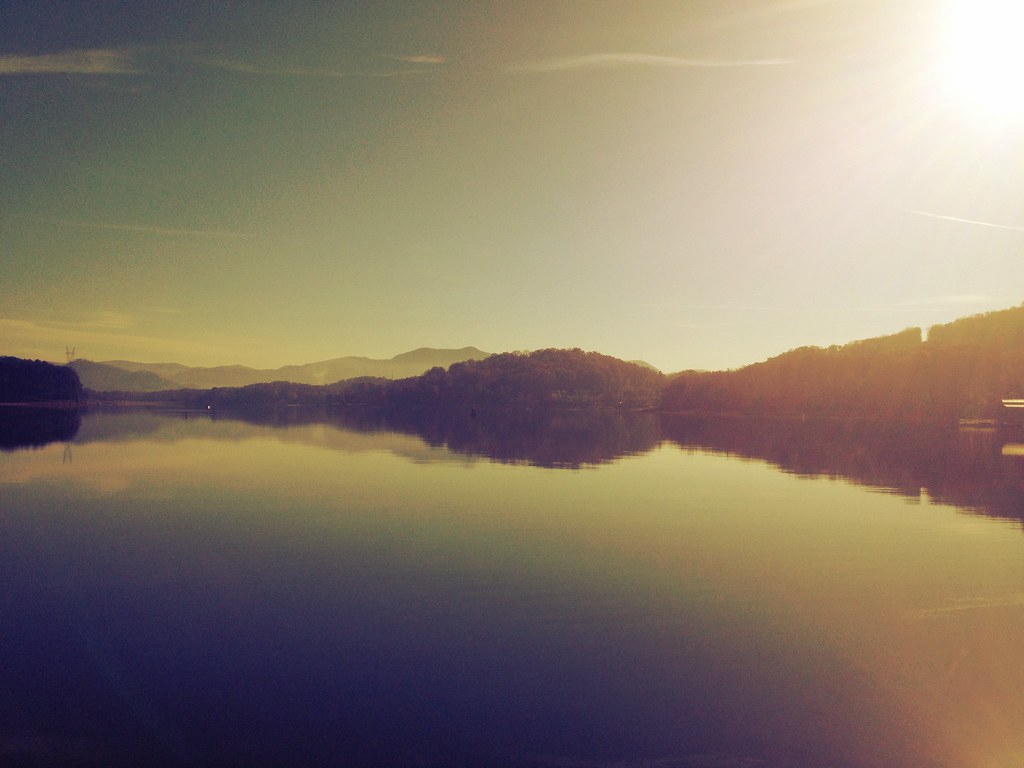
Lake Nottely
Orchard House at John C. Campbell
IMG_4943_HDR-2
Brasstown Bald

Brasstown Bald
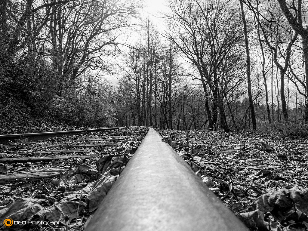
Looking Down the Line
Willowpond Road
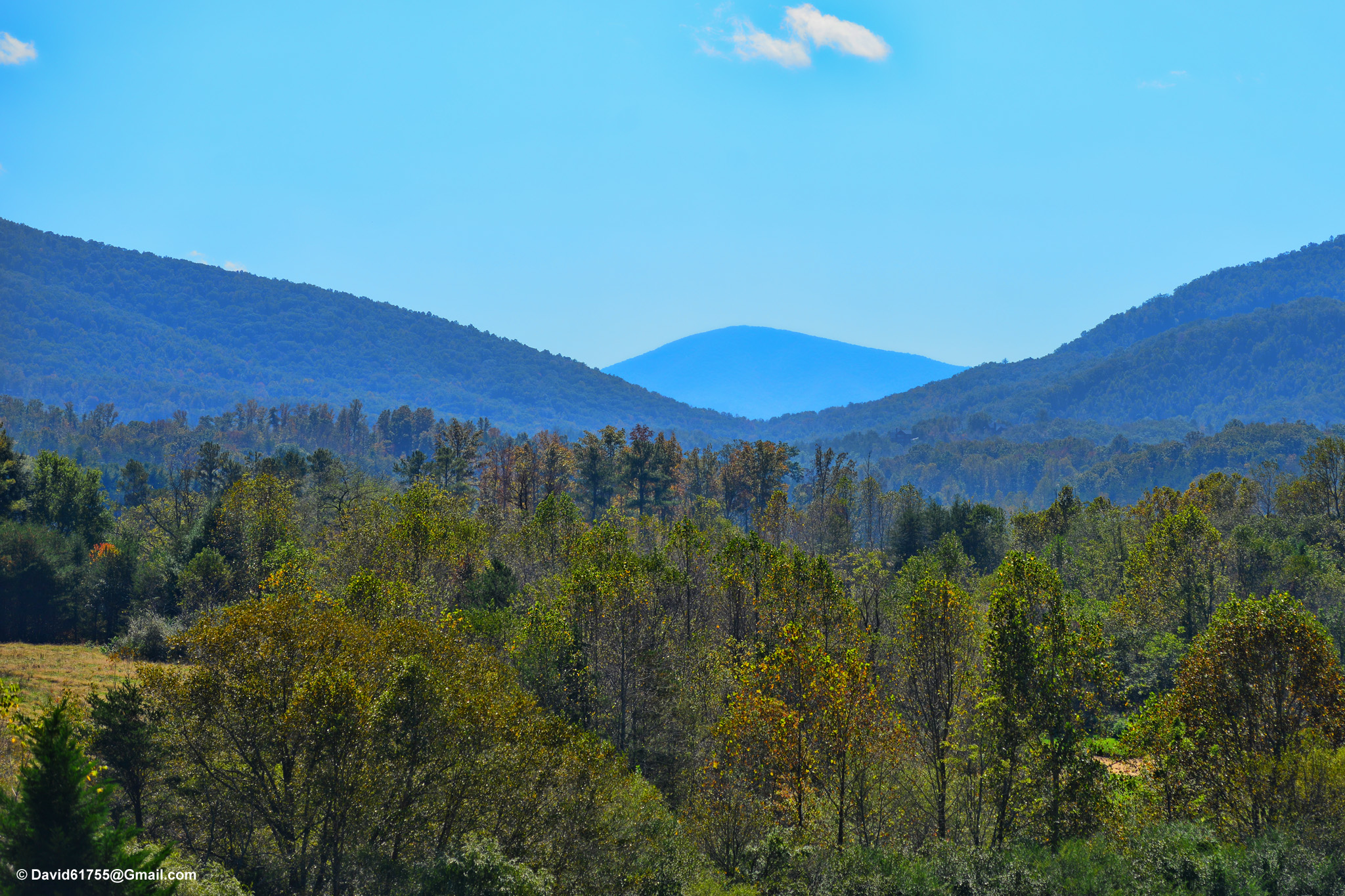
Ridge From Hwy 76
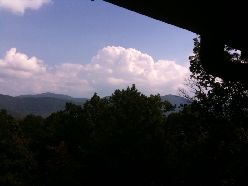
photo.jpg

L & N Train Trestle
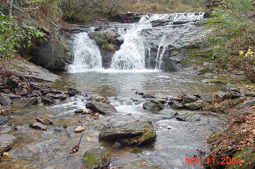
Cupid Falls
Topographic Map of Sam Dye Rd, Blairsville, GA, USA
Find elevation by address:

Places near Sam Dye Rd, Blairsville, GA, USA:
Dockery Creek Road
Barnes Mill Road
376 Hidden Branch Dr
75 Solitude Lane
75 Solitude Lane
51 Campbell Ln
Smyrna Road
Hillside Trail
Barnes Creek Road
551 Wild Turkey Rd
1410 Ivy Log Spur
331 Wild Turkey Rd
Hideaway Hills Road
131 Russell Branch Rd
Thousand Oaks Road
Rizzitello Lane
712 Ivy Bend
712 Ivy Bend
262 Grand View Ridge
Henson Road
Recent Searches:
- Elevation of Côte-des-Neiges, Montreal, QC H4A 3J6, Canada
- Elevation of Bobcat Dr, Helena, MT, USA
- Elevation of Zu den Ihlowbergen, Althüttendorf, Germany
- Elevation of Badaber, Peshawar, Khyber Pakhtunkhwa, Pakistan
- Elevation of SE Heron Loop, Lincoln City, OR, USA
- Elevation of Slanický ostrov, 01 Námestovo, Slovakia
- Elevation of Spaceport America, Co Rd A, Truth or Consequences, NM, USA
- Elevation of Warwick, RI, USA
- Elevation of Fern Rd, Whitmore, CA, USA
- Elevation of 62 Abbey St, Marshfield, MA, USA