Elevation of Salem, SD, USA
Location: United States > South Dakota > Mccook County > Salem >
Longitude: -97.394882
Latitude: 43.7427308
Elevation: 465m / 1526feet
Barometric Pressure: 96KPa
Elevation Map:
Satellite Map:
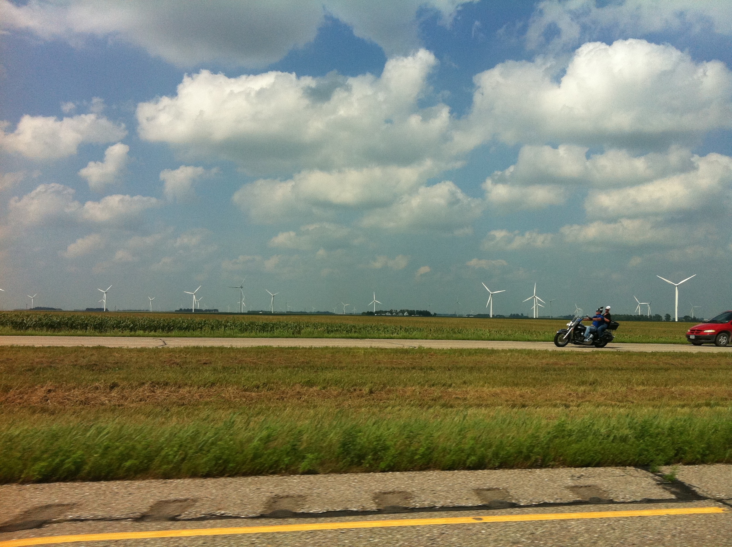
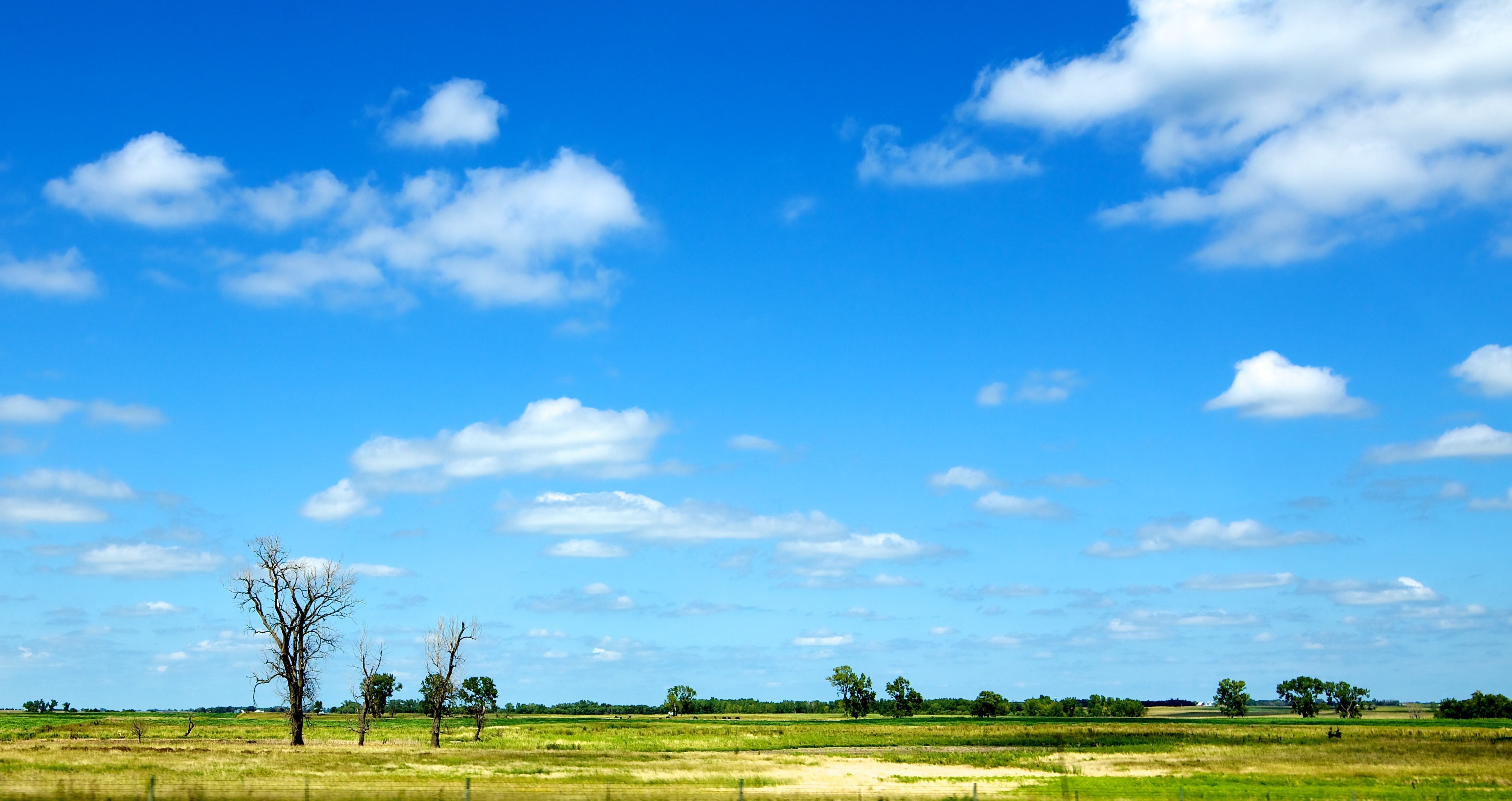
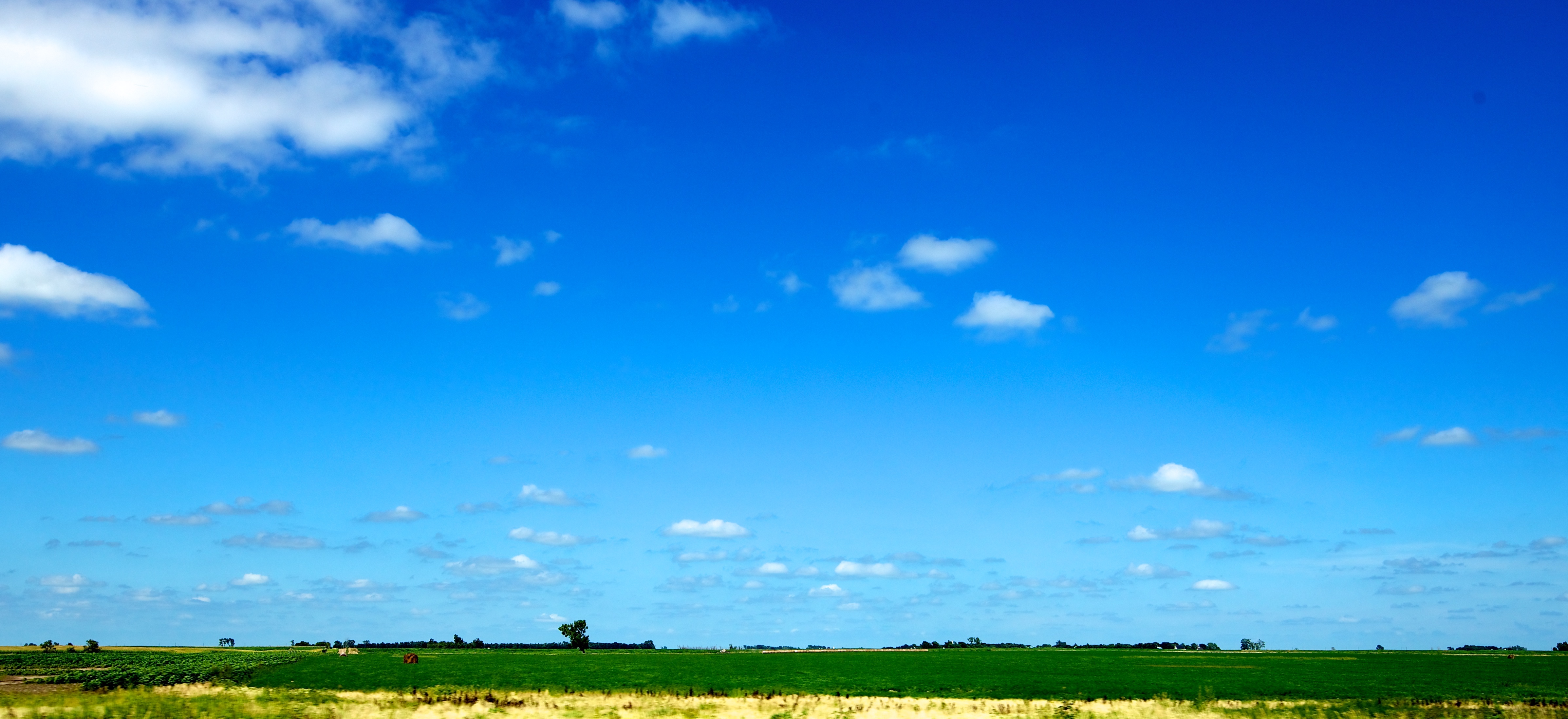
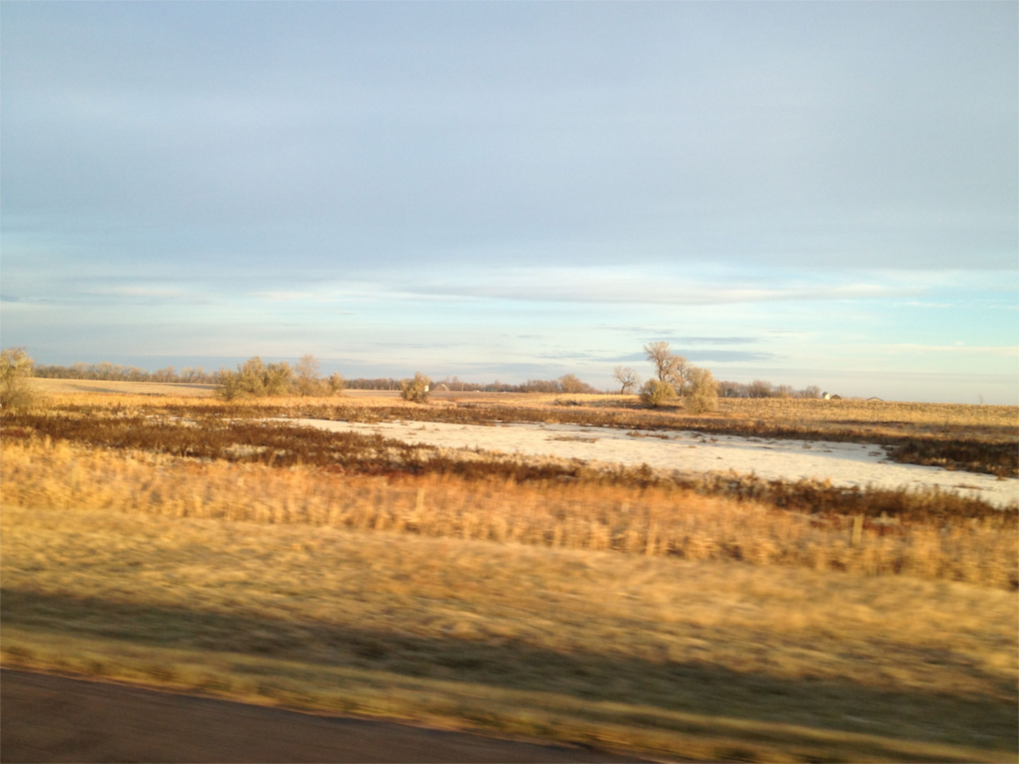
Related Photos:
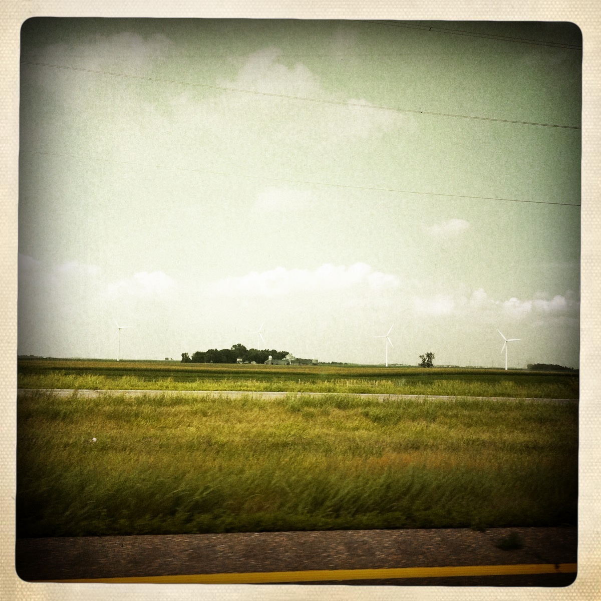
Camera Roll-442
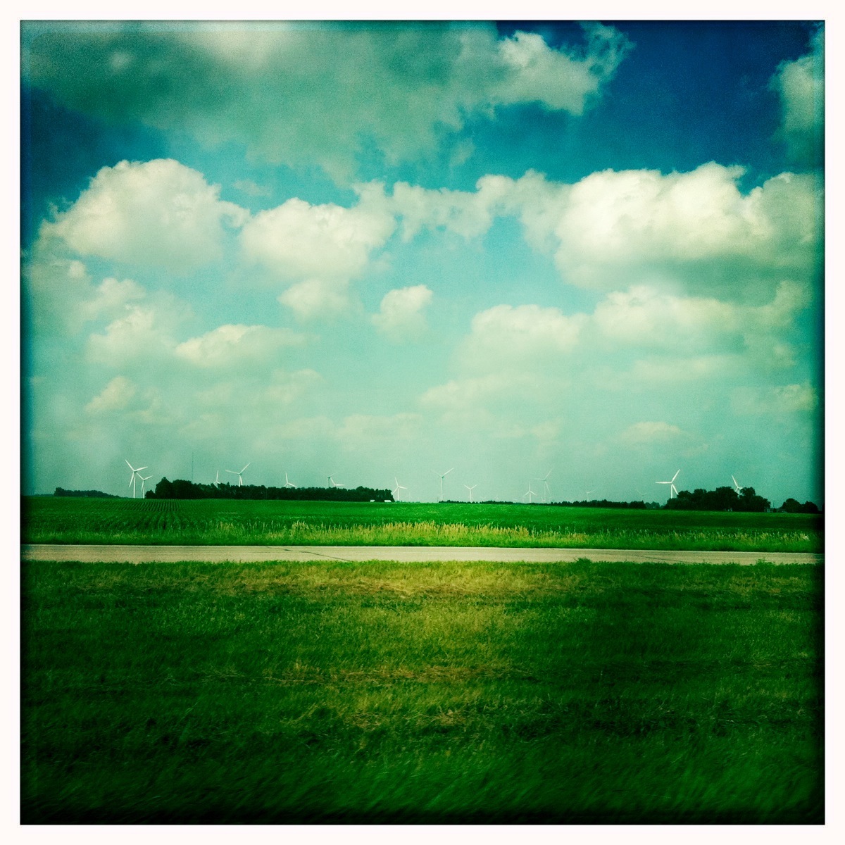
Camera Roll-435
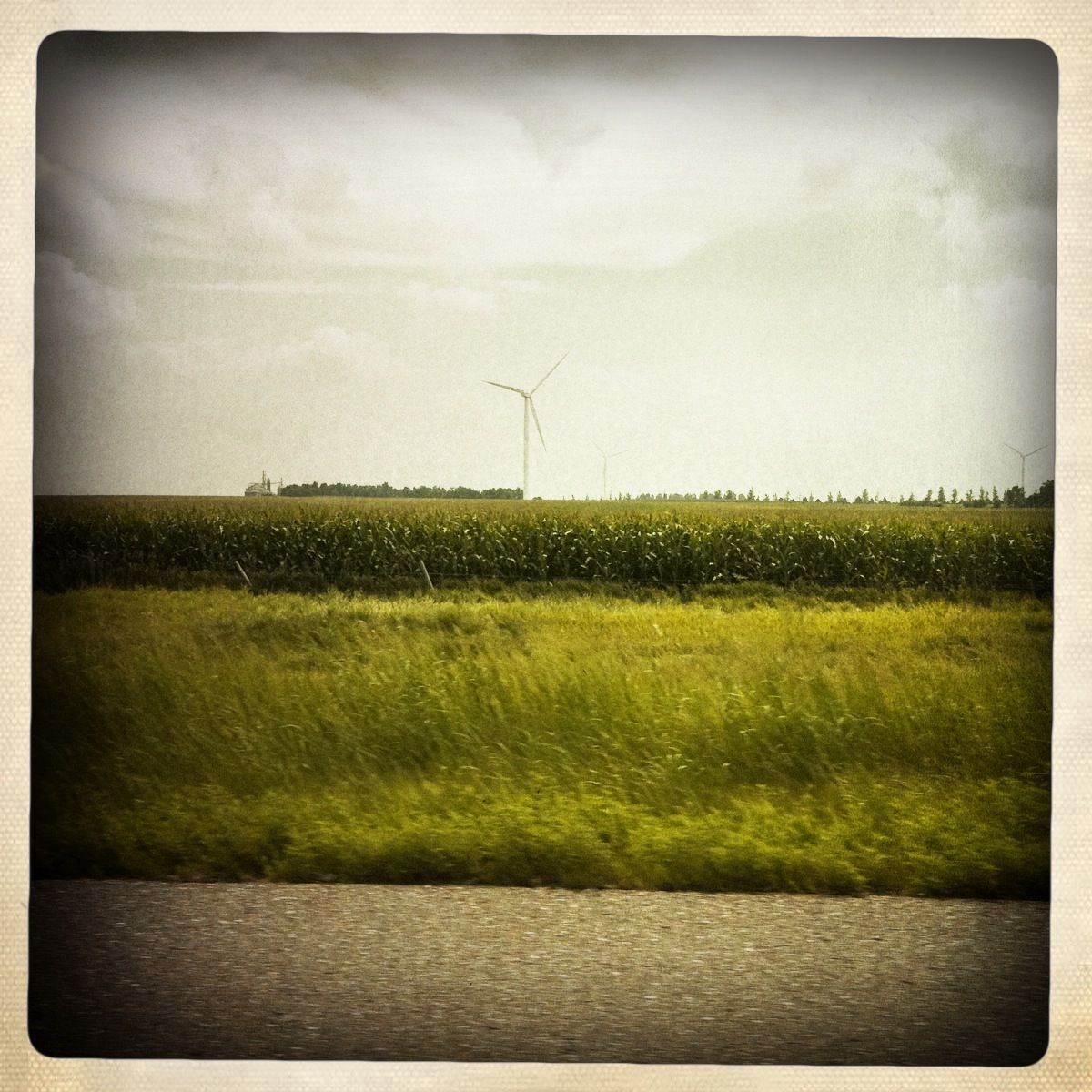
Camera Roll-443
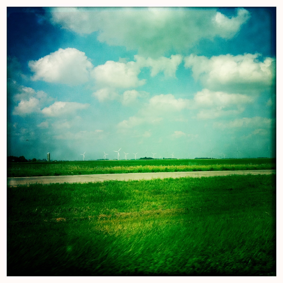
Camera Roll-436
window shots
day06 319
day06 316

day06 317
Still SD
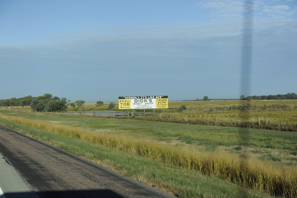
Toe Truck?

window shots
Topographic Map of Salem, SD, USA
Find elevation by address:

Places near Salem, SD, USA:
Salem
Mccook County
Canistota
Warehouse Ave, Canistota, SD, USA
Clark St, Montrose, SD, USA
Lake County
Hanson County
Madison
Hanson Township
Race View Dr, Mitchell, SD, USA
41210 Sd-38
Mitchell
Lake Preston
Mitchell High School
Baker Township
2810 S Capital St
N Main St, Mitchell, SD, USA
201 W 1st Ave
Mitchell
Mabee Eye Clinic
Recent Searches:
- Elevation of Congressional Dr, Stevensville, MD, USA
- Elevation of Bellview Rd, McLean, VA, USA
- Elevation of Stage Island Rd, Chatham, MA, USA
- Elevation of Shibuya Scramble Crossing, 21 Udagawacho, Shibuya City, Tokyo -, Japan
- Elevation of Jadagoniai, Kaunas District Municipality, Lithuania
- Elevation of Pagonija rock, Kranto 7-oji g. 8"N, Kaunas, Lithuania
- Elevation of Co Rd 87, Jamestown, CO, USA
- Elevation of Tenjo, Cundinamarca, Colombia
- Elevation of Côte-des-Neiges, Montreal, QC H4A 3J6, Canada
- Elevation of Bobcat Dr, Helena, MT, USA