Elevation of McCook County, SD, USA
Location: United States > South Dakota >
Longitude: -97.351655
Latitude: 43.6310744
Elevation: 454m / 1489feet
Barometric Pressure: 96KPa
Elevation Map:
Satellite Map:
Related Photos:

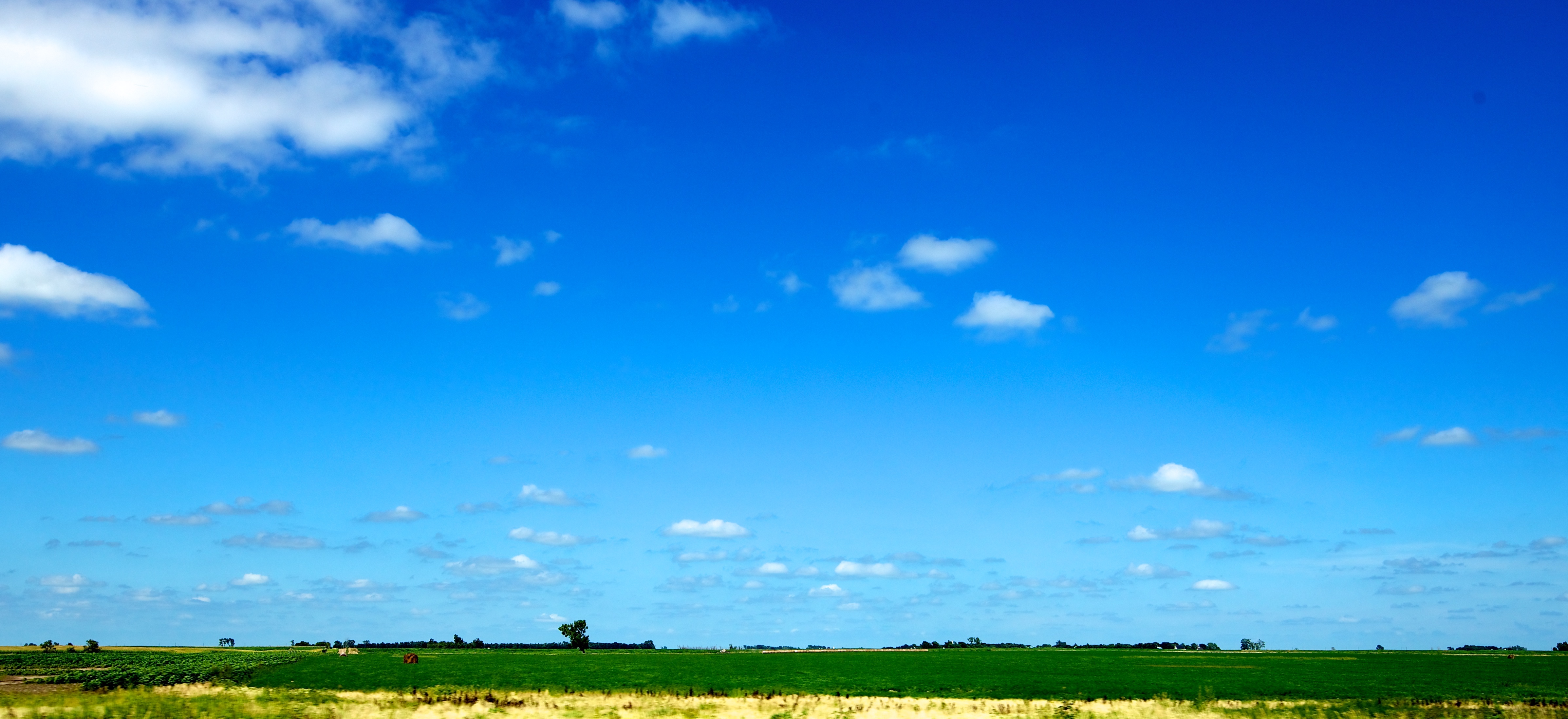
View through Trailer

Farm View - Timothy

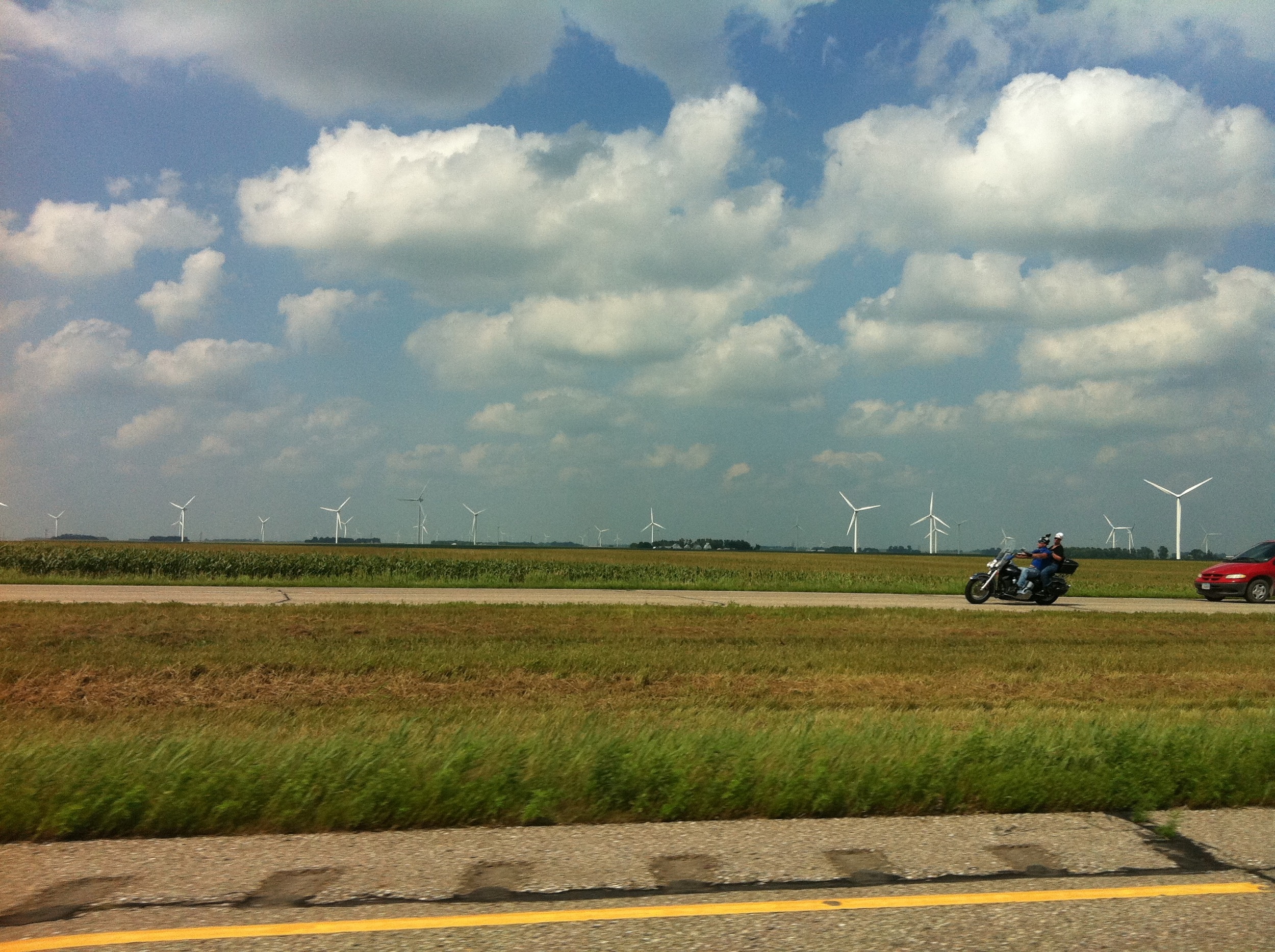
View From John Deere

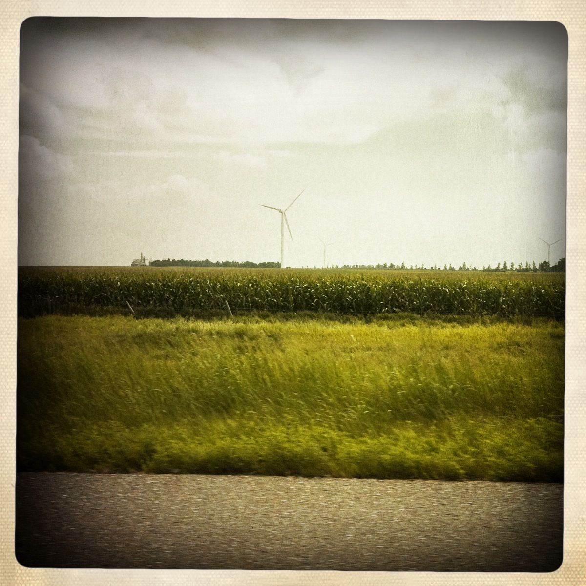
View of Farm
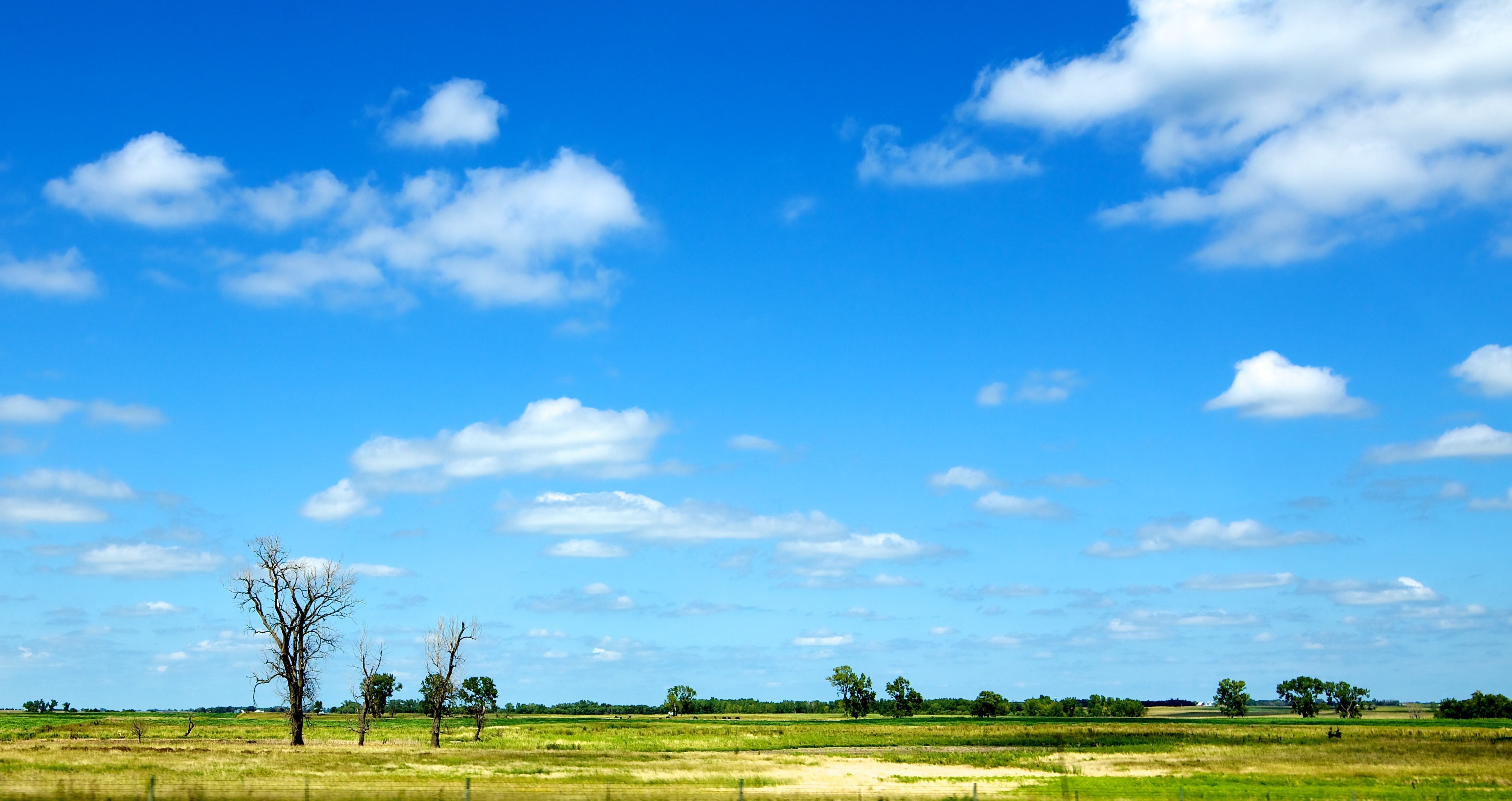
Camera Roll-442
Camera Roll-443
Camera Roll-436

Camera Roll-435

Camera Roll-437

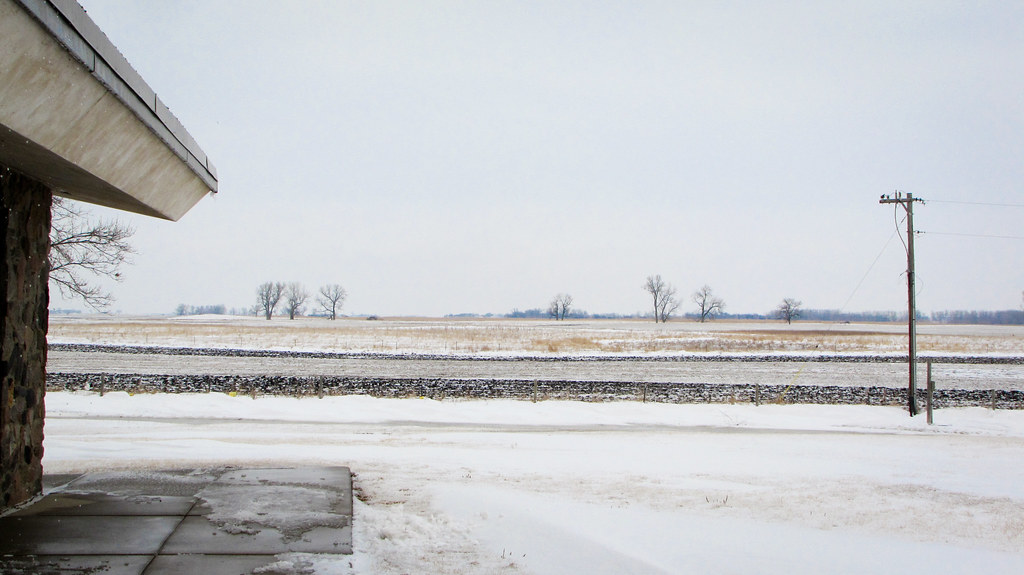
day06 318

day06 314
window shots
day06 316
day06 319
2012 March 1 - Highway 90 in Laurent, South Dakota

day06 317
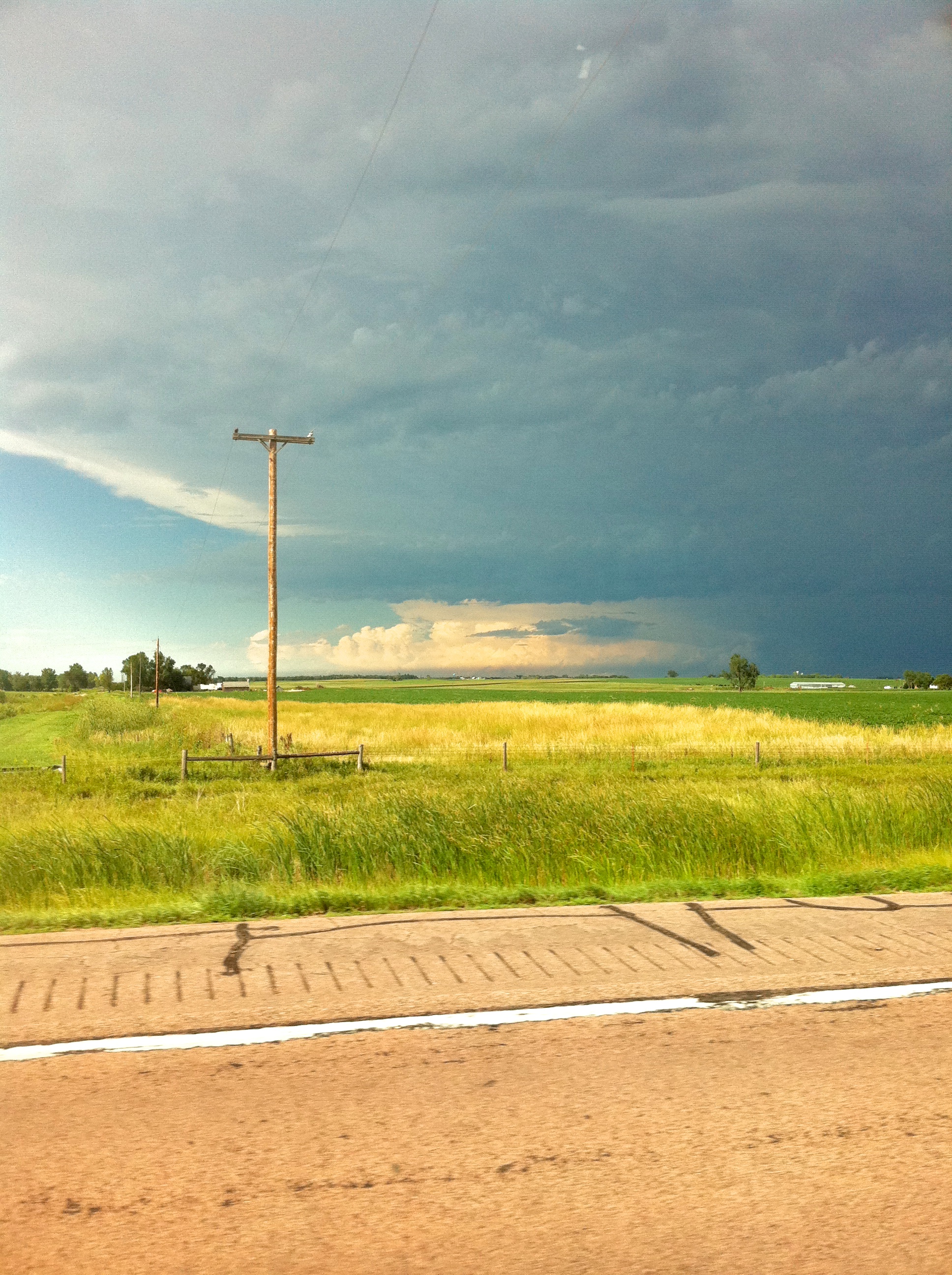
Looking back at the tornado
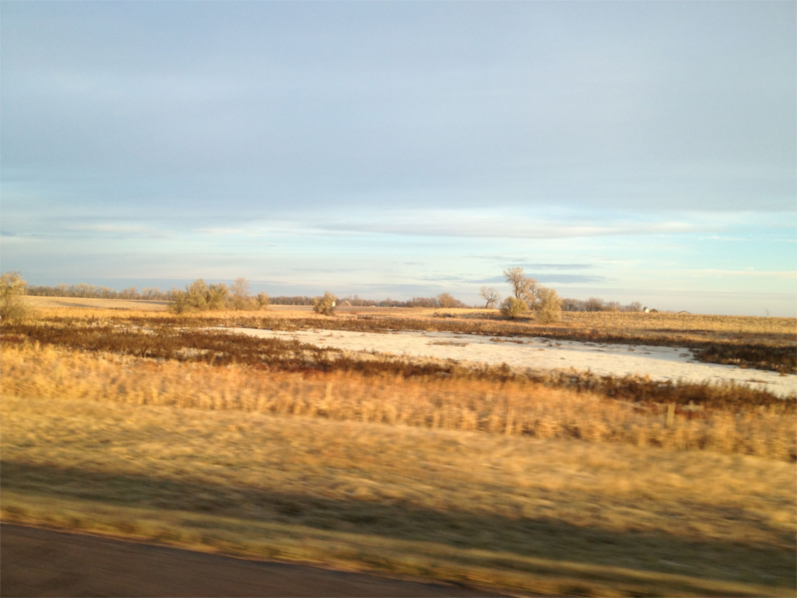
Still SD
.
.

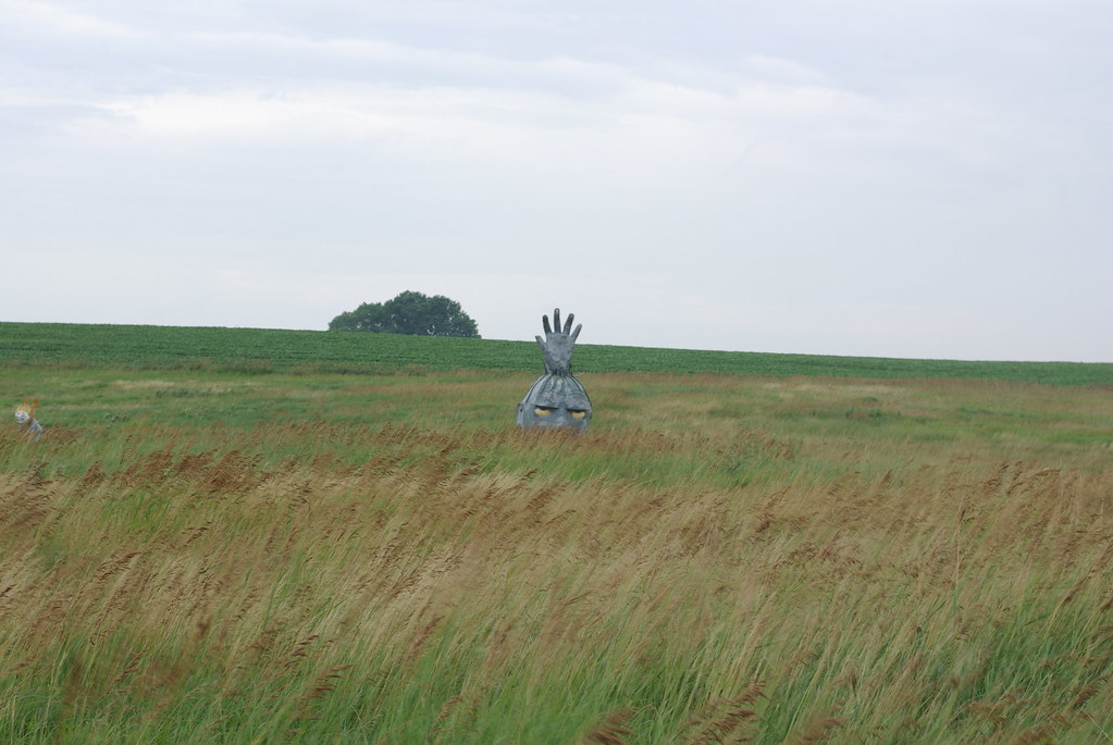
The Horned God

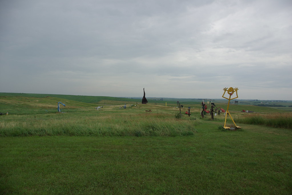
Roadside art. #SouthDakota
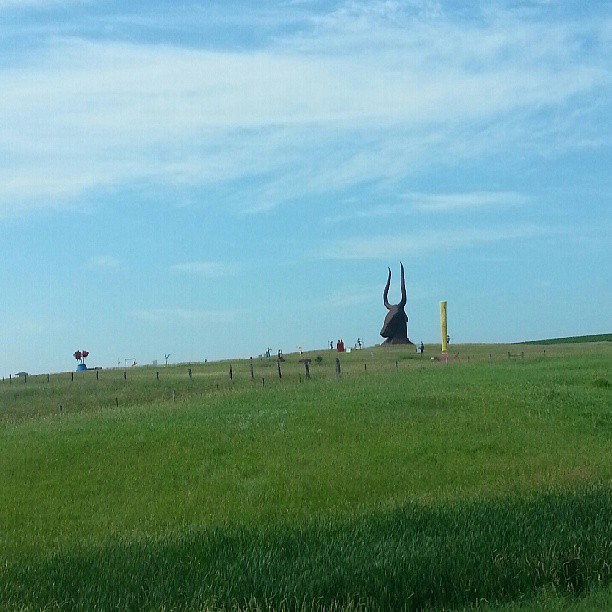
Roadside art. #SouthDakota

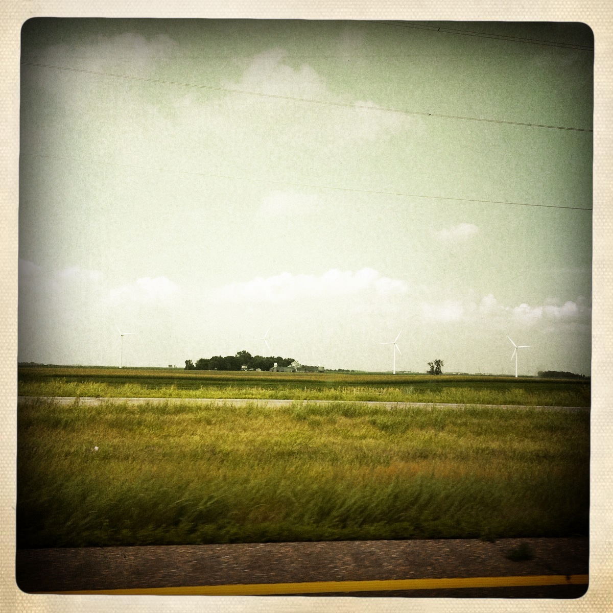
Tower with Farm and Field

window shots
Topographic Map of McCook County, SD, USA
Find elevation by address:

Places in McCook County, SD, USA:
Places near McCook County, SD, USA:
Canistota
Warehouse Ave, Canistota, SD, USA
Salem
Salem, SD, USA
Clark St, Montrose, SD, USA
Hanson County
Lake County
Madison
Hanson Township
41210 Sd-38
Race View Dr, Mitchell, SD, USA
Mitchell
2810 S Capital St
Mitchell High School
Prosper Township
N Main St, Mitchell, SD, USA
201 W 1st Ave
Mitchell
Mabee Eye Clinic
800 W Norway Ave
Recent Searches:
- Elevation of Verkhny Fiagdon, North Ossetia–Alania Republic, Russia
- Elevation of F. Viola Hiway, San Rafael, Bulacan, Philippines
- Elevation of Herbage Dr, Gulfport, MS, USA
- Elevation of Lilac Cir, Haldimand, ON N3W 2G9, Canada
- Elevation of Harrod Branch Road, Harrod Branch Rd, Kentucky, USA
- Elevation of Wyndham Grand Barbados Sam Lords Castle All Inclusive Resort, End of Belair Road, Long Bay, Bridgetown Barbados
- Elevation of Iga Trl, Maggie Valley, NC, USA
- Elevation of N Co Rd 31D, Loveland, CO, USA
- Elevation of Lindever Ln, Palmetto, FL, USA
- Elevation of Gillot Blvd, Port Charlotte, FL, USA