Elevation of Saint-Mesmin, France
Location: France > Pays De La Loire > Vendee >
Longitude: -0.732569
Latitude: 46.793922
Elevation: 168m / 551feet
Barometric Pressure: 99KPa
Elevation Map:
Satellite Map:
Related Photos:

vendee 2

Forgive is not forgot #1

Forgive is not forget #5

Forgive is not forget #4

Forgive is not forgot #2

Pouzauges view of attackers
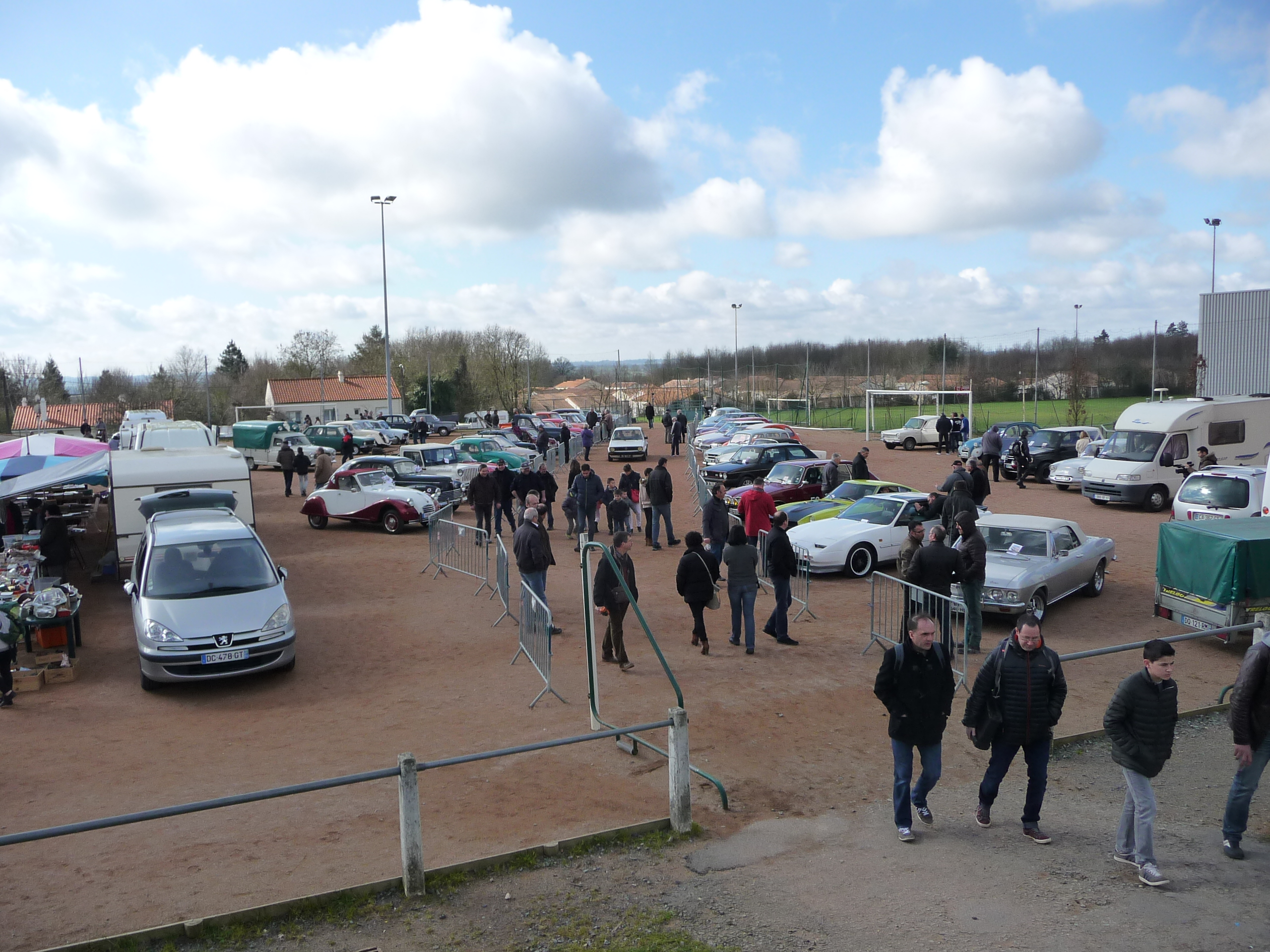
Car park for classic cars, general view
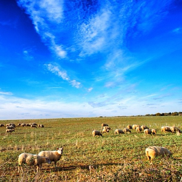
Photo iPhone gardée pour un jour sans soleil. #sky #iphone4s #landscape #igersfrance #instagood #sheep

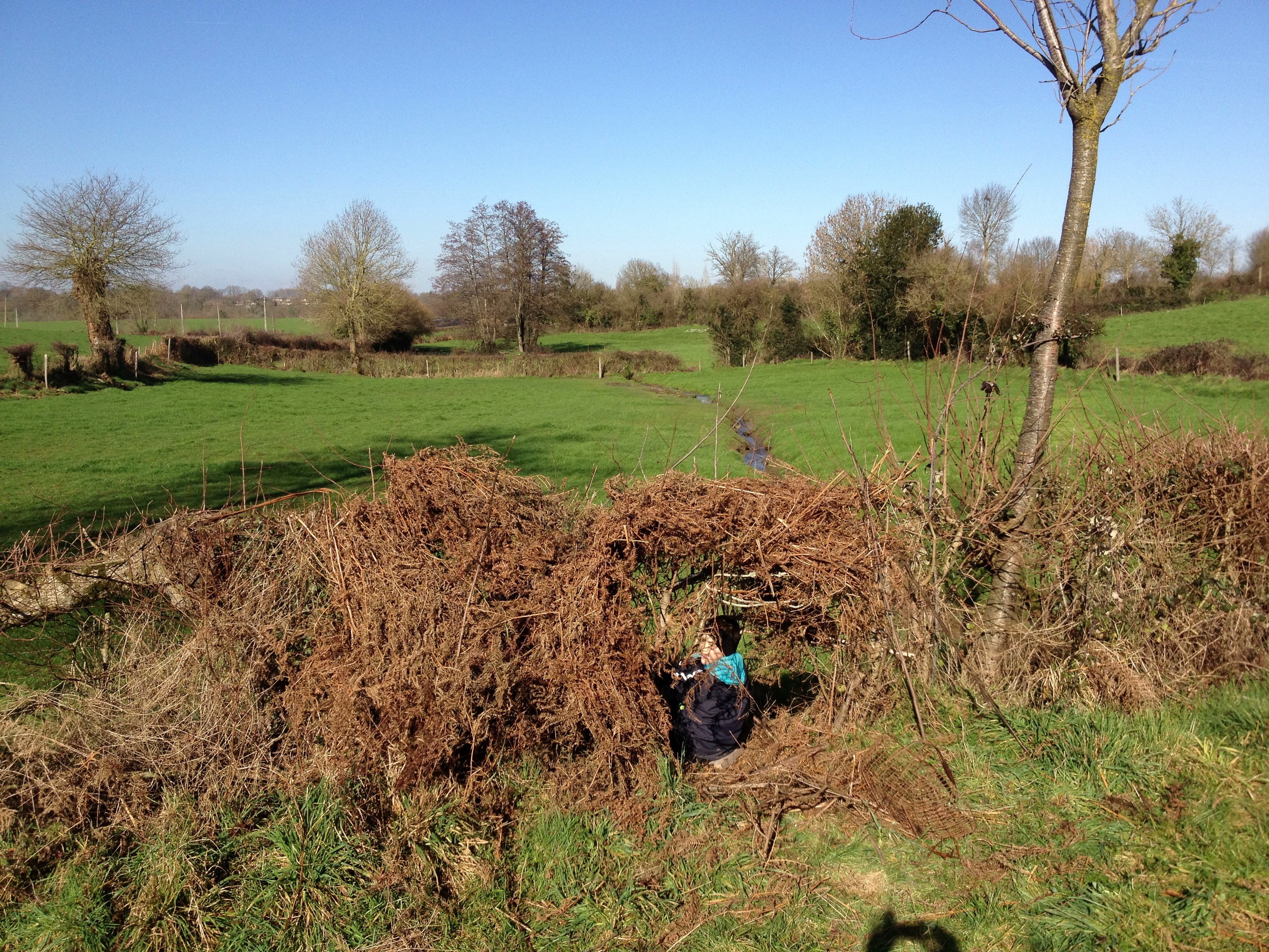
Vue sur le bocage vendéen
The moment after

Frozen grass

Test Geotag-3

Saint Michel Mont Mercure en Vendée

La Flocellière.jpg
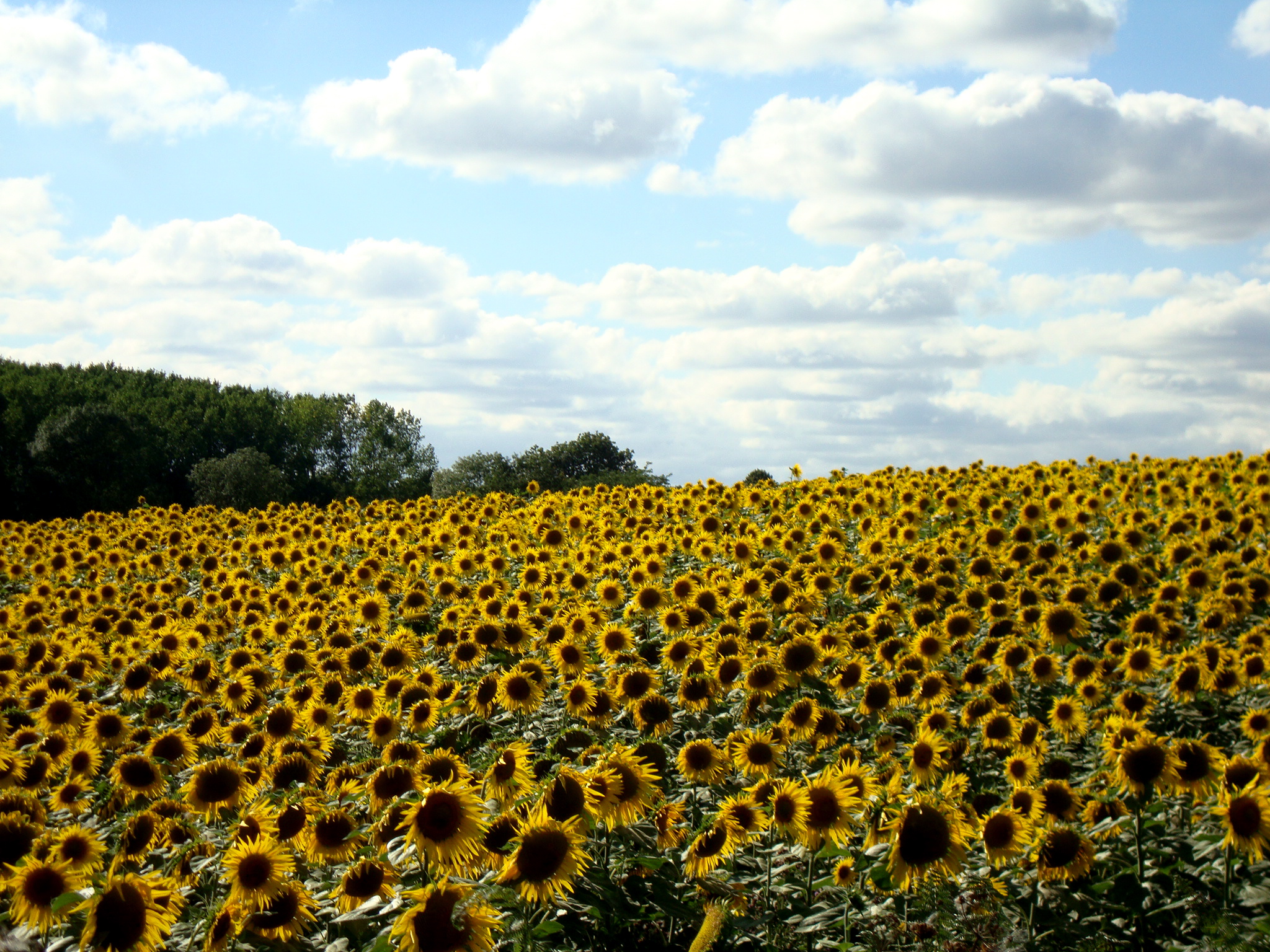
Ten minutes from the house: massive field of sunflowers!
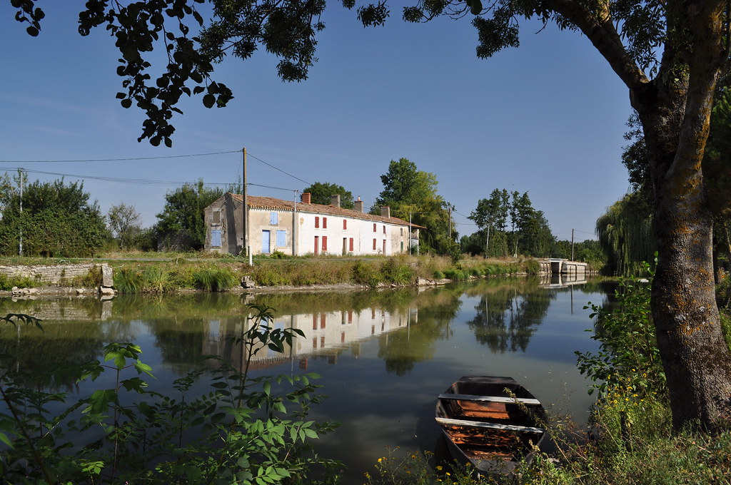
France Charente Le Marais Poitevin

Test Geotag-7
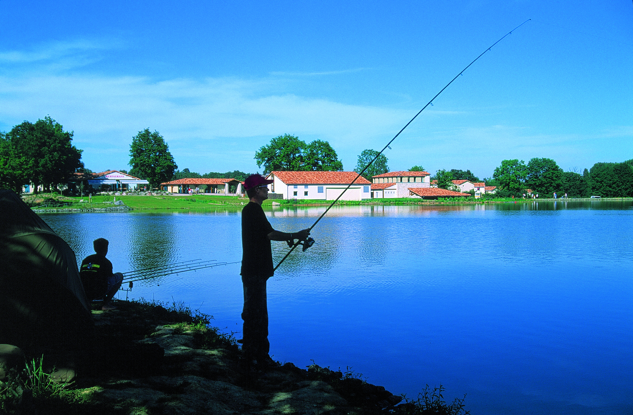
Pêche à Pescalis

Au-dessus de la 4 voies Cholet-Bressuire

Test Geotag-1

Ile de St Cado, Brittany

Test Geotag-2

Brume gâtinaise. #igersfrance #poitoucharentes #gmy #trees #jj_challenge #clouds #iphoneography
Cabane de Max

pouzauges à la vallée

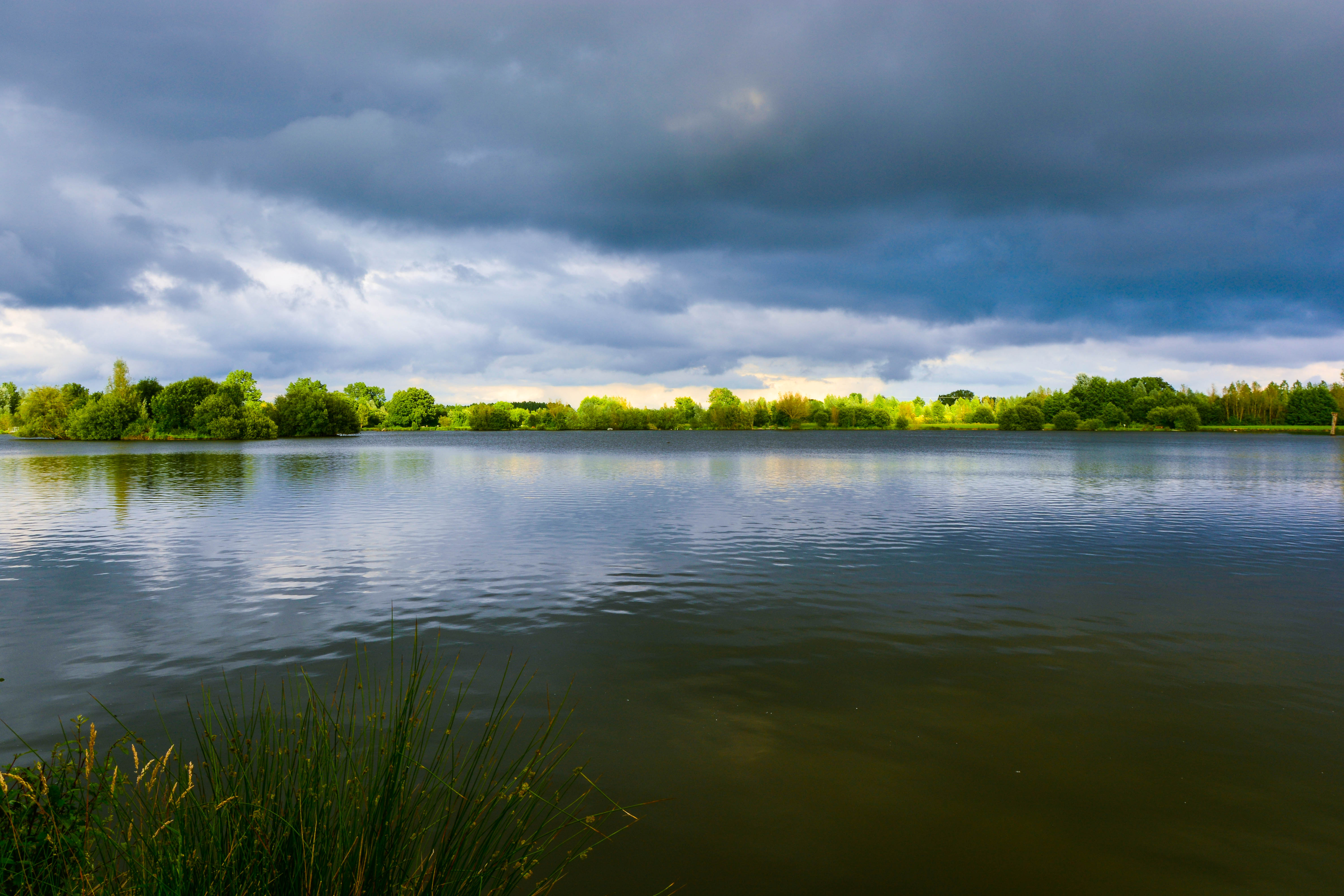
Plan d'eau de la carrière de Cheffois

Ancienne carrière de Cheffois

Saint Michel Mont Mercure en Vendée
Topographic Map of Saint-Mesmin, France
Find elevation by address:

Places in Saint-Mesmin, France:
Places near Saint-Mesmin, France:
1 Le Bois au Jaud, Saint-Mesmin, France
5 Les Ecorcins, Saint-Amand-sur-Sèvre, France
Saint-amand-sur-sèvre
10 La Jaunelière, Cirières, France
4 Le Gachignard, Courlay, France
4 La Gidalière, Saint-Amand-sur-Sèvre, France
Cirières
Moutiers-sous-chantemerle
7 Rue des Cures, Moutiers-Sous-Chantemerle, France
1 Rue de la Chenelière, Saint-Germain-l'Aiguiller, France
Saint-germain-l'aiguiller
7 Rue de la Promenade, Saint-Michel-Mont-Mercure, France
Saint-michel-mont-mercure
Courlay
6 D, La Chapelle-Saint-Étienne, France
La Chapelle-saint-Étienne
Saint-paul-en-gâtine
16 Rue du Bourg, Saint-Paul-en-Gâtine, France
2 Rue du Pontreau, Chavagnes-les-Redoux, France
Chavagnes-les-redoux
Recent Searches:
- Elevation of Congressional Dr, Stevensville, MD, USA
- Elevation of Bellview Rd, McLean, VA, USA
- Elevation of Stage Island Rd, Chatham, MA, USA
- Elevation of Shibuya Scramble Crossing, 21 Udagawacho, Shibuya City, Tokyo -, Japan
- Elevation of Jadagoniai, Kaunas District Municipality, Lithuania
- Elevation of Pagonija rock, Kranto 7-oji g. 8"N, Kaunas, Lithuania
- Elevation of Co Rd 87, Jamestown, CO, USA
- Elevation of Tenjo, Cundinamarca, Colombia
- Elevation of Côte-des-Neiges, Montreal, QC H4A 3J6, Canada
- Elevation of Bobcat Dr, Helena, MT, USA