Elevation of 10 La Jaunelière, Cirières, France
Location: France > Aquitaine Limousin Poitou-charentes > Deux-sevres > Cirières >
Longitude: -0.6496883
Latitude: 46.8500519
Elevation: 175m / 574feet
Barometric Pressure: 99KPa
Elevation Map:
Satellite Map:
Related Photos:
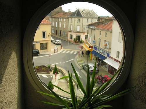
Bressuire, view from the library to the 5th May place.
ST PORCHAIRE 79
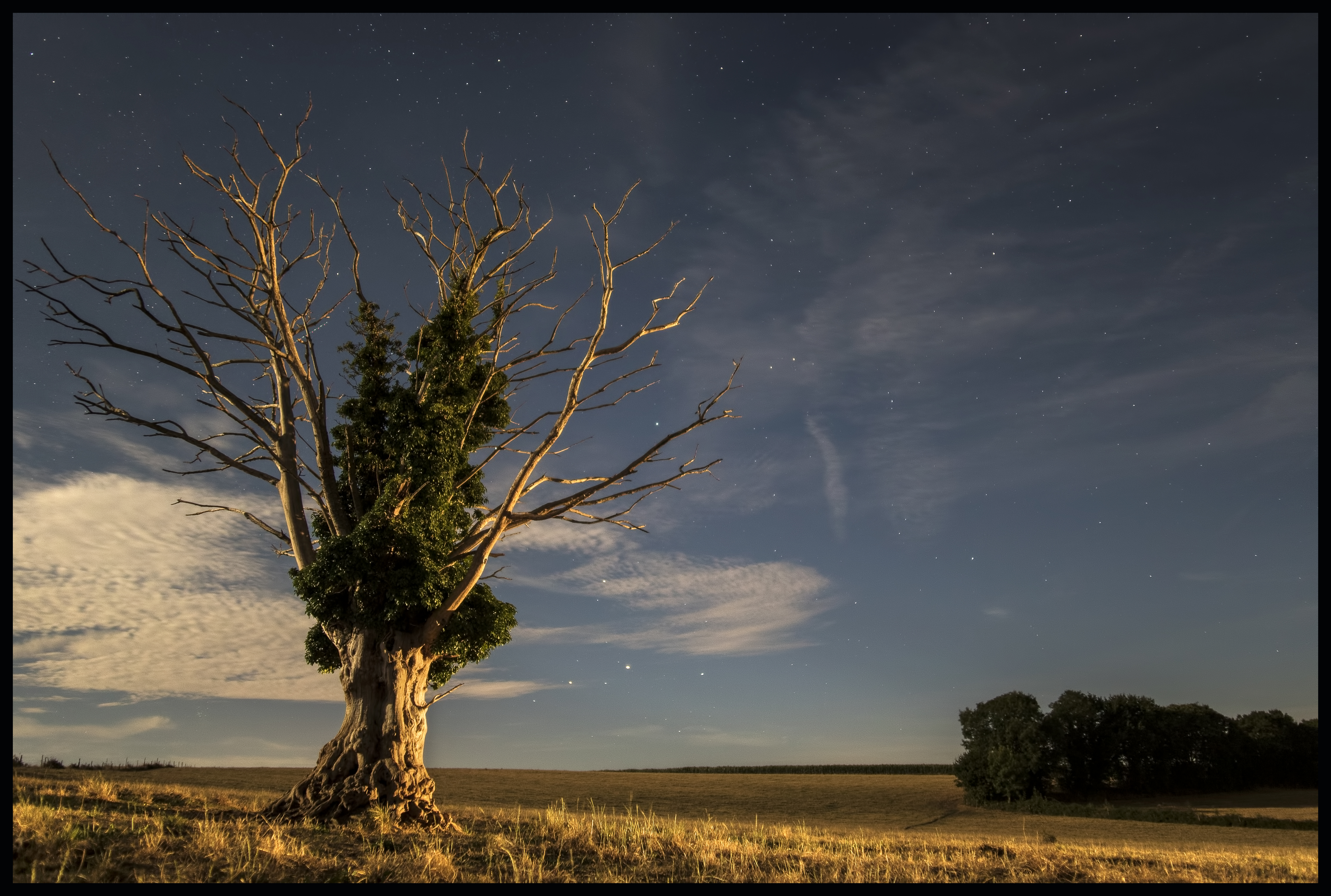
Arbre et lune - 20160818
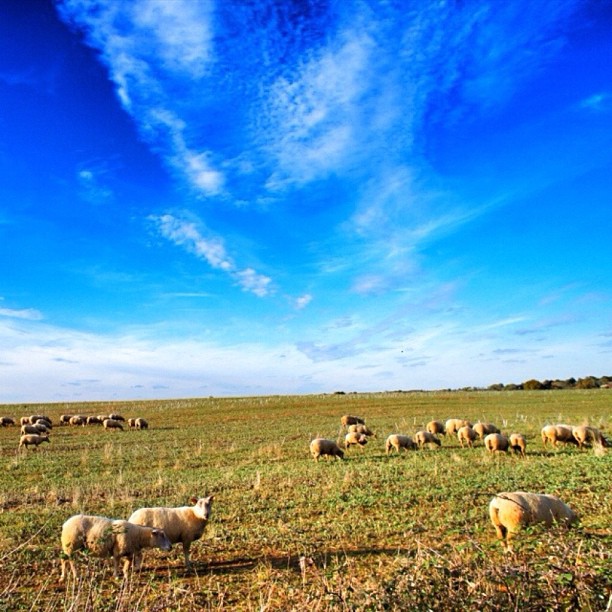
Photo iPhone gardée pour un jour sans soleil. #sky #iphone4s #landscape #igersfrance #instagood #sheep
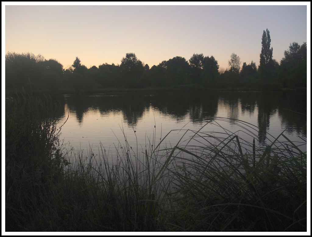
Aurore d'automne,
nuit tombante
The moment after

Frozen grass

Test Geotag-3
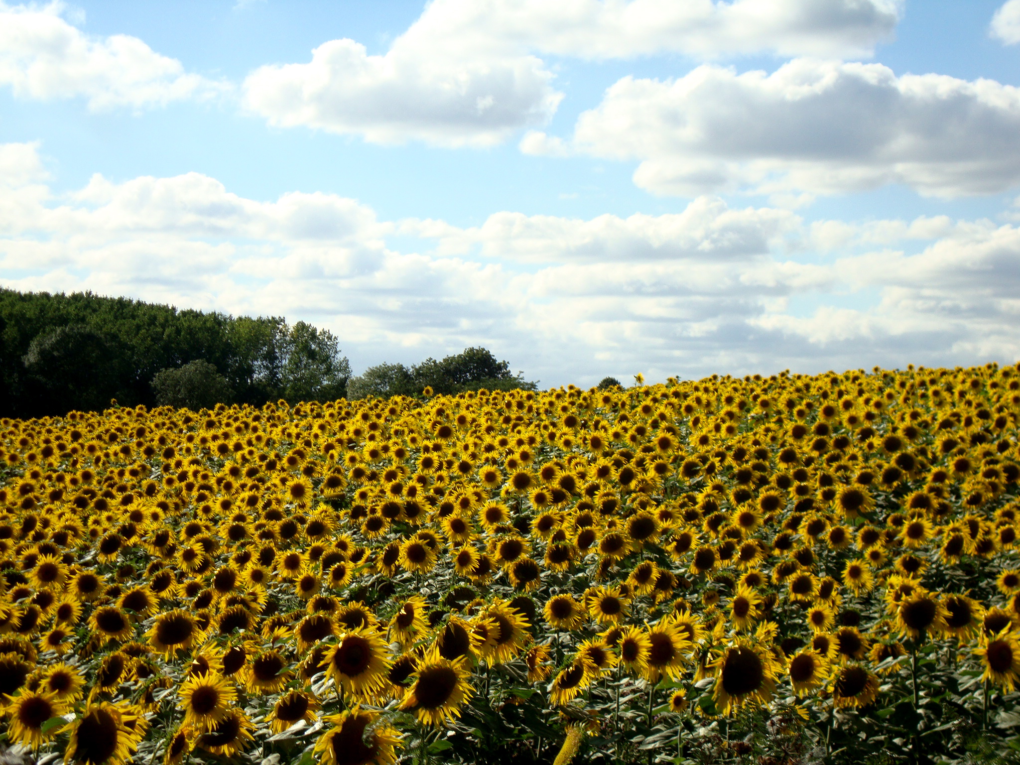
Ten minutes from the house: massive field of sunflowers!
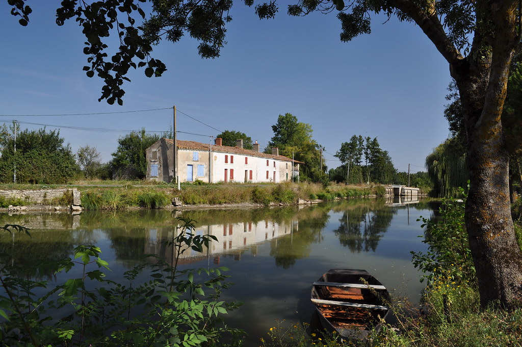
France Charente Le Marais Poitevin
beau temps Image To Video

Au-dessus de la 4 voies Cholet-Bressuire

Test Geotag-1

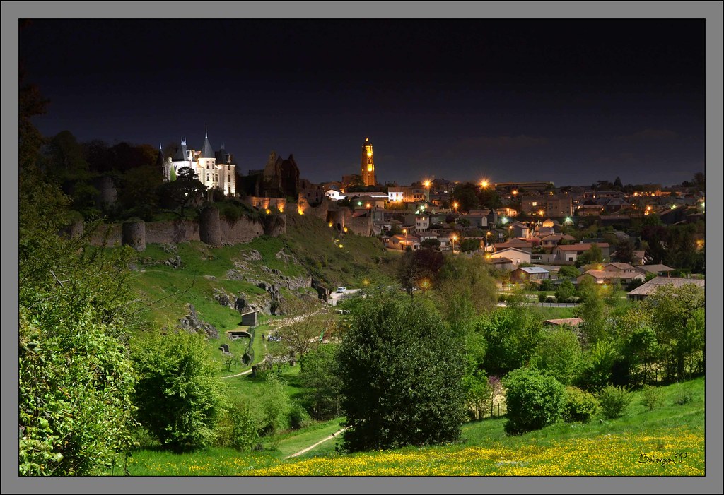
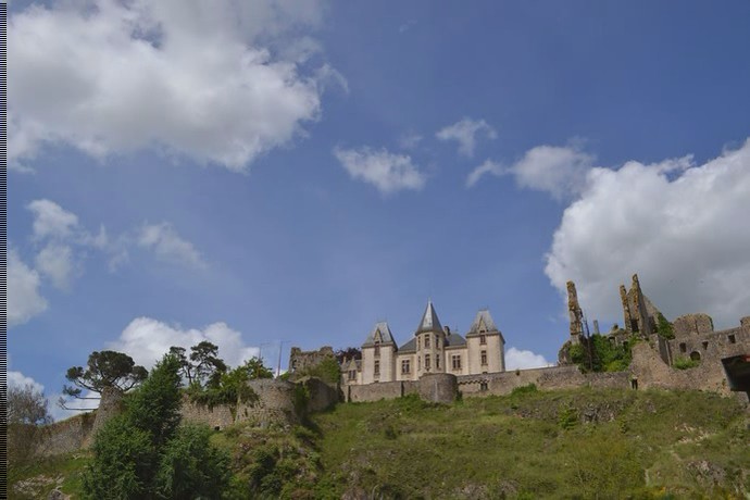
Château de Bressuire.

Visite guidée du quartier Saint Porchaire, Bressuire
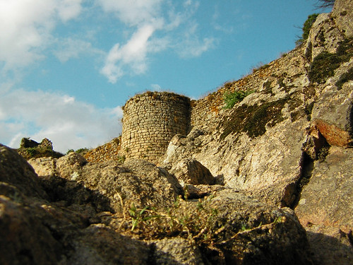
Rempart sud du château de Bressuire

Test Geotag-2
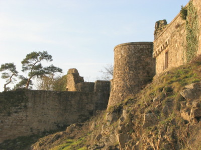
CHATEAU DE BRESSUIRE

Brume gâtinaise. #igersfrance #poitoucharentes #gmy #trees #jj_challenge #clouds #iphoneography
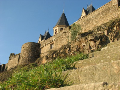
CHATEAU DE BRESSUIRE
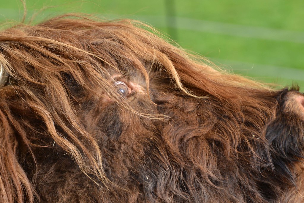
vache ecossaise_1
Topographic Map of 10 La Jaunelière, Cirières, France
Find elevation by address:

Places near 10 La Jaunelière, Cirières, France:
Cirières
4 Le Gachignard, Courlay, France
5 Les Ecorcins, Saint-Amand-sur-Sèvre, France
Saint-mesmin
Courlay
1 Le Bois au Jaud, Saint-Mesmin, France
28 Route de Clazay, Bressuire, France
4 La Gidalière, Saint-Amand-sur-Sèvre, France
Saint-amand-sur-sèvre
7 Gr Grande Rue, Voultegon, France
Voultegon
Moutiers-sous-chantemerle
Bressuire
7 Rue des Cures, Moutiers-Sous-Chantemerle, France
3 La Foreterie, Étusson, France
6 D, La Chapelle-Saint-Étienne, France
La Chapelle-saint-Étienne
20 Quartier de la Tonnellé Saint-Sauveur, Bressuire, France
2 La Loge, Étusson, France
Étusson
Recent Searches:
- Elevation of 15th Ave SE, St. Petersburg, FL, USA
- Elevation of Beall Road, Beall Rd, Florida, USA
- Elevation of Leguwa, Nepal
- Elevation of County Rd, Enterprise, AL, USA
- Elevation of Kolchuginsky District, Vladimir Oblast, Russia
- Elevation of Shustino, Vladimir Oblast, Russia
- Elevation of Lampiasi St, Sarasota, FL, USA
- Elevation of Elwyn Dr, Roanoke Rapids, NC, USA
- Elevation of Congressional Dr, Stevensville, MD, USA
- Elevation of Bellview Rd, McLean, VA, USA