Elevation of S rd E Ave, Coweta, OK, USA
Location: United States > Oklahoma > Wagoner County > Coweta > Country Village >
Longitude: -95.661427
Latitude: 35.9626754
Elevation: 192m / 630feet
Barometric Pressure: 99KPa
Elevation Map:
Satellite Map:
Related Photos:
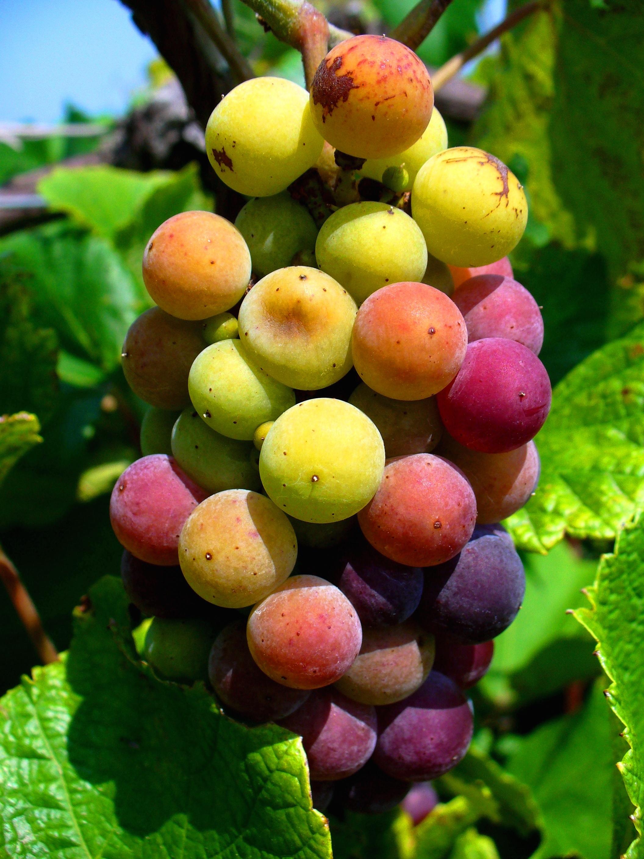
Stone Bluff Cellars

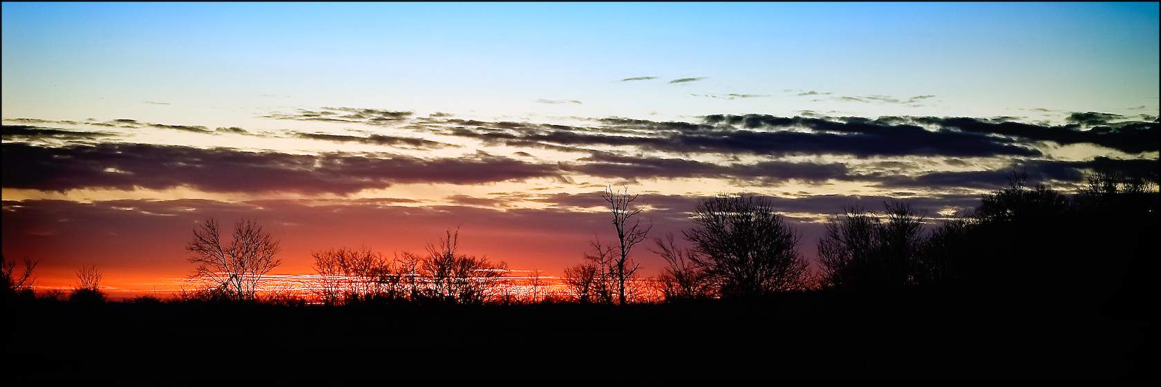
Sunrise HDR
Admiring the View

What's So Funny

Basking in the Sun v1
The #intheraw development in #downtownBA #rosedistrict is not quite done yet, but this is one of the views you can expect.
House on the Hill
NW Angle View_small
Broken Arrow
SW Angle View_small

Basking in the Sun v2
Stone Bluff Cellars
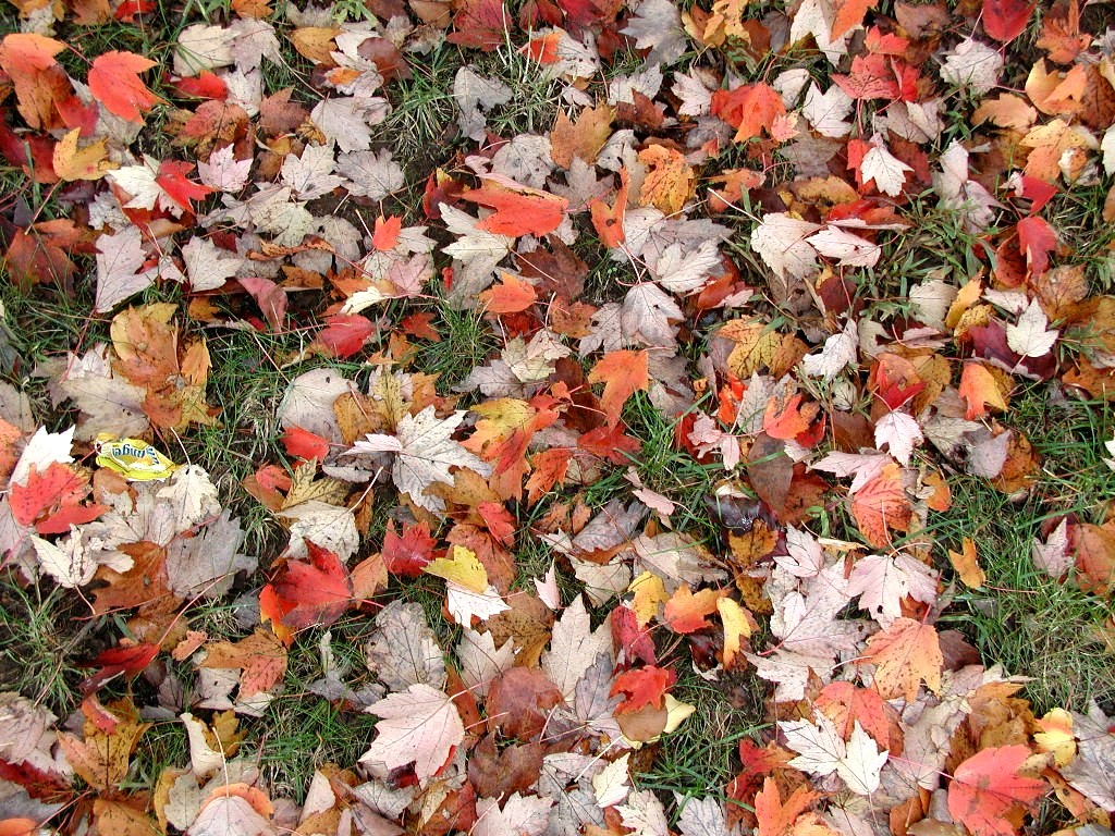
Autumn Leaves

Rose District
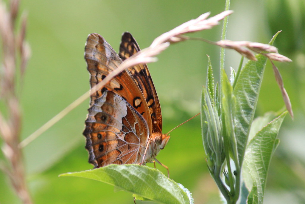
Variegated Fritillary
20180505-133600-4

My second attempt
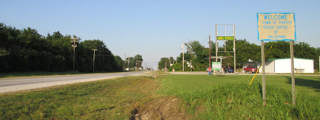
Porter, Oklahoma
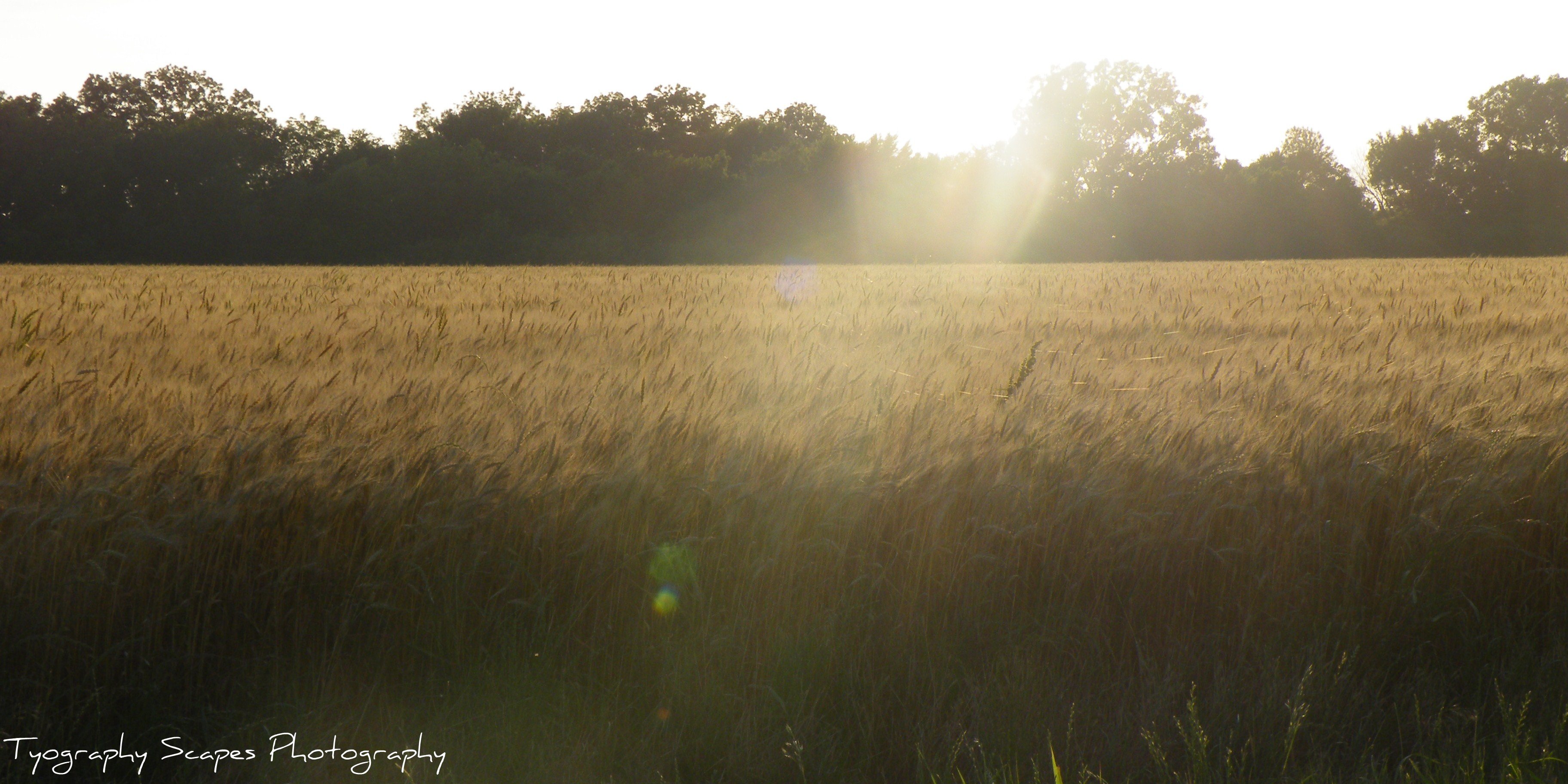
Amber waves of Grain

Beginning The Day
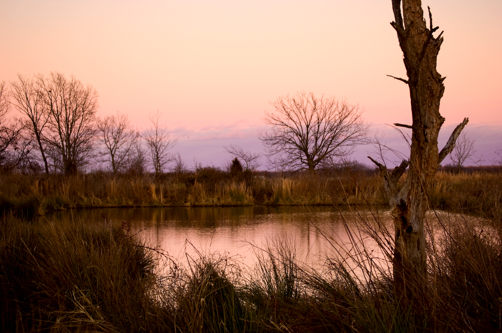
Hidden Pond
20180505-133556-2

Thistle field
Near Leonard, OK

Haskell cemetery
Morning Before Christmas

Barn 2

Taken in the Haskell, Oklahoma Cemetery
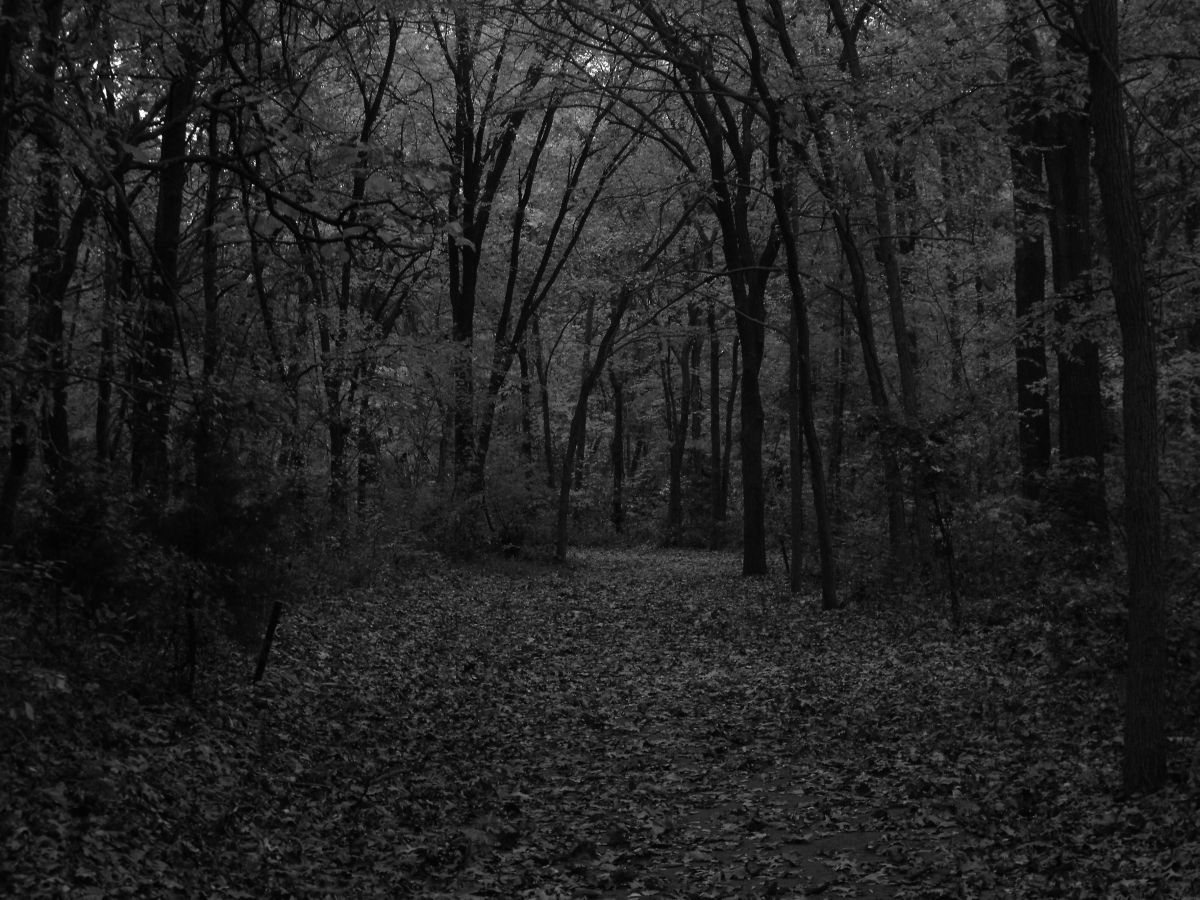
Dark Fall Forest
Carrera Summer Camp Phone 002

Parking Lot at Sunset
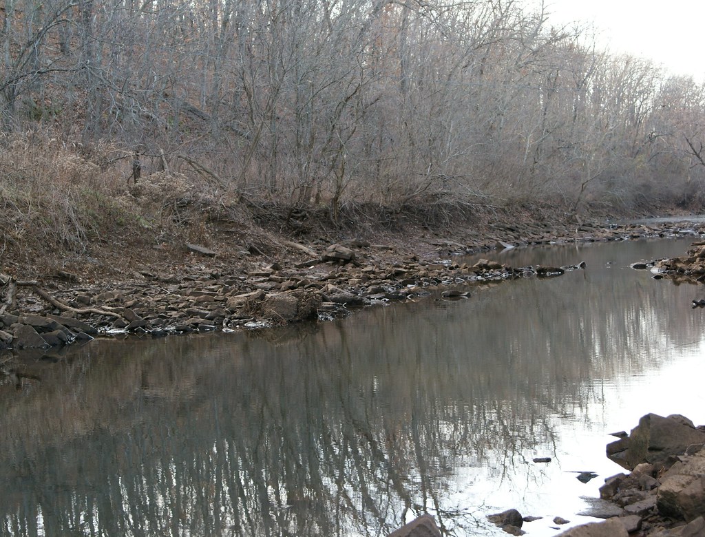
calm waters upstream
Topographic Map of S rd E Ave, Coweta, OK, USA
Find elevation by address:

Places near S rd E Ave, Coweta, OK, USA:
Country Village
South 273rd East Avenue
Coweta
Robyn's Flower Garden
28084 E 150 St S
28084 E 150 St S
30045 E 143rd St S
26188 E 131st St S
21365 South St
11244 S 274th E Ave
East 111th Street South
East 111th Street South
11205 S 249th E Ave
East 201st South
25487 East 191st St S
25487 E0780 Rd
228 W Timberlane St
506 Fairway Dr
The Club At Indian Springs
Broken Arrow Lanes Bowling Center
Recent Searches:
- Elevation of Lampiasi St, Sarasota, FL, USA
- Elevation of Elwyn Dr, Roanoke Rapids, NC, USA
- Elevation of Congressional Dr, Stevensville, MD, USA
- Elevation of Bellview Rd, McLean, VA, USA
- Elevation of Stage Island Rd, Chatham, MA, USA
- Elevation of Shibuya Scramble Crossing, 21 Udagawacho, Shibuya City, Tokyo -, Japan
- Elevation of Jadagoniai, Kaunas District Municipality, Lithuania
- Elevation of Pagonija rock, Kranto 7-oji g. 8"N, Kaunas, Lithuania
- Elevation of Co Rd 87, Jamestown, CO, USA
- Elevation of Tenjo, Cundinamarca, Colombia