Elevation of Country Village, Coweta, OK, USA
Location: United States > Oklahoma > Wagoner County > Coweta >
Longitude: -95.657626
Latitude: 35.9630452
Elevation: 193m / 633feet
Barometric Pressure: 99KPa
Elevation Map:
Satellite Map:
Related Photos:
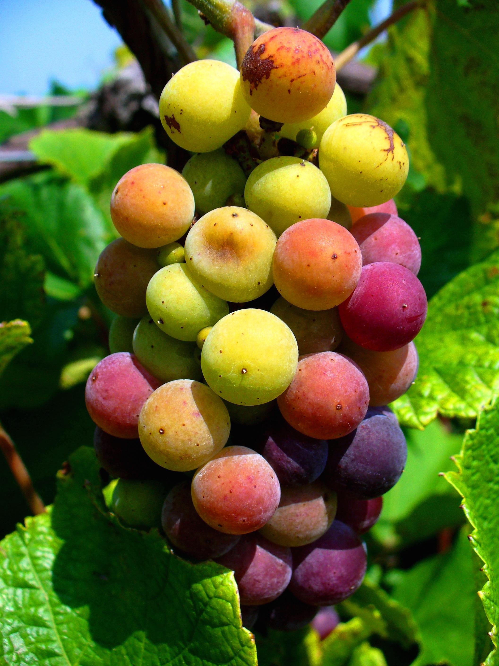
Stone Bluff Cellars

Sunrise HDR

Admiring the View

What's So Funny

The #intheraw development in #downtownBA #rosedistrict is not quite done yet, but this is one of the views you can expect.

Broken Arrow

Basking in the Sun v2

Basking in the Sun v1

NW Angle View_small

SW Angle View_small

House on the Hill

Amber waves of Grain

Variegated Fritillary

Beginning The Day

Porter, Oklahoma
Off To See The Wizard

Rose District

big splashin'

calm waters upstream
Wicked Clouds

Parking Lot at Sunset

Amber waves of Grain

Stone Bluff Cellars

Centennial Park - Copy

Hidden Pond

Dark Fall Forest
Taken in the Haskell, Oklahoma Cemetery

100821-SkydiveTulsa-0117

Fire In The Sky

Chasing A Rainbow

Taken in the Haskell, Oklahoma Cemetery

Morning Before Christmas
Topographic Map of Country Village, Coweta, OK, USA
Find elevation by address:

Places near Country Village, Coweta, OK, USA:
13741 S 283rd E Ave
Coweta
Robyn's Flower Garden
South 273rd East Avenue
28084 E 150 St S
28084 E 150 St S
30045 E 143rd St S
26188 E 131st St S
21365 South St
11244 S 274th E Ave
East 111th Street South
East 111th Street South
11205 S 249th E Ave
East 201st South
25487 East 191st St S
25487 E0780 Rd
228 W Timberlane St
506 Fairway Dr
The Club At Indian Springs
Broken Arrow Lanes Bowling Center
Recent Searches:
- Elevation of Elwyn Dr, Roanoke Rapids, NC, USA
- Elevation of Congressional Dr, Stevensville, MD, USA
- Elevation of Bellview Rd, McLean, VA, USA
- Elevation of Stage Island Rd, Chatham, MA, USA
- Elevation of Shibuya Scramble Crossing, 21 Udagawacho, Shibuya City, Tokyo -, Japan
- Elevation of Jadagoniai, Kaunas District Municipality, Lithuania
- Elevation of Pagonija rock, Kranto 7-oji g. 8"N, Kaunas, Lithuania
- Elevation of Co Rd 87, Jamestown, CO, USA
- Elevation of Tenjo, Cundinamarca, Colombia
- Elevation of Côte-des-Neiges, Montreal, QC H4A 3J6, Canada