Elevation of S Main St, Swainsboro, GA, USA
Location: United States > Georgia > Emanuel County > Swainsboro >
Longitude: -82.320946
Latitude: 32.561815
Elevation: 96m / 315feet
Barometric Pressure: 100KPa
Elevation Map:
Satellite Map:
Related Photos:

Fireworks on the 4th
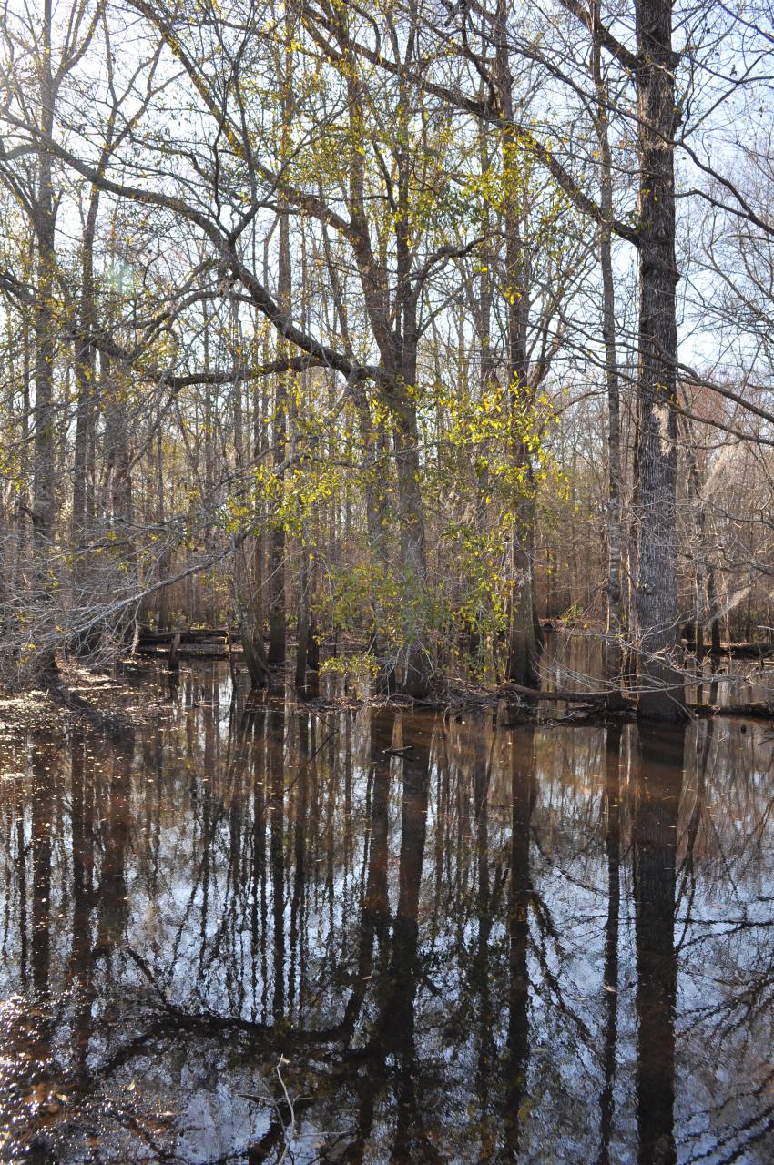
Ohoopee River, 7
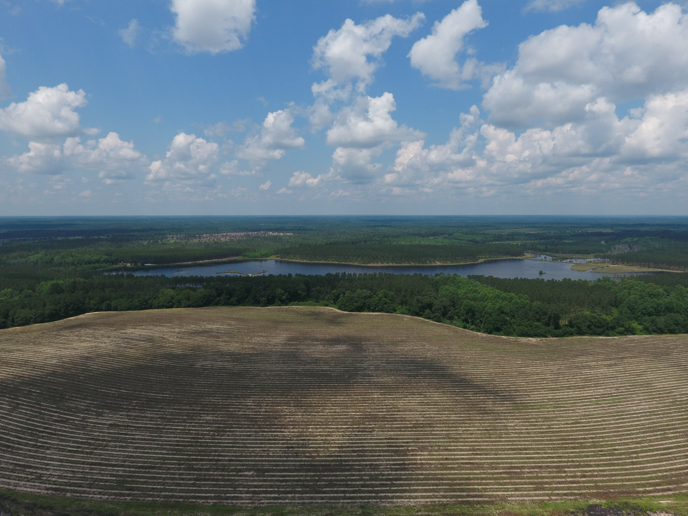
Georgia from above

Emanuel County
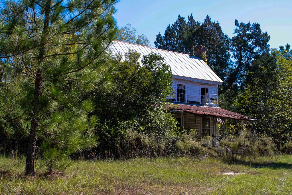
Once Was Home

Afternoon paddle on Mill Pond courtesy of Mill Pond Kayak. #kayak #gastateparks #exploregeorgia #outdoorfamilies #georgiapaddling
Topographic Map of S Main St, Swainsboro, GA, USA
Find elevation by address:

Places near S Main St, Swainsboro, GA, USA:
Emanuel County
Swainsboro
426 W Church St
Nunez Rd, Swainsboro, GA, USA
Fellowship St, Swainsboro, GA, USA
156 Modoc Rd
85 Nunez Lexsy Rd, Swainsboro, GA, USA
374 Country Rd 66
Halls Bridge Road
GA-56, Swainsboro, GA, USA
Stillmore
S 2nd St, Stillmore, GA, USA
Twin City
Canoochee Garfield Rd, Twin City, GA, USA
Canoochee
72 Summertown Main St, Summertown, GA, USA
Summertown
Ga-192 & Lawrence Sherrod Rd
Ga-192 & Lawrence Sherrod Rd
Ga-192 & Lawrence Sherrod Rd
Recent Searches:
- Elevation of Great Brook Sports, Gold Star Hwy, Groton, CT, USA
- Elevation of 10 Mountain Laurels Dr, Nashua, NH, USA
- Elevation of 16 Gilboa Ln, Nashua, NH, USA
- Elevation of Laurel Rd, Townsend, TN, USA
- Elevation of 3 Nestling Wood Dr, Long Valley, NJ, USA
- Elevation of Ilungu, Tanzania
- Elevation of Yellow Springs Road, Yellow Springs Rd, Chester Springs, PA, USA
- Elevation of Rēzekne Municipality, Latvia
- Elevation of Plikpūrmaļi, Vērēmi Parish, Rēzekne Municipality, LV-, Latvia
- Elevation of 2 Henschke Ct, Caboolture QLD, Australia