Elevation of S Main St, Lexington, VA, USA
Location: United States > Virginia > Lexington >
Longitude: -79.450512
Latitude: 37.7749845
Elevation: 330m / 1083feet
Barometric Pressure: 97KPa
Elevation Map:
Satellite Map:
Related Photos:
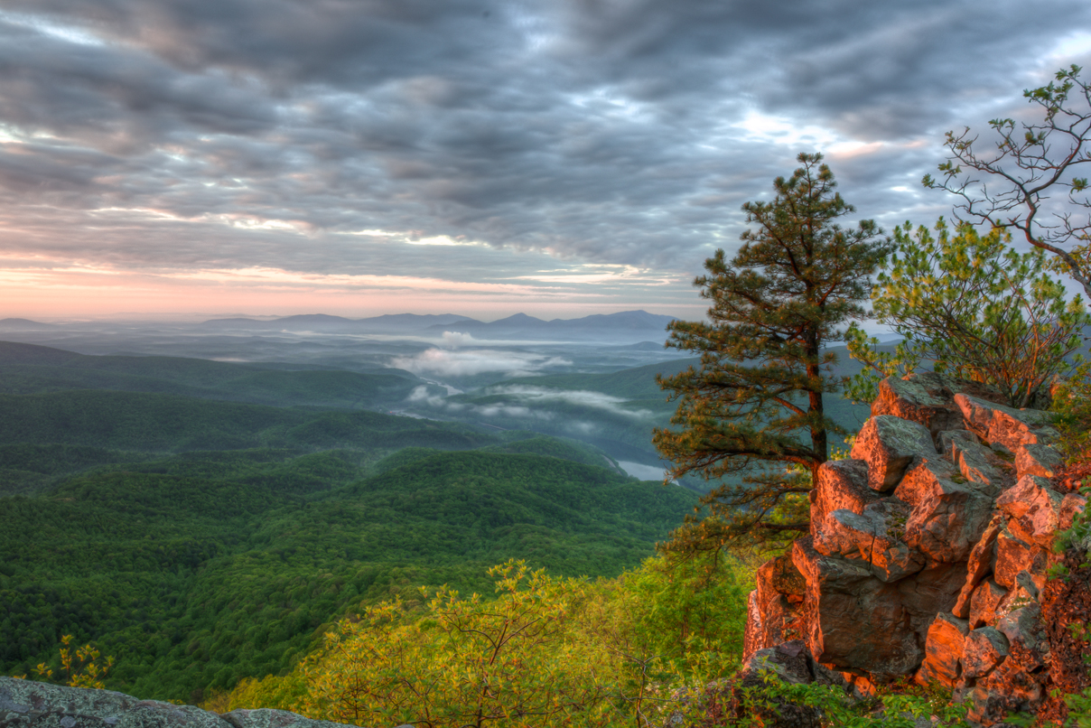
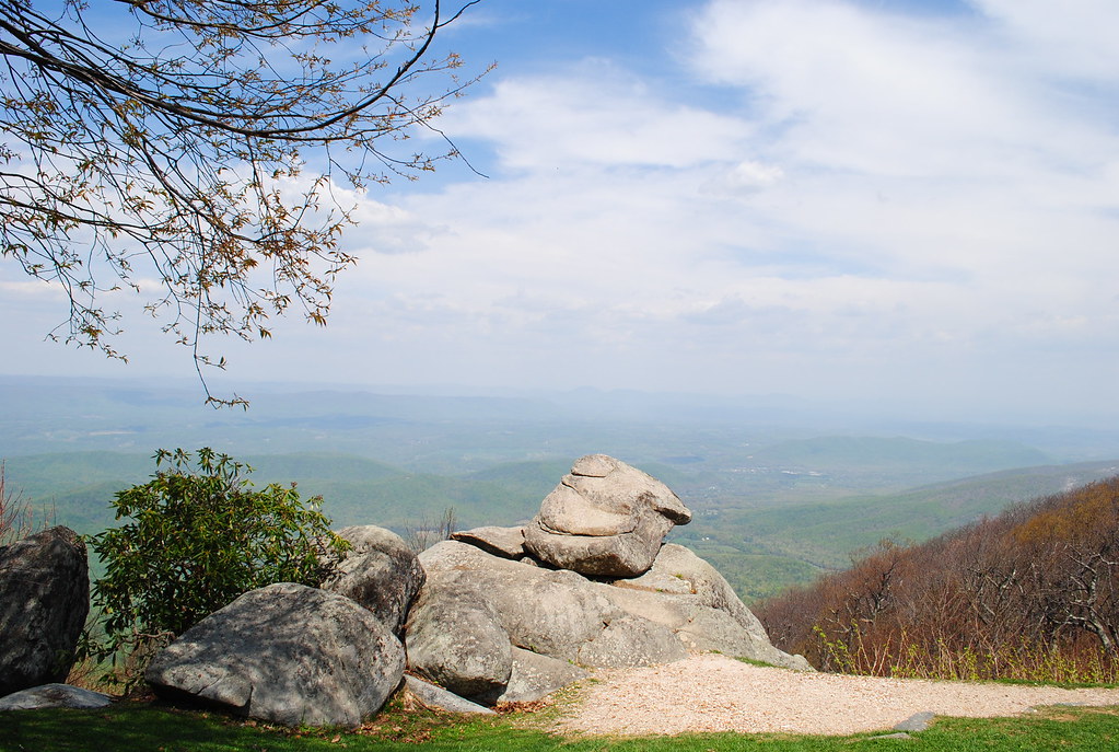
Fullers Rocks (Little Rocky Row)
Old Farm Road

Rock Climber
View from my office
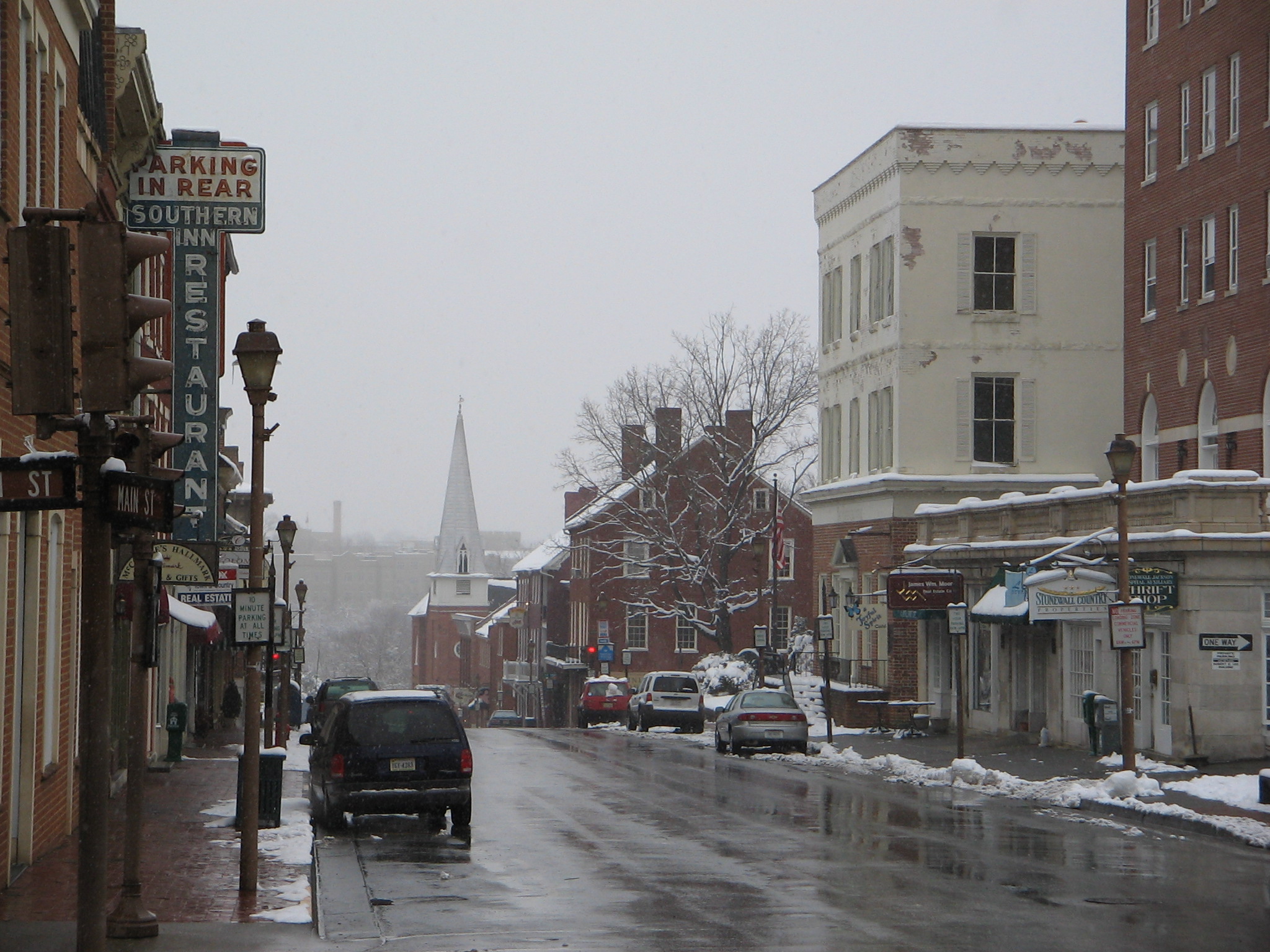
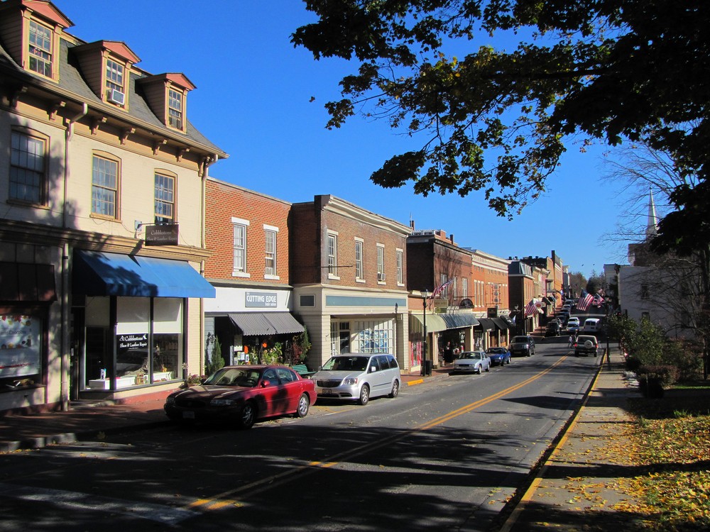
Main Street
Sunday Afternoon in Lexington

zzzz's
Parkway Panorama

For your patriotic viewing pleasure
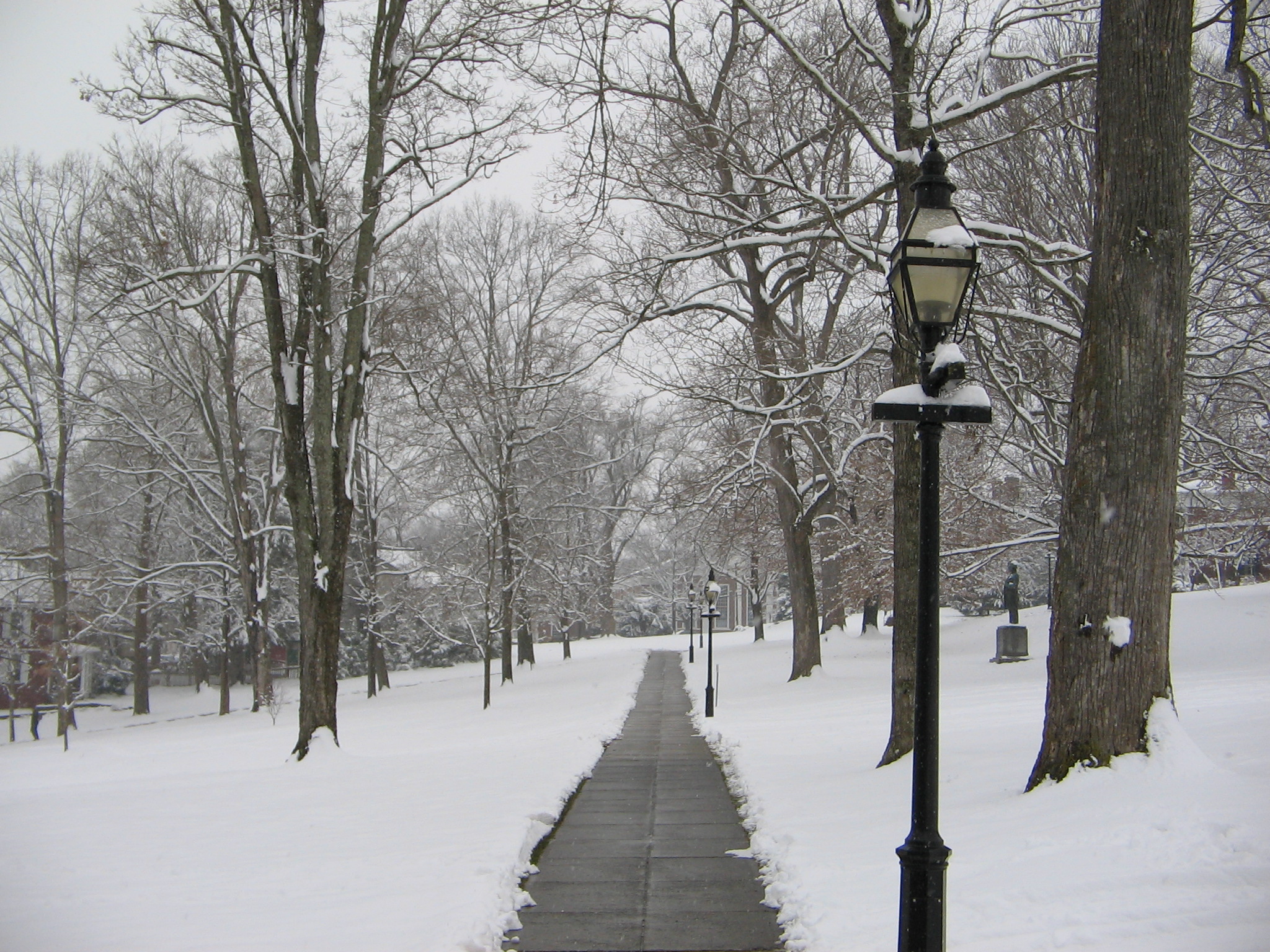
Washington and Lee University Campus
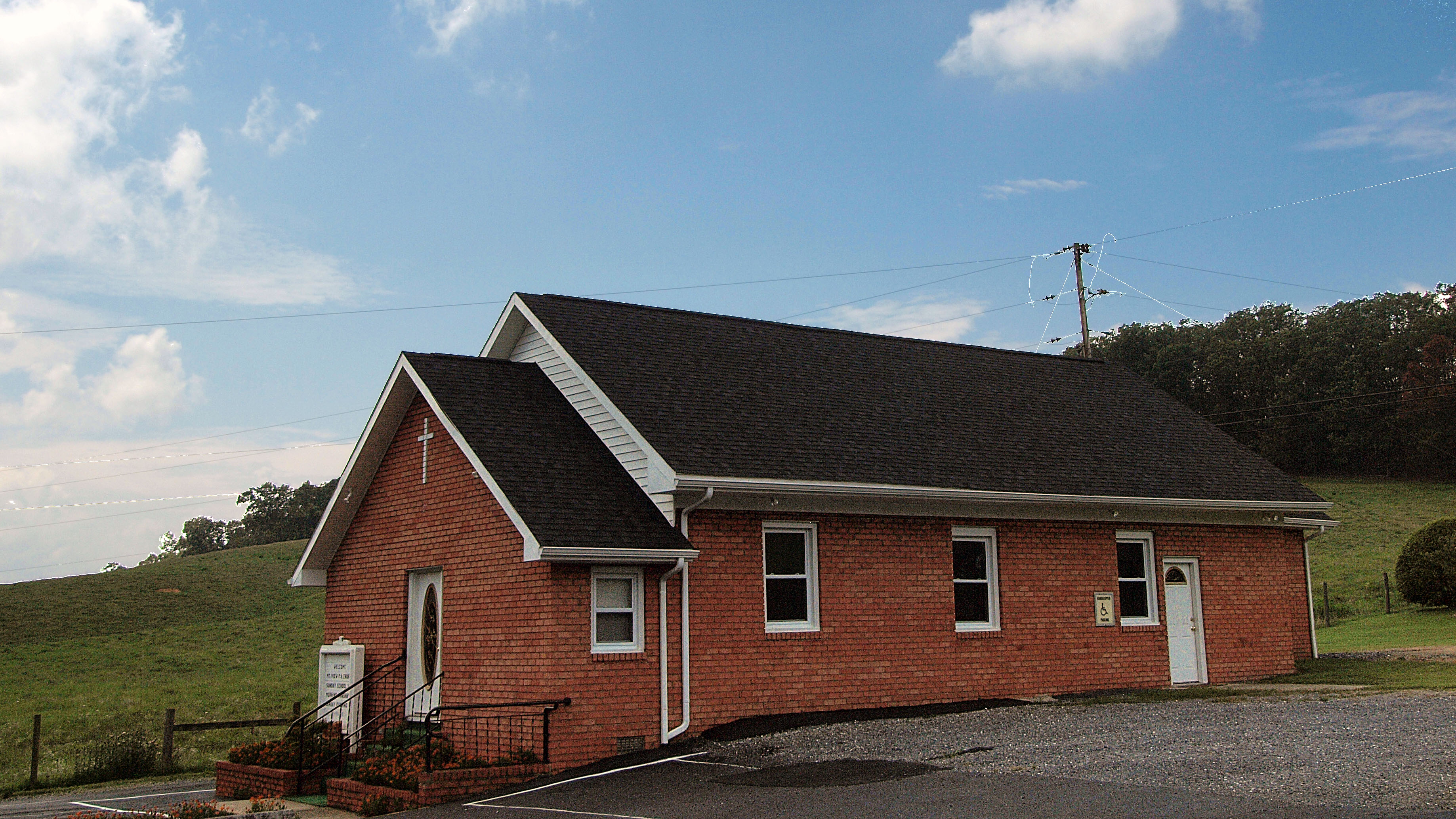
Mt. View Pentacostal
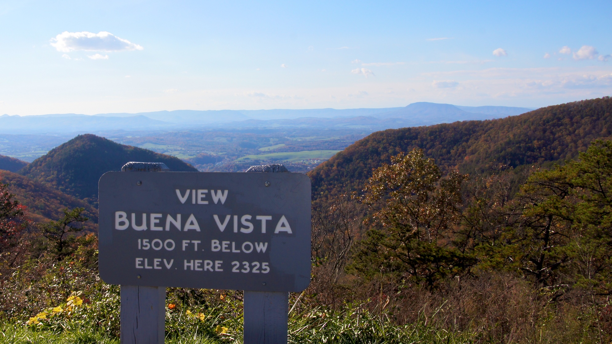
ARNOLDS VALLEY OVERLOOK
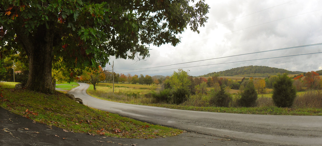
Meandering Mackey's Lane
Chimney Rock Mountain Overlook
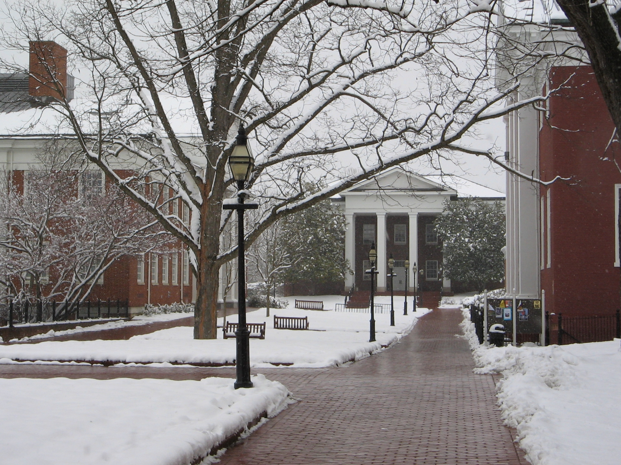
Washington and Lee University Campus

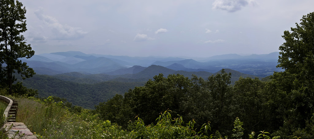
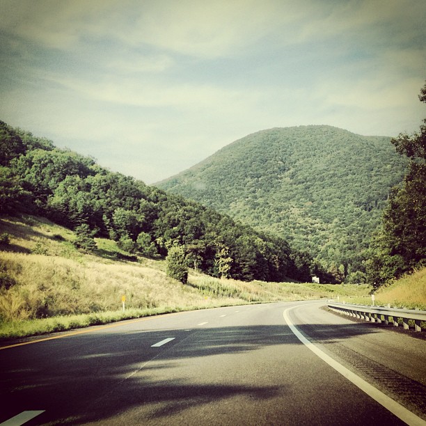
Blue Ridge Parkway
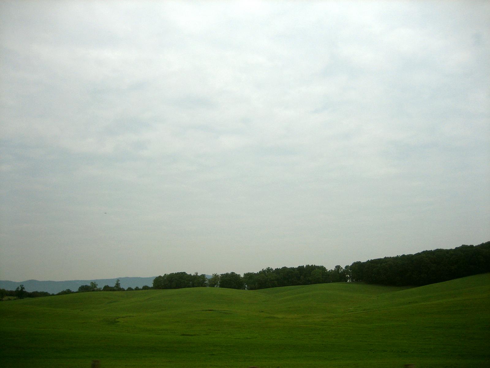
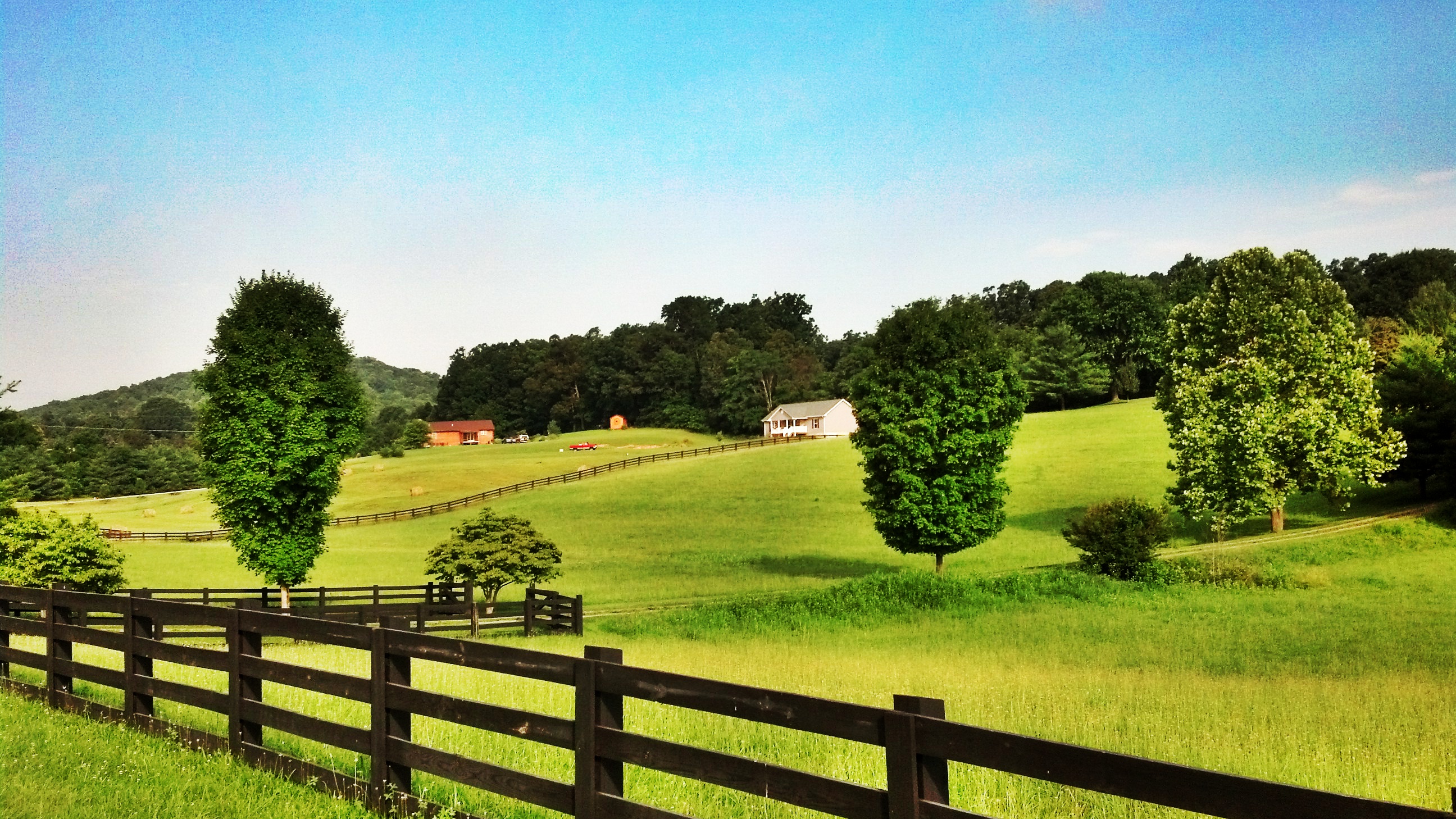
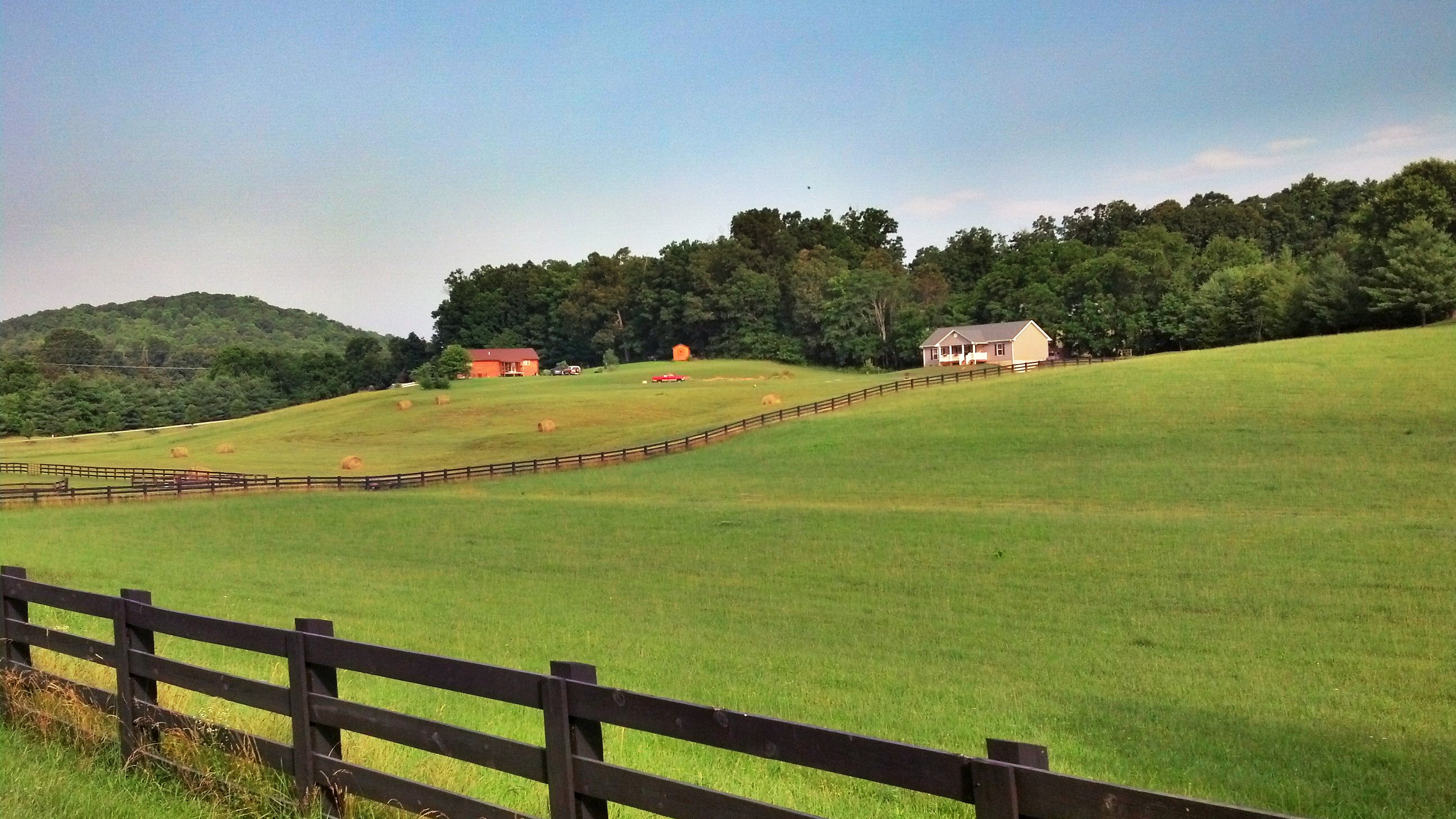
Rolling Hills

Humpreys Gap
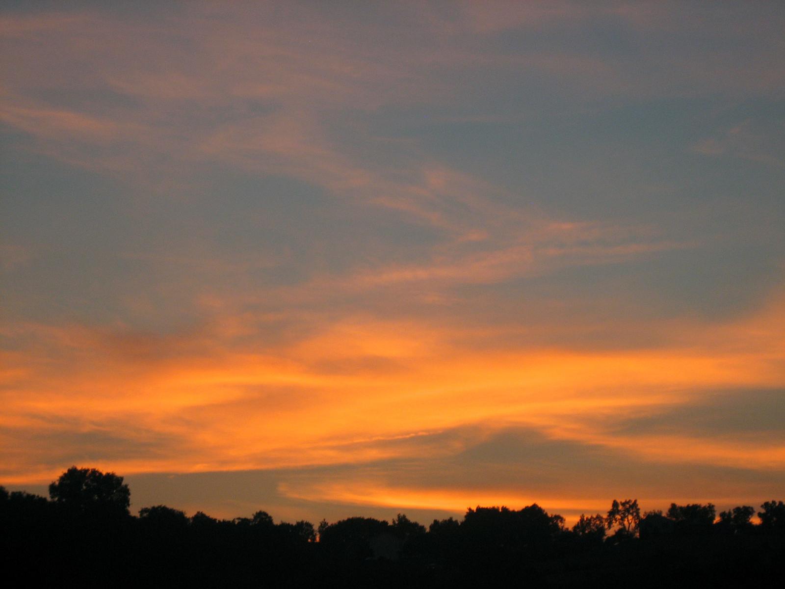
Sunset in Lexington
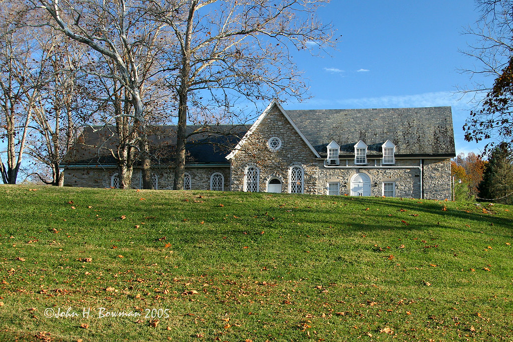
Timber Ridge Presbyterian Church
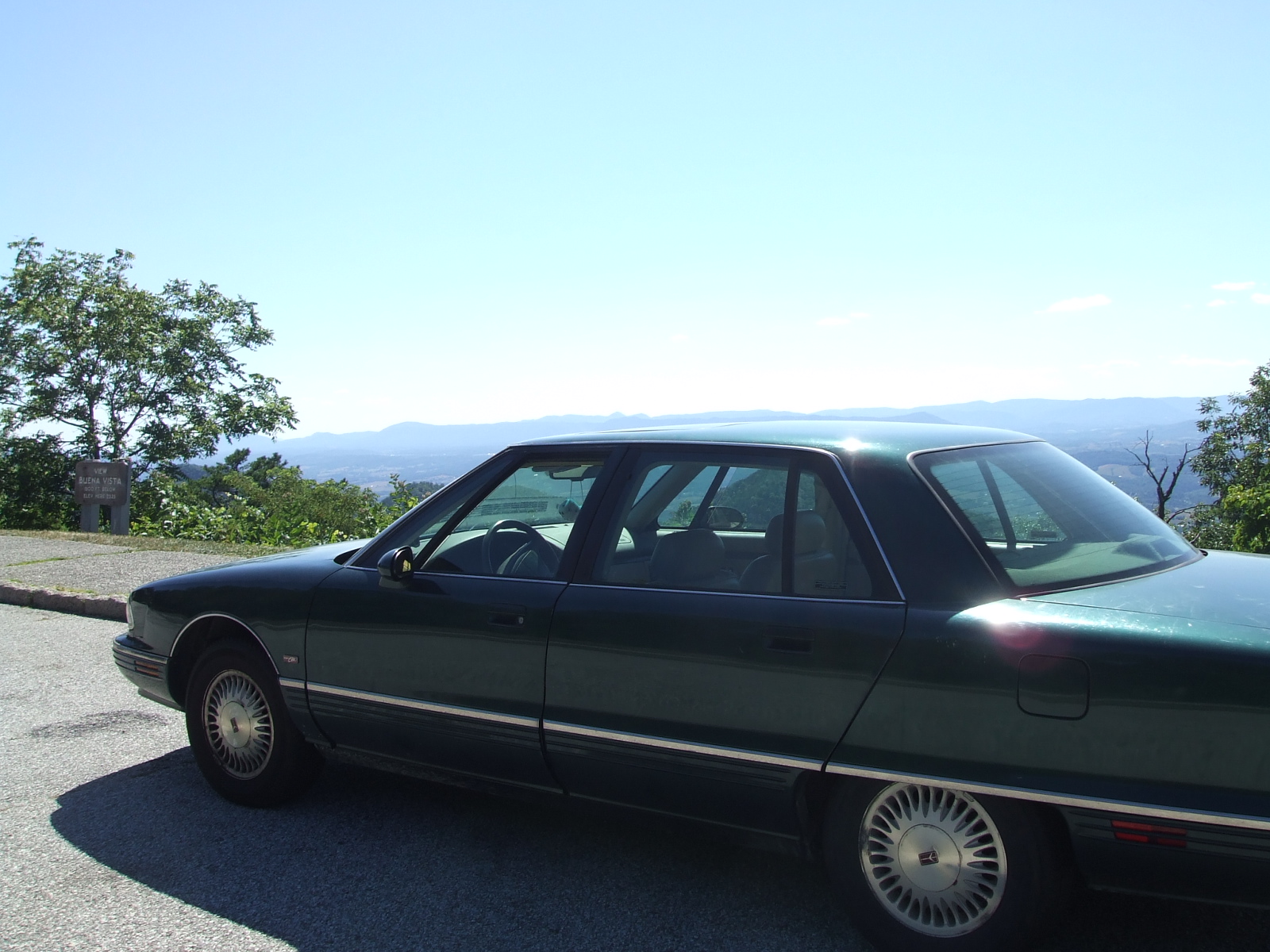
my car taking in the view
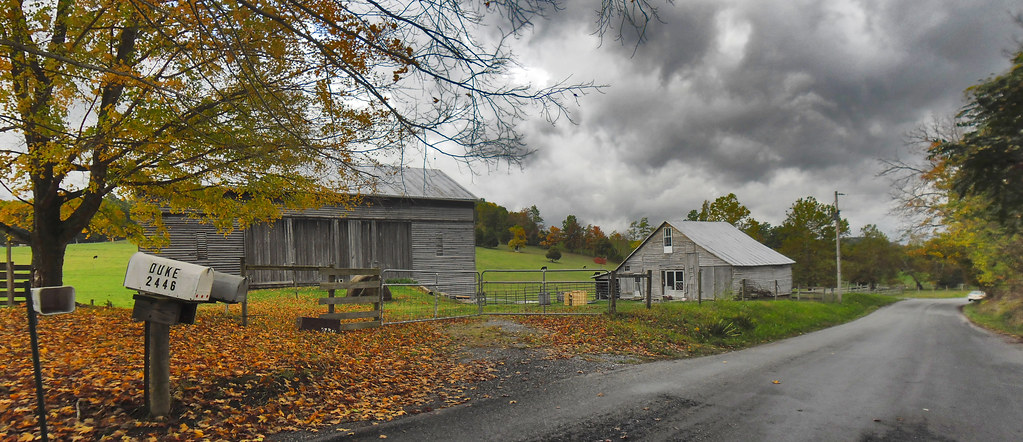
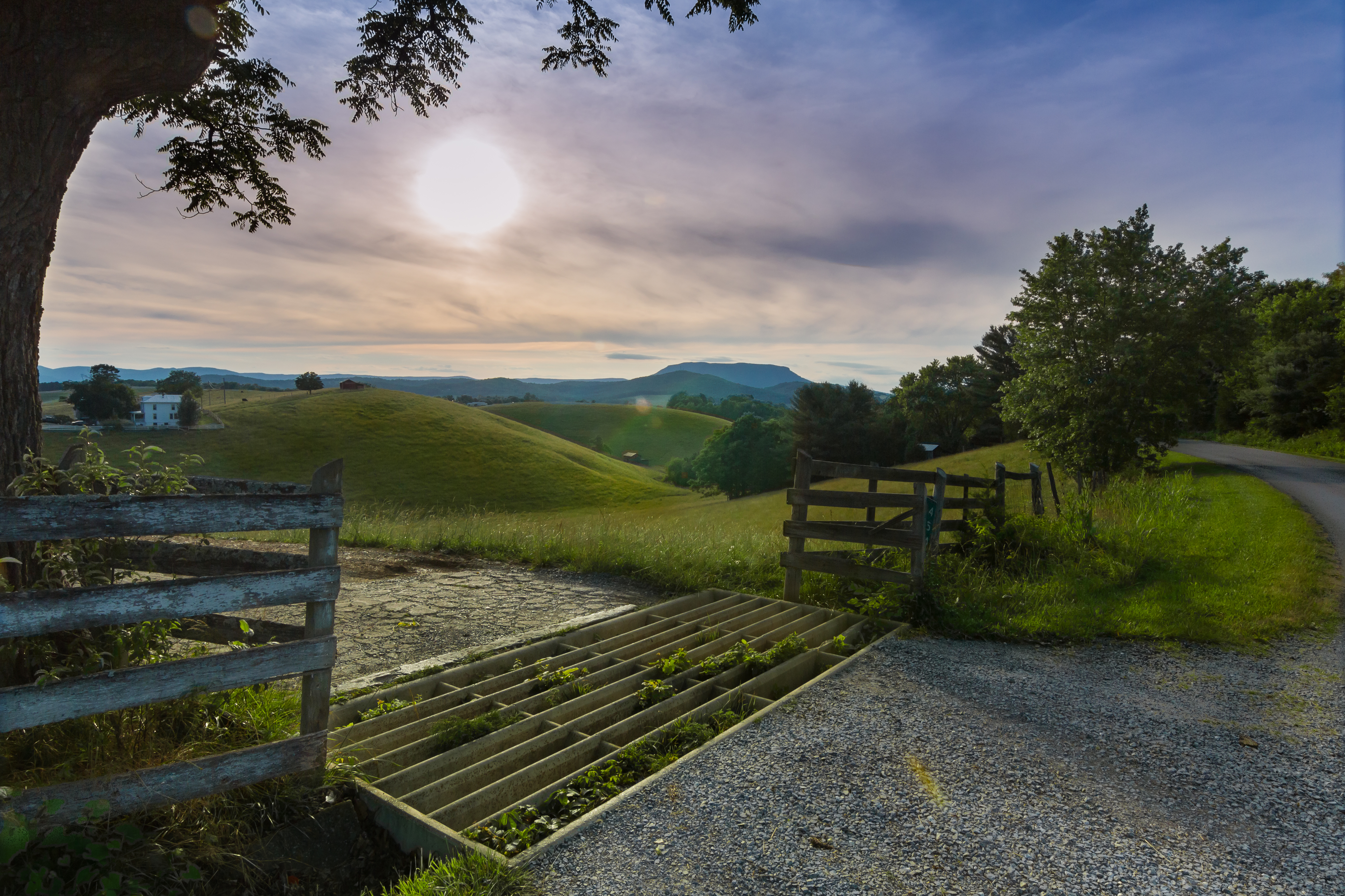
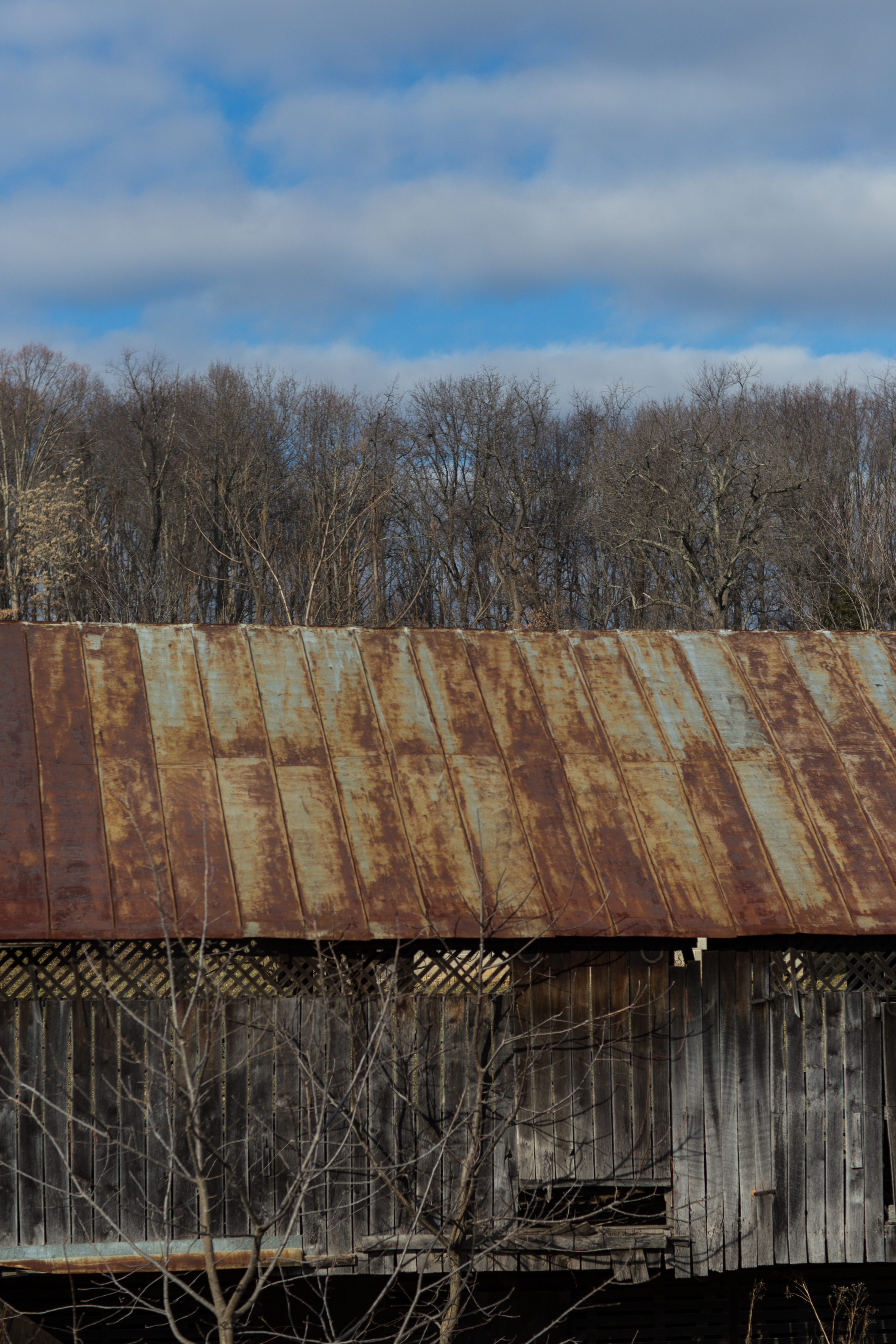
A Small Farm on a Rainy Day

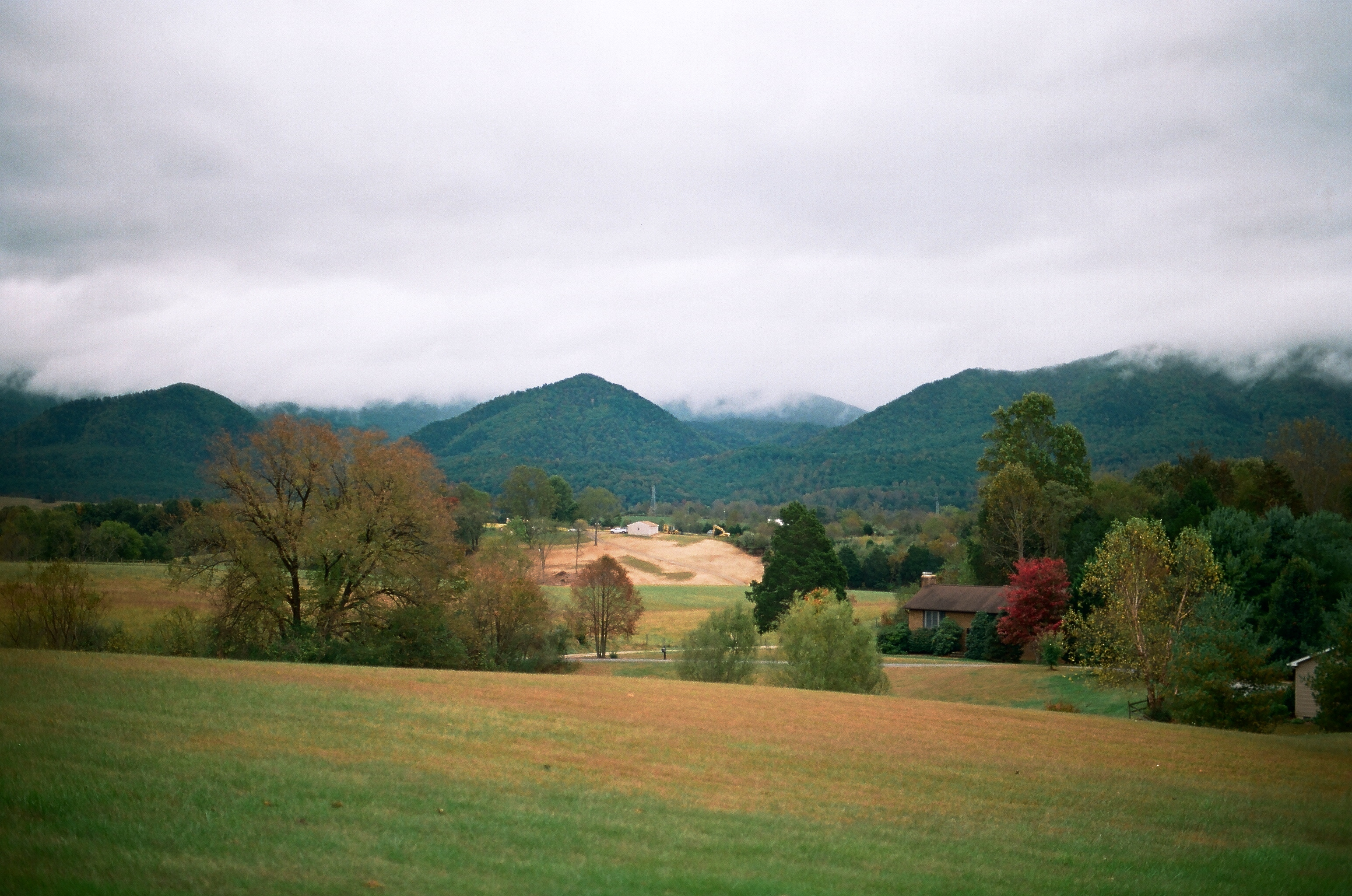
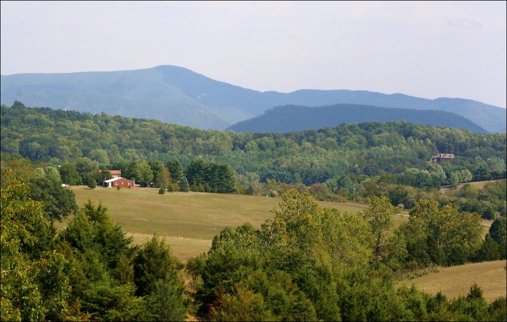
Rockbridge County Va.
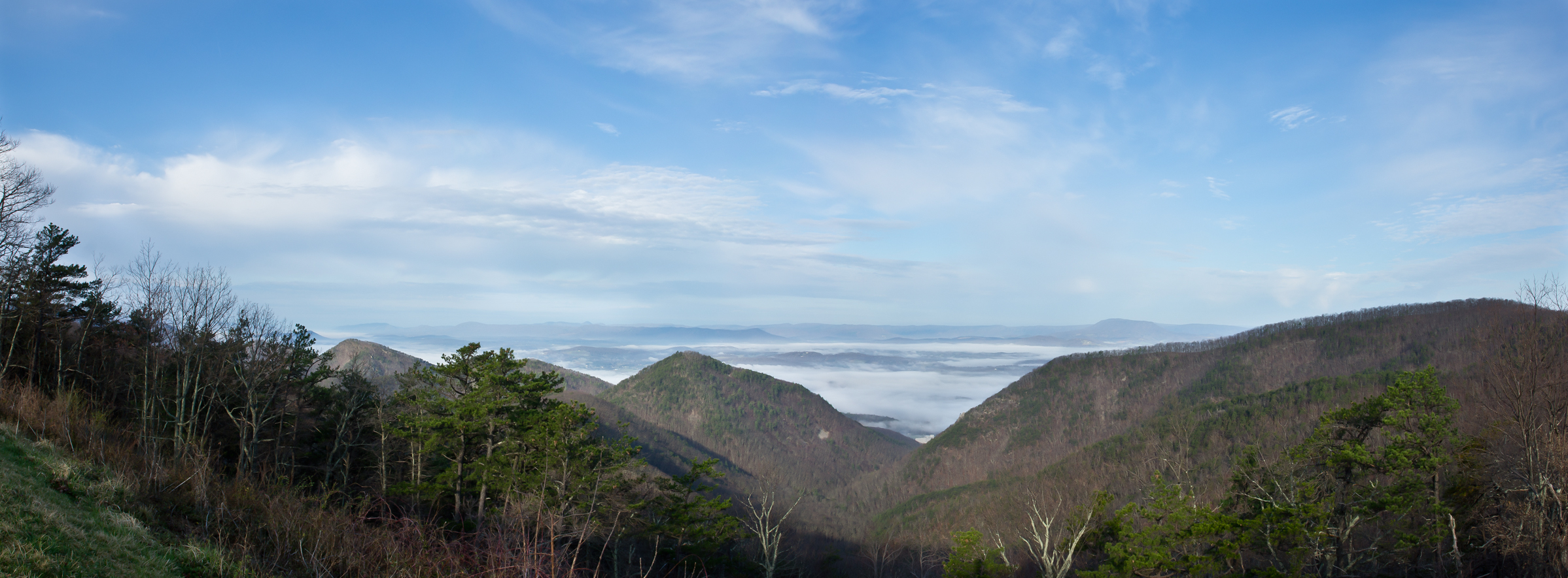
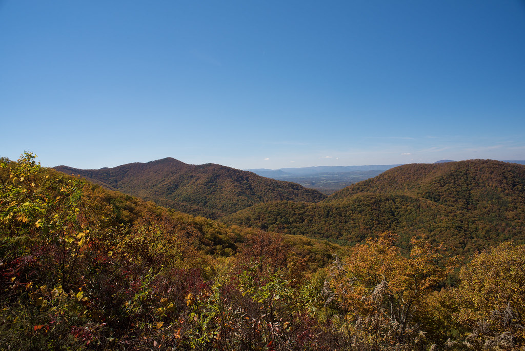
Shenandoah Valley from the Blue Ridge Parkway, Virginia
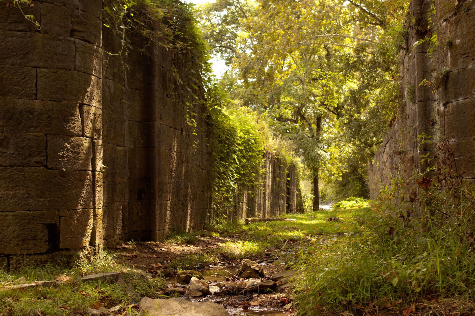
Falling Spring

Life, as I want to know it
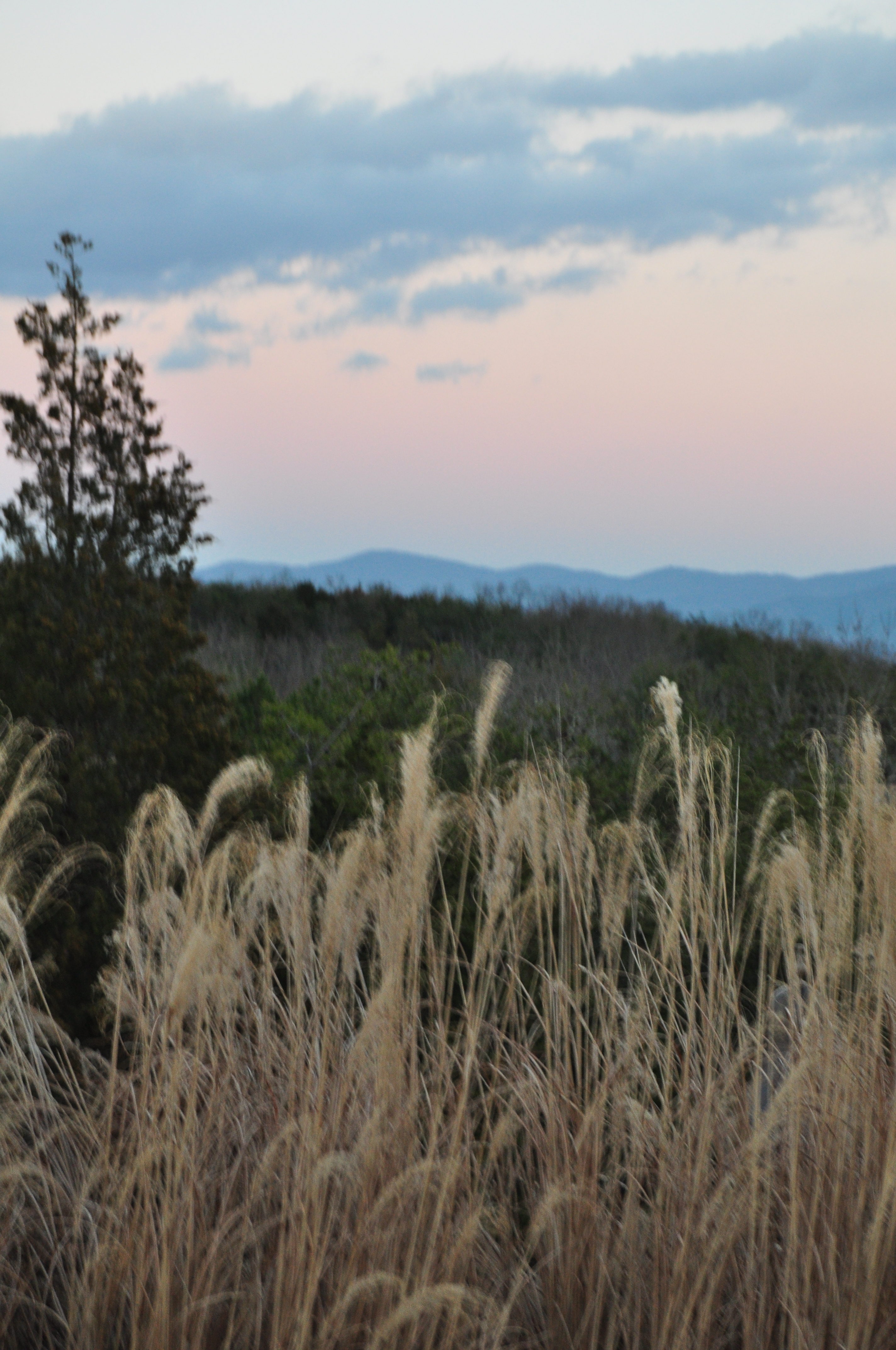
mountains hidden in low clouds

walk up me, these steps say
2013-06-24 08.28.43-1

DSC00907 194 Panther Falls
Run the gauntlet
she'll be coming 'round the mountain when she comes...
such beauty
2013-06-24 08.28.57
DSC_0643.jpg
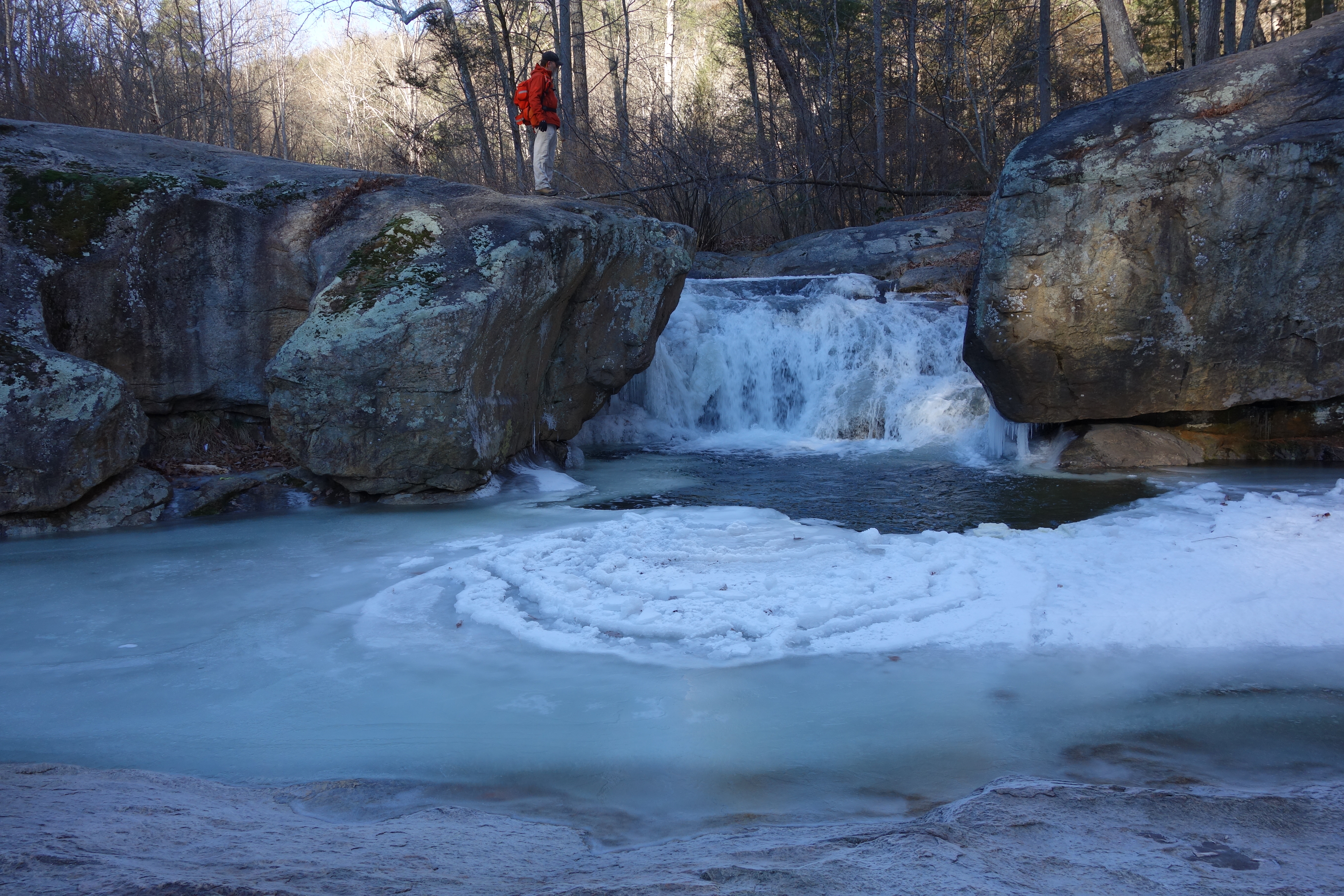
DSC00904 194 Panther Falls
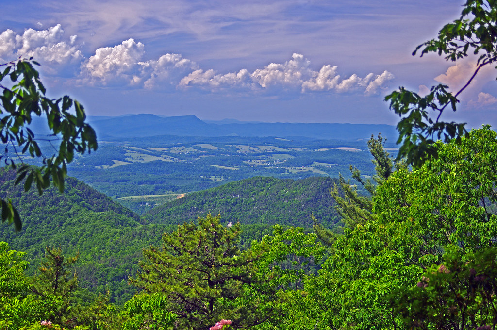
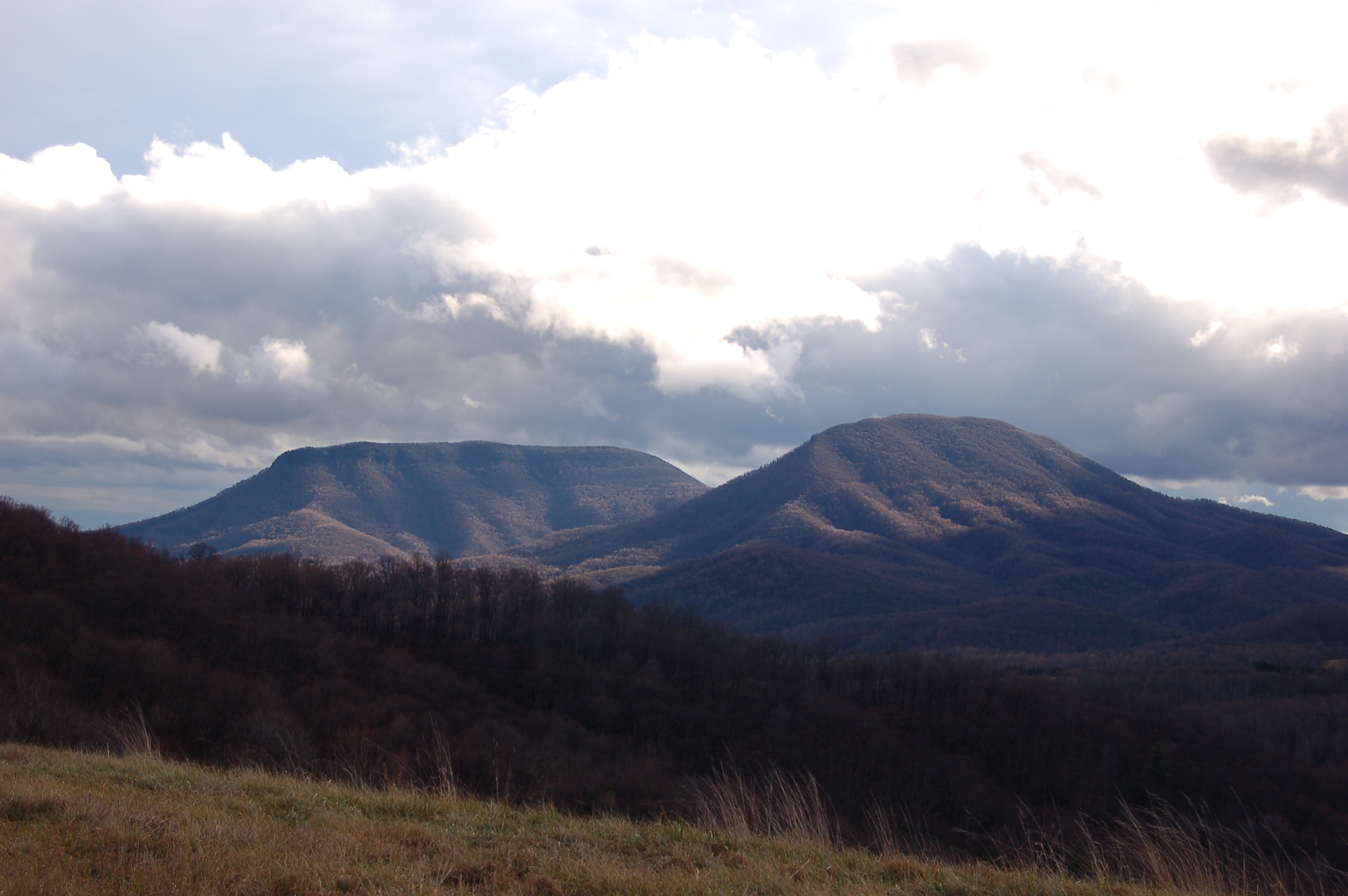
Shenandoah Valley
IMG_6668.jpg
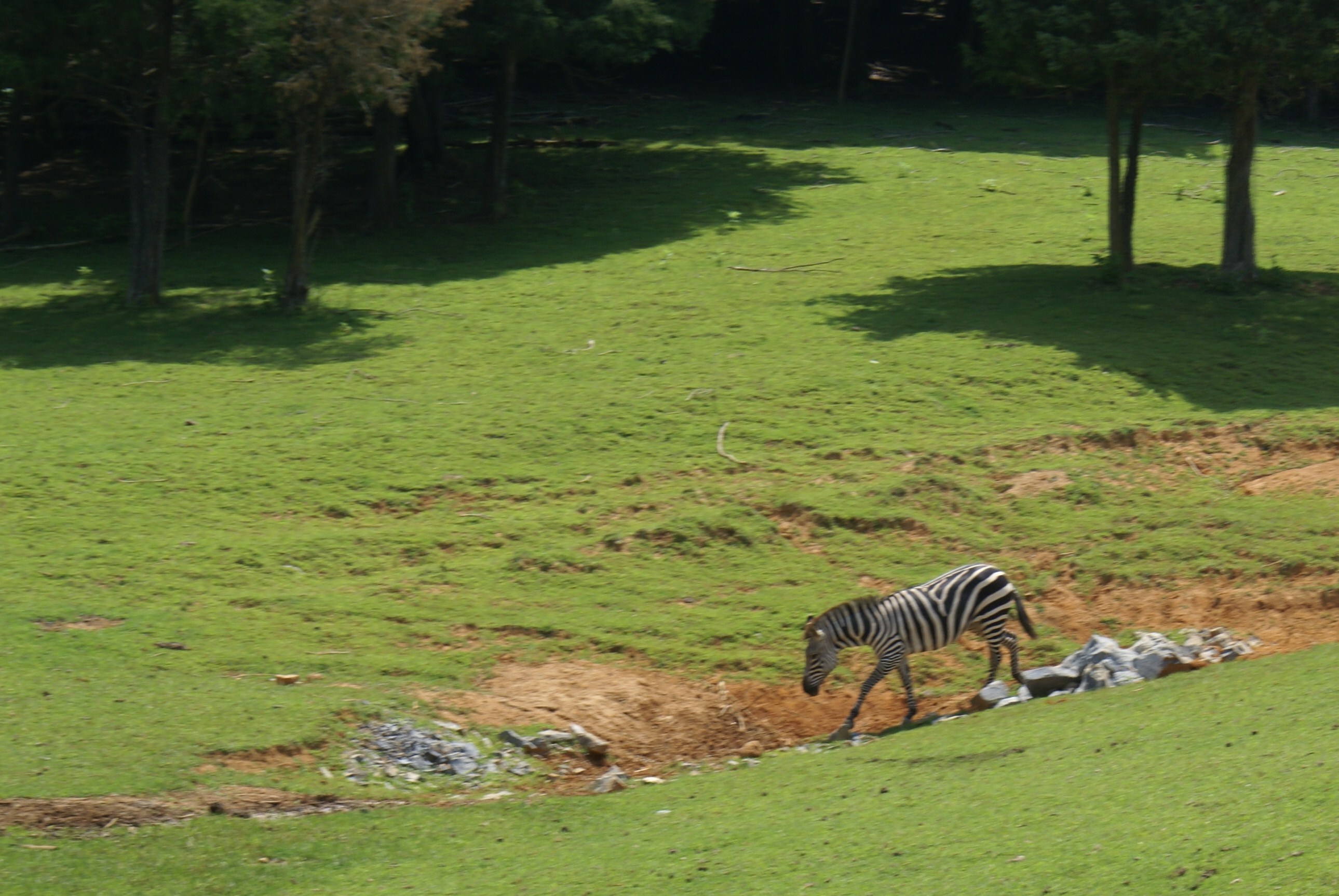
zebra[3]
DSC_5412.JPG
Topographic Map of S Main St, Lexington, VA, USA
Find elevation by address:

Places near S Main St, Lexington, VA, USA:
Lexington
37 S Main St
Virginia Military Institute
Preston Library - Virginia Military Institute
East Lexington
122 Wesley Chapel Rd
122 Wesley Chapel Rd
Blue Hills Lane
850 Wesley Chapel Rd
40 Reese Ridge Ln
233 Trimble Trail
1 Monte Carlo Ln
Buffalo
255 Old Oaks Ln
Buena Vista
774 Longhollow Rd
2207 Chestnut Ave
2544 Spruce Ave
Target Hill
Glasgow
Recent Searches:
- Elevation of Tenjo, Cundinamarca, Colombia
- Elevation of Côte-des-Neiges, Montreal, QC H4A 3J6, Canada
- Elevation of Bobcat Dr, Helena, MT, USA
- Elevation of Zu den Ihlowbergen, Althüttendorf, Germany
- Elevation of Badaber, Peshawar, Khyber Pakhtunkhwa, Pakistan
- Elevation of SE Heron Loop, Lincoln City, OR, USA
- Elevation of Slanický ostrov, 01 Námestovo, Slovakia
- Elevation of Spaceport America, Co Rd A, Truth or Consequences, NM, USA
- Elevation of Warwick, RI, USA
- Elevation of Fern Rd, Whitmore, CA, USA