Elevation of S Main St, Janesville, MN, USA
Location: United States > Minnesota > Waseca County >
Longitude: -93.707906
Latitude: 44.1160872
Elevation: 326m / 1070feet
Barometric Pressure: 97KPa
Elevation Map:
Satellite Map:
Related Photos:

Milky Way Panorama

Cassiopeia At Light Speed
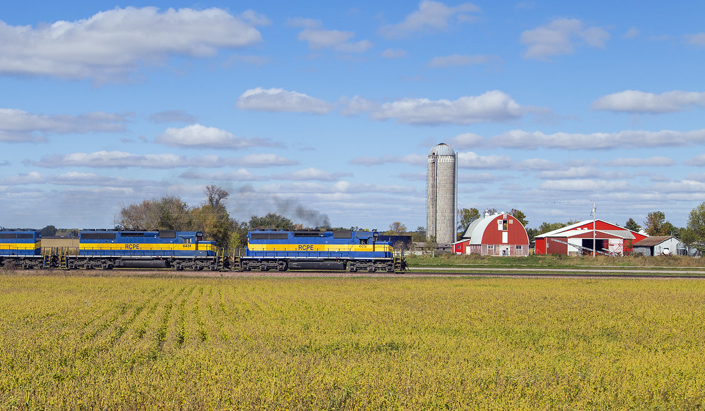
Rural Farmland & EMD's

Enallagma vesperum

Pachydiplax longipennis

Enallagma sp.

Enallagma vesperum

Fishing at sunset

Sympetrum vicinum
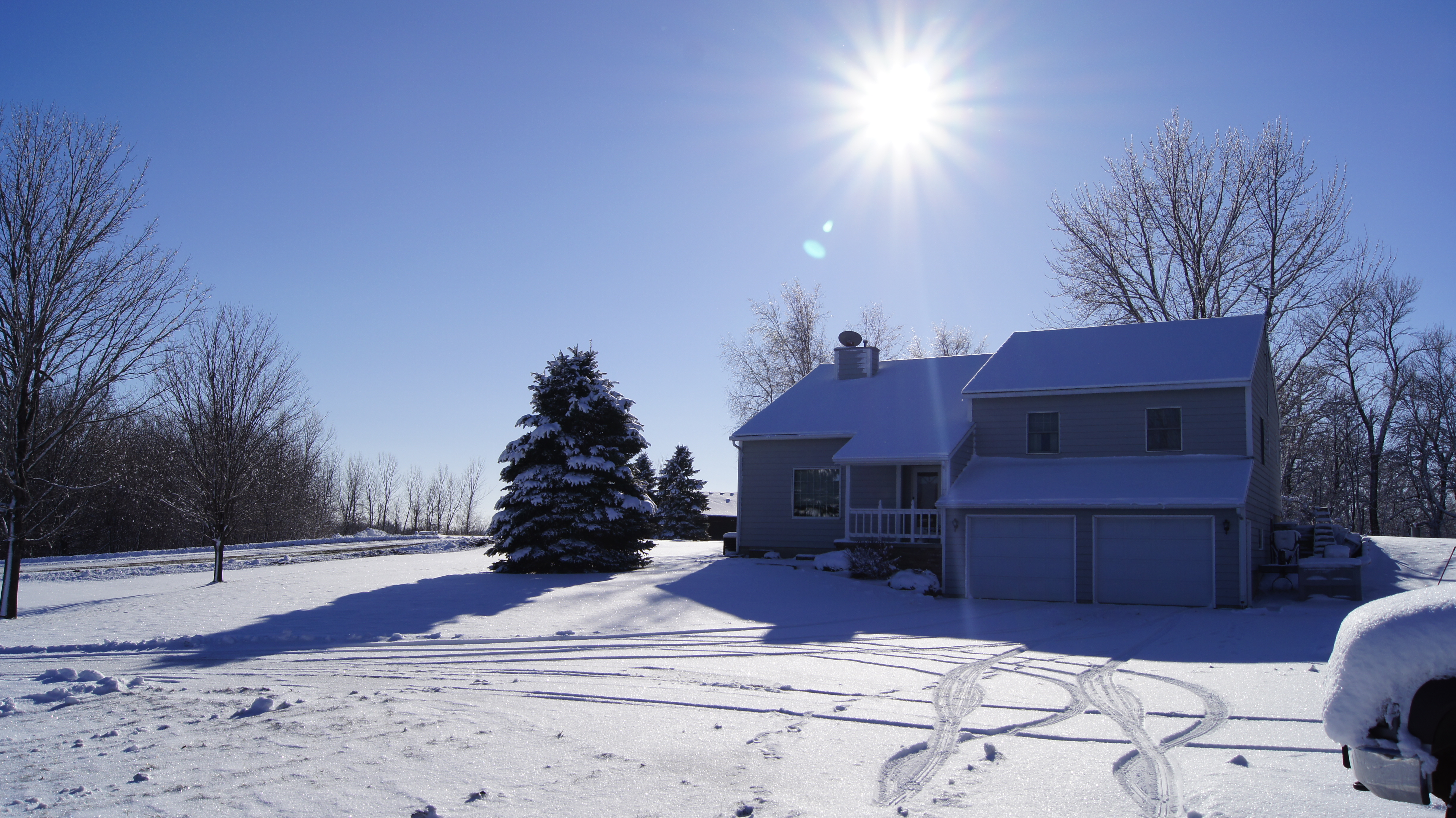
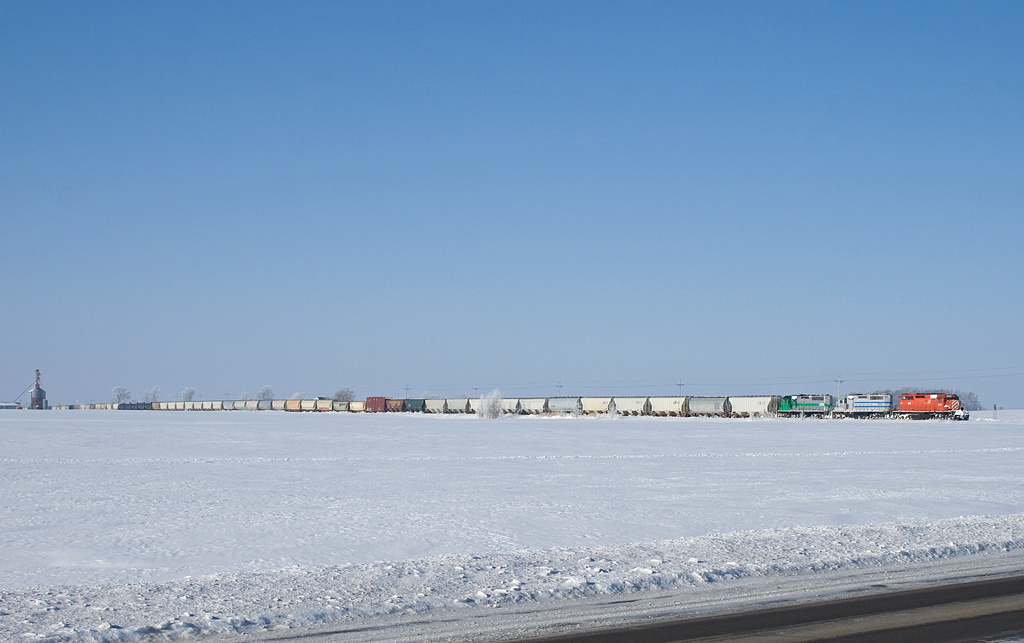
Snowy Landscape
RCPE 6052 - 470 - Janesville, MN

Relaxing by the lake...
Four Pack Greatness
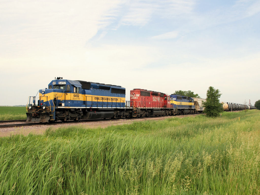
ICE 6452

As it should be...
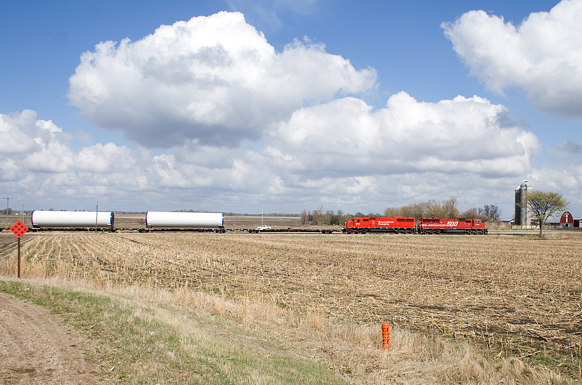
SOO 6062 Farm Southern MN

ICE 6401 West of Waseca, MN

CEFX 3139
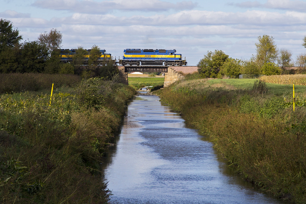
Waseca Eastbound

Waseca Nature ParkTrail

Janesville Minnesota, Waseca County MN

Simplicity: Just another Minnesota roadside attraction

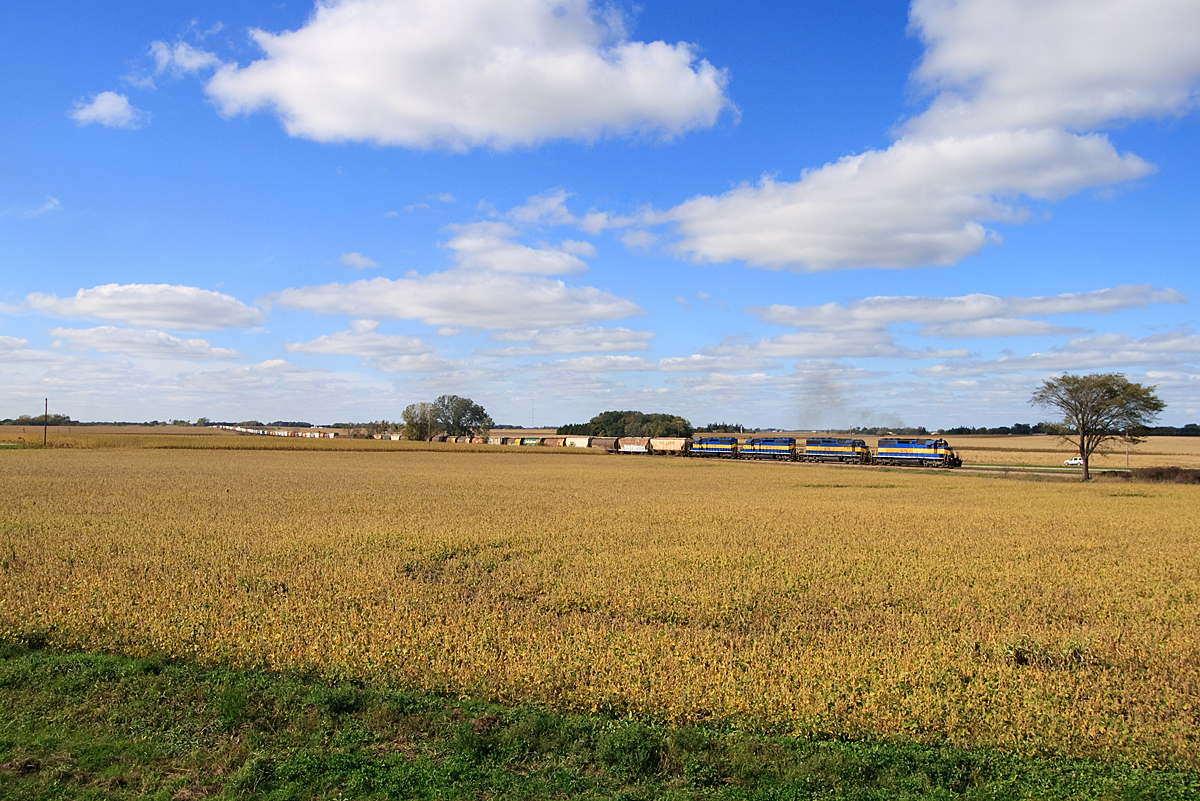
Wide Open Country
Topographic Map of S Main St, Janesville, MN, USA
Find elevation by address:

Places near S Main St, Janesville, MN, USA:
Elysian
20 NE 2nd St, Elysian, MN, USA
Klondike Hill
St. Mary Township
Chestnut Ave, Madison Lake, MN, USA
47742 241st Ave
Main St E, Mankato, MN, USA
47282 Beaver Dam Rd
Waseca County
Waseca Municipal Airport
Colodoro Ln, Eagle Lake, MN, USA
N 2nd St, Eagle Lake, MN, USA
Waldorf
Main St, Waldorf, MN, USA
100 11th Ave Nw
Waseca
S State St, Waseca, MN, USA
Cordova Township
All American Foods, Inc. - Waseca
409 4th Ave Ne
Recent Searches:
- Elevation of 72-31 Metropolitan Ave, Middle Village, NY, USA
- Elevation of 76 Metropolitan Ave, Brooklyn, NY, USA
- Elevation of Alisal Rd, Solvang, CA, USA
- Elevation of Vista Blvd, Sparks, NV, USA
- Elevation of 15th Ave SE, St. Petersburg, FL, USA
- Elevation of Beall Road, Beall Rd, Florida, USA
- Elevation of Leguwa, Nepal
- Elevation of County Rd, Enterprise, AL, USA
- Elevation of Kolchuginsky District, Vladimir Oblast, Russia
- Elevation of Shustino, Vladimir Oblast, Russia