Elevation of Waseca, MN, USA
Location: United States > Minnesota > Waseca County >
Longitude: -93.508384
Latitude: 44.0770411
Elevation: 354m / 1161feet
Barometric Pressure: 97KPa
Elevation Map:
Satellite Map:
Related Photos:

Low and Broad; Meriden, MN
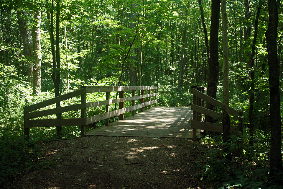
Bridge to walking path

Lake Tetonka Sunset - Evening 2 - No filter

Watts Over Owatonna 2013 (94)

Lake Tetonka Twilight

Watts Over Owatonna 2013 (26)
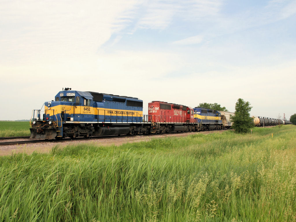
ICE 6452

Watts Over Owatonna 2013 (45)

Watts Over Owatonna 2013 (69)

Watts Over Owatonna 2014 (23)

Watts Over Owatonna 2014 (28)

Watts Over Owatonna 2014 (84)

Watts Over Owatonna 2014 (32)

Watts Over Owatonna 2013 (68)

Watts Over Owatonna 2014 (91)

Watts Over Owatonna 2014 (33)

Watts Over Owatonna 2013 (134)

Watts Over Owatonna 2014 (26)

Watts Over Owatonna 2013 (63)

NREX 5668 Field

Watts Over Owatonna 2013 (135)
Topographic Map of Waseca, MN, USA
Find elevation by address:

Places in Waseca, MN, USA:
Places near Waseca, MN, USA:
S State St, Waseca, MN, USA
409 4th Ave Ne
413 5th St Ne
413 5th St Ne
412 5th St Ne
100 11th Ave Nw
700 7th St Ne
700 7th St Ne
612 8th St Ne
All American Foods, Inc. - Waseca
509 13th Ave Ne
1301 6th St Ne
812 9th St Ne
Woodville Township
Meriden Township
8801 Sw 88th St
Crane Creek Road
Owatonna Country Club
SW 37th Ave, Hope, MN, USA
1135 Lemond Rd
Recent Searches:
- Elevation of Corso Fratelli Cairoli, 35, Macerata MC, Italy
- Elevation of Tallevast Rd, Sarasota, FL, USA
- Elevation of 4th St E, Sonoma, CA, USA
- Elevation of Black Hollow Rd, Pennsdale, PA, USA
- Elevation of Oakland Ave, Williamsport, PA, USA
- Elevation of Pedrógão Grande, Portugal
- Elevation of Klee Dr, Martinsburg, WV, USA
- Elevation of Via Roma, Pieranica CR, Italy
- Elevation of Tavkvetili Mountain, Georgia
- Elevation of Hartfords Bluff Cir, Mt Pleasant, SC, USA