Elevation of S Fork Ln, Syracuse, MO, USA
Location: United States > Missouri > Moniteau County > Willow Fork Township > Tipton >
Longitude: -92.851811
Latitude: 38.6683927
Elevation: 279m / 915feet
Barometric Pressure: 98KPa
Elevation Map:
Satellite Map:
Related Photos:

Facade 8.20.2005

On the Border 8.16.2005

Hannah Cole Roadside Park - Missouri

_MG_9508.jpg

_MG_9511.jpg

_MG_9515.jpg

_MG_9509.jpg

_MG_9519.jpg

_MG_9512.jpg
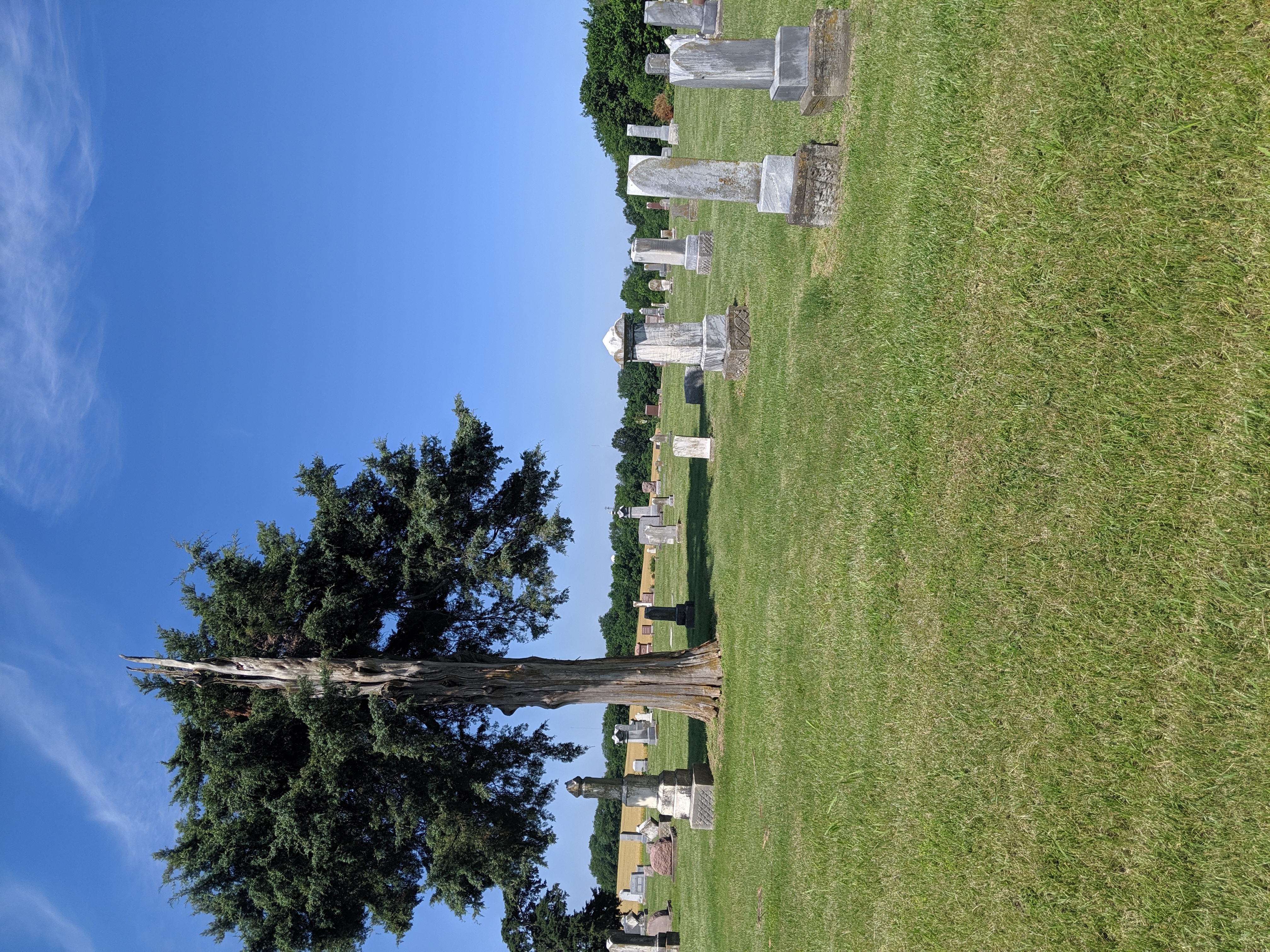
odd-fellows-cemetery-outside-tipton-david-bange-IMG_20190608_105334

tipton-library-david-bange-IMG_20190608_111148

Carla Knipp - Are you going out

Carla Knipp - Contentment

Carla Knipp - Welcome Spring
Topographic Map of S Fork Ln, Syracuse, MO, USA
Find elevation by address:

Places near S Fork Ln, Syracuse, MO, USA:
Syracuse
E Front St, Syracuse, MO, USA
Mill Creek Township
Lebanon Township
State Hwy A, Bunceton, MO, USA
Cooper County
9708 Prairie Lick Rd
Pilot Grove Township
Prairie Lick Road
Versailles
422 Old W Rd
MO-, Stover, MO, USA
Haw Creek Township
Stover
N Oak St, Stover, MO, USA
17790 Clear Springs Dr
17790 Clear Springs Dr
17800 Clear Springs Dr
Bowling Green Township
Morgan County
Recent Searches:
- Elevation of Elwyn Dr, Roanoke Rapids, NC, USA
- Elevation of Congressional Dr, Stevensville, MD, USA
- Elevation of Bellview Rd, McLean, VA, USA
- Elevation of Stage Island Rd, Chatham, MA, USA
- Elevation of Shibuya Scramble Crossing, 21 Udagawacho, Shibuya City, Tokyo -, Japan
- Elevation of Jadagoniai, Kaunas District Municipality, Lithuania
- Elevation of Pagonija rock, Kranto 7-oji g. 8"N, Kaunas, Lithuania
- Elevation of Co Rd 87, Jamestown, CO, USA
- Elevation of Tenjo, Cundinamarca, Colombia
- Elevation of Côte-des-Neiges, Montreal, QC H4A 3J6, Canada