Elevation of Lebanon Township, MO, USA
Location: United States > Missouri > Cooper County >
Longitude: -92.917595
Latitude: 38.721486
Elevation: 251m / 823feet
Barometric Pressure: 98KPa
Elevation Map:
Satellite Map:
Related Photos:
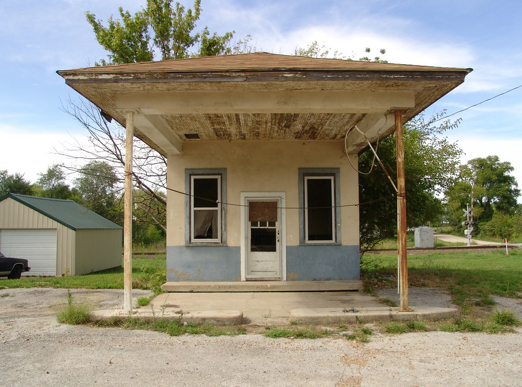
Facade 8.20.2005
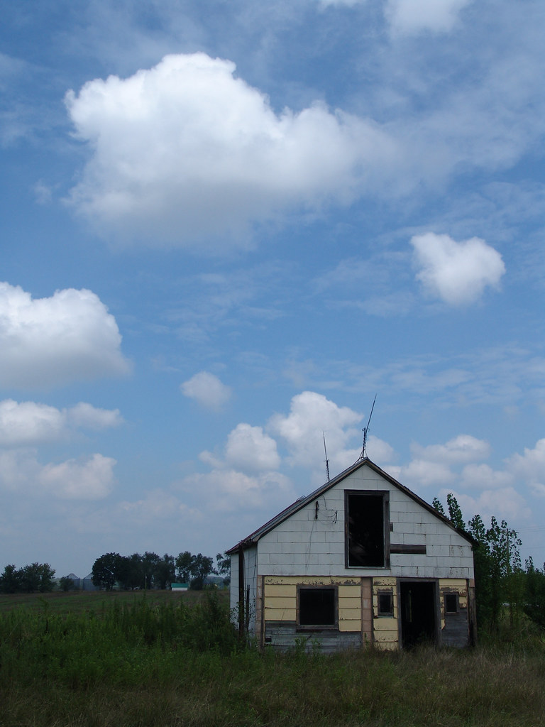
On the Border 8.16.2005
Hannah Cole Roadside Park - Missouri

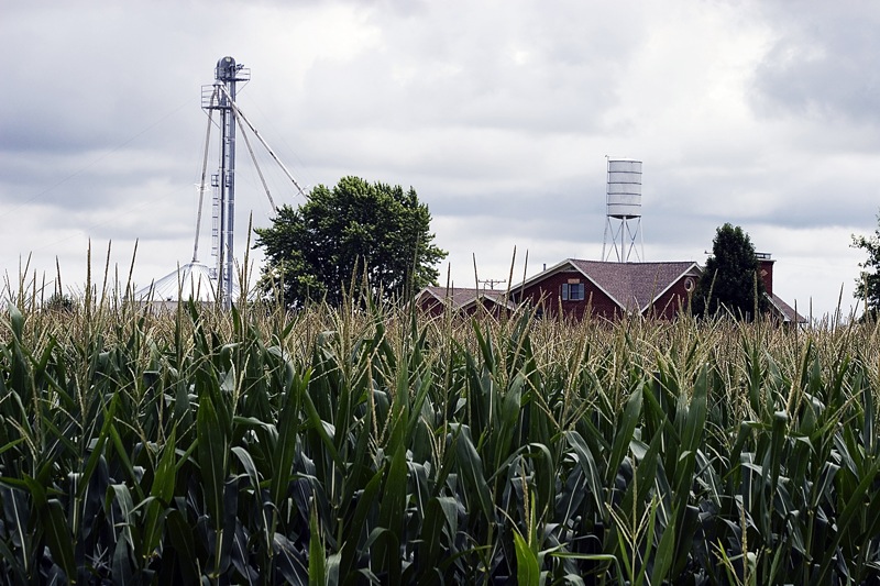
Riding the Katy Trail. Missouri.

Riding the Katy Trail. Missouri.

Riding the Katy Trail. Missouri.

Riding the Katy Trail. Missouri.
_MG_9519.jpg

_MG_9509.jpg

_MG_9515.jpg

_MG_9512.jpg

_MG_9508.jpg

_MG_9511.jpg
Topographic Map of Lebanon Township, MO, USA
Find elevation by address:

Places in Lebanon Township, MO, USA:
Places near Lebanon Township, MO, USA:
State Hwy A, Bunceton, MO, USA
E Front St, Syracuse, MO, USA
Syracuse
957 S Fork Ln
Mill Creek Township
Cooper County
Pilot Grove Township
9708 Prairie Lick Rd
Prairie Lick Road
Bowling Green Township
19074 Hwy O
17800 Clear Springs Dr
17790 Clear Springs Dr
17790 Clear Springs Dr
MO-, Stover, MO, USA
Haw Creek Township
Stover
N Oak St, Stover, MO, USA
Versailles
422 Old W Rd
Recent Searches:
- Elevation of Corso Fratelli Cairoli, 35, Macerata MC, Italy
- Elevation of Tallevast Rd, Sarasota, FL, USA
- Elevation of 4th St E, Sonoma, CA, USA
- Elevation of Black Hollow Rd, Pennsdale, PA, USA
- Elevation of Oakland Ave, Williamsport, PA, USA
- Elevation of Pedrógão Grande, Portugal
- Elevation of Klee Dr, Martinsburg, WV, USA
- Elevation of Via Roma, Pieranica CR, Italy
- Elevation of Tavkvetili Mountain, Georgia
- Elevation of Hartfords Bluff Cir, Mt Pleasant, SC, USA