Elevation of S 1st St, Bayfield, WI, USA
Location: United States > Wisconsin > Bayfield County > Bayfield >
Longitude: -90.814786
Latitude: 46.8082238
Elevation: -10000m / -32808feet
Barometric Pressure: 295KPa
Elevation Map:
Satellite Map:
Related Photos:

Rusty Nash

Retired Politician

Old Wrecker

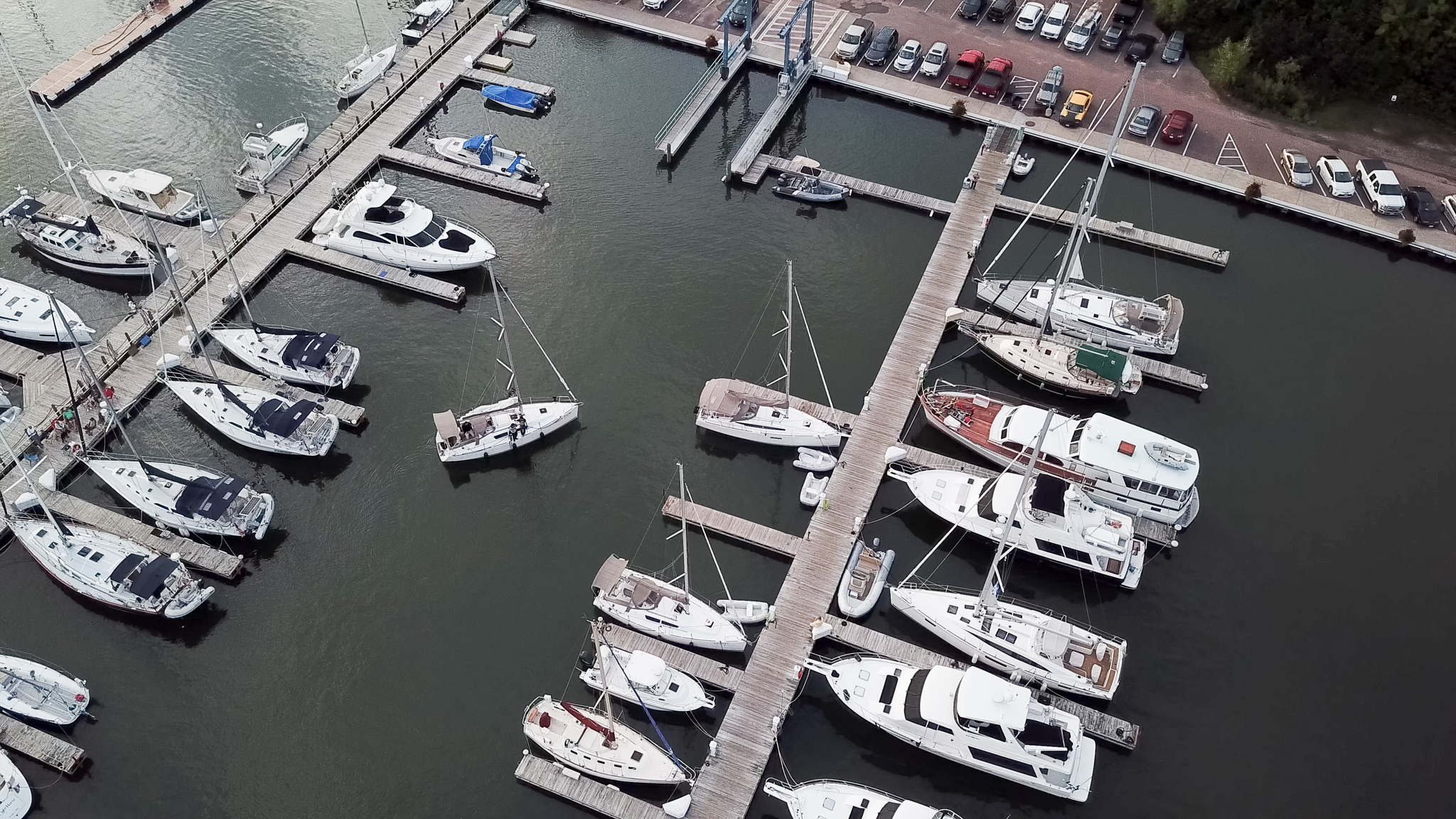
Dock at Pikes Bay Marina

Lake Superior Beach

Dock at Pikes Bay Marina

Dock at Pikes Bay Marina

Docks at Pikes Bay Marina

Front View

Docks at Pikes Bay Marina
Dock at Pikes Bay Marina

Dock at Pikes Bay Marina

Chequamegon Bay view

Plein air from a kite

Rocks in the lake

img_5627-adjust

View of the Lake, Bayfield

2nd Floor View

Wisconsin, Bayfield, Christ Episcopal Church

Washburn 2

View from Houghton Point

The Best Bench

Braving Lake

Madeline Island Ferry 20160922-_DSC2961

Bayfield, Wisconsin

It Rises

Ice Crack, Lake Superior

Bayfield harbor 1

High and Dry

Backwaters on Madeline Island

Madeline Island Ferry Line #3

La Pointe

Echo Dells - Into the Pool

The #IceCaves have been declared accessible, for the first time since 2009! If you go, be sure to post photos. And tag them #bayfield_wi so we all see!

Happy 8th Anniversary!

JPO_20180120_0050.jpg

Ferry ride over to Madeline Island, before dawn and in the early autumn fog. Beautiful.
Topographic Map of S 1st St, Bayfield, WI, USA
Find elevation by address:

Places near S 1st St, Bayfield, WI, USA:
Bayfield
La Pointe
34271 Co Hwy J
State Hwy 13, Bayfield, WI, USA
Capser Rd, La Pointe, WI, USA
Ridge Road
209 Fortier Rd
Bayfield
Washington Ave, Washburn, WI, USA
Washburn
La Pointe
2347 Lake Shore Dr E
27545 S Maple Hill Rd
Ellis Ave N, Ashland, WI, USA
Ashland
705 Main St W
715 Chapple Ave
122 14th Ave W
1223 Chapple Ave
88550 Traders Pass
Recent Searches:
- Elevation of Lampiasi St, Sarasota, FL, USA
- Elevation of Elwyn Dr, Roanoke Rapids, NC, USA
- Elevation of Congressional Dr, Stevensville, MD, USA
- Elevation of Bellview Rd, McLean, VA, USA
- Elevation of Stage Island Rd, Chatham, MA, USA
- Elevation of Shibuya Scramble Crossing, 21 Udagawacho, Shibuya City, Tokyo -, Japan
- Elevation of Jadagoniai, Kaunas District Municipality, Lithuania
- Elevation of Pagonija rock, Kranto 7-oji g. 8"N, Kaunas, Lithuania
- Elevation of Co Rd 87, Jamestown, CO, USA
- Elevation of Tenjo, Cundinamarca, Colombia