Elevation of Ruskin Dr, Algonac, MI, USA
Location: United States > Michigan > St. Clair County > Algonac >
Longitude: -82.538825
Latitude: 42.6117325
Elevation: 177m / 581feet
Barometric Pressure: 99KPa
Elevation Map:
Satellite Map:
Related Photos:
C-K Fire - 3-14, 10 Dauw Ave. Wallaceburg 3rd Alarm
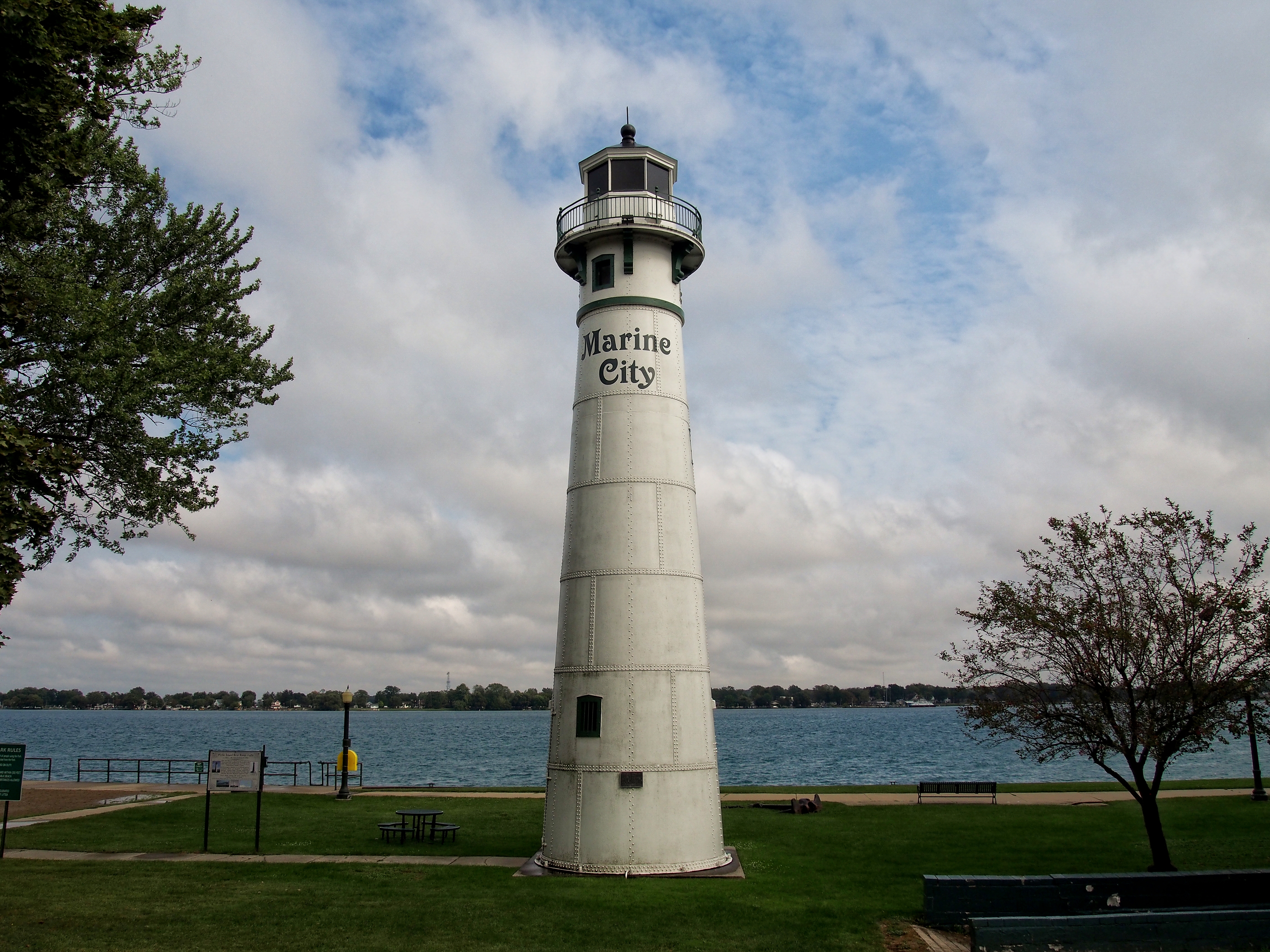
Frontenac - Marine City
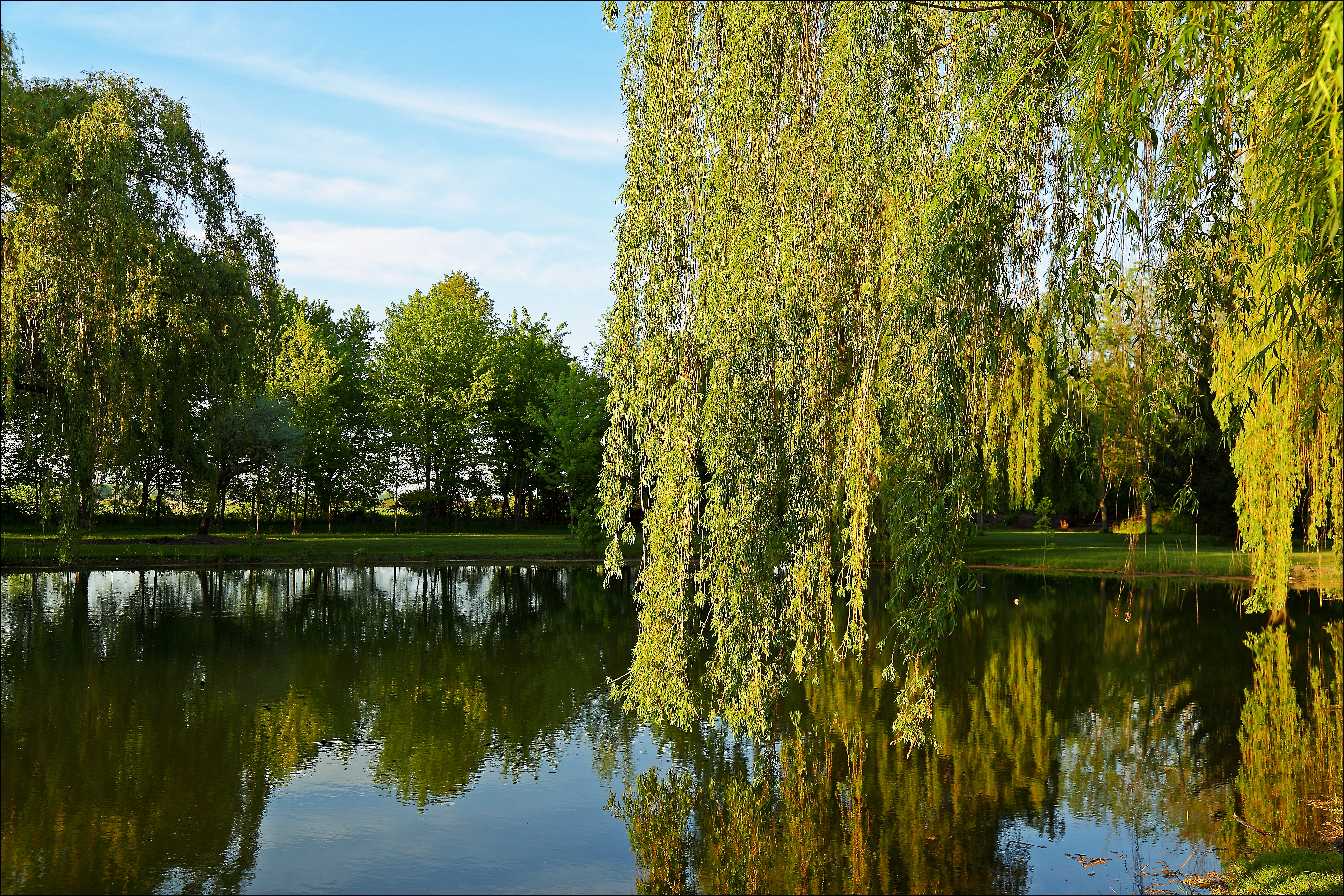
My River is Greenest of All
International Independence Day 7/4/2003

What an amazing weekend with amazing people.

Brander Park
A Trail in the Fall

The woods of Pearl Beach Michigan
Old Peche Island Rear Range Lighthouse (1908)
Composition 1
Where Flatness Becomes Extraordinary
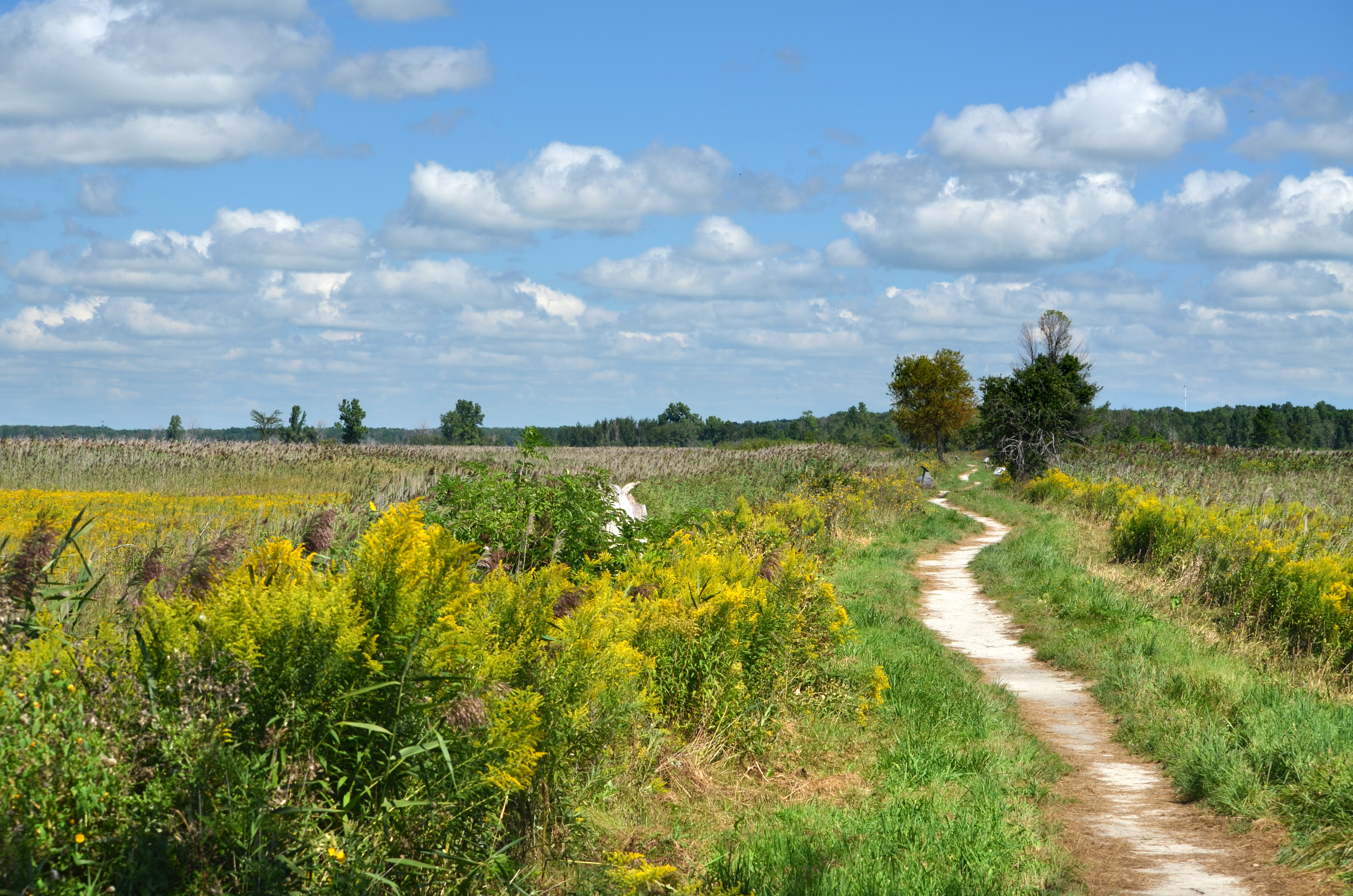
Ribbon of Yellow
Anchor Bay 1
St. Johns Marsh DSC_0254
Sunset at the Moot
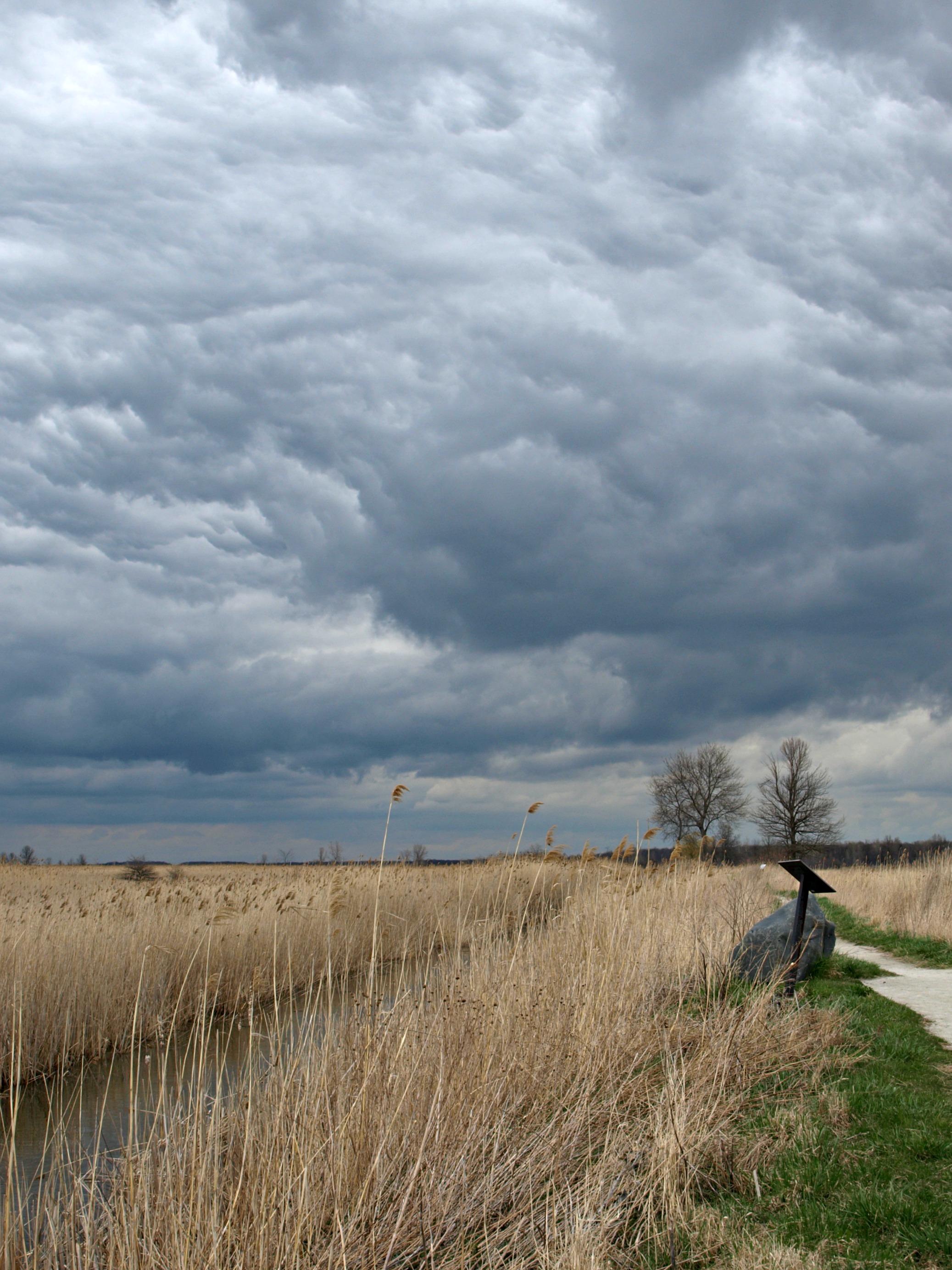
Inclement Weather
Brander Park
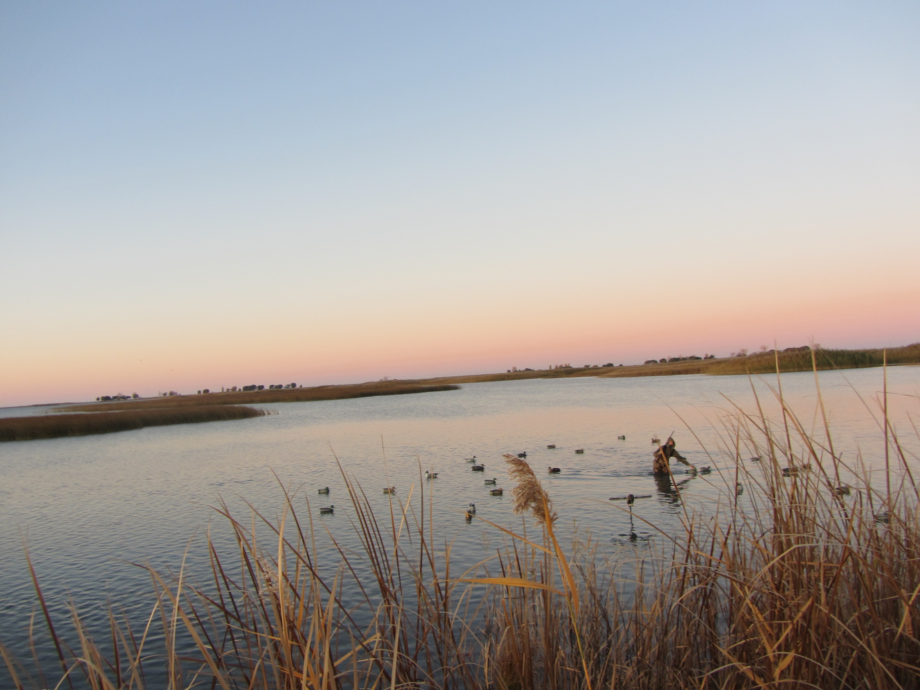
Fine tuning the spread

Ice Breaking Operations-2733

Tall ships in route to Put In Bay
Old Peche Island Rear Range Lighthouse (1908)
St. Johns Marsh
Brander Park
Macabre Wood

I Reject the Dwindling Season and Substitute My Own
Topographic Map of Ruskin Dr, Algonac, MI, USA
Find elevation by address:

Places near Ruskin Dr, Algonac, MI, USA:
510 Ruskin Ave
618 Ruskin Ave
Liberty Street
Algonac
241 Monroe Blvd
2272 S Channel Dr
2396 S Channel Dr
Harsens Island
Petoskey St, Harsens Island, MI, USA
Clay Township
355 Pointe Line W
30099 St Clair Pkwy
Pointe Tremble Rd, Clay Township, MI, USA
Pearl Beach
Morrow Road
6720 S Channel Dr
406 Robertson St
Sombra
1517 Elgin St
7 Piccadilly Ct
Recent Searches:
- Elevation of Lampiasi St, Sarasota, FL, USA
- Elevation of Elwyn Dr, Roanoke Rapids, NC, USA
- Elevation of Congressional Dr, Stevensville, MD, USA
- Elevation of Bellview Rd, McLean, VA, USA
- Elevation of Stage Island Rd, Chatham, MA, USA
- Elevation of Shibuya Scramble Crossing, 21 Udagawacho, Shibuya City, Tokyo -, Japan
- Elevation of Jadagoniai, Kaunas District Municipality, Lithuania
- Elevation of Pagonija rock, Kranto 7-oji g. 8"N, Kaunas, Lithuania
- Elevation of Co Rd 87, Jamestown, CO, USA
- Elevation of Tenjo, Cundinamarca, Colombia