Elevation of S Channel Dr, Harsens Island, MI, USA
Location: United States > Michigan > St. Clair County > Harsens Island >
Longitude: -82.555297
Latitude: 42.587646
Elevation: 177m / 581feet
Barometric Pressure: 99KPa
Elevation Map:
Satellite Map:
Related Photos:

C-K Fire - 3-14, 10 Dauw Ave. Wallaceburg 3rd Alarm

International Independence Day 7/4/2003

C-K Fire - 3-14, 10 Dauw Ave. Wallaceburg 3rd Alarm
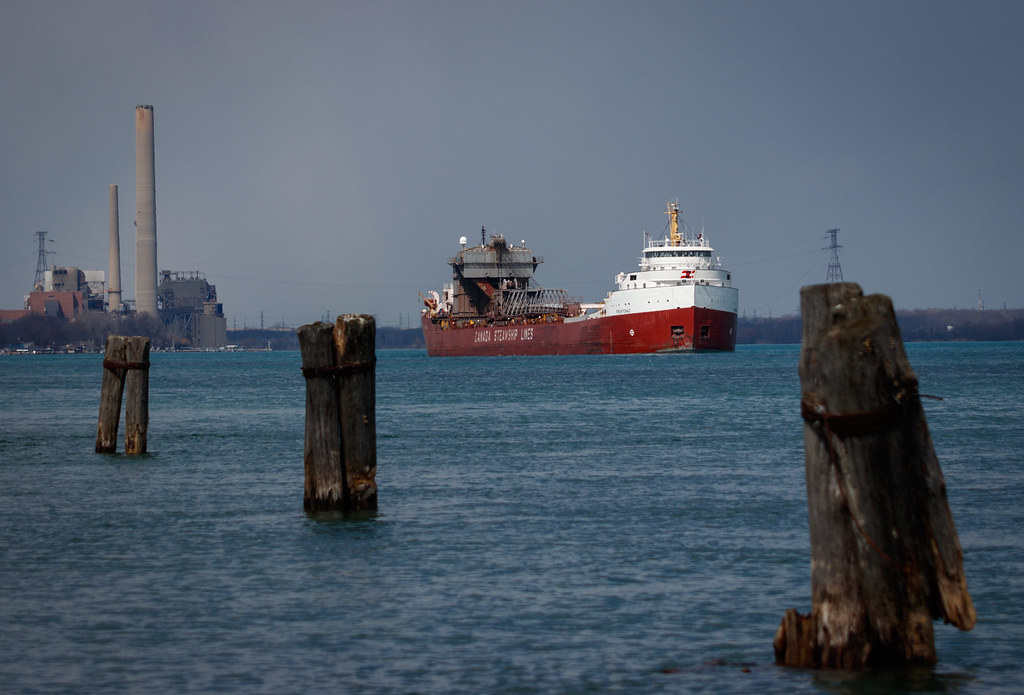
Frontenac - Marine City

My River is Greenest of All

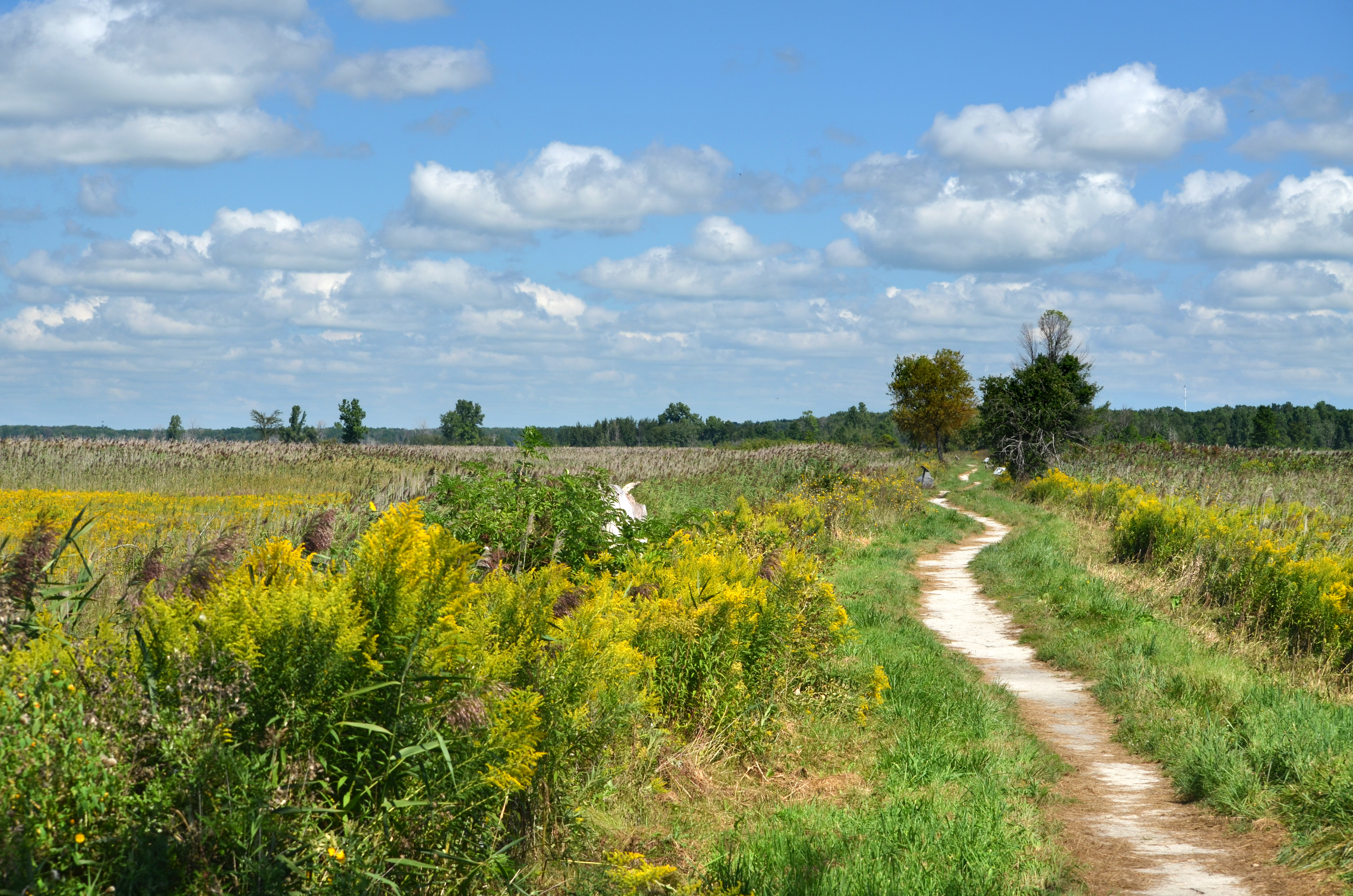
A Trail in the Fall

Bench Monday - HBM

The woods of Pearl Beach Michigan

ALGORAIL 042984

Old Peche Island Rear Range Lighthouse (1908)

Composition 1

St. Johns Marsh DSC_0254

Anchor Bay 1

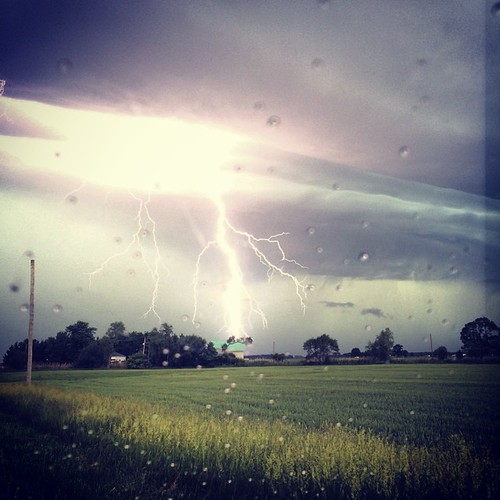
Sunset at the Moot

looking up-stream

Fine tuning the spread
St. Johns Marsh

Old Peche Island Rear Range Lighthouse (1908)

Macabre Wood

2005-06-04 St. Clair River South Channel Houses

Kayak, St. Johns Marsh
Any Janie girls wanna play in this?! Dibs on the wooden sticks!! #janietwohander #wallaceburgstormwednesdays

Brander Park

Out my window

Brander Park

Ice Breaking Operations-2733
Topographic Map of S Channel Dr, Harsens Island, MI, USA
Find elevation by address:

Places near S Channel Dr, Harsens Island, MI, USA:
2272 S Channel Dr
Harsens Island
241 Monroe Blvd
Petoskey St, Harsens Island, MI, USA
618 Ruskin Ave
510 Ruskin Ave
510 Ruskin Dr
Liberty Street
Algonac
Clay Township
Pointe Tremble Rd, Clay Township, MI, USA
Pearl Beach
6720 S Channel Dr
Morrow Road
355 Pointe Line W
30099 St Clair Pkwy
406 Robertson St
Sombra
1517 Elgin St
7 Piccadilly Ct
Recent Searches:
- Elevation of Fern Rd, Whitmore, CA, USA
- Elevation of 62 Abbey St, Marshfield, MA, USA
- Elevation of Fernwood, Bradenton, FL, USA
- Elevation of Felindre, Swansea SA5 7LU, UK
- Elevation of Leyte Industrial Development Estate, Isabel, Leyte, Philippines
- Elevation of W Granada St, Tampa, FL, USA
- Elevation of Pykes Down, Ivybridge PL21 0BY, UK
- Elevation of Jalan Senandin, Lutong, Miri, Sarawak, Malaysia
- Elevation of Bilohirs'k
- Elevation of 30 Oak Lawn Dr, Barkhamsted, CT, USA