Elevation of Rusinga Islands, Kenya
Location: Kenya > Homa Bay County > Kaswanga >
Longitude: 34.1643201
Latitude: -0.4115968
Elevation: 1230m / 4035feet
Barometric Pressure: 87KPa
Elevation Map:
Satellite Map:
Related Photos:

Lambwe Deaf School kids enjoying the camera

Lambwe Deaf School: Excursion to Rusinga Island

Sunset at Lake Victoria

The Fishermen 3
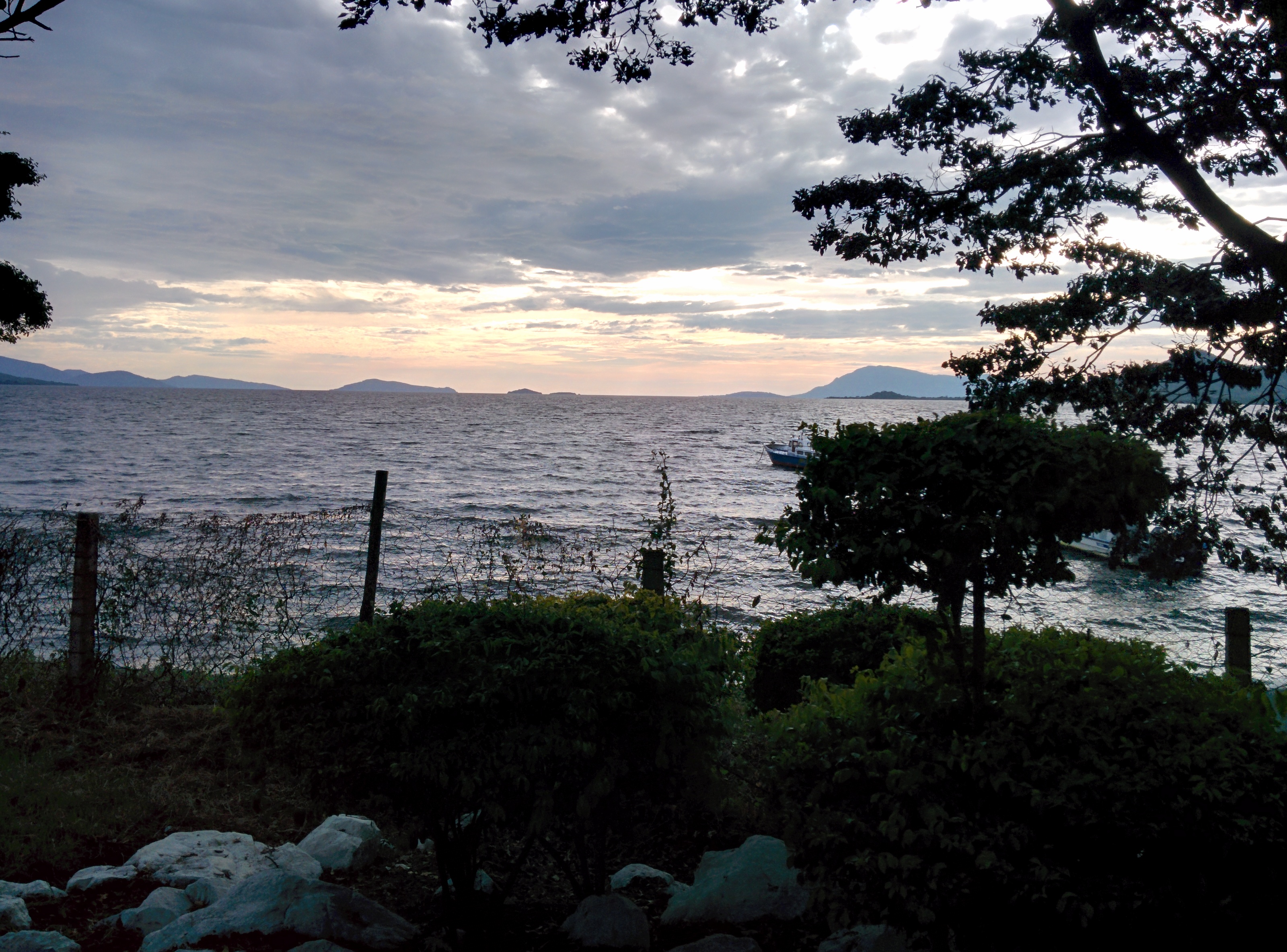
Lake Victoria, sunset

nd-201307-Mbita-01

The Village 3

Cars on Ferry
Sunset at Rusinga Island

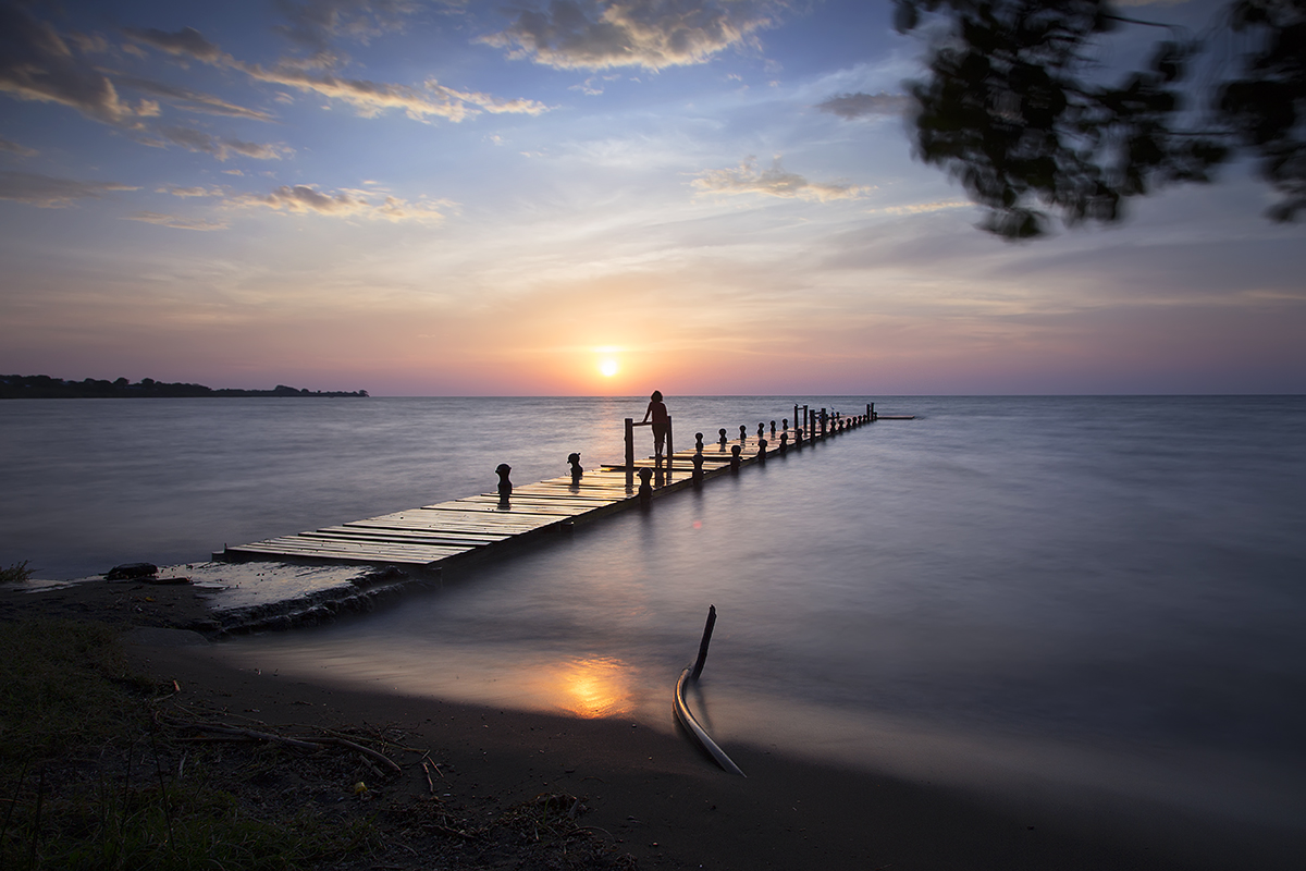
Love Is In The Pier

The international game
Topographic Map of Rusinga Islands, Kenya
Find elevation by address:

Places near Rusinga Islands, Kenya:
Kaswanga
Luanda K'otieno Pier
Naya
Aram Market
Homa Bay County
Homa Bay
Siaya
Kakoko
Karachuonyo
Akala
Kolenyo Health Centre
West Kanyadwera
Kombewa District Hospital
Thimlich Ohinga Historic Site
Pau Akuche
Katieno I
Rongo
Kanyawegi
St. Joseph's School, Rapogi
Migori County
Recent Searches:
- Elevation of SE Heron Loop, Lincoln City, OR, USA
- Elevation of Slanický ostrov, 01 Námestovo, Slovakia
- Elevation of Spaceport America, Co Rd A, Truth or Consequences, NM, USA
- Elevation of Warwick, RI, USA
- Elevation of Fern Rd, Whitmore, CA, USA
- Elevation of 62 Abbey St, Marshfield, MA, USA
- Elevation of Fernwood, Bradenton, FL, USA
- Elevation of Felindre, Swansea SA5 7LU, UK
- Elevation of Leyte Industrial Development Estate, Isabel, Leyte, Philippines
- Elevation of W Granada St, Tampa, FL, USA