Elevation of Karachuonyo, Homa Bay County, Kanyamfwa Mixed Secondary School, Kenya
Location: Kenya > Homa Bay County > Kakoko >
Longitude: 34.5356171
Latitude: -0.3872328
Elevation: 1304m / 4278feet
Barometric Pressure: 87KPa
Elevation Map:
Satellite Map:
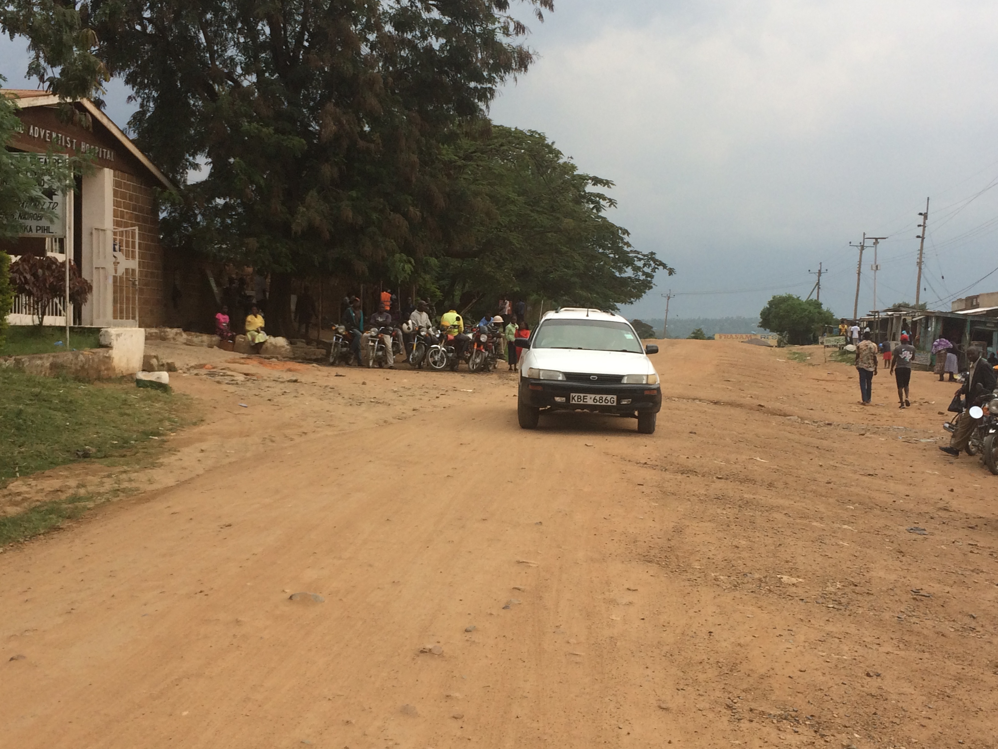
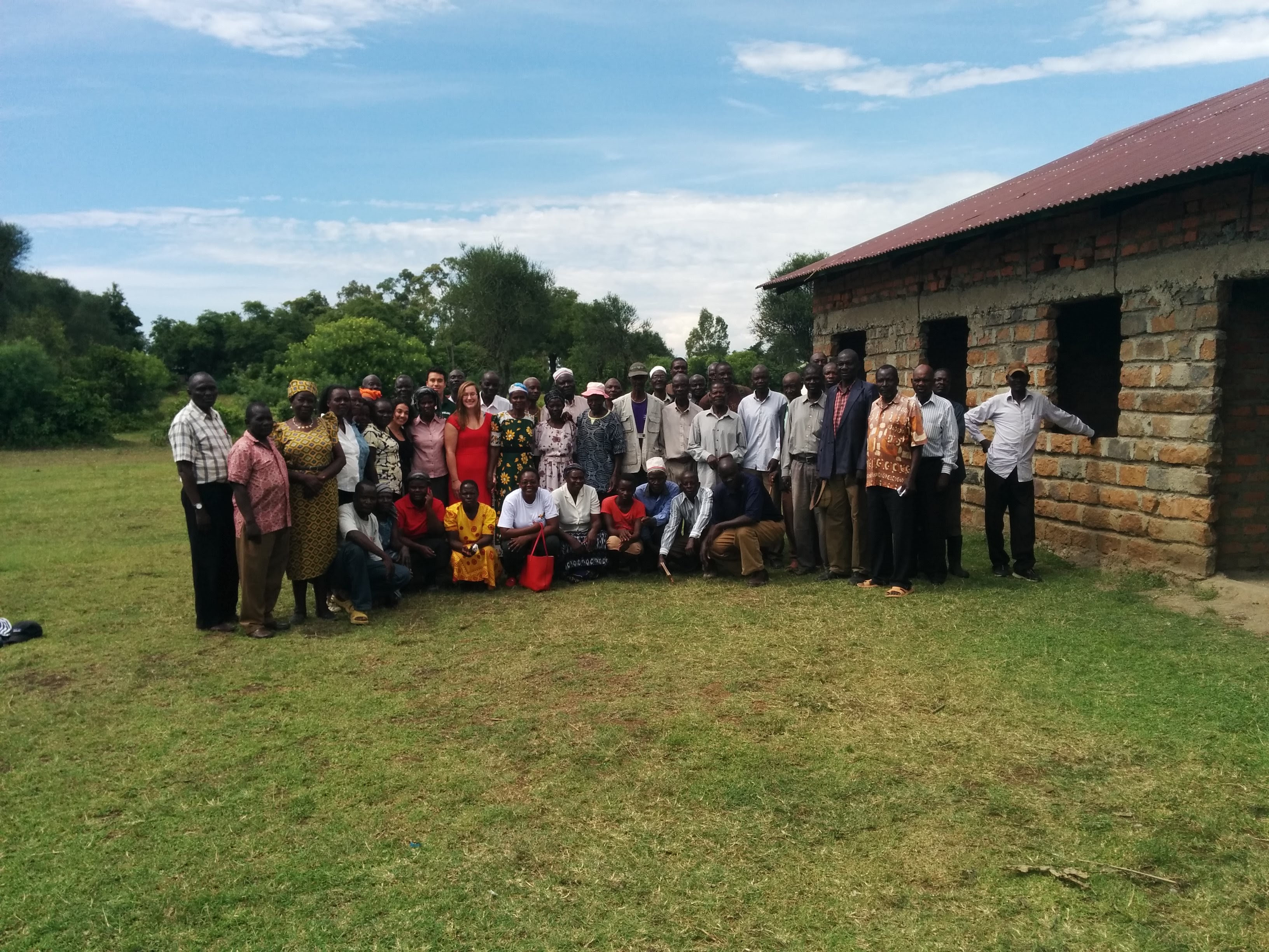
Related Photos:
IMG_1528
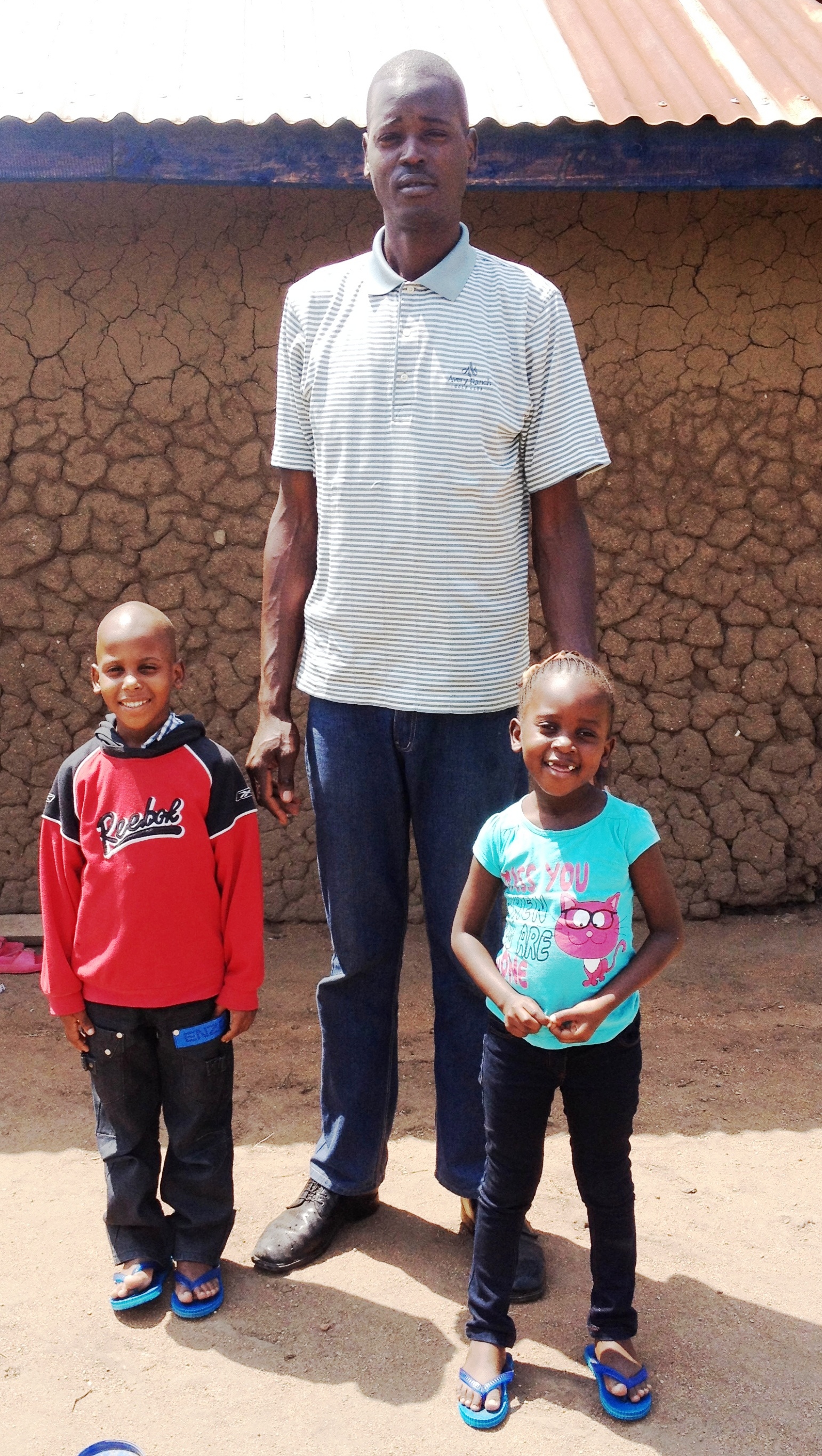
Raymond & Mary with their Uncle

CO 1069-137-83

Akinyi, Mary, Ray and George (the four siblings)
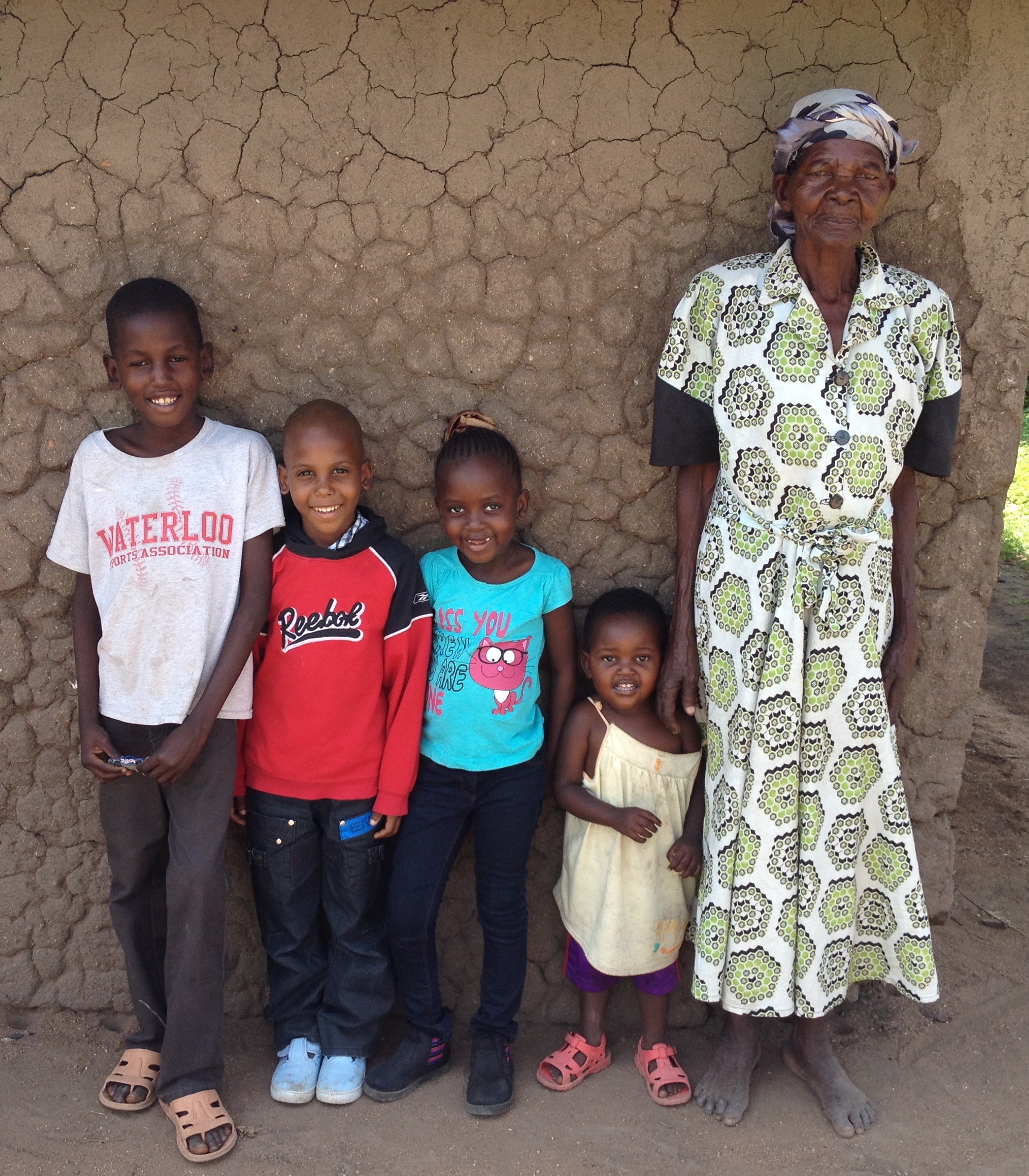
The four siblings with their grand aunt
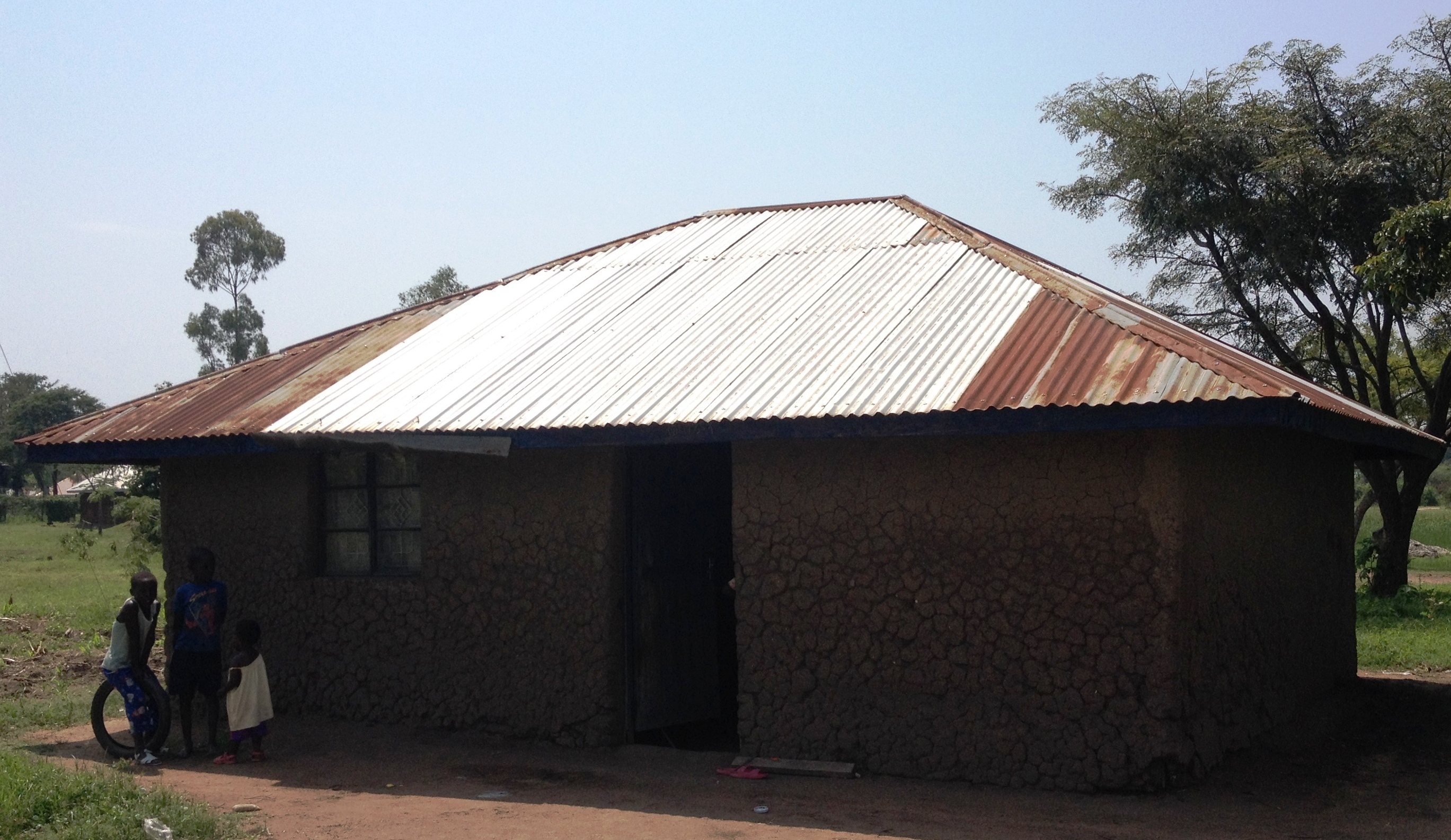
Mary & Raymond's New Home
Sydney Gray - Mama Maji
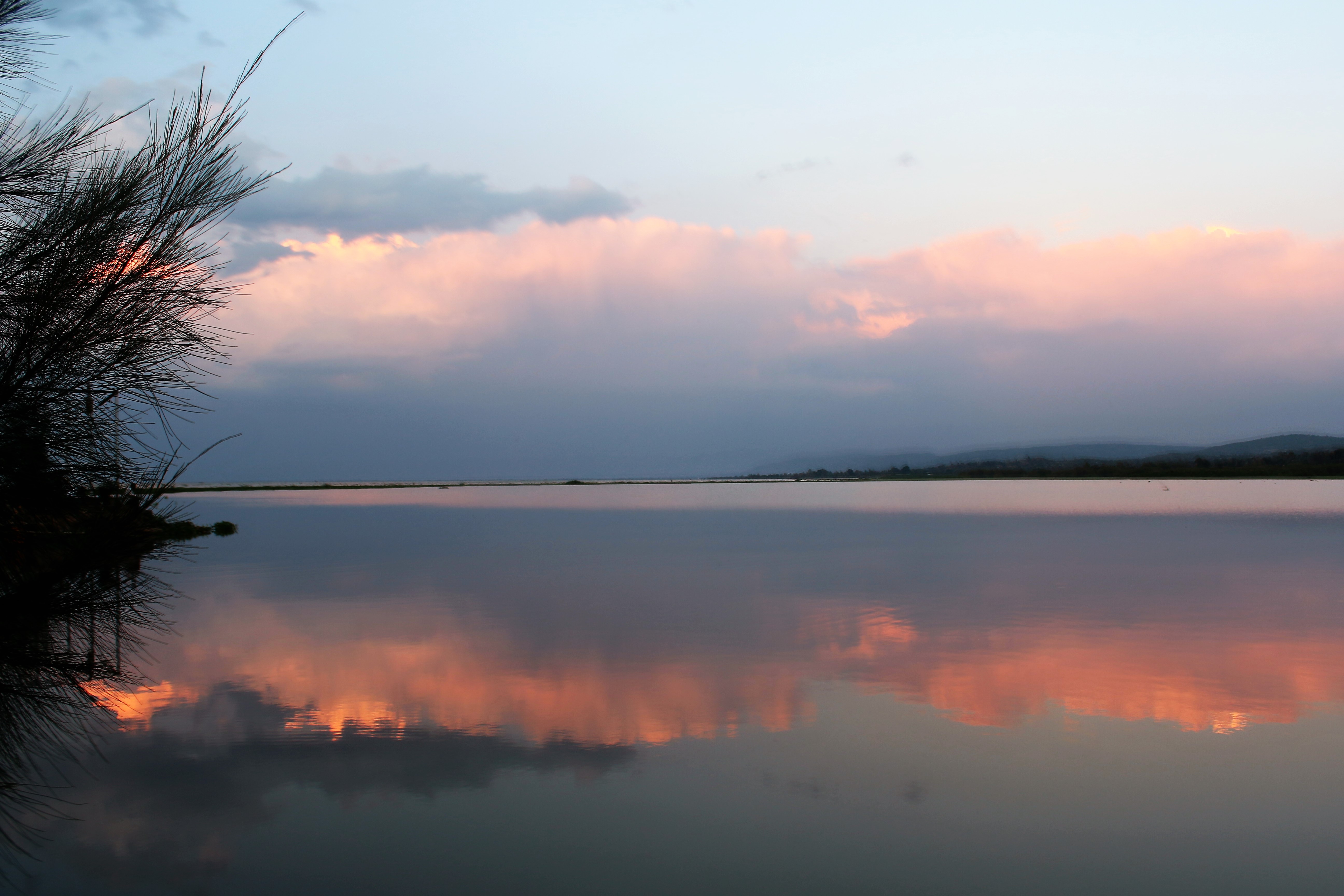
Serene Kendu Bay, Lake Victoria

Serene Kendu Bay, Lake Victoria

CO 1069-137-84
Topographic Map of Karachuonyo, Homa Bay County, Kanyamfwa Mixed Secondary School, Kenya
Find elevation by address:

Places near Karachuonyo, Homa Bay County, Kanyamfwa Mixed Secondary School, Kenya:
Kakoko
Homa Bay
Naya
Luanda K'otieno Pier
Aram Market
Kombewa District Hospital
Mikai
Pau Akuche
Kolenyo Health Centre
Kanyawegi
Homa Bay County
West Kanyadwera
Akala
United Mall
Kisii County
Rusinga Islands
Rongo
Kisumu
Kaswanga
Kisii
Recent Searches:
- Elevation of Rojo Ct, Atascadero, CA, USA
- Elevation of Flagstaff Drive, Flagstaff Dr, North Carolina, USA
- Elevation of Avery Ln, Lakeland, FL, USA
- Elevation of Woolwine, VA, USA
- Elevation of Lumagwas Diversified Farmers Multi-Purpose Cooperative, Lumagwas, Adtuyon, RV32+MH7, Pangantucan, Bukidnon, Philippines
- Elevation of Homestead Ridge, New Braunfels, TX, USA
- Elevation of Orchard Road, Orchard Rd, Marlborough, NY, USA
- Elevation of 12 Hutchinson Woods Dr, Fletcher, NC, USA
- Elevation of Holloway Ave, San Francisco, CA, USA
- Elevation of Norfolk, NY, USA