Elevation of Rush Creek Mule Ranch, Rush Creek Rd, Cambridge, ID, USA
Location: United States > Idaho > Washington County >
Longitude: -116.68712
Latitude: 44.6509086
Elevation: 981m / 3218feet
Barometric Pressure: 90KPa
Elevation Map:
Satellite Map:
Related Photos:
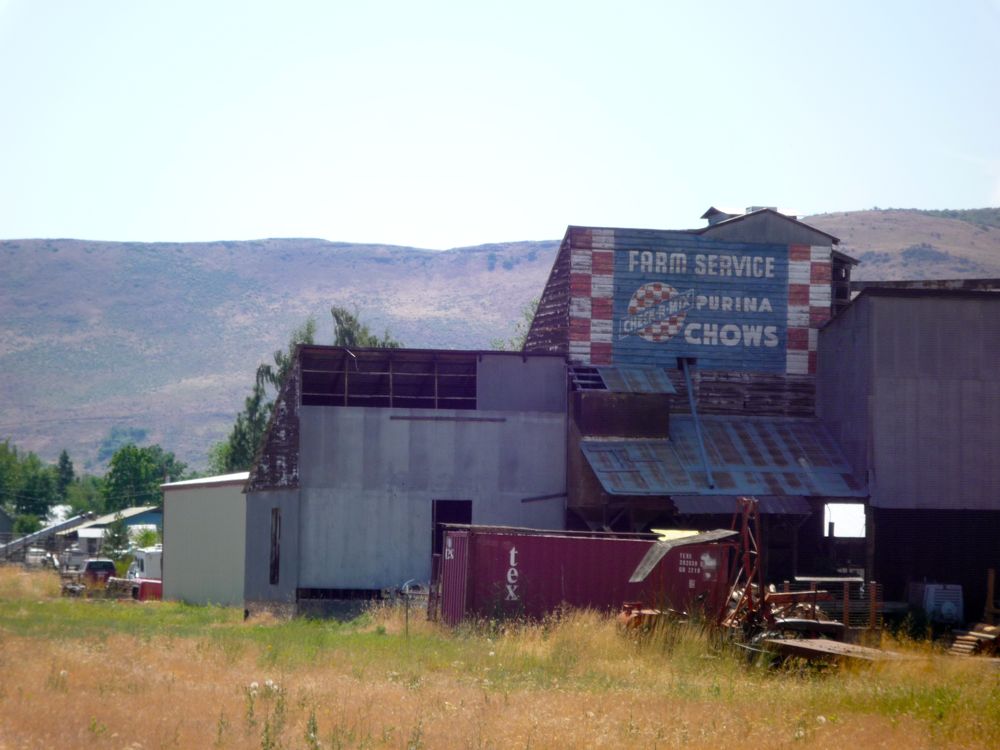
Feed Store

Weekend in Idaho

Snow Drifts

The death of winter

I Miss You, Trina-7

I Miss You, Trina

Spring in Idaho
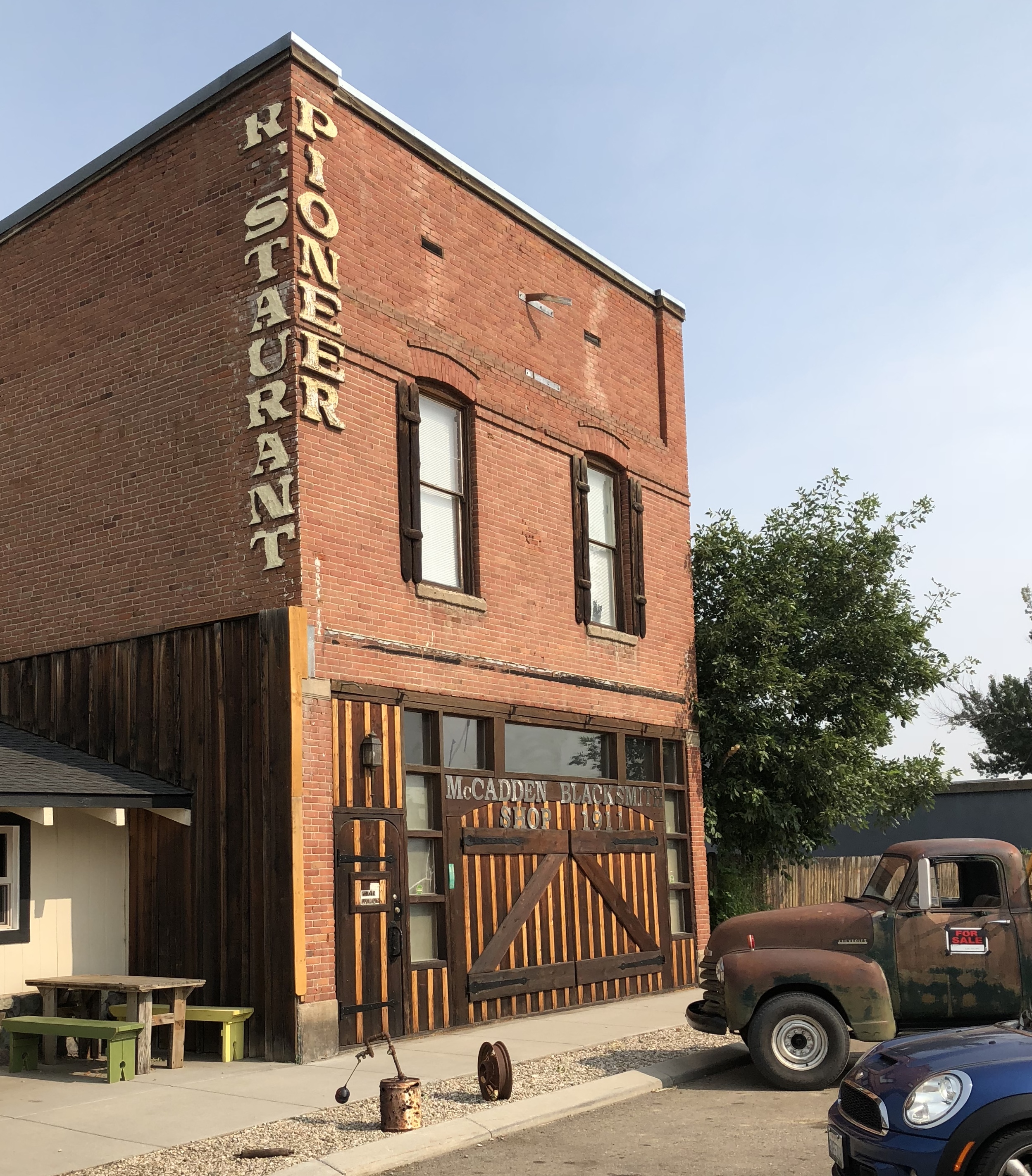
PIONEER RESTAURANT CAMBRIDGE IDAHO

OFFICE BAR CAMBRIDGE IDAHO
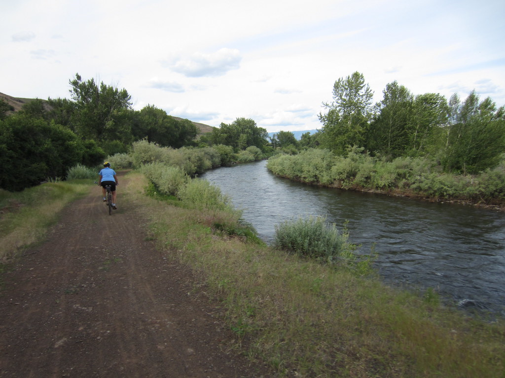
alternating sun & clouds

sunny stretch

WRT again

ever tight
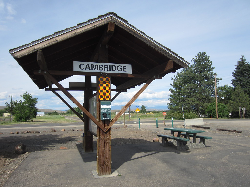
Cambridge Station

the spud, improved

Weekend in Idaho

Weekend in Idaho

Weekend in Idaho

Weekend in Idaho

Weekend in Idaho

Weekend in Idaho

Weekend in Idaho

Weekend in Idaho

Weekend in Idaho

Weekend in Idaho

Weekend in Idaho

Weekend in Idaho
Topographic Map of Rush Creek Mule Ranch, Rush Creek Rd, Cambridge, ID, USA
Find elevation by address:

Places near Rush Creek Mule Ranch, Rush Creek Rd, Cambridge, ID, USA:
3597 Cow Creek Rd
Cambridge
1420 Goodrich Creek Rd
2910 Cove Rd
1450 Goodrich Creek Rd
Goodrich Road
2192 Apple Ln
Mesa
1887 Us-95
Middle Fork Road
Illinois Ave, Council, ID, USA
Council
1895 S Exeter Ln
South Exeter Street
1830 S Exeter St
2333 Orchard Rd
2347 Spring Creek Ln
2443 Lappin Ln
Council, ID, USA
Adams County
Recent Searches:
- Elevation of Lytham Ln, Katy, TX, USA
- Elevation of Tater Hill, Oklahoma, USA
- Elevation of NY-, Friendship, NY, USA
- Elevation of 64 Danakas Dr, Winnipeg, MB R2C 5N7, Canada
- Elevation of 4 Vale Rd, Sheffield S3 9QX, UK
- Elevation of Keene Point Drive, Keene Point Dr, Grant, AL, USA
- Elevation of State St, Zanesville, OH, USA
- Elevation of Austin Stone Dr, Haslet, TX, USA
- Elevation of Bydgoszcz, Poland
- Elevation of Bydgoszcz, Poland