Elevation of Council, ID, USA
Longitude: -116.51068
Latitude: 44.943524
Elevation: 1357m / 4452feet
Barometric Pressure: 86KPa
Elevation Map:
Satellite Map:
Related Photos:

Morning Fog

Ox Ranch Idaho Oct '13 4
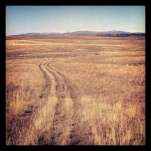
Idaho Ranch

Evergreen Campsite

I'd call this "inviting"
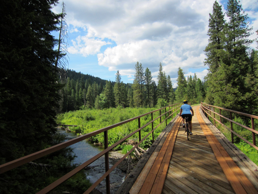
Curved Trestle

Something’s Burning

OX Ranch Lick Creek

Idaho visit 2014-07-27 77

Geiger Field

OX Ranch

Lomatium ambiguum

Lomatium ambiguum

Lomatium ambiguum

Tepee Springs Fire

Tepee Springs Fire

Grappling Hook

Old Logging Machine

The Last Supper

Spider Web

Old Logging Machine

Tree Logo

Spider Web

Frosty Web
Topographic Map of Council, ID, USA
Find elevation by address:

Places near Council, ID, USA:
Adams County
Tamarack
Tamarack View Drive
2347 Spring Creek Ln
2443 Lappin Ln
2333 Orchard Rd
South Exeter Street
Council
Illinois Ave, Council, ID, USA
New Meadows
1887 Us-95
1895 S Exeter Ln
Walker Lane
1830 S Exeter St
1420 Goodrich Creek Rd
1450 Goodrich Creek Rd
Middle Fork Road
3597 Cow Creek Rd
Goodrich Road
2192 Apple Ln
Recent Searches:
- Elevation of Congressional Dr, Stevensville, MD, USA
- Elevation of Bellview Rd, McLean, VA, USA
- Elevation of Stage Island Rd, Chatham, MA, USA
- Elevation of Shibuya Scramble Crossing, 21 Udagawacho, Shibuya City, Tokyo -, Japan
- Elevation of Jadagoniai, Kaunas District Municipality, Lithuania
- Elevation of Pagonija rock, Kranto 7-oji g. 8"N, Kaunas, Lithuania
- Elevation of Co Rd 87, Jamestown, CO, USA
- Elevation of Tenjo, Cundinamarca, Colombia
- Elevation of Côte-des-Neiges, Montreal, QC H4A 3J6, Canada
- Elevation of Bobcat Dr, Helena, MT, USA