Elevation of Rusape, Zimbabwe
Location: Zimbabwe > Manicaland Province >
Longitude: 32.1348629
Latitude: -18.535250
Elevation: 1435m / 4708feet
Barometric Pressure: 85KPa
Elevation Map:
Satellite Map:
Related Photos:
African Rain

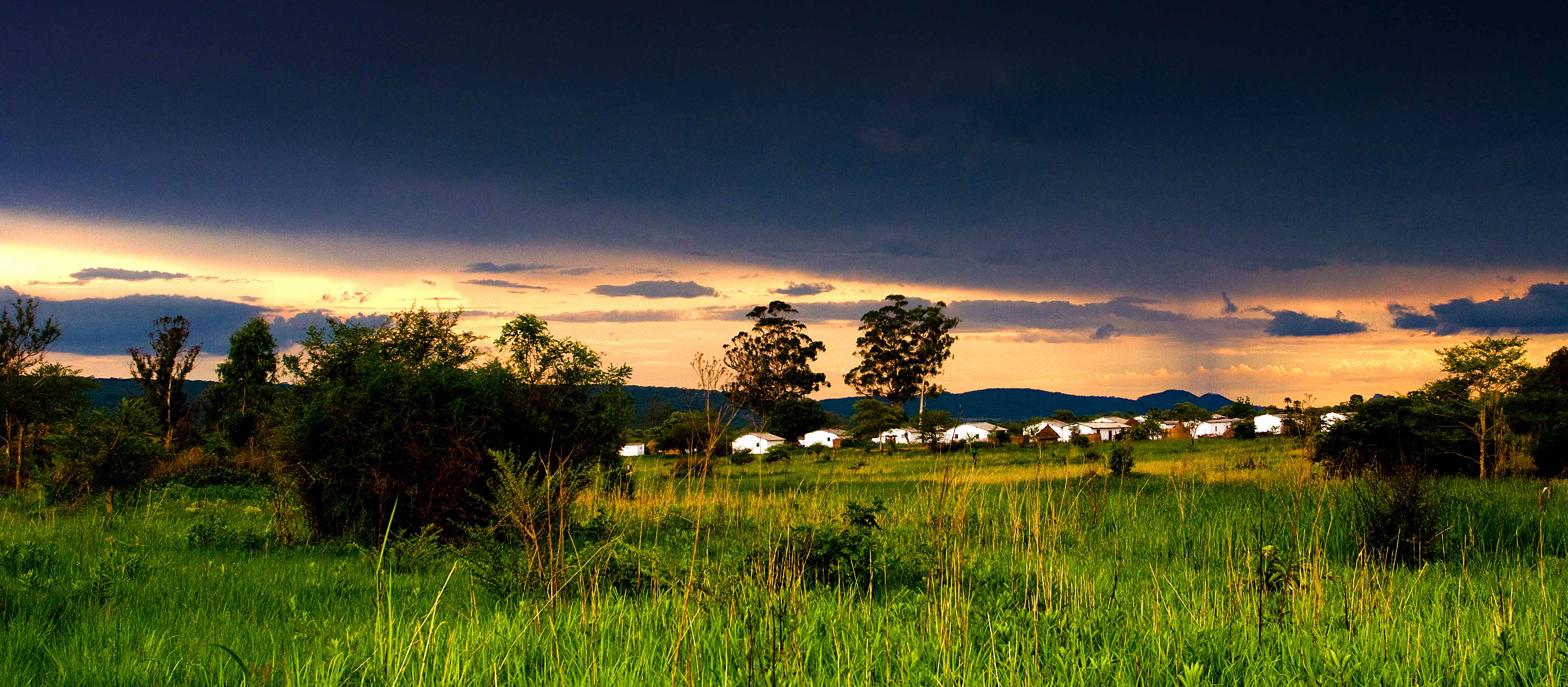
Sunset on the Vets

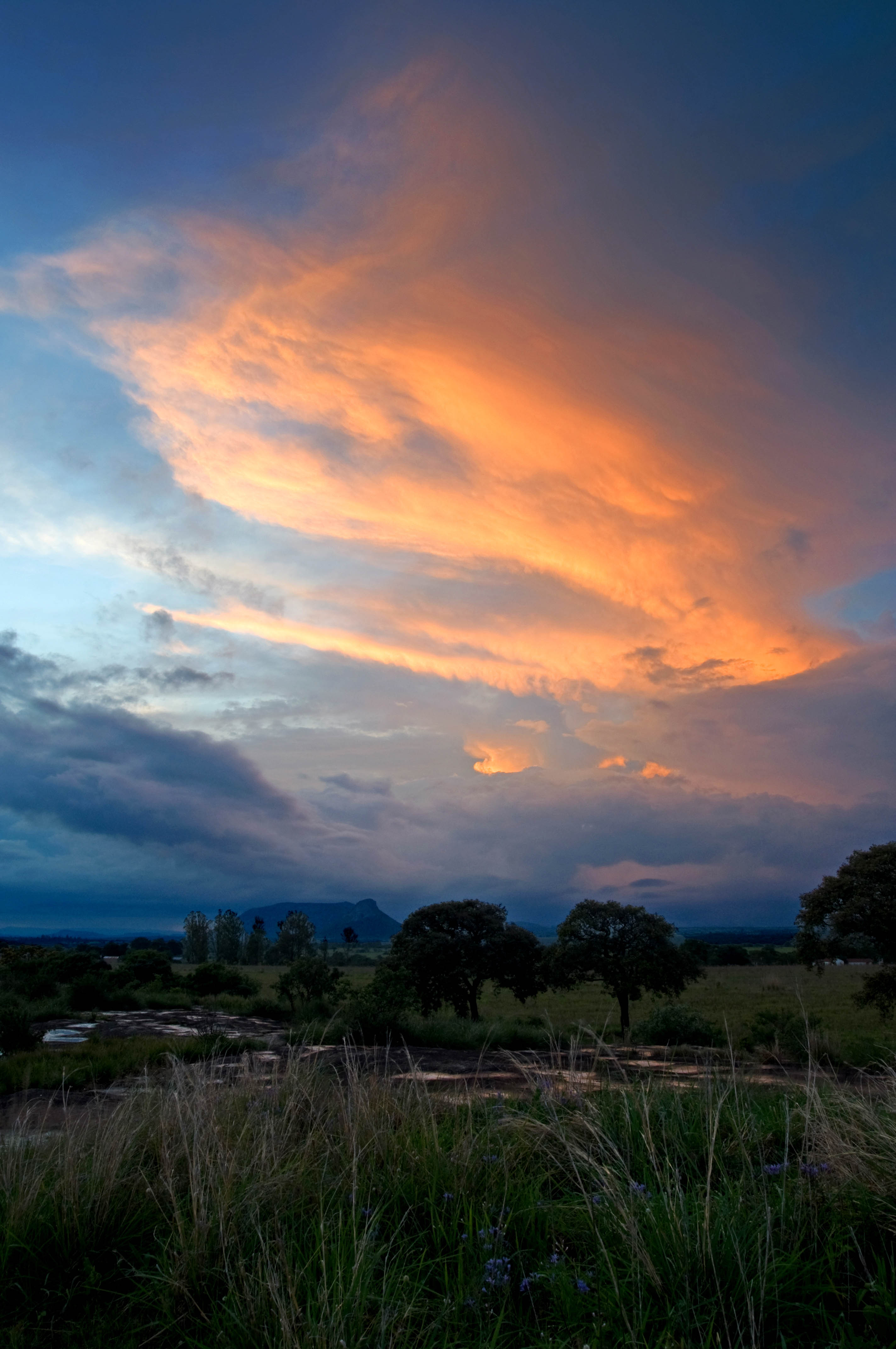
Sunset on the Vets 2

Lleó British de pel llarg en plena cacera..
Sunset over Tikiwiri 2

Sunset on Excelsior
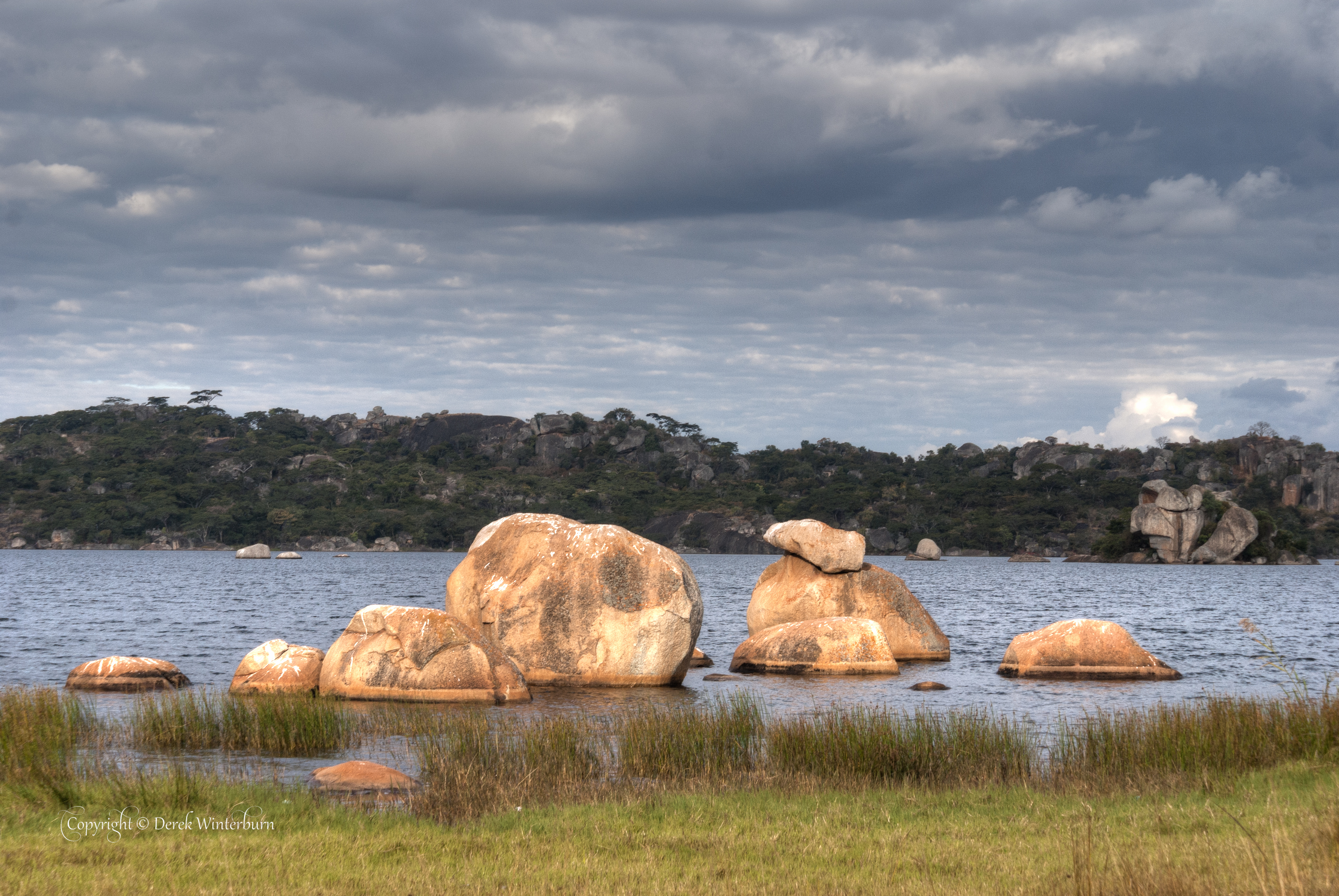
Lake Rusape 4
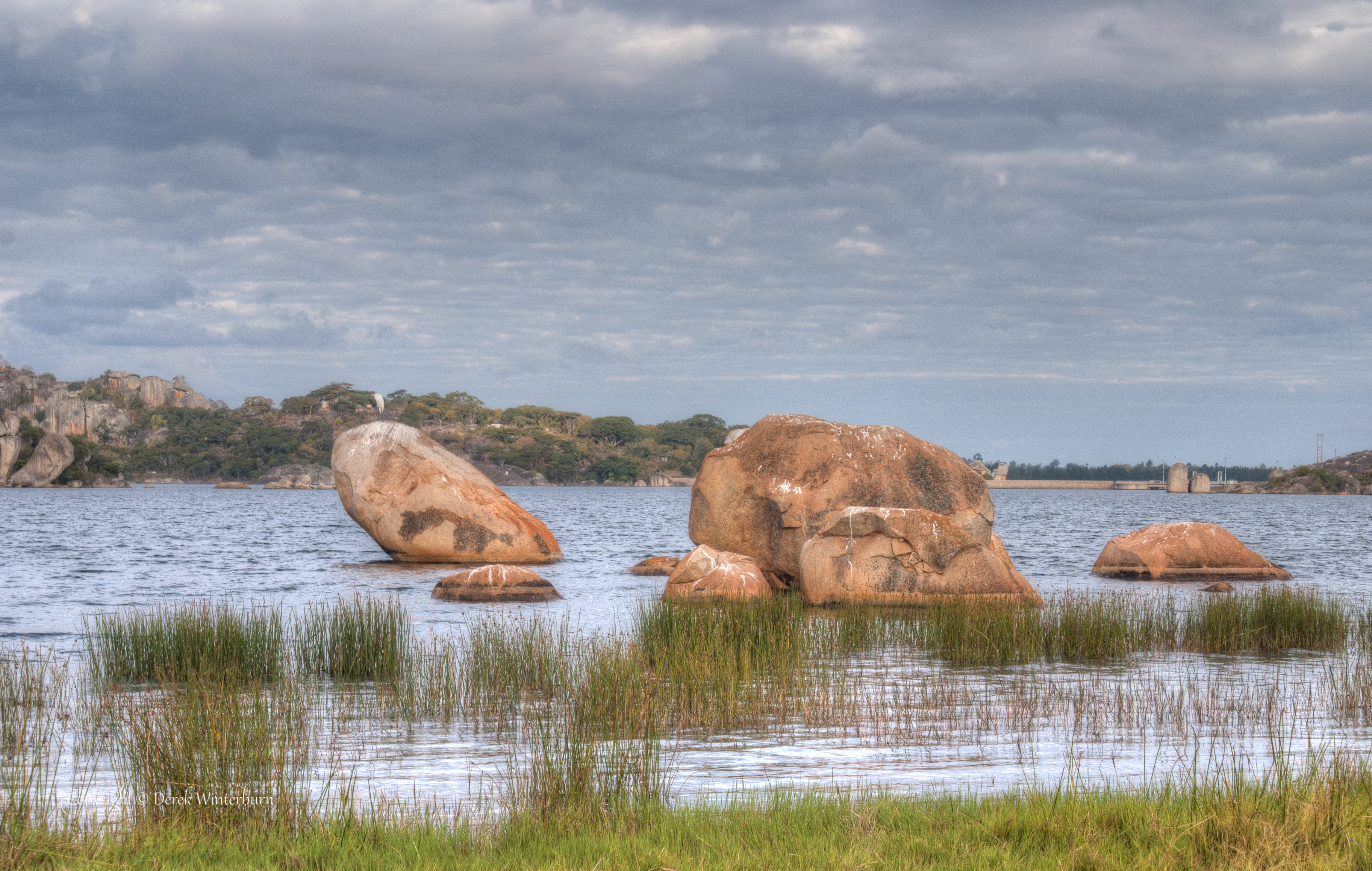
Lake Rusape 2
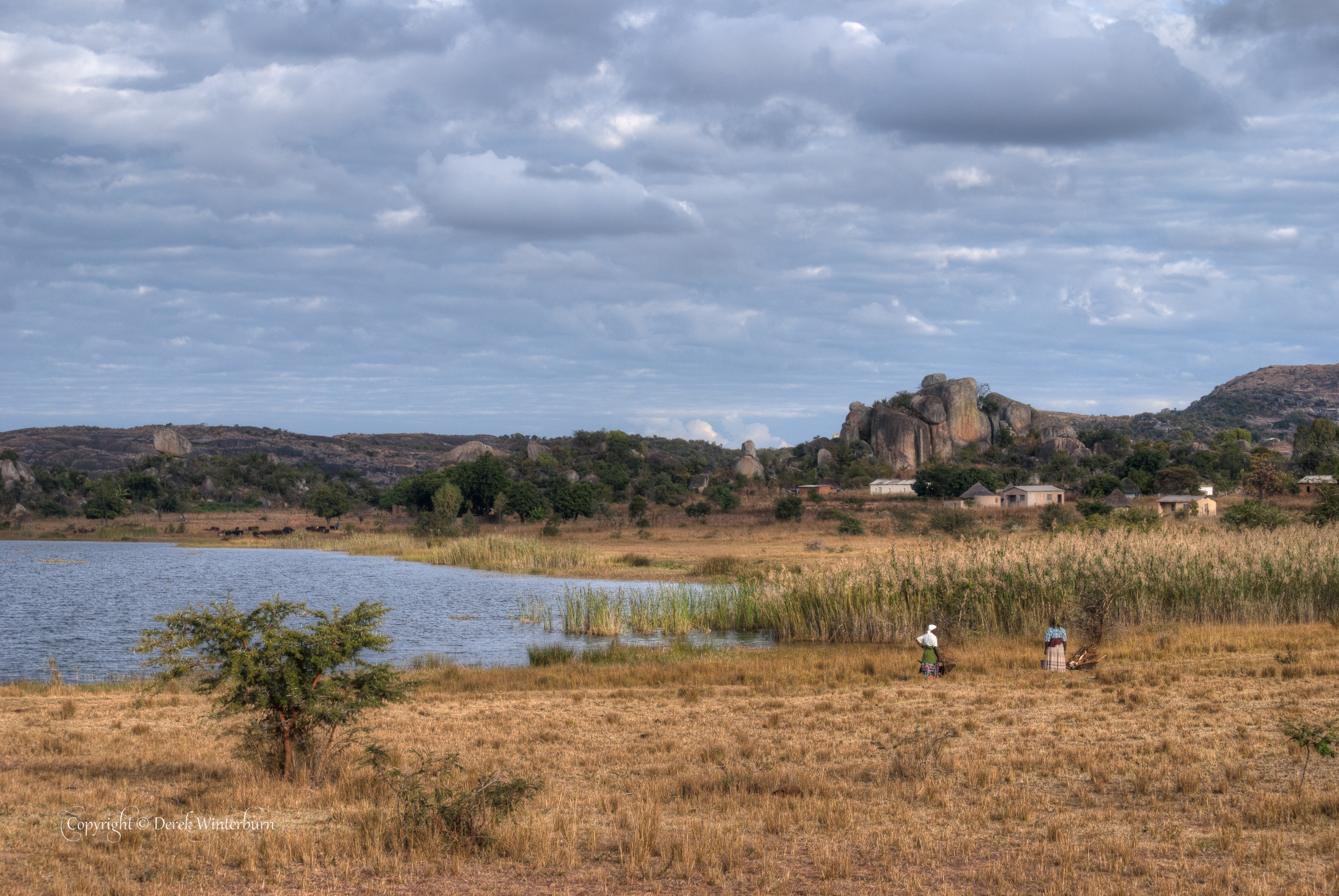
Lake Rusape 1

Primary School 2

Primary School 1
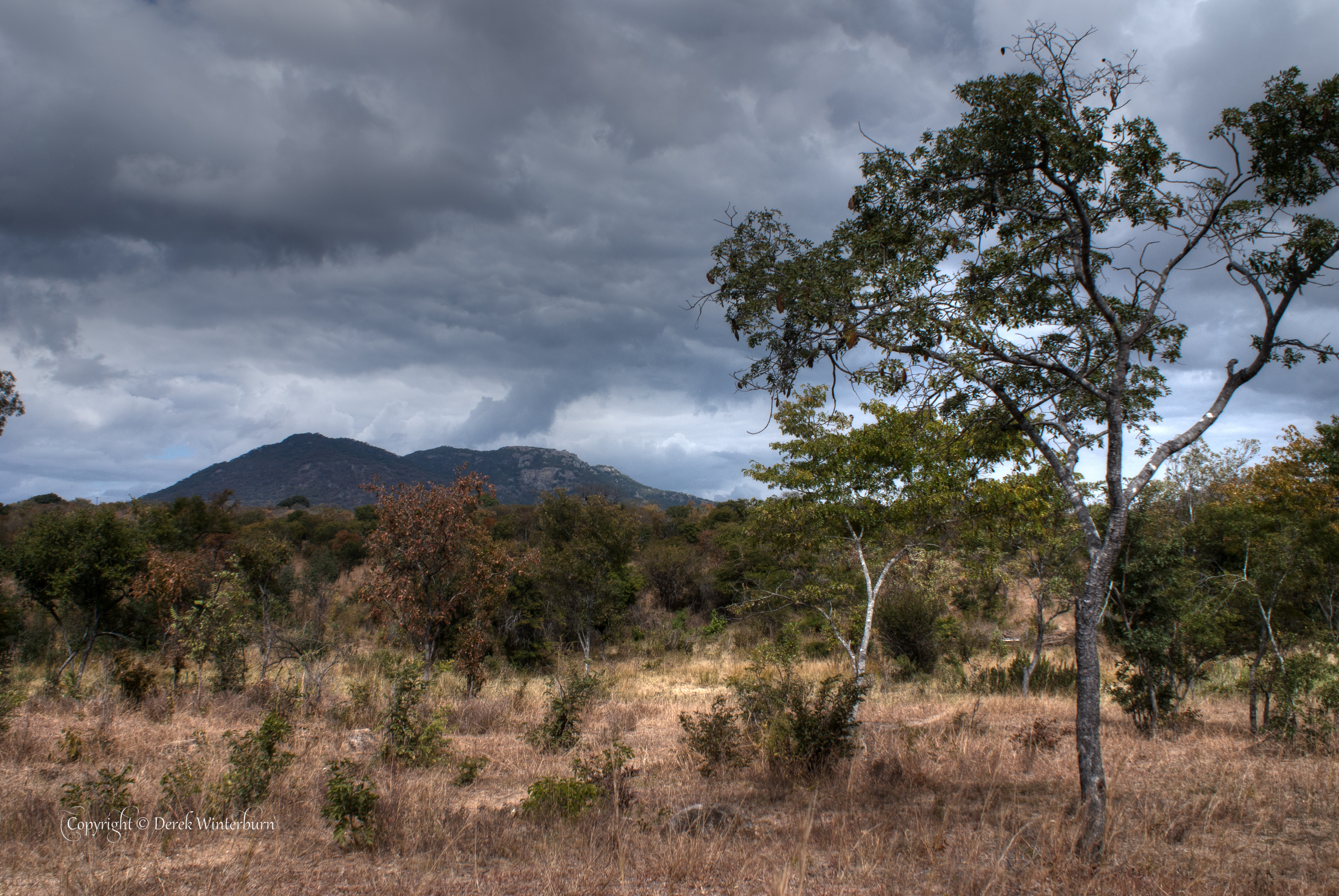
Bush at Tandi
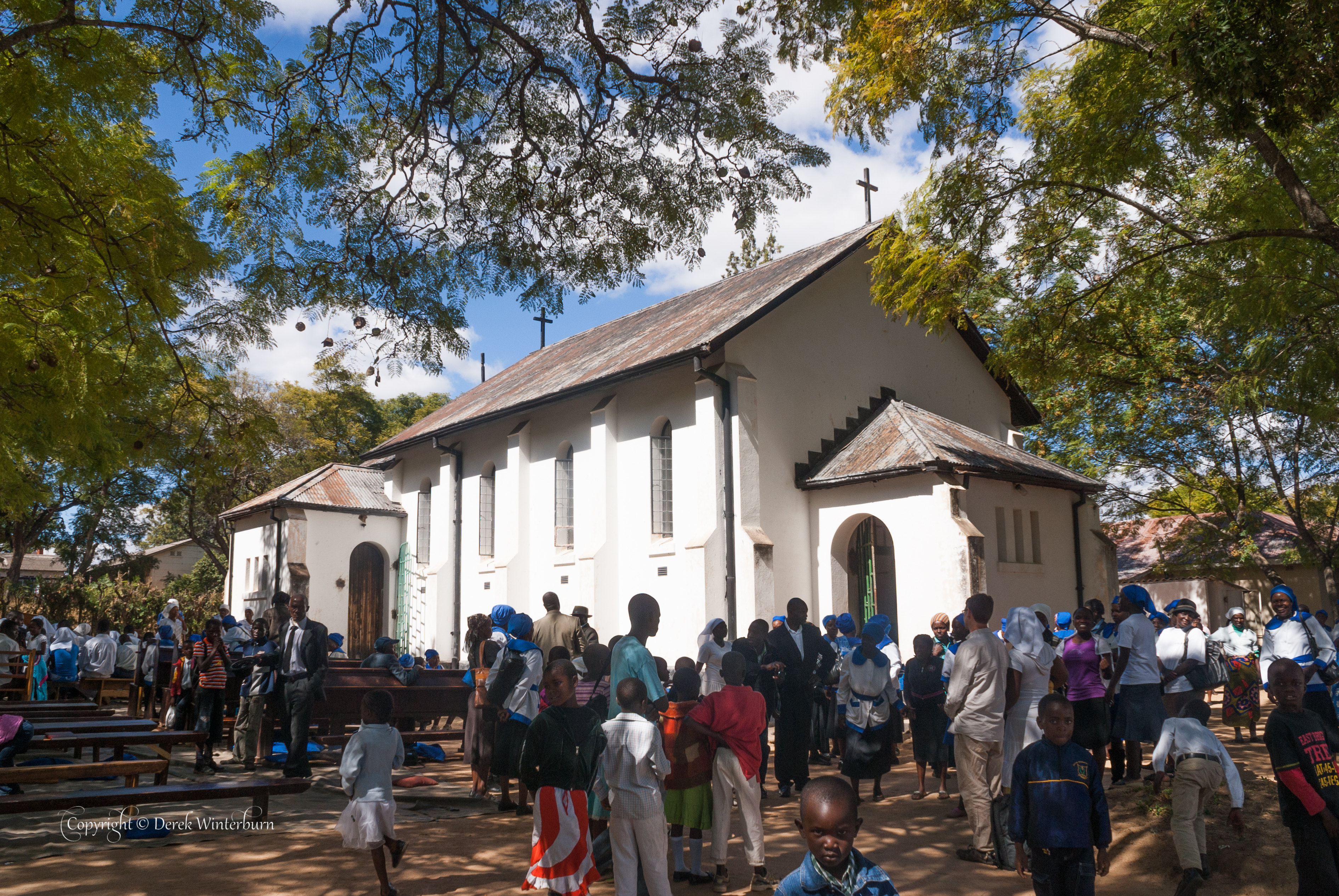
After Church- service was outside

Praying Mantis
Topographic Map of Rusape, Zimbabwe
Find elevation by address:

Places near Rusape, Zimbabwe:
Recent Searches:
- Elevation of Woodland Oak Pl, Thousand Oaks, CA, USA
- Elevation of Brownsdale Rd, Renfrew, PA, USA
- Elevation of Corcoran Ln, Suffolk, VA, USA
- Elevation of Mamala II, Sariaya, Quezon, Philippines
- Elevation of Sarangdanda, Nepal
- Elevation of 7 Waterfall Way, Tomball, TX, USA
- Elevation of SW 57th Ave, Portland, OR, USA
- Elevation of Crocker Dr, Vacaville, CA, USA
- Elevation of Pu Ngaol Community Meeting Hall, HWHM+3X7, Krong Saen Monourom, Cambodia
- Elevation of Royal Ontario Museum, Queens Park, Toronto, ON M5S 2C6, Canada