Elevation map of Manicaland Province, Zimbabwe
Location: Zimbabwe >
Longitude: 32.174605
Latitude: -18.921638
Elevation: 1018m / 3340feet
Barometric Pressure: 90KPa
Elevation Map:
Satellite Map:
Related Photos:

Zimbabwe rock art hol0103 View from Birchenough bridge 3

Zimbabwe rock art hol0101 View from Birchenough bridge 1
Zimbabwe rock art hol0102 View from Birchenough bridge 2

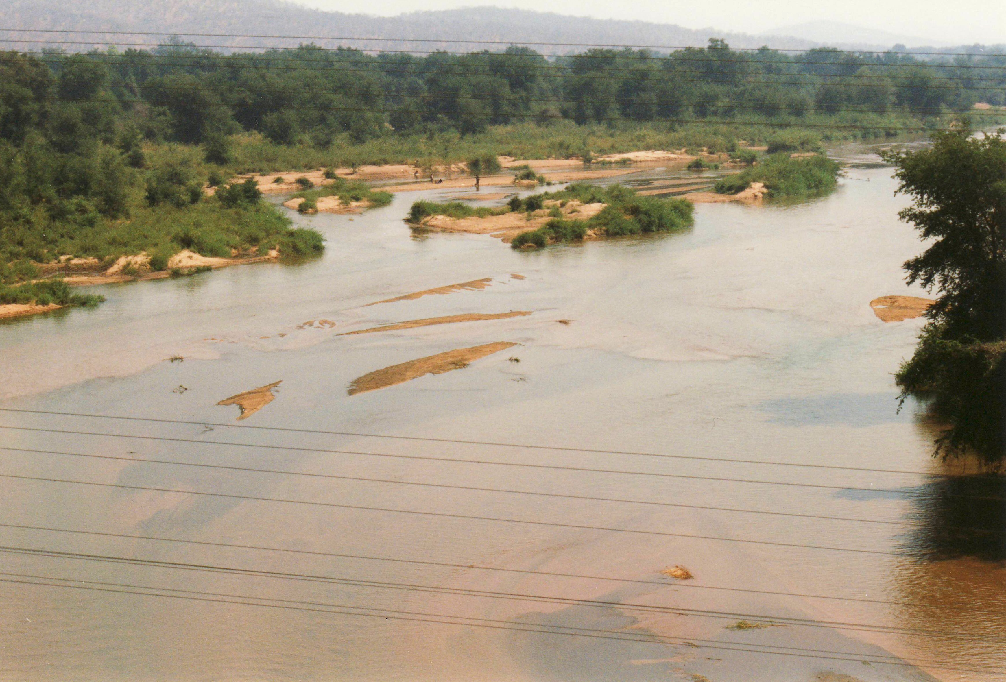
Birchenough Bridge, Save River

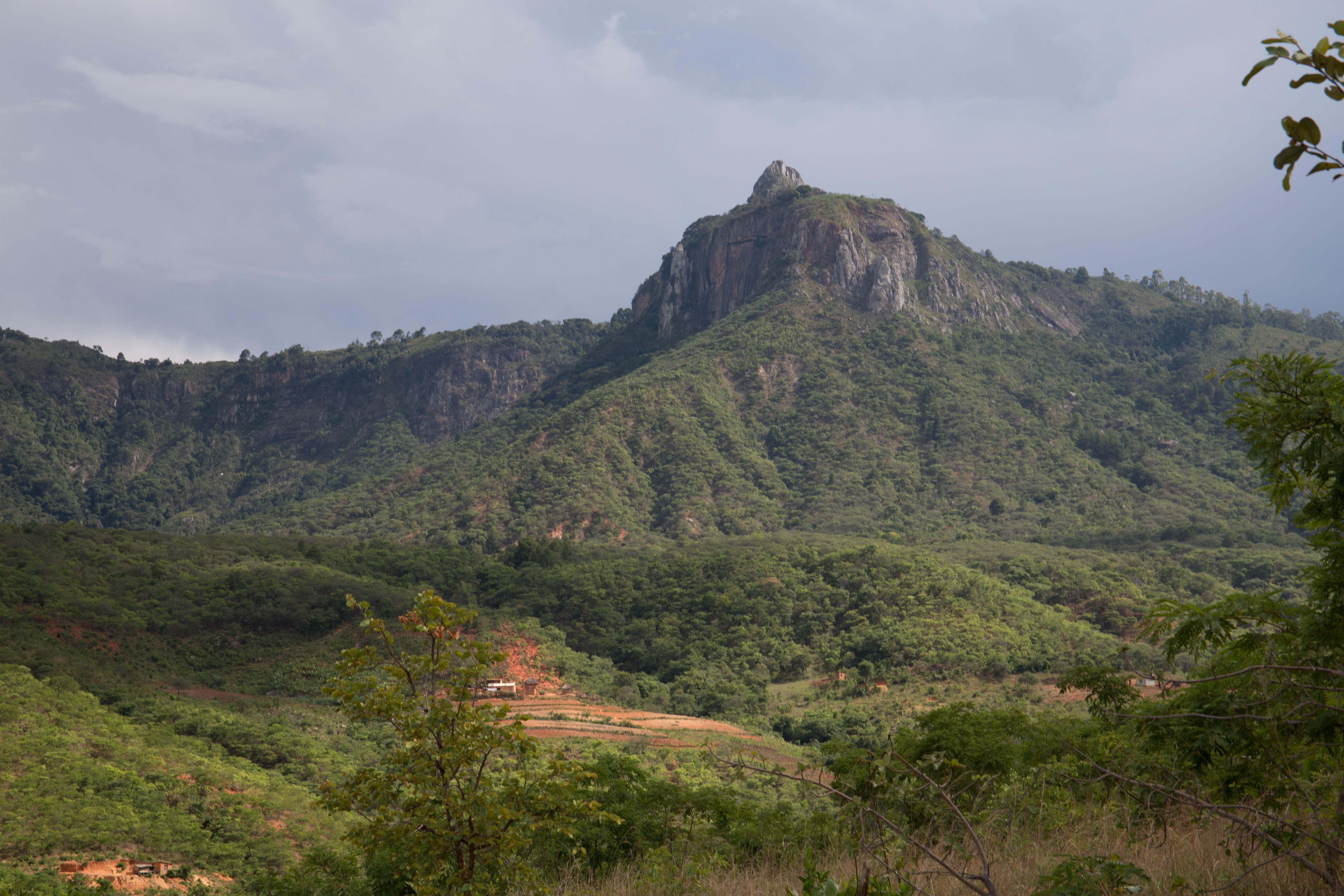
Makoni District Landscape

Makoni District Landscape

National Tree Planting Day on 10 December 2014 in Manicaland Province in Mutare, Zimbabwe
20161209-IMG_0607

20161209-IMG_0545

20161209-IMG_0616

20161208-IMG_0374

20161208-IMG_0377

20161208-IMG_0018

20161207-IMG_9592

20161207-IMG_9550

20161207-IMG_9580

20161207-IMG_9670
Topographic Map of Manicaland Province, Zimbabwe
Find elevation by address:

Places in Manicaland Province, Zimbabwe:
Places near Manicaland Province, Zimbabwe:
Recent Searches:
- Elevation of Zimmer Trail, Pennsylvania, USA
- Elevation of 87 Kilmartin Ave, Bristol, CT, USA
- Elevation of Honghe National Nature Reserve, QP95+PJP, Tongjiang, Heilongjiang, Jiamusi, Heilongjiang, China
- Elevation of Hercules Dr, Colorado Springs, CO, USA
- Elevation of Szlak pieszy czarny, Poland
- Elevation of Griffing Blvd, Biscayne Park, FL, USA
- Elevation of Kreuzburger Weg 13, Düsseldorf, Germany
- Elevation of Gateway Blvd SE, Canton, OH, USA
- Elevation of East W.T. Harris Boulevard, E W.T. Harris Blvd, Charlotte, NC, USA
- Elevation of West Sugar Creek, Charlotte, NC, USA