Elevation of Runaway Hills Rd, Franklin, NC, USA
Location: United States > North Carolina > Macon County > Franklin > Franklin >
Longitude: -83.484012
Latitude: 35.2250883
Elevation: 654m / 2146feet
Barometric Pressure: 94KPa
Elevation Map:
Satellite Map:
Related Photos:

Autumn, Nantahala River (5)

Summer Mountain View

Observation Tower View

Tower Mountain View

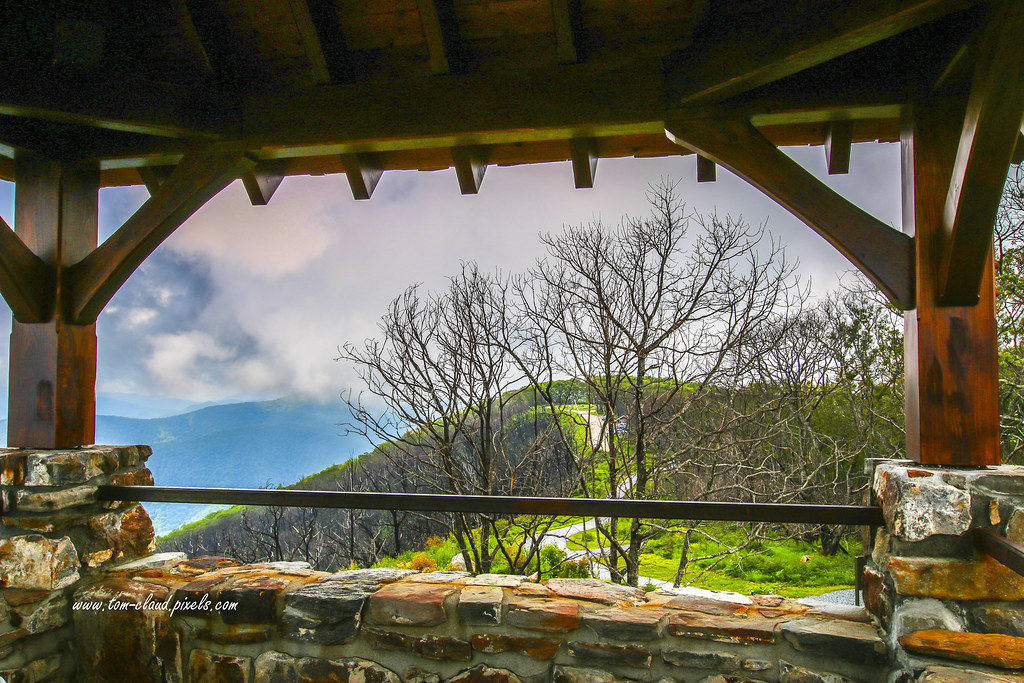
Cloudy Mountain View

Wayah Bald Mountain View
Wayah Bald View

I made it back from Heaven

Nantahala River Gorge - Land of the Noon Day Sun

West View from Wesser Bald Observation Tower

Wayah Bald Fire Tower - Franklin, North Carolina (HDR)

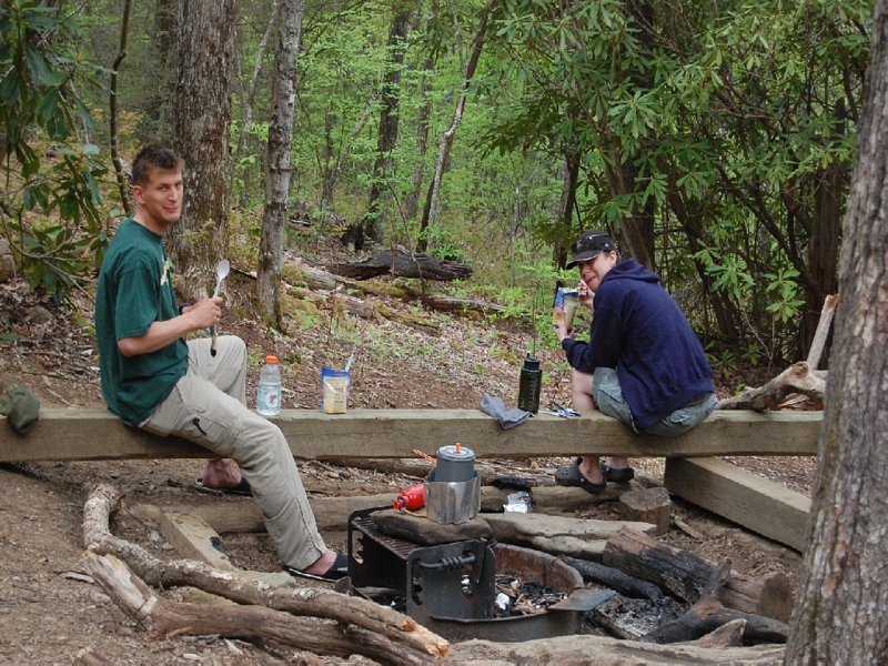
The new Wayah shelter

prison break!

The Cowee Mountains.

View from Wesser Bald

Fontana Lake and Clingman's Dome from Wesser Bald
I must have said something funny

View from W4C/WM-024 - Siler Bald

Wayah Why Such A Bad Photo

Southeast from Wesser Bald

View from W4C/WM-024 - Siler Bald

Blue Ridge Mountains in Autumn. Hayesville, NC

White Water

God's Country!

Mountain waves

Smoky Mountains

Sunlit Mountain Side..... for the moment.

Fantasy Falls

Wayah Bald Tower

Winding Stair Sunrise
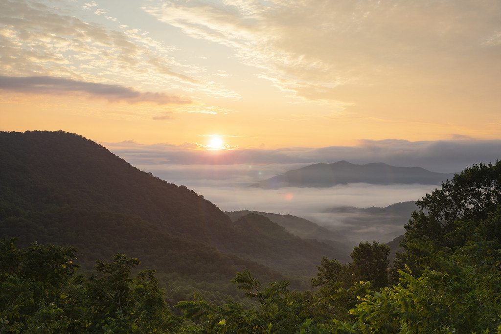
Winding Stair Sunrise

Lake Nantahala sunset

One of my Favorite Spots

Lake Nantahala
Topographic Map of Runaway Hills Rd, Franklin, NC, USA
Find elevation by address:

Places near Runaway Hills Rd, Franklin, NC, USA:
678 Middle Burningtown Rd
1385 Middle Burningtown Rd
1304 Middle Burningtown Rd
3965 Olive Hill Rd
63 Clampit Cove Rd
66 Clampit Cove Rd
450 Keener Mountain Rd
47 Daves Creek Rd
419 Edwards Rd
907 Baldwin Cove
Three Wolf Road
132 Three Wolf Rd
400 State Rd 1388
2393 Olive Hill Rd
Austin Welch Road
2382 Olive Hill Rd
123 Sunset Ridge Rd
Olive Hill Road
189 Guyer Homestead Rd
Recent Searches:
- Elevation of Elwyn Dr, Roanoke Rapids, NC, USA
- Elevation of Congressional Dr, Stevensville, MD, USA
- Elevation of Bellview Rd, McLean, VA, USA
- Elevation of Stage Island Rd, Chatham, MA, USA
- Elevation of Shibuya Scramble Crossing, 21 Udagawacho, Shibuya City, Tokyo -, Japan
- Elevation of Jadagoniai, Kaunas District Municipality, Lithuania
- Elevation of Pagonija rock, Kranto 7-oji g. 8"N, Kaunas, Lithuania
- Elevation of Co Rd 87, Jamestown, CO, USA
- Elevation of Tenjo, Cundinamarca, Colombia
- Elevation of Côte-des-Neiges, Montreal, QC H4A 3J6, Canada