Elevation of Middle Burningtown Rd, Franklin, NC, USA

Location: United States > North Carolina > Macon County > Franklin > Franklin >

Longitude: -83.483747

Latitude: 35.2206579

Elevation: -10000m / -32808feet

Barometric Pressure: 295KPa

Elevation Map:

elevation map of Middle Burningtown Rd, Franklin, NC, USA

Satellite Map:

Satellite map of Middle Burningtown Rd, Franklin, NC, USA

Related Photos:

nantahala wesserbald
I made it back from Heaven
park longexposure autumn trees sun mountain mountains color colour tree green fall water colors beautiful leaves yellow river season nationalpark timelapse nikon rocks exposure pretty kayak day colours seasons power view outdoor gorgeous south great north northcarolina wideangle run rapids southern rafting national rush kayaking land carolina change gorge noon smoky 18200 nantahala current blueridgemountains vr whitewaterrafting greatsmokymountains nantahalaoutdoorcenter greatsmokymountainsnationalpark 18200mm classfour 18200mmvr class4 classiv nantahalarivergorge d7000 landofthenoondaysun
Nantahala River Gorge - Land of the Noon Day Sun
bald sota siler summitsontheair elecraftkx3 ki4svm 88doublet w4cwm024 hardrock50
W4C/WM-024 - Siler Bald View
mountain mountainview clouds cloudy sky weather trees forest nantahala nantahalanationalforest landscape mountainscape nature mothernature outdoors greatoutdoors northcarolina franklin usa
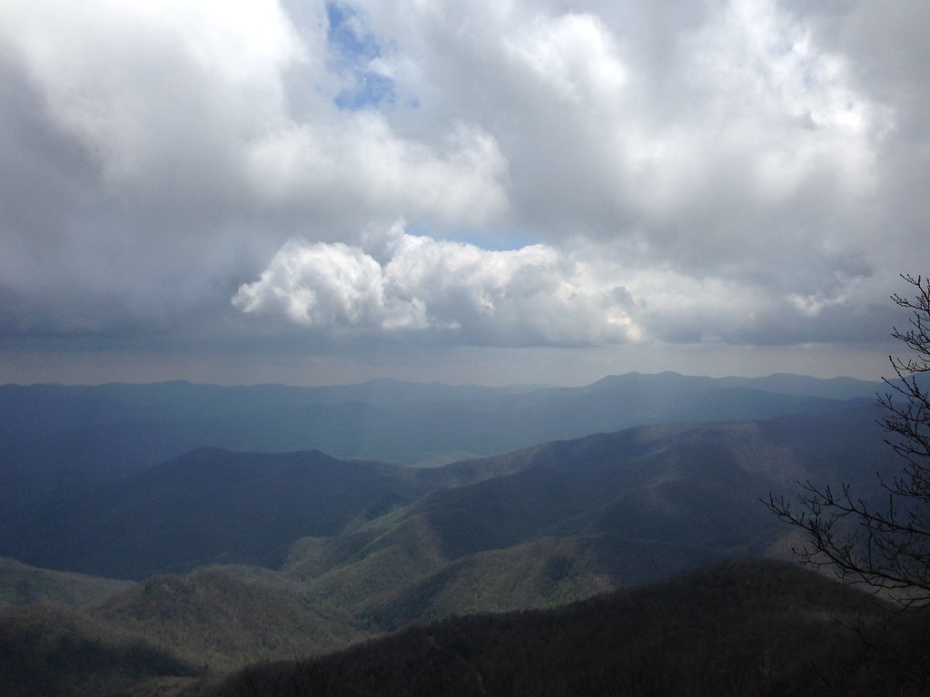
Cloudy Mountain View
West View from Wesser Bald Observation Tower
house home homestead architecture building ranger forestranger forest nantahala nantahalanationaforest chimney brick wood framewoodframe northcarolina franklin usa rural outdoors trees grass
Nantahala Ranger House #3
tower observationtower mountains mountain view mountainview nature mothernature sky clouds cloudy weather trees forest nantahala nationalforest nantahalanationalforest northcarolina franklin usa landscape country rural
Observation Tower View
autumn northcarolina appalachian smokies smokymountains appalachiantrail noc gsmnp wesser wesserbald
Fontana Lake and Clingman's Dome from Wesser Bald
mountain view mountainview observation tower observationtower trees trail outdoors sky clouds cloudy weather landscape nature mothernature wayahbald northcarolina franklin usa
Tower Mountain View
God's Country!
mountainview trees clouds cloudy sky weather nature mothernature outdoors greatoutdoors country rural mountains franklin northcarolina wayah bald wayahbald nantahala forest nationalforest nantahalanationalforest landscape
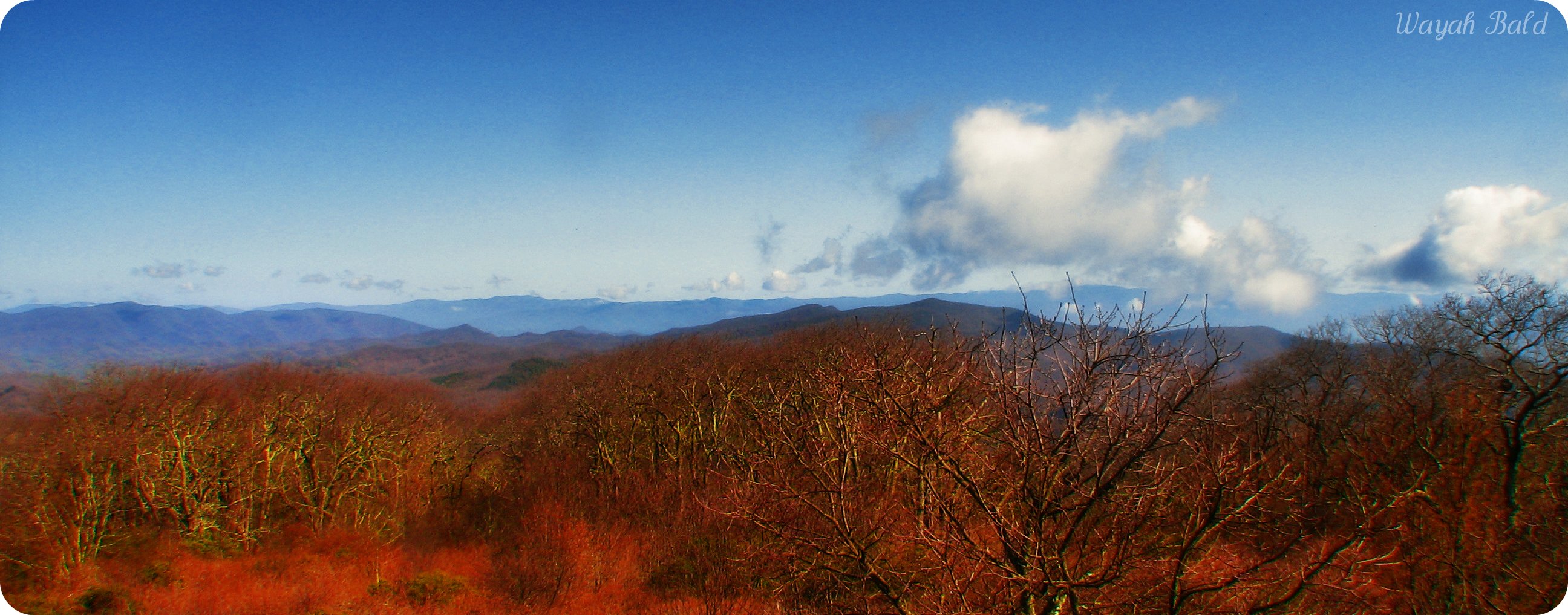
Wayah Bald Mountain View
autumn nc northcarolina appalachian appalachiantrail maconcounty wesser southernappalachians wesserbald
View from Wesser Bald
mountain view mountainview moutains landscape clouds cloudy sky weather outdoors nature mothernature trees country rural forest nantahala nationalforest nantahalanationalforest franklin northcarolina usa
Summer Mountain View
mountains clouds view
View from Wayah Bald Tower
Wayah Bald
82-140_View_from_Wayah_Bald_Nantahala_National_Forest_NC
trees mountains view
Halfway up Runaway Knob
cabin woods northcarolina september2009
view from the road
square squareformat iphoneography instagramapp uploaded:by=instagram foursquare:venue=4c9a63ded4b1b1f7b3cccf35
Our sunset view from the Parsons' cabin in #brysoncity #northcarolina #ttot #nofilter
water river fun friend whitewater kayaking nantahala whitewaterkayaking jacksonkayaks
David In His New Boat
northcarolina appalachian whiteside appalachiantrail hogback maconcounty wesser at wesserbald
Southeast from Wesser Bald
Well, this is obviously going to be popular
Wesser Bald Jeep Trail
westernnorthcarolina nantahalanationalforest appalachiantrail infrared pentax k5 smcpentax13535mm iridientdeveloper affinityphoto
Mountain waves
nantahala gorge river water mist fog evening dusk silhouette fisherman rowing paddlig noc out door center sunset north carolina nc thepinnaclehof tphofweek56 canoe canoeing canoing kayak kayaking whitewater paddle minimal minimalist family vacation holiday rocks flowing paddling
The mists of Nantahala Gorge
sunrise morning daybreak dawn nature beautiful orange mountains nantahalanationalforest franklin mist fog clouds sky landscape sun
Winding Stair Sunrise
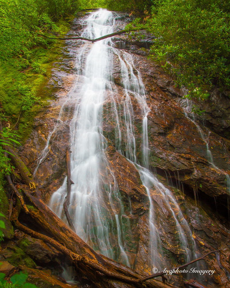
usa nature water franklin us waterfall nc augphotoimagery
Rufus Morgan Falls
6d canon ef2470f28l eos landscape mountains naturalbeauty naturallight nature outdoor summer topazlabs water waterfall beautiful river roadtrip rocks travel trees
White Water
road usa fall leaves franklin us unitedstates northcarolina roadtrip dirtroad
Fall colors
sunset cloudy
Smoky Mountains
northcarolina september2009
bird-like fossil
square squareformat iphoneography instagramapp uploaded:by=instagram
Alarka Falls #alarkafalls #brysoncity #wnc #ncwaterfalls #waterfallpics #waterfallhiking #waterfallphotography #iphotography #igersoftheday #828isgreat #blueridgecountry
square squareformat iphoneography instagramapp uploaded:by=instagram
Big Laurel Falls #franklin #standingindian #appalachia #blueridgecountry #welovenc #we_see_wnc #wilderness_culture #biglaurelfalls #diamondbrand_outdoors #cmc100challenge #stream #falls #explore #westernnorthcarolina #landofwaterfalls
trip family snow mountains cars ice fun climb nc tn roadtrip trucks
Interstate ice wall
home house lake lakefront lakeside nantahalalake mountain mountains rural country landscape clouds cloudy sky bluesky weather nature mothernature fall foliage fallfoliage fallcolors water trees northcarolina franklin usa
Home on the Lake #2
canon 5dmarkiii canon24105mm nature october beauty longexposure nd filters northcarolina noc nantahalariver
Ahhhhh!
autumn fall water creek project river 365 nantahala noc iphone nantahalaoutdoorcenter project365 365project iphoneography
345/365