Elevation of Rue Bigras, Brownsburg, QC J0V, Canada
Location: Canada > Québec > Argenteuil Regional County Municipality > Brownsburg > Brownsburg-chatham >
Longitude: -74.478707
Latitude: 45.7406437
Elevation: 247m / 810feet
Barometric Pressure: 98KPa
Elevation Map:
Satellite Map:
Related Photos:

1974 Dodge Charger front view

1940 Plymouth PT 105 side

1968 Ford Mustang front and side view

1956 GMC truck front and side

1956 Pontiac Star Chief side and front

1956 Meteor Rideau side

1957 Monarch Lucerne side
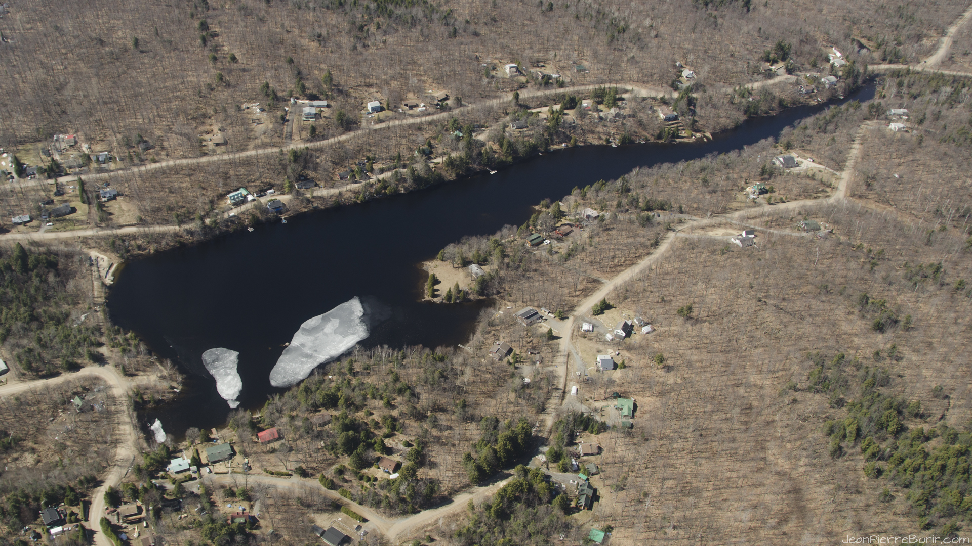
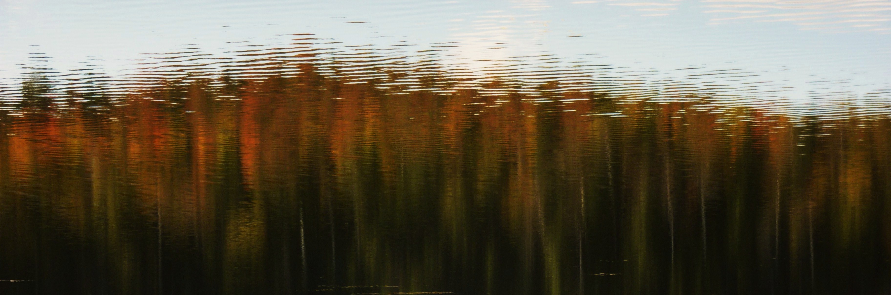
1920x1080 Printemps-Spring, Lac Crooks Lake, Lachute, Qc

1956 Meteor Rideau rear view

1956 Thunderbird front and side

1972 Chevrolet Malibu rear and side
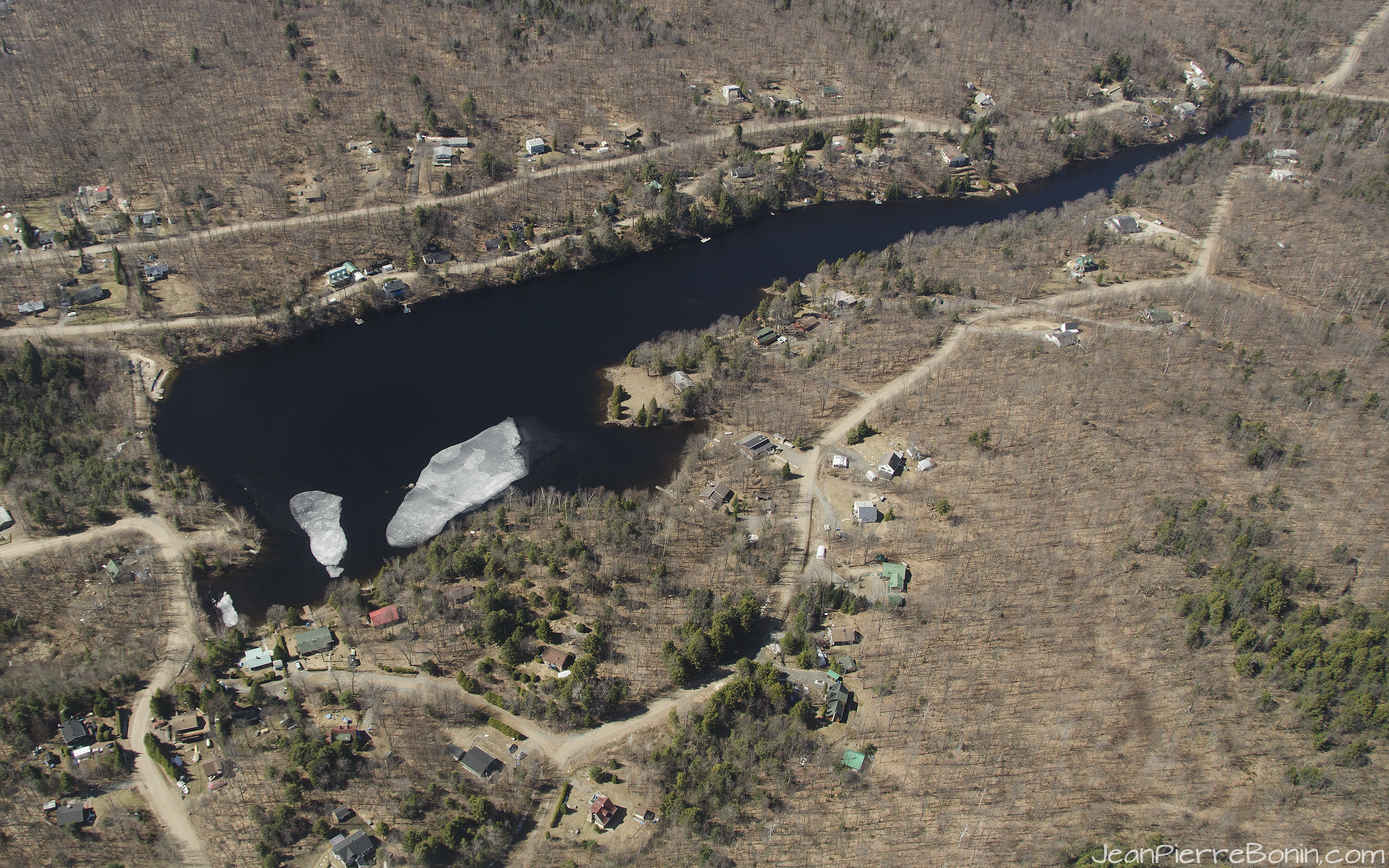
2560x1600 16-10 Printemps-Spring, Lac Crooks Lake, Lachute, Qc

1956 Pontiac Star Chief front quarter

1972 Chevrolet Malibu

1956 Pontiac Star Chief front

1957 Monarch Lucerne front
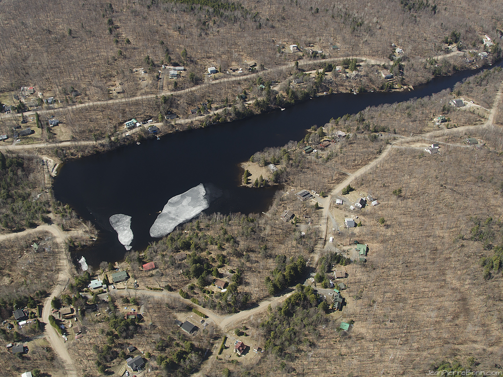
1024x768 (4/3) Printemps-Spring, Lac Crooks Lake, Lachute, Qc

1956 Meteor Rideau front

1280x1024 Printemps-Spring, Lac Crooks Lake, Lachute, Qc

1962 Corvette side

1931 Model A pickup front
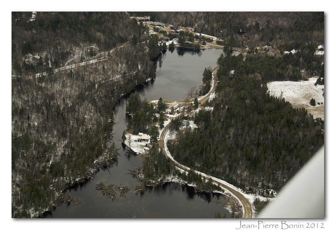
131012 Promenade de la Rivière, Brownsburg-Chatham -9429
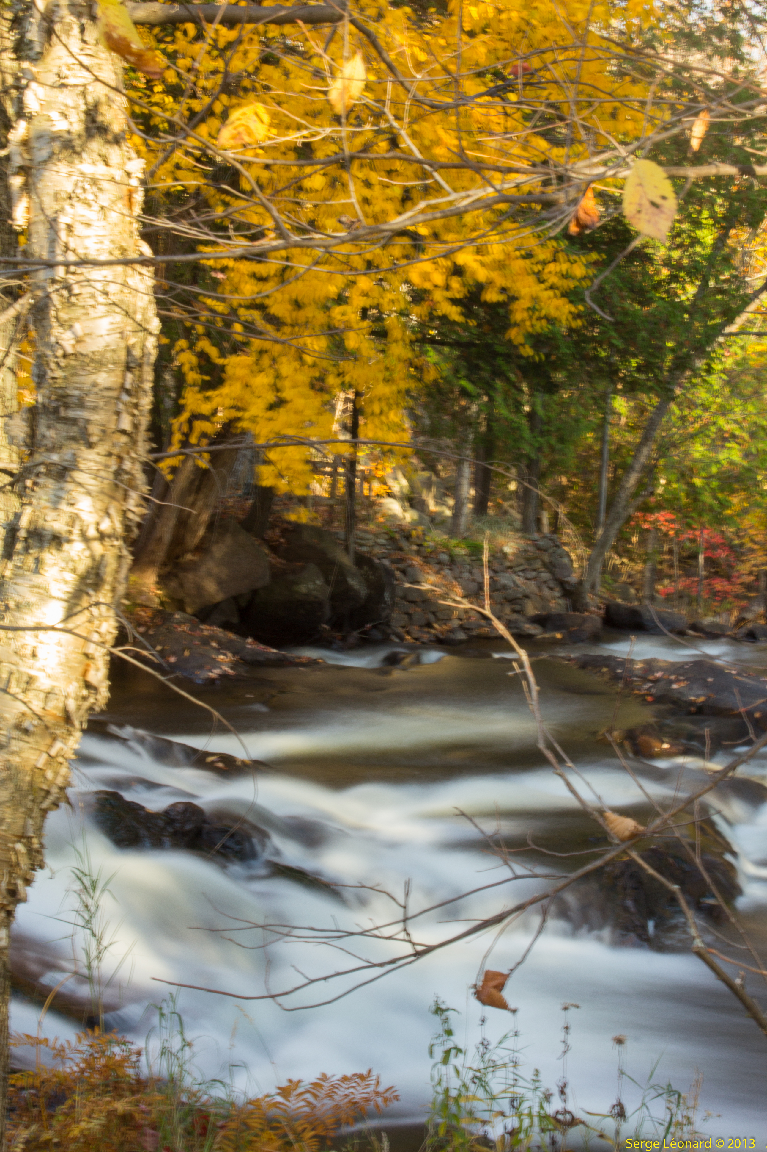
131012 Promenade de la Rivière, Brownsburg-Chatham -9425

131012 Promenade de la Rivière, Brownsburg-Chatham -9427
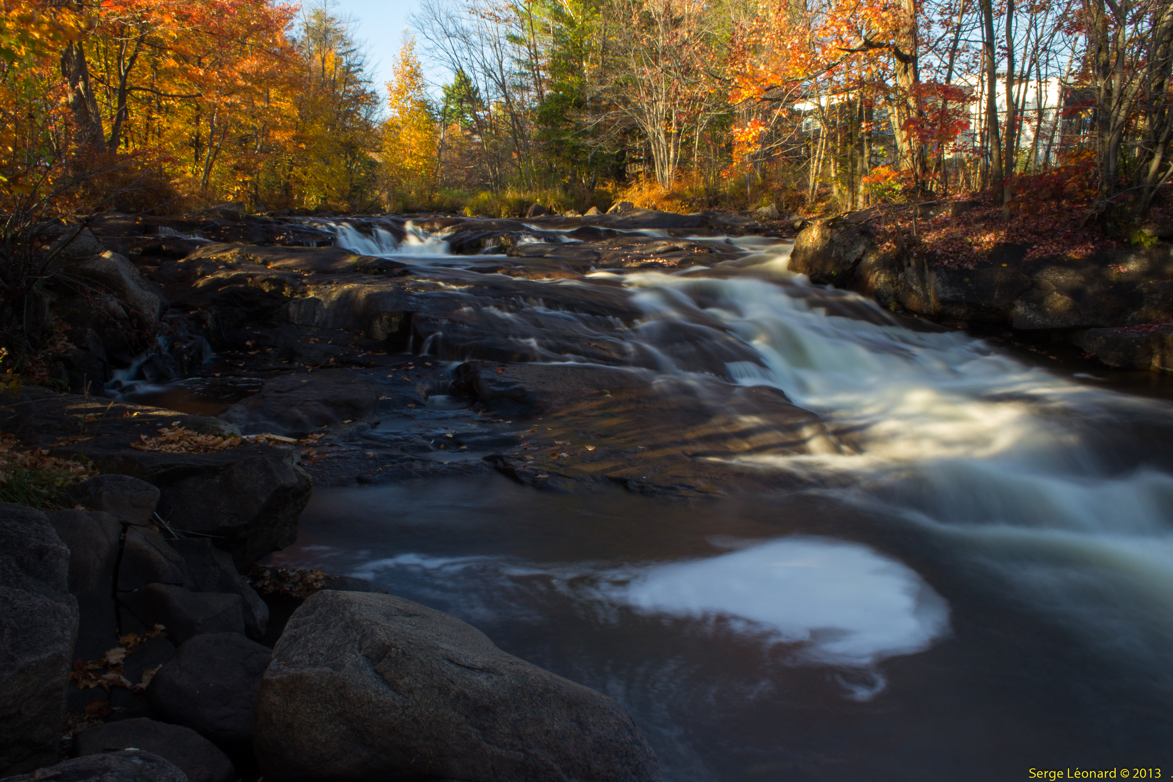
131012 Promenade de la Rivière, Brownsburg-Chatham -9434
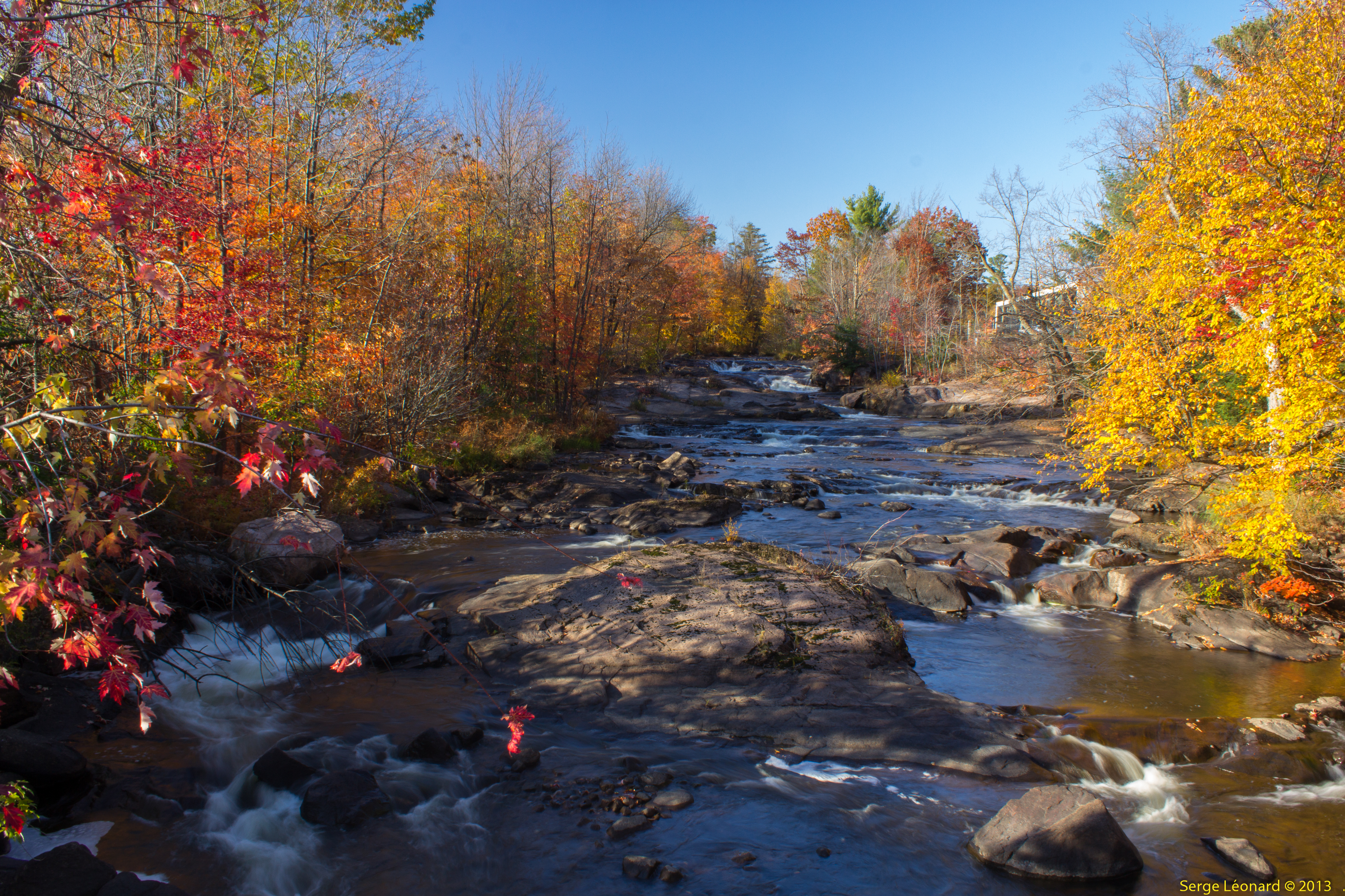
131012 Promenade de la Rivière, Brownsburg-Chatham -9411

131012 Promenade de la Rivière, Brownsburg-Chatham -9416
On a slippery slope

_MG_6997 copie
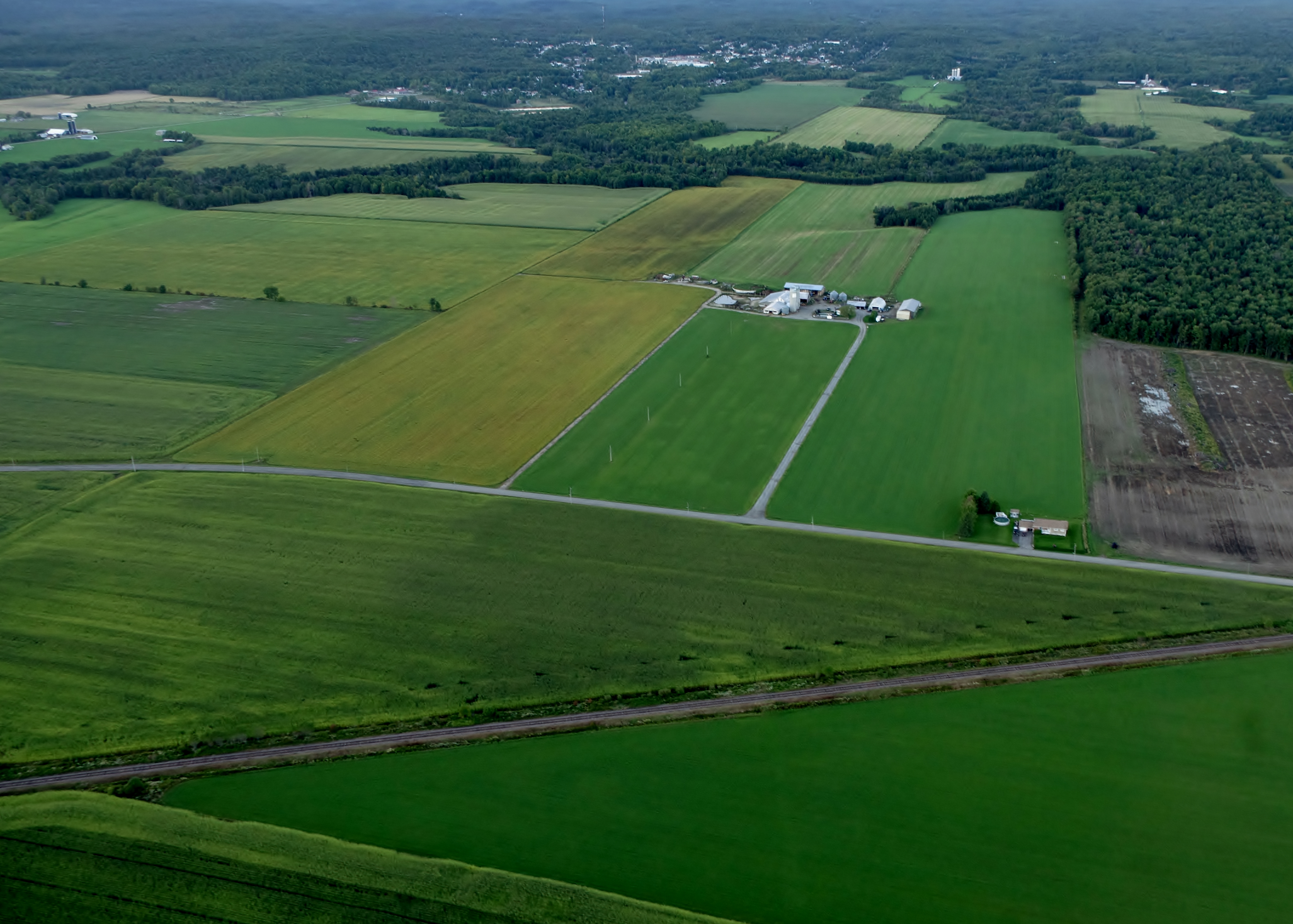
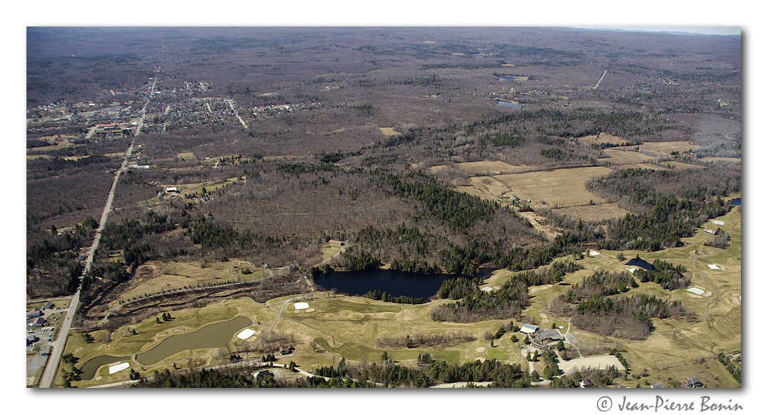
Fields from Above
Field near Rivington, Québec
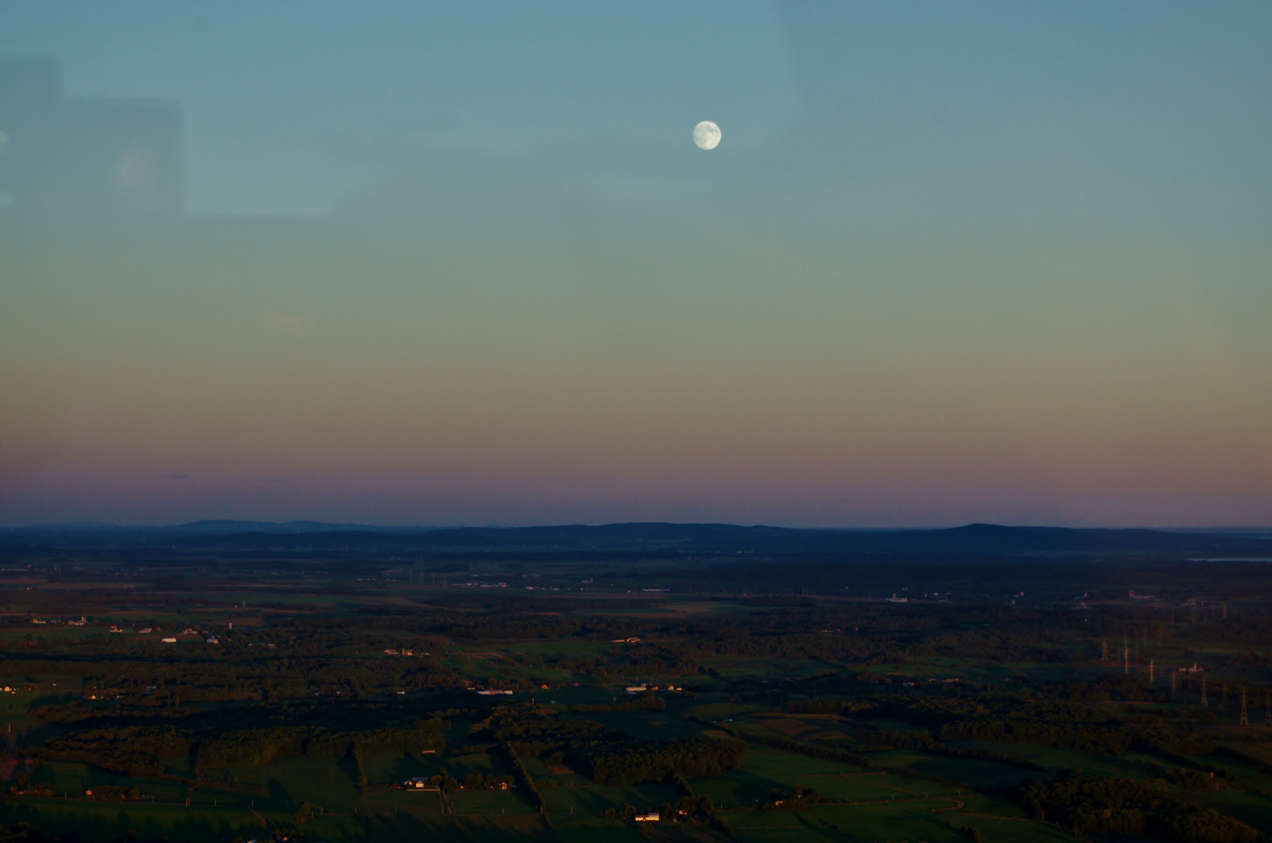
Moon above the land

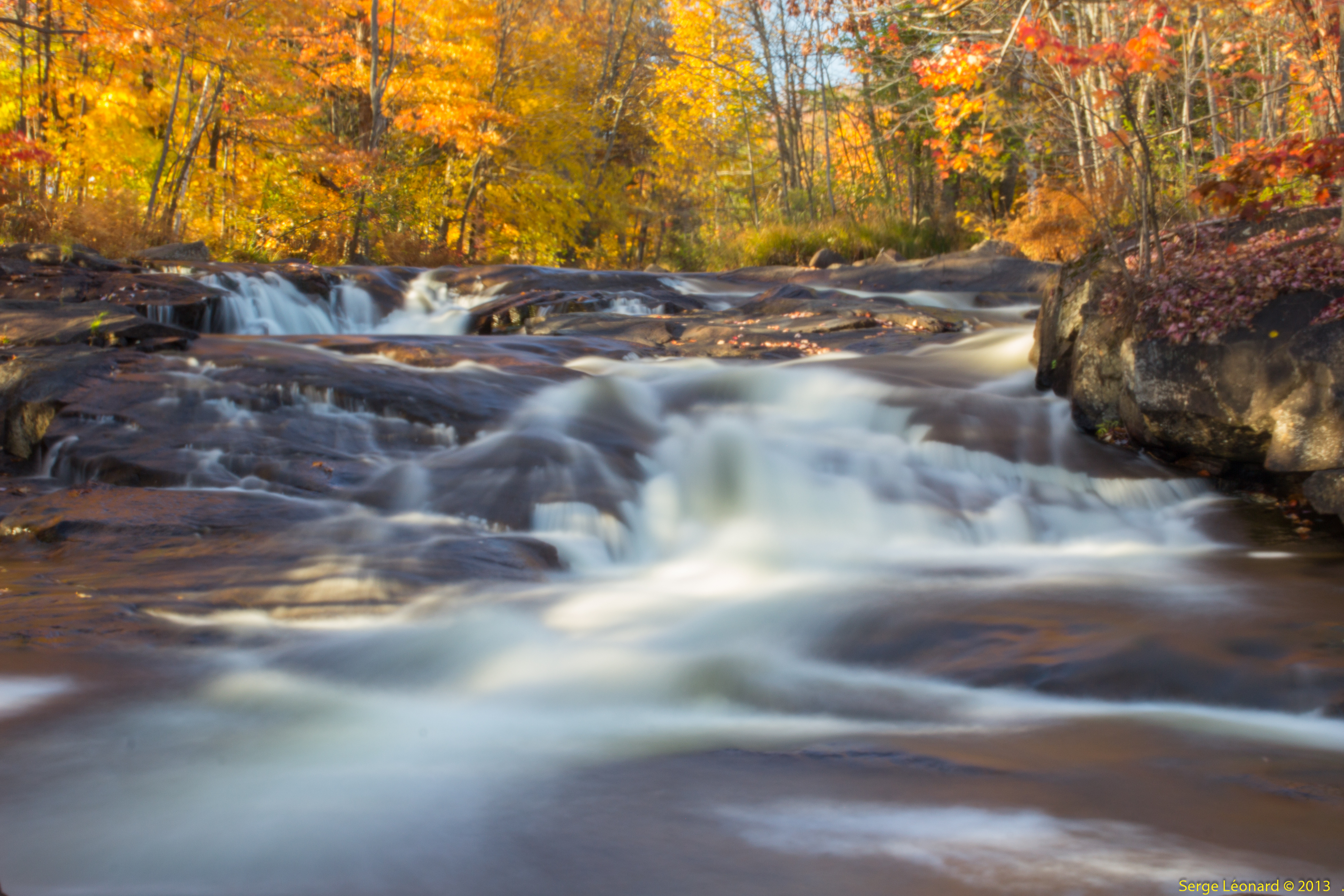
Route Principale, Laurentides Québec Automne 2011
_DSC5516 copy
Harrington, 25 sept. 2011. Emerald lake.
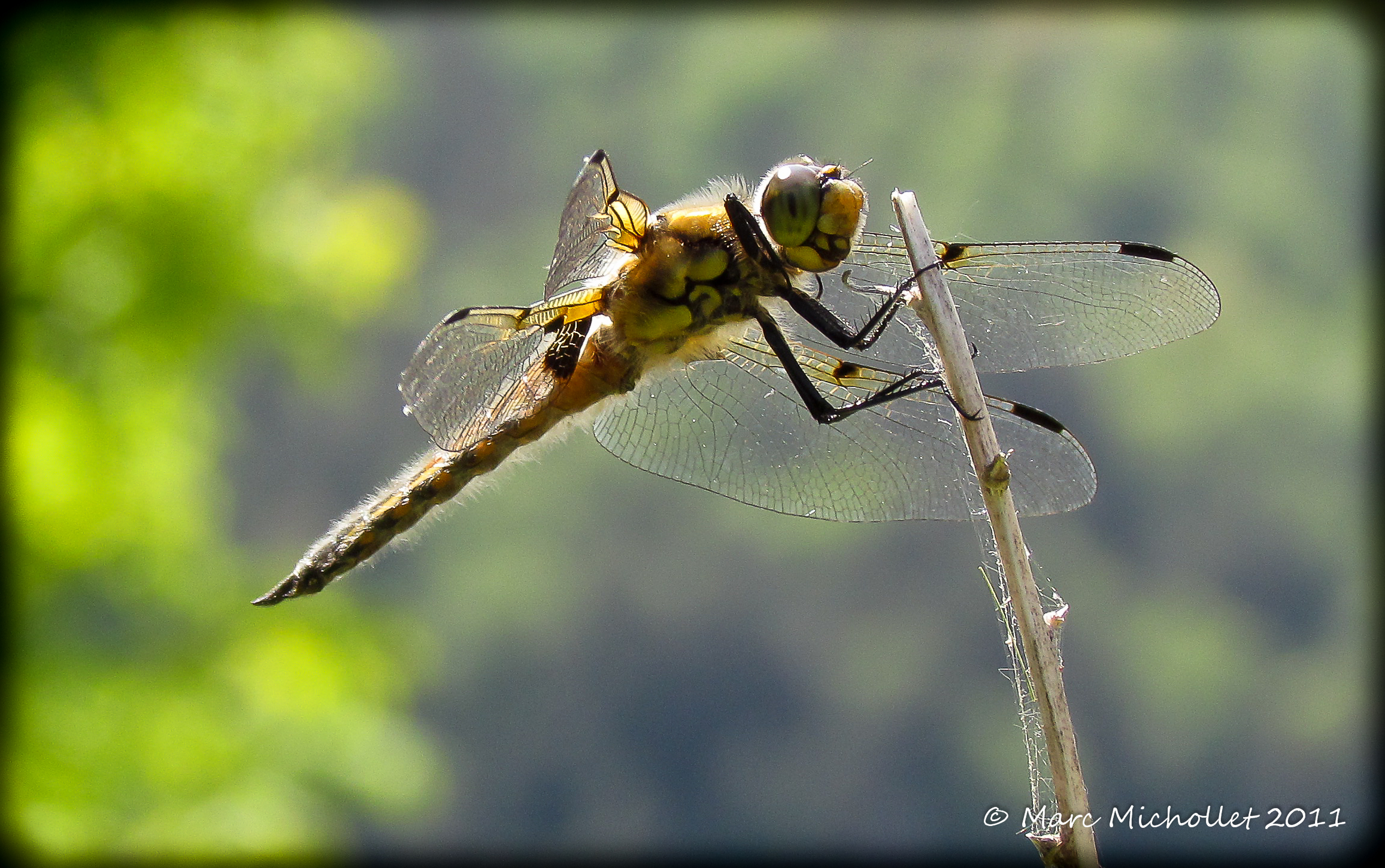
Libéllule

Chalet Lac a la truite 2014 (18)
Lost River (Harrington), Qc DSC_5715 copie
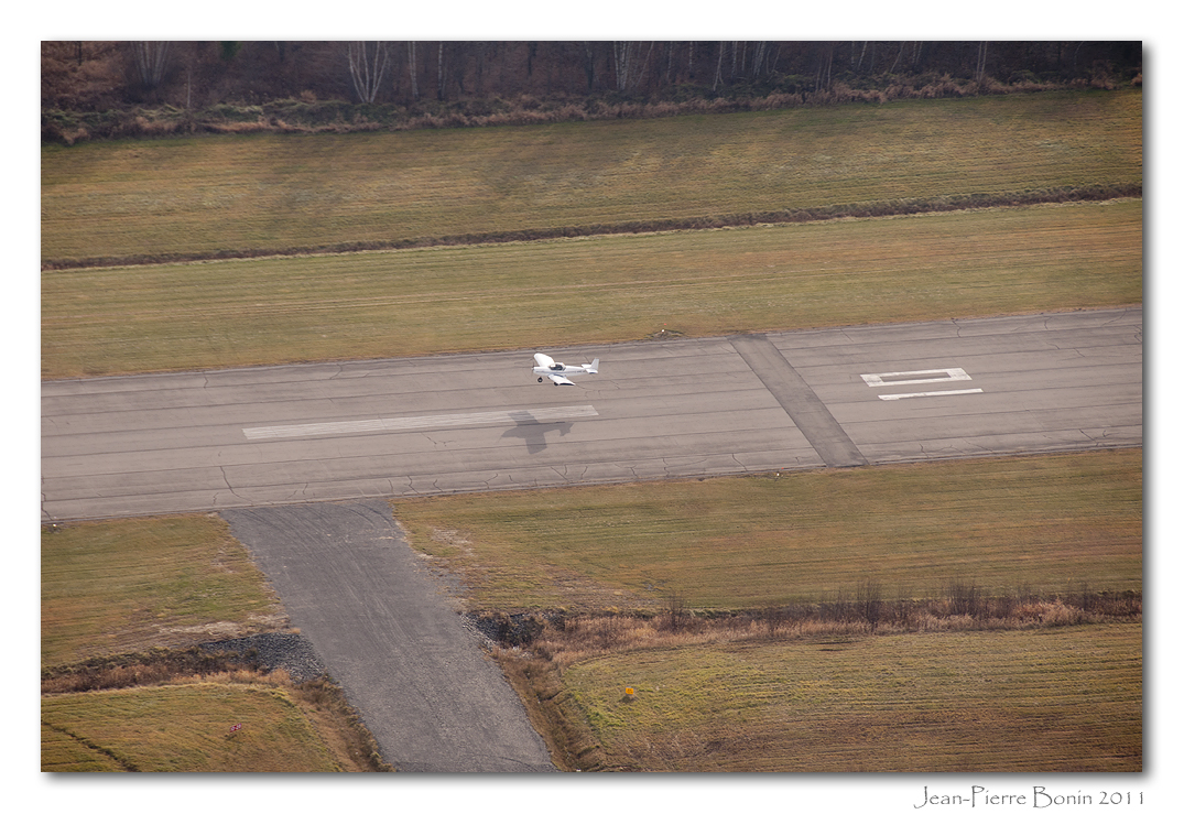
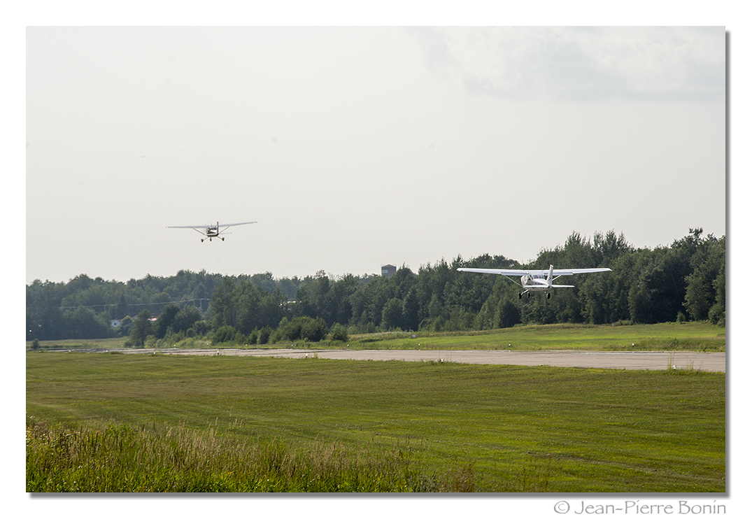
C-IFPC Zenair Zodiac CH 601 HD sn:5418 (2006) pour un poser-décoller piste 10 CSE4 touch and go
DSC_8234 copie
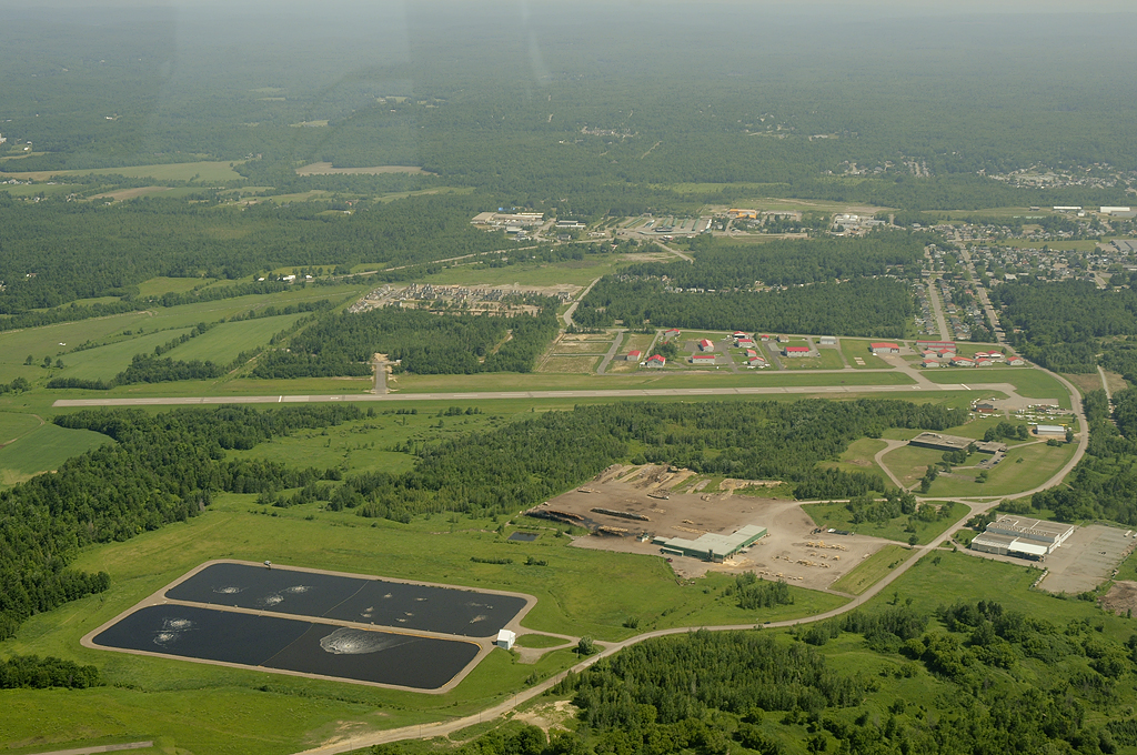
Aéroport de Lachute Airport CSE4 DSC_0901m
Est de Pine Hill, Qc DSC_5733 copie
Topographic Map of Rue Bigras, Brownsburg, QC J0V, Canada
Find elevation by address:

Places near Rue Bigras, Brownsburg, QC J0V, Canada:
Chemin Mario
423 Chemin Du Lac Louisa N
26 Chemin De La Forêt
1822 Chemin Lebeau
1822 Chemin Lebeau
Argenteuil Regional County Municipality
Wentworth-nord
Chemin De La Rivière Perdue
Lac Crooks
Wentworth-nord
J0t 1y0
102 Ch Du Ruisseau
J8g 1x9
Wentworth
3327 Chemin Fandrich
J8h 0a2
Wentworth
2263 Ch Dunany
2263 Ch Dunany
2263 Ch Dunany
Recent Searches:
- Elevation of Leguwa, Nepal
- Elevation of County Rd, Enterprise, AL, USA
- Elevation of Kolchuginsky District, Vladimir Oblast, Russia
- Elevation of Shustino, Vladimir Oblast, Russia
- Elevation of Lampiasi St, Sarasota, FL, USA
- Elevation of Elwyn Dr, Roanoke Rapids, NC, USA
- Elevation of Congressional Dr, Stevensville, MD, USA
- Elevation of Bellview Rd, McLean, VA, USA
- Elevation of Stage Island Rd, Chatham, MA, USA
- Elevation of Shibuya Scramble Crossing, 21 Udagawacho, Shibuya City, Tokyo -, Japan