Elevation of Brownsburg, QC, Canada
Location: Canada > Québec > Argenteuil Regional County Municipality >
Longitude: -74.447213
Latitude: 45.6608378
Elevation: 79m / 259feet
Barometric Pressure: 100KPa
Elevation Map:
Satellite Map:
Related Photos:

1974 Dodge Charger front view

1968 Ford Mustang front and side view

1956 GMC truck front and side

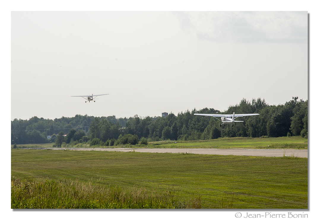
1024 x 768 Citabria _DSC1926

1956 Pontiac Star Chief side and front
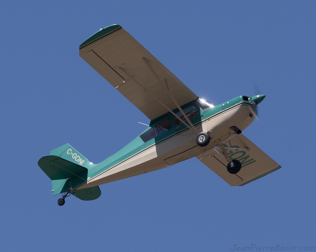
1280 x 1024 Citabria _DSC1926
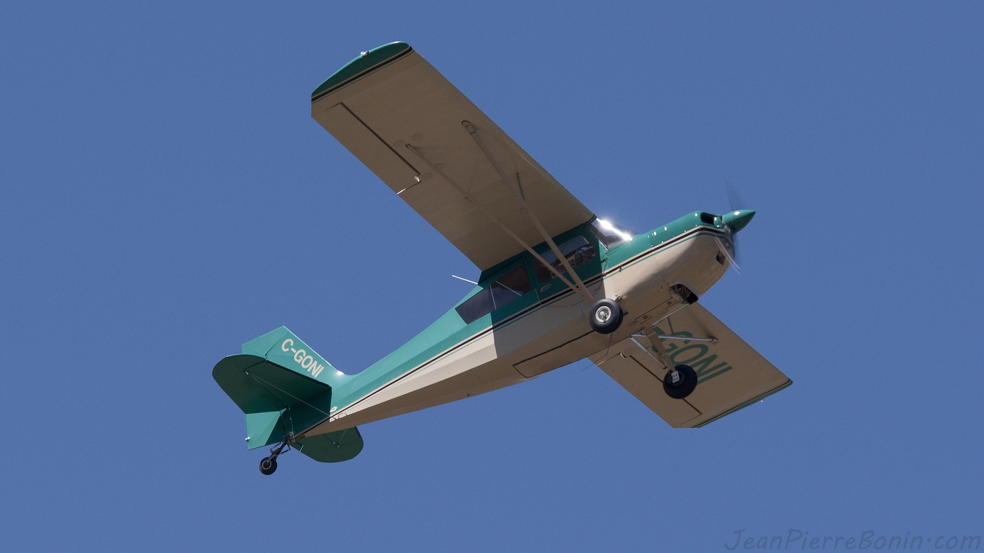
1920 x 1080 Citabria _DSC1926

1956 Meteor Rideau side

2560 x 1600 Citabria _DSC1926

1940 Plymouth PT 105 side

1957 Monarch Lucerne side
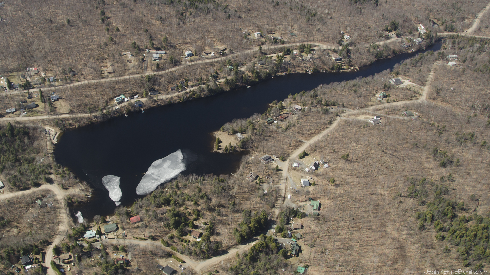
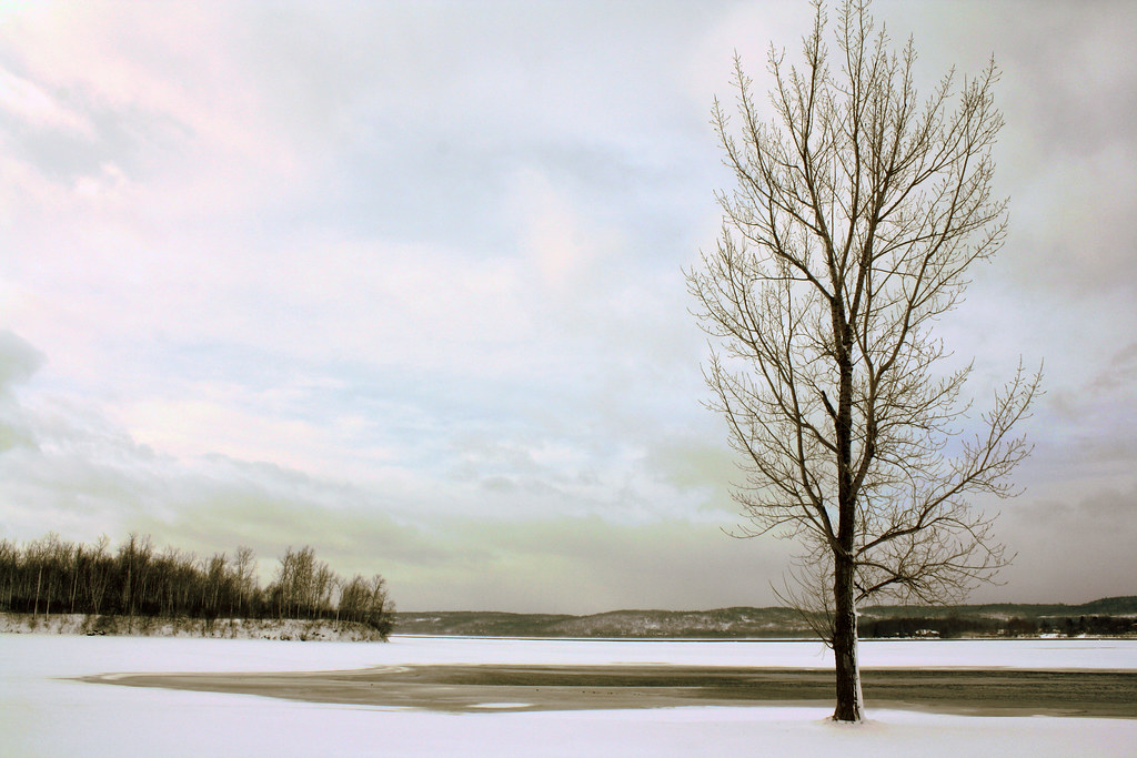
1920x1080 Printemps-Spring, Lac Crooks Lake, Lachute, Qc

1956 Meteor Rideau rear view

1956 Thunderbird front and side

1972 Chevrolet Malibu rear and side

1974 Dodge Charger side view
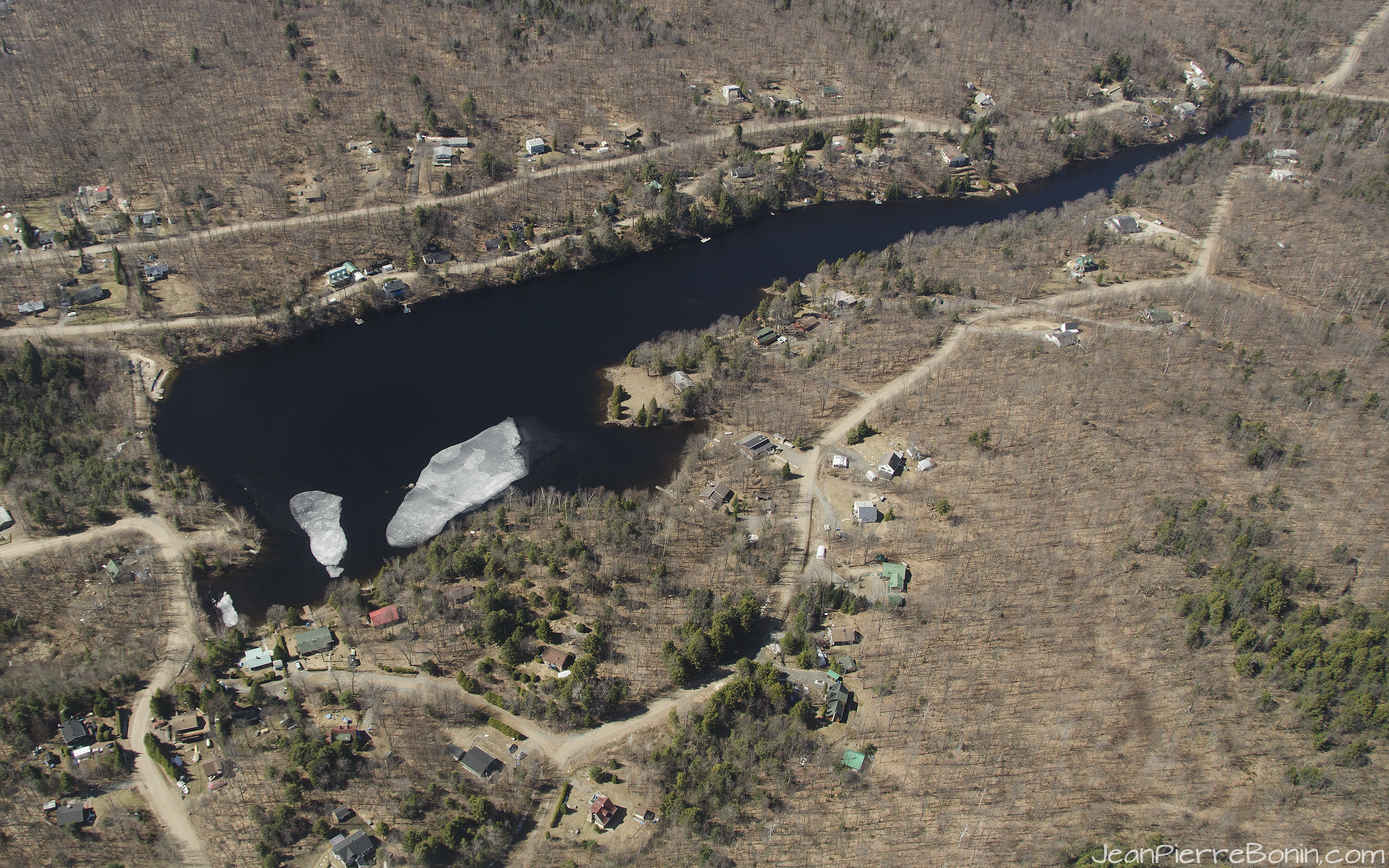
2560x1600 16-10 Printemps-Spring, Lac Crooks Lake, Lachute, Qc

1956 Pontiac Star Chief front quarter

1972 Chevrolet Malibu

1956 Pontiac Star Chief front

1957 Monarch Lucerne front
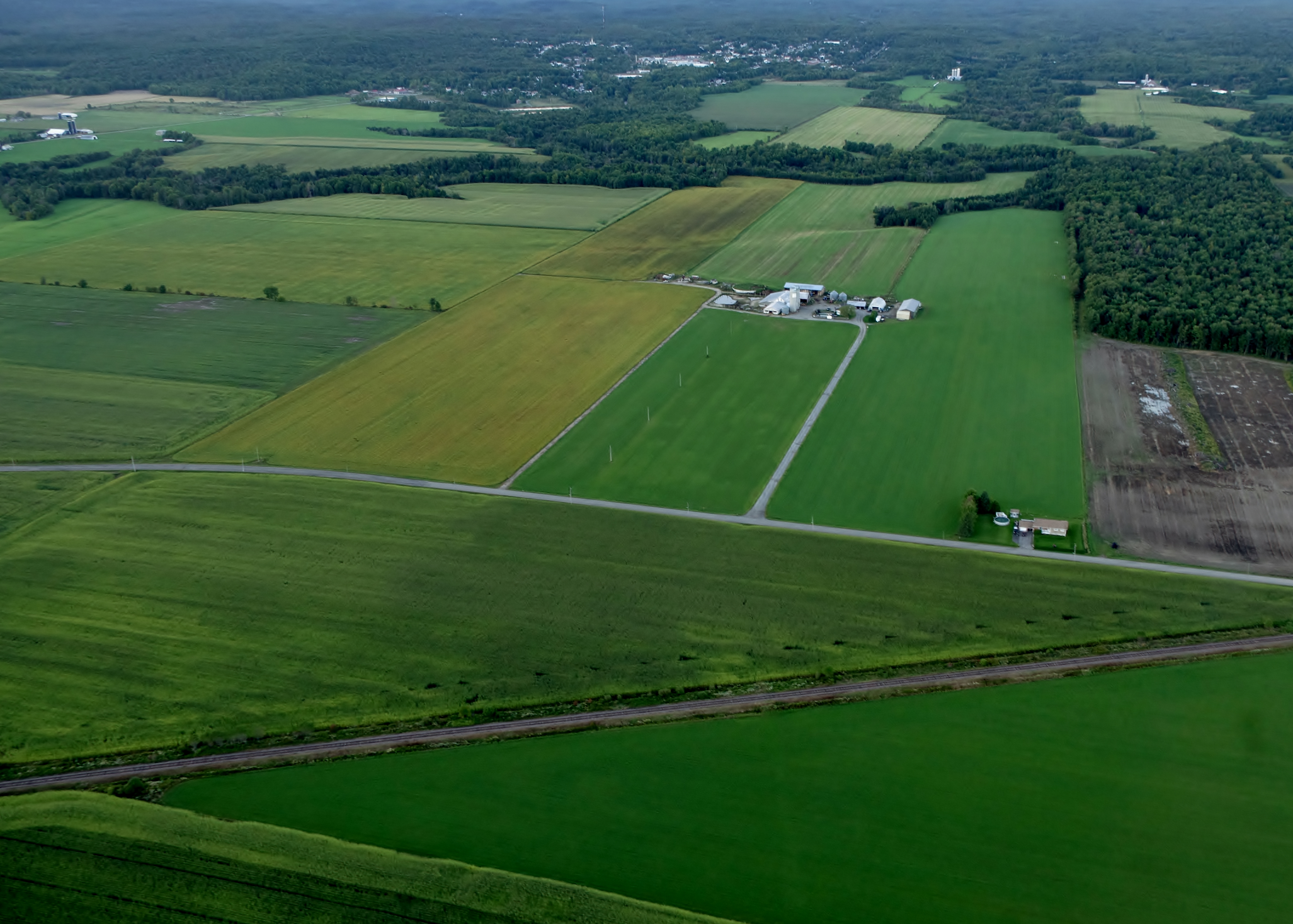
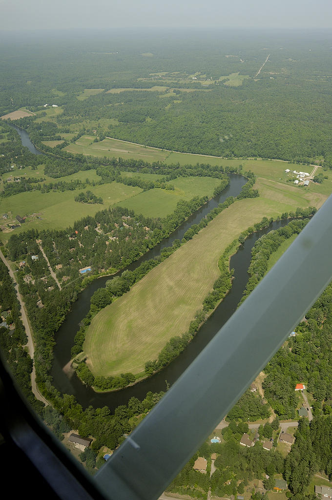
Fields from Above
Lunch with a view part 2

#vscocam #camping

#VSCOcam
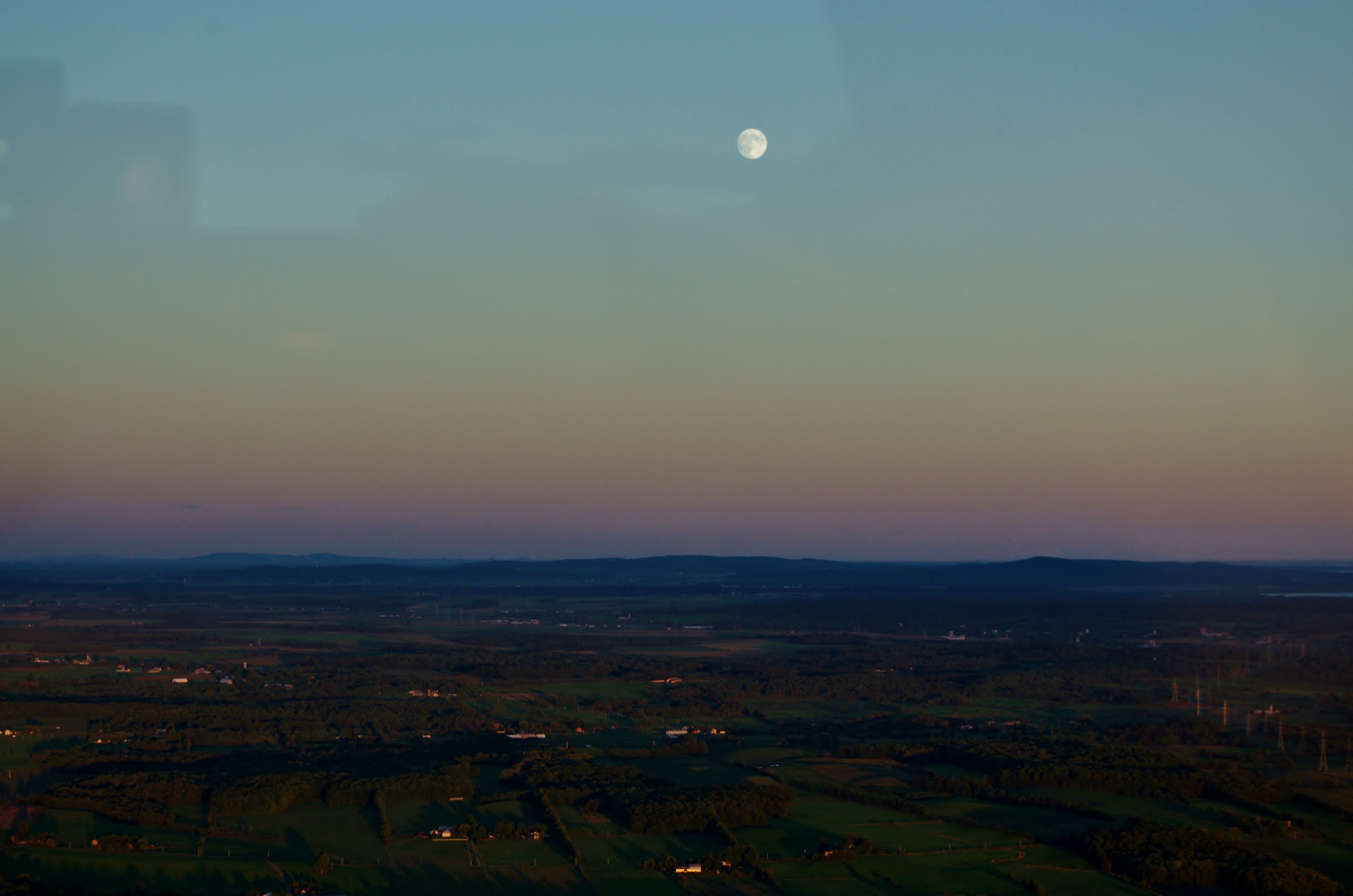
Moon above the land
On a slippery slope
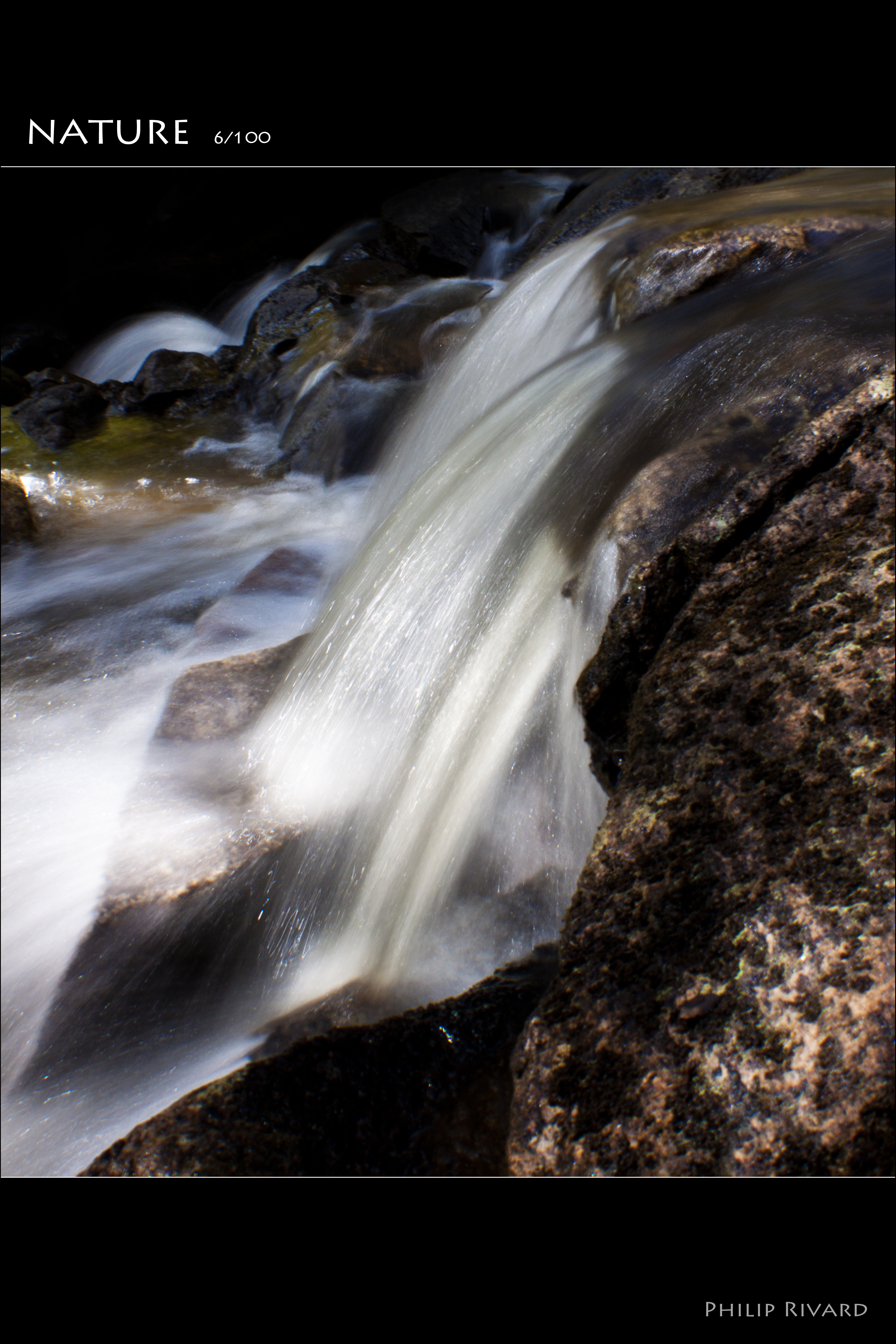
Nature (6 of 100)

Dernière coupe

#VSCOcam

Around Our Site
big tree...

50 East

Beautiful day in November

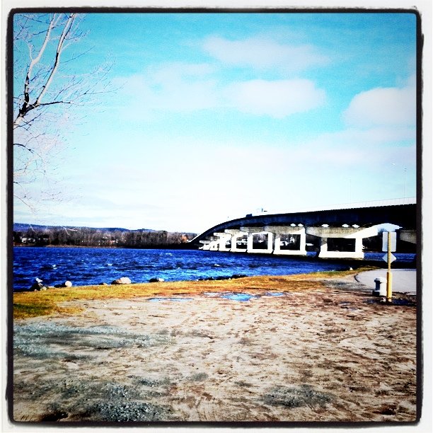
Frozen Ottawa River

#VSCOcam

Moment présent
Wayward Sky #selfportrait #gorillapod
_DSC5516 copy

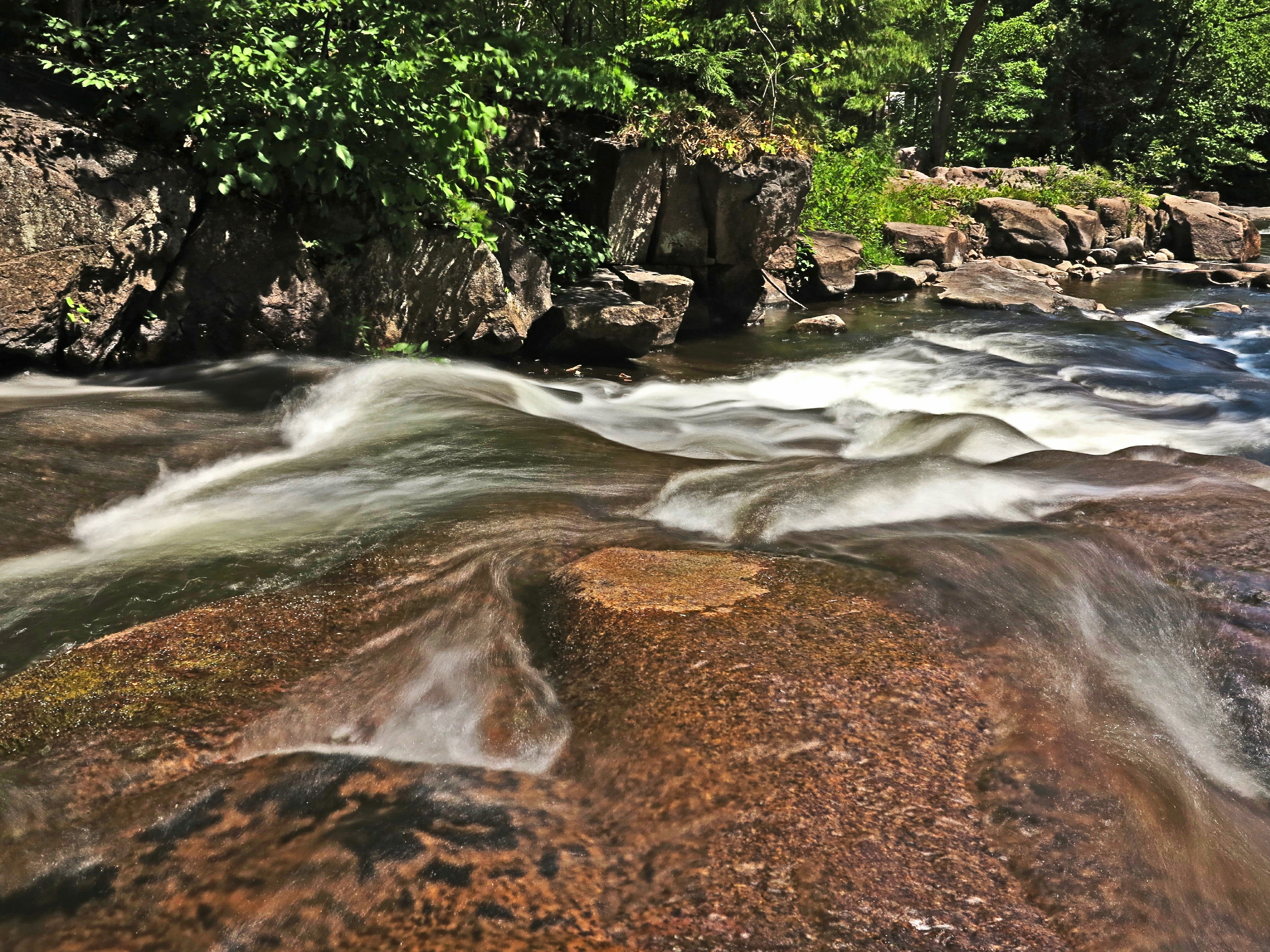
Au travers
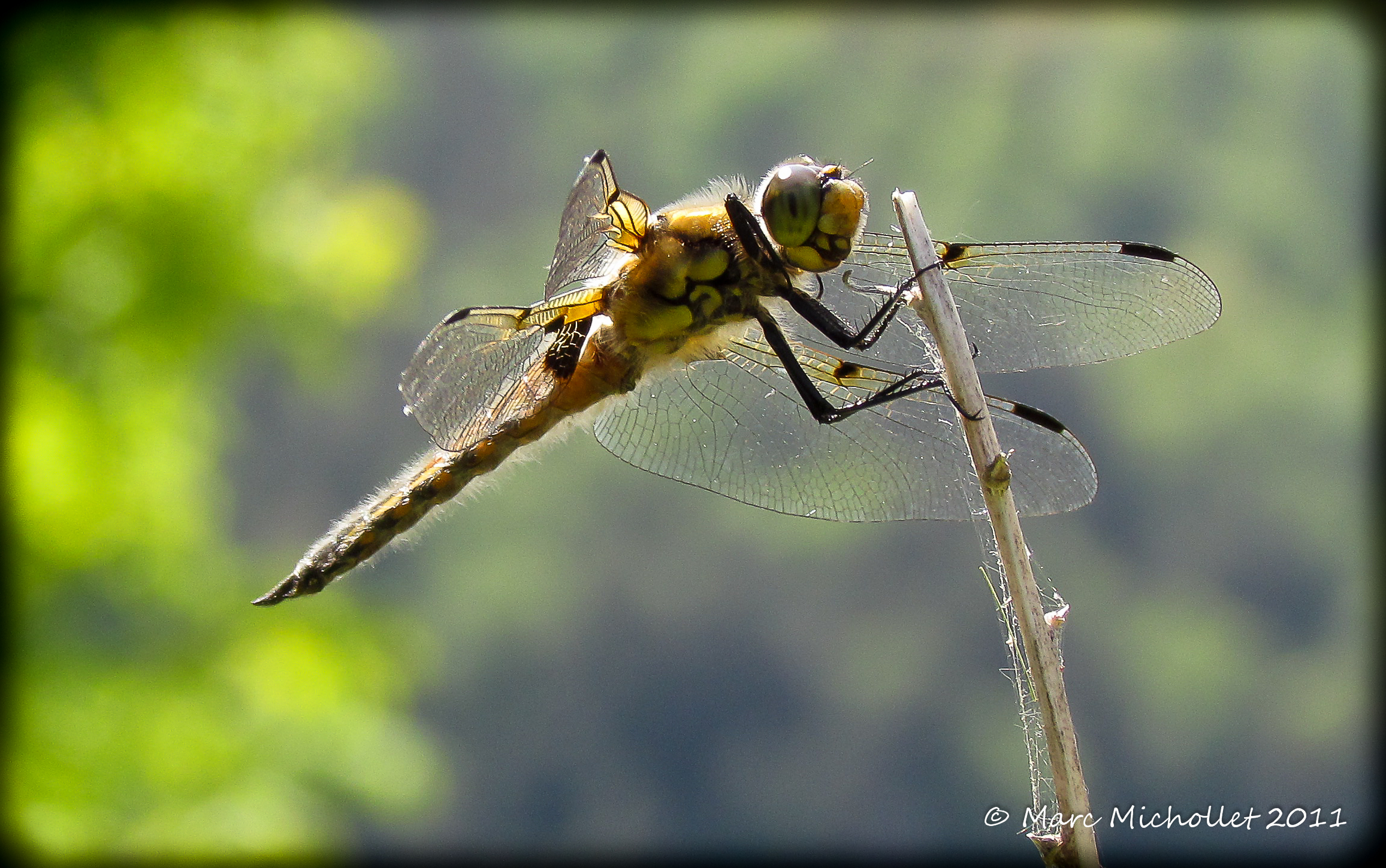
Libéllule
Rivière-du-Nord River, Lachute & Mirabel DSC_1309m
Topographic Map of Brownsburg, QC, Canada
Find elevation by address:

Places in Brownsburg, QC, Canada:
Places near Brownsburg, QC, Canada:
292 Rue Du Couvent
Brownsburg-chatham
38 Chemin De Dalesville S
Garage Prud'homme Inc.
800 Chemin De La Carrière
626 Rte Des Outaouais
110 Chemin Keith-low
110 Chemin Keith-low
Argenteuil Regional County Municipality
Chute-à-blondeau
180 Rue Du Grenoble
180 Rue Du Grenoble
26 Chemin De La Forêt
Rue Bigras
Lac Crooks
102 Ch Du Ruisseau
Chemin Mario
J8g 1x9
Lachute
396 Rue Bédard
Recent Searches:
- Elevation of Warwick, RI, USA
- Elevation of Fern Rd, Whitmore, CA, USA
- Elevation of 62 Abbey St, Marshfield, MA, USA
- Elevation of Fernwood, Bradenton, FL, USA
- Elevation of Felindre, Swansea SA5 7LU, UK
- Elevation of Leyte Industrial Development Estate, Isabel, Leyte, Philippines
- Elevation of W Granada St, Tampa, FL, USA
- Elevation of Pykes Down, Ivybridge PL21 0BY, UK
- Elevation of Jalan Senandin, Lutong, Miri, Sarawak, Malaysia
- Elevation of Bilohirs'k