Elevation of Route de Planaise, La Bâtie-Divisin, France
Location: France > Isere > La Bâtie-divisin >
Longitude: 5.6075592
Latitude: 45.5262001
Elevation: 422m / 1385feet
Barometric Pressure: 96KPa
Elevation Map:
Satellite Map:
Related Photos:
Holocaust-Gedenktag
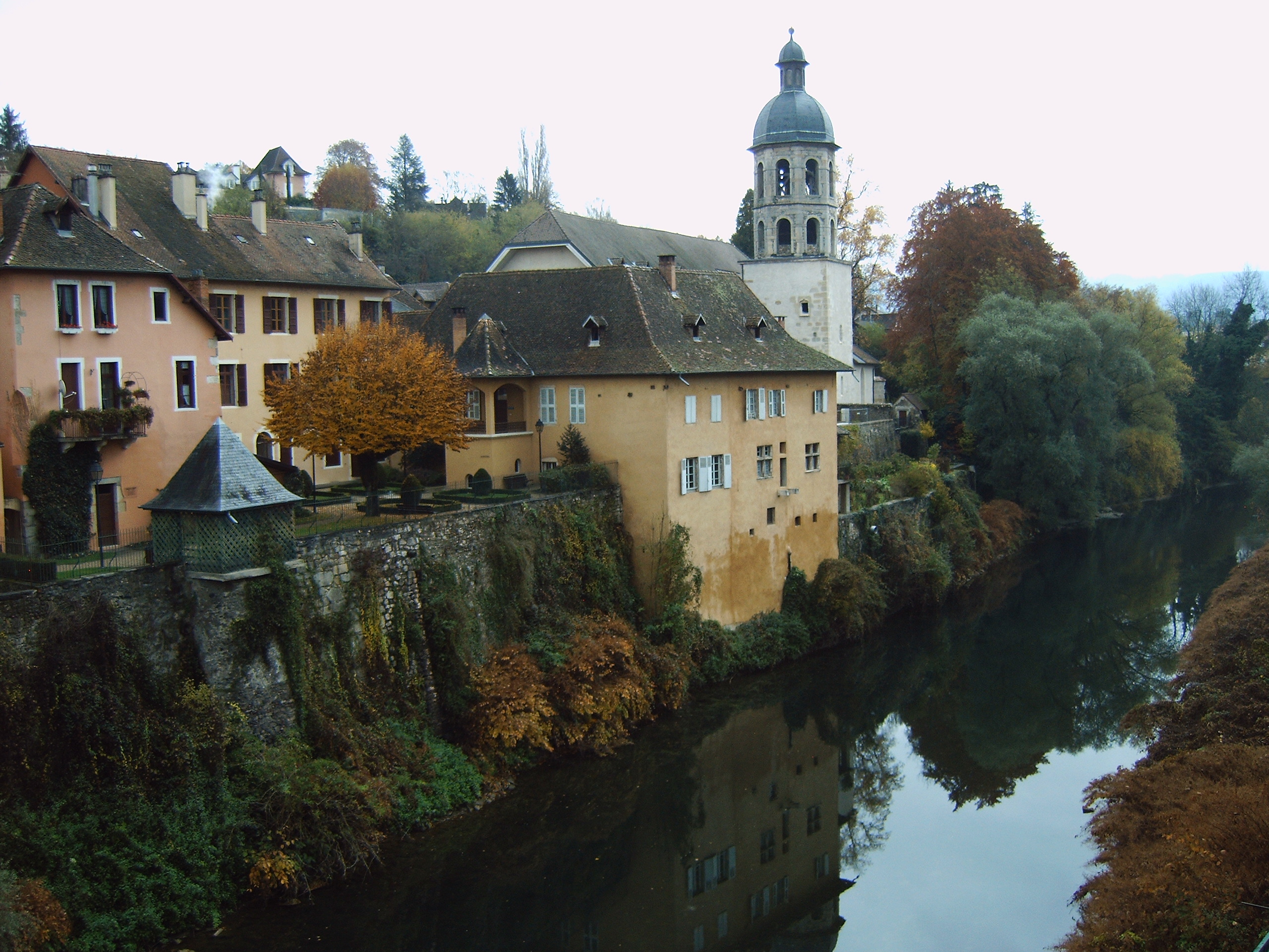
Pont-de-Beauvoisin (France)
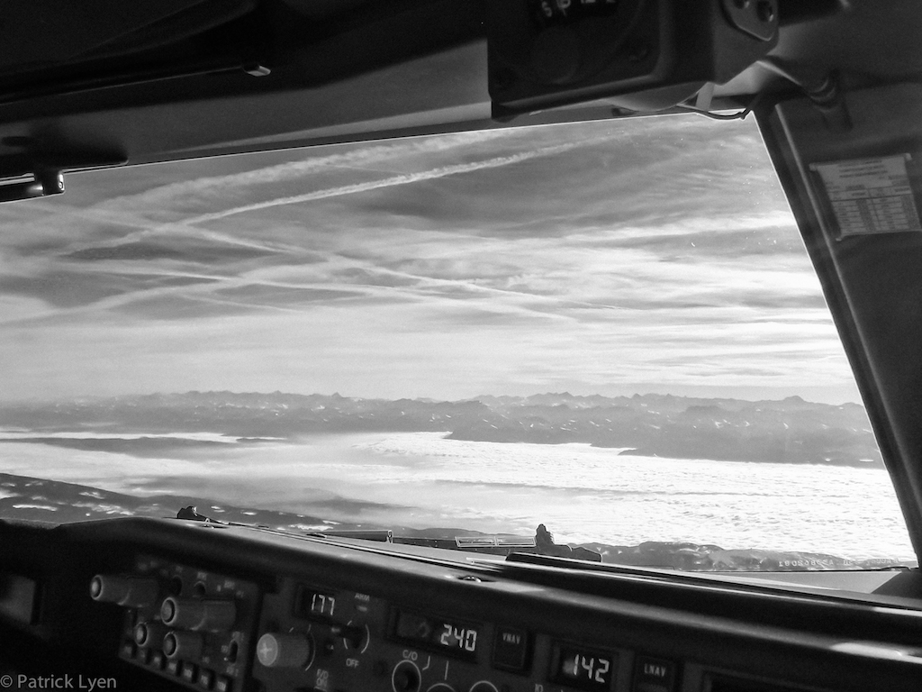
On approach to Chambery, France (Boeing 737 Cockpit)
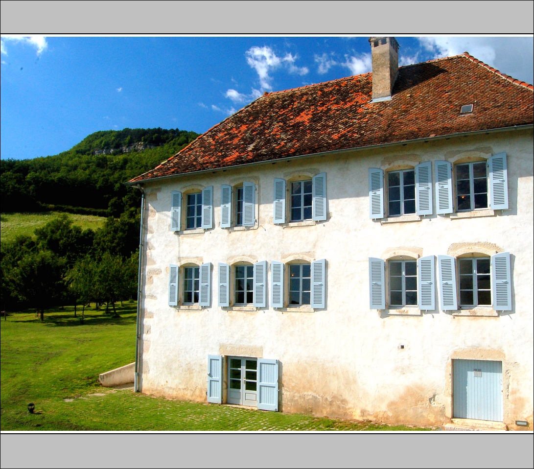
Virieu view
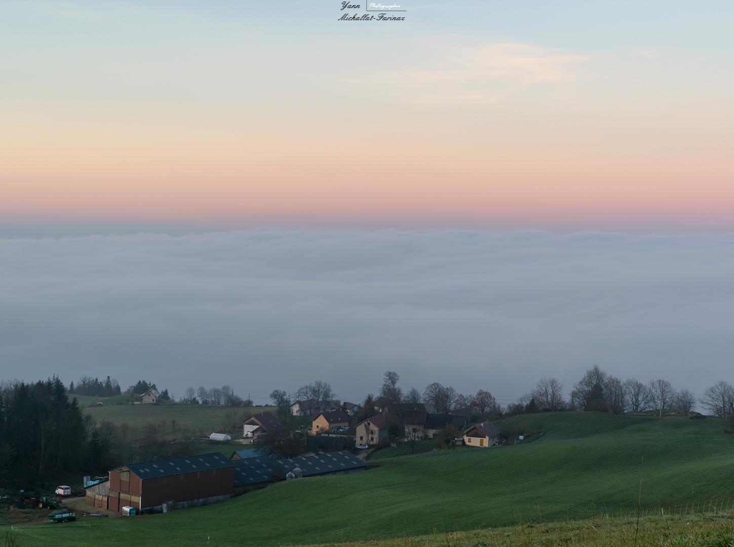
The hamlet over the clouds
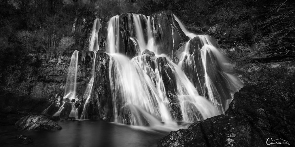
Cascade de Glandieu - Ain - France
Land Art

cascade de Glandieu
Carte géographique - Map-3.jpg
Cathédrale de calcaire
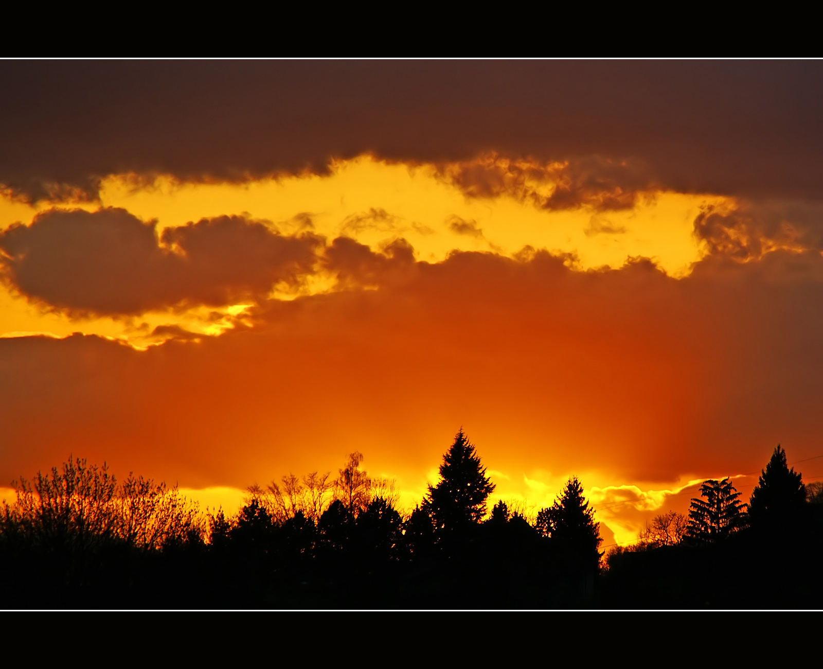
Burning sunset
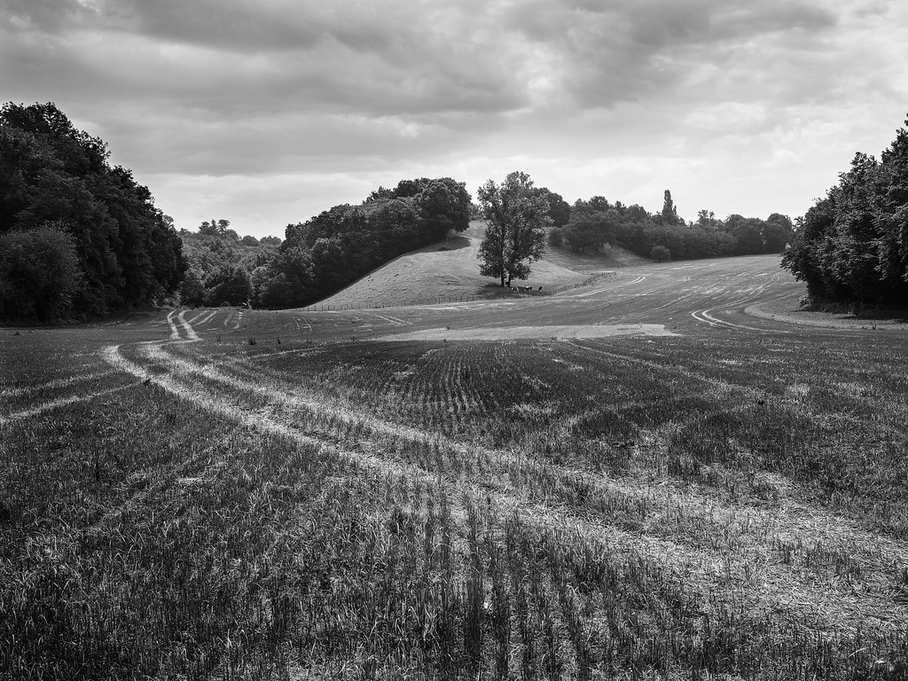
20130815 07 148 Jakobus Weg Weite Feld Wiese Häuser Sonne_P01

Voiles aquatiques

Maisons au bord du lac d'Aiguebelette
The twin trees
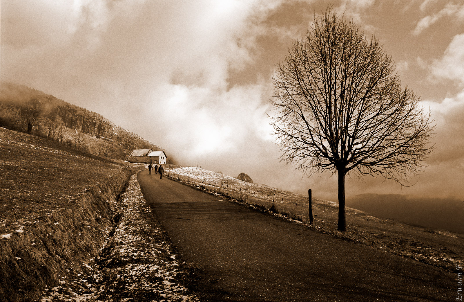
Balade en sépia

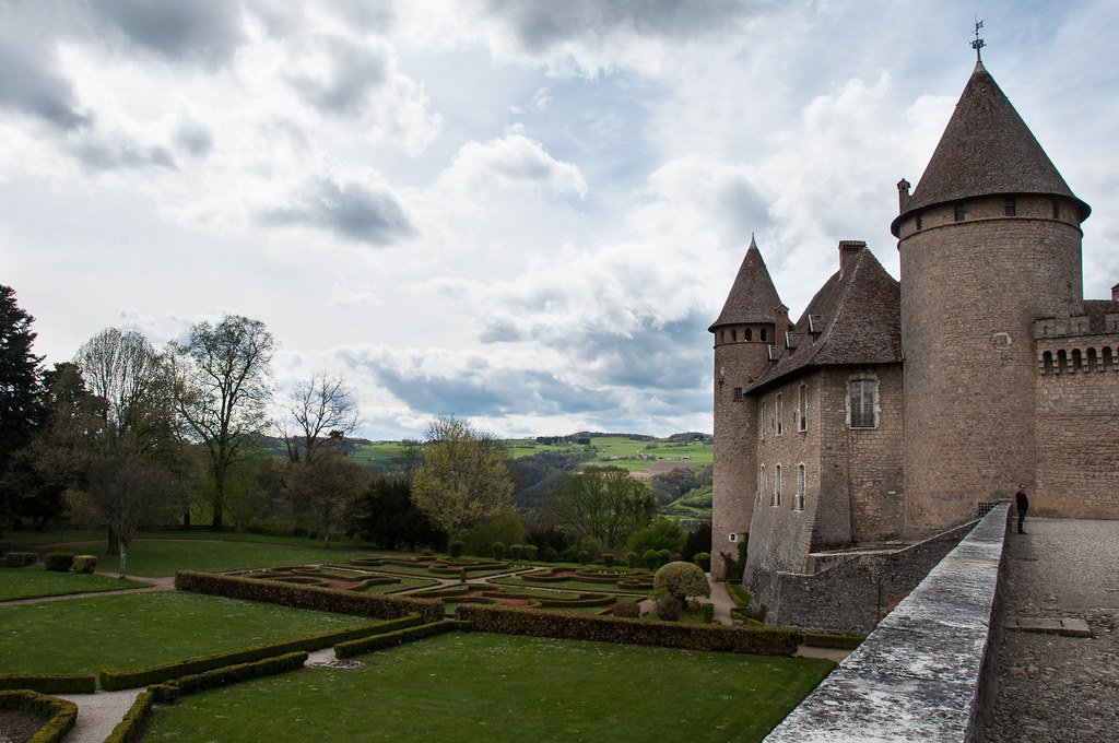
VVV - Vert Vu (du château de) Virieu ~ Green
Behind the trees
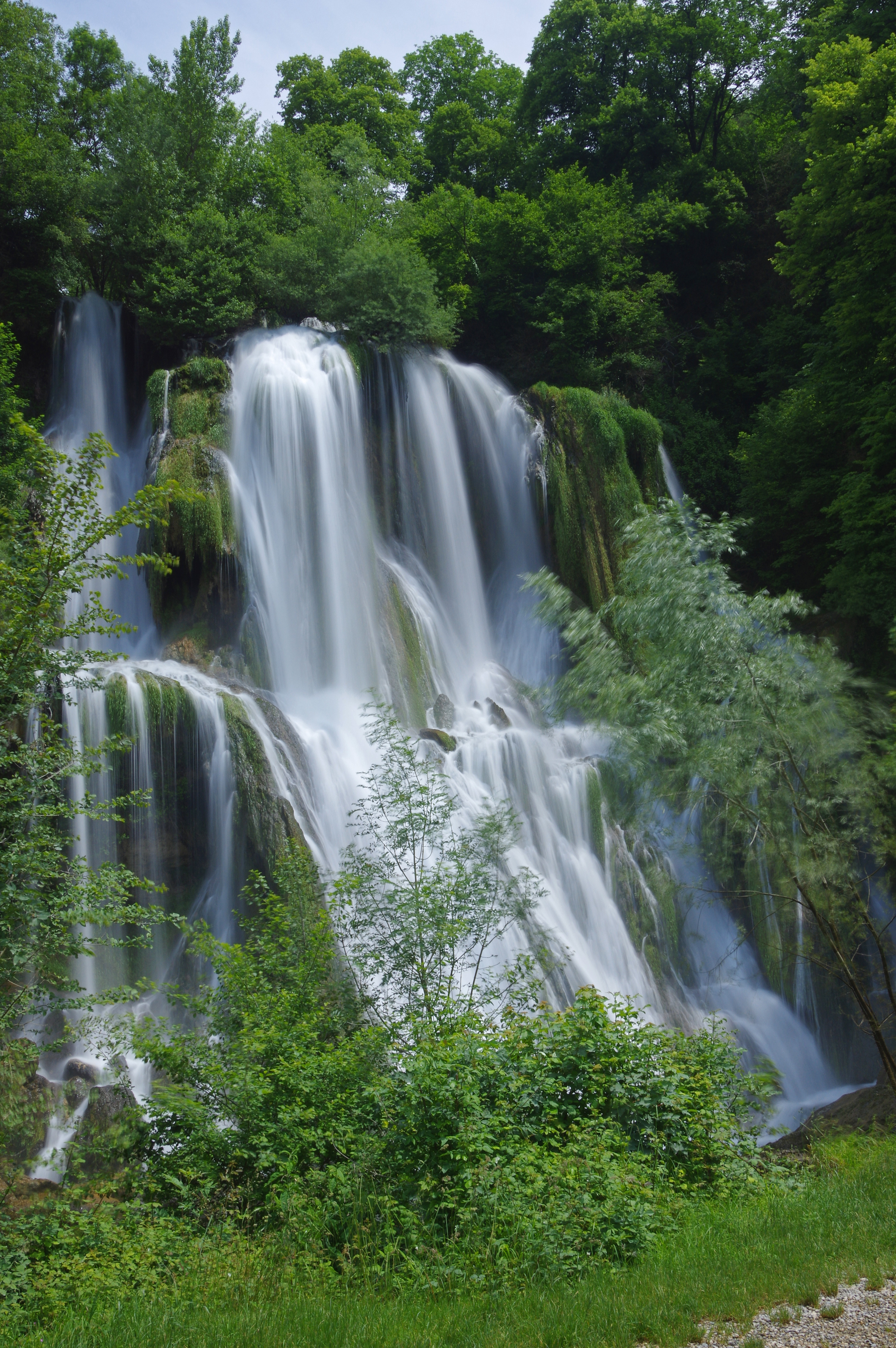
Cascade de Glandieu (Ain)
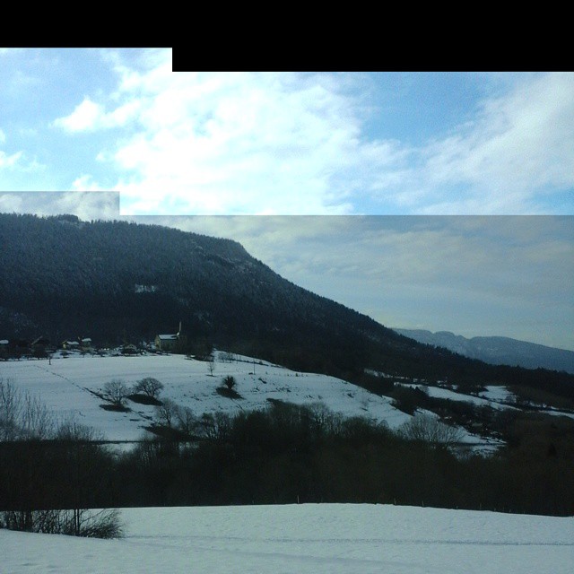
Éviter les bouchons #neigeunpeuquaandmême #onsaitparoùpasser #tantpispourlestouristes
Carte géographique - Map.jpg
20130815 07 151 Jakobus Bäume Licht Bogen_01b
20130816 08 020 Jakobus Berg Wald Wiese

Walking around Dullin in Savoie, France. / Caminando por Dullin en Saboya, Francia.
France - Blaune (Rhône-Alpes)

20130816 08 023 Jakobus Berg Wald Wiese Wolken_P01
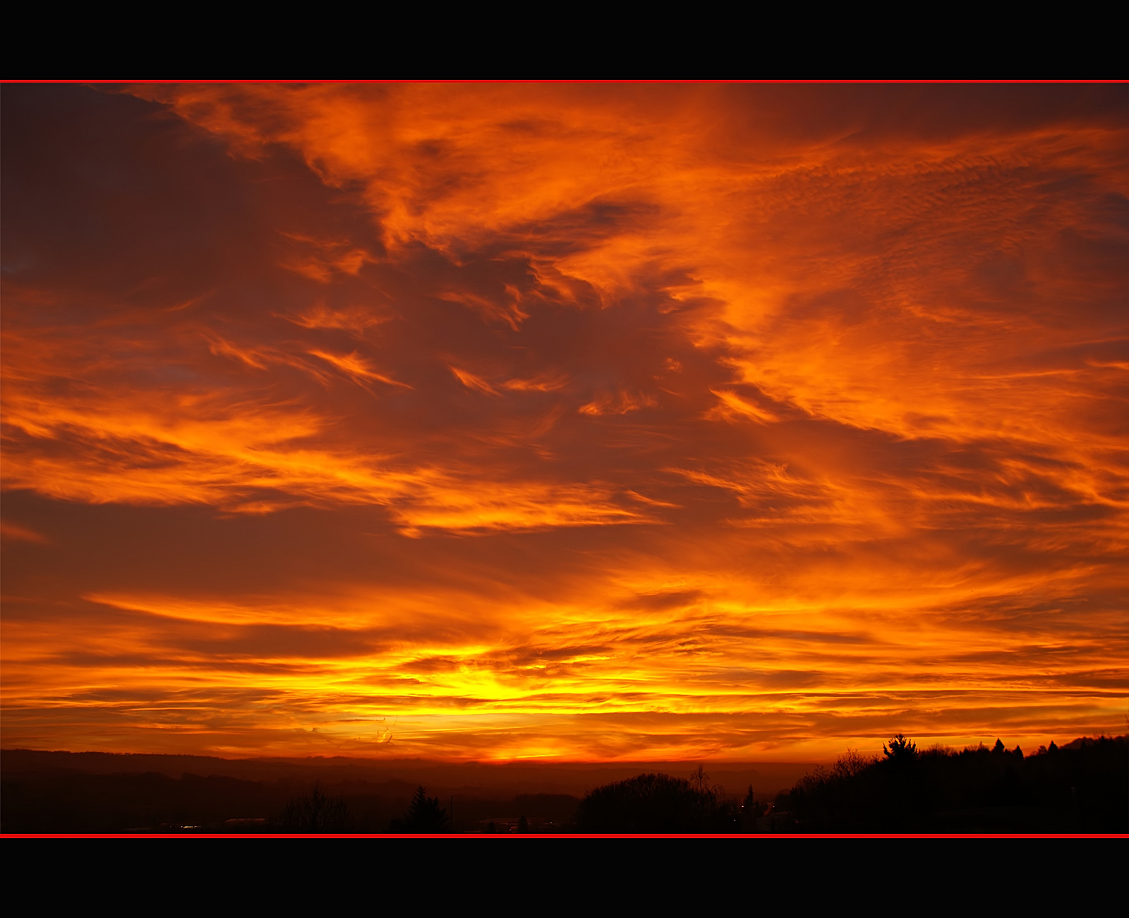
Fire in the sky
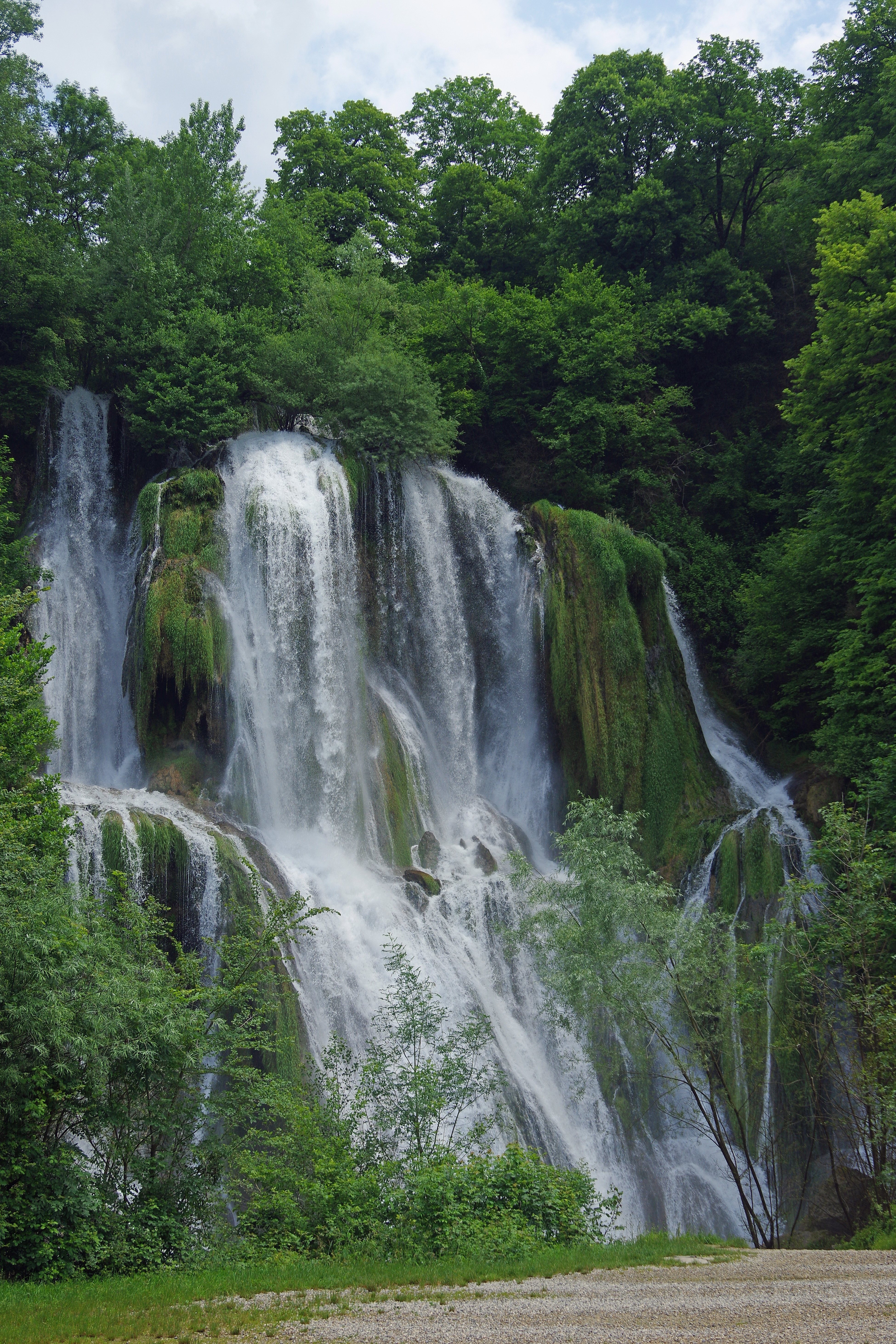
Cascade de Glandieu (Ain)
Topographic Map of Route de Planaise, La Bâtie-Divisin, France
Find elevation by address:

Places near Route de Planaise, La Bâtie-Divisin, France:
La Bâtie-divisin
3 Rue du Ctre, Chimilin, France
Valencogne
63 Chemin de Brezin, Valencogne, France
Le Passage
47 Chemin du Villard, Le Passage, France
Chirens
Rue de l'Église, Chélieu, France
Chélieu
75 Avenue du Stade, Saint-Clair-de-la-Tour, France
Saint-clair-de-la-tour
Chemin de Bouis, Doissin, France
Route des Lavoirs, Vézeronce-Curtin, France
La Tour-du-pin
22 Rue Gilbert Coquaz, La Tour-du-Pin, France
Vézeronce-curtin
Doissin
Rochetoirin
Chemin Des Bruches
Route de Modurière, Rochetoirin, France
Recent Searches:
- Elevation of Royal Ontario Museum, Queens Park, Toronto, ON M5S 2C6, Canada
- Elevation of Groblershoop, South Africa
- Elevation of Power Generation Enterprises | Industrial Diesel Generators, Oak Ave, Canyon Country, CA, USA
- Elevation of Chesaw Rd, Oroville, WA, USA
- Elevation of N, Mt Pleasant, UT, USA
- Elevation of 6 Rue Jules Ferry, Beausoleil, France
- Elevation of Sattva Horizon, 4JC6+G9P, Vinayak Nagar, Kattigenahalli, Bengaluru, Karnataka, India
- Elevation of Great Brook Sports, Gold Star Hwy, Groton, CT, USA
- Elevation of 10 Mountain Laurels Dr, Nashua, NH, USA
- Elevation of 16 Gilboa Ln, Nashua, NH, USA