Elevation of Doissin, France
Location: France > Isere >
Longitude: 5.423603
Latitude: 45.499911
Elevation: 508m / 1667feet
Barometric Pressure: 95KPa
Elevation Map:
Satellite Map:
Related Photos:
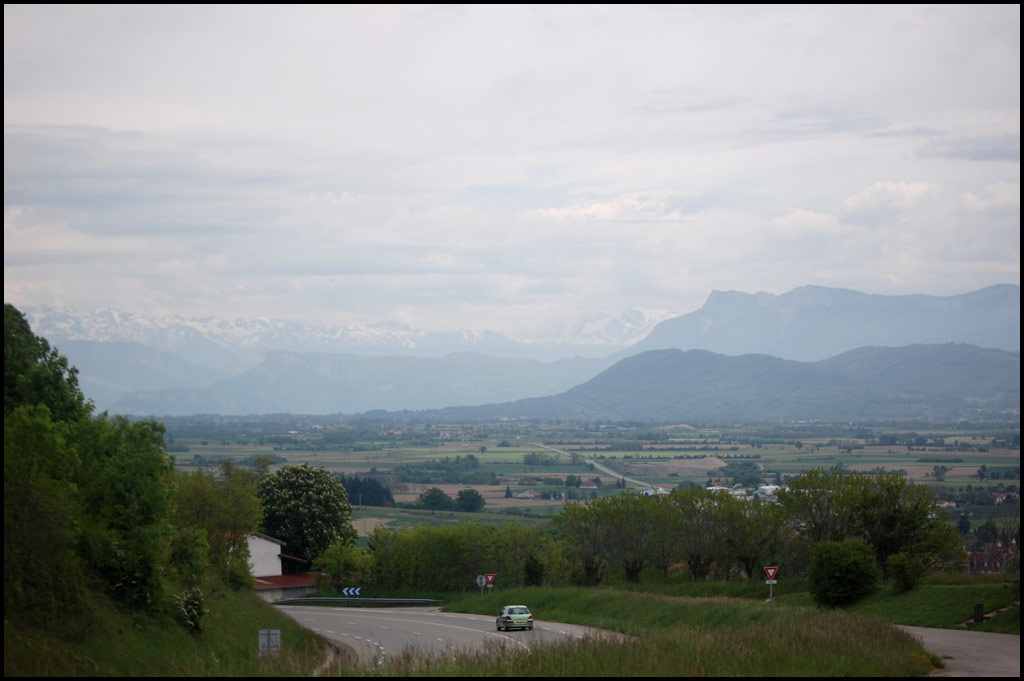
210 - Lyon-Grenoble - First mountain view
Virieu view
Land Art

La Frette
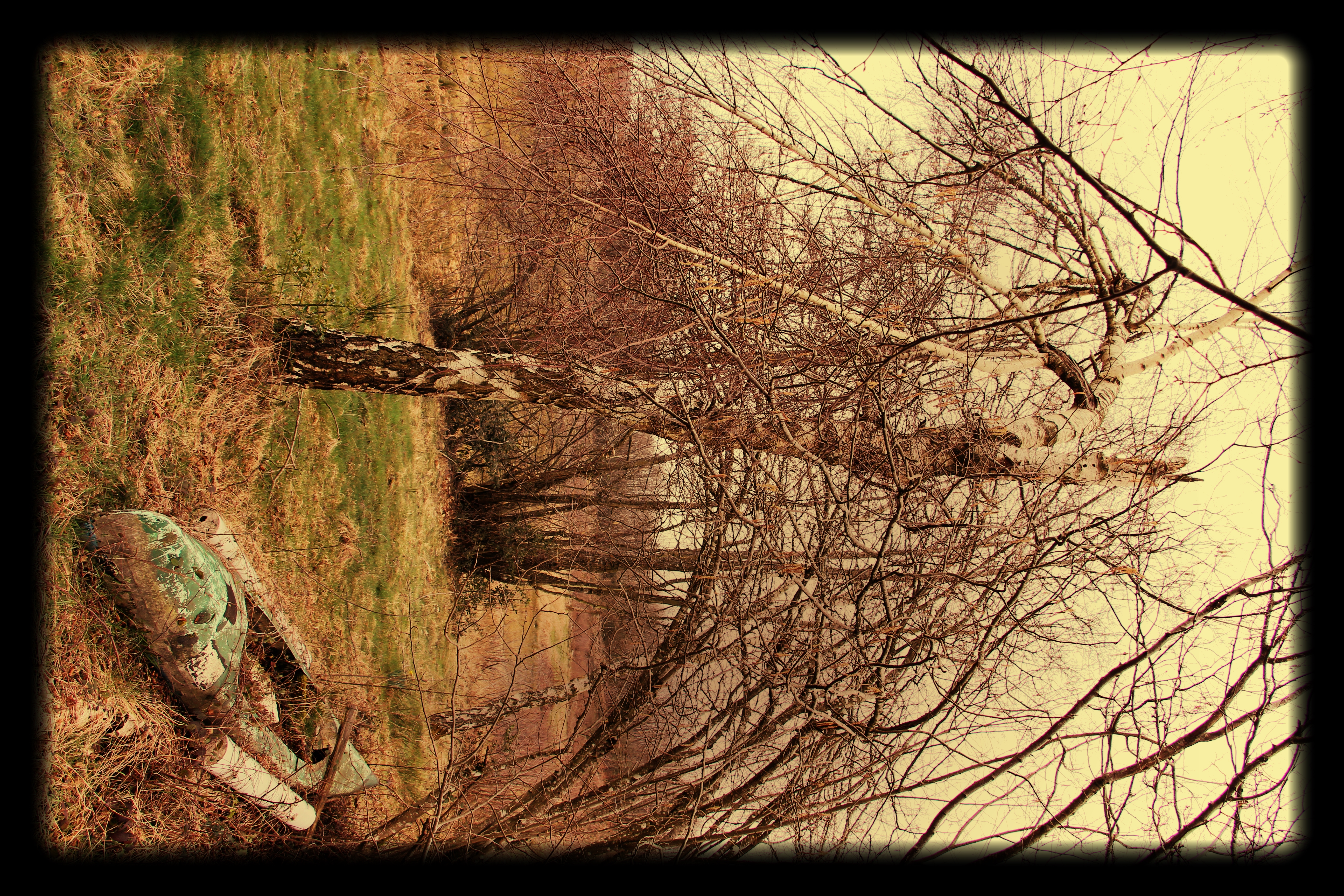
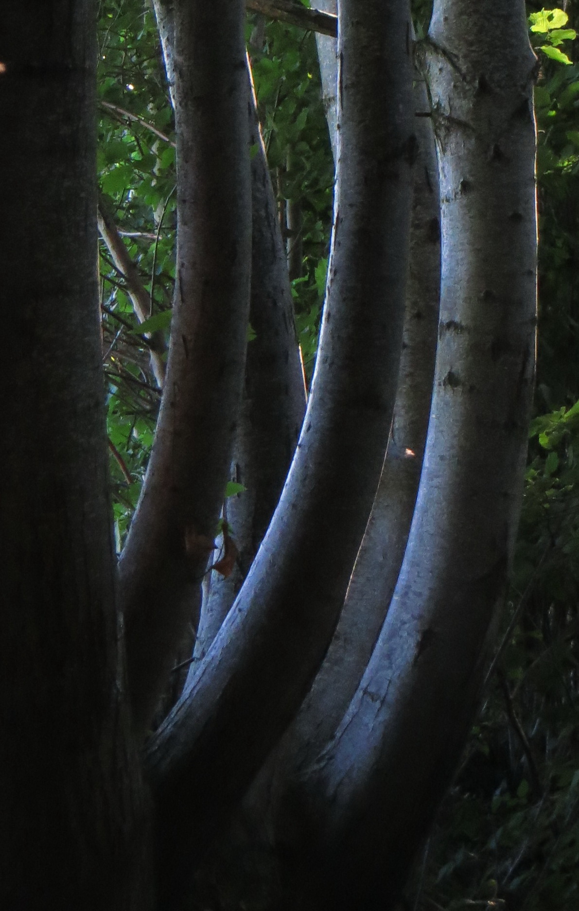
The twin trees

Chatonnay Isère

VVV - Vert Vu (du château de) Virieu ~ Green
Behind the trees
Berge étang Riz-blanc Nantoin

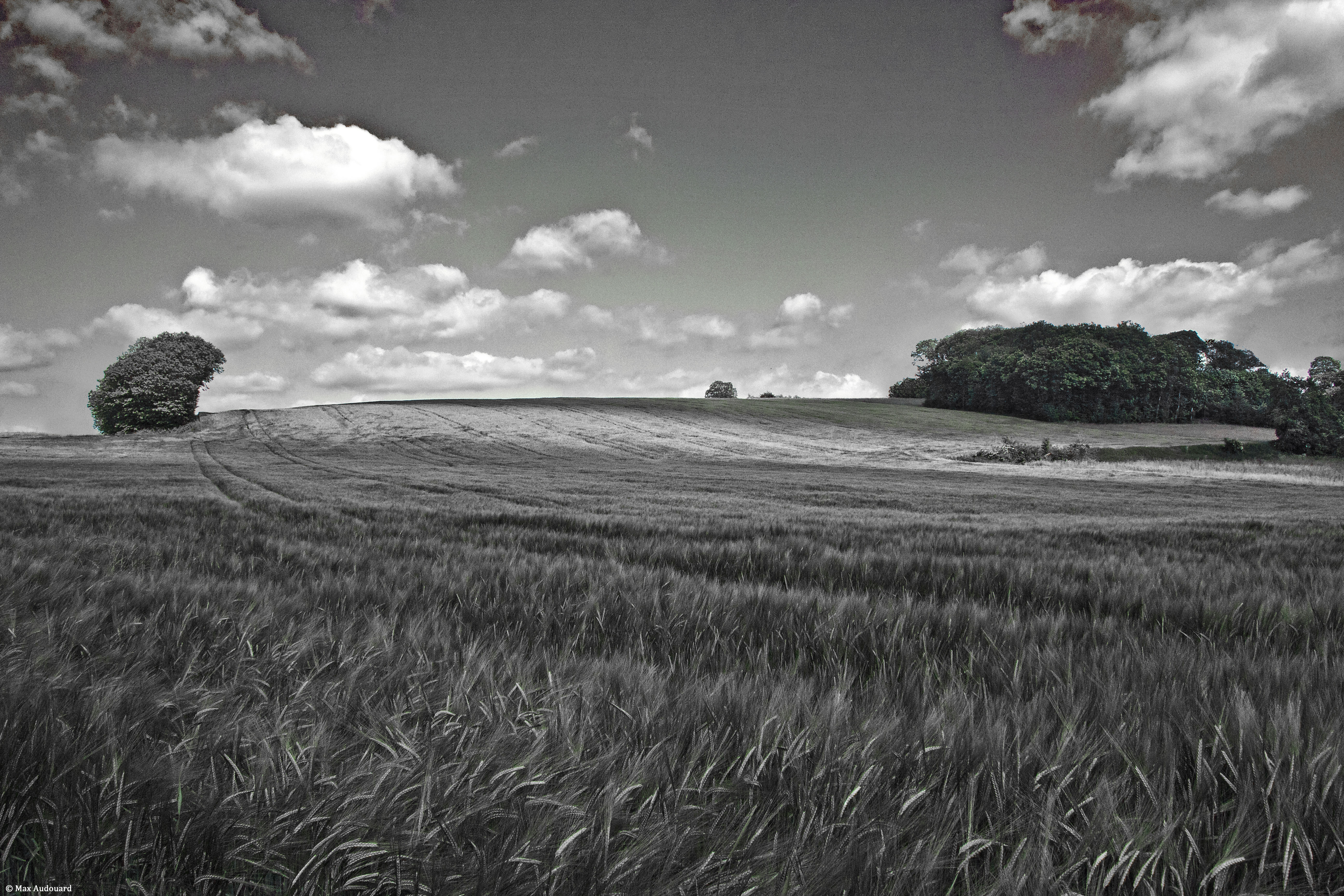
Il n'y a pas de lumière sans ombres. Aragon
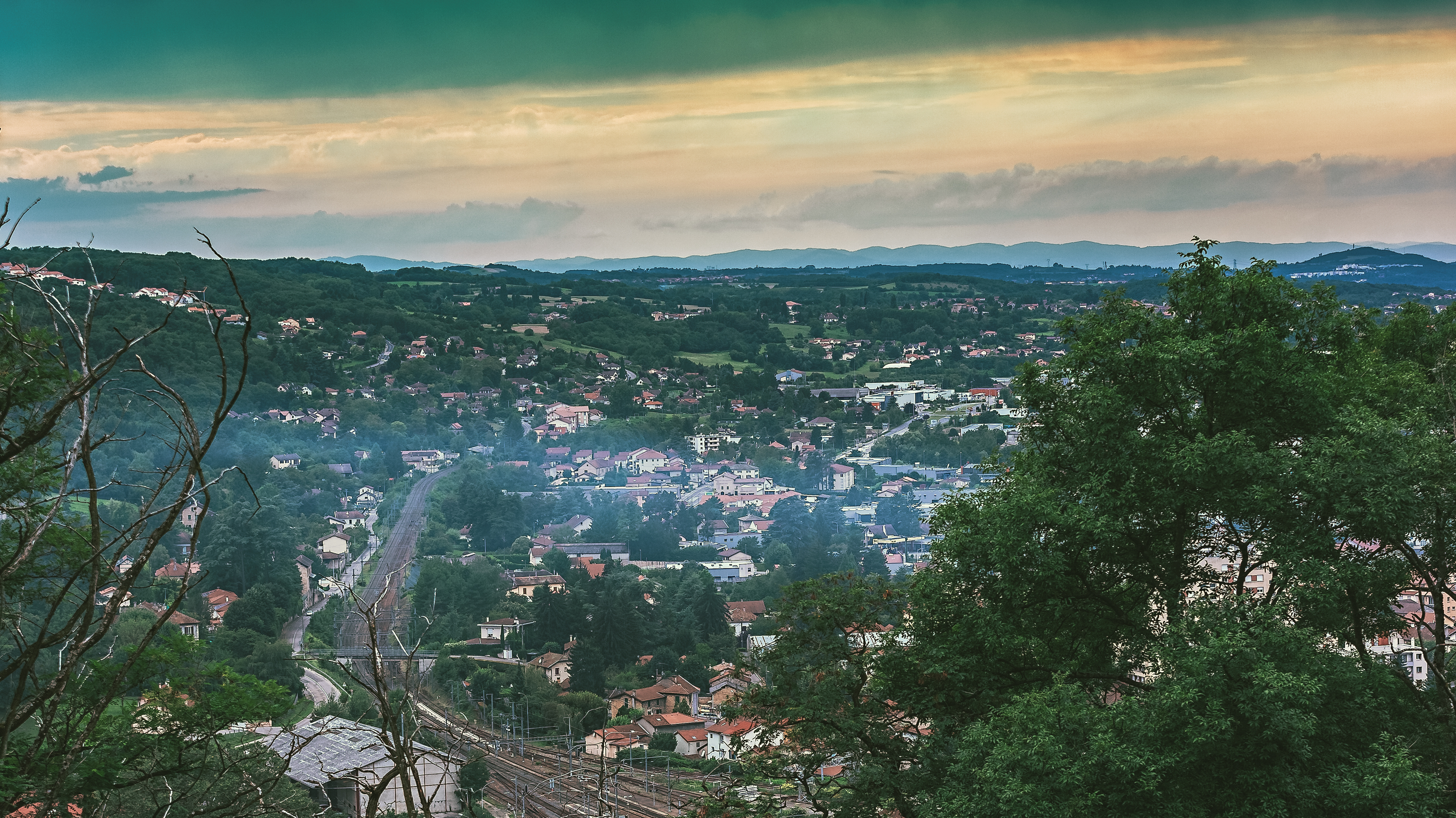
Ambiance Pluvieuse sur Bourgoin-Jallieu - France - Isère
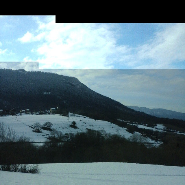
Éviter les bouchons #neigeunpeuquaandmême #onsaitparoùpasser #tantpispourlestouristes
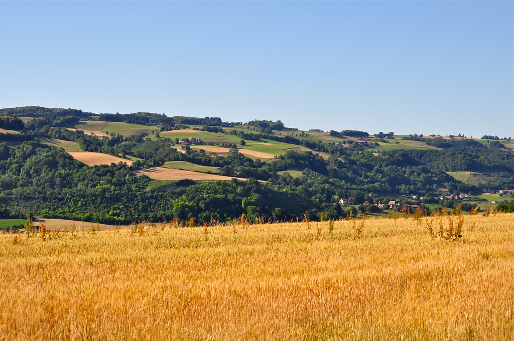
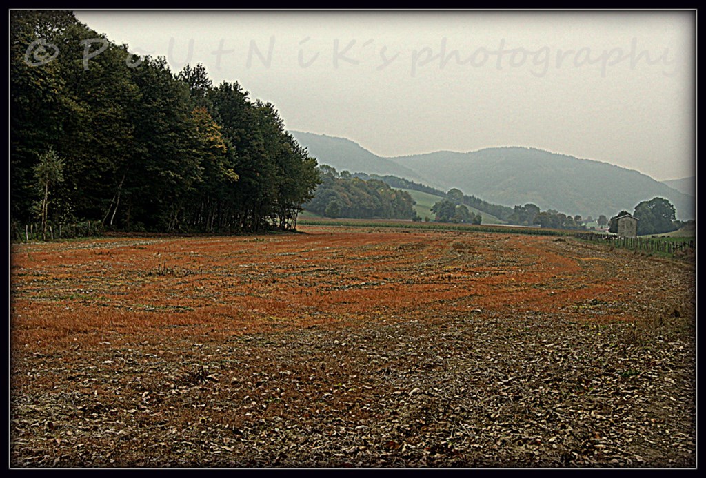
Bientôt la moisson! ~ The harvest, soon!
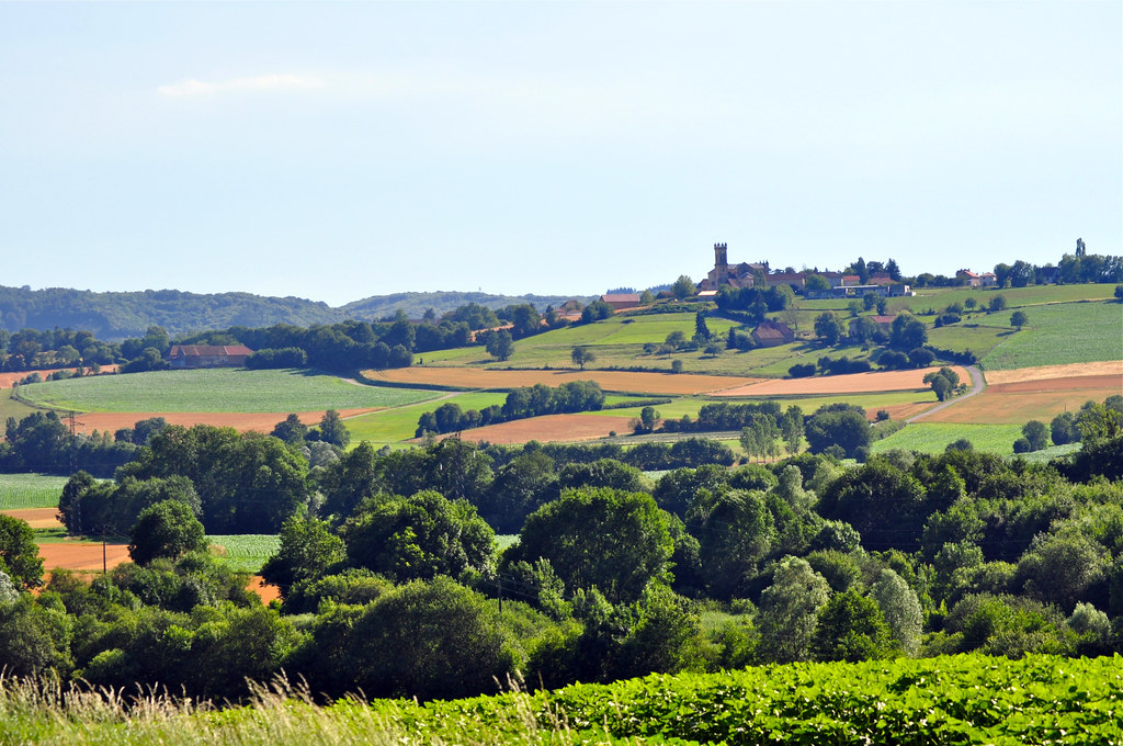
Chabons, village du Dauphiné ~ A village in Dauphiné (France)
Chatonnay Isère
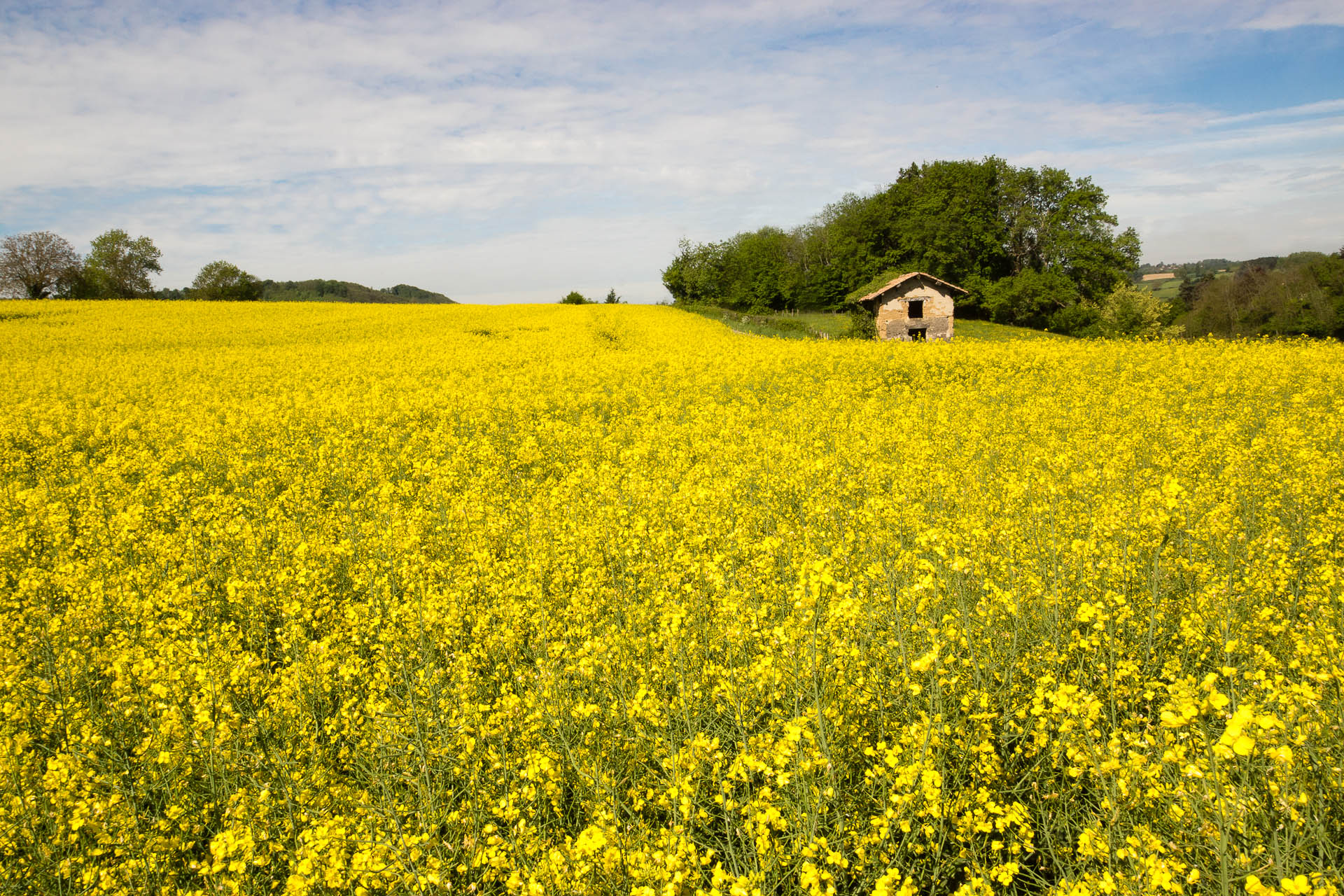
colza-2
20130815 07 151 Jakobus Bäume Licht Bogen_01b

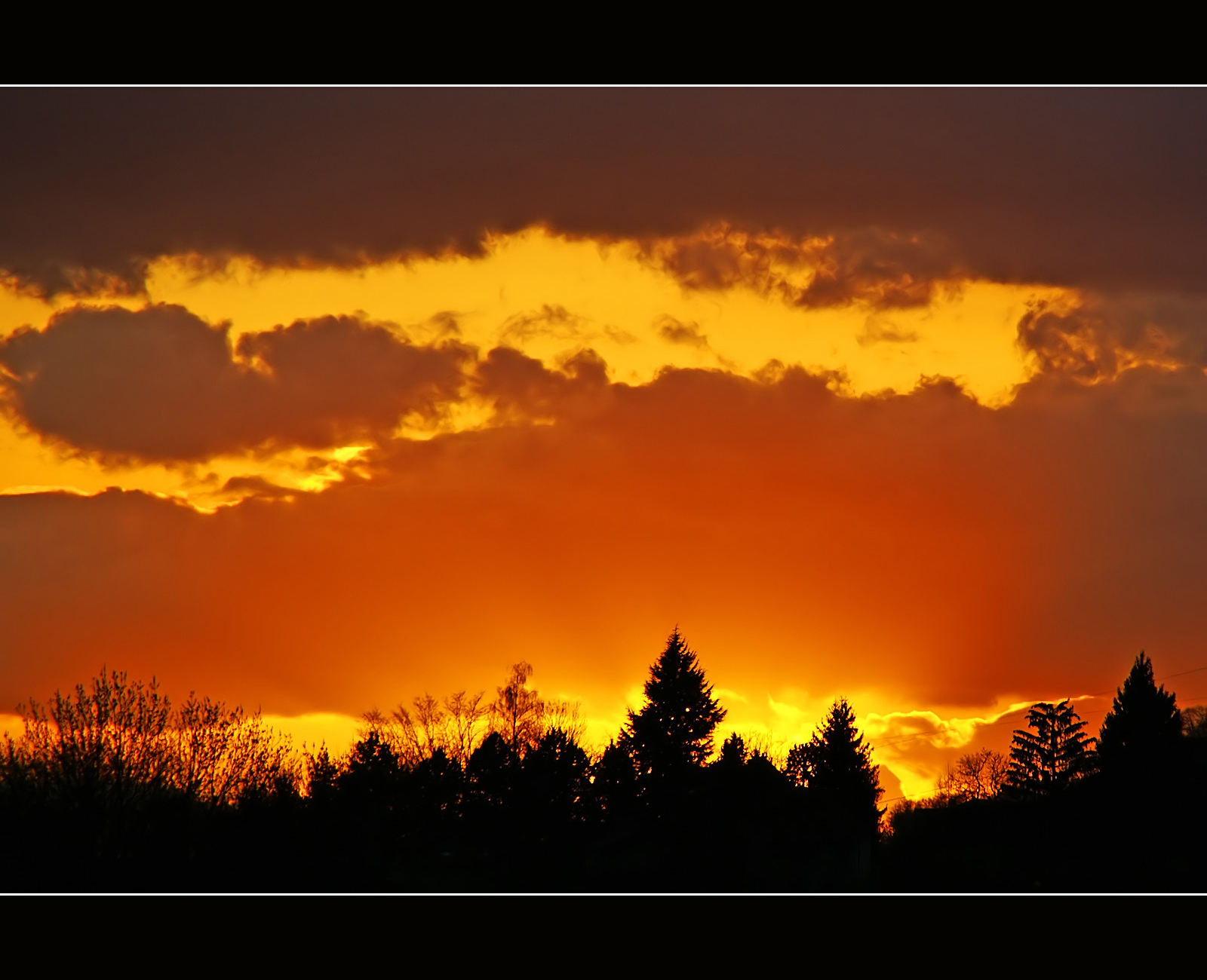
Burning sunset
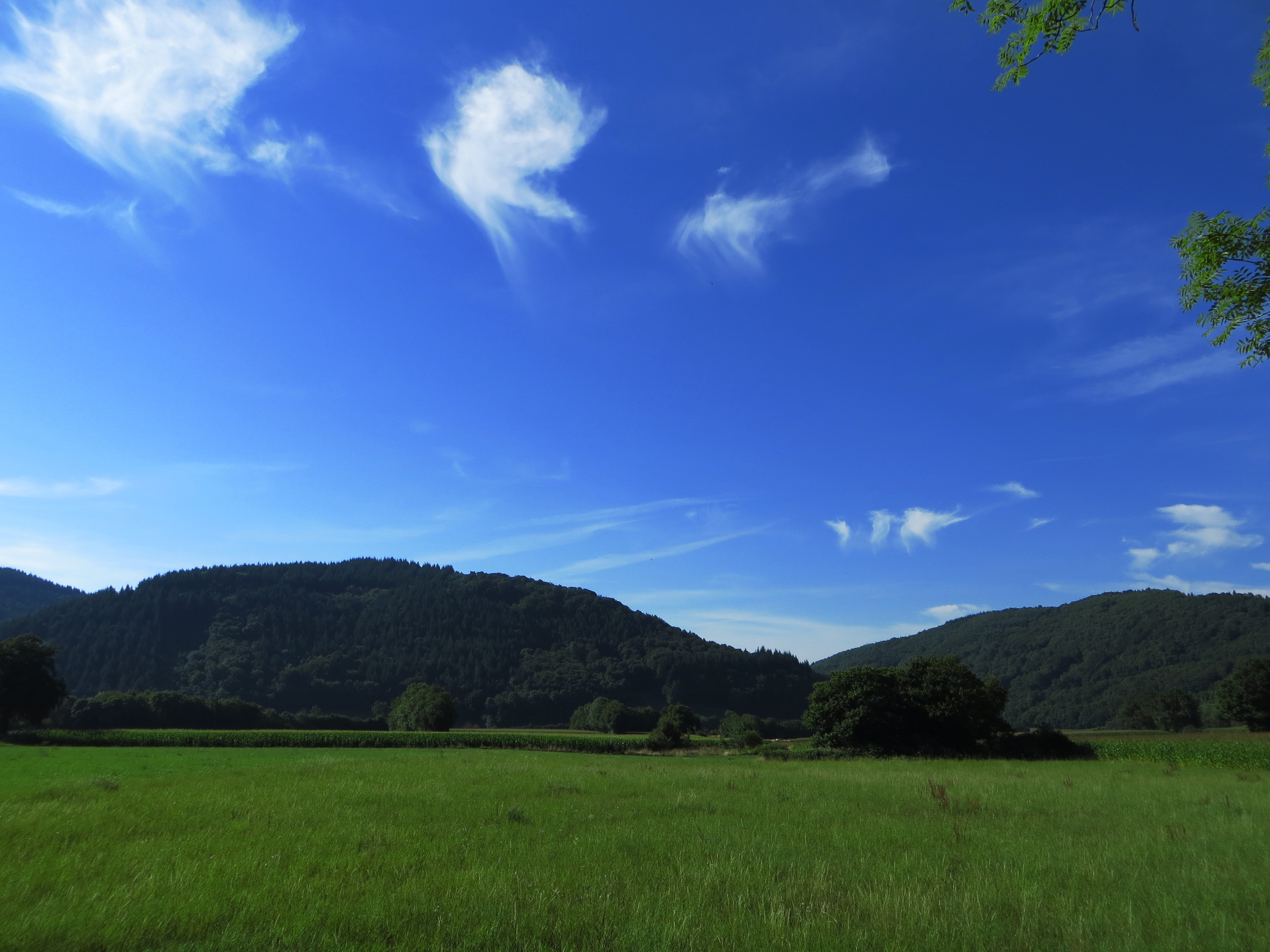
20130816 08 020 Jakobus Berg Wald Wiese
France - Blaune (Rhône-Alpes)

20130816 08 023 Jakobus Berg Wald Wiese Wolken_P01
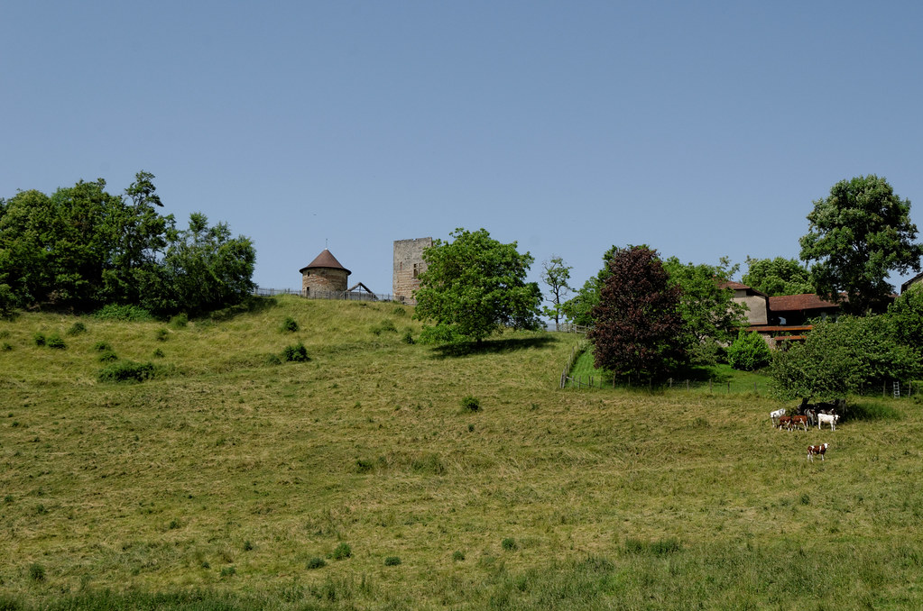
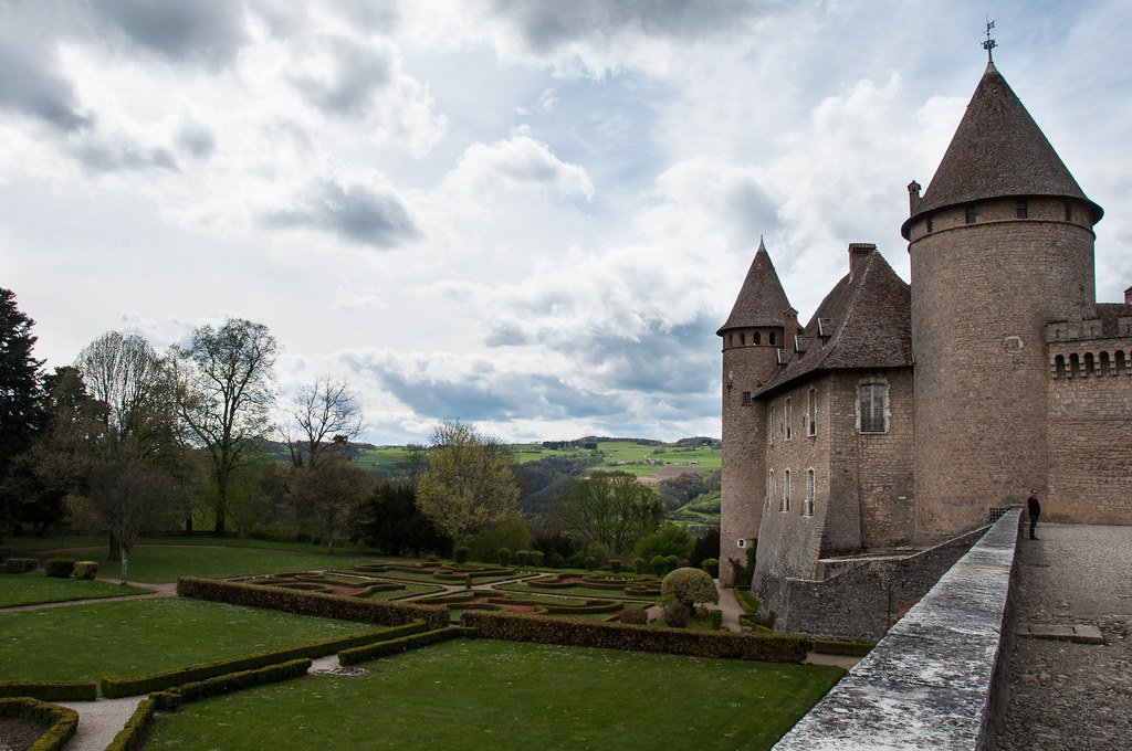
Château de Bocsozel - Le Mottier - Isère
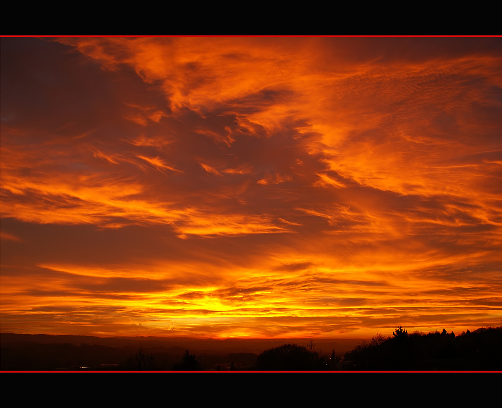
Fire in the sky
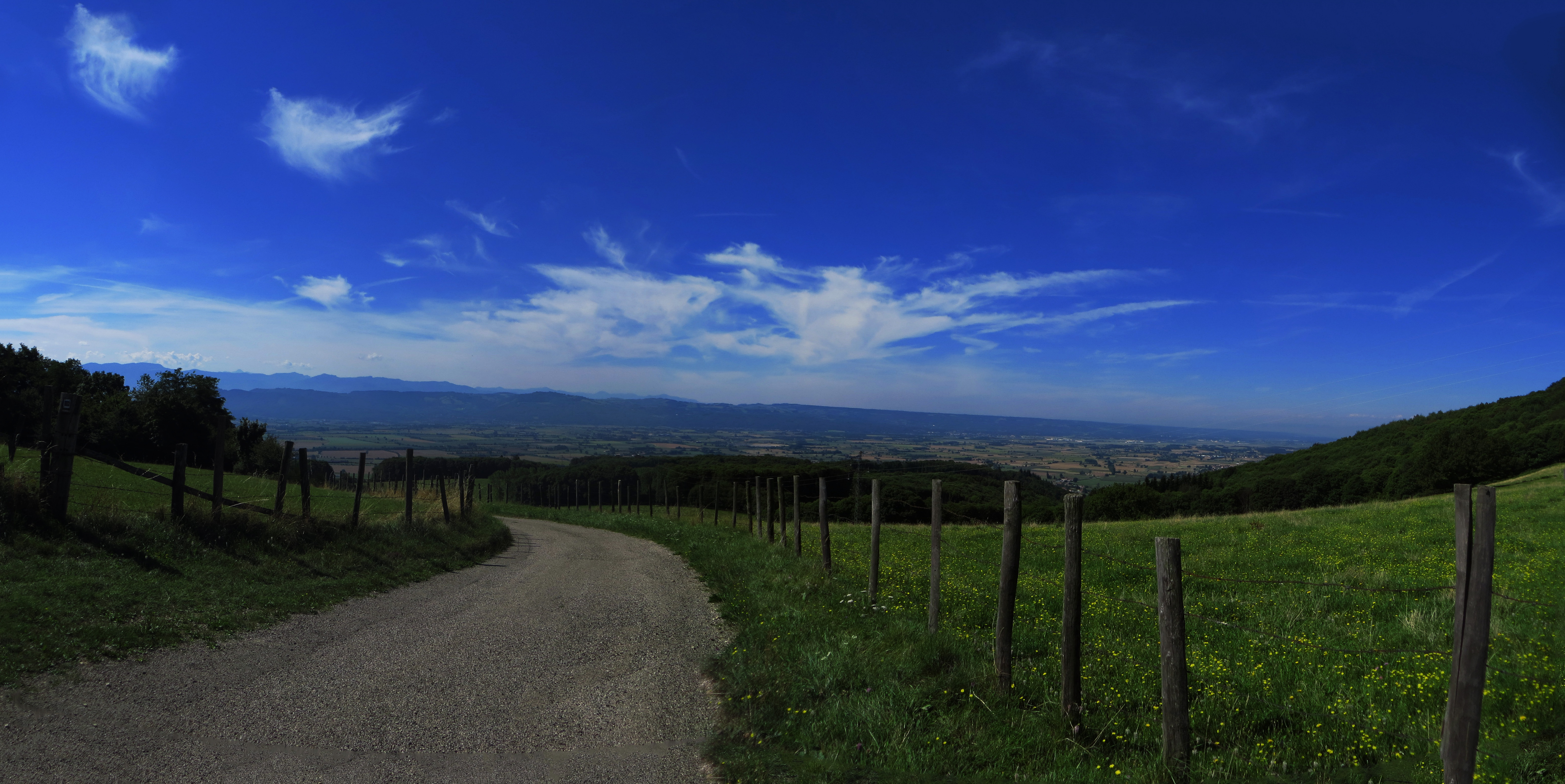
20130816 08 033 Jakobus Wolken Weite Wald Wiese Weg Zaun_P01
Topographic Map of Doissin, France
Find elevation by address:

Places in Doissin, France:
Places near Doissin, France:
Montrevel
Chemin de Bouis, Doissin, France
3 Chemin de la Lucardière, Montrevel, France
Chemin Des Bruches
6 Chemin de Guillermont, Saint-Victor-de-Cessieu, France
Saint-victor-de-cessieu
Chélieu
Rue de l'Église, Chélieu, France
La Tour-du-pin
22 Rue Gilbert Coquaz, La Tour-du-Pin, France
10 Le Charnier, Succieu, France
Rochetoirin
Succieu
47 Chemin du Villard, Le Passage, France
Saint-clair-de-la-tour
75 Avenue du Stade, Saint-Clair-de-la-Tour, France
Le Passage
Route de Modurière, Rochetoirin, France
63 Chemin de Brezin, Valencogne, France
10 Route de Châtonnay, Ruy, France
Recent Searches:
- Elevation of Felindre, Swansea SA5 7LU, UK
- Elevation of Leyte Industrial Development Estate, Isabel, Leyte, Philippines
- Elevation of W Granada St, Tampa, FL, USA
- Elevation of Pykes Down, Ivybridge PL21 0BY, UK
- Elevation of Jalan Senandin, Lutong, Miri, Sarawak, Malaysia
- Elevation of Bilohirs'k
- Elevation of 30 Oak Lawn Dr, Barkhamsted, CT, USA
- Elevation of Luther Road, Luther Rd, Auburn, CA, USA
- Elevation of Unnamed Road, Respublika Severnaya Osetiya — Alaniya, Russia
- Elevation of Verkhny Fiagdon, North Ossetia–Alania Republic, Russia