Elevation of Route de l'Anse à Beaufils, Cap-d'Espoir, QC G0C 1G0, Canada
Location: Canada > Québec > Le Rocher-percé Regional County Municipality > Percé >
Longitude: -64.33633
Latitude: 48.4758561
Elevation: 57m / 187feet
Barometric Pressure: 101KPa
Elevation Map:
Satellite Map:
Related Photos:
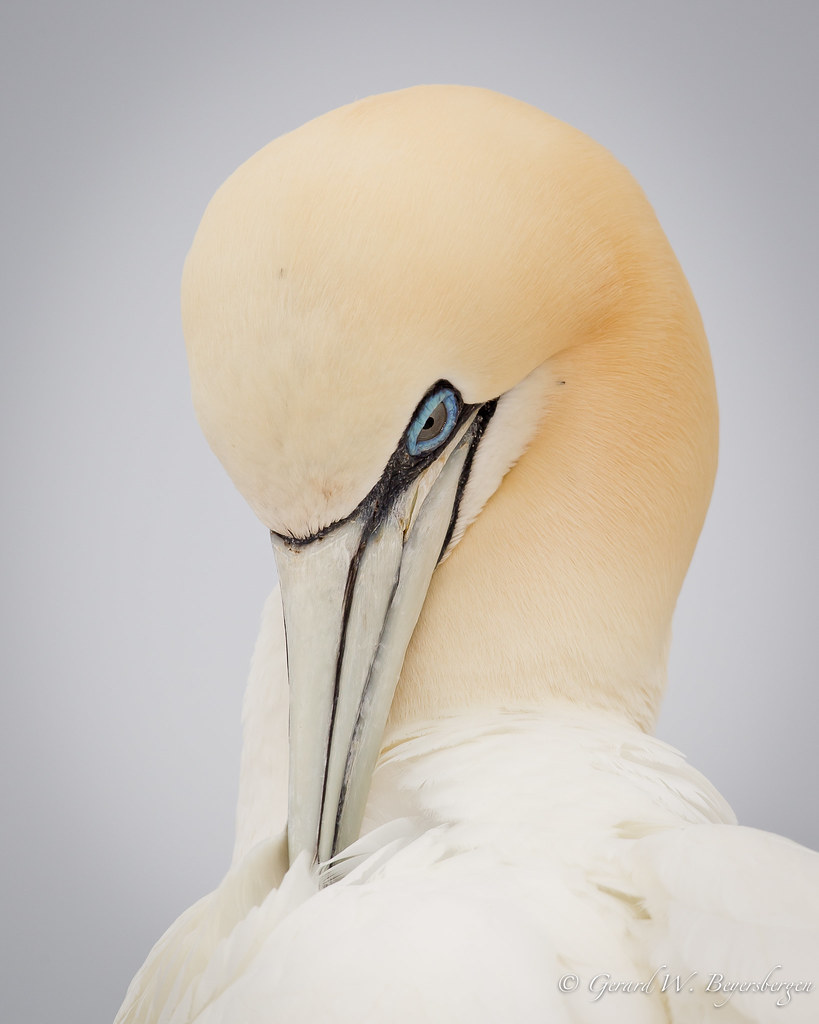
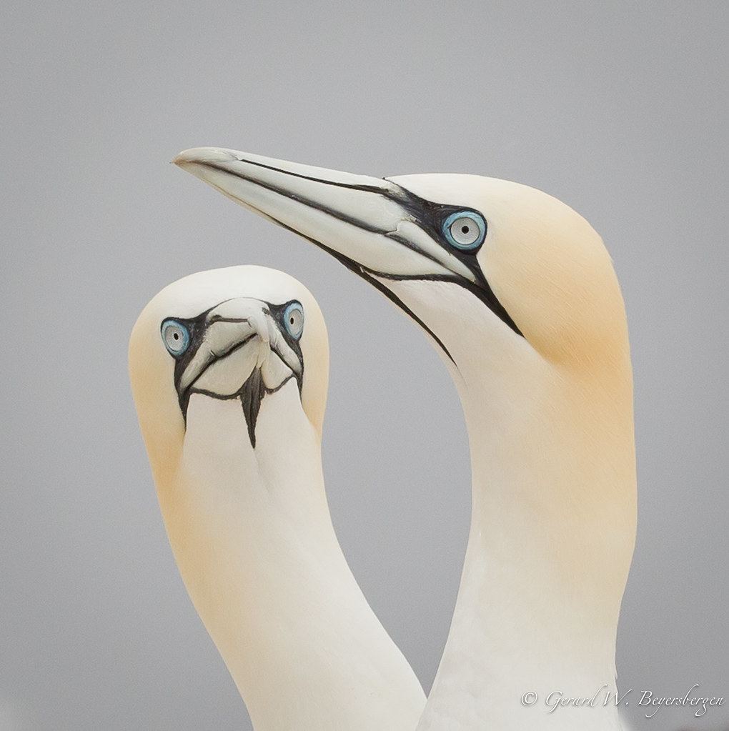
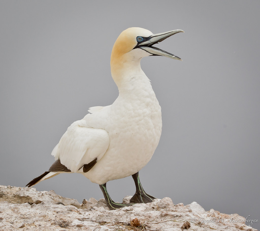
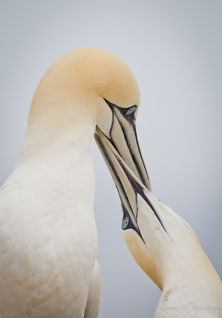
Northern Gannet
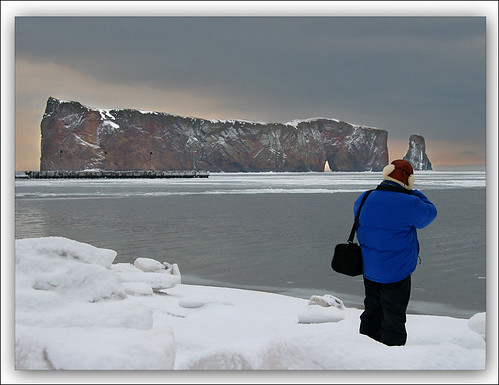
Take a Photo of a Photographer
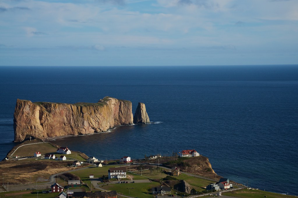
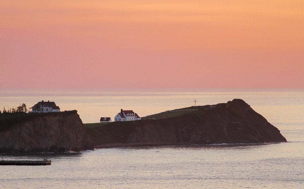
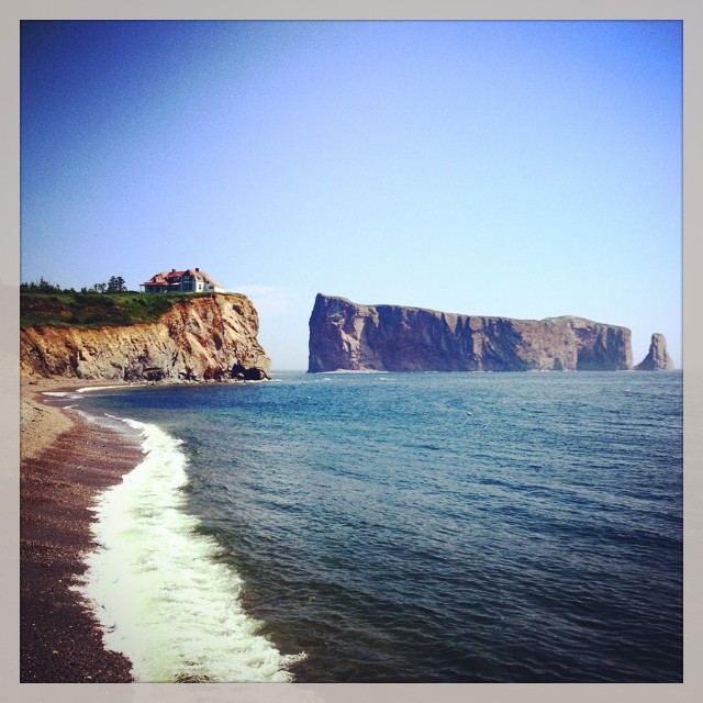
Postcard view of Perce
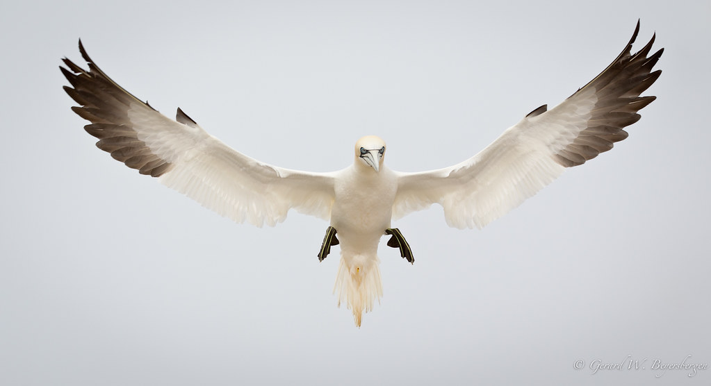
Northern Gannet
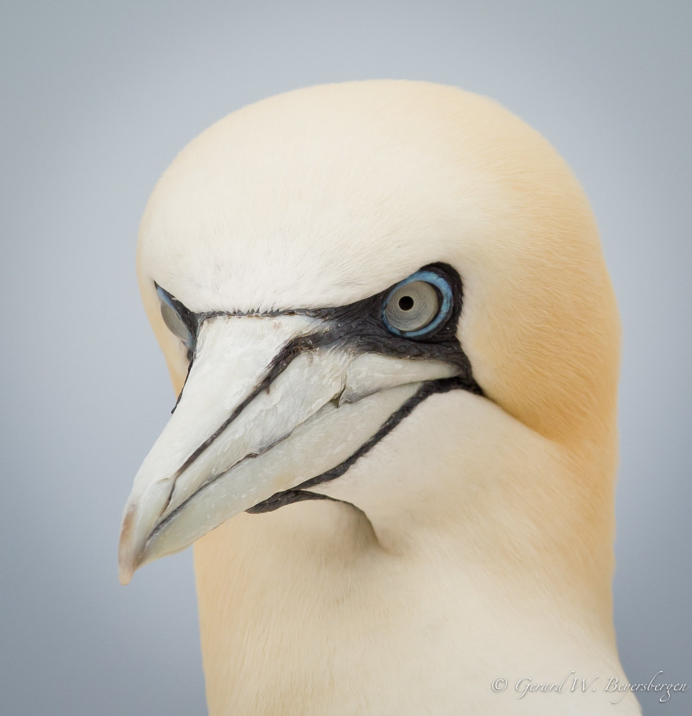
Northern Gannet
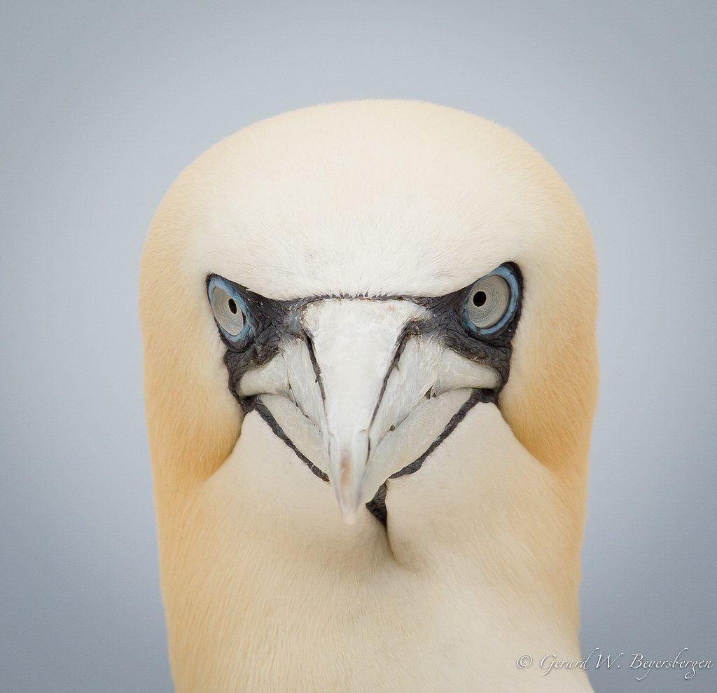
Northern Gannet

Northern Gannet
Northern Gannet
Northern Gannet
Northern Gannet

Northern Gannet
Northern Gannet
Northern Gannet

The village of Percé and the rock viewed from the belvedere / Percé et le rocher vue du belvédère (P1030843)
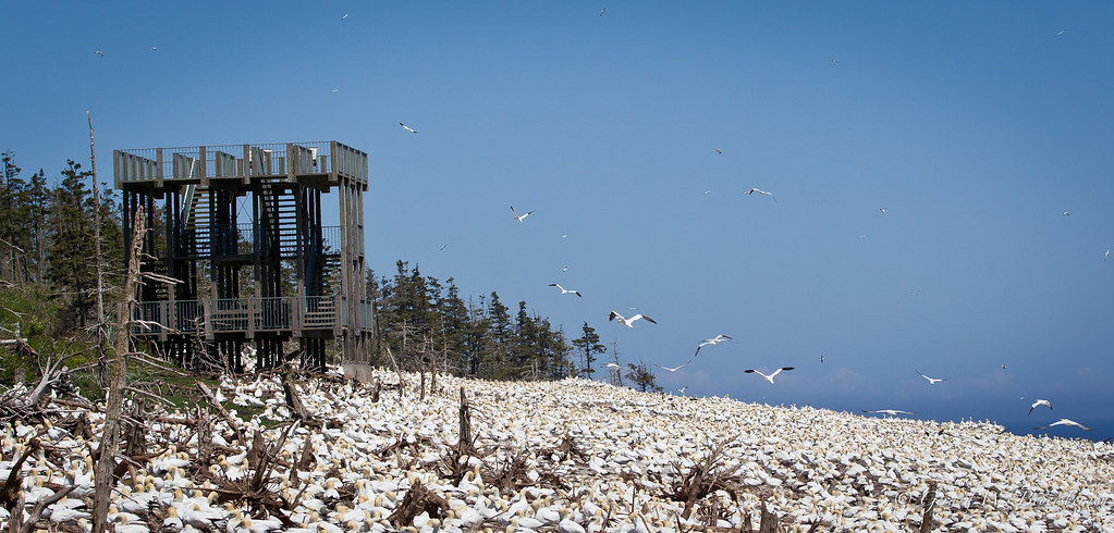
Bonaventure Island Northern Gannet Colony
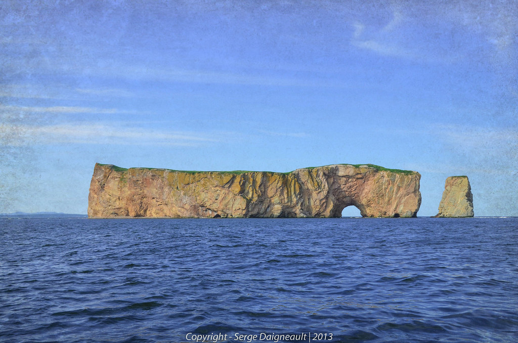
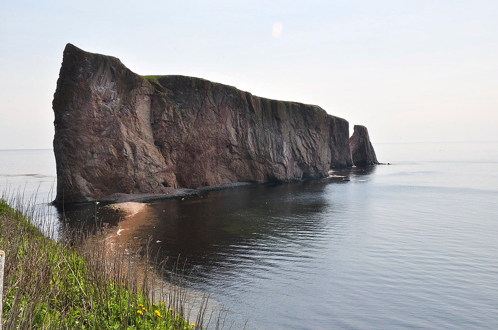
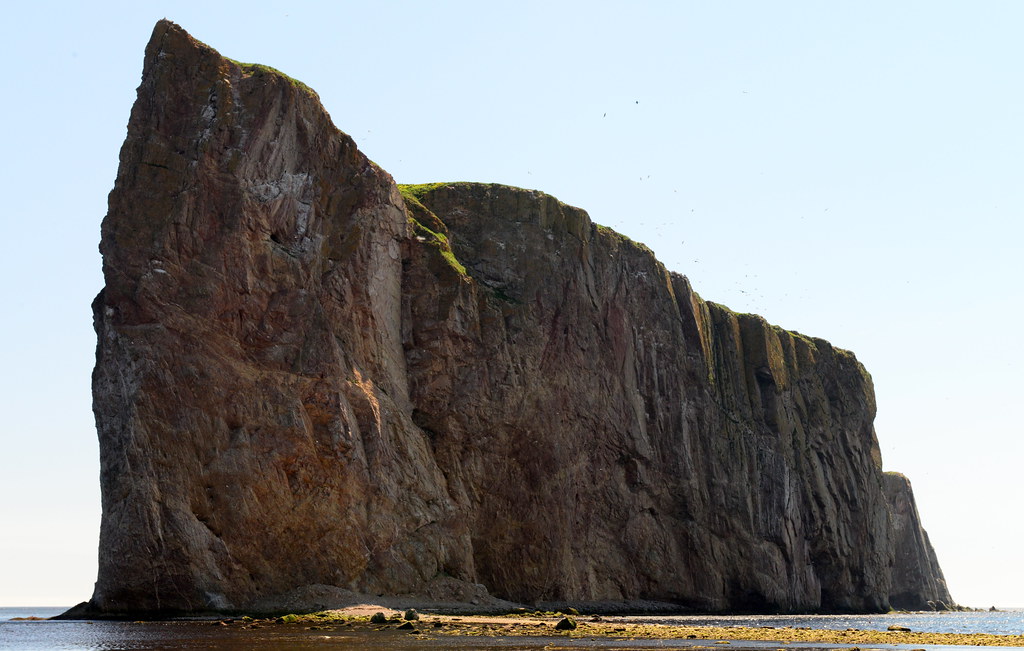
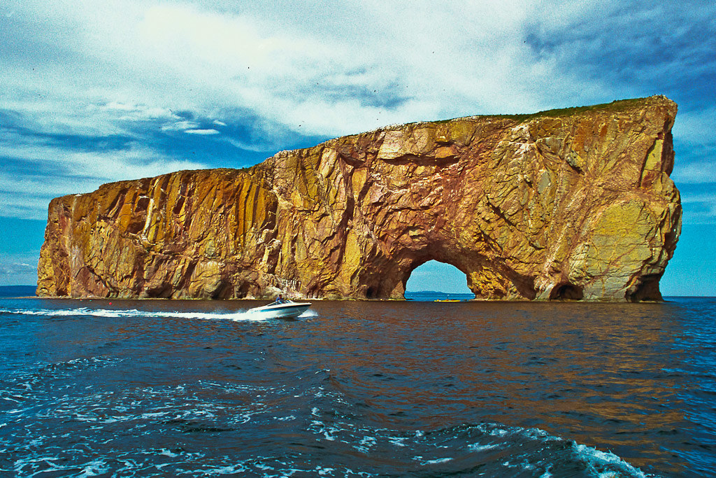
Rocher Percé / Pierced Rock
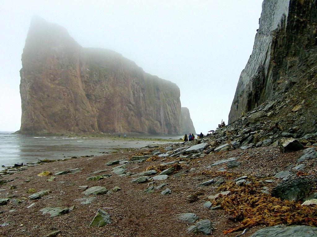
Rocher Percé dans la brume / Percé Rock in the Fog
The view from here... #shutterbugging #summer #gaspesie #autoroute #hwy132 #roadtrip #quebec
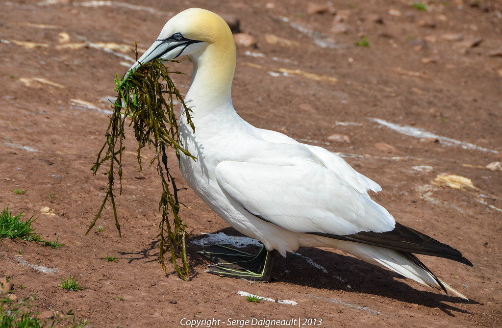
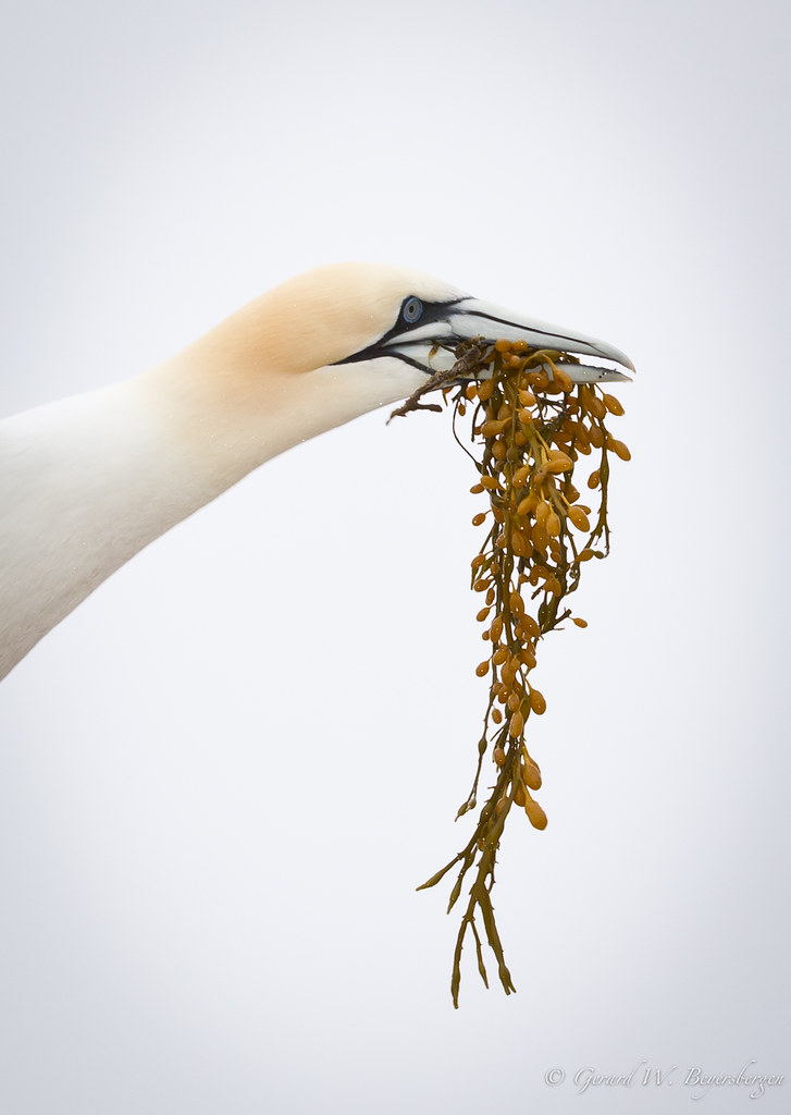
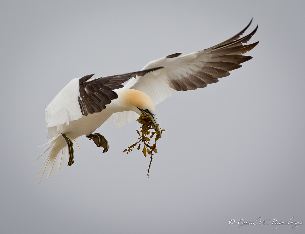
Gathering Algae
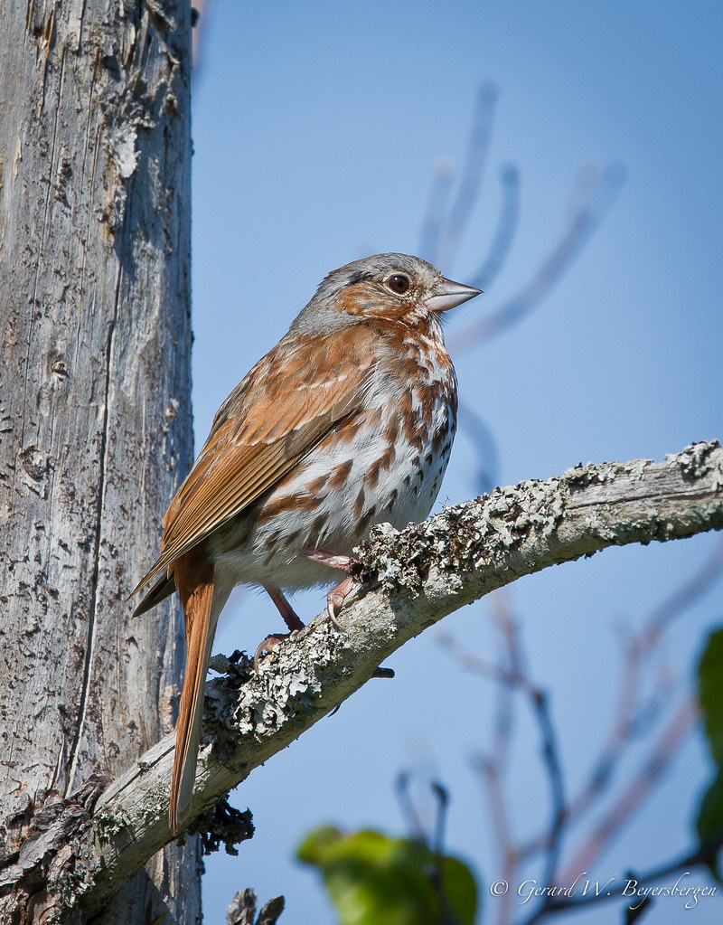
Fox Sparrow
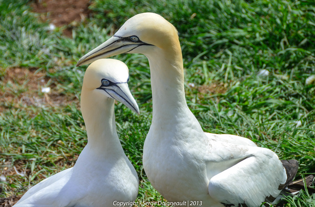
Fous de Bassan / Northern Gannets
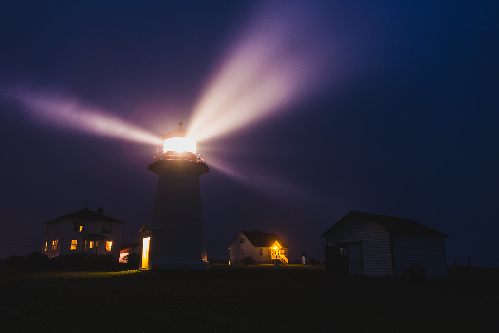
Phare de Cap-d'Espoir la nuit

Perchée sur la falaise...
Still a kid
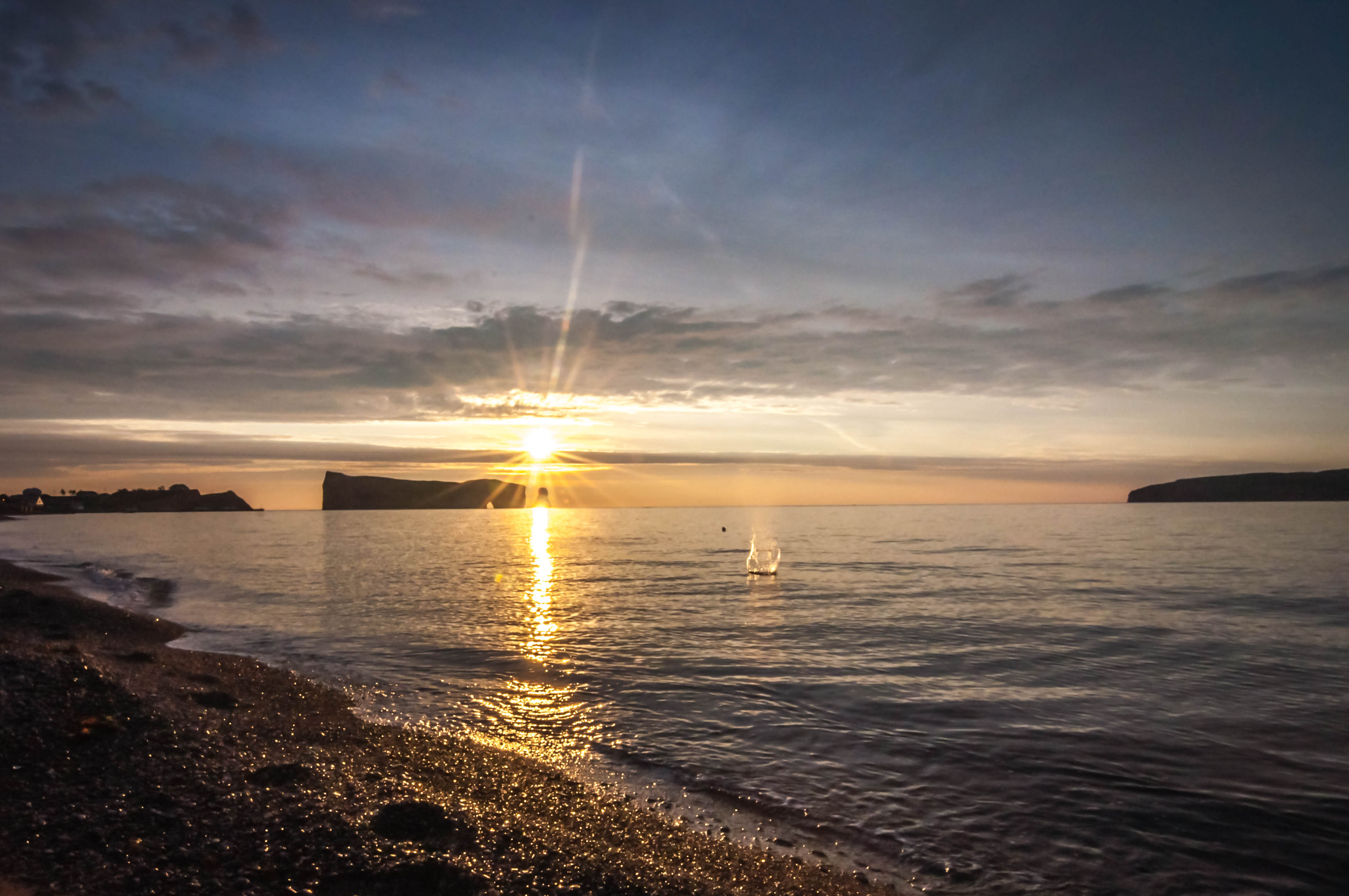
Cold Morning sunrise
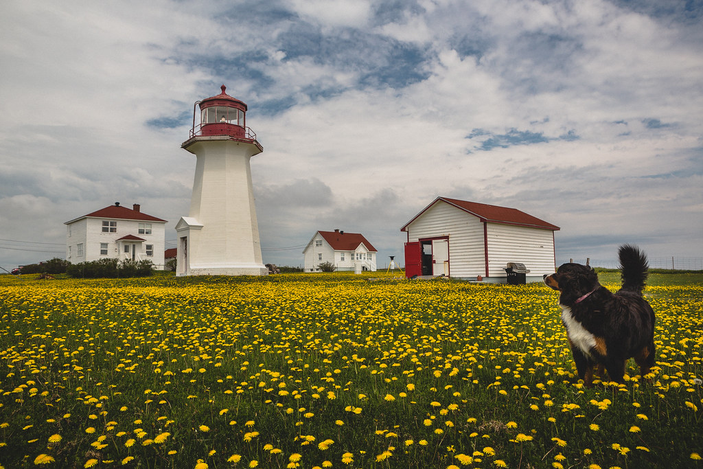
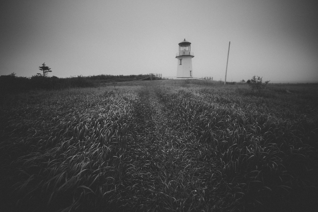
Phare de Cap-d'Espoir
Phare du Cap-Blanc
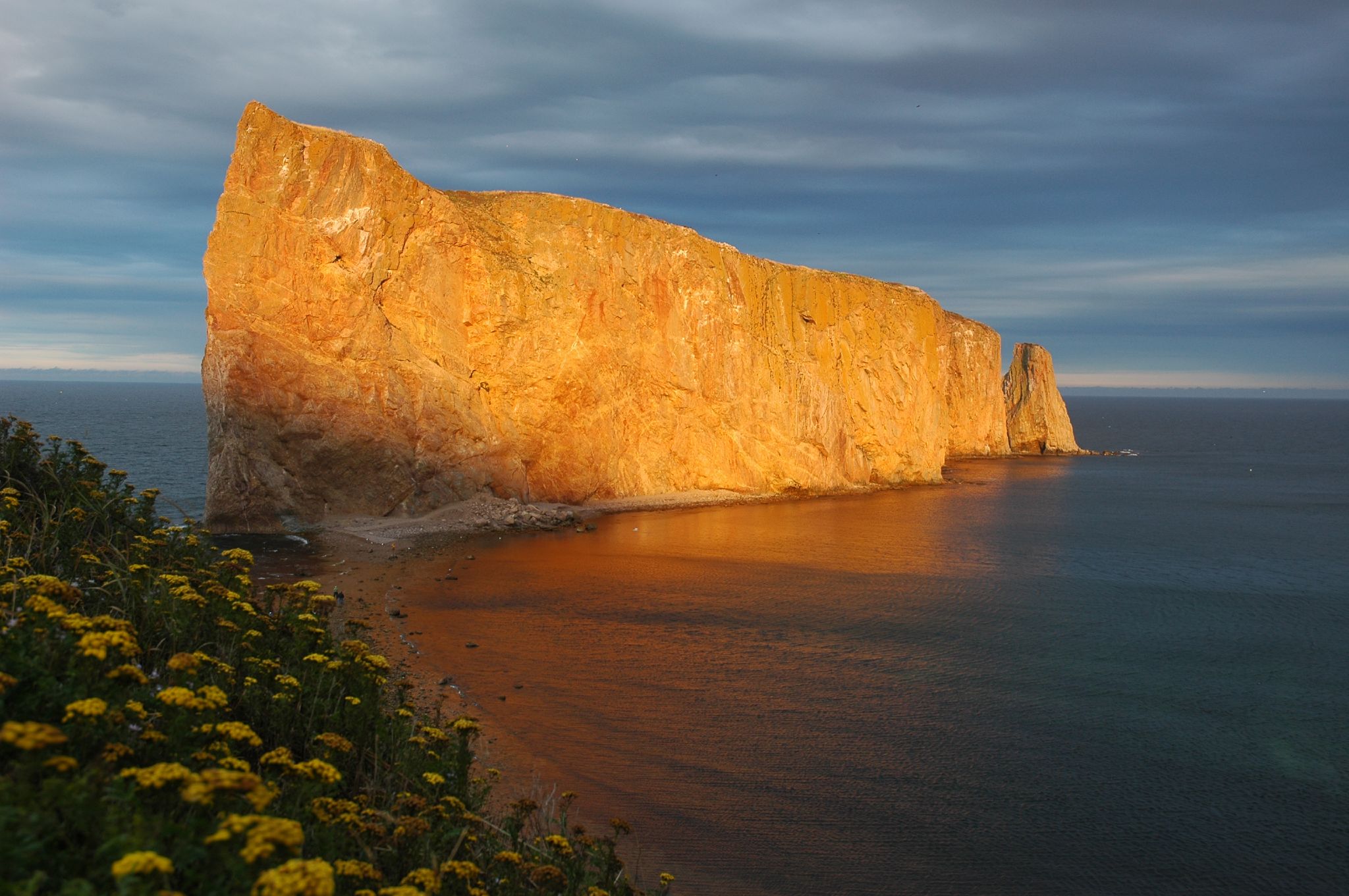
rocher percé

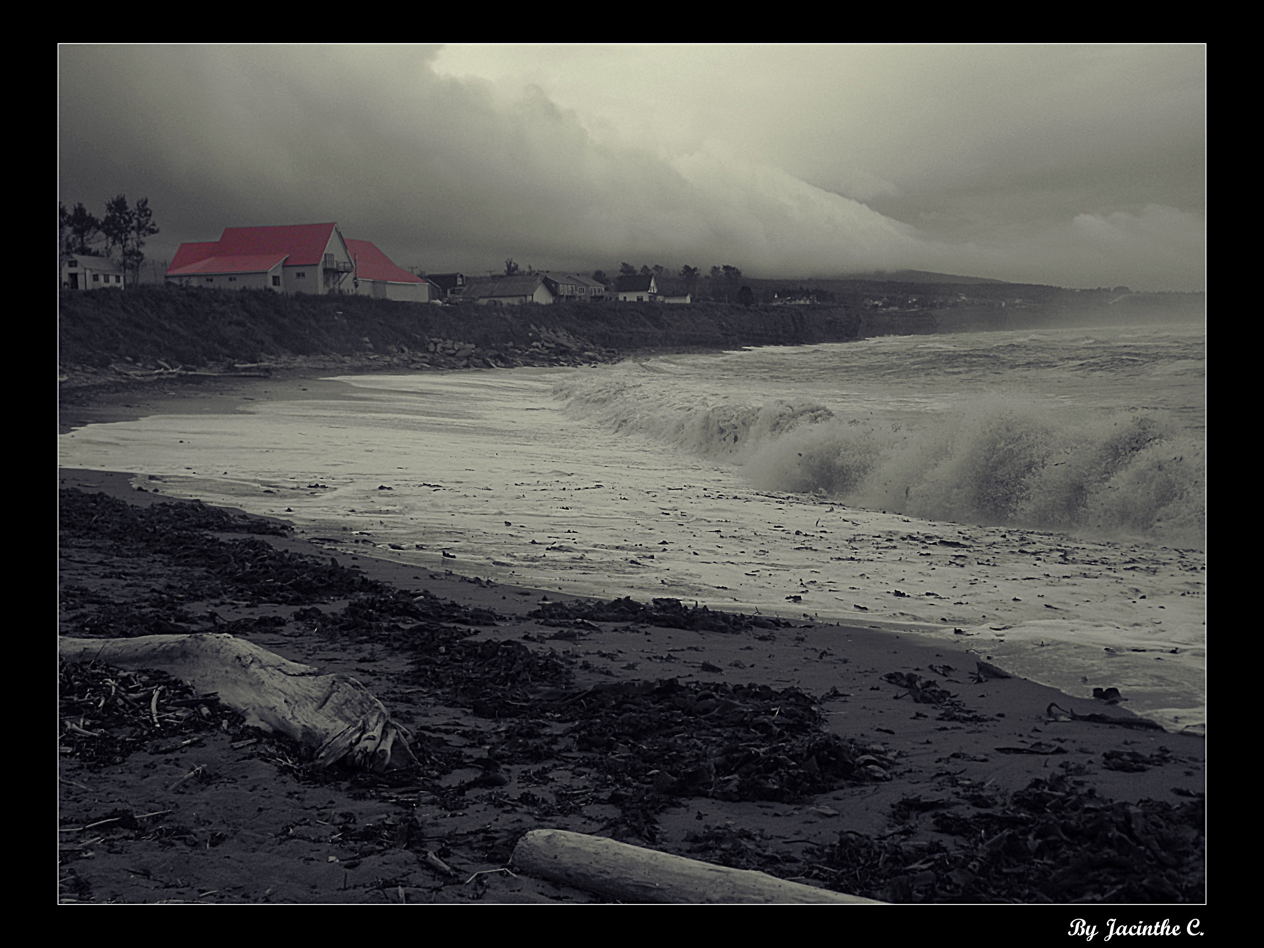
I missed the ocean
Percé
rocher percé

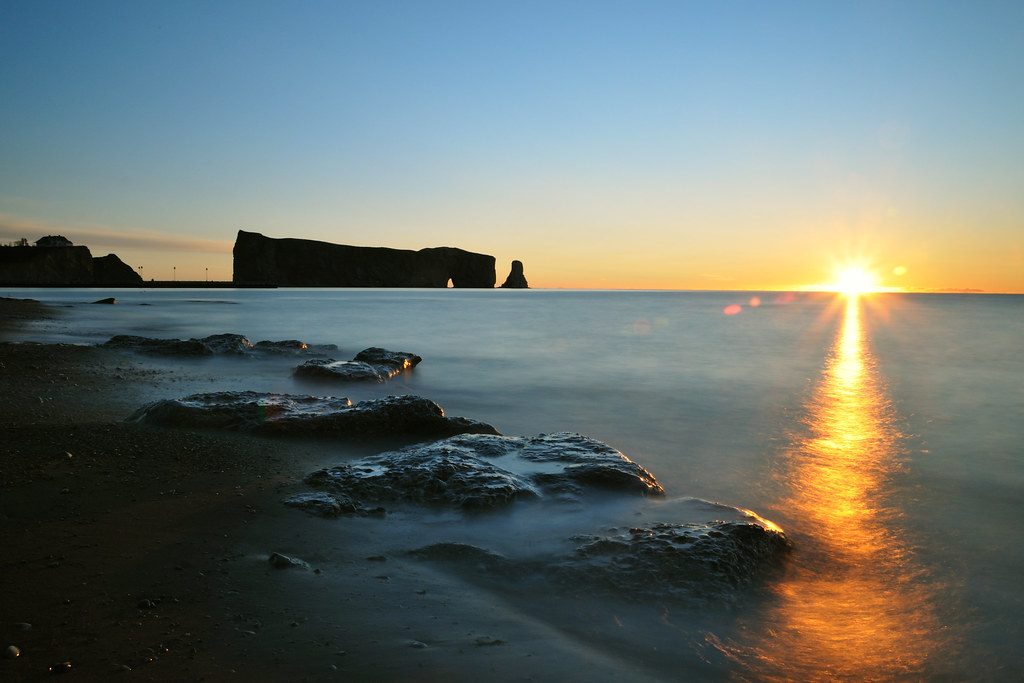
Sunrise at Percé
The view from here... #shutterbugging #summer #perce #quebec #autoroute #roadtrip #gaspesie #explorecanada #ocanada
Percé Rock
Clouds and sea...
Le Rocher Percé, Gaspésie, QC, Canada

Roché Percé depuis l'ile Bonaventure HDR II
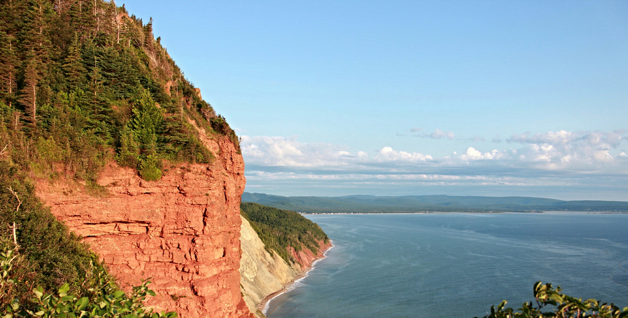
La falaise...au pic de l'aurore !!

A turquoise bay... a lovely place to enjoy your day
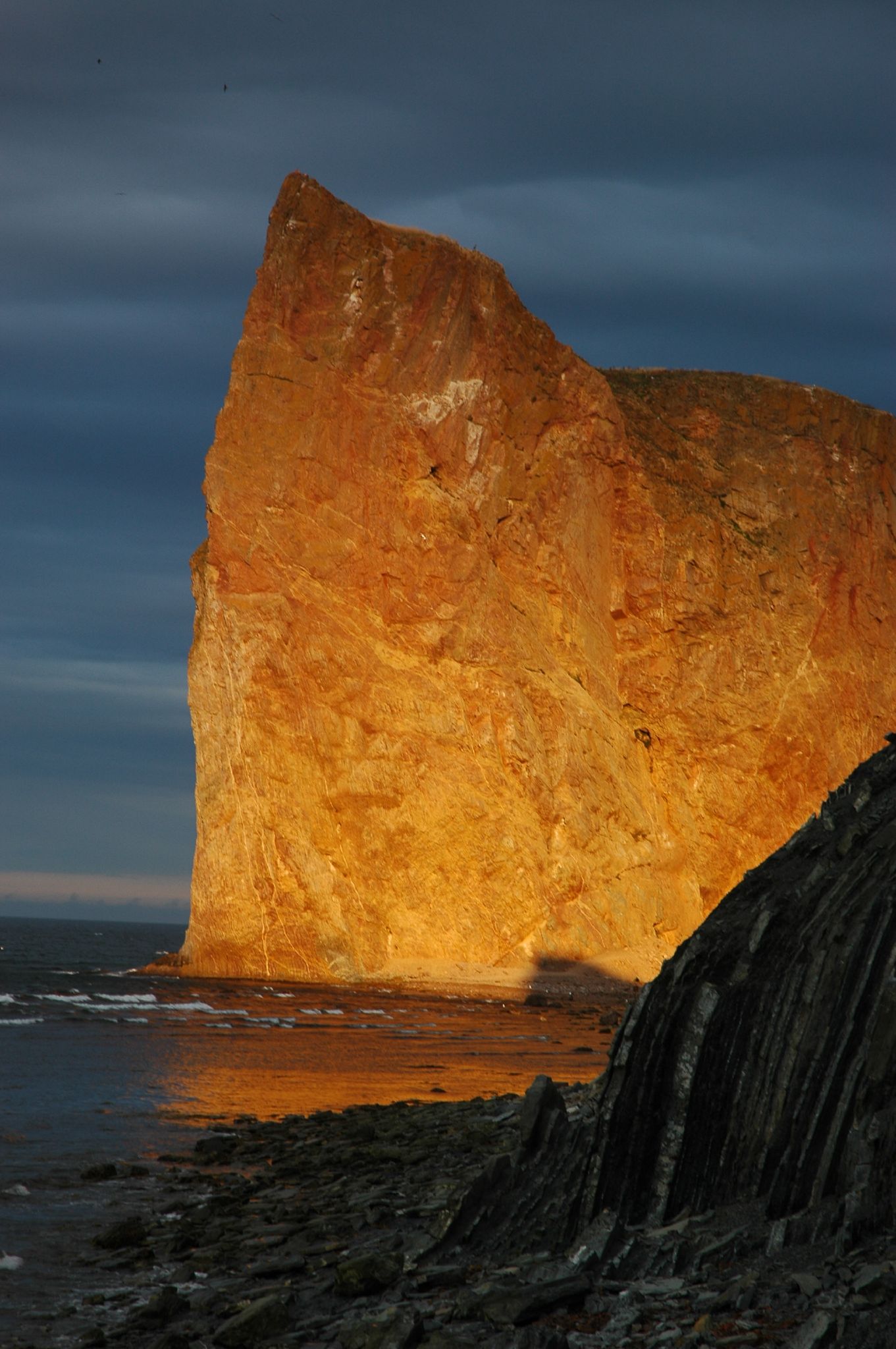
Le rocher Percé au petit matin
Topographic Map of Route de l'Anse à Beaufils, Cap-d'Espoir, QC G0C 1G0, Canada
Find elevation by address:

Places near Route de l'Anse à Beaufils, Cap-d'Espoir, QC G0C 1G0, Canada:
QC-, Cap-d'Espoir, QC G0C 1G0, Canada
QC-, Cap-d'Espoir, QC G0C 1G0, Canada
Route de la Station, Cap-d'Espoir, QC G0C 1G0, Canada
Percé
QC-, Barachois, QC G0C 1A0, Canada
Le Cimetière
QC-, Saint-Georges-de-Malbaie, QC G0C 2X0, Canada
5 Rue de la Belle Vue, Grande-Rivière-Ouest, QC G0C 1W0, Canada
QC-, Saint-Georges-de-Malbaie, QC G0C 2X0, Canada
QC-, Saint-Georges-de-Malbaie, QC G0C 2X0, Canada
Grande Allée O, Grande-Rivière-Ouest, QC G0C 1W0, Canada
41 Route de la Pointe Saint Pierre, Saint-Georges-de-Malbaie, QC G0C 2X0, Canada
41 Avenue Kennedy, Gaspé, QC G4X 2X4, Canada
Haldimand Beach
Le Bout Du Monde
432 Montée De Sandy-beach
Gaspé
Boul de Forillon, Gaspé, QC G4X 6T9, Canada
Montée de Wakeham, Gaspé, QC G4X 2P5, Canada
Boulevard de Cap des Rosiers, Gaspé, QC G4X 6G5, Canada
Recent Searches:
- Elevation of Tenjo, Cundinamarca, Colombia
- Elevation of Côte-des-Neiges, Montreal, QC H4A 3J6, Canada
- Elevation of Bobcat Dr, Helena, MT, USA
- Elevation of Zu den Ihlowbergen, Althüttendorf, Germany
- Elevation of Badaber, Peshawar, Khyber Pakhtunkhwa, Pakistan
- Elevation of SE Heron Loop, Lincoln City, OR, USA
- Elevation of Slanický ostrov, 01 Námestovo, Slovakia
- Elevation of Spaceport America, Co Rd A, Truth or Consequences, NM, USA
- Elevation of Warwick, RI, USA
- Elevation of Fern Rd, Whitmore, CA, USA