Elevation of QC-, Cap-d'Espoir, QC G0C 1G0, Canada
Location: Canada > Québec > Le Rocher-percé Regional County Municipality > Percé >
Longitude: -64.311832
Latitude: 48.4711791
Elevation: 9m / 30feet
Barometric Pressure: 101KPa
Elevation Map:
Satellite Map:
Related Photos:
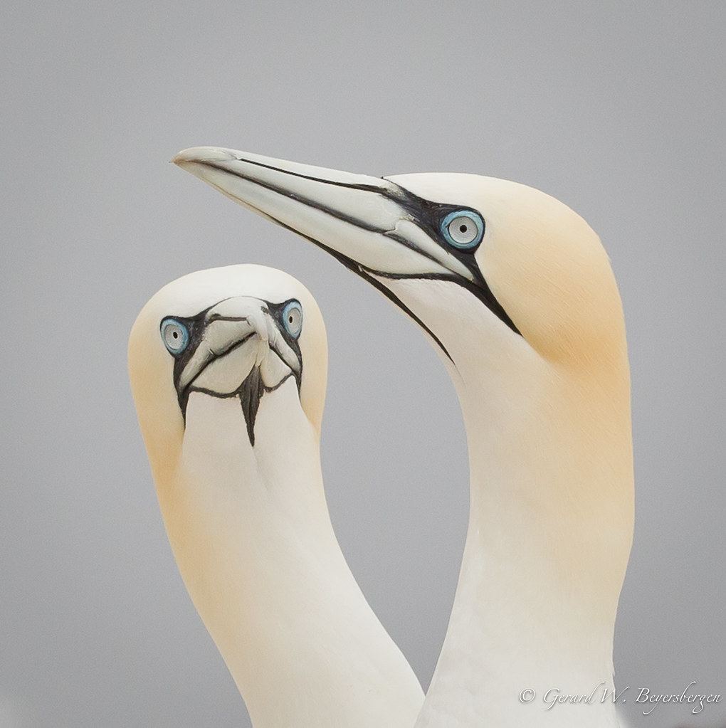
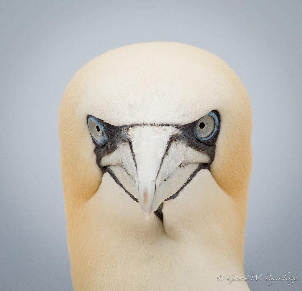
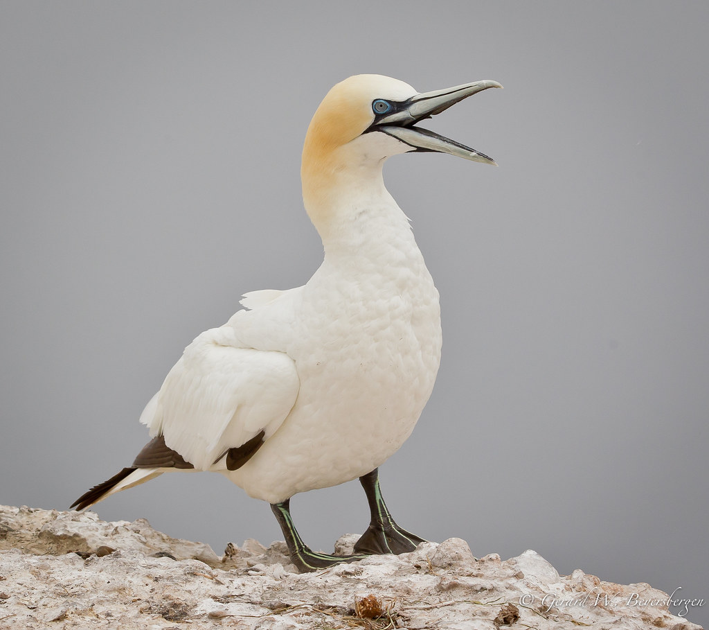
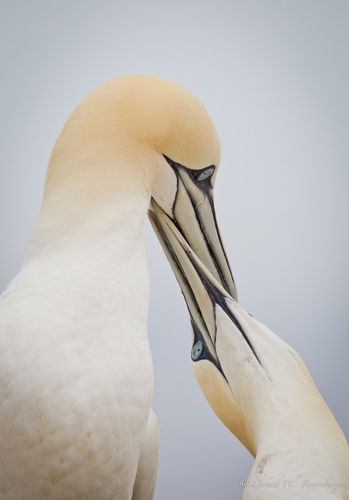
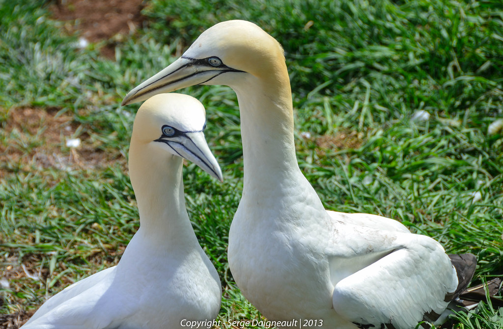
Northern Gannet

Northern Gannet
Northern Gannet
Northern Gannet
Northern Gannet
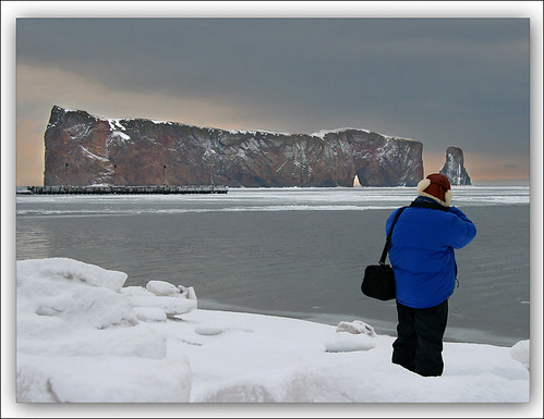
Take a Photo of a Photographer

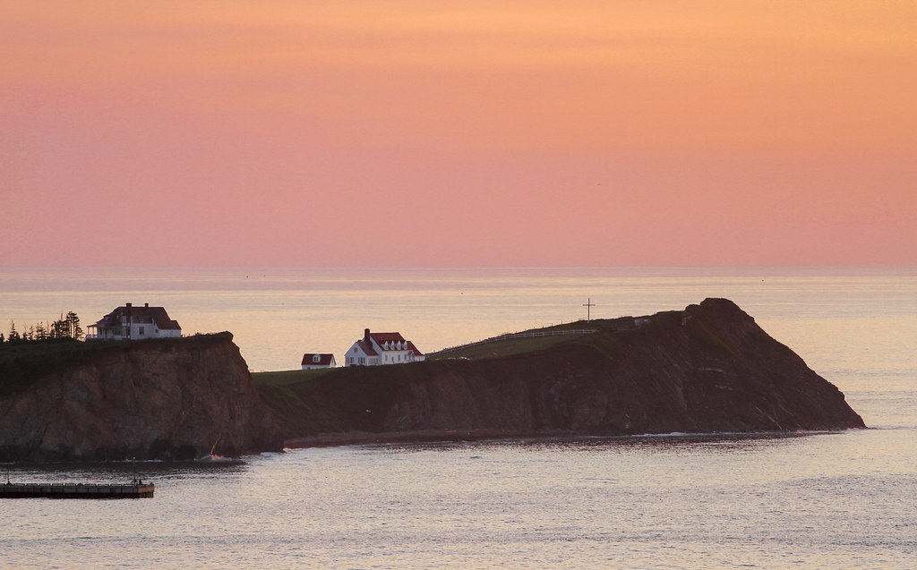
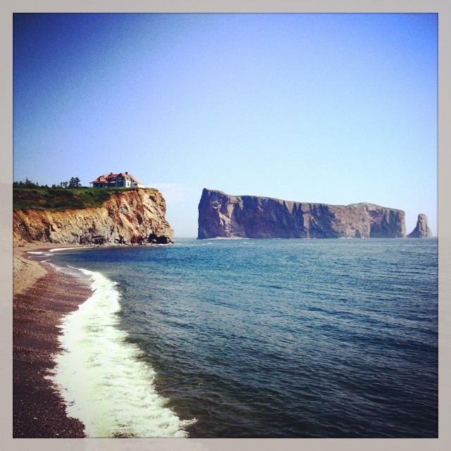
The village of Percé and the rock viewed from the belvedere / Percé et le rocher vue du belvédère (P1030843)
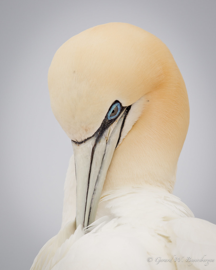
Northern Gannet
Northern Gannet
Northern Gannet

Northern Gannet
Northern Gannet
Northern Gannet
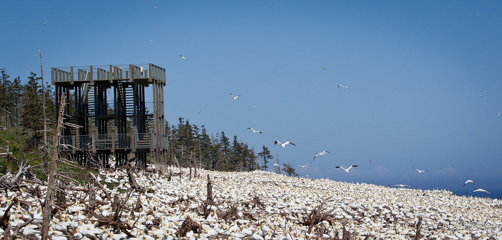
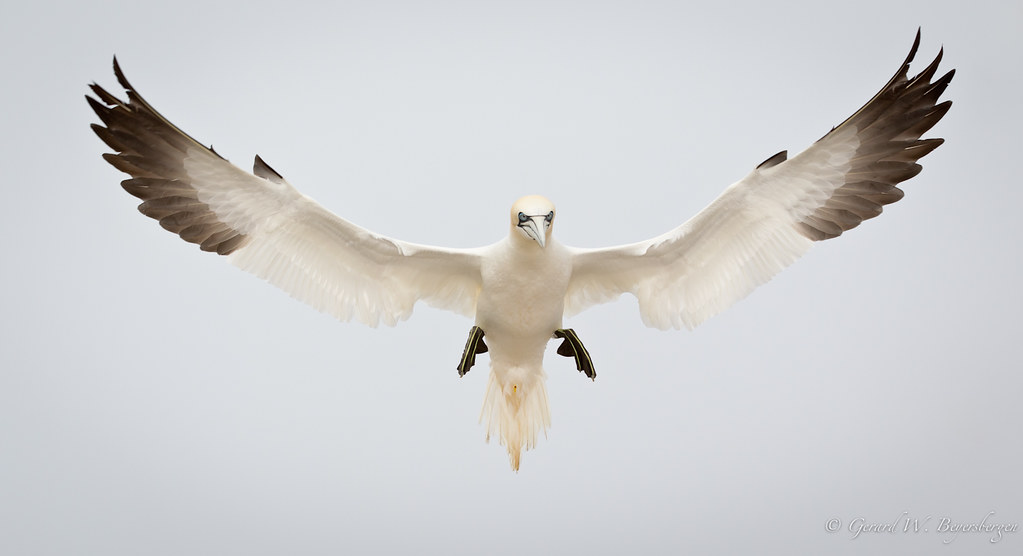
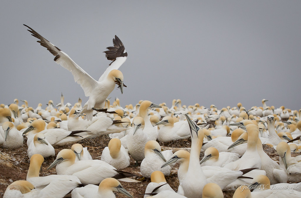
Bonaventure Island Northern Gannet Colony
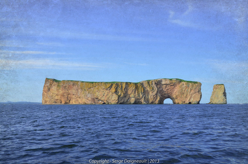
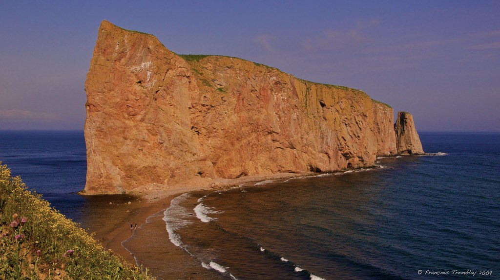
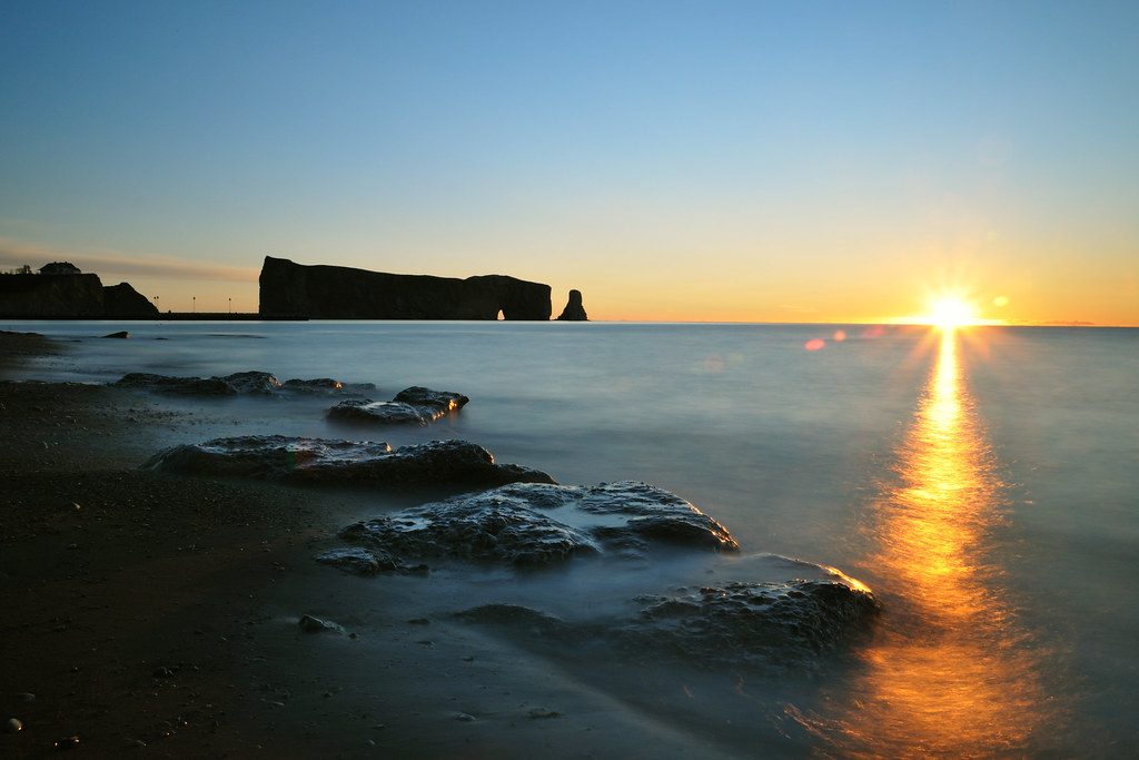
Rocher Percé / Pierced Rock
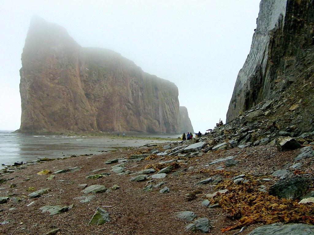
Rocher Percé dans la brume / Percé Rock in the Fog
The view from here... #shutterbugging #summer #gaspesie #autoroute #hwy132 #roadtrip #quebec
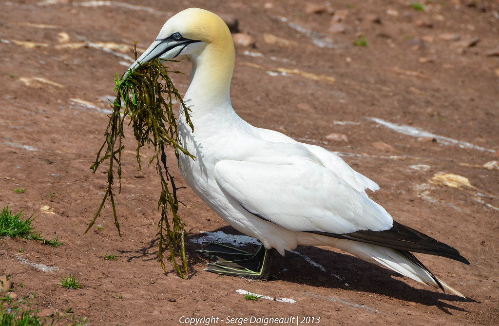
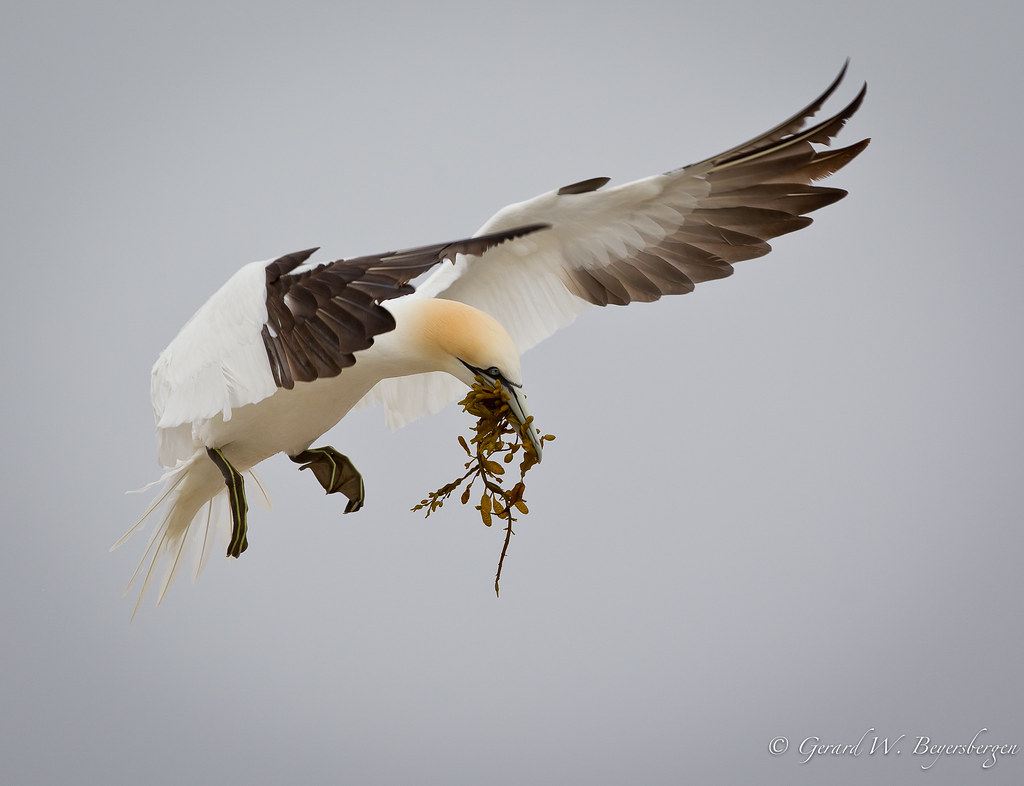
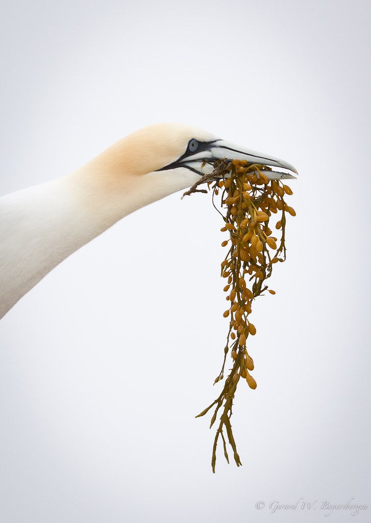
Gathering Algae
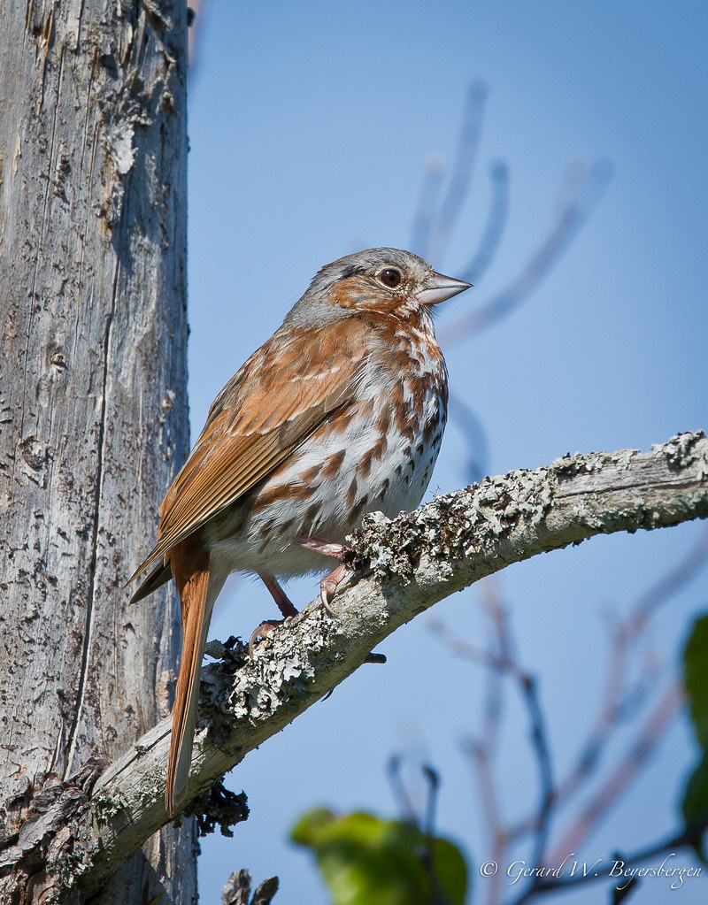
Fox Sparrow
Fous de Bassan / Northern Gannets
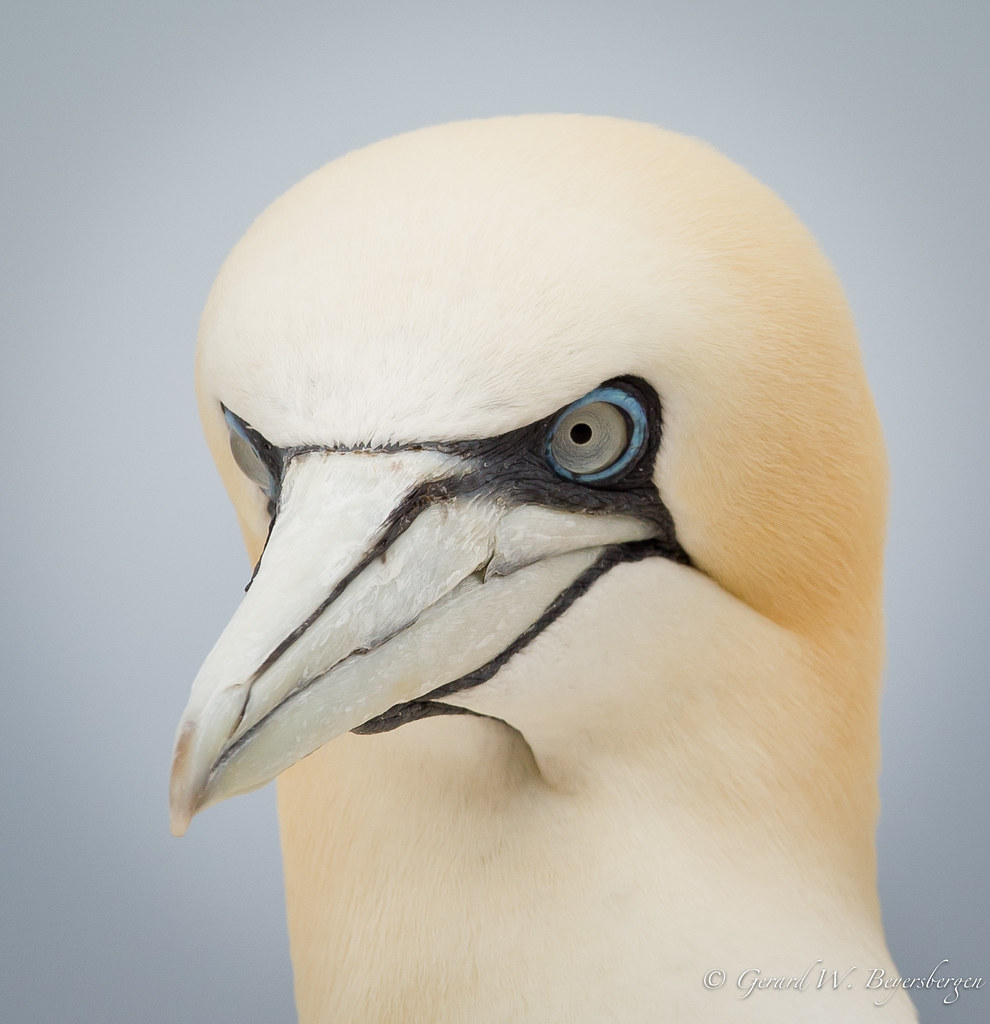
Northern Gannet
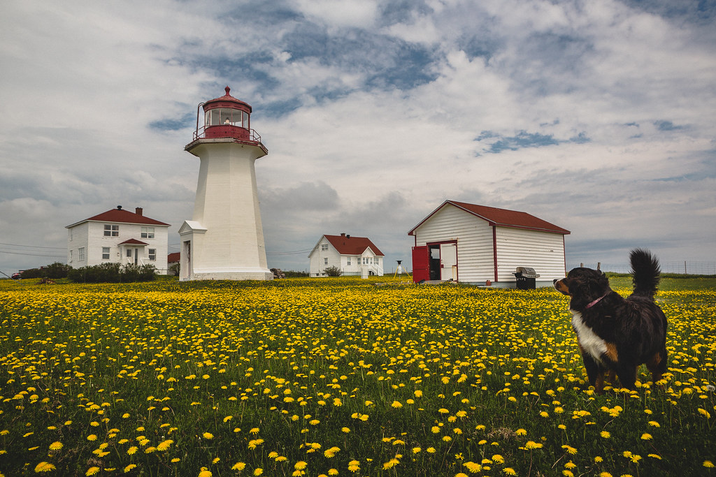
Phare de Cap-d'Espoir
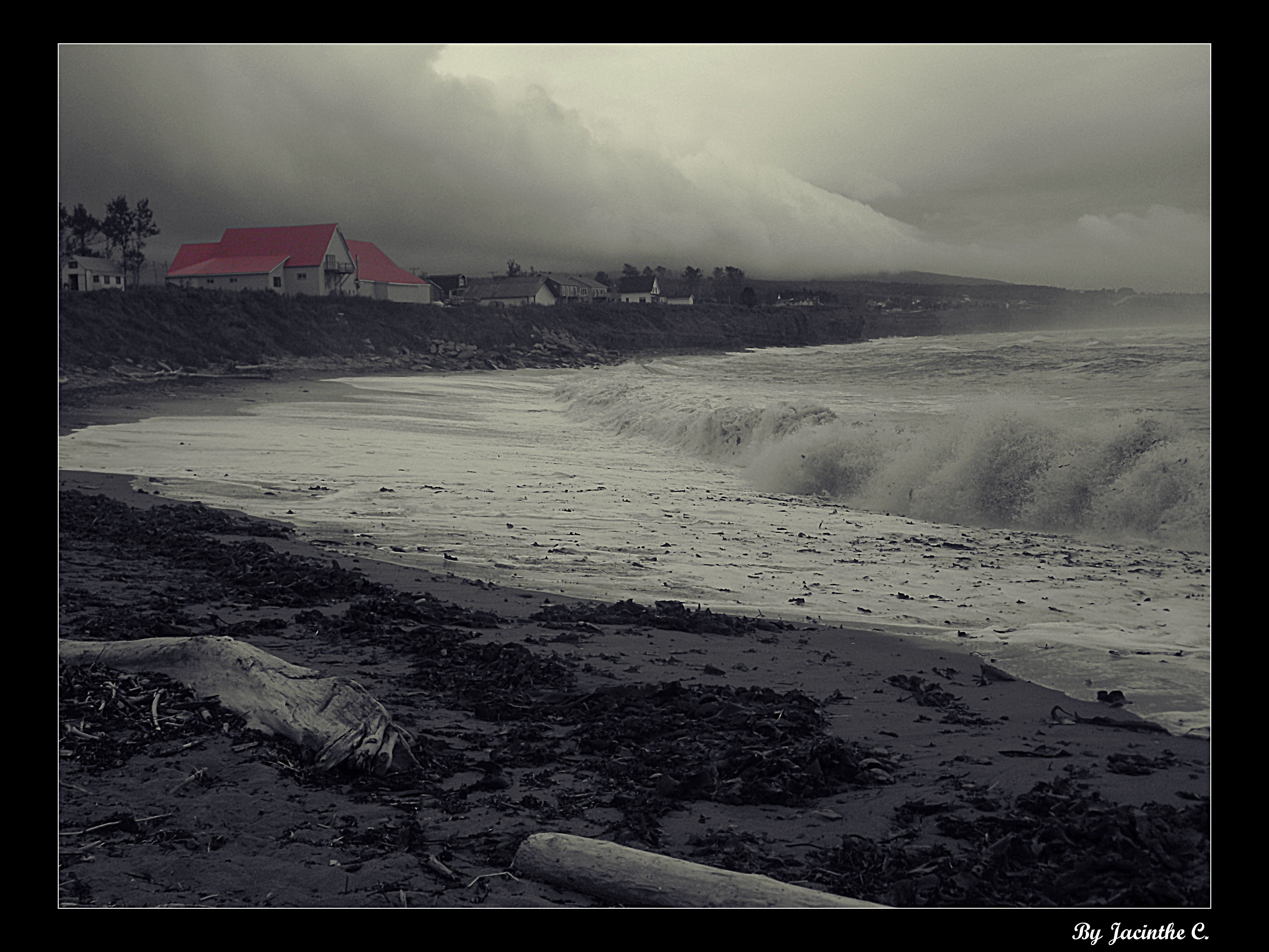
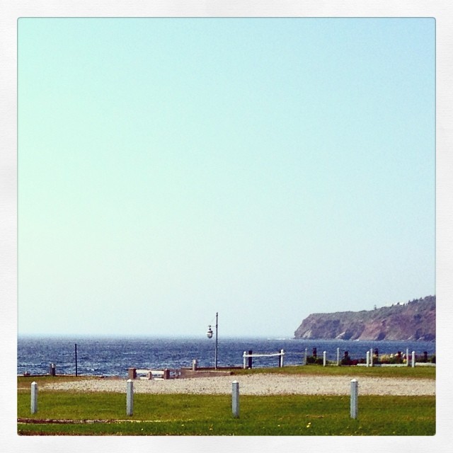
Clouds and sea...
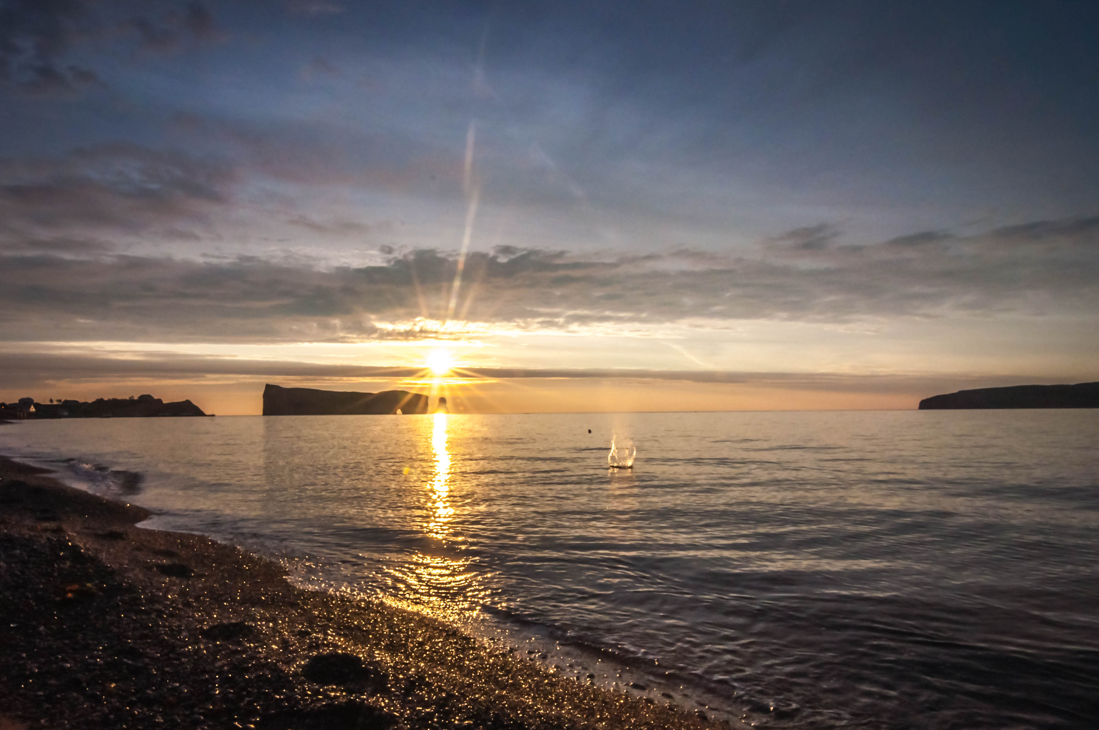
Cold Morning sunrise
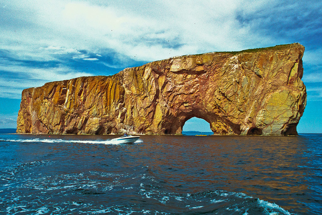
Le Rocher Percé, Gaspésie, QC, Canada

Roché Percé depuis l'ile Bonaventure HDR II
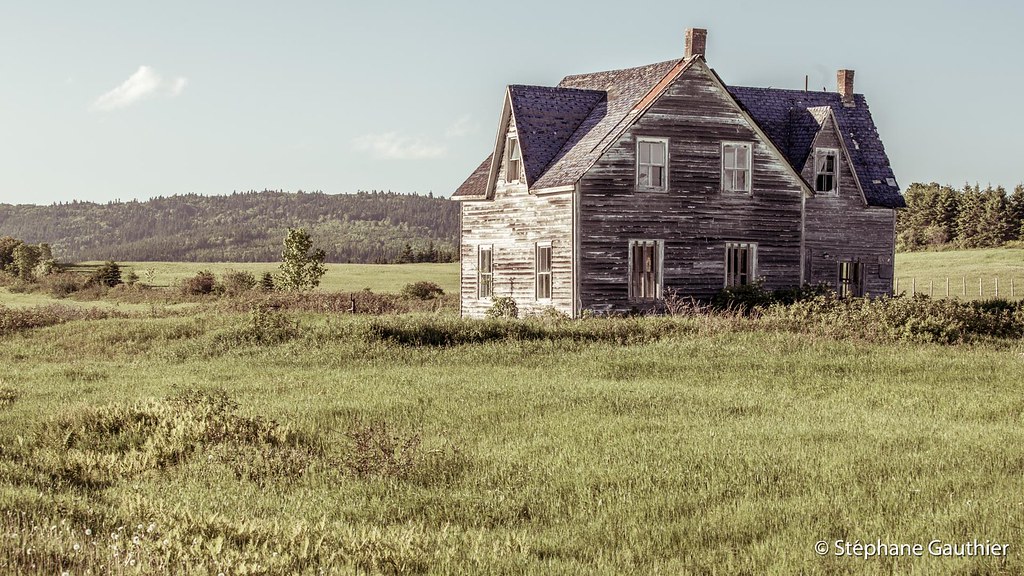
La belle abandonnée

A turquoise bay... a lovely place to enjoy your day
Little House on Island

A fence and a white house in / Clôture et maison blanche à Percé, Québec (P1040082)
Le Rocher Percé, Québec (P1040087)
rocher percé

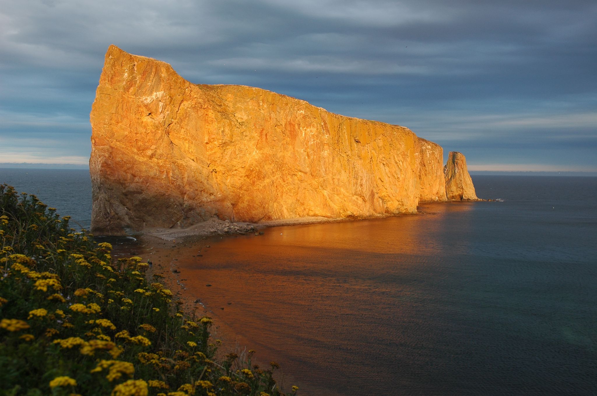
Sunrise at Percé
The view from here... #shutterbugging #summer #perce #quebec #autoroute #roadtrip #gaspesie #explorecanada #ocanada
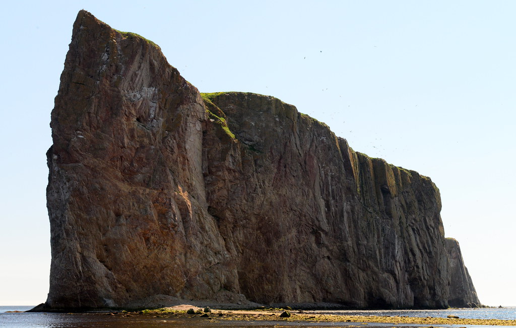
Percé Rock
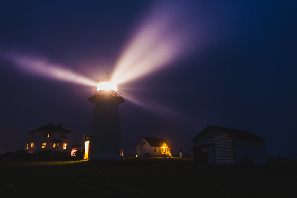
Phare de Cap-d'Espoir la nuit

Perchée sur la falaise...
Still a kid
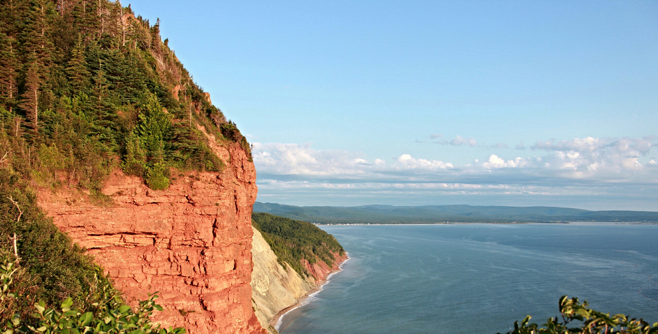
La falaise...au pic de l'aurore !!
Le rocher Percé au petit matin
Topographic Map of QC-, Cap-d'Espoir, QC G0C 1G0, Canada
Find elevation by address:

Places near QC-, Cap-d'Espoir, QC G0C 1G0, Canada:
QC-, Cap-d'Espoir, QC G0C 1G0, Canada
Route de l'Anse à Beaufils, Cap-d'Espoir, QC G0C 1G0, Canada
Route de la Station, Cap-d'Espoir, QC G0C 1G0, Canada
Percé
Le Cimetière
QC-, Barachois, QC G0C 1A0, Canada
QC-, Saint-Georges-de-Malbaie, QC G0C 2X0, Canada
QC-, Saint-Georges-de-Malbaie, QC G0C 2X0, Canada
41 Route de la Pointe Saint Pierre, Saint-Georges-de-Malbaie, QC G0C 2X0, Canada
QC-, Saint-Georges-de-Malbaie, QC G0C 2X0, Canada
5 Rue de la Belle Vue, Grande-Rivière-Ouest, QC G0C 1W0, Canada
Grande Allée O, Grande-Rivière-Ouest, QC G0C 1W0, Canada
41 Avenue Kennedy, Gaspé, QC G4X 2X4, Canada
Le Bout Du Monde
Haldimand Beach
432 Montée De Sandy-beach
Gaspé
Boul de Forillon, Gaspé, QC G4X 6T9, Canada
Boulevard de Cap des Rosiers, Gaspé, QC G4X 6G5, Canada
Montée de Wakeham, Gaspé, QC G4X 2P5, Canada
Recent Searches:
- Elevation of Corso Fratelli Cairoli, 35, Macerata MC, Italy
- Elevation of Tallevast Rd, Sarasota, FL, USA
- Elevation of 4th St E, Sonoma, CA, USA
- Elevation of Black Hollow Rd, Pennsdale, PA, USA
- Elevation of Oakland Ave, Williamsport, PA, USA
- Elevation of Pedrógão Grande, Portugal
- Elevation of Klee Dr, Martinsburg, WV, USA
- Elevation of Via Roma, Pieranica CR, Italy
- Elevation of Tavkvetili Mountain, Georgia
- Elevation of Hartfords Bluff Cir, Mt Pleasant, SC, USA