Elevation of Roswell Rd SW, Sherrodsville, OH, USA
Location: United States > Ohio > Carroll County > Monroe Township >
Longitude: -81.221152
Latitude: 40.5188665
Elevation: 290m / 951feet
Barometric Pressure: 98KPa
Elevation Map:
Satellite Map:
Related Photos:

'31 Ford

Weldon and Vivian Borland Grave
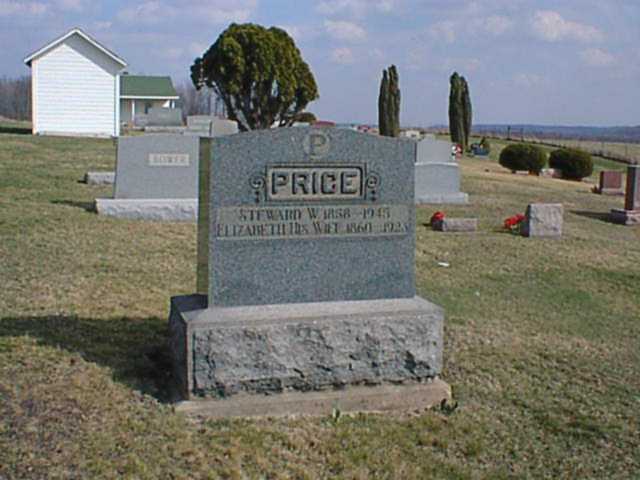
#15936 & #15937 Steward Weynandt & Elizabeth Price

Lake Mohawk

Osprey #wildlife #view #scenic #Freeport #pretty #backroads #exploring #Ohio #nikkon @nocrop_rc #rcnocrop

Osprey #wildlife #view #scenic #nature #instanature #adventure #lake #bird #exploring #Ohio #scenic #Freeport #pretty #backroads
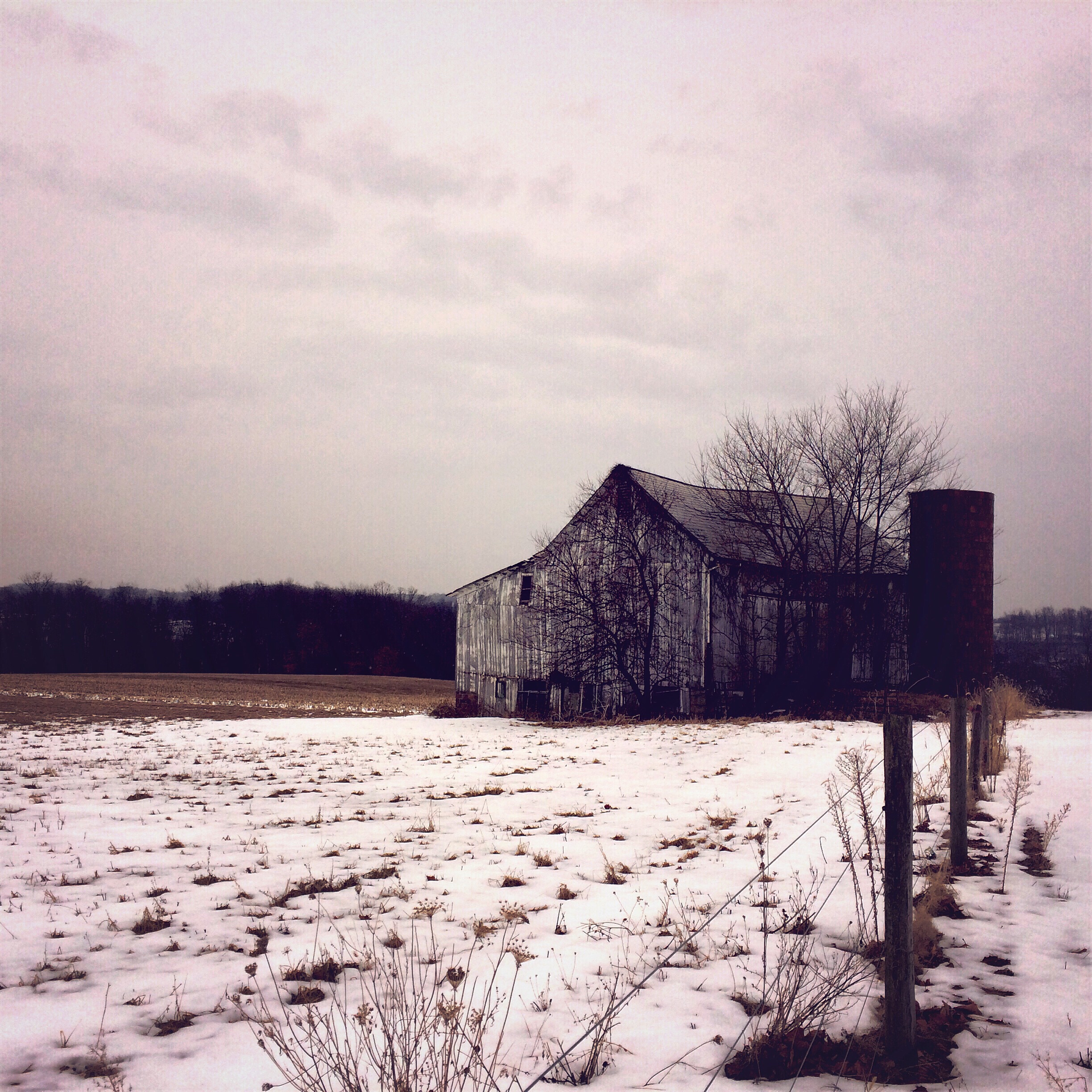
Carroll County, Ohio

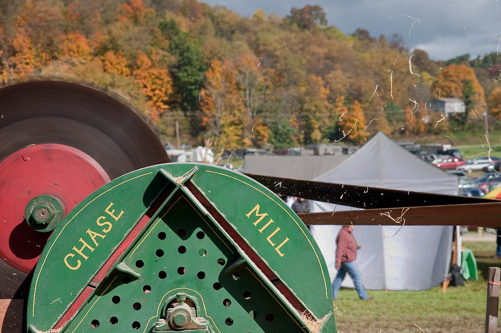
Tractor porn...

Dress shoulderboards, Union Major General
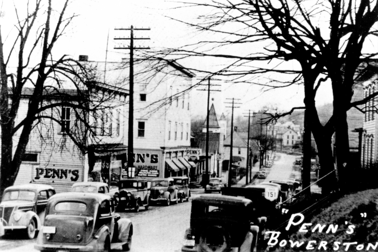
Penn's
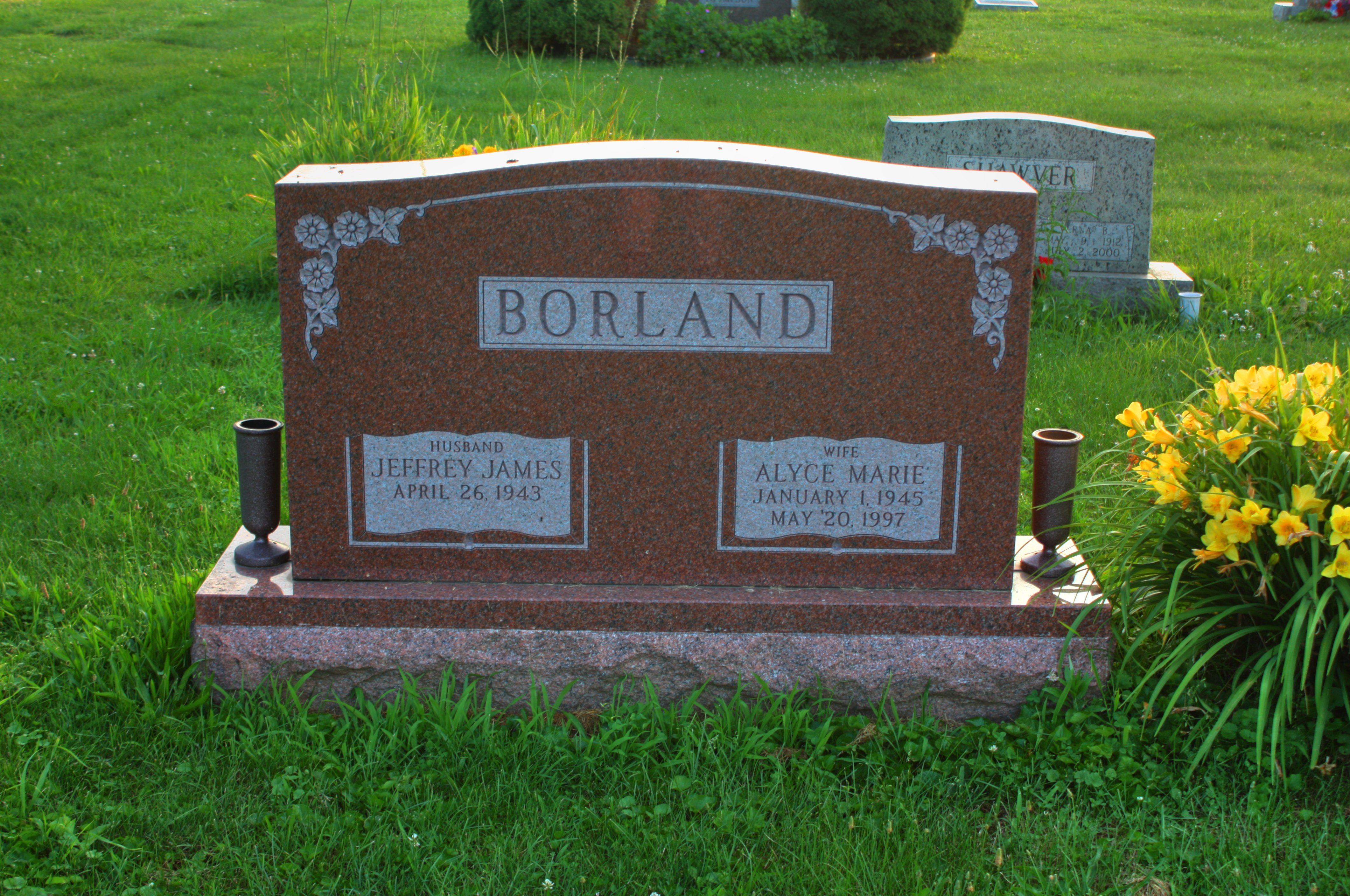
Alyce Marie Borland Grave
Goodbye Mr. Chips...
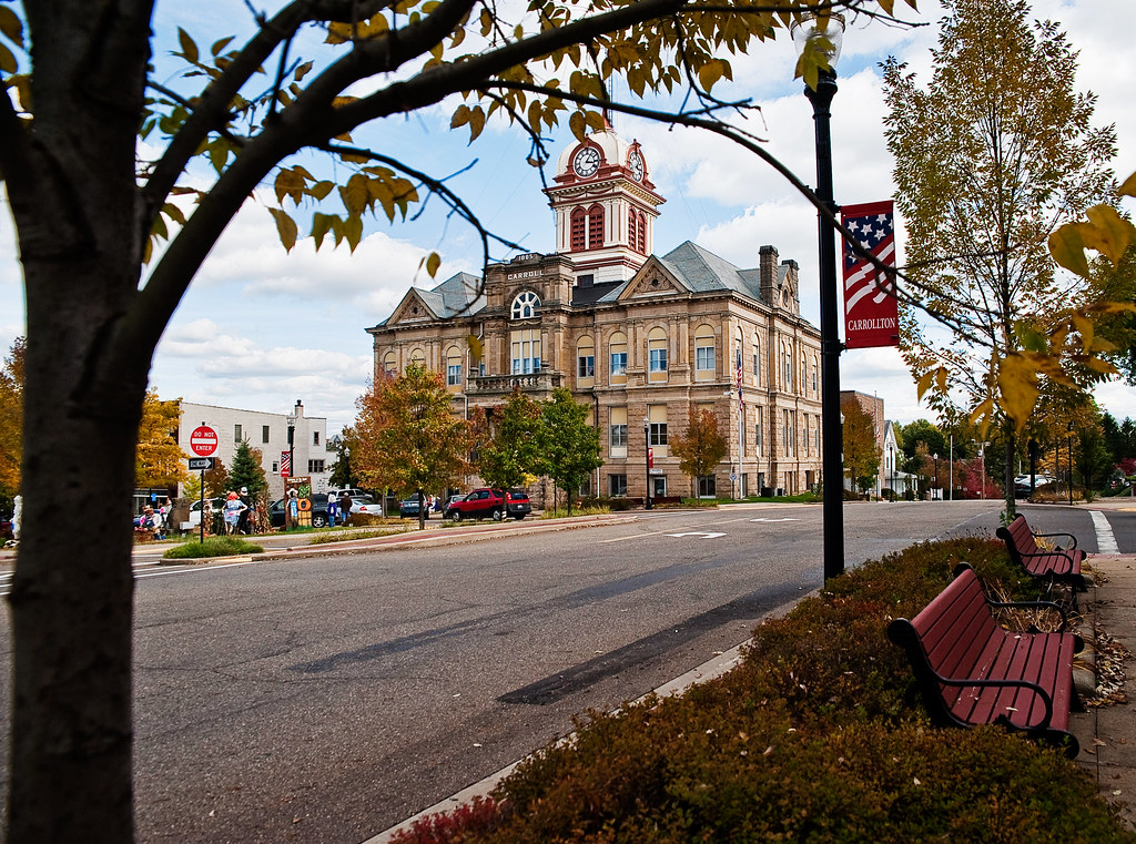
Carroll County Courthouse - 1865

Hinge...
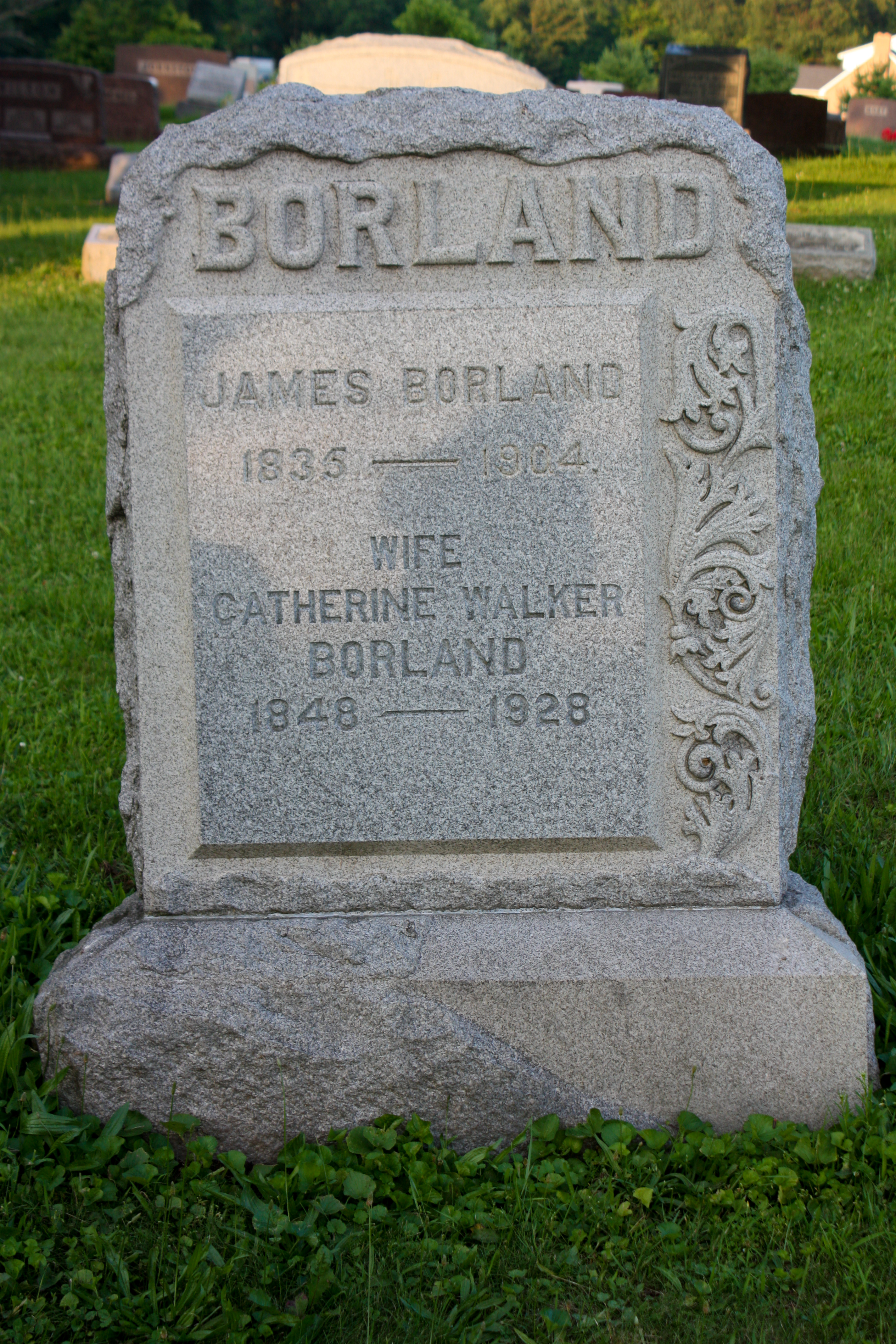
James and Catherine (Walker) Borland
View in Carrollton
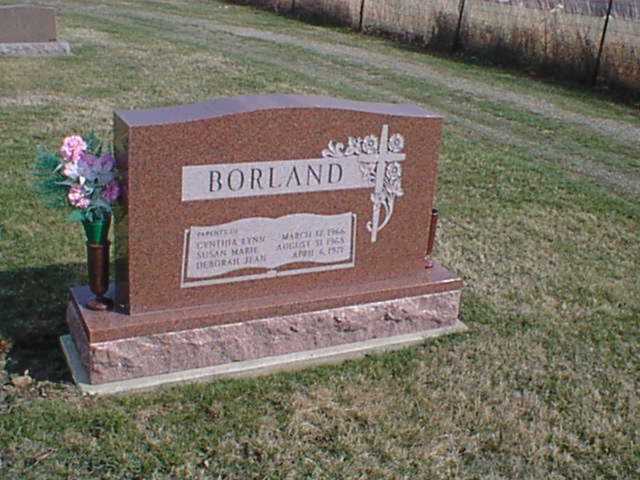
Borland Grave
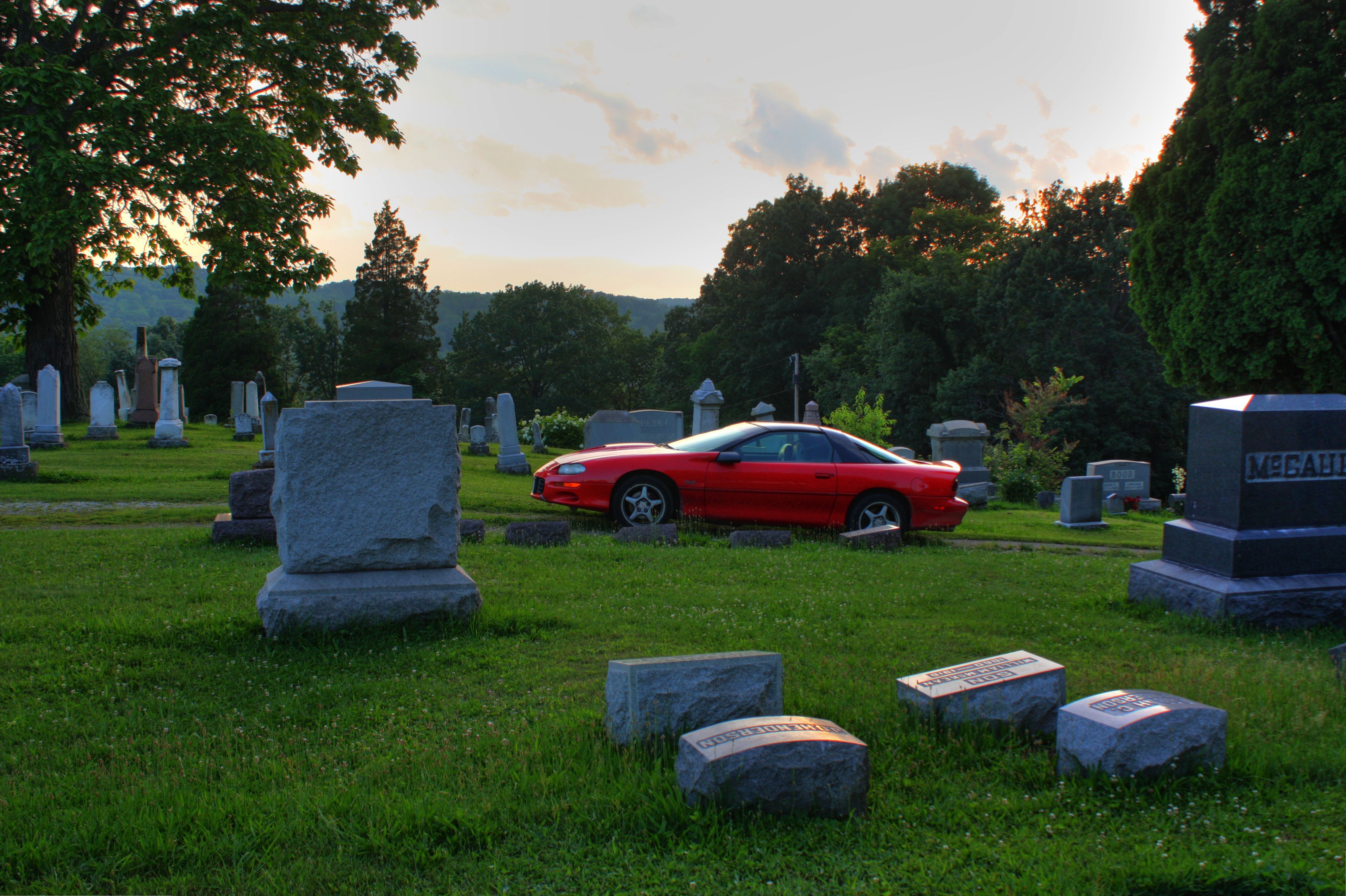
My Camaro at Long View Cemetery

Flying Ford...
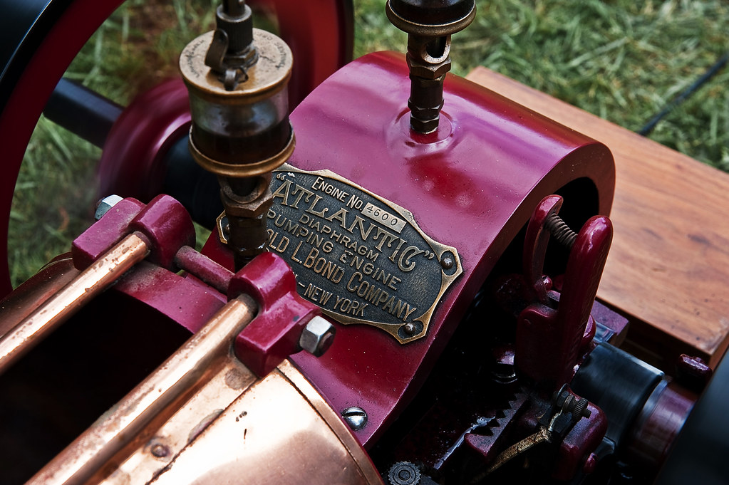
Brass & burgundy...
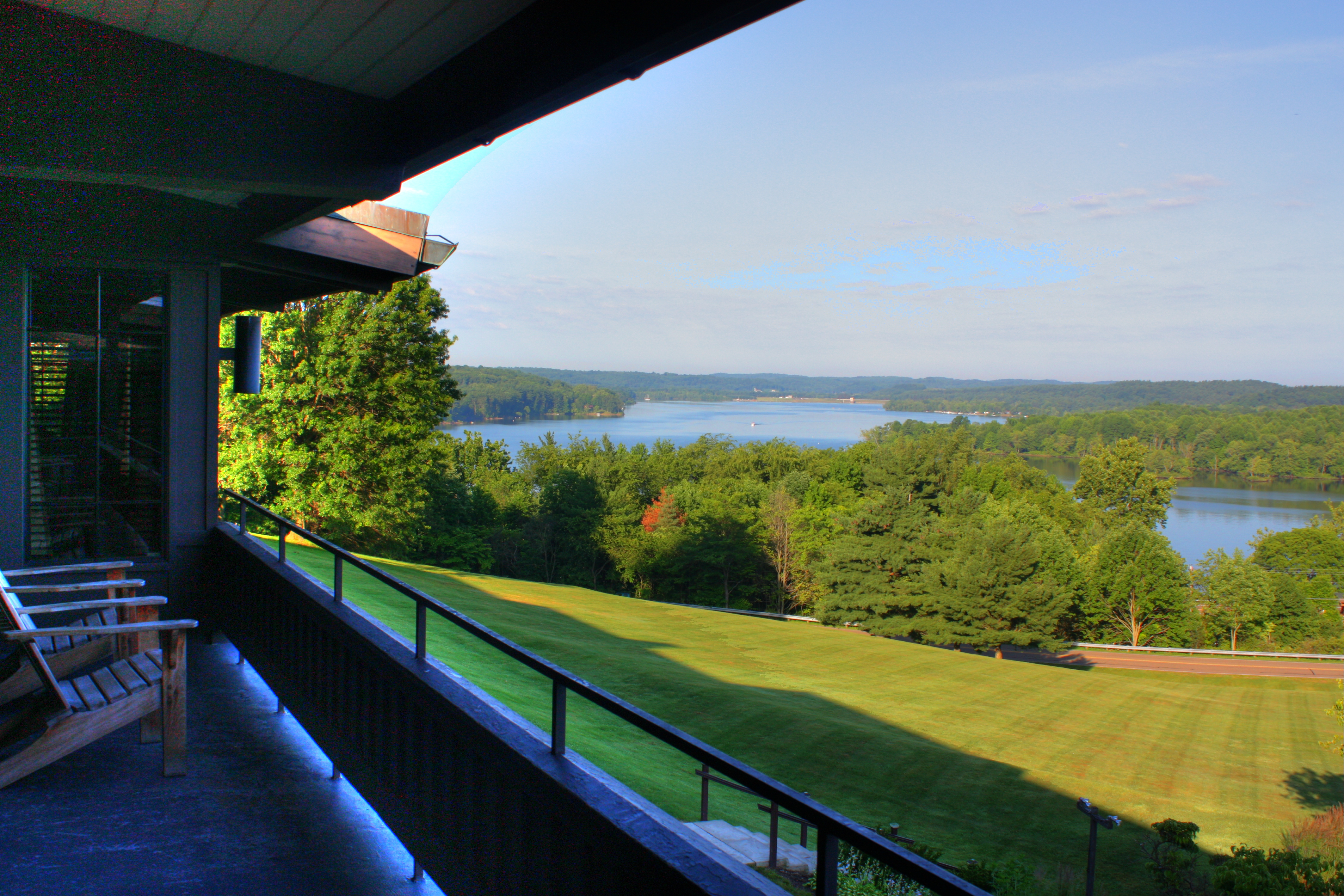
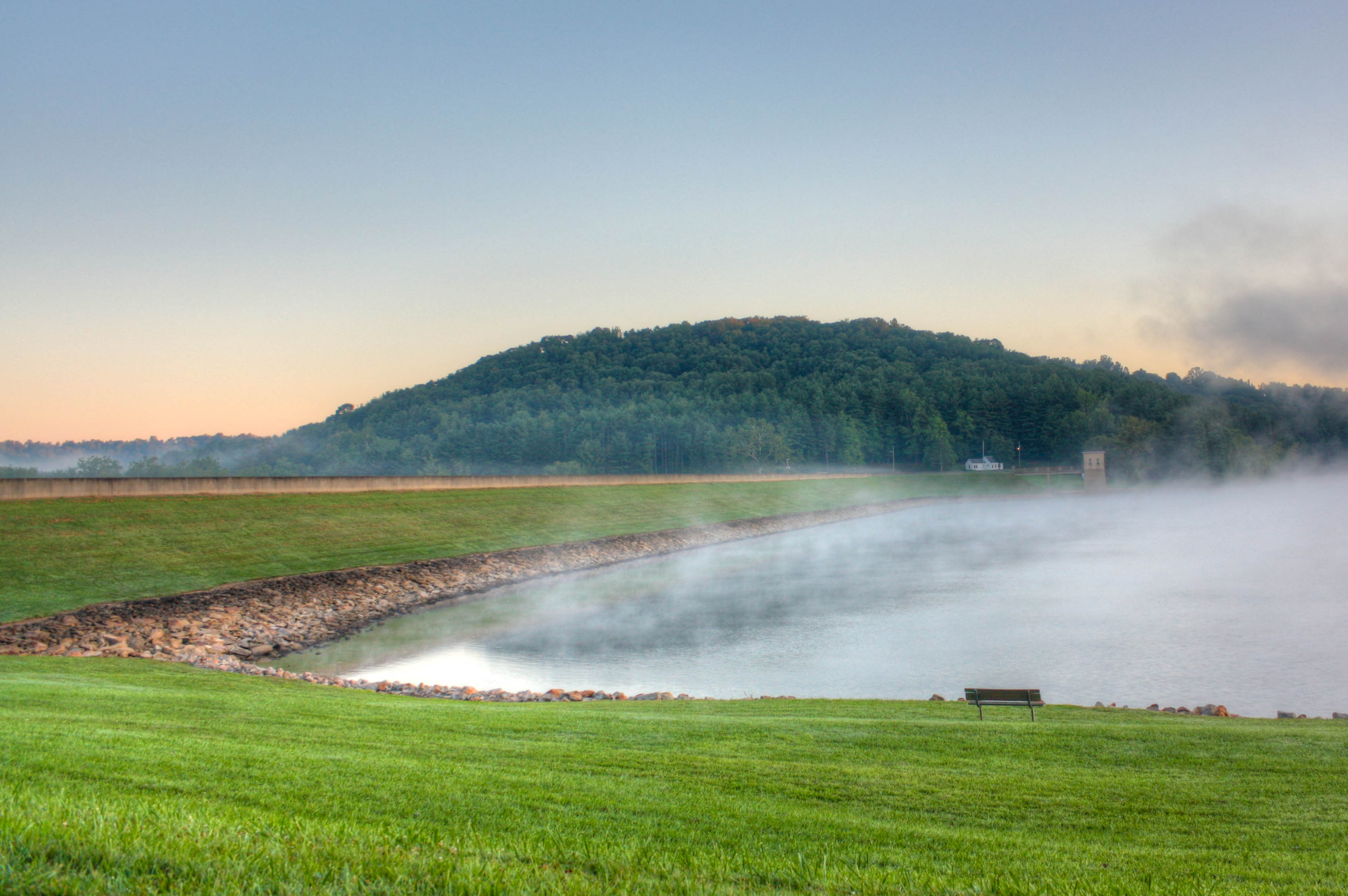
View From Atwood Lodge

Sunset at Leesville Lake

Long View Cemetery
Mineral Rights
Fog on Leesville Lake
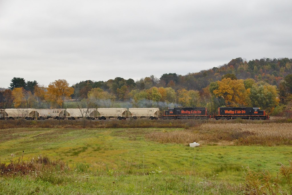
W&LE 6352 Leesville 212 10/17/14

Sunset at Leesville Lake
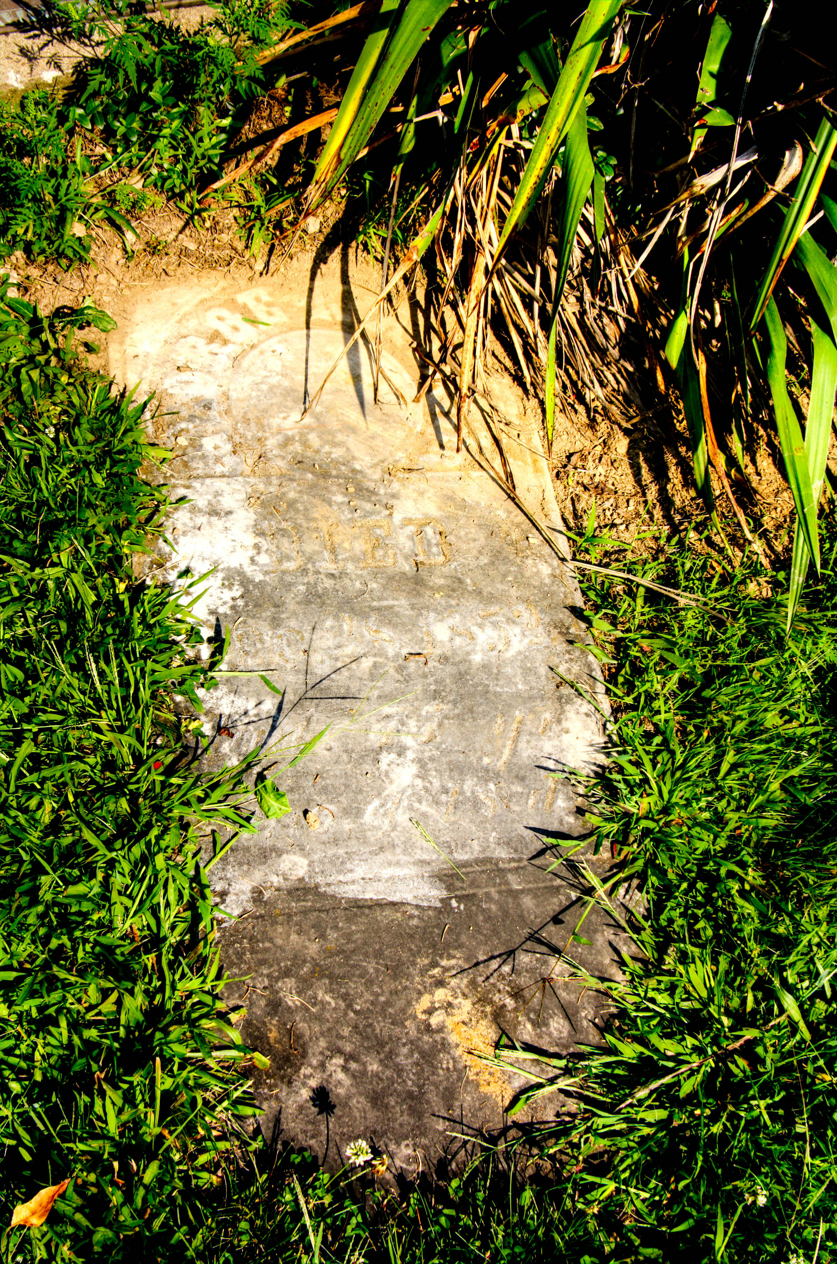
George Kail Grave
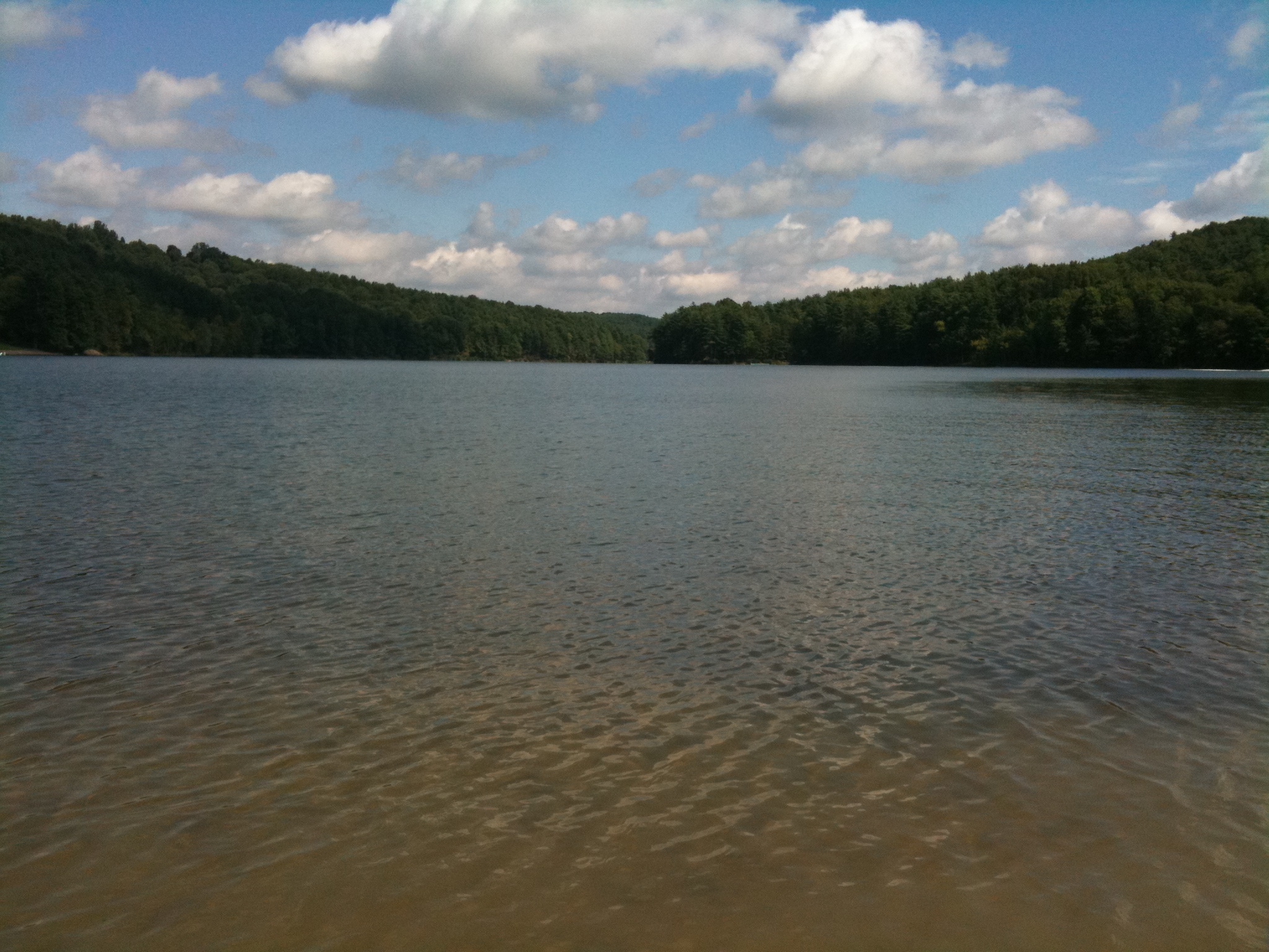
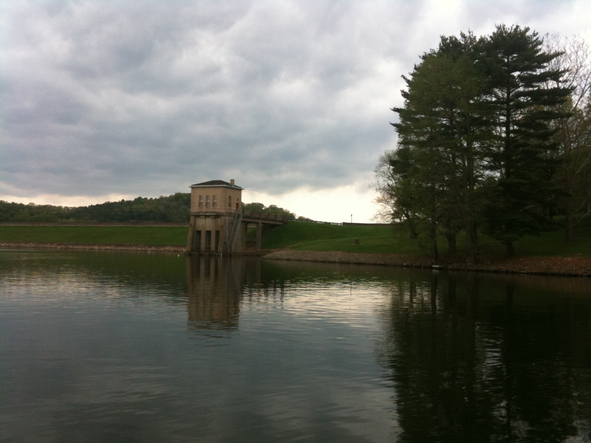
Leesville Lake
Leesville Lake Flooding Image 3 6-20-2004 Photo

Zoarville Station Bridge
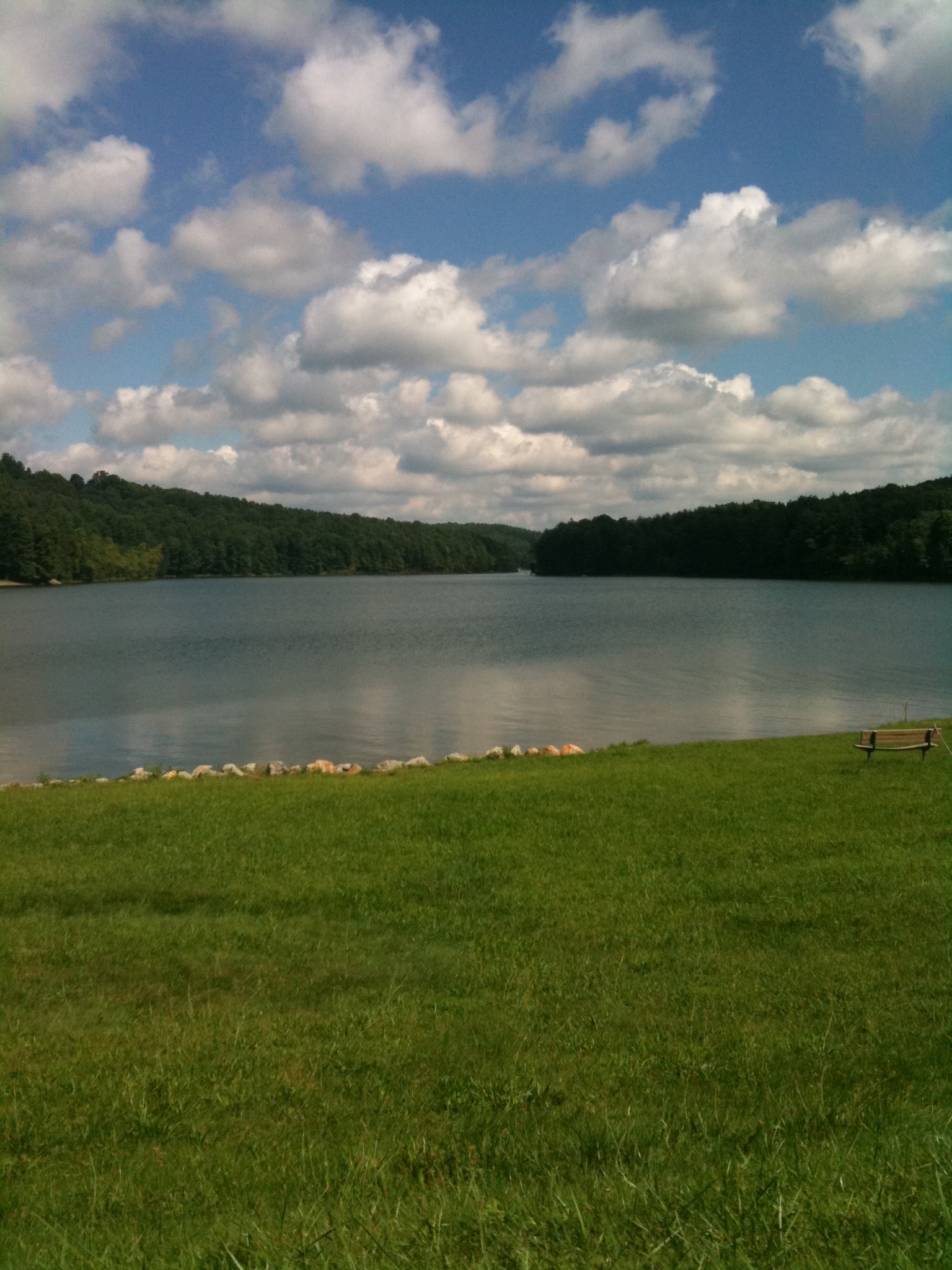
Leesville Lake

Atwood Beach Courtesy Dock
Leesville Lake Flooding Image 2 6-20-2004 Photo

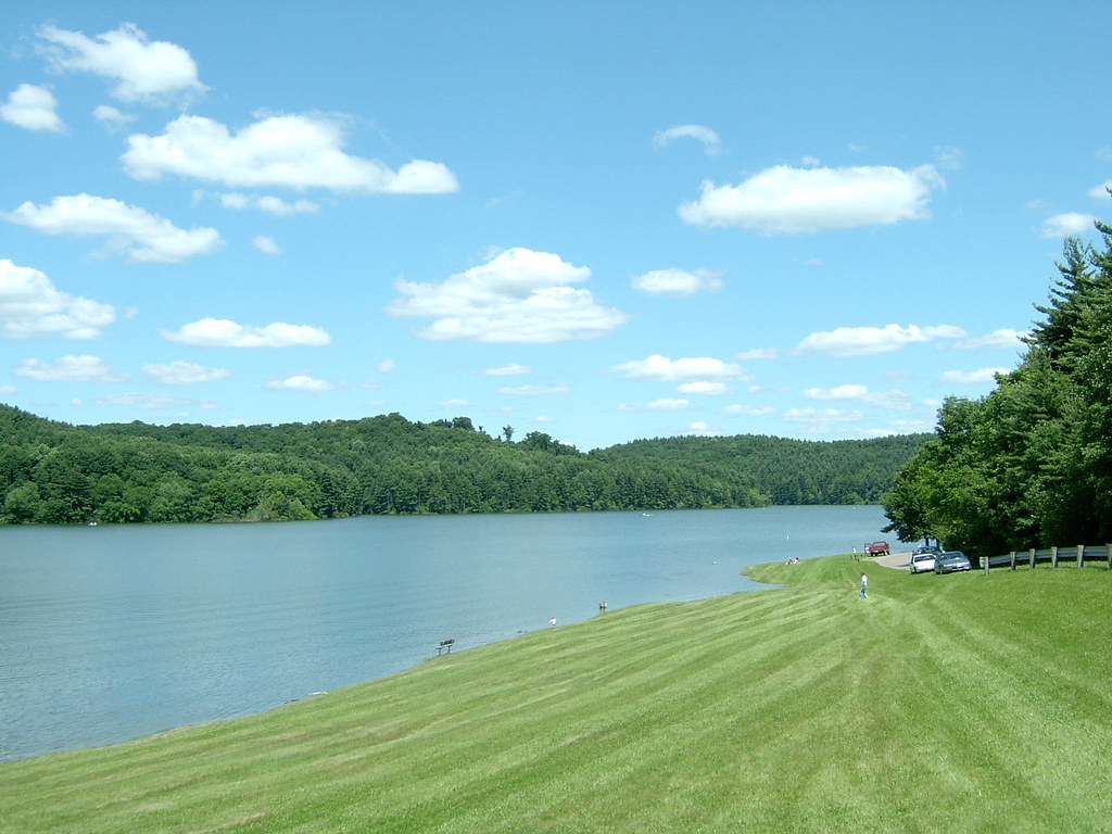
Atwood Lake
I'm on a boat!

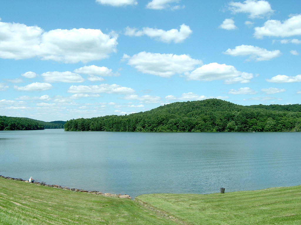
Atwood Lake from Cabins Area

Atwood Beach

Atwood Emergency Spillway

Atwood Lake 6-20-2004 Photo
Drive Around Forbes Corners Campground

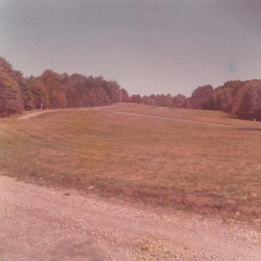
Atwood Lake Flooding Image 3 6-20-2004 Photo
Topographic Map of Roswell Rd SW, Sherrodsville, OH, USA
Find elevation by address:

Places near Roswell Rd SW, Sherrodsville, OH, USA:
Monroe Township
Taft St SW, Sherrodsville, OH, USA
Lakewood Dr NE, Mineral City, OH, USA
Market St, Bowerston, OH, USA
Warren Township
3731 Tabor Ridge Rd Ne
Fairfield Township
Goshen Township
S High St, Mineral City, OH, USA
Mineral City
2106 Tabor Ridge Rd Ne
State St, New Philadelphia, OH, USA
1199 Glen Dr Ne
W High Ave, New Philadelphia, OH, USA
New Philadelphia
770 5th St Nw
406 Mill Ave Sw
536 Rankin Ct Sw
Dover
Oldtown Valley Rd SW, New Philadelphia, OH, USA
Recent Searches:
- Elevation of Corso Fratelli Cairoli, 35, Macerata MC, Italy
- Elevation of Tallevast Rd, Sarasota, FL, USA
- Elevation of 4th St E, Sonoma, CA, USA
- Elevation of Black Hollow Rd, Pennsdale, PA, USA
- Elevation of Oakland Ave, Williamsport, PA, USA
- Elevation of Pedrógão Grande, Portugal
- Elevation of Klee Dr, Martinsburg, WV, USA
- Elevation of Via Roma, Pieranica CR, Italy
- Elevation of Tavkvetili Mountain, Georgia
- Elevation of Hartfords Bluff Cir, Mt Pleasant, SC, USA