Elevation of Carroll County, OH, USA
Location: United States > Ohio >
Longitude: -81.075465
Latitude: 40.5328331
Elevation: 382m / 1253feet
Barometric Pressure: 97KPa
Elevation Map:
Satellite Map:
Related Photos:
A Fond Memory

Dress shoulderboards, Union Major General

'31 Ford
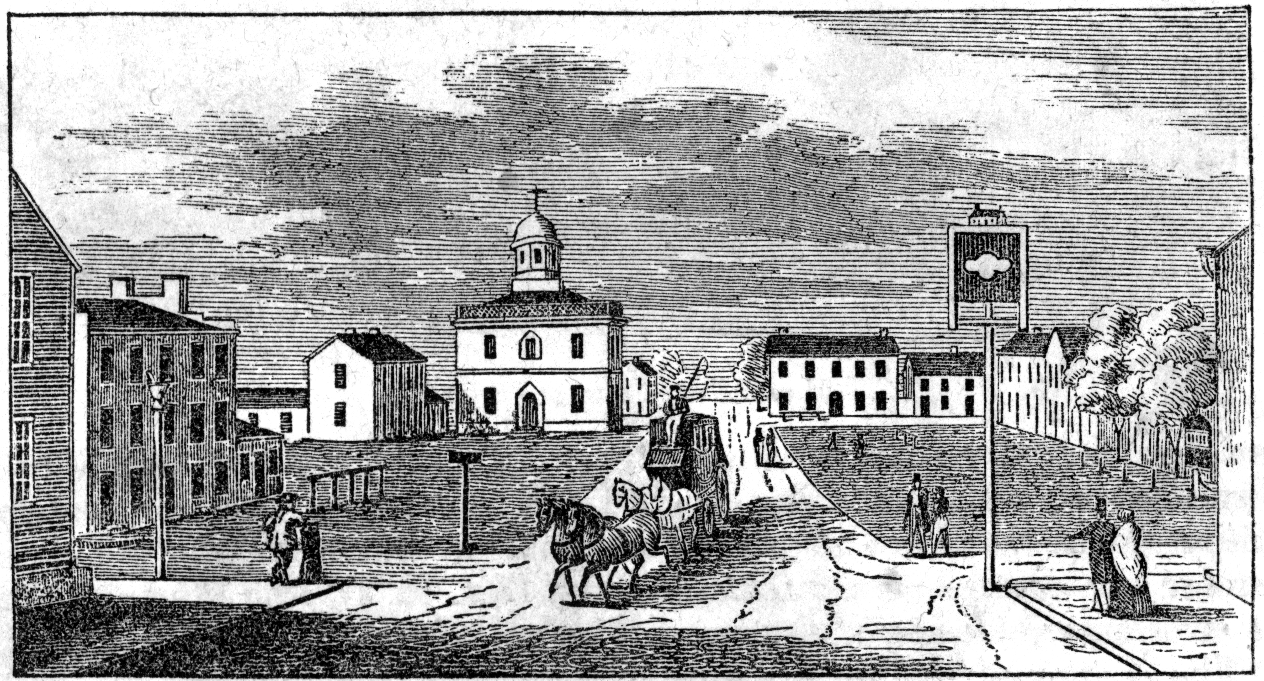
Carroll County Courthouse - 1865
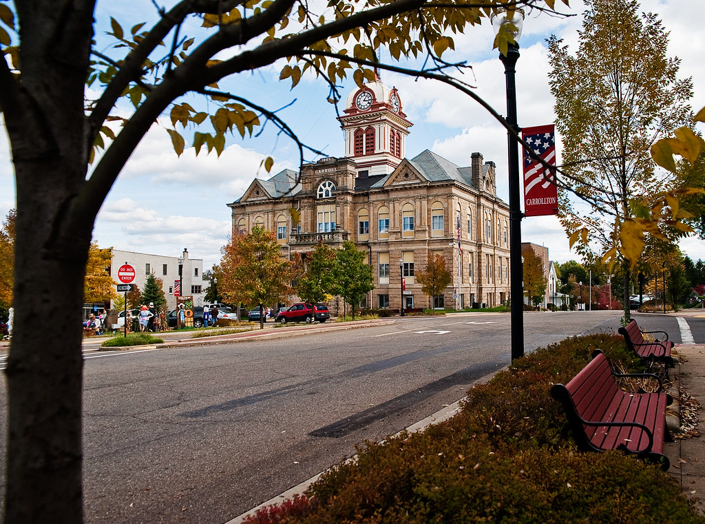
View in Carrollton
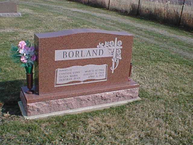
Borland Grave

Weldon and Vivian Borland Grave

Le Sabre

Blazing Horizon

Lost in Thought

Groundhog Day Eve
Days Like This

pseudo forest fire
Nice Day

Vampyre Jack
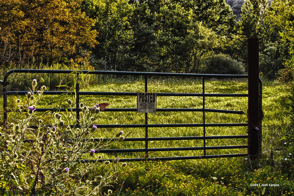
Carroll County, Ohio

October Day

hdr12 4
Nickel Plate Road engine
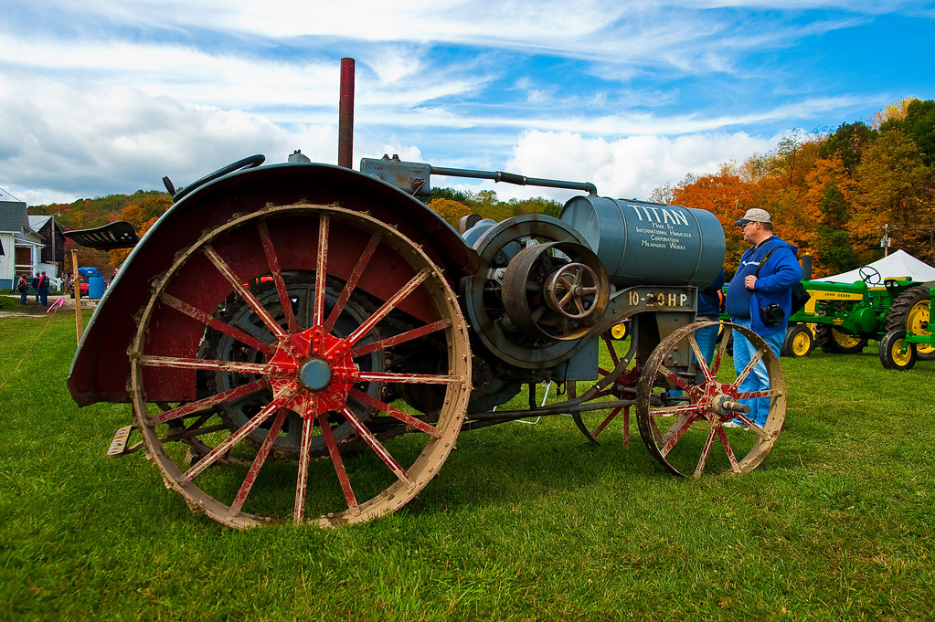
Tractor porn...

A look around
Mineral Rights
Northeast Ohio Sunset

Green Green Grass
Clover Road 2
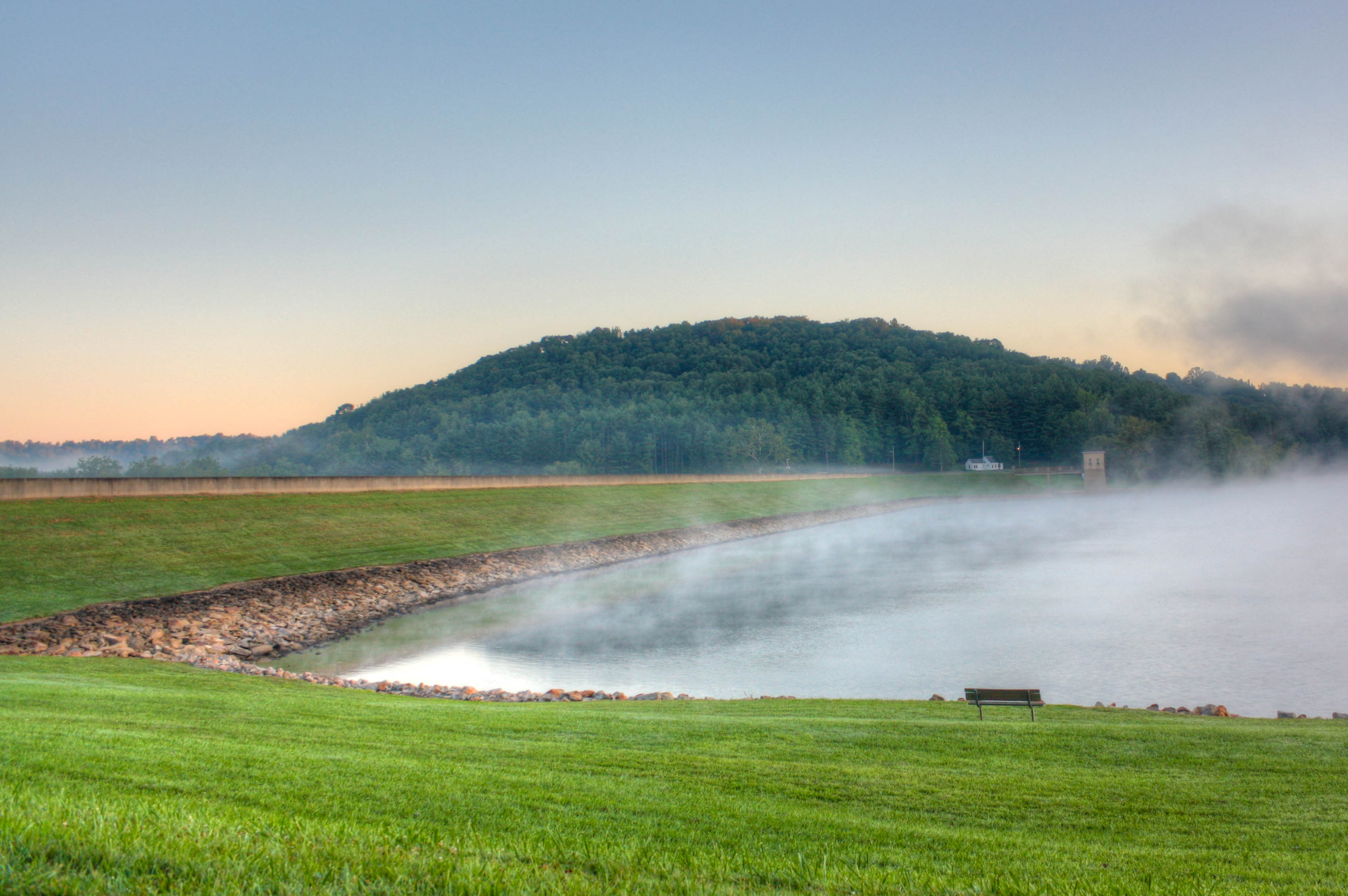
Fog on Leesville Lake

Sunset at Leesville Lake
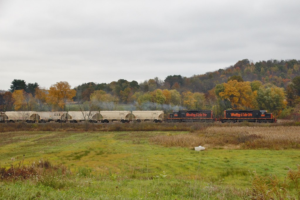
W&LE 6352 Leesville 212 10/17/14

St. Patrick's Day Morning

Sunset at Leesville Lake
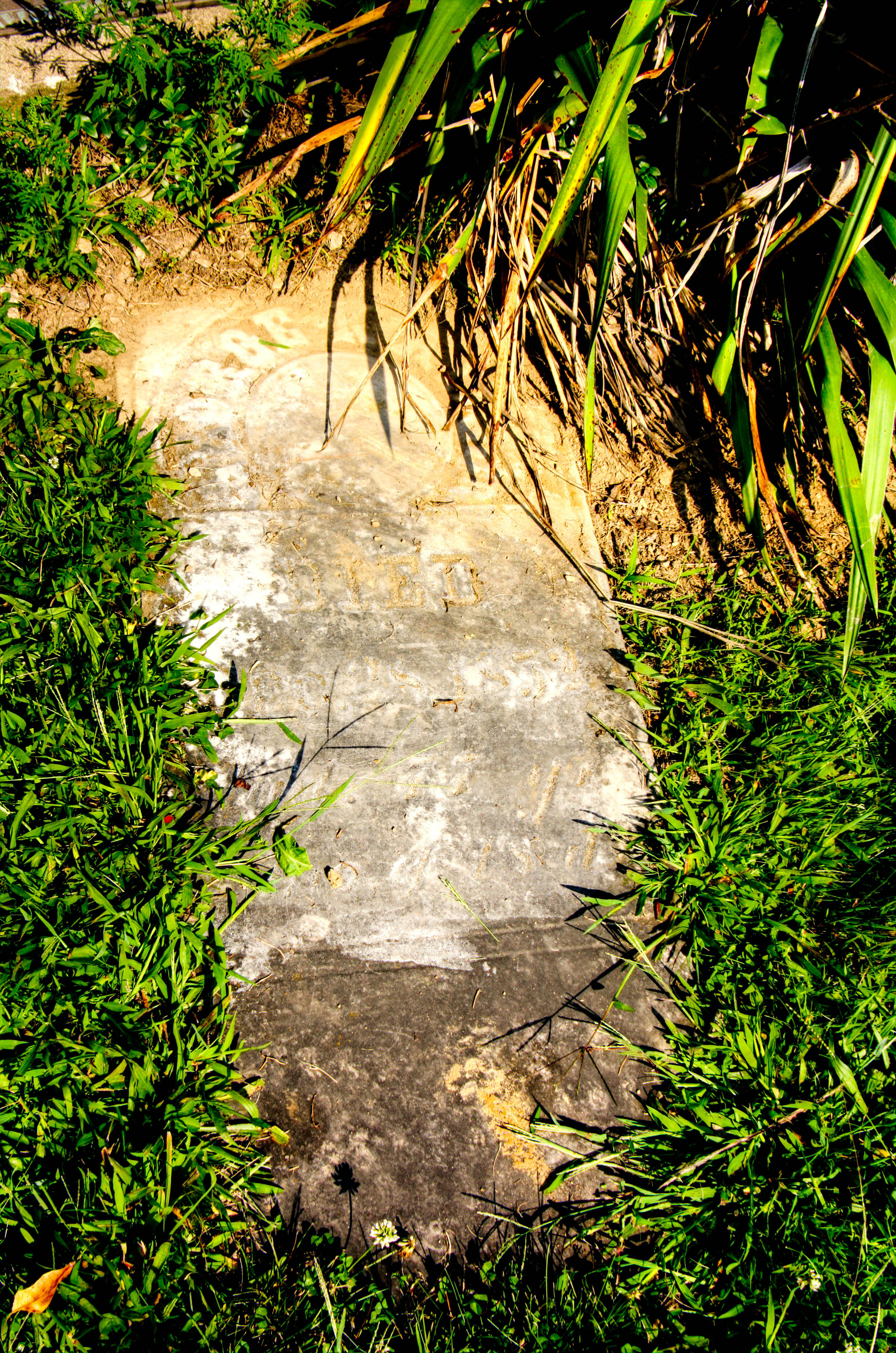
George Kail Grave
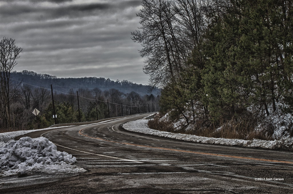
OH Route 164
Greener on the Other Side
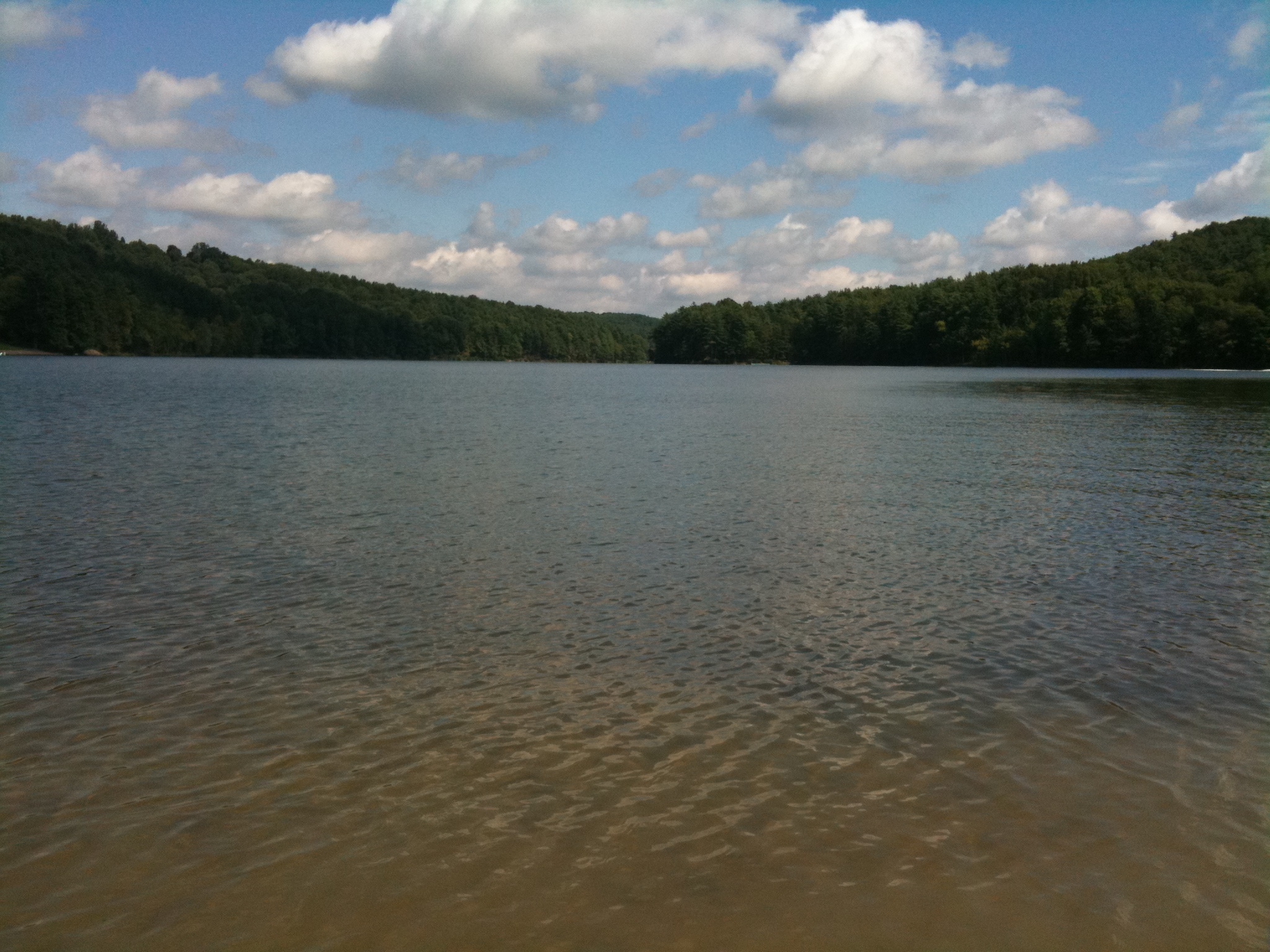
Leesville Lake

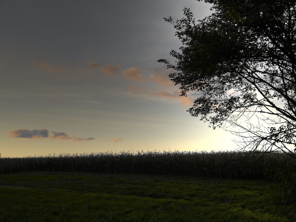
Evening near Mechanicstown, Ohio
Topographic Map of Carroll County, OH, USA
Find elevation by address:

Places in Carroll County, OH, USA:
Brown Township
Perry Township
Monroe Township
Augusta Township
Brown Township
Brown Township
Brown Township
Brown Township
Brown Township
Brown Township
Washington Township
W Canal St, Malvern, OH, USA
Augusta Township
OH-, Salineville, OH, USA
Waynesburg Rd NE, Waynesburg, OH, USA
Market St, Bowerston, OH, USA
Revere Dr SW, Bowerston, OH, USA
Bachelor Rd NW, Magnolia, OH, USA
Deacon Rd SW, Bowerston, OH, USA
Waynesburg Rd NE, Carrollton, OH, USA
Pageant Rd SE, Carrollton, OH, USA
Vesper Rd SW, Carrollton, OH, USA
Places near Carroll County, OH, USA:
Pageant Rd SE, Carrollton, OH, USA
Carrollton
Perry Township
Vesper Rd SW, Carrollton, OH, USA
Scio Rd SW, Scio, OH, USA
1385 Poinsettia Rd
1385 Poinsettia Rd
1385 Poinsettia Rd
Washington Township
Waynesburg Rd NE, Carrollton, OH, USA
Graber Dr SW, Dellroy, OH, USA
5230 Norco Rd Ne
Revere Dr SW, Bowerston, OH, USA
Scio
New Rumley
Rumley Rd E, Jewett, OH, USA
Maple Ave NW, Carrollton, OH, USA
Augusta Township
Augusta Township
Deacon Rd SW, Bowerston, OH, USA
Recent Searches:
- Elevation of Corso Fratelli Cairoli, 35, Macerata MC, Italy
- Elevation of Tallevast Rd, Sarasota, FL, USA
- Elevation of 4th St E, Sonoma, CA, USA
- Elevation of Black Hollow Rd, Pennsdale, PA, USA
- Elevation of Oakland Ave, Williamsport, PA, USA
- Elevation of Pedrógão Grande, Portugal
- Elevation of Klee Dr, Martinsburg, WV, USA
- Elevation of Via Roma, Pieranica CR, Italy
- Elevation of Tavkvetili Mountain, Georgia
- Elevation of Hartfords Bluff Cir, Mt Pleasant, SC, USA